Green Bay, WI
Weather Forecast Office
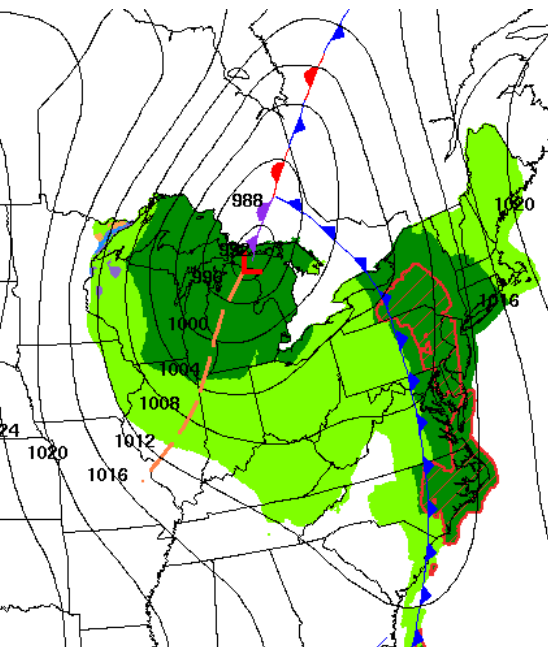
A strong low pressure system will continue to bring strong winds to the western Great Lakes region through tonight. Wind gusts of 30 to 45 mph are expected across much of the region, except 45 to 60 mph across Door County. The strongest winds are expected through the late morning hours. Some impacts of this storm will be: downed trees or broken tree branches, sporadic power outages and hazardous travel conditions for high profile vehicles. On the Great Lakes, gale force gusts are expected. A few storm force gusts are possible across the coastal waters of northern Door County through this evening.
 |
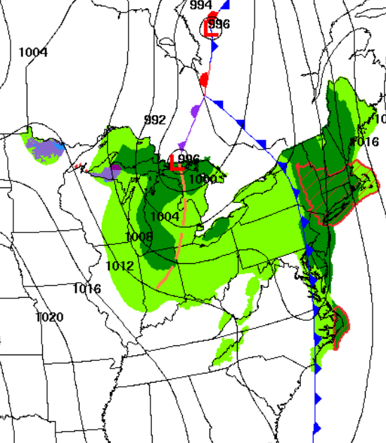 |
| 7 AM Today | 7 PM This Evening |
.PNG) |
| Maximum Wind Gust (MPH) through Tonight |
| Current Watches, Warnings and Advisories - Click for larger view |
 |
| Latest Radar - Click for larger view | ||
|
Here are additional links:
US Dept of Commerce
National Oceanic and Atmospheric Administration
National Weather Service
Green Bay, WI
2485 South Point Road
Green Bay, WI 54313-5522
920-494-2363
Comments? Questions? Please Contact Us.


