June 2, 1990
Violent F4 Tornado In Bright, Indiana and Harrison, OH
An unseasonably strong low pressure system across the Upper Midwest helped pull very warm and moist air northward into the Ohio Valley. This unstable airmass sat beneath a fairly potent jetstream (which helped increase the available shear for storms). Many tornadoes developed during the day of June 2 across Indiana before activity tracked eastward into extreme southeastern Indiana and southwestern Ohio. Many of these storms were tornadic in nature, including one which moved through the town of Bright Indiana and Harrison, Ohio during the nighttime hours. This storm produced a violent F4-rated tornado.
The violent tornado that moved through Bright Indiana damaged as many as 50 homes, including several that were brick construction. The tornado then tracked east and produced F4 damage in parts of Harrison and New Baltimore, Ohio. Several hundred homes were damaged, with as many as two dozen buildings completely destroyed. The storm eventually tracked east into southern Butler County where damage also occurred. In total, 37 people were injured by this tornado which was estimated to have been on the ground for 33 miles.
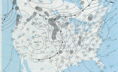
Weather Setup & Local Radar Images
|
|
|
|
The first tornado watch issued was over the western Ohio Valley |
||
|
||
|
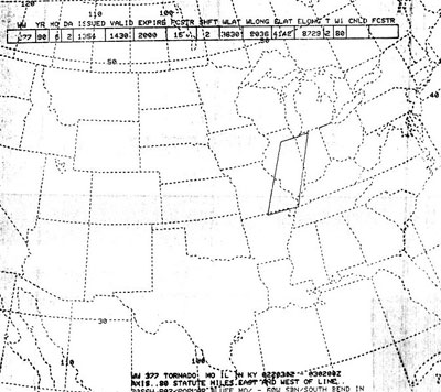
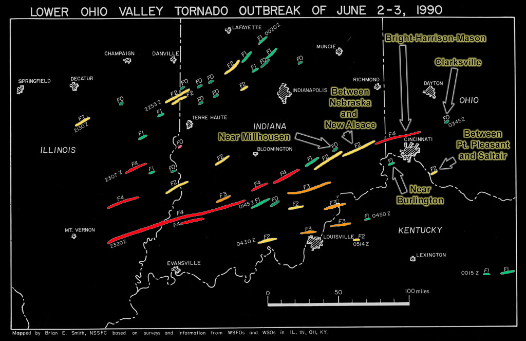
June 2-3 Tornado Outbreak In Ohio Valley (image courtesy of Brian E. Smith, NSSFC) |
||
|
|
|
|
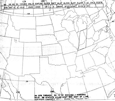
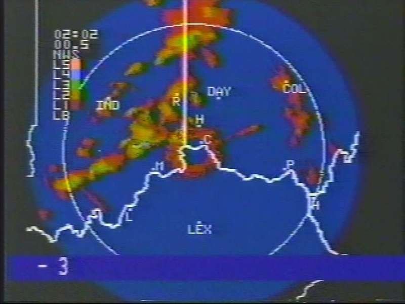
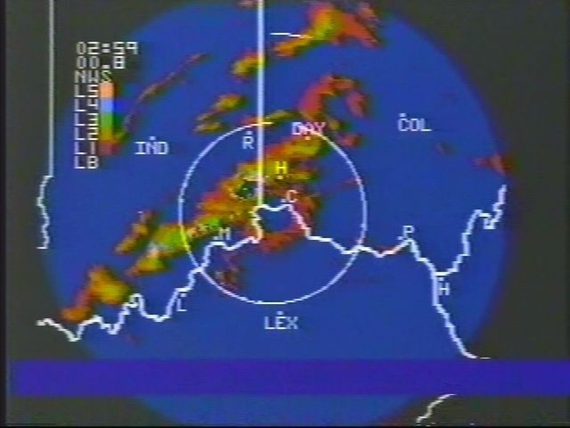
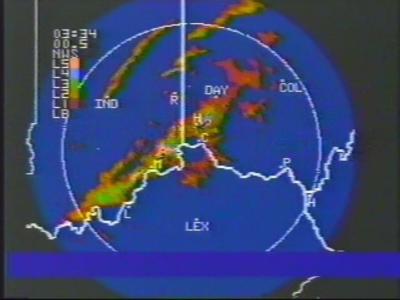
Radar image around the time of tornado touchdown in Bright, IN |
Radar Images Courtesy of Tony Lombardi
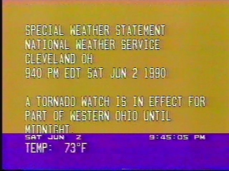
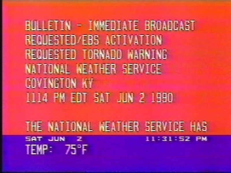
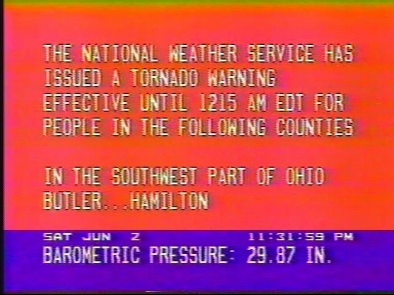
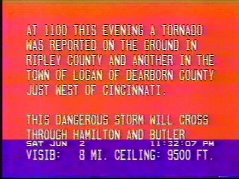
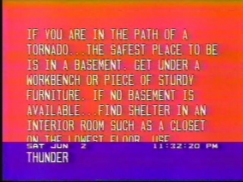
Local Warning Texts
Screen Captures of Warning Text Courtesy of Tony Lombardi
Local Newspaper Stories of Damage
|
|

|
|
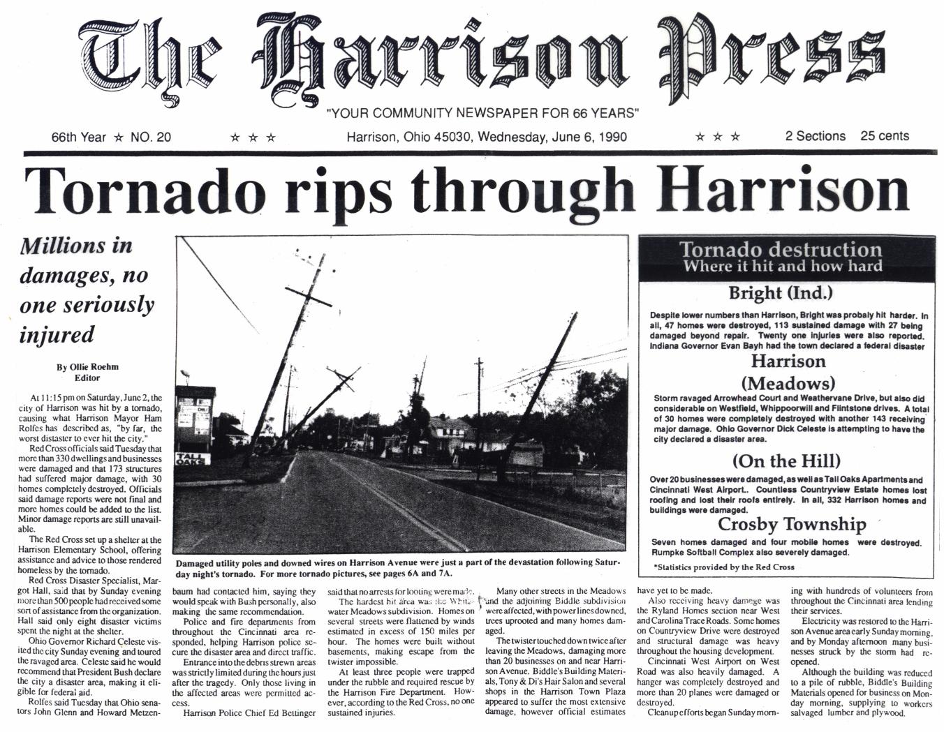
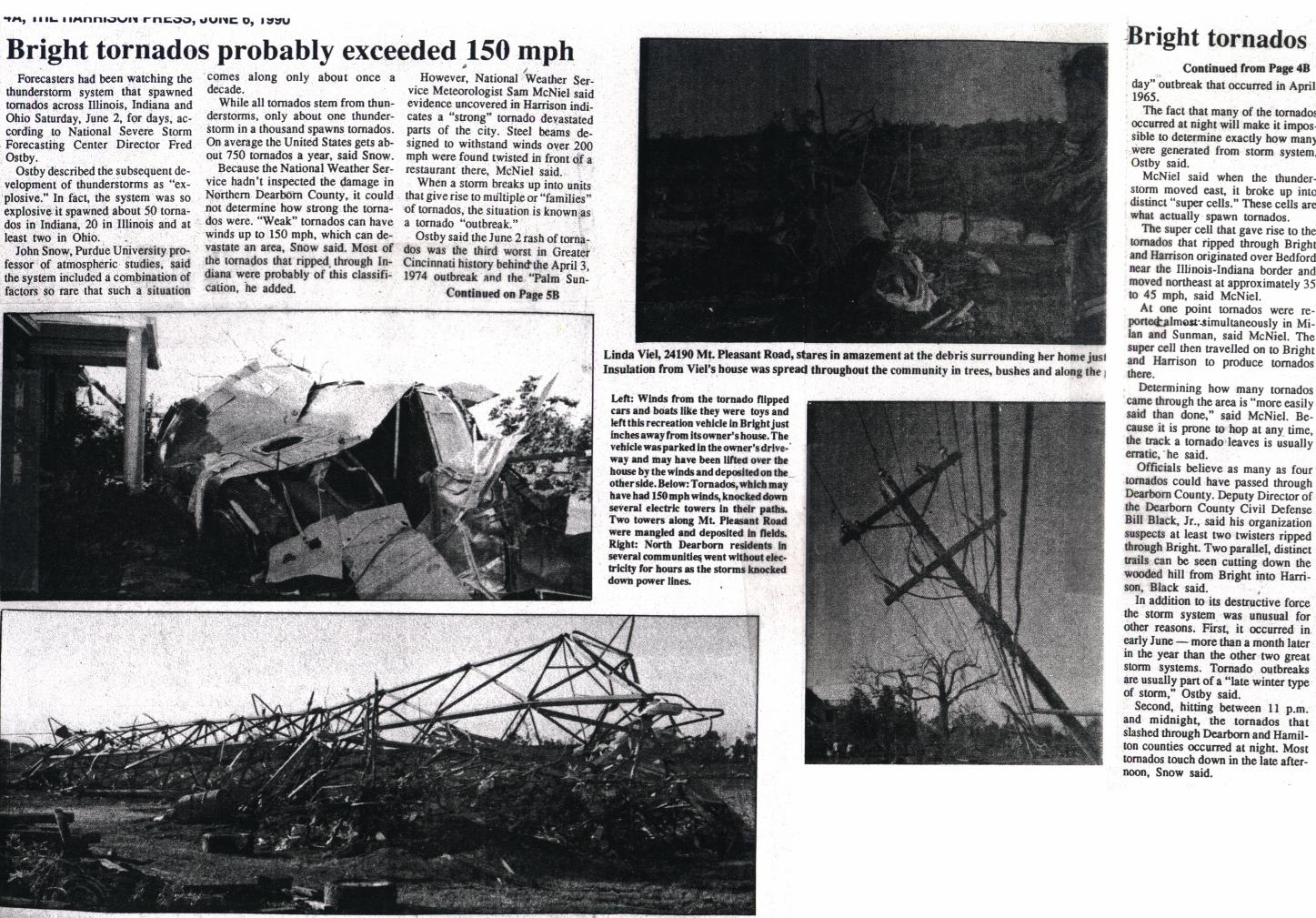
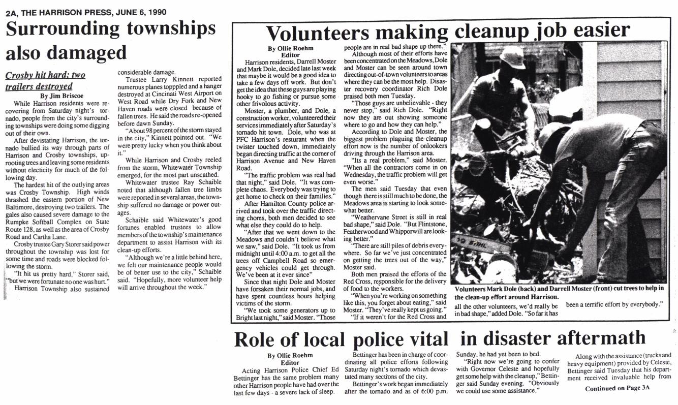
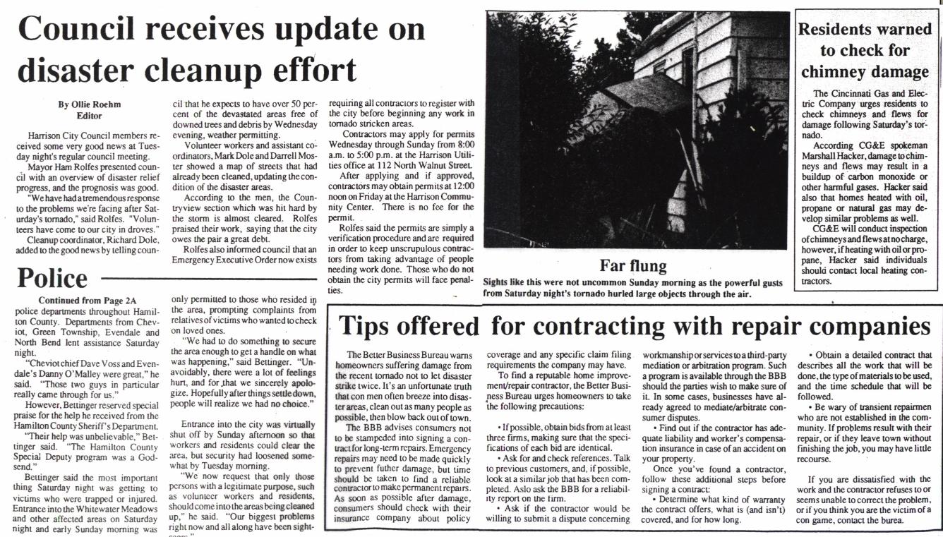
Article detail first-hand accounts of storm with numerous local pics of damage |
||
|
|
|
|
Many residents had to not only clean up the damage, but also repair it. |
Newspaper Clippings & Articles Courtesy of Tony Lombardi
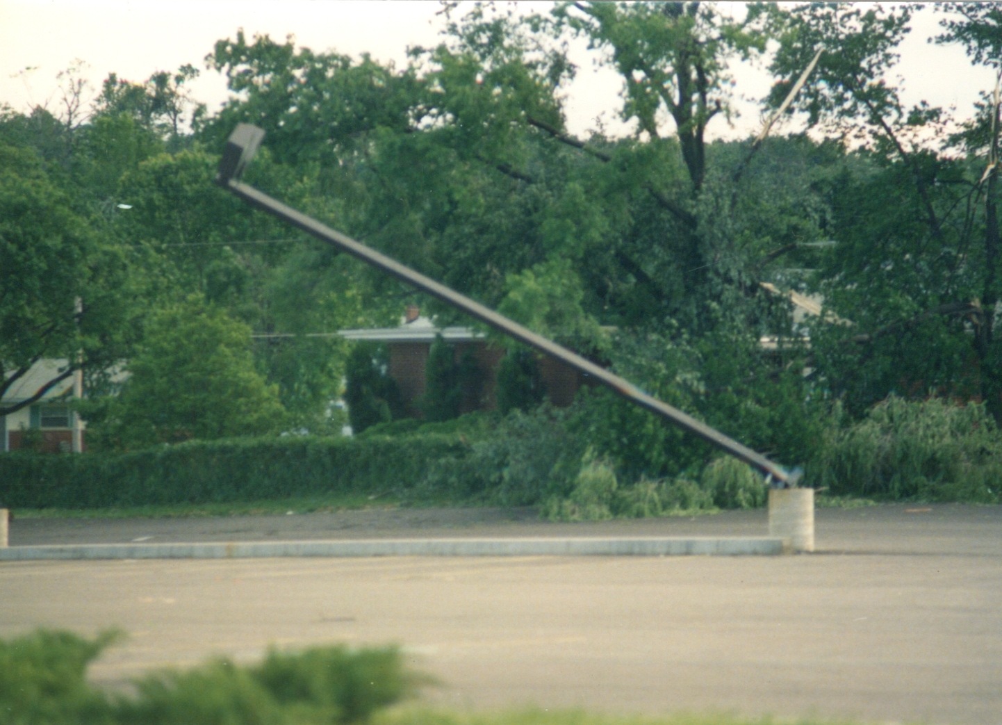
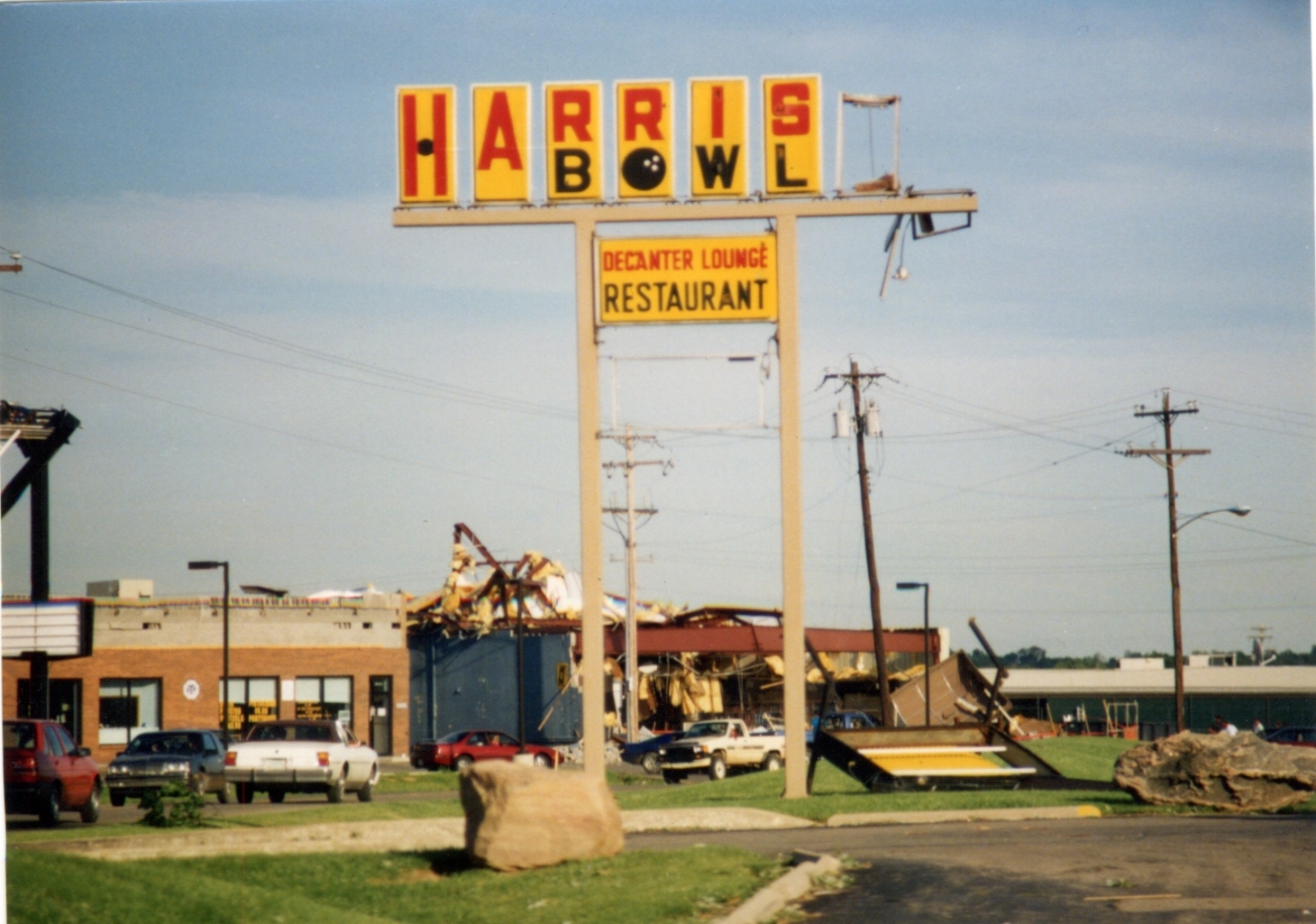
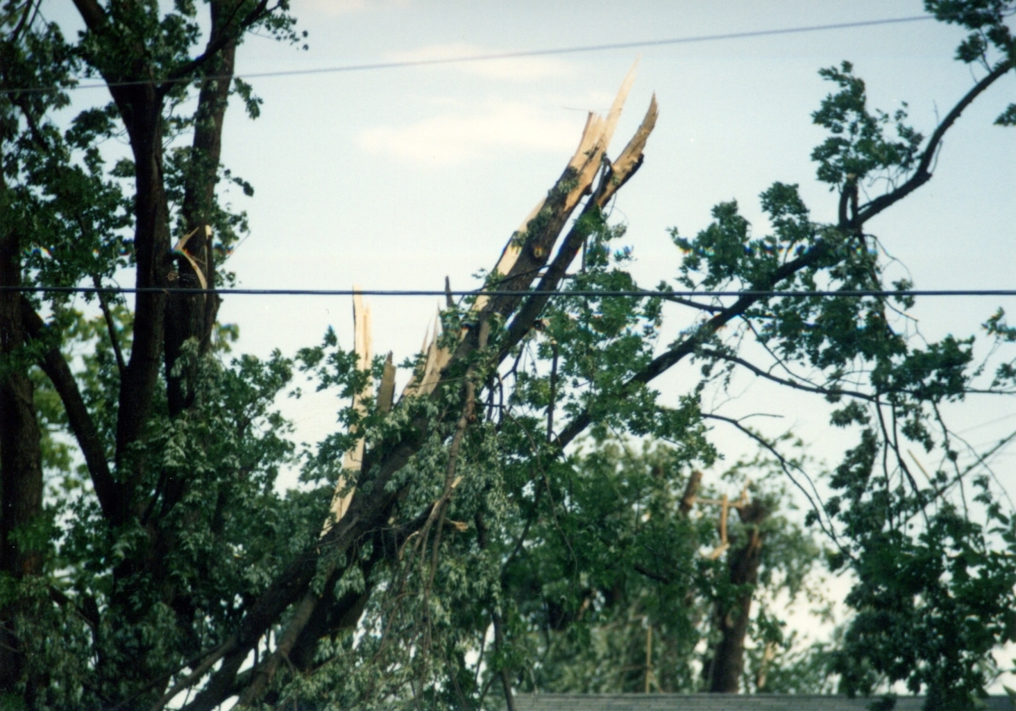
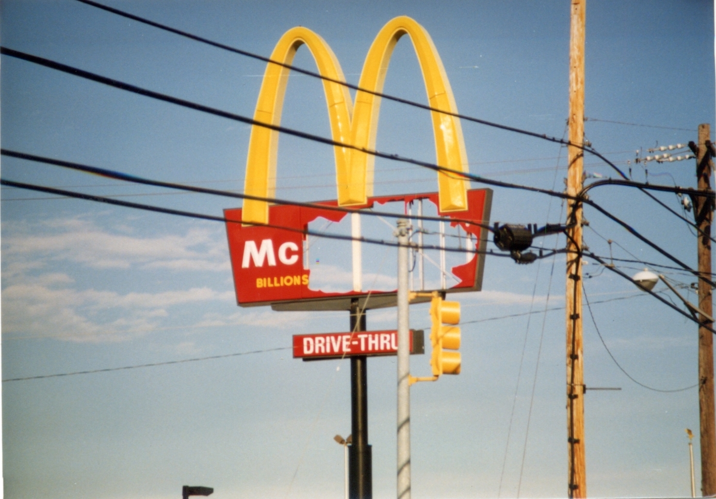
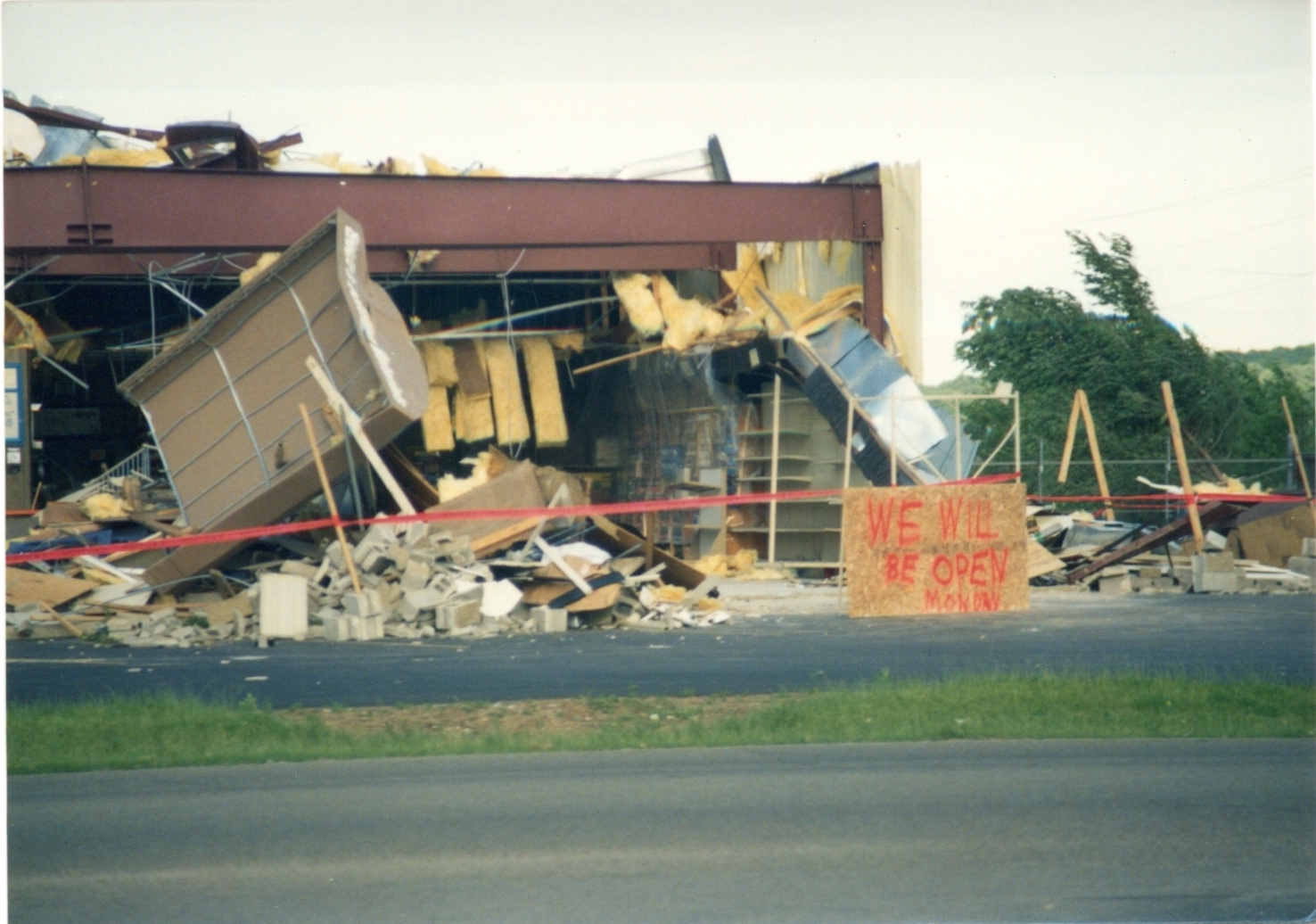
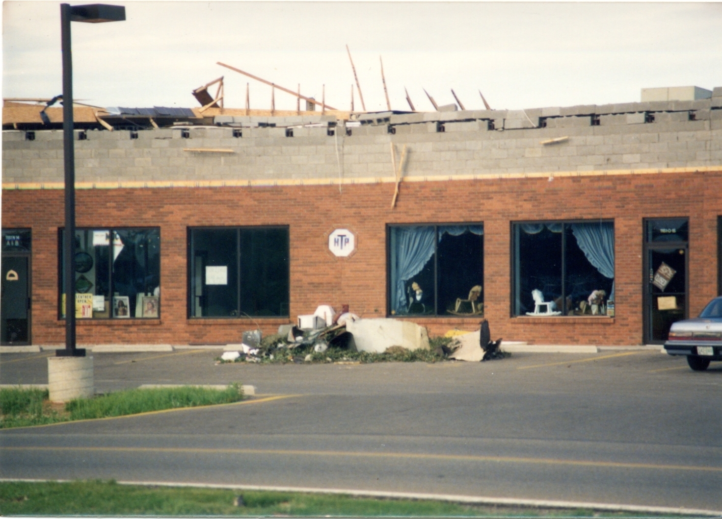
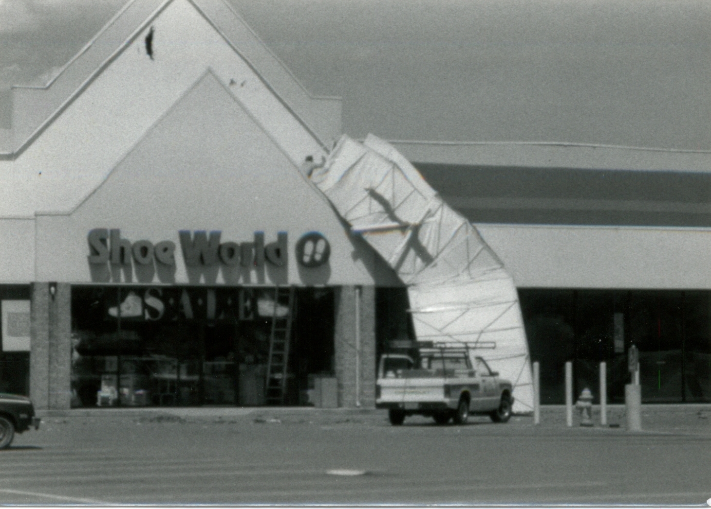
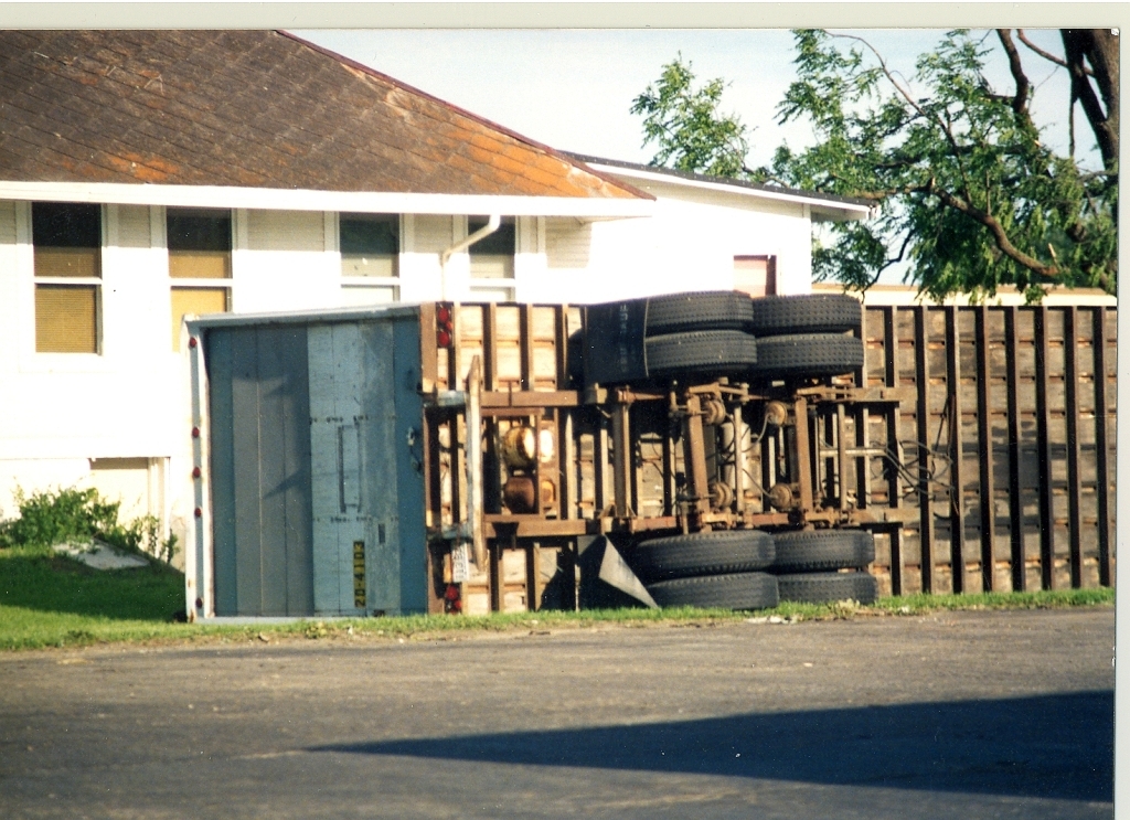
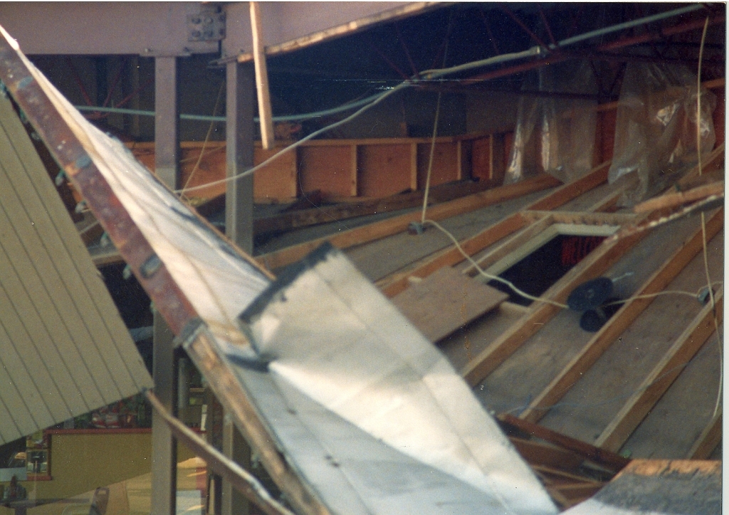
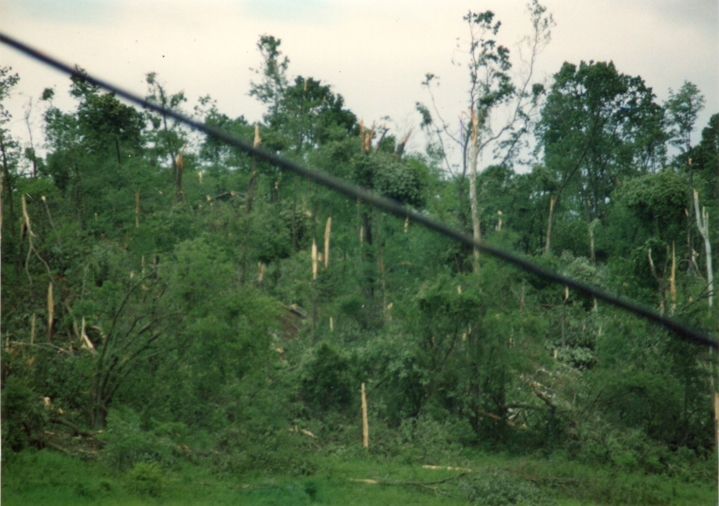
Local Damage Pictures
|
|
|
|
|
|
|

|
|
|
|
|
Newspaper Clippings & Articles Courtesy of Tony Lombardi