PUBLIC INFORMATION STATEMENT
NATIONAL WEATHER SERVICE WILMINGTON OH
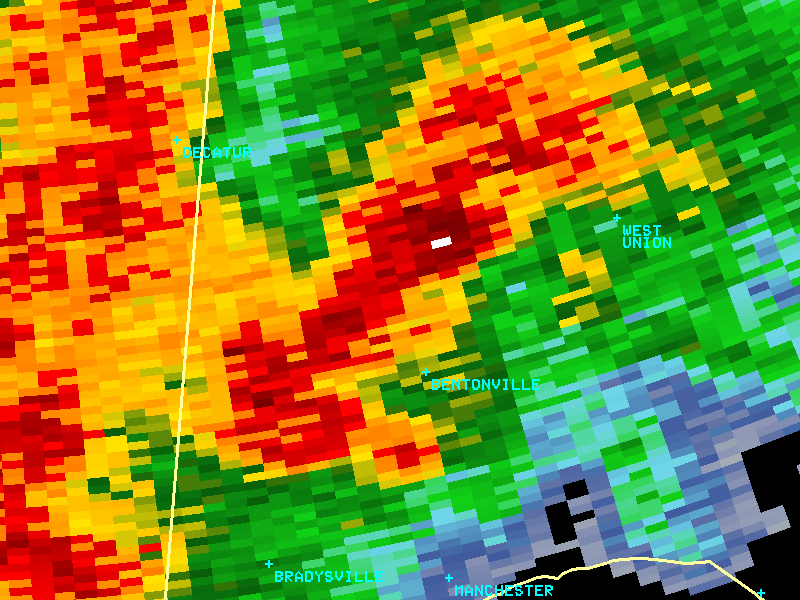
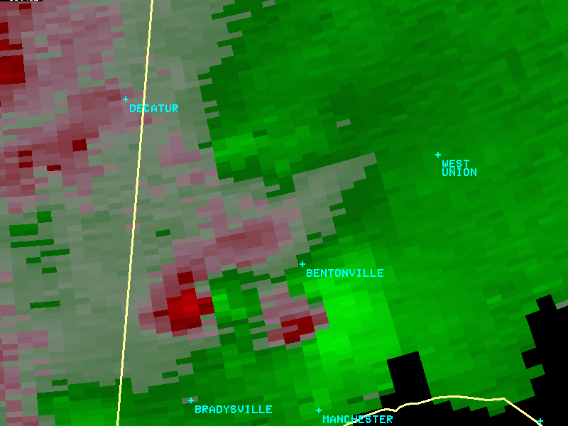
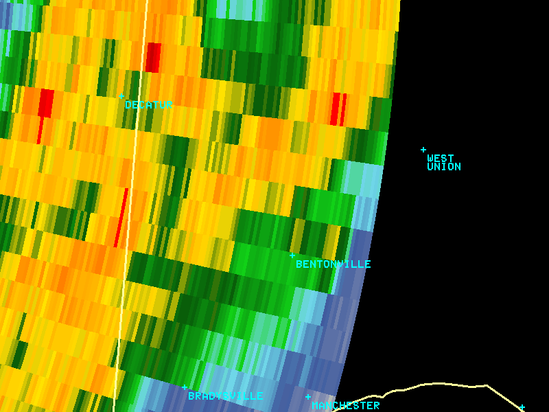
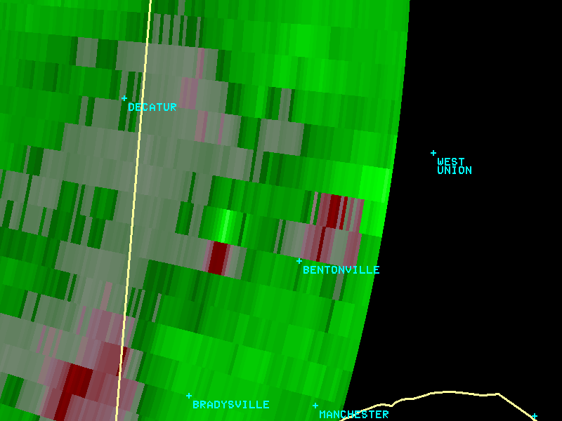
...TORNADO CONFIRMED NEAR BENTONVILLE OHIO...
LOCATION...NEAR MOUNT ORAB, OHIO
DATE...05/21/2010
ESTIMATED TIME...844 PM EDT
MAXIMUM EF-SCALE RATING...EF1
ESTIMATED MAXIMUM WIND SPEED...110 MPH
MAXIMUM PATH WIDTH...75 YARDS
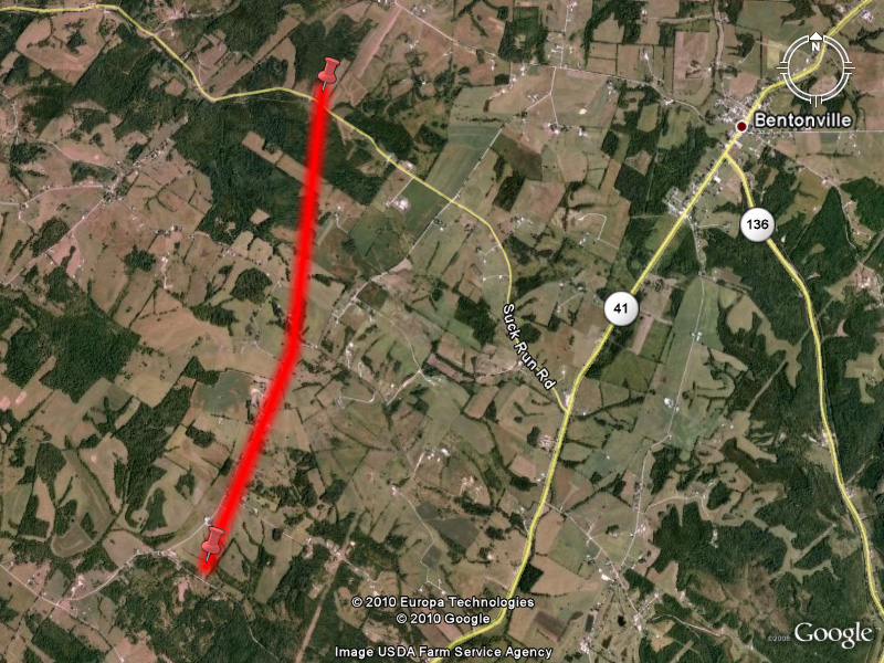
PATH LENGTH...2.6 MILES
The National Weather Service in Wilmington OH has confirmed a
tornado near Bentonville in Adams County of Ohio, on May 21, 2010.
Information from residents along Old Dutch Road revealed a fairly
continuous tornado track of 2.6 miles in Adams County. The tornado
initially touched down approximately 844 PM just north and east of
the intersection of Old Dutch Road and Gray Road (Township Highway 185).
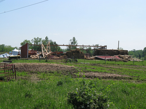
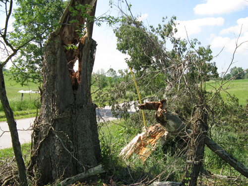
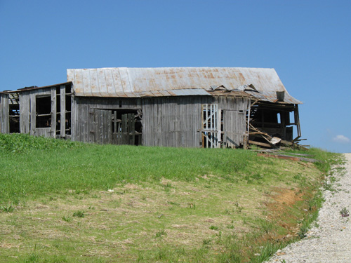
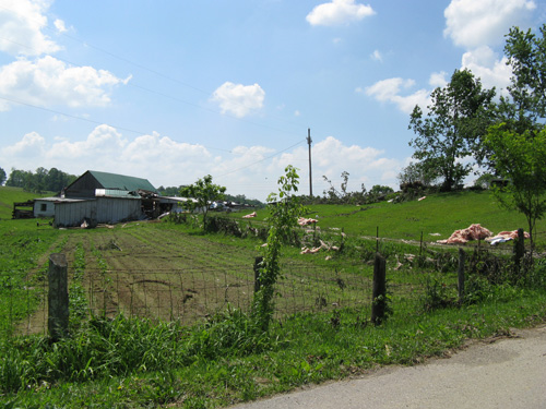
The tornado moved north along Old Dutch Road, heavily damaging several
well constructed barns and outbuildings. Mature, healthy trees were
snapped at the trunk along this path. The tornado crossed Stanfield Road
(Township Highway 326) and apparently crossed Old Dutch Road near its
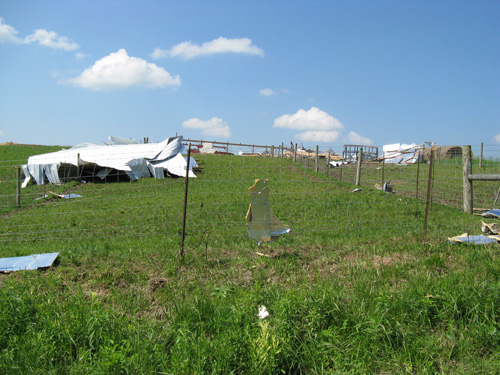
intersection with Clayton Pike (County Road 3). Along this stretch, the
tornado caused significant tree damage, minor damage to homes, and the
significant damage to numerous barns and outbuildings mentioned above.
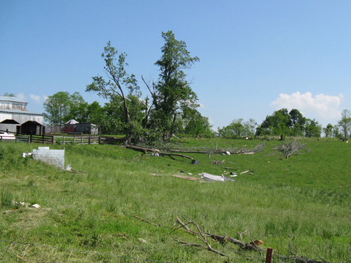
More trees were toppled as the tornado crossed Clayton Pike again, west
of Old Dutch Road. At this point it appears the tornado began to intermittently
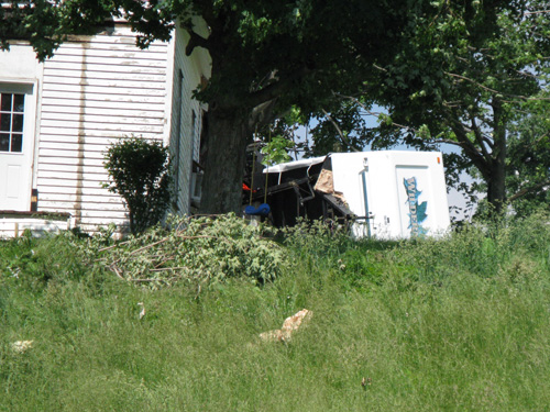
lift, with the next reportable damage on neighboring Suck Run Road. Damage
here was limited to windows being blown out of a home, and significant tree
damage strewn about the property in various orientations. This is corroborated
by several reports of a tornado touchdown in this area, and a strong radar
signature of circulation. The damage to barns and trees is consistent with
the upper limits of EF1 wind speeds (about 110 MPH).
|