|
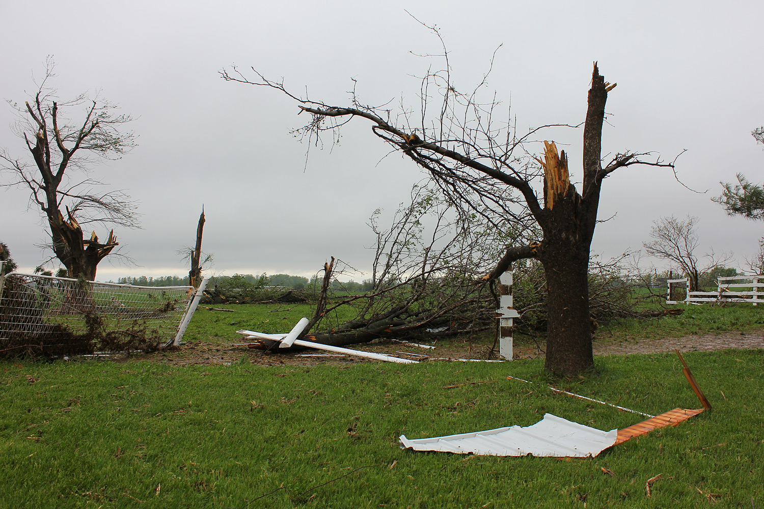
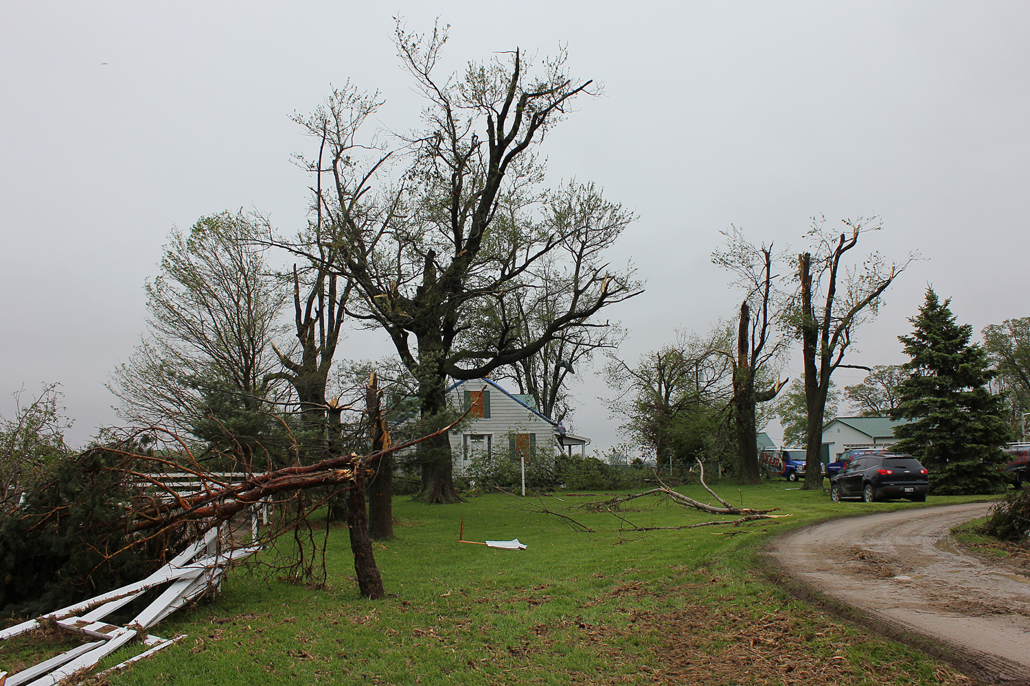
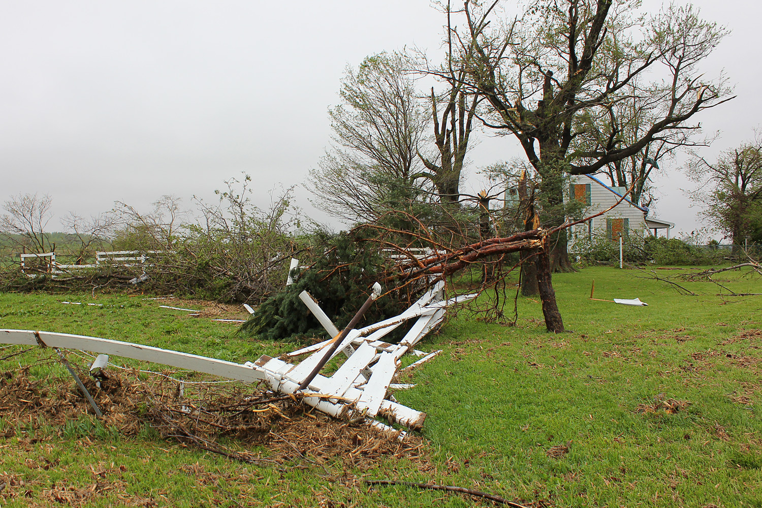
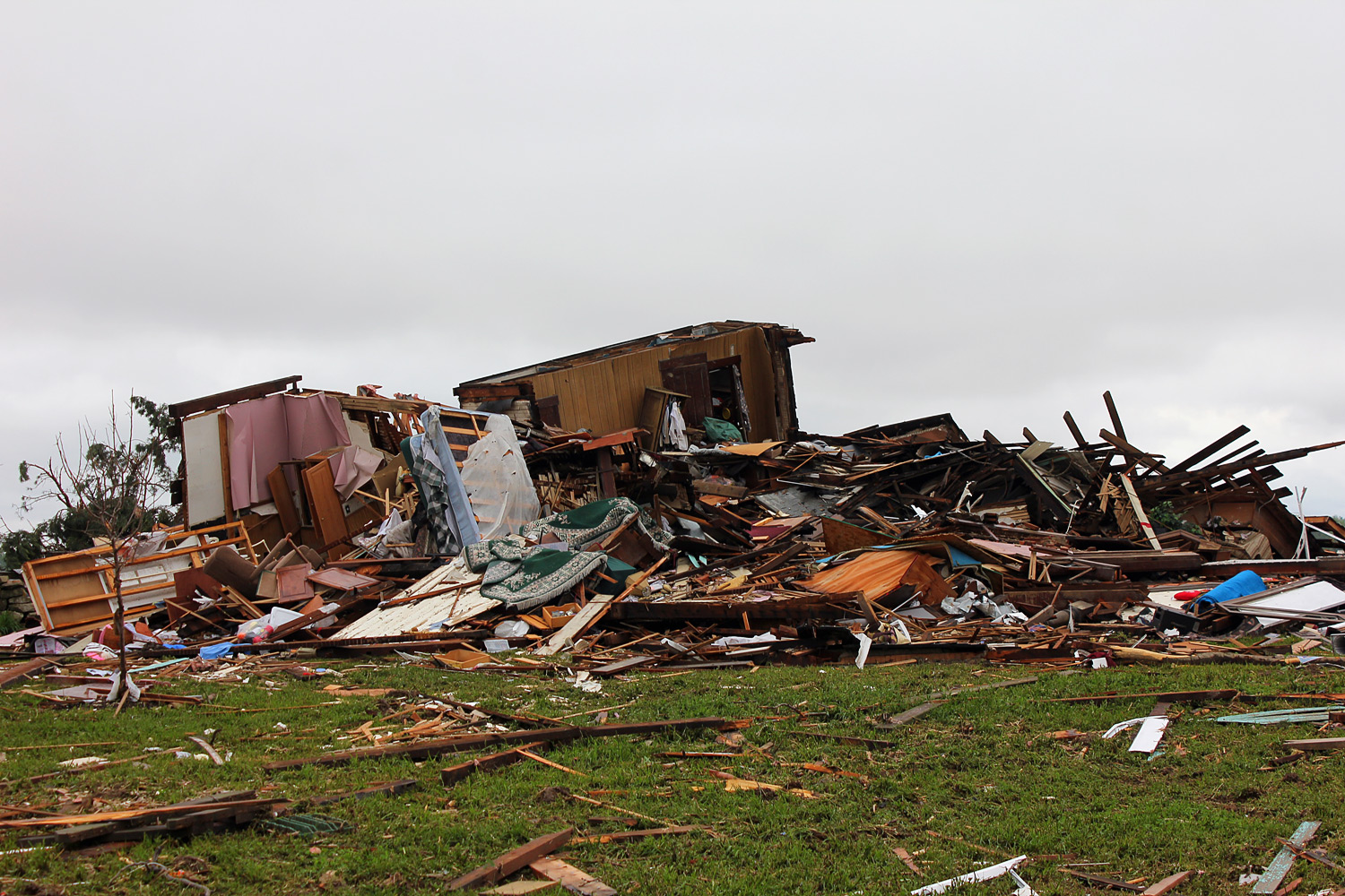
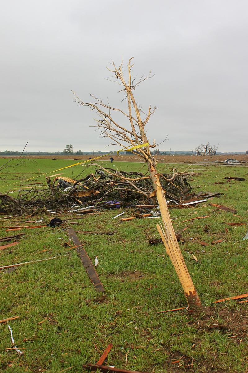
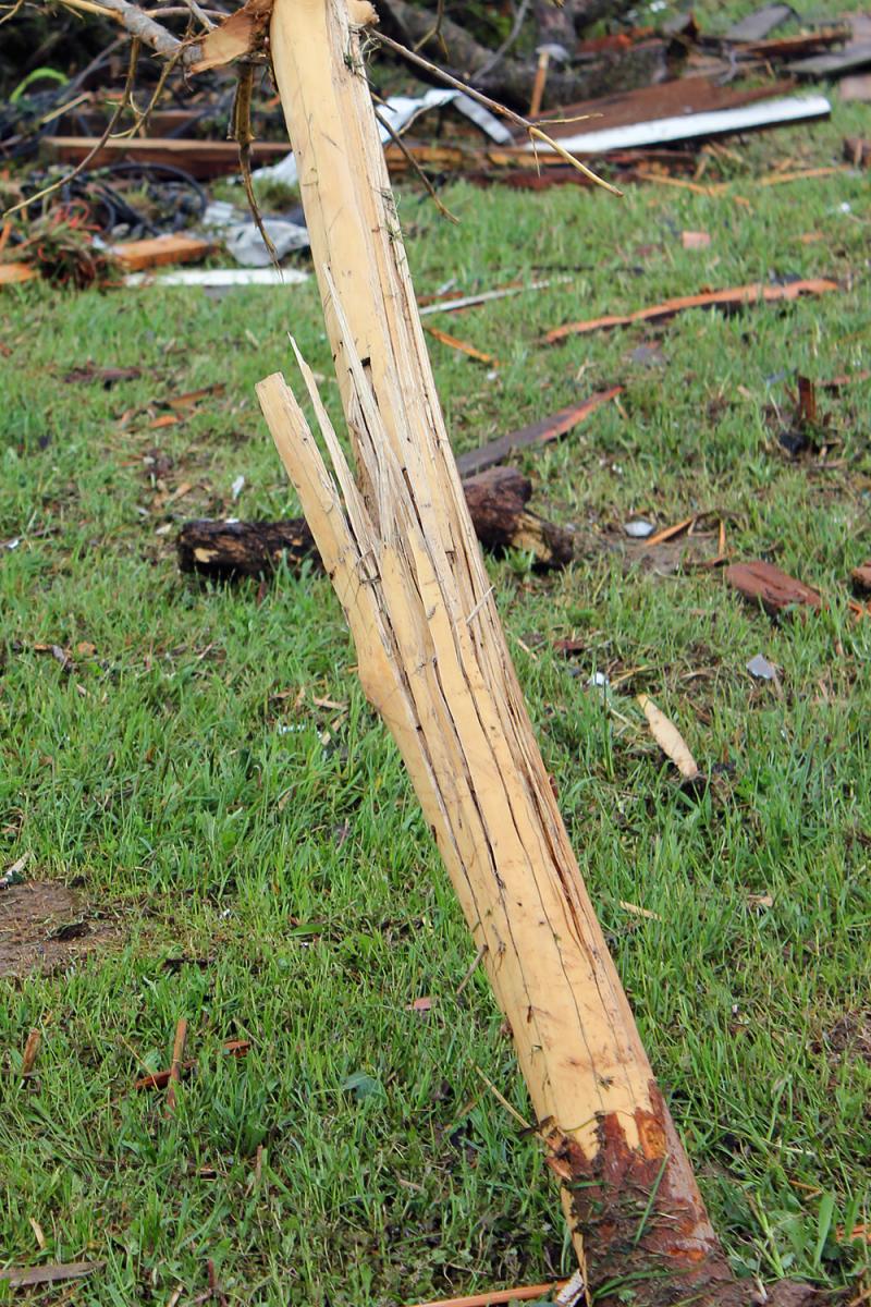
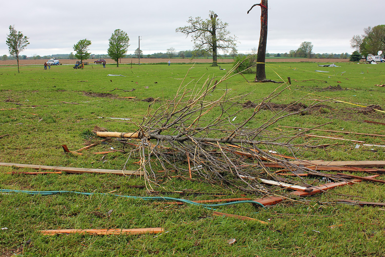
Pictures from the Cedarville Tornado |
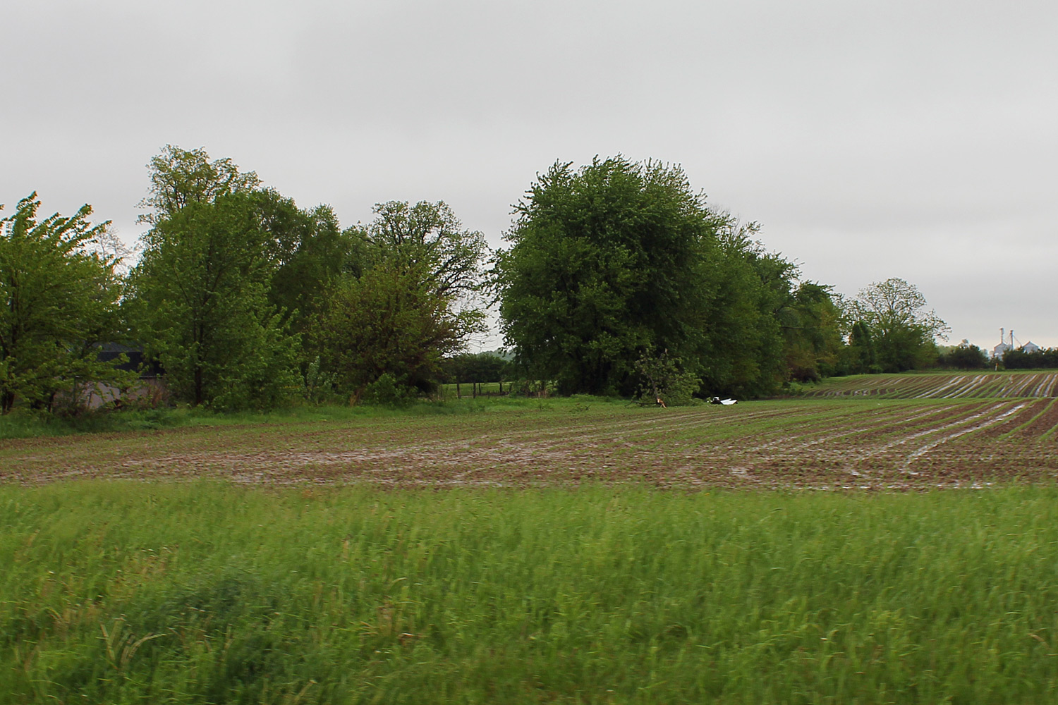
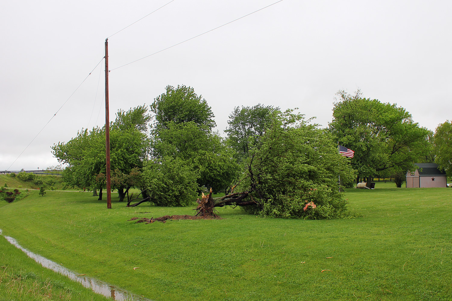
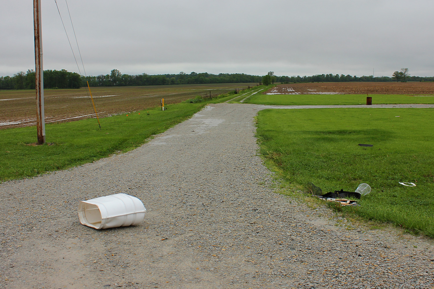
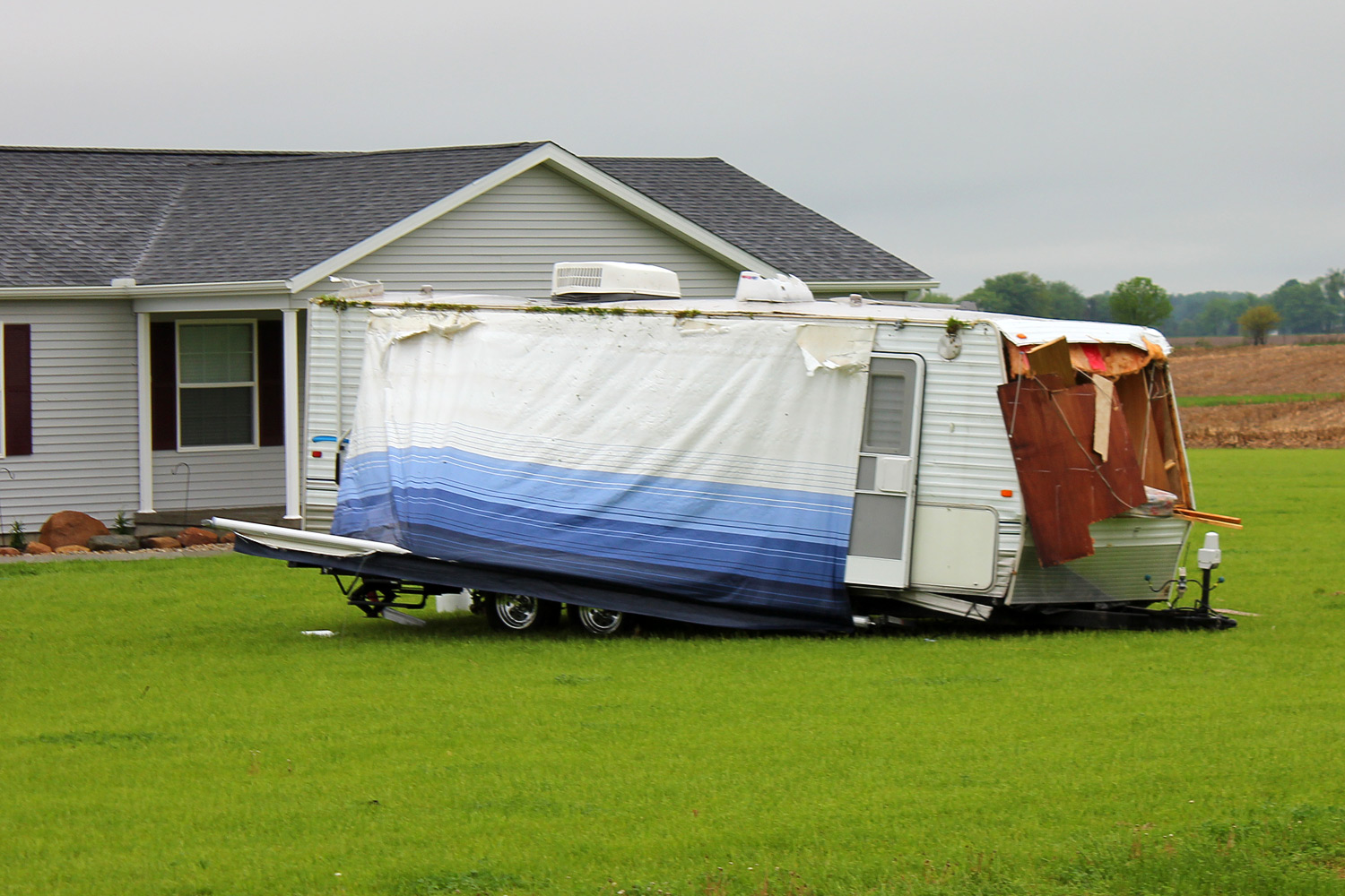
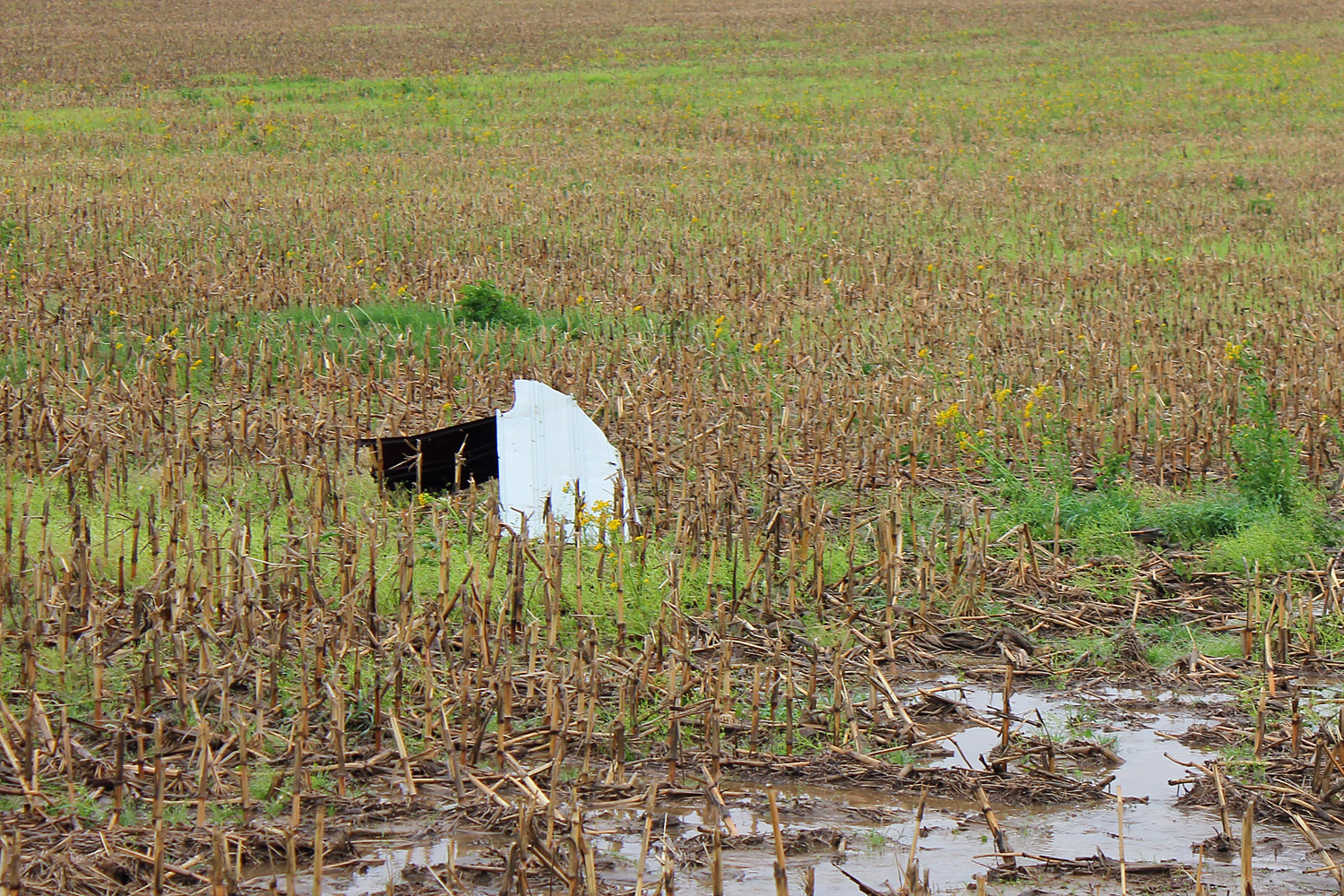
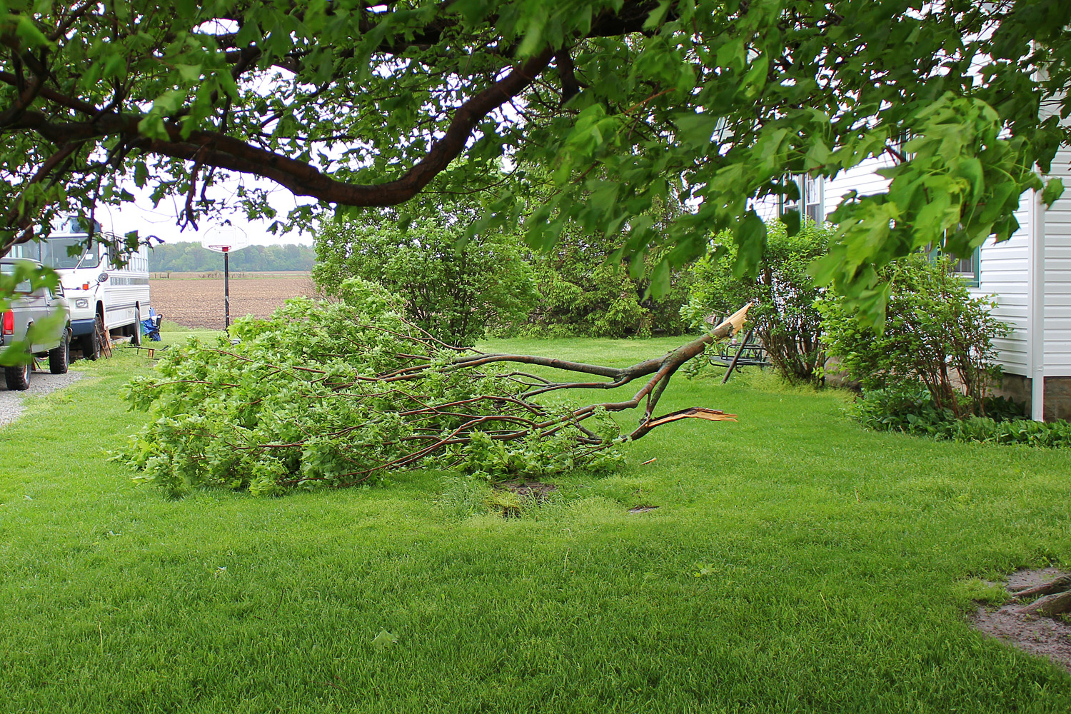
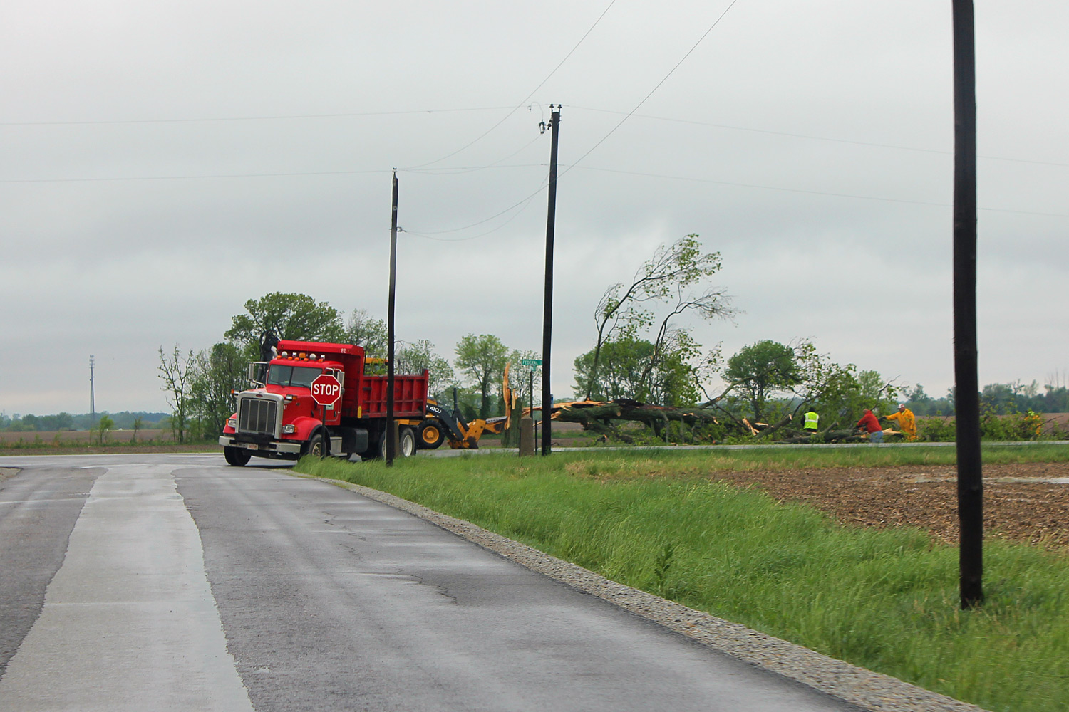
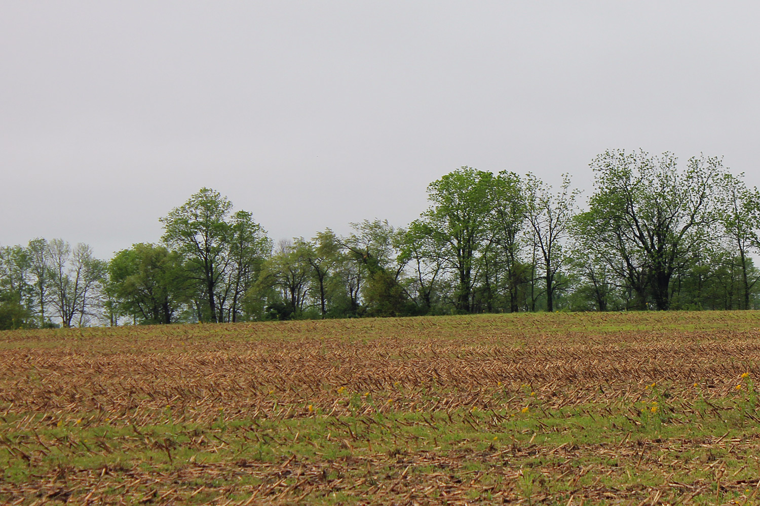
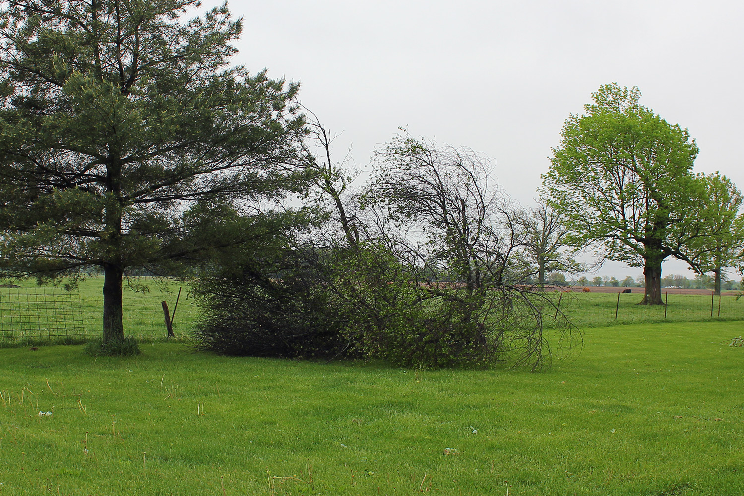
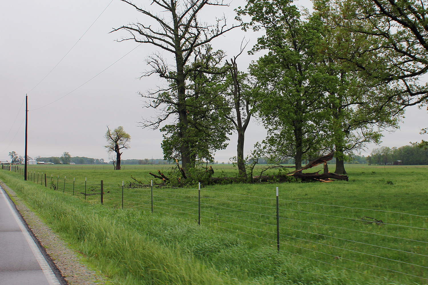
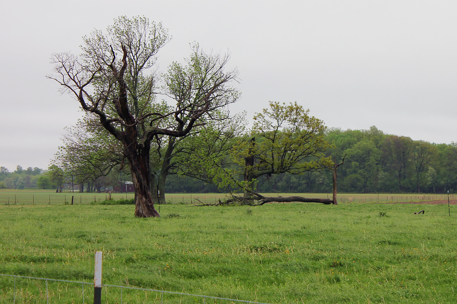
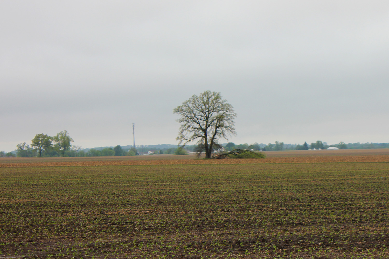
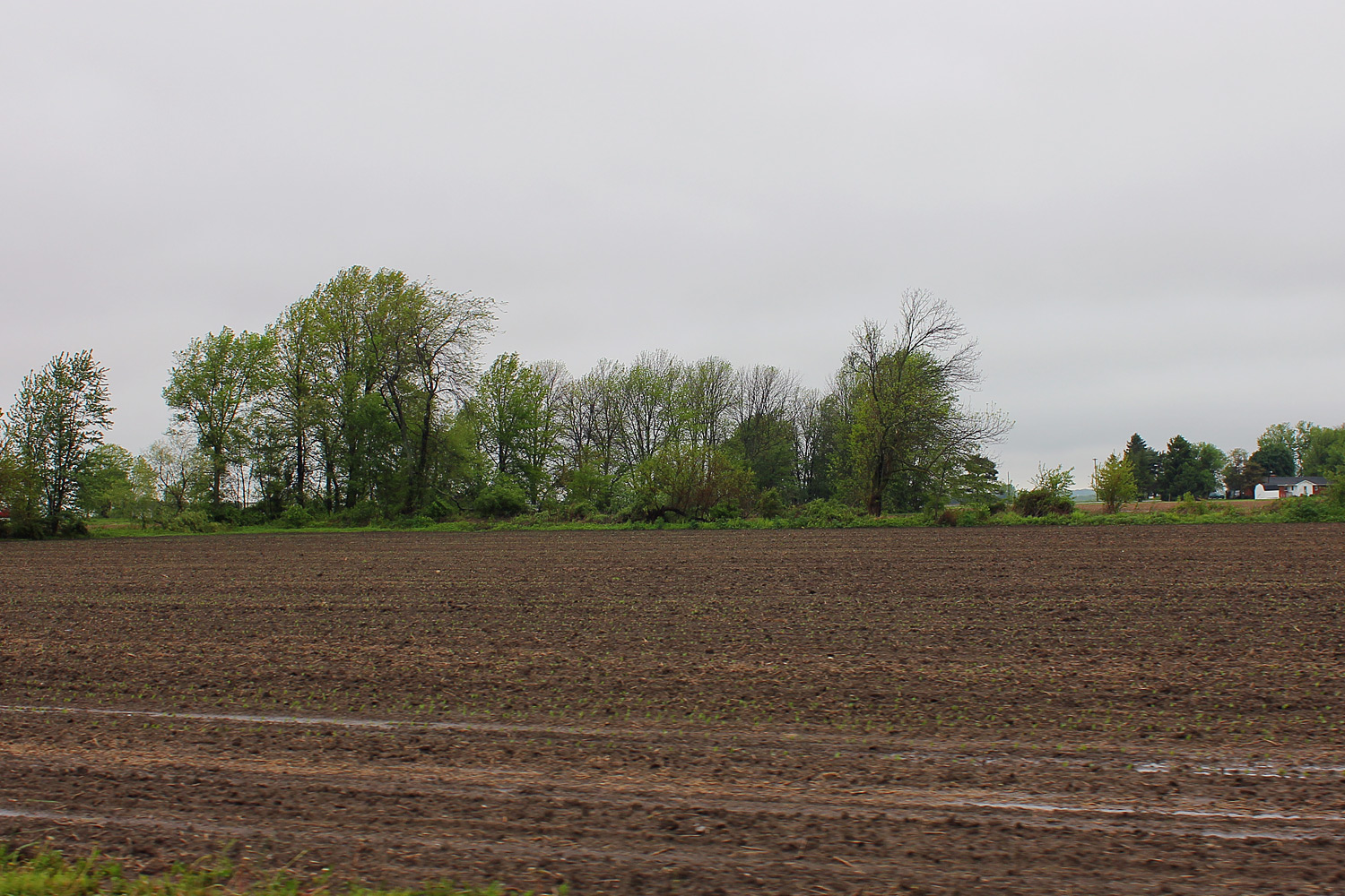
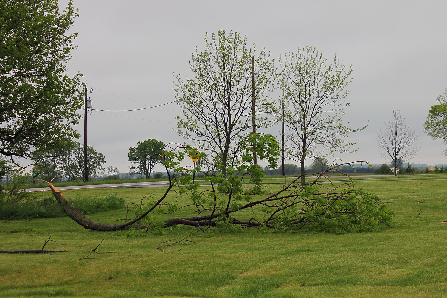
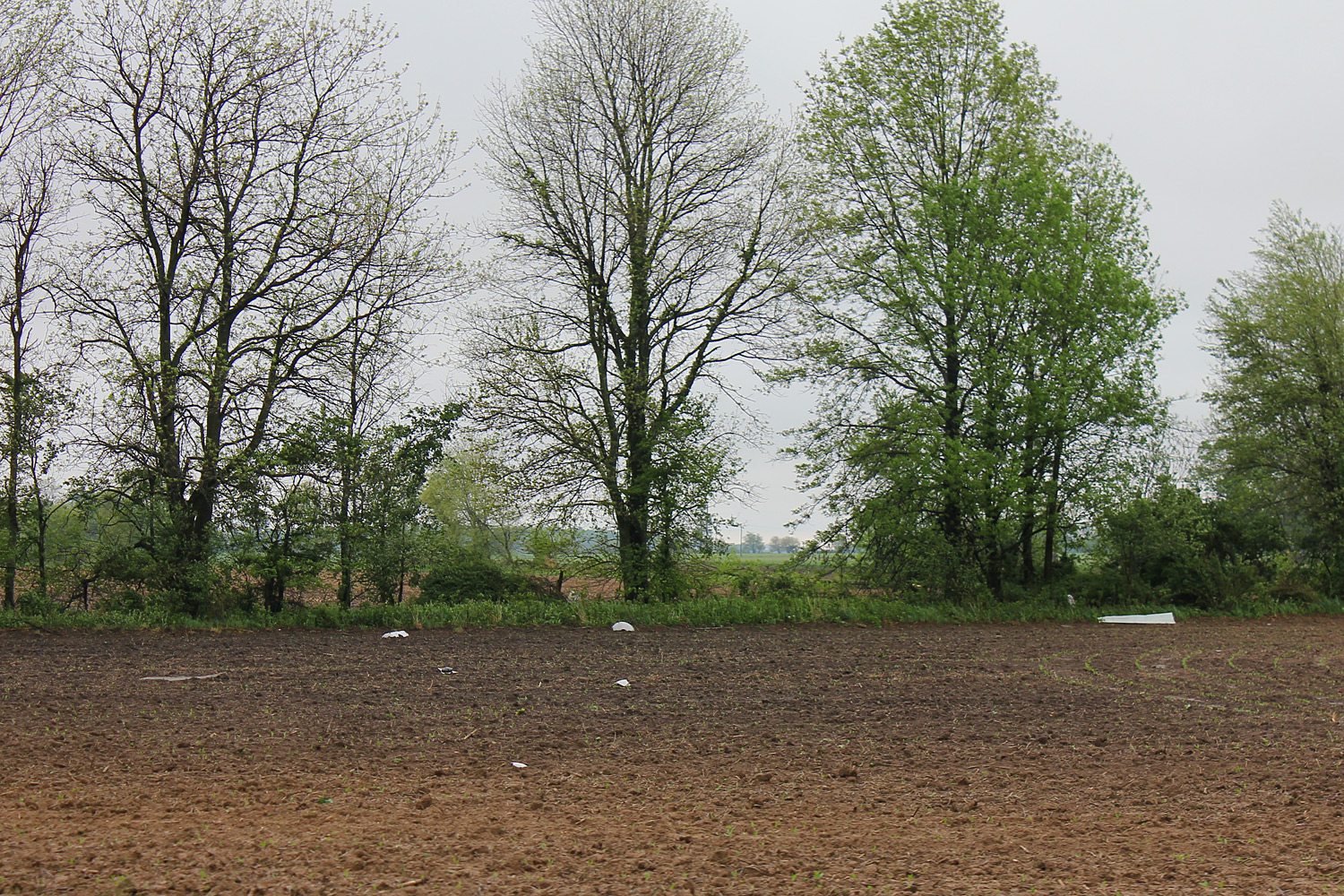
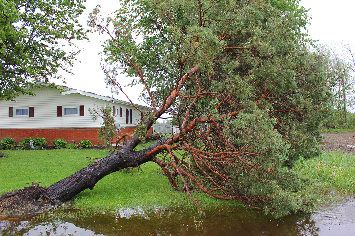
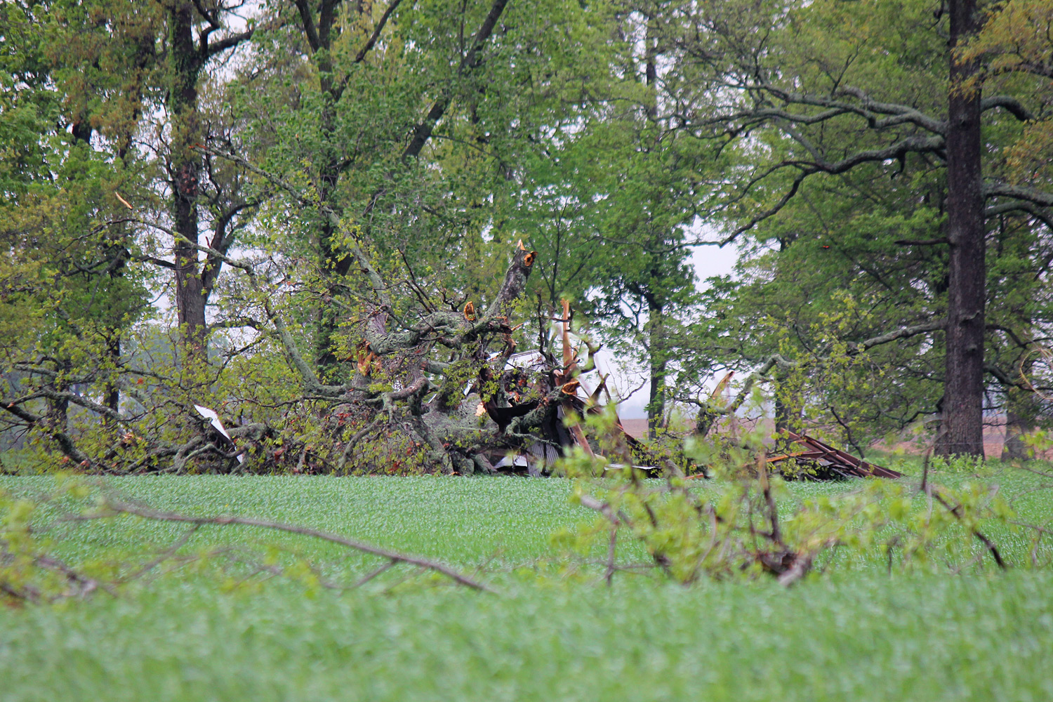
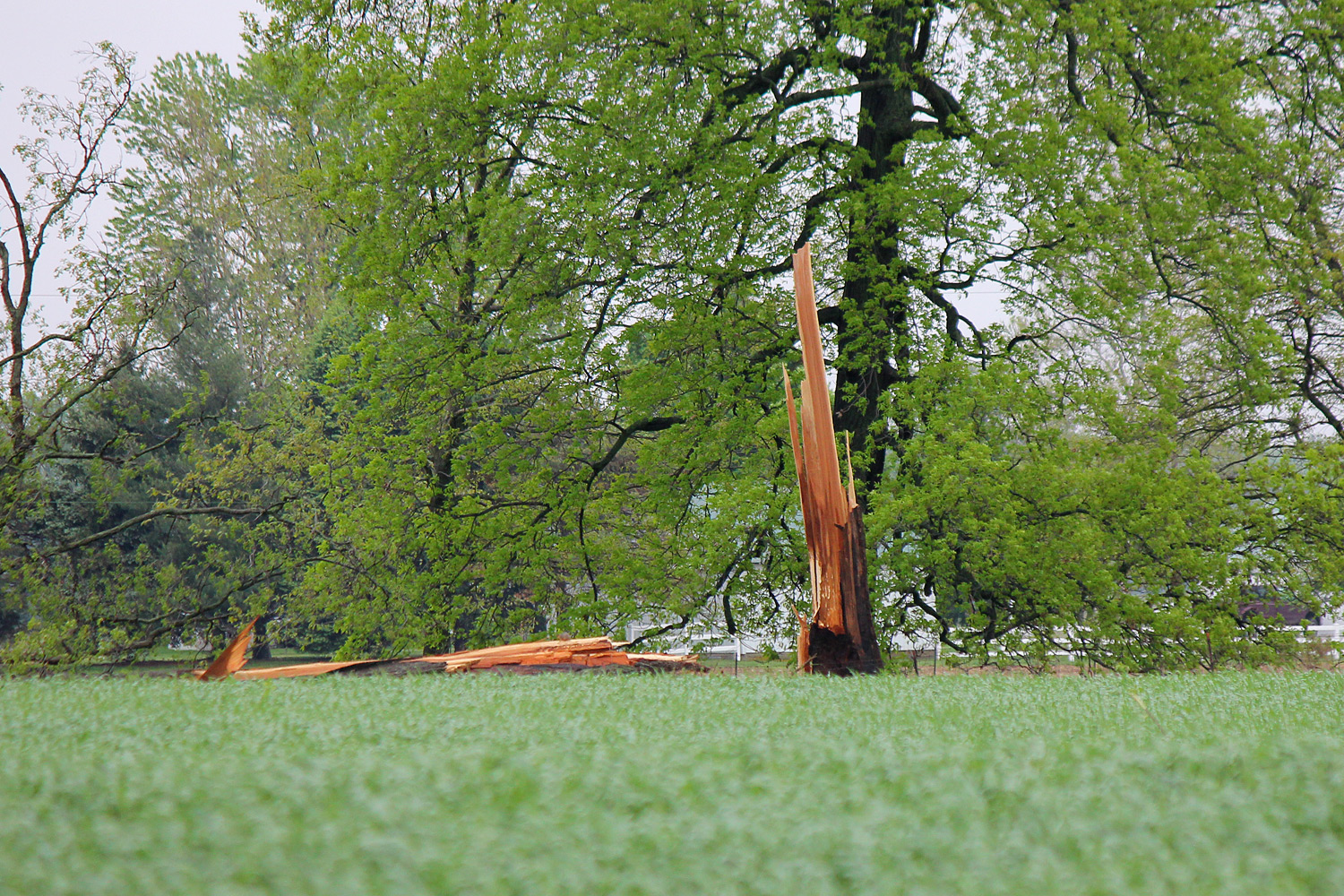
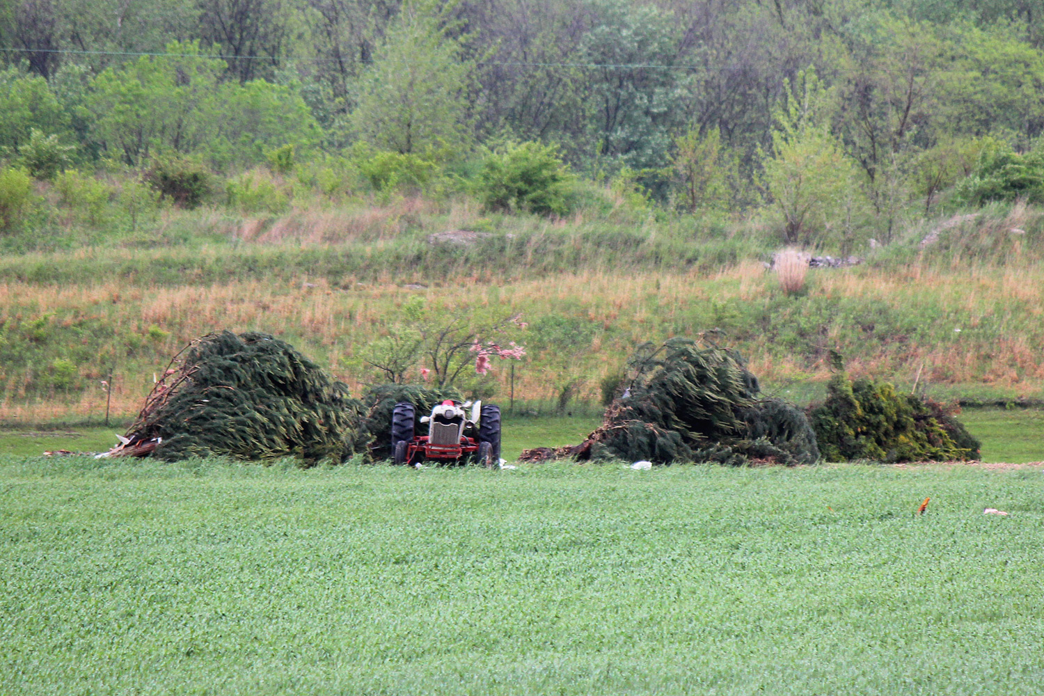
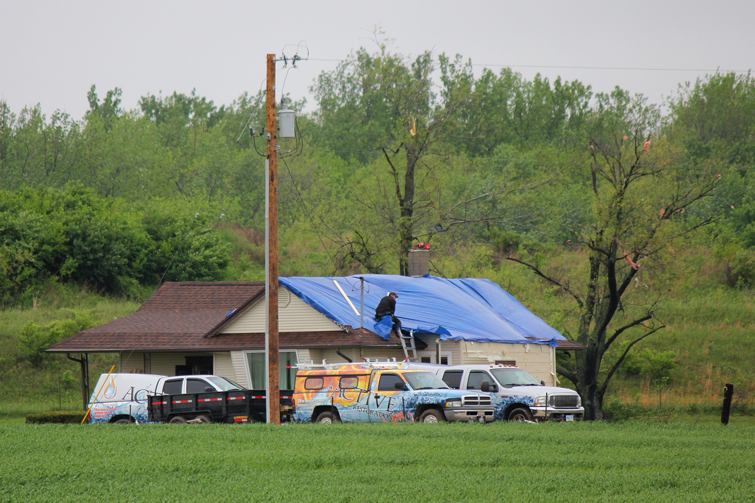
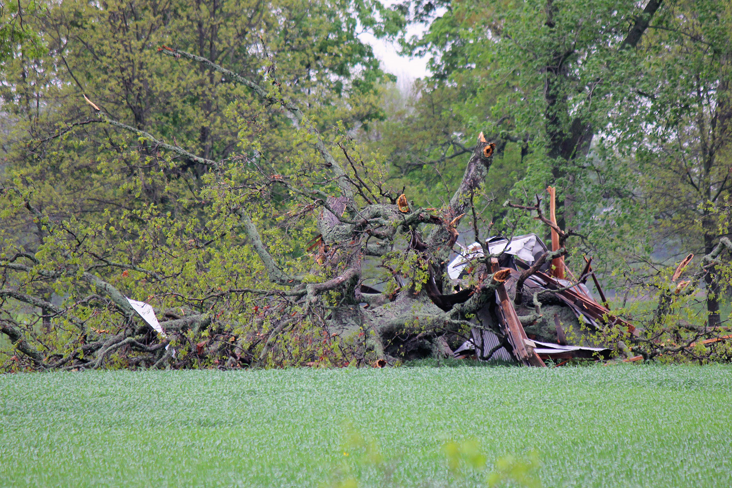
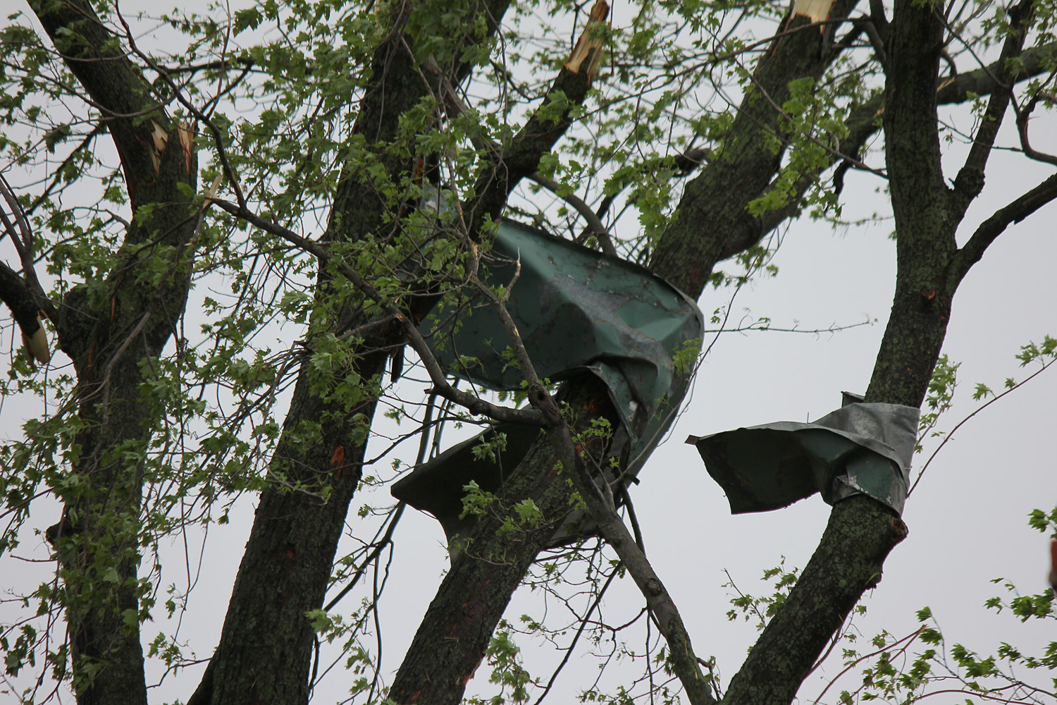
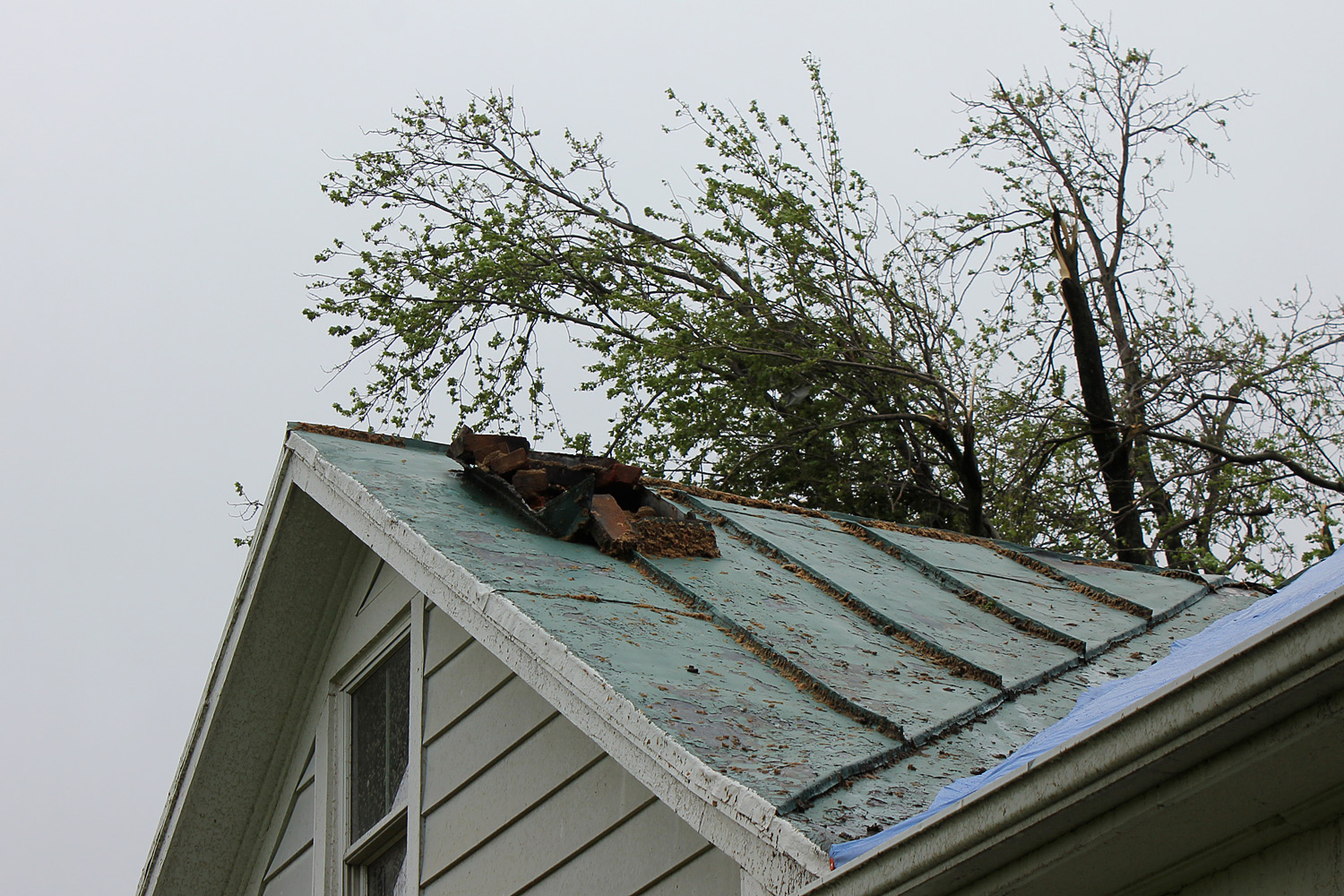
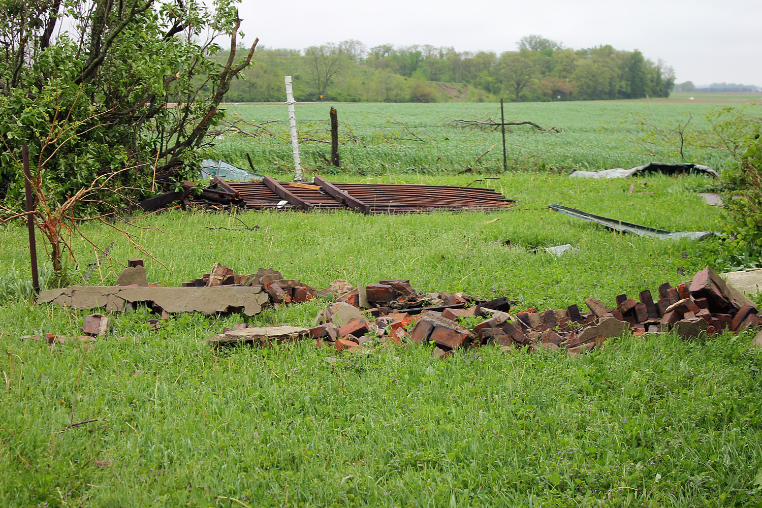
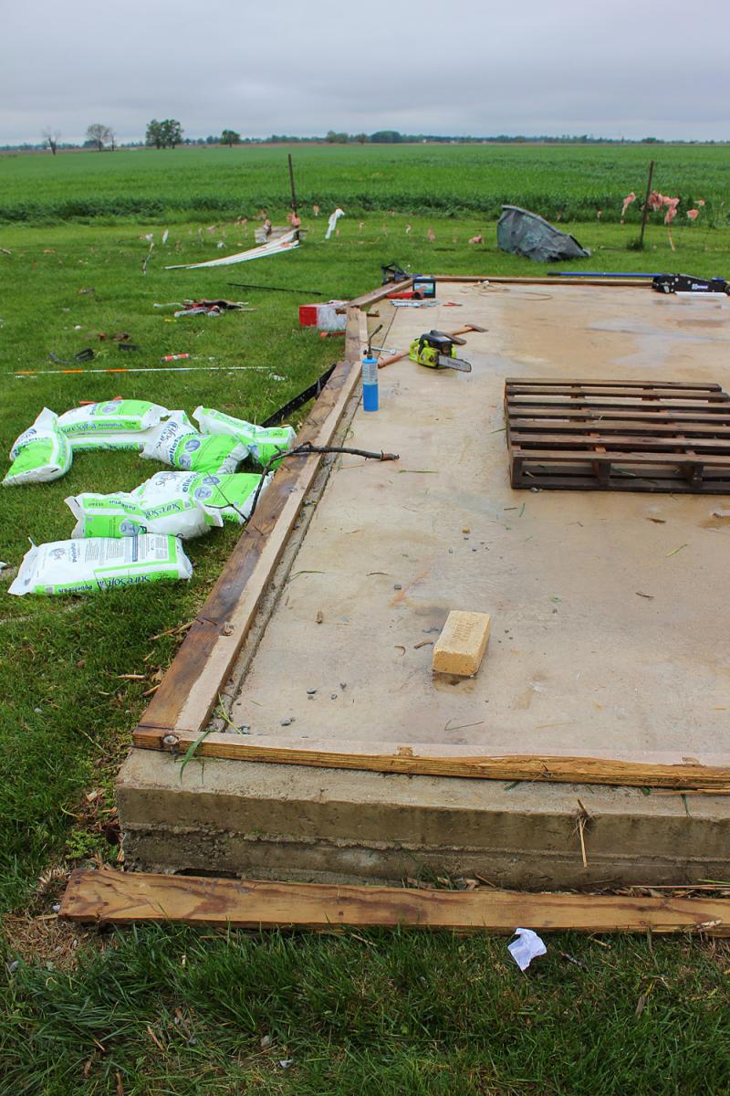
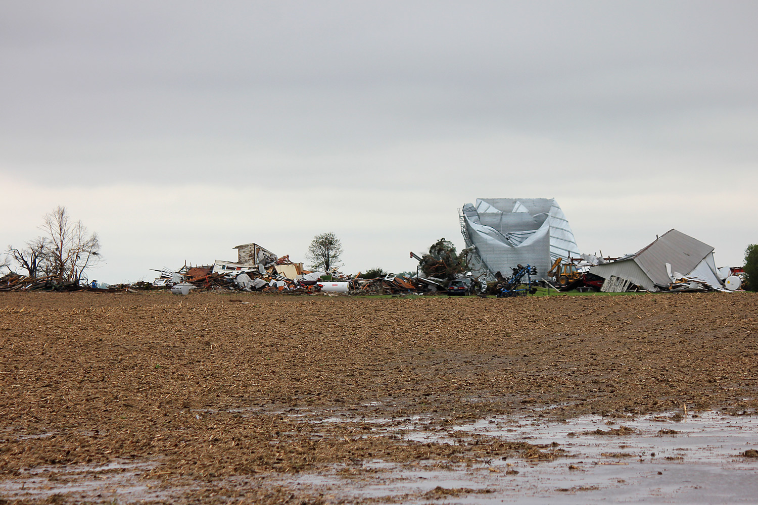
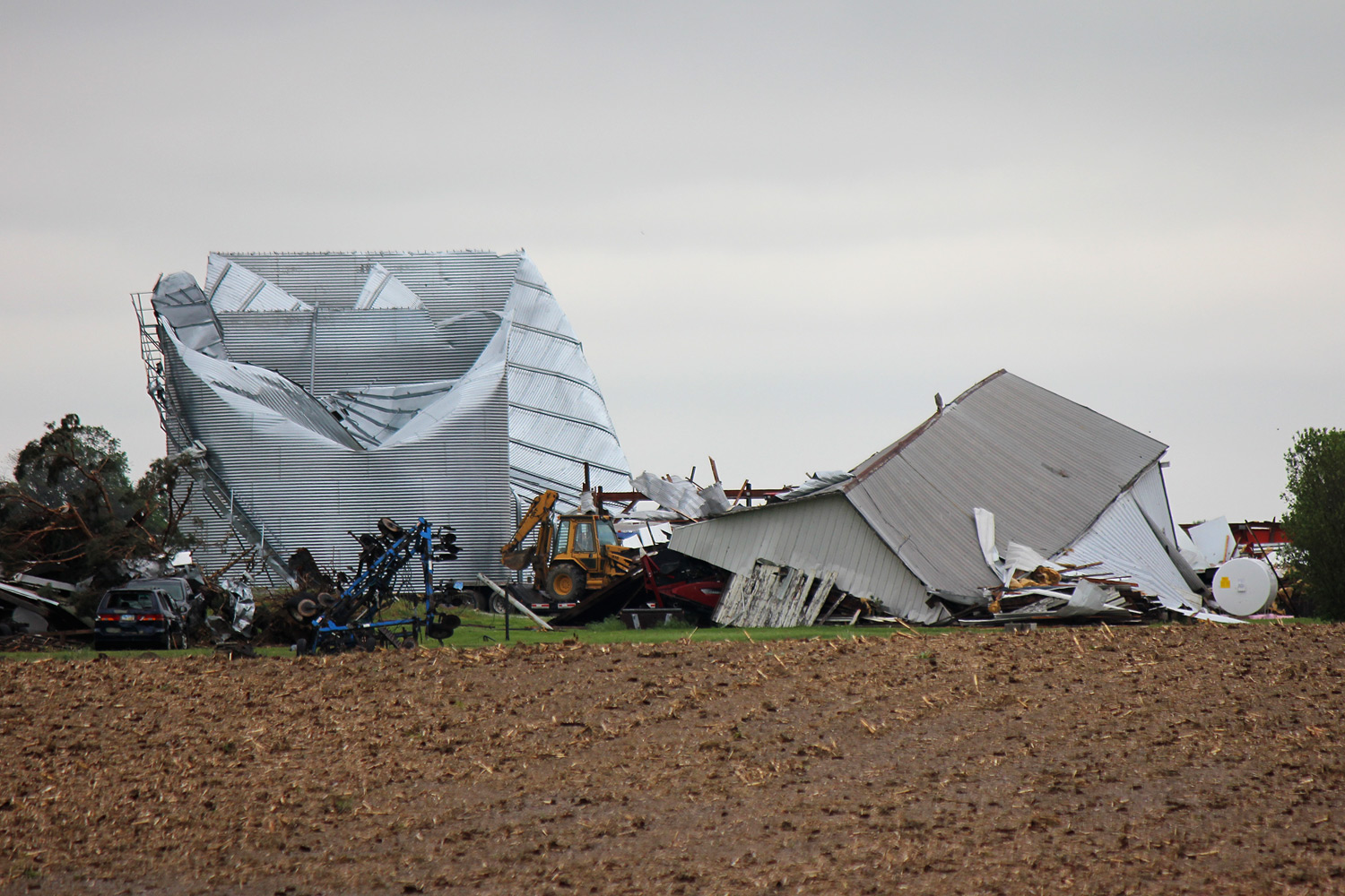
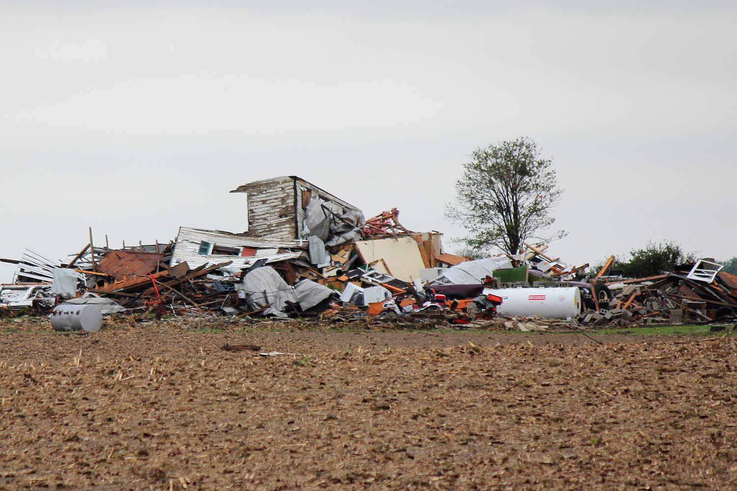
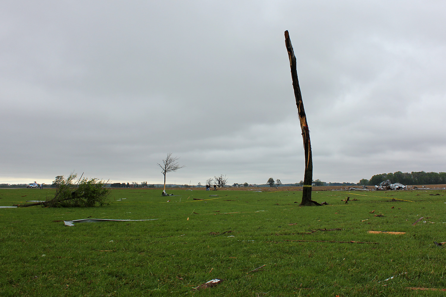
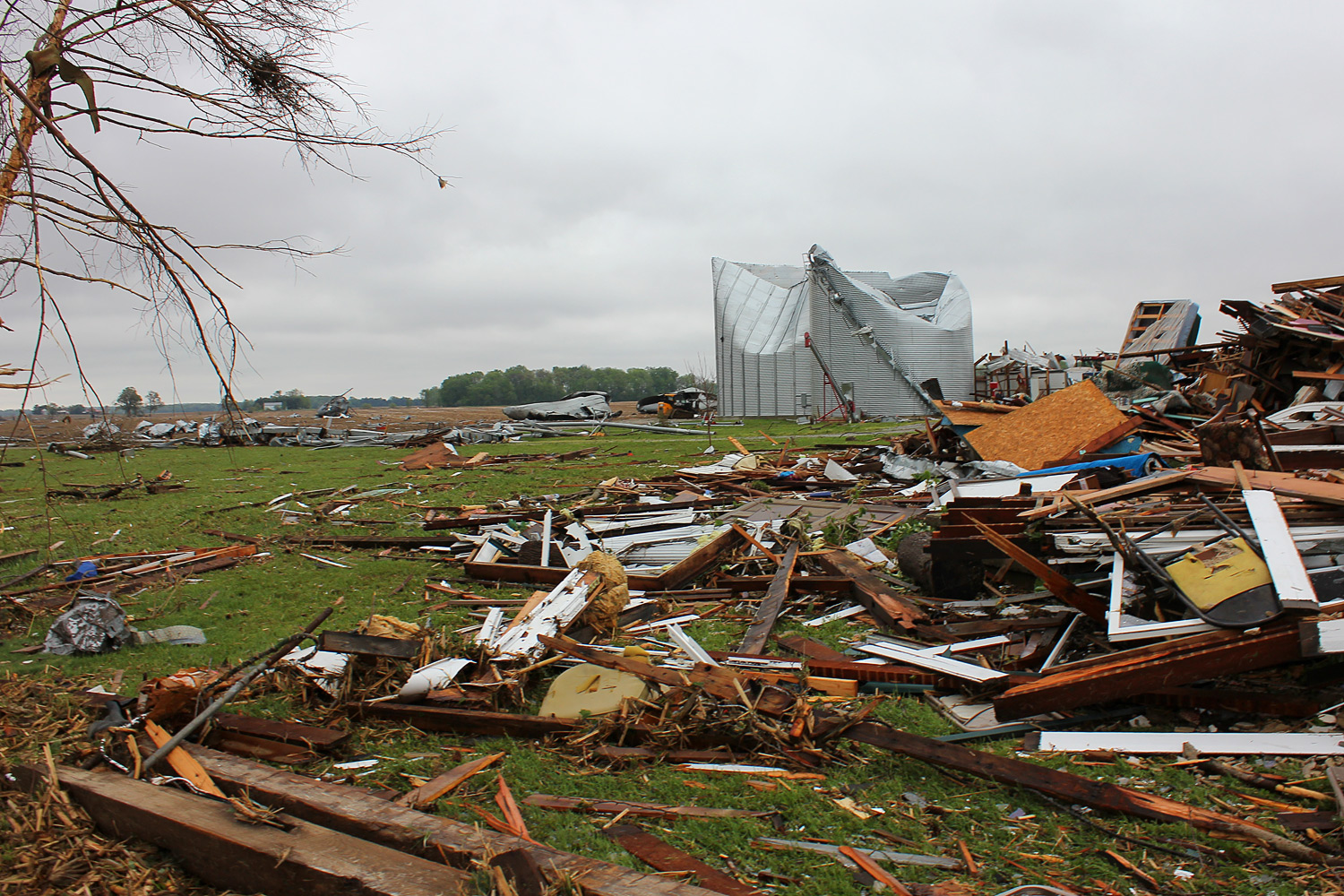
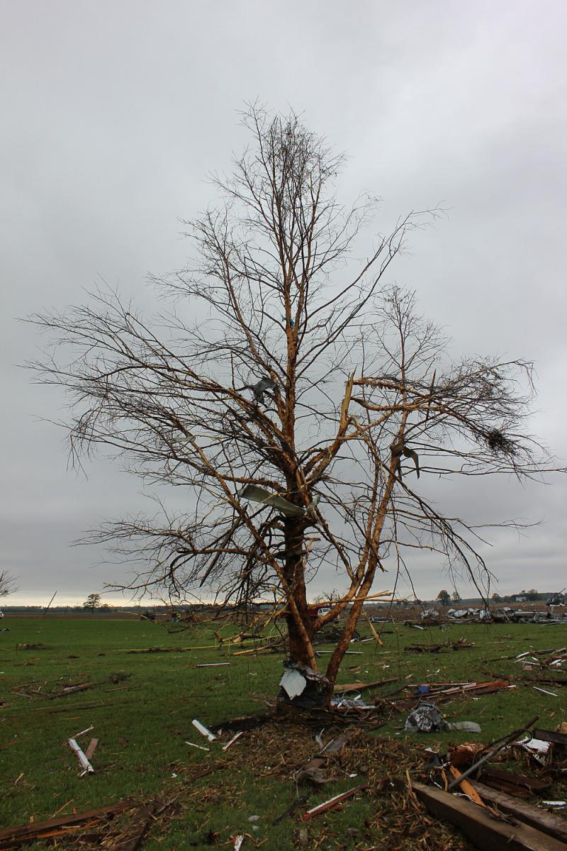
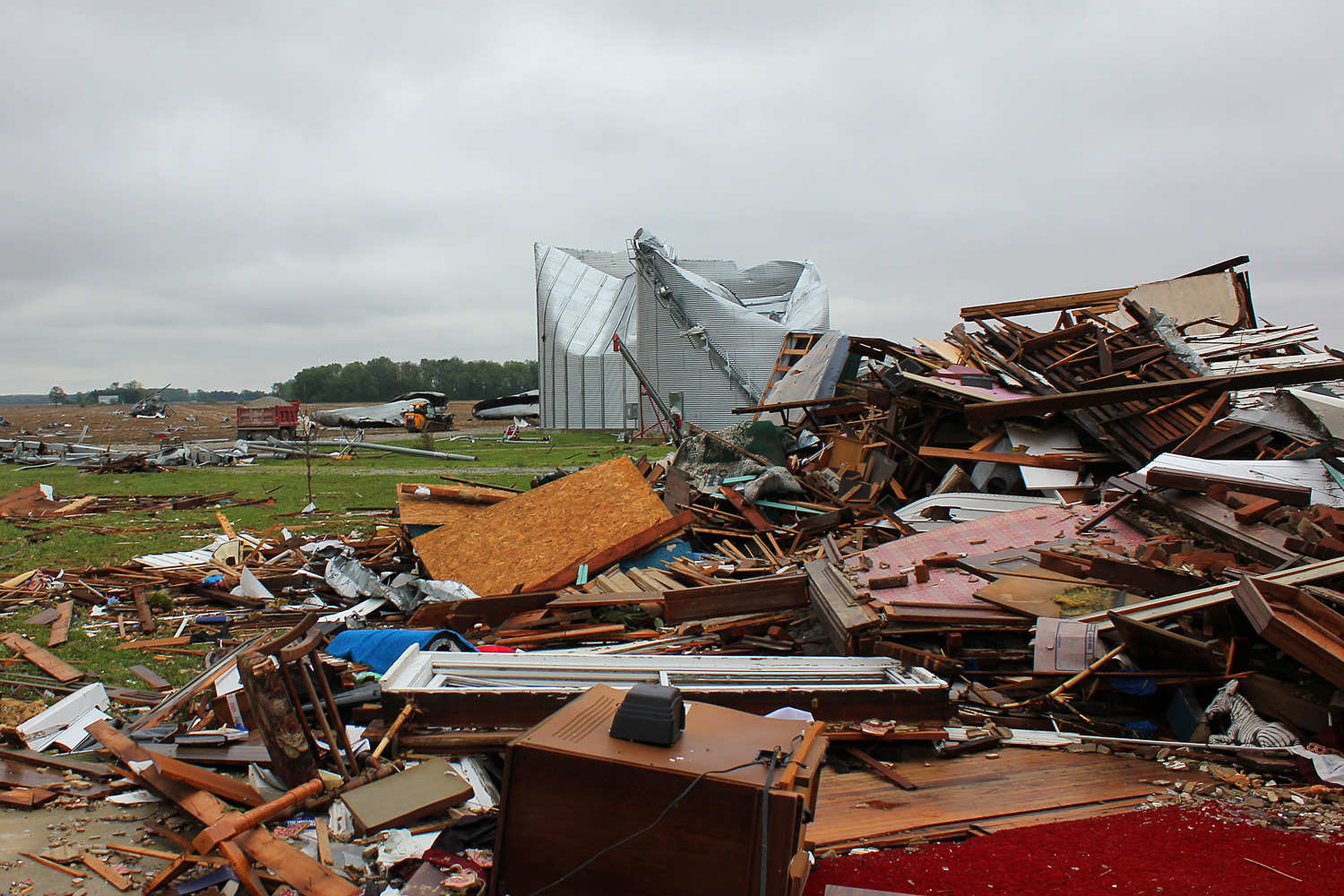
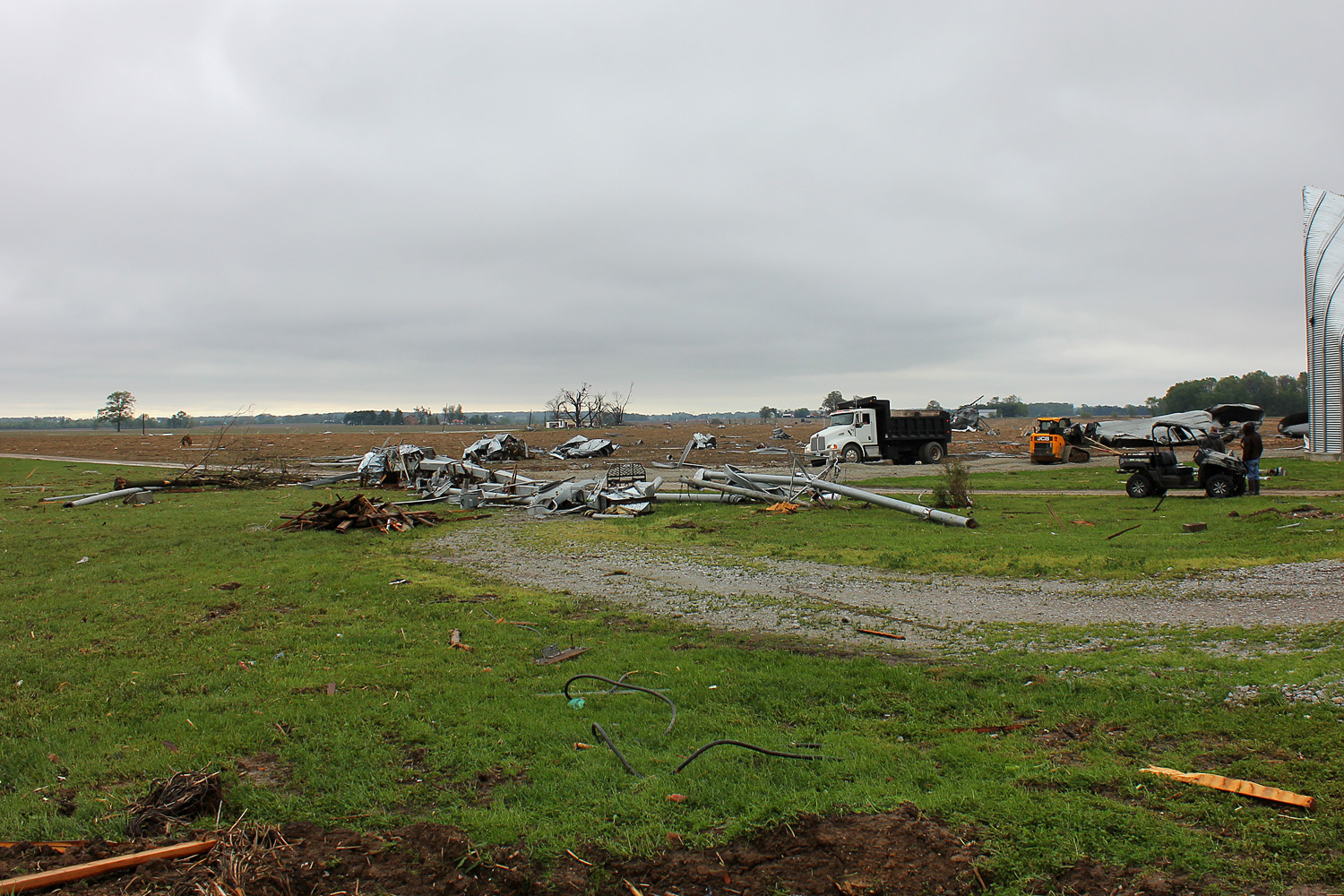
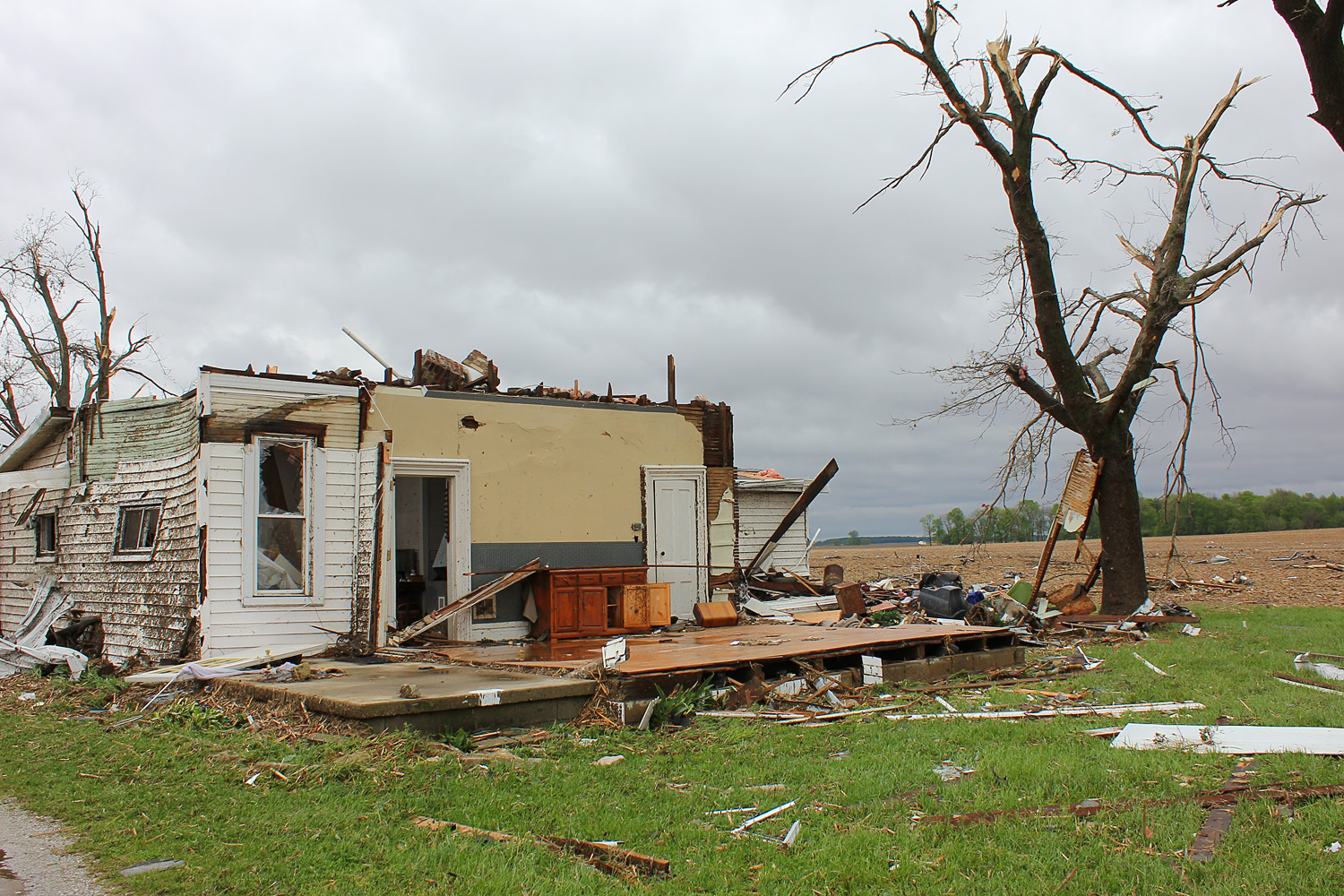
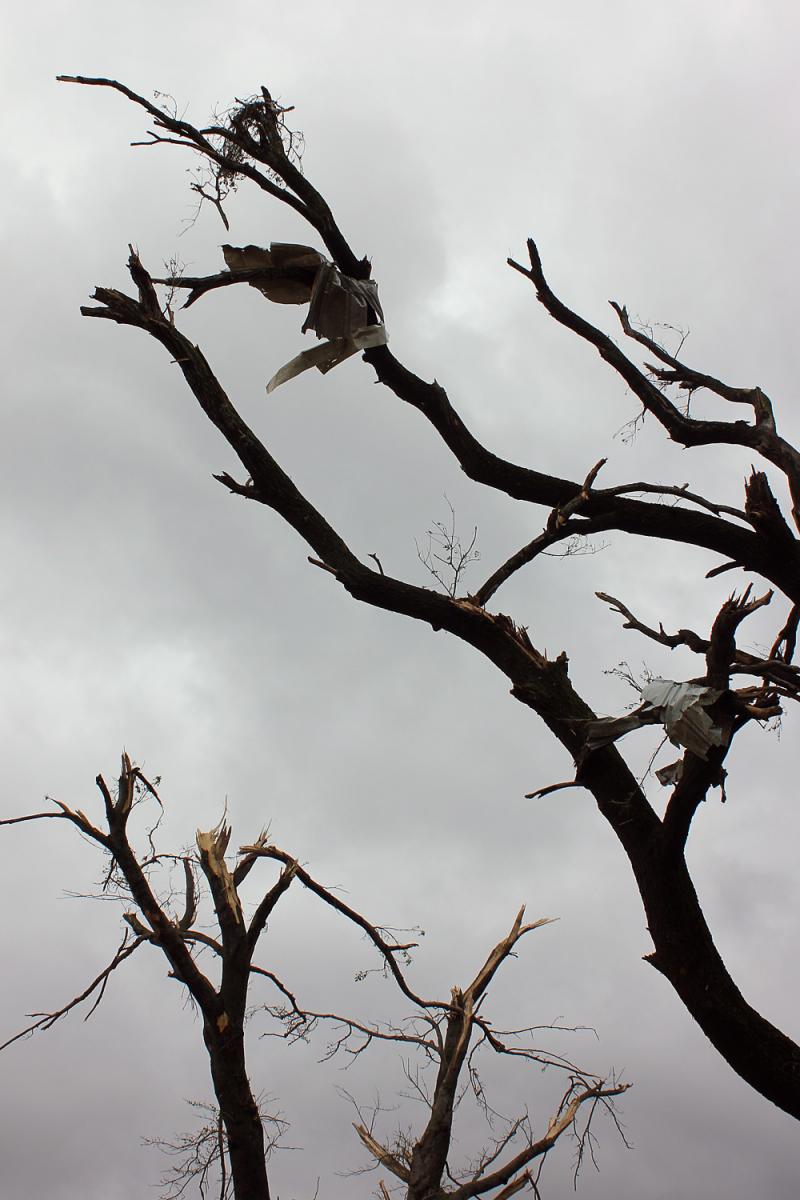
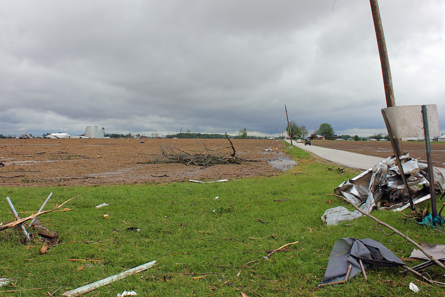
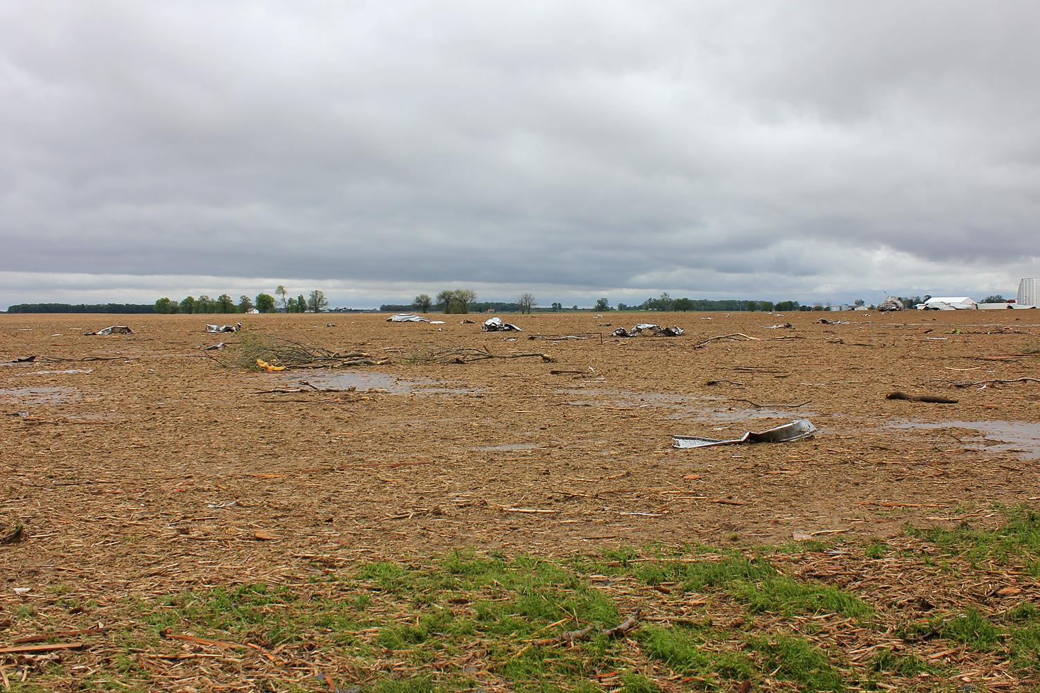
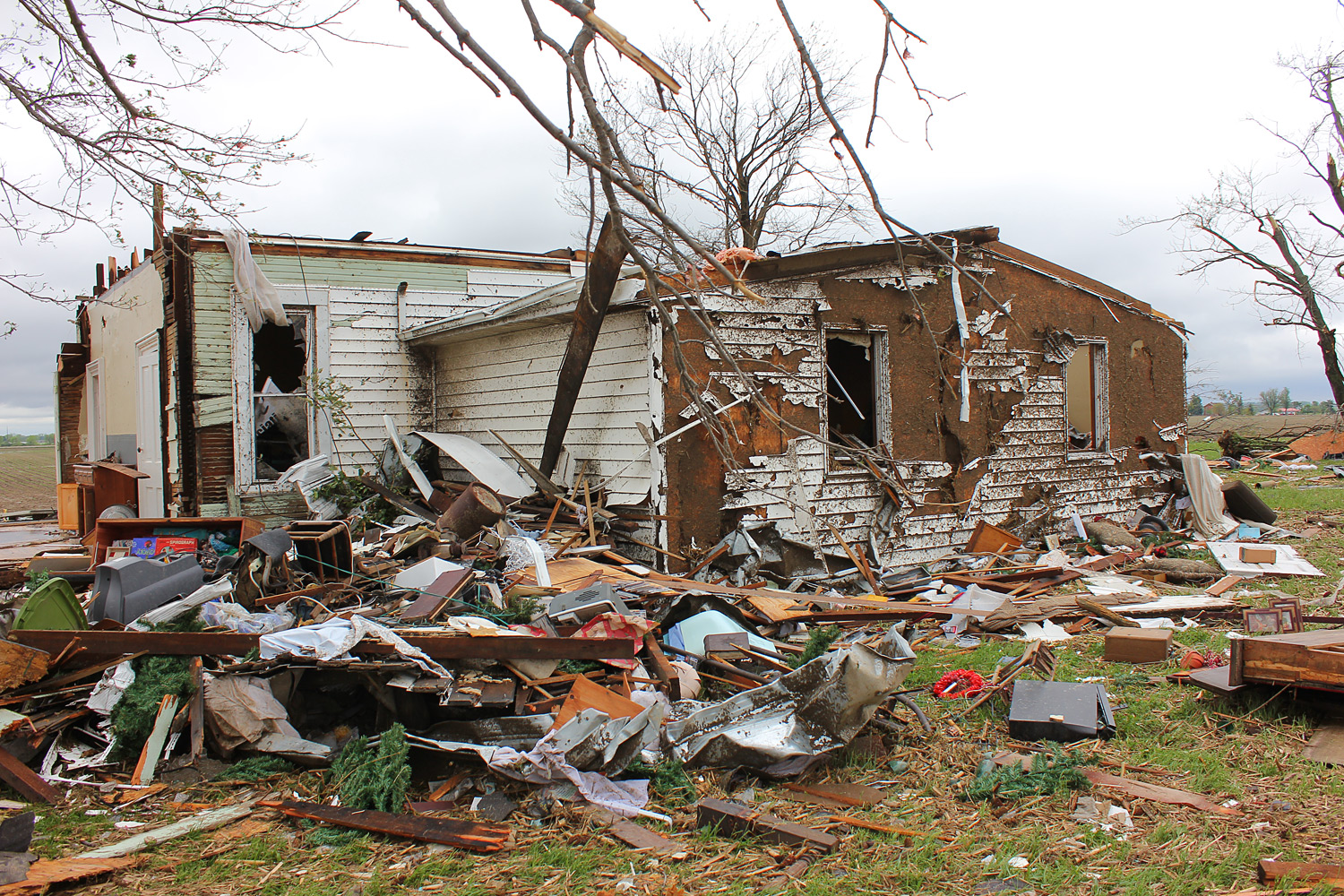
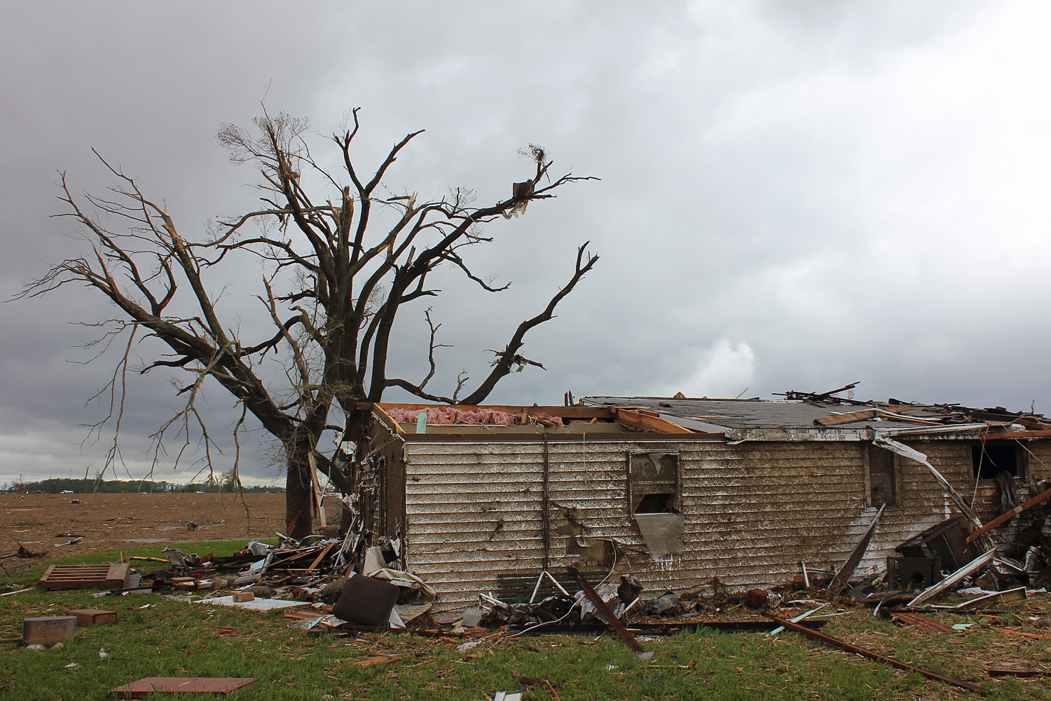
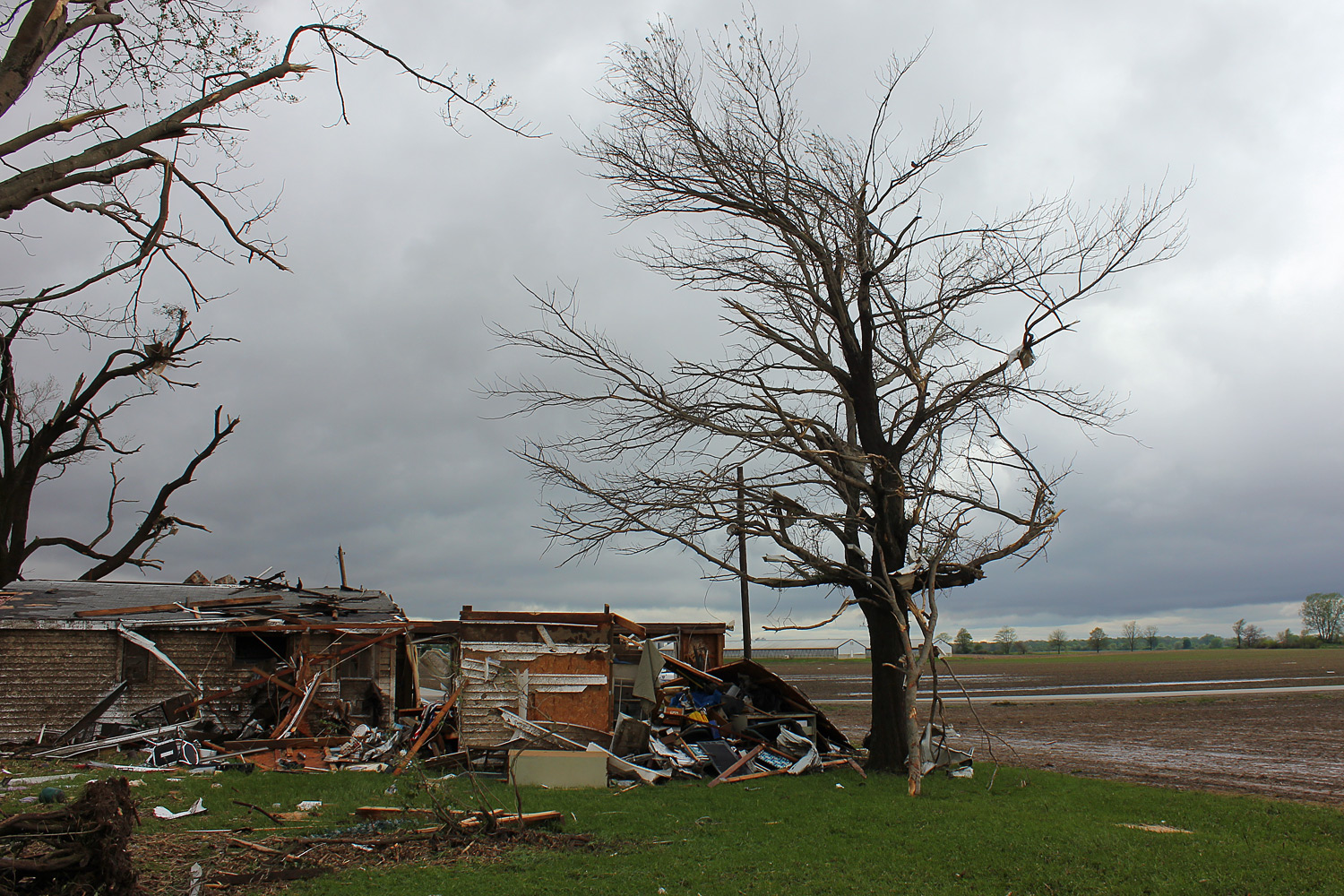
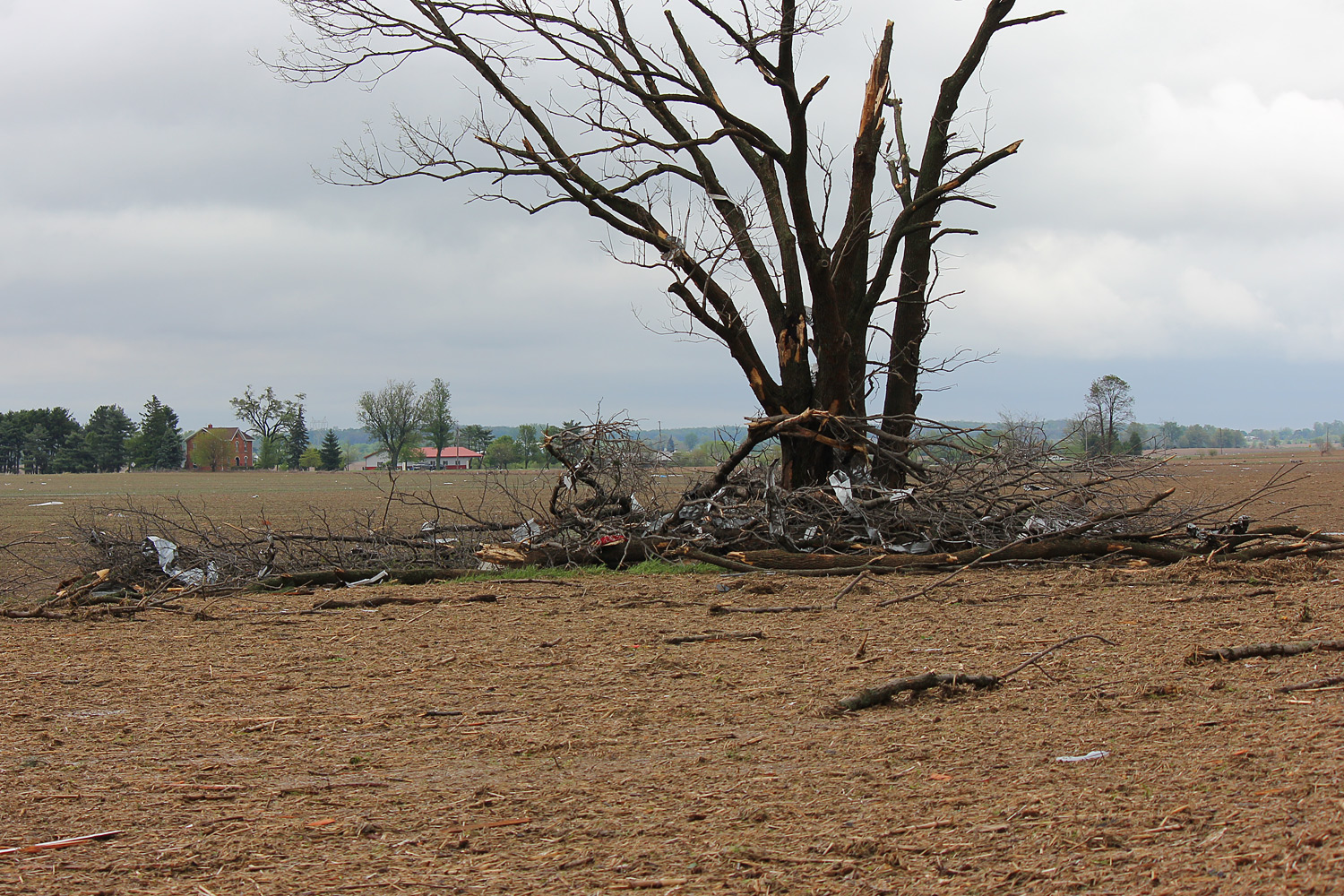
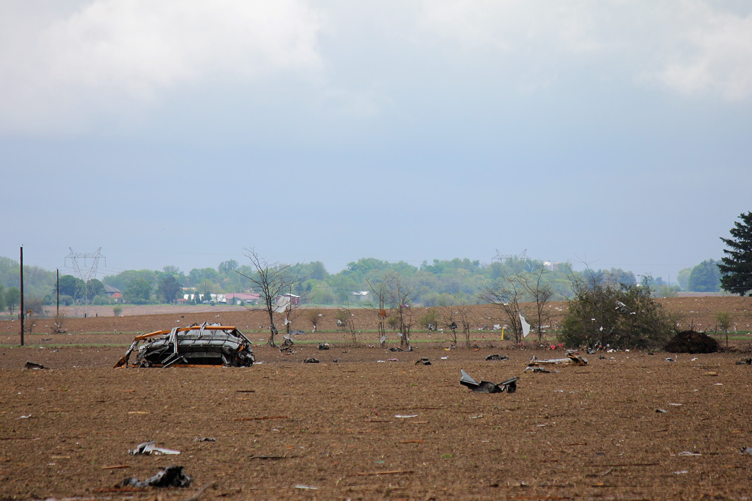
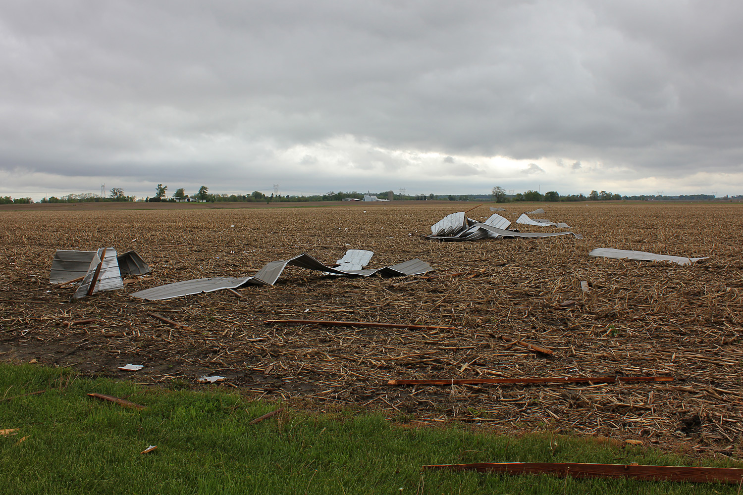
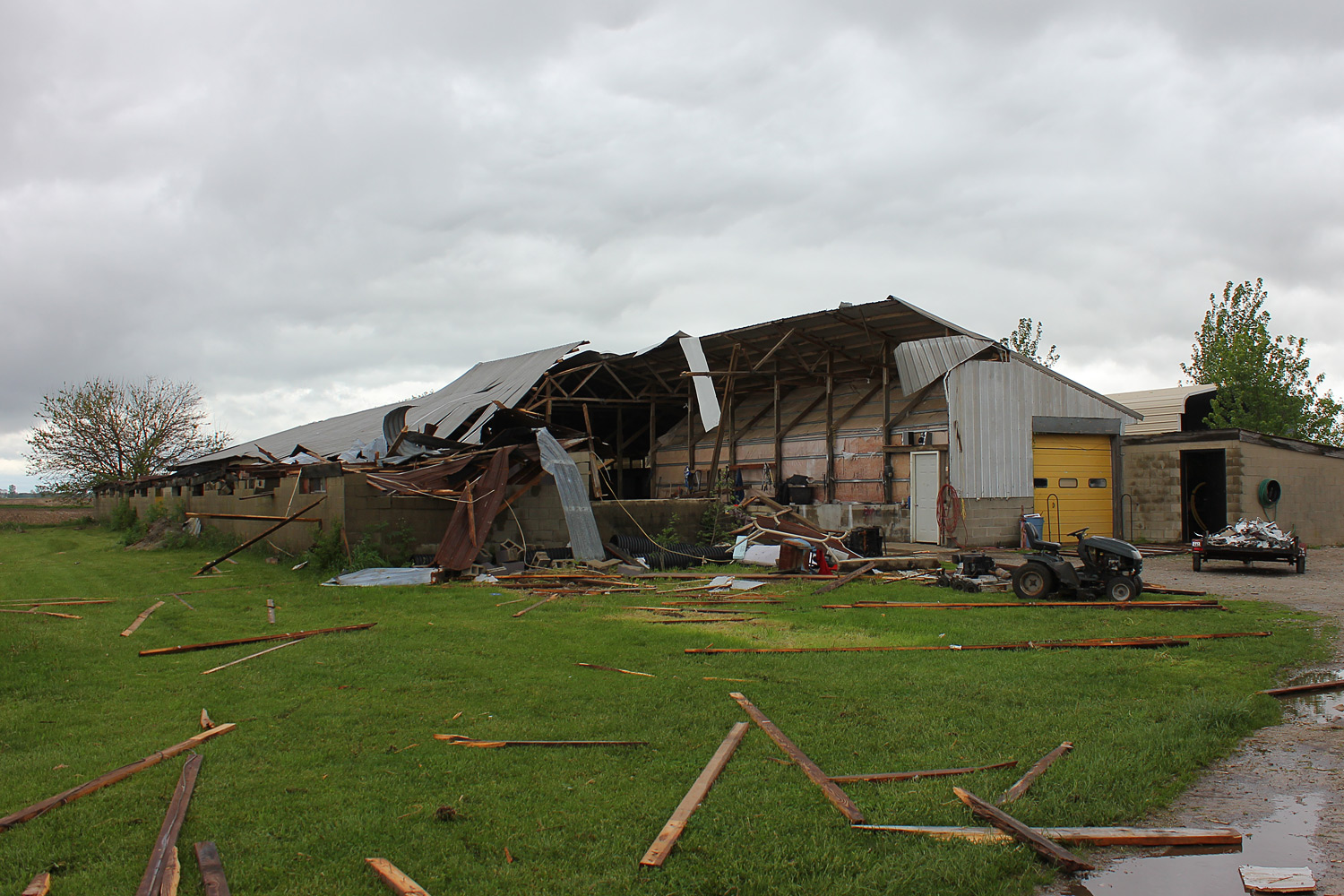
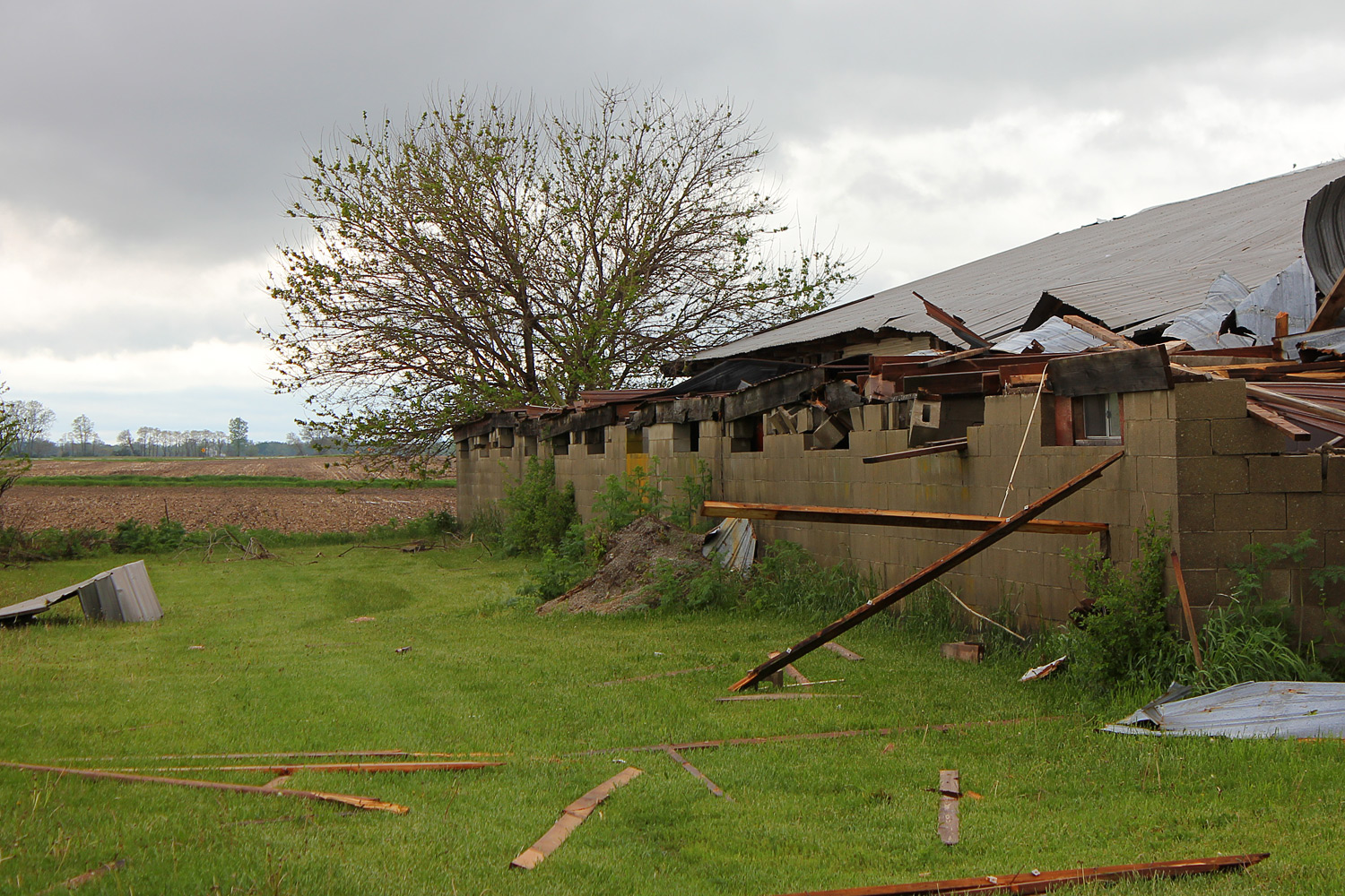
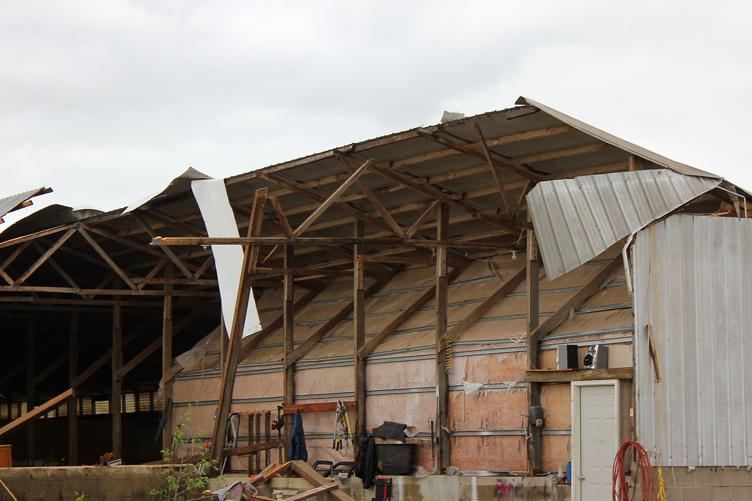
...TORNADO CONFIRMED NEAR CEDARVILLE IN GREENE COUNTY OHIO... LOCATION...NEAR CEDARVILLE IN GREENE COUNTY OHIO DATE...MAY 14 2014 ESTIMATED TIME...544 PM TO 603 PM EDT MAXIMUM EF-SCALE RATING...EF3 ESTIMATED MAXIMUM WIND SPEED...145 MPH MAXIMUM PATH WIDTH...400 YARDS PATH LENGTH...9 MILES BEGINNING LAT/LON...39.6808N / 83.8480W ENDING LAT/LON...39.7753N / 83.7333W * FATALITIES...0 * INJURIES...0 |
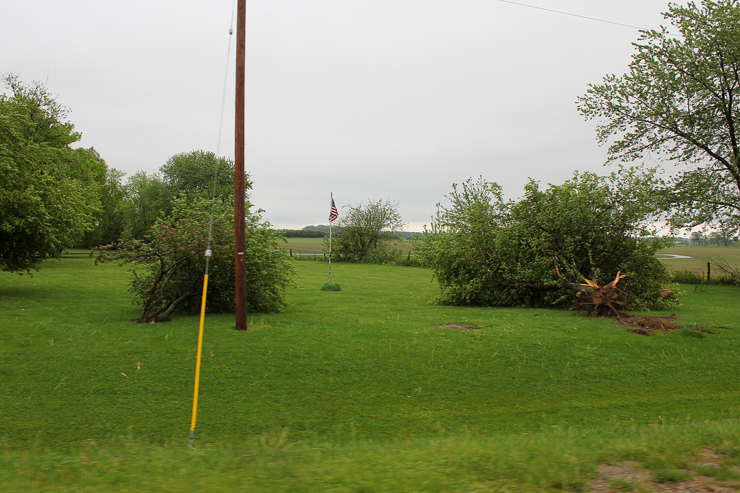
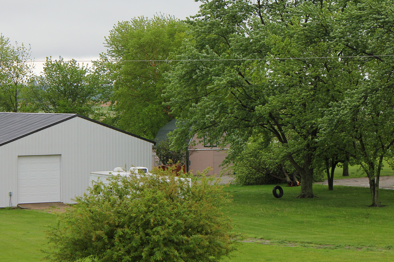
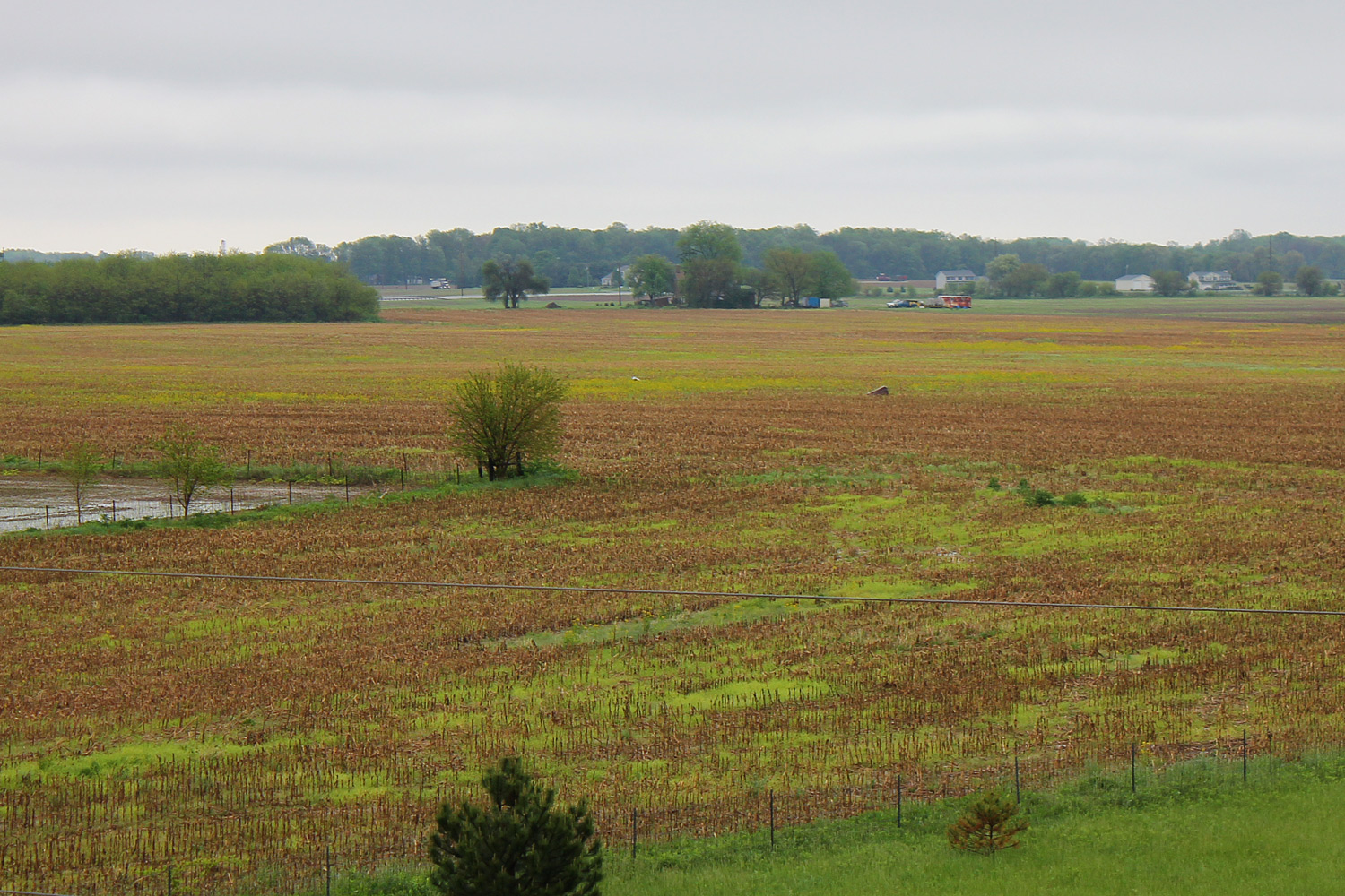
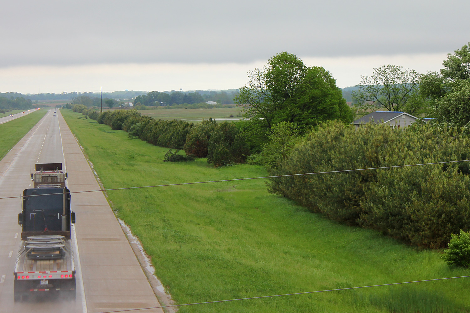
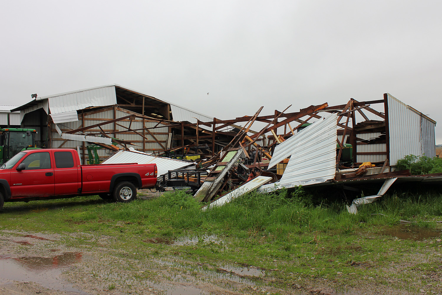
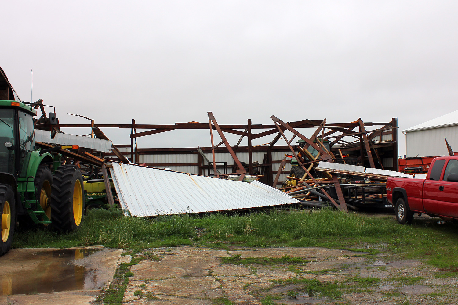
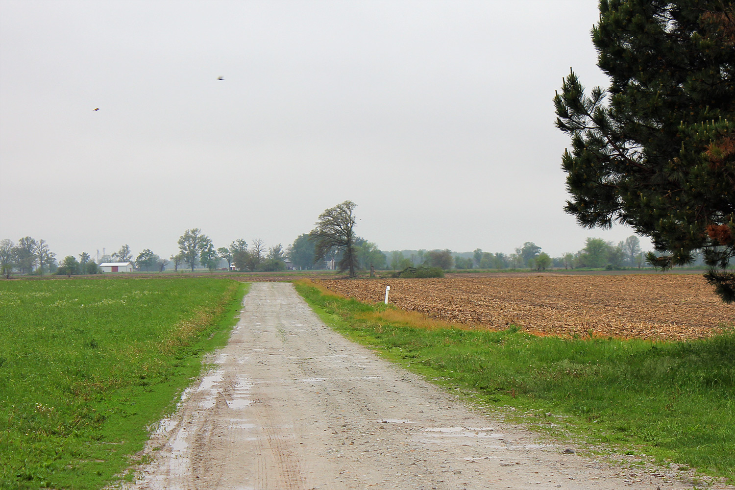
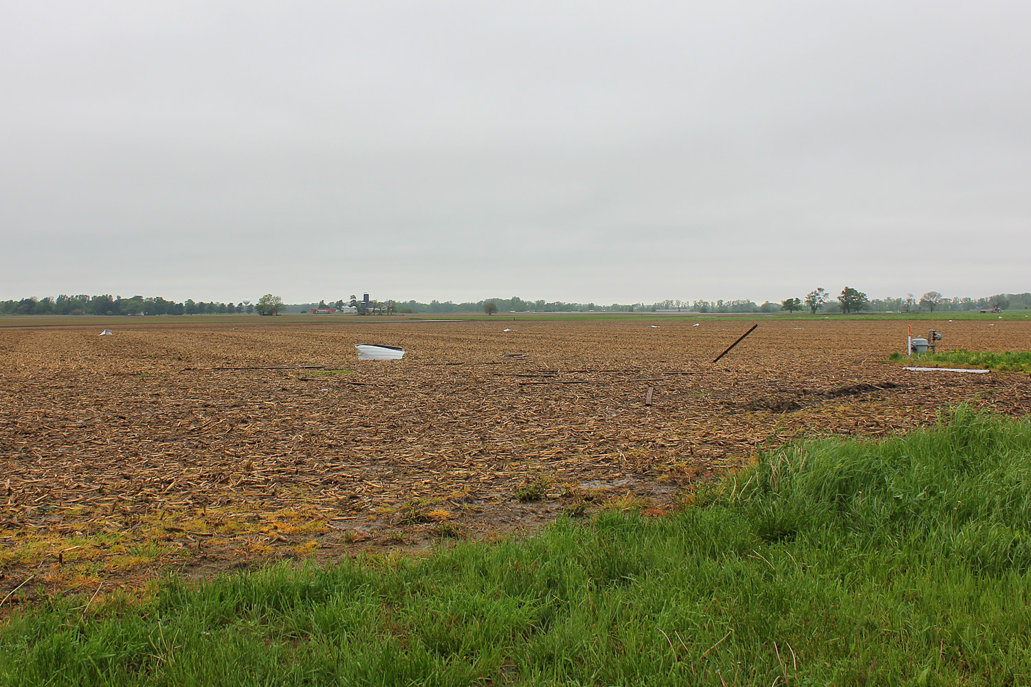
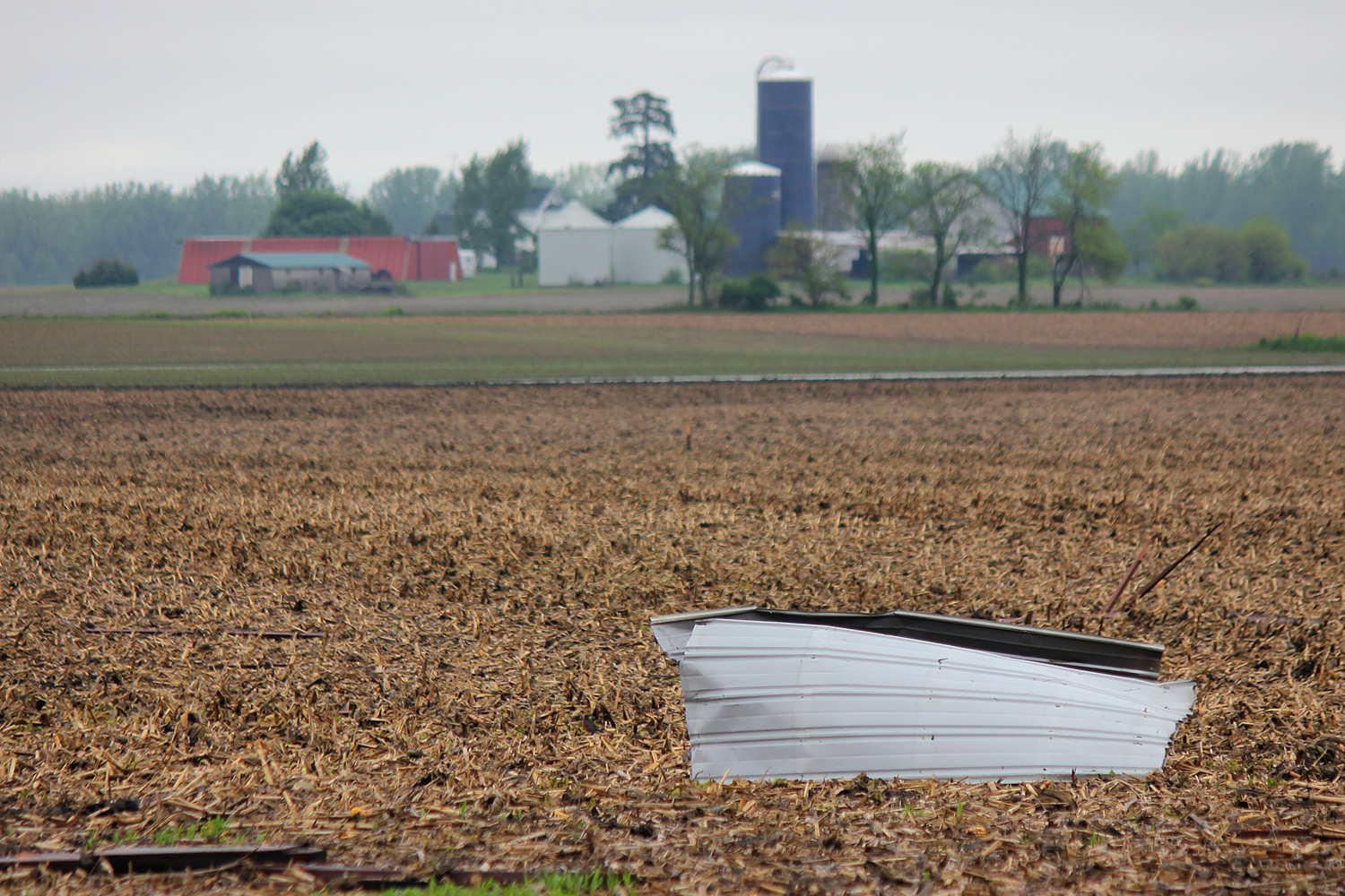
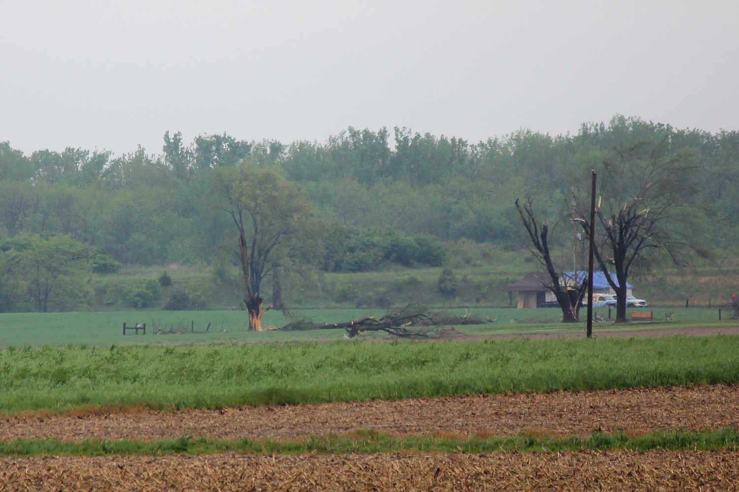
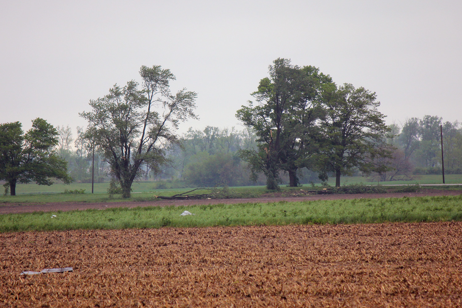
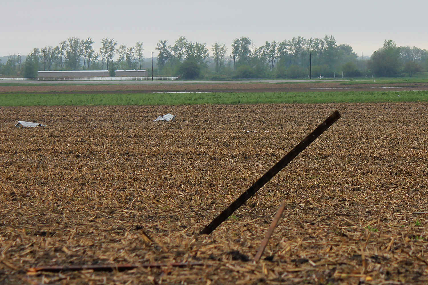
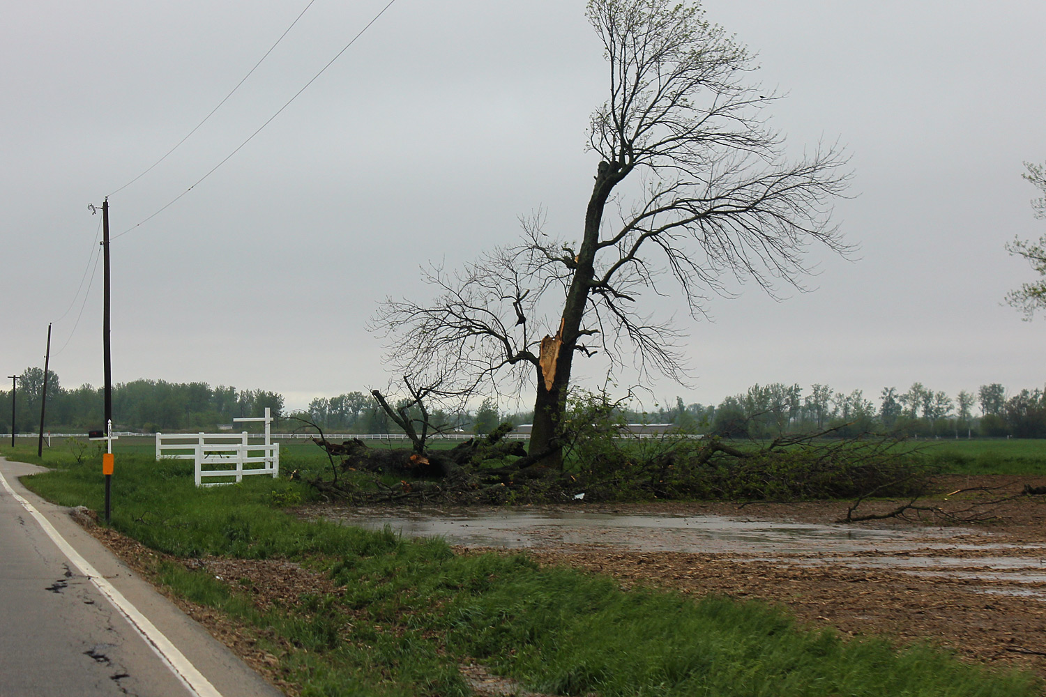
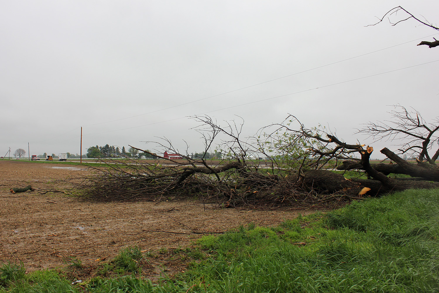
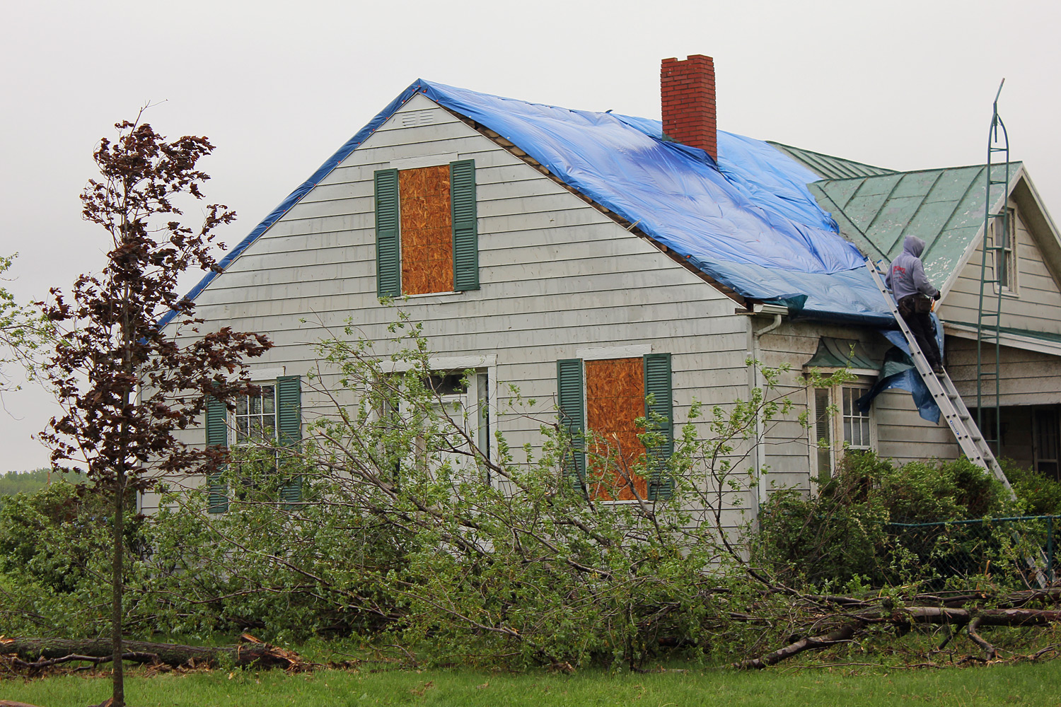
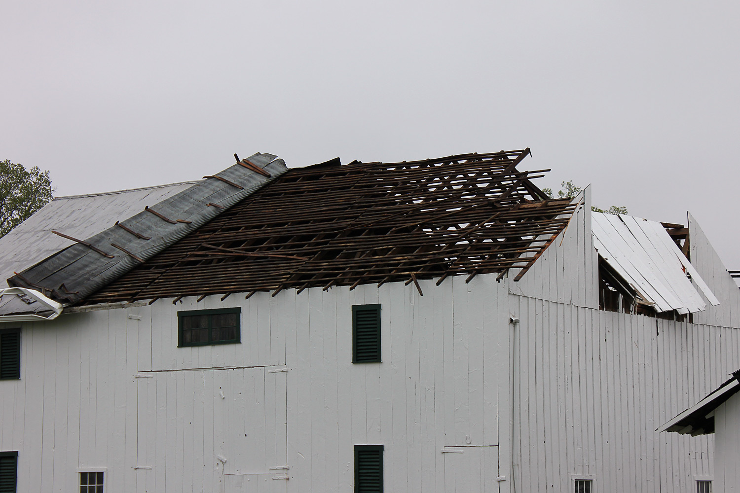
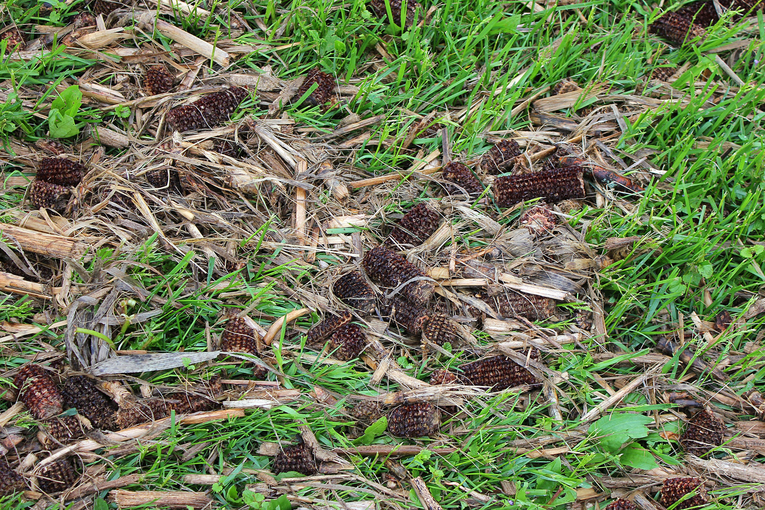
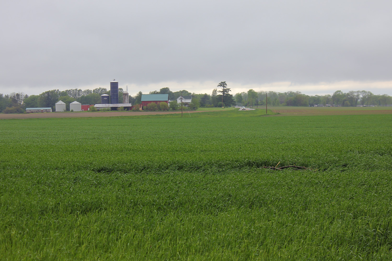
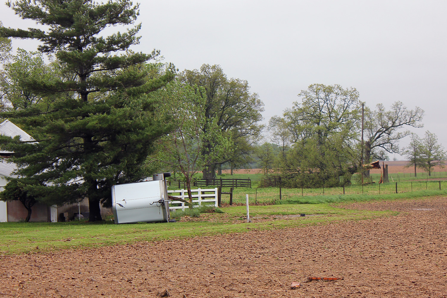
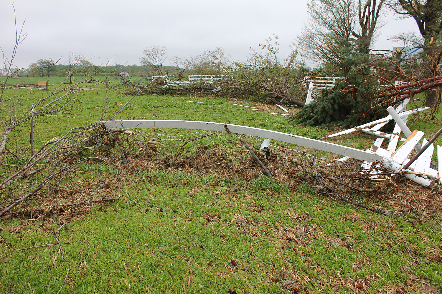
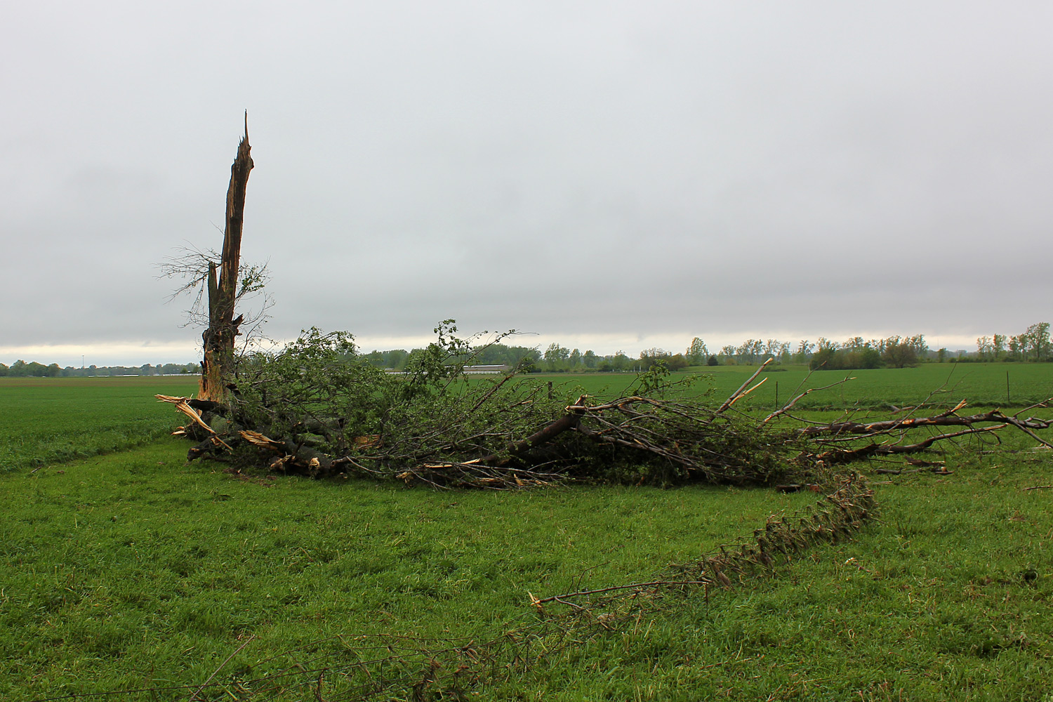
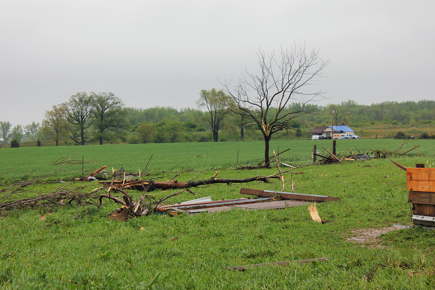
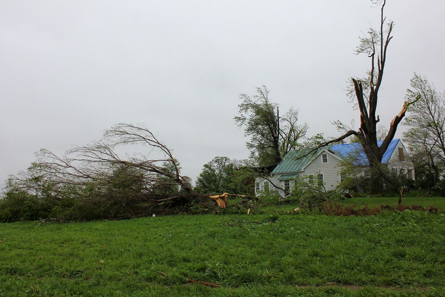
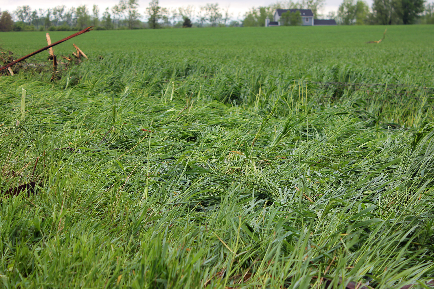
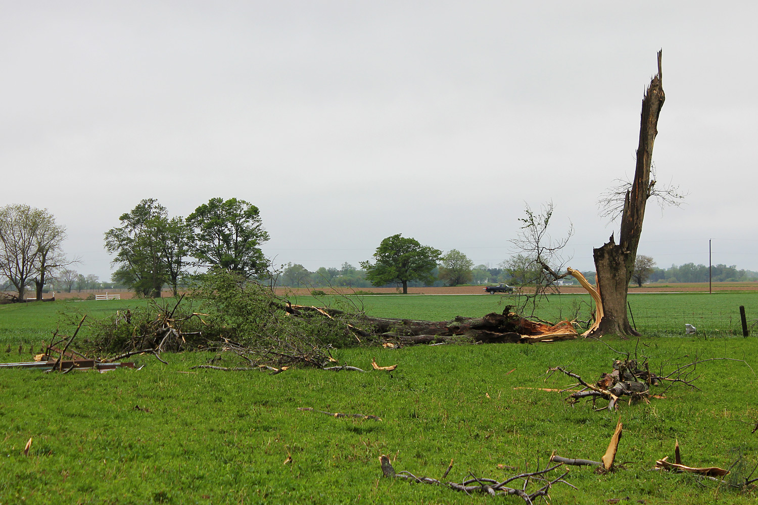
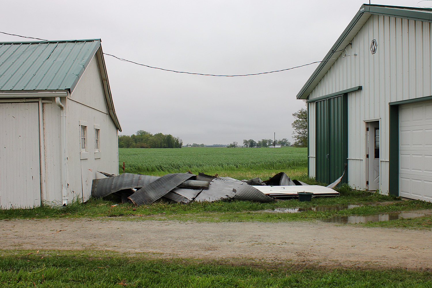
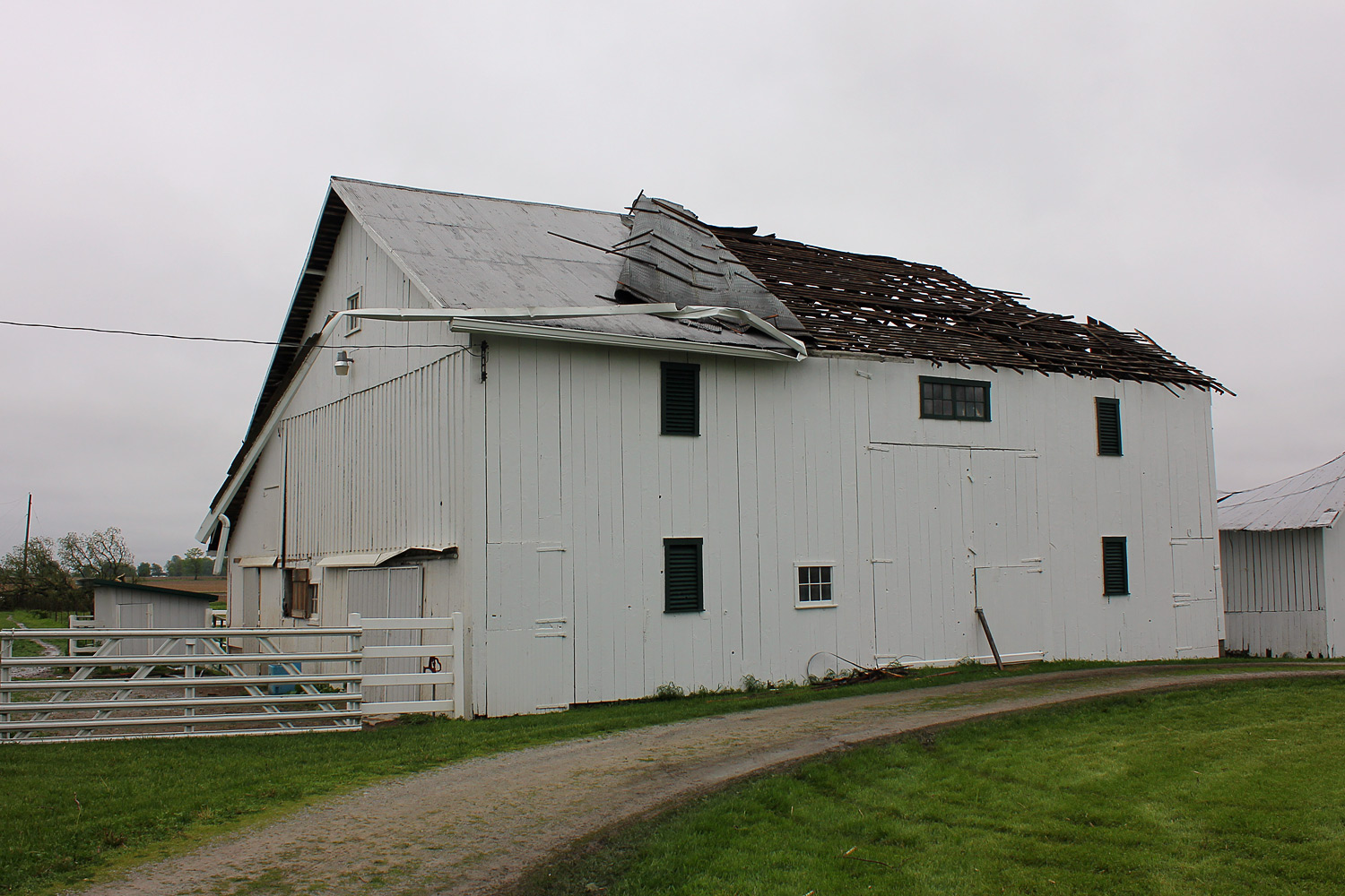
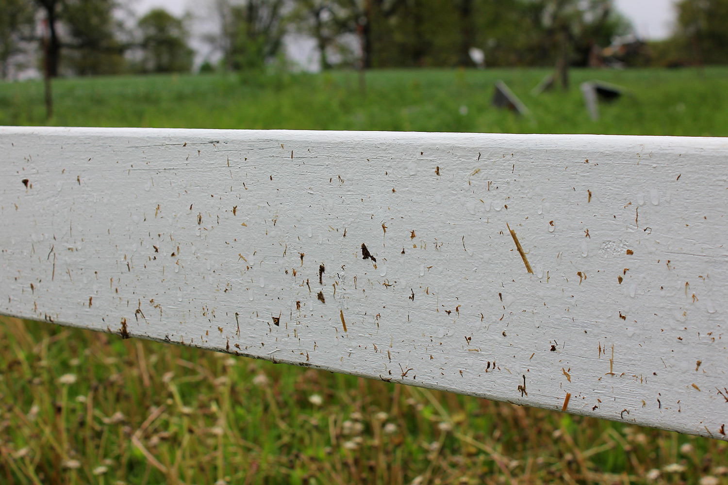
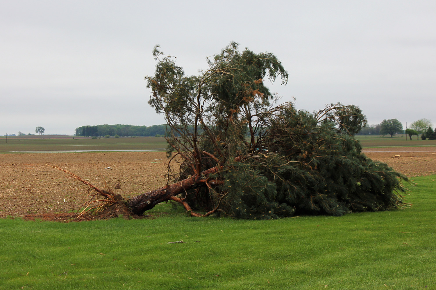
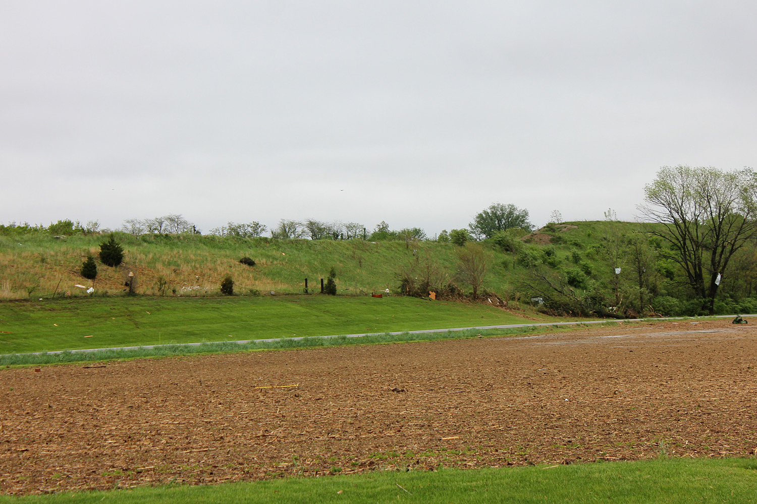
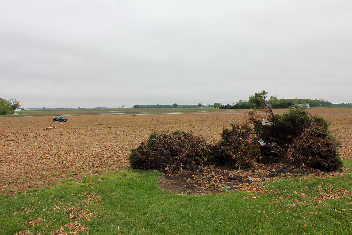
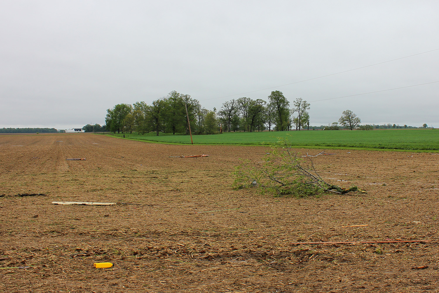
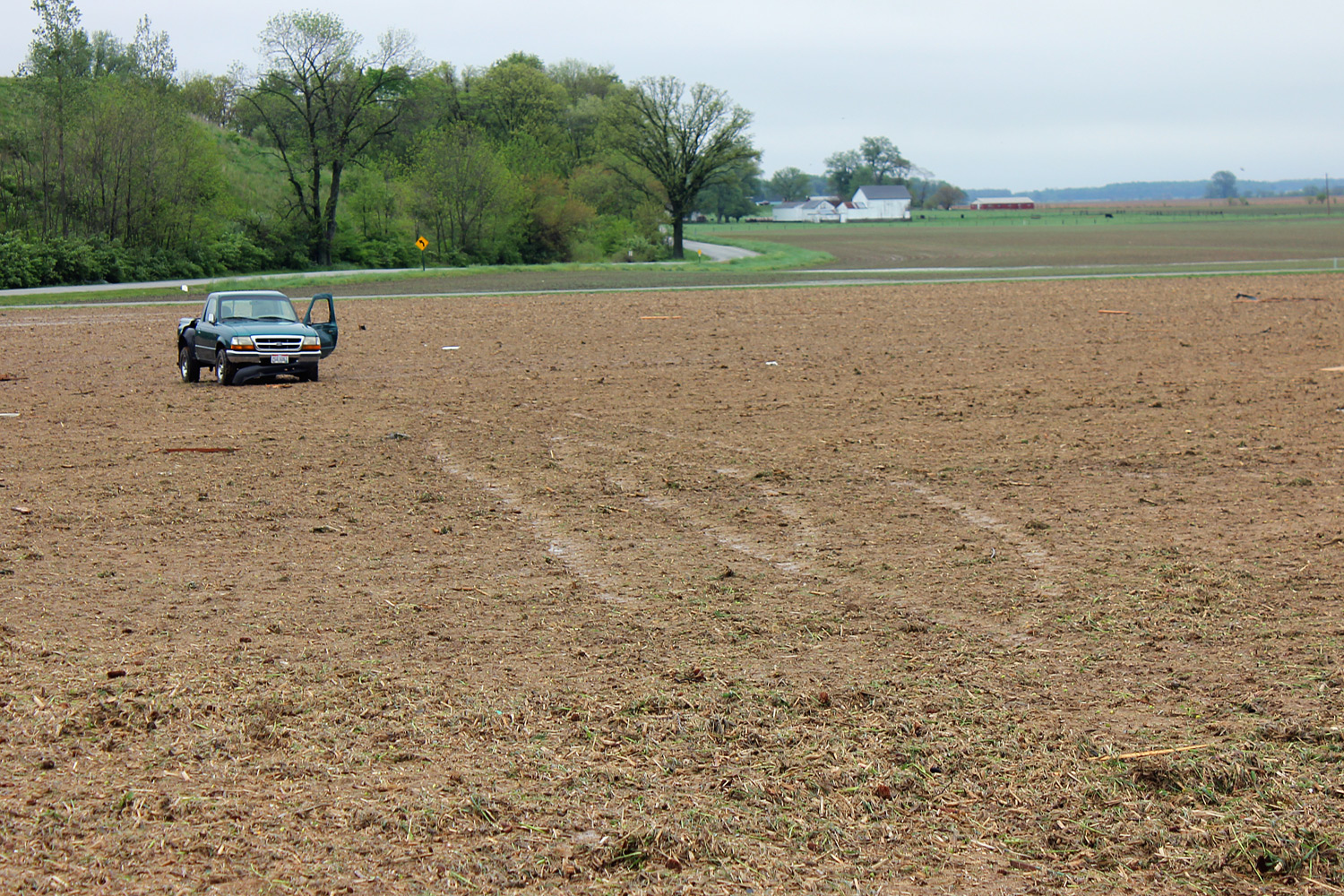
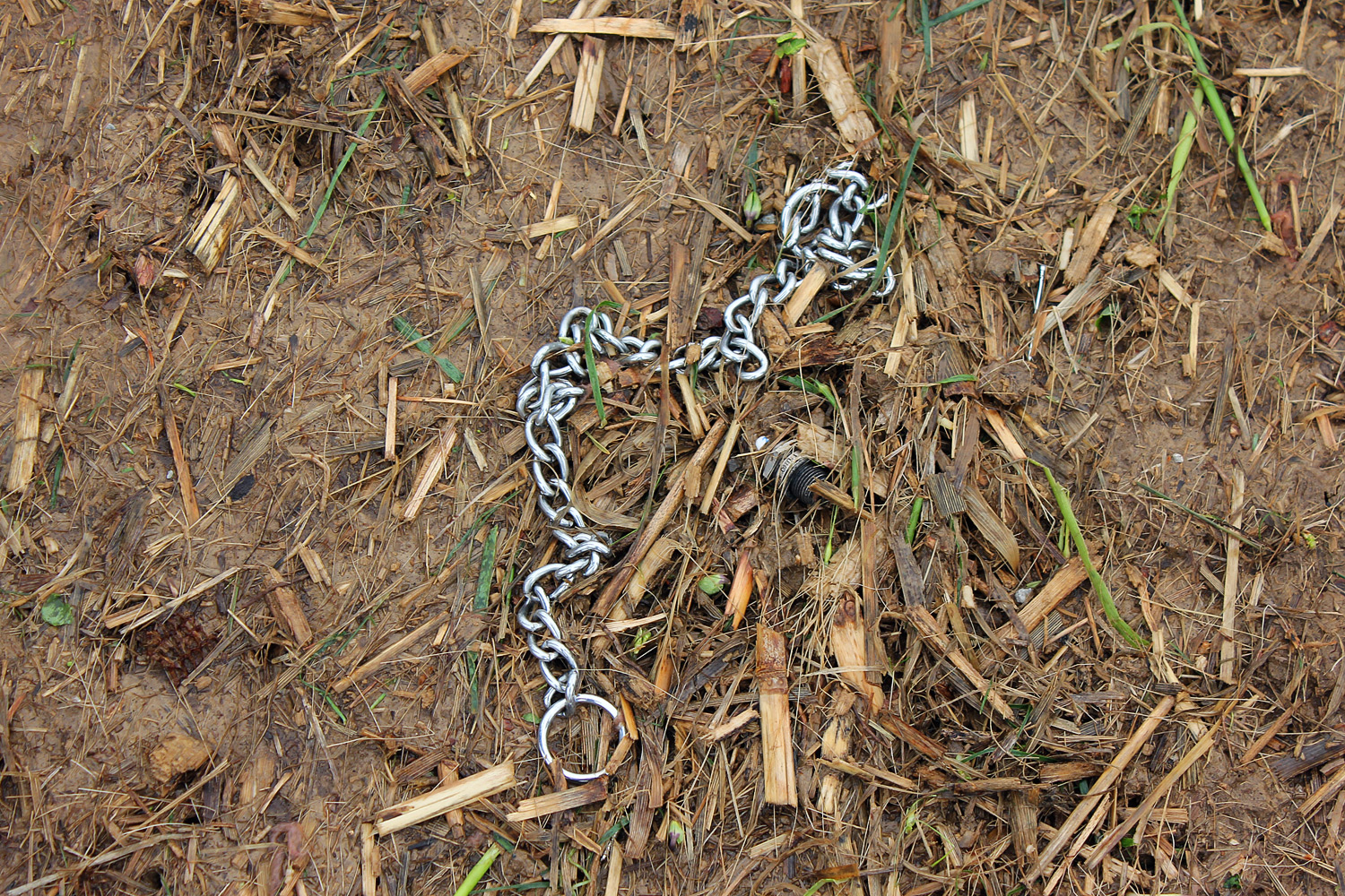
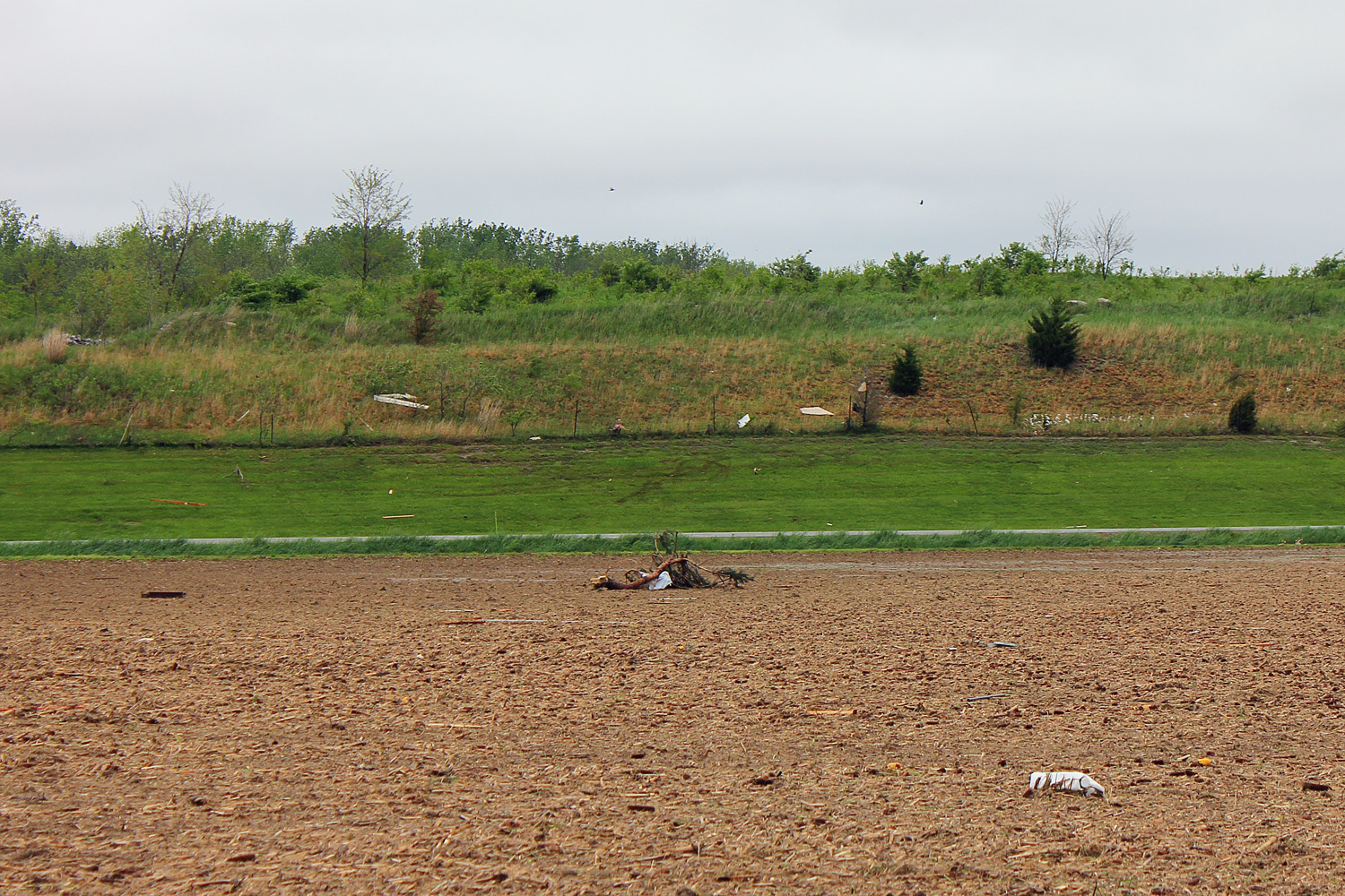
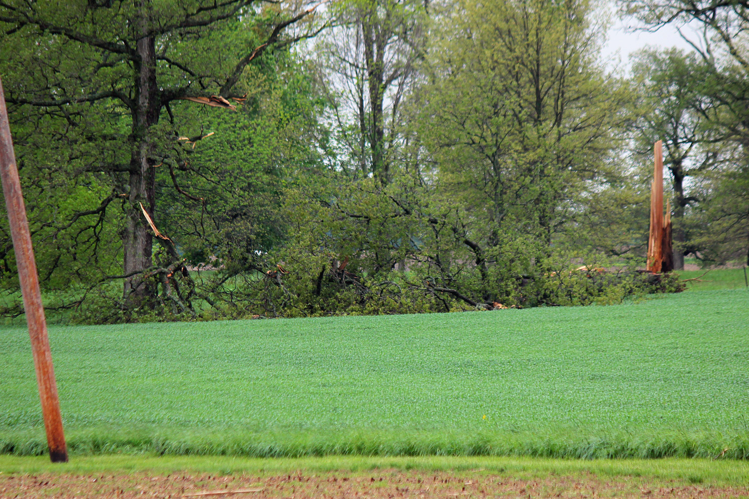
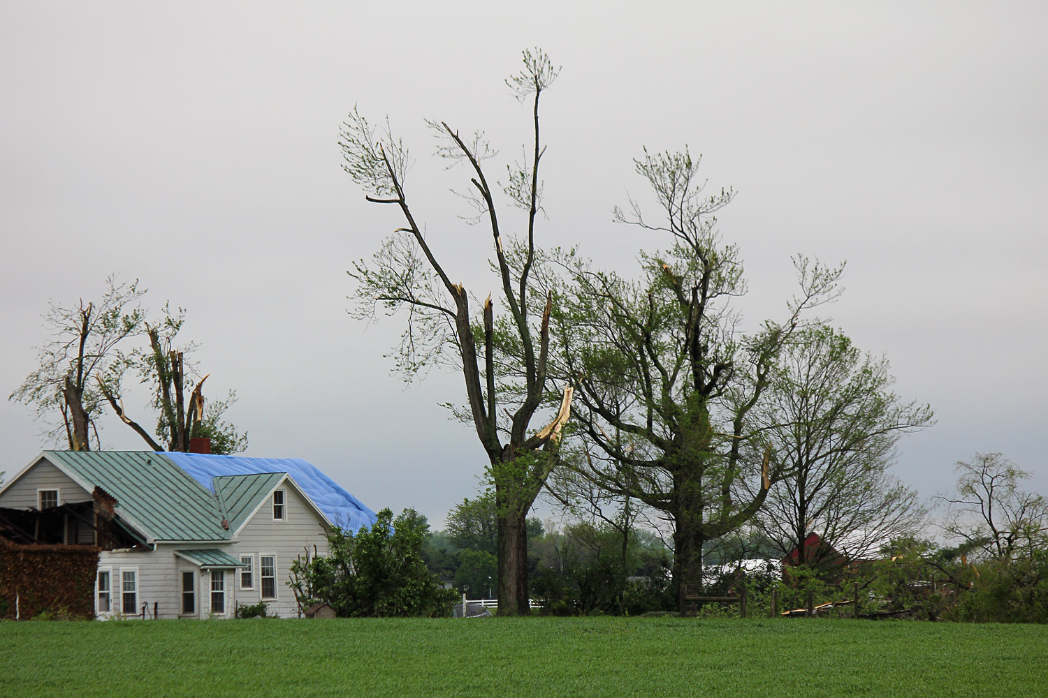
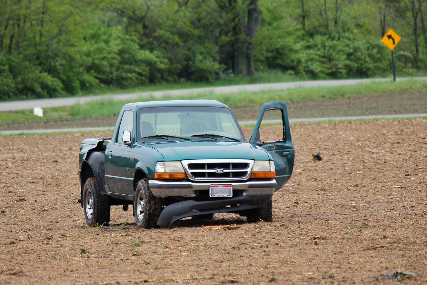
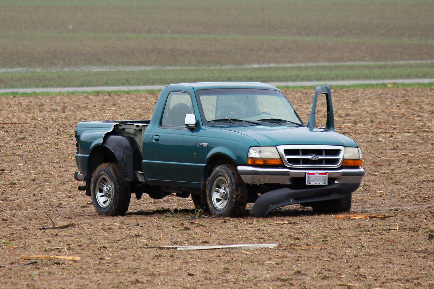
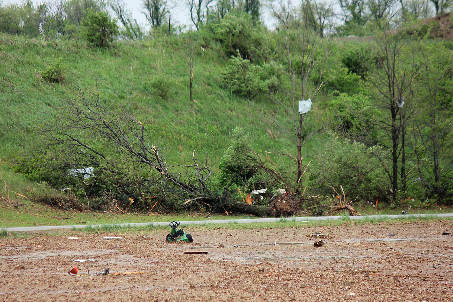
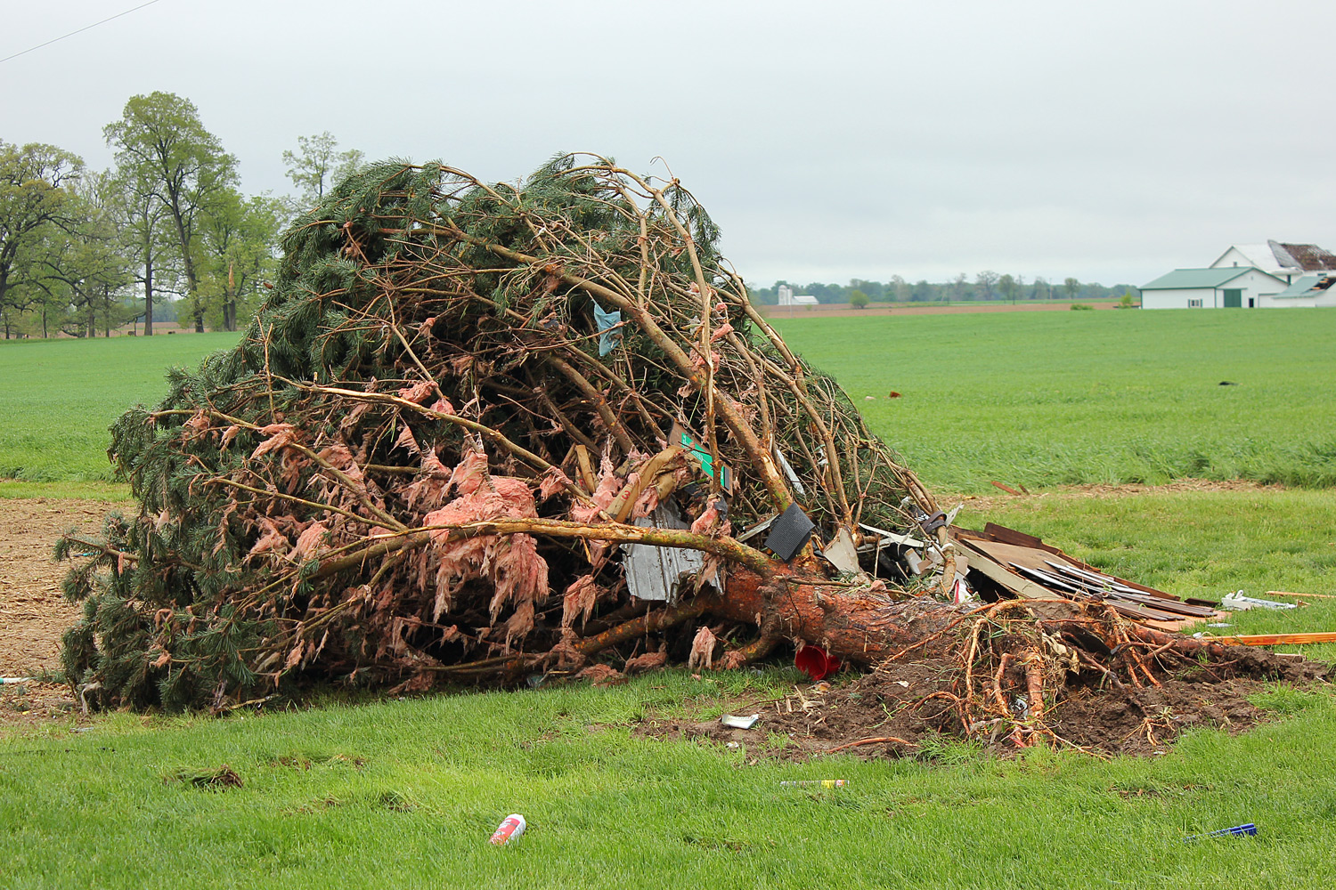
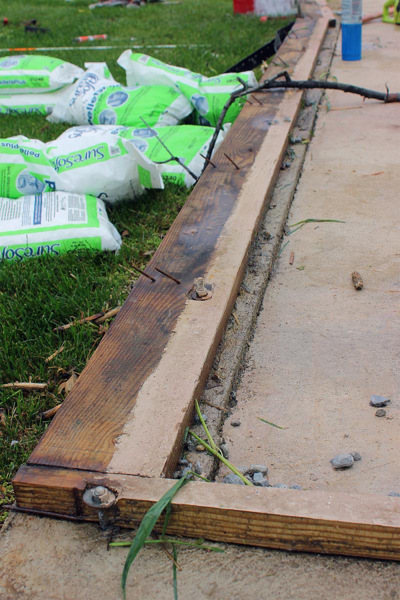
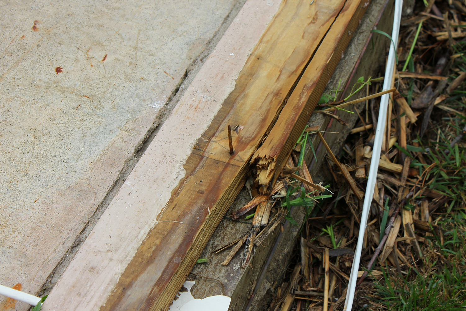
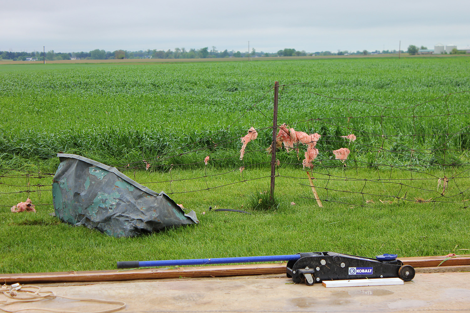
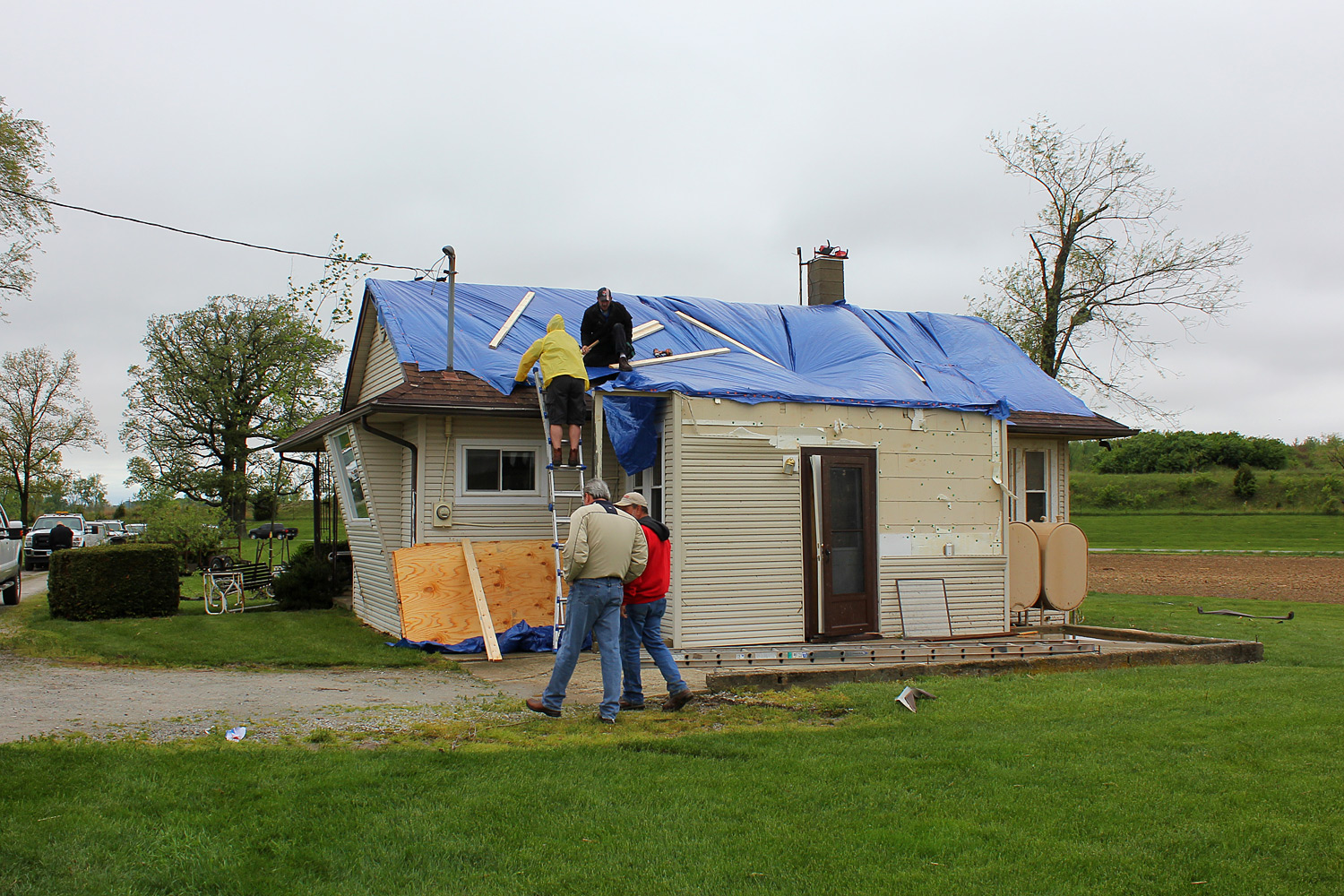
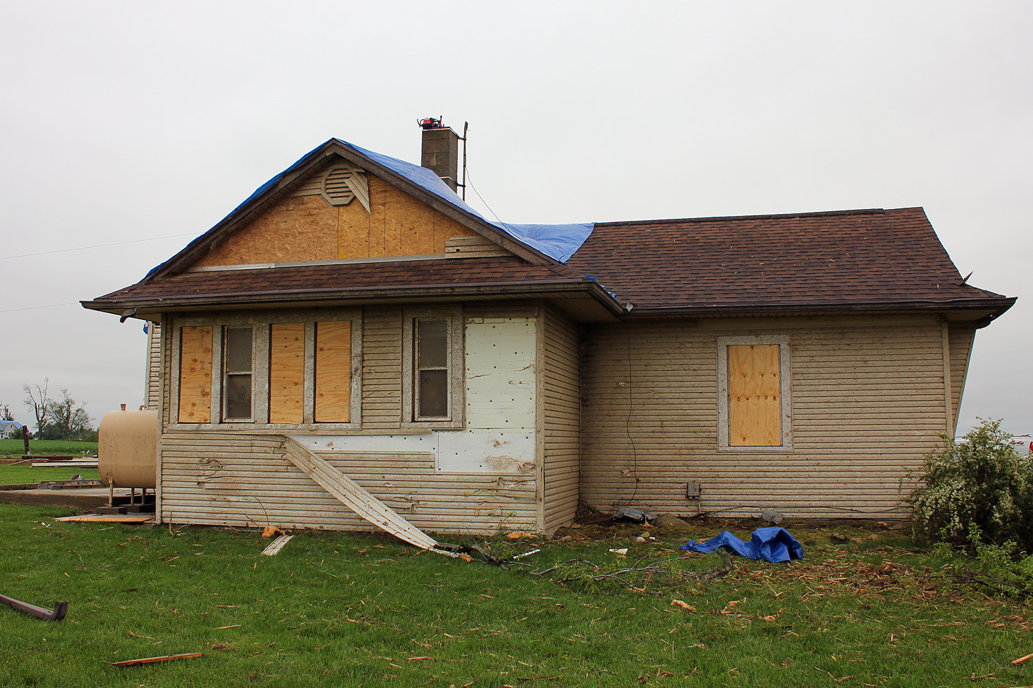
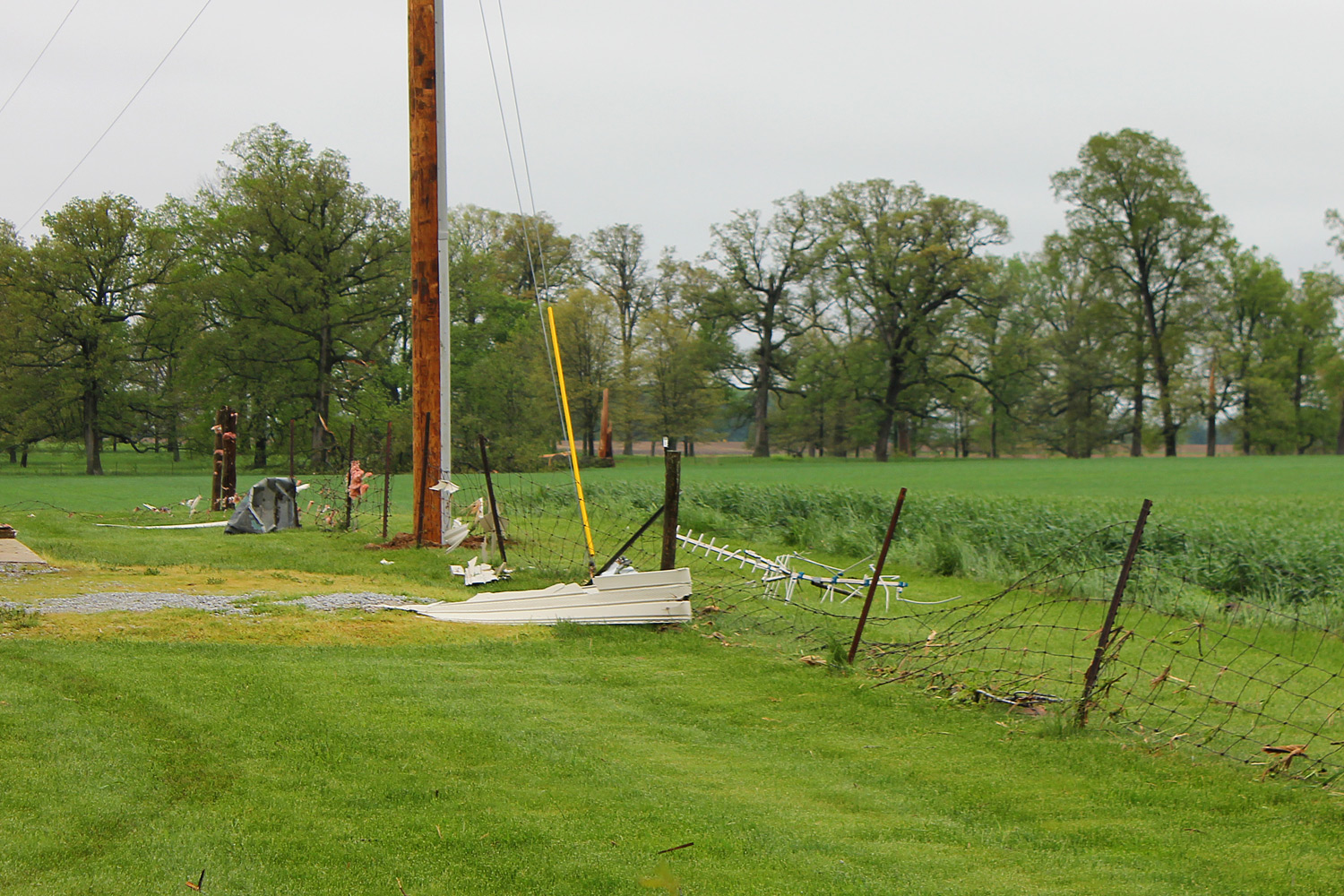
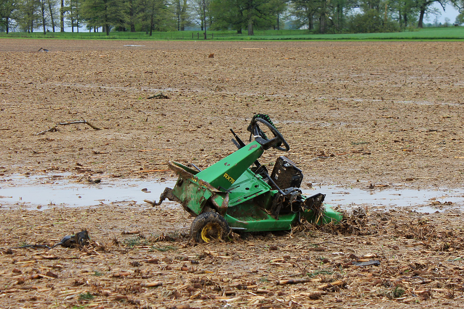
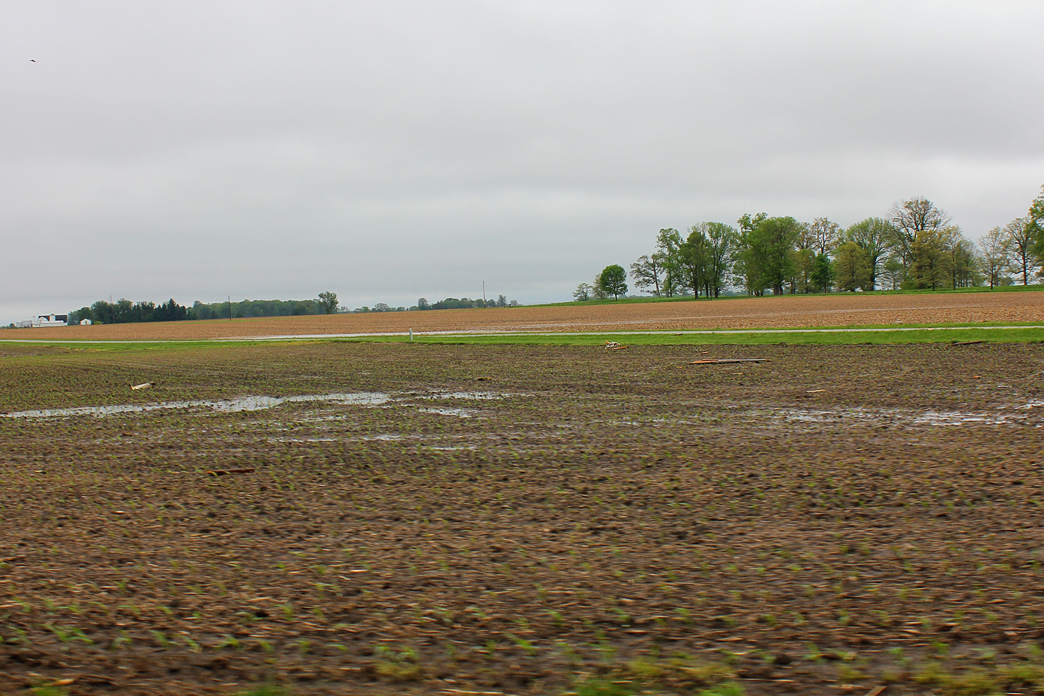
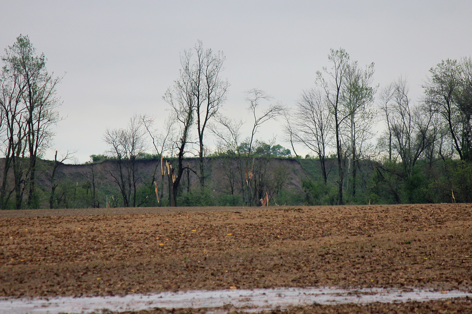
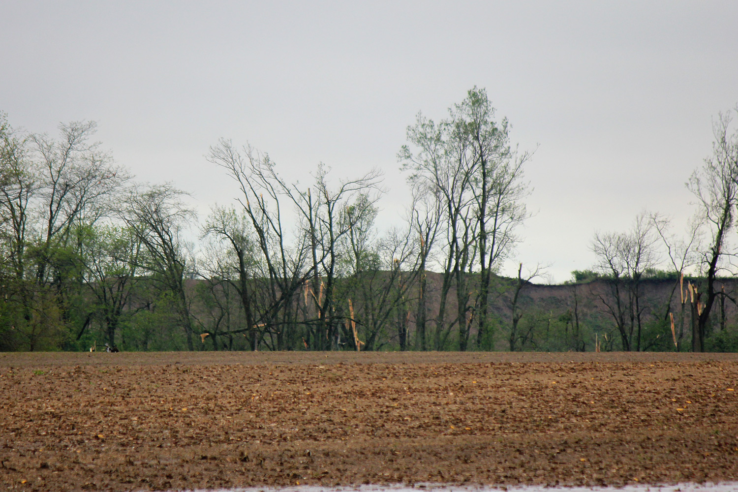
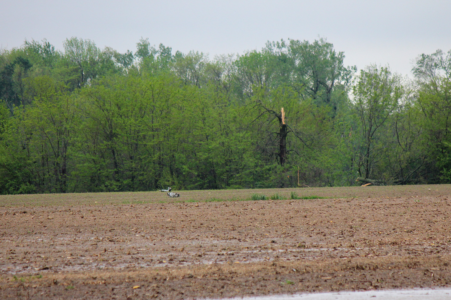
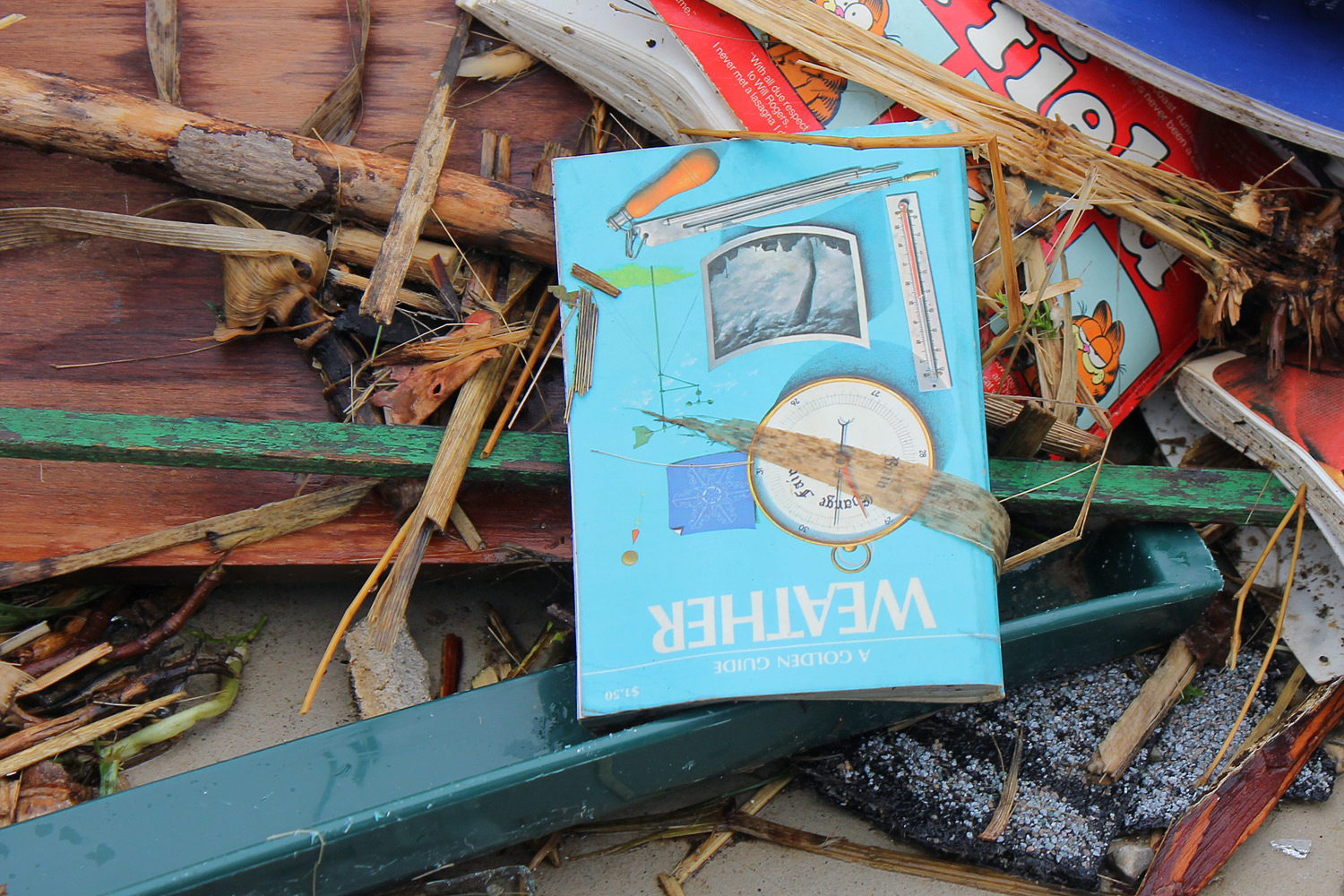
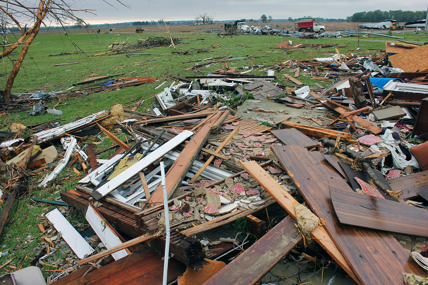
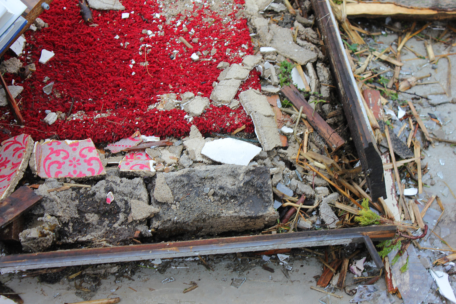
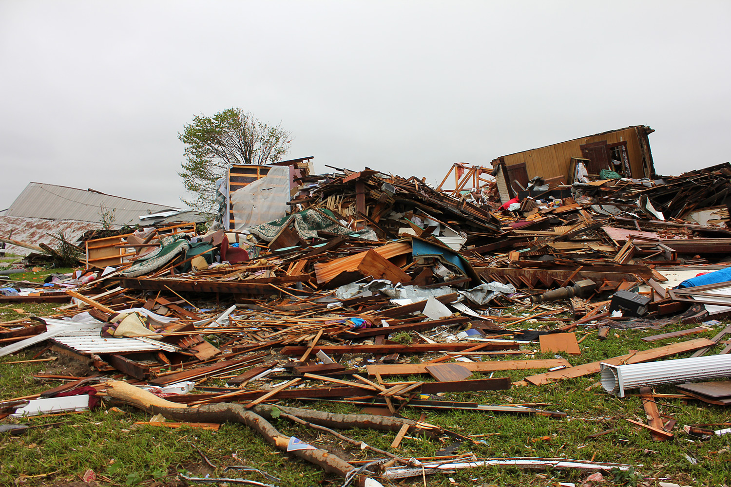
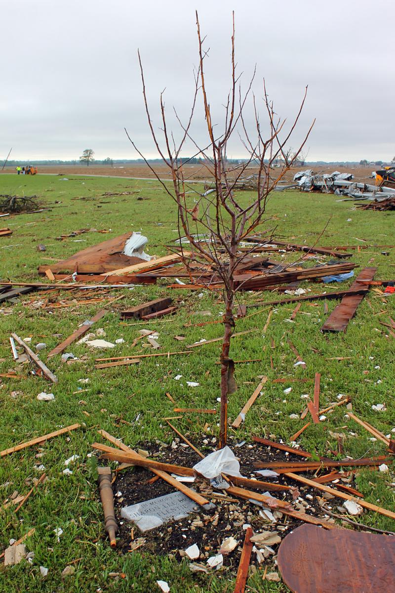
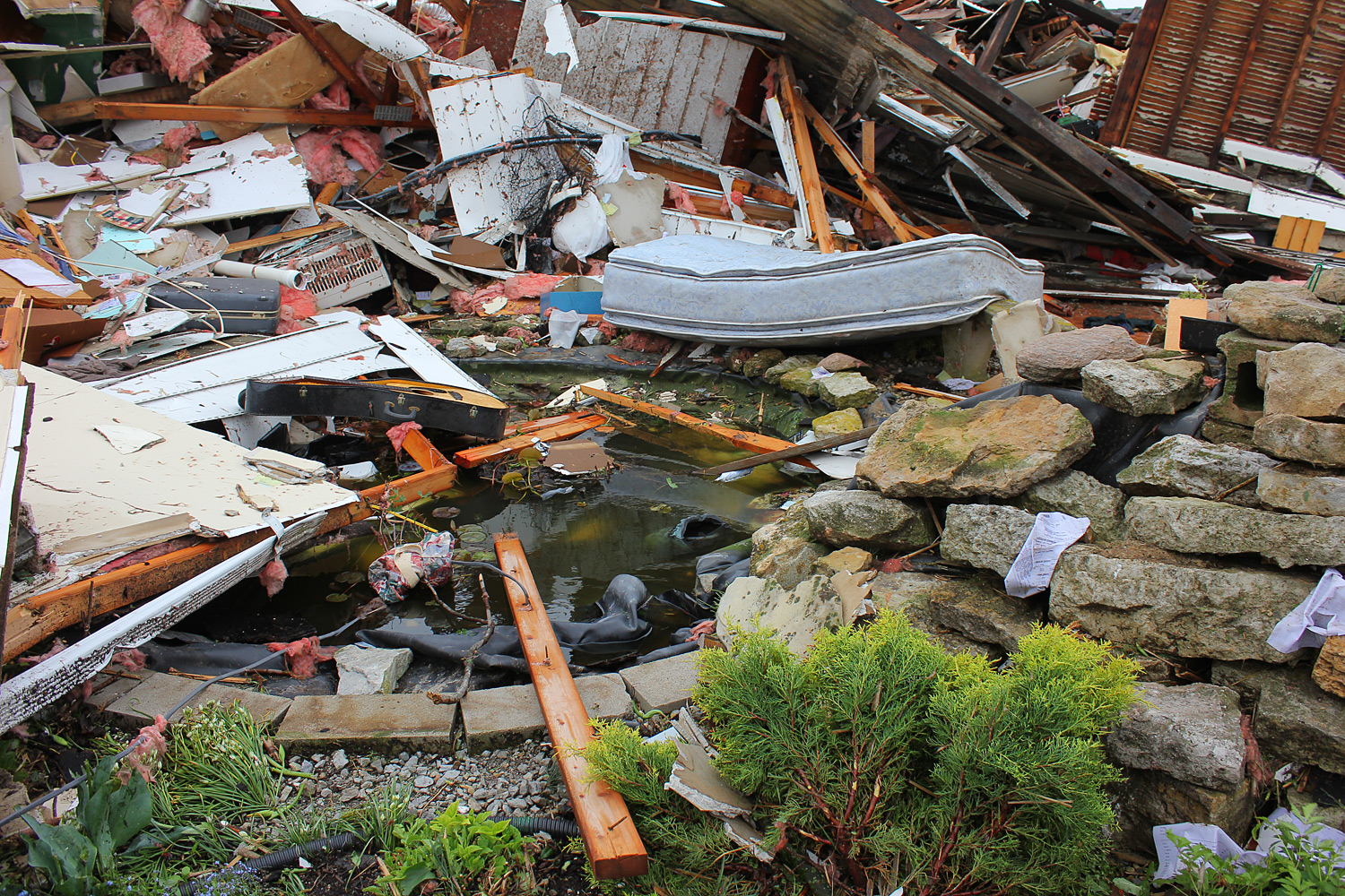
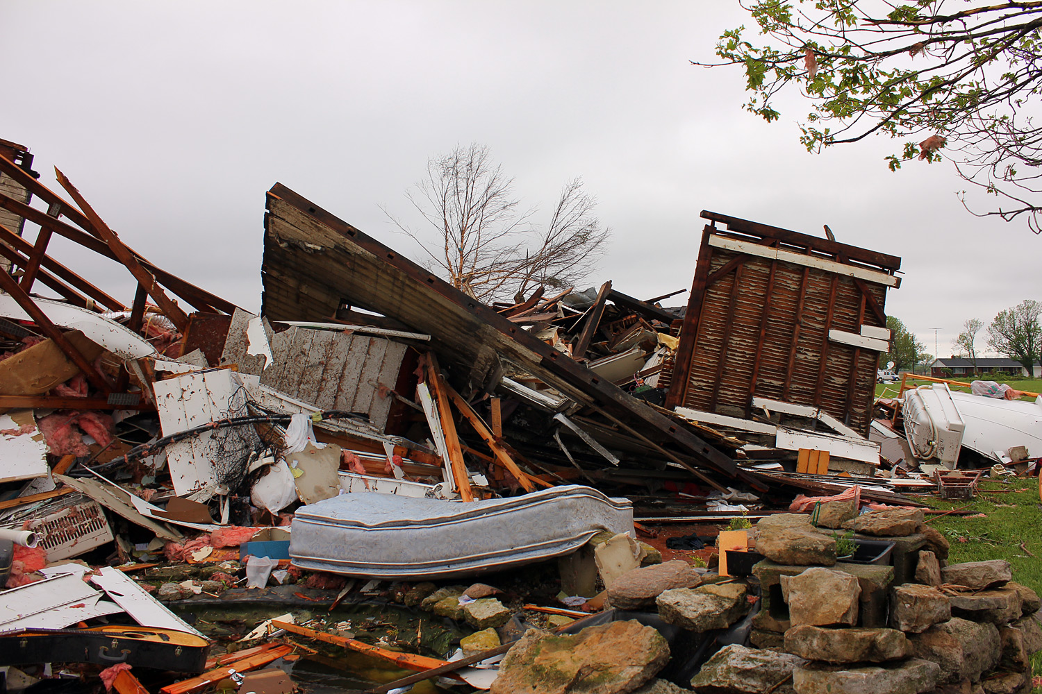
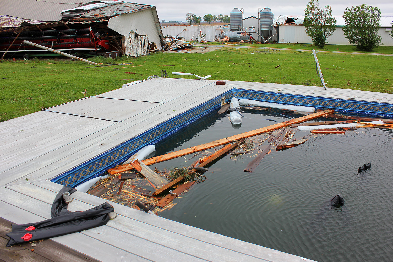
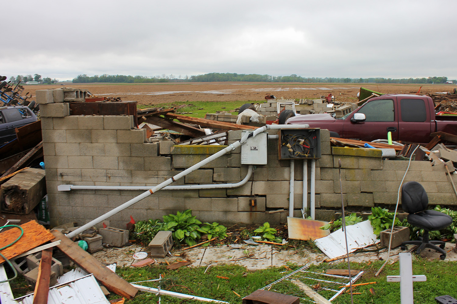
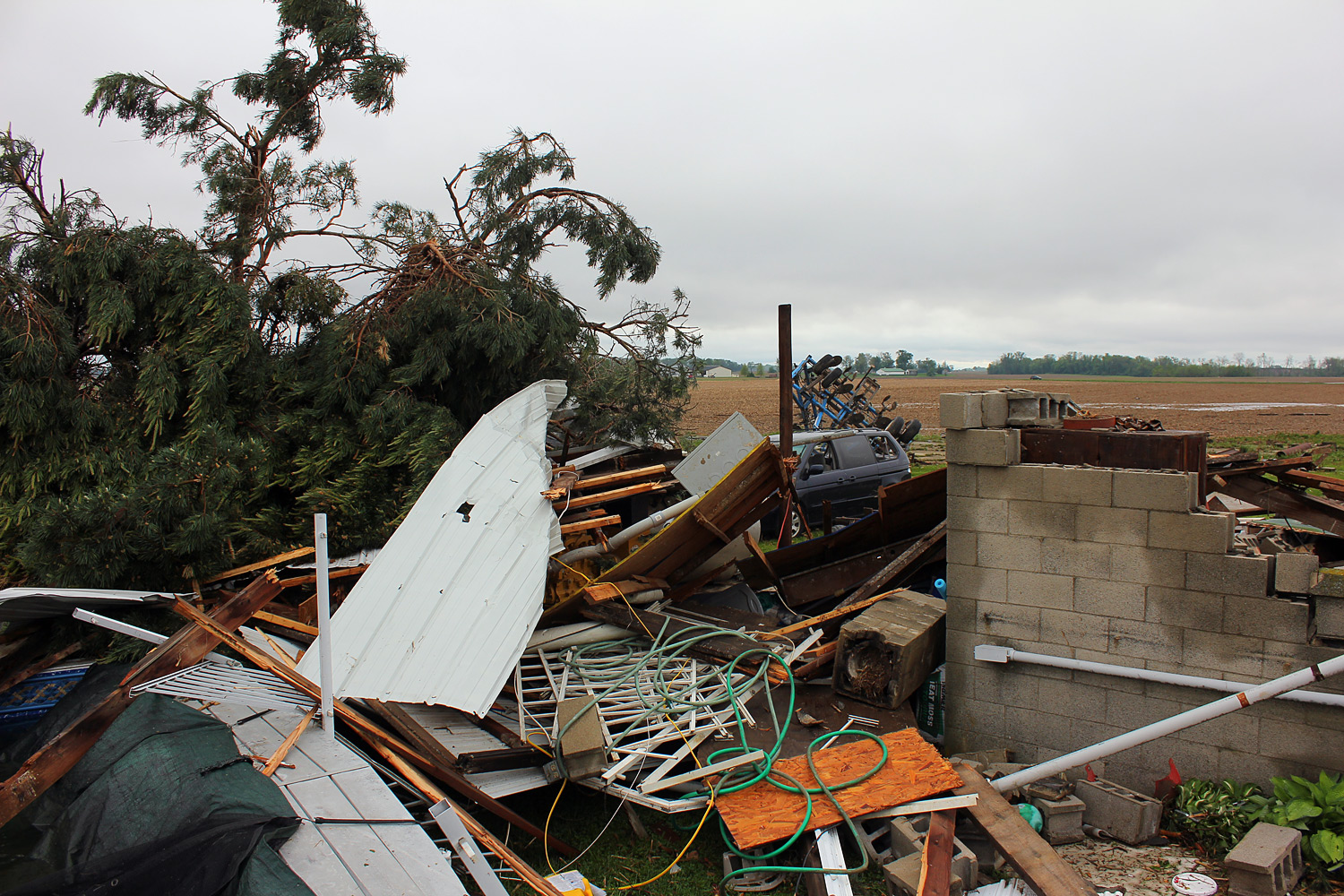
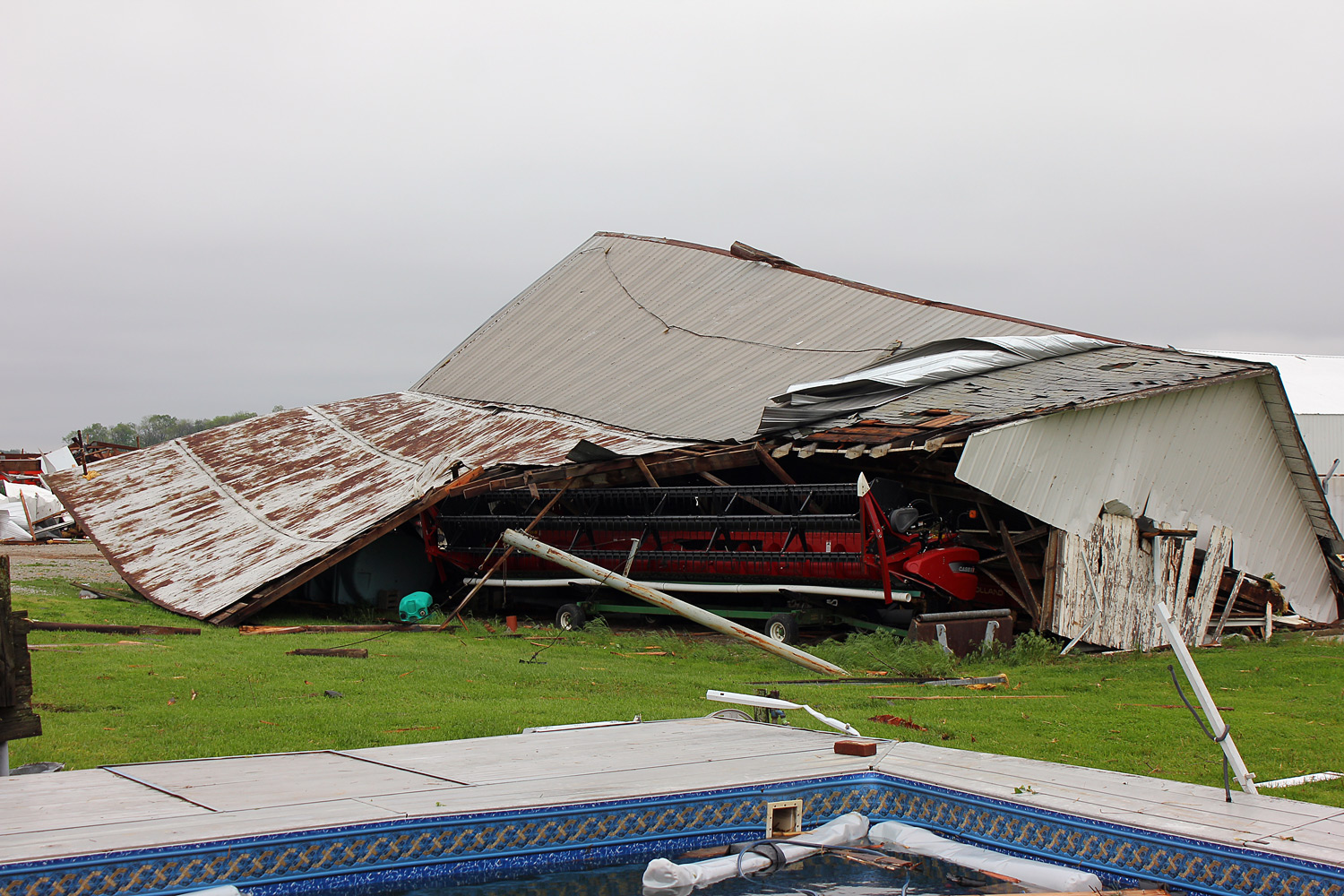
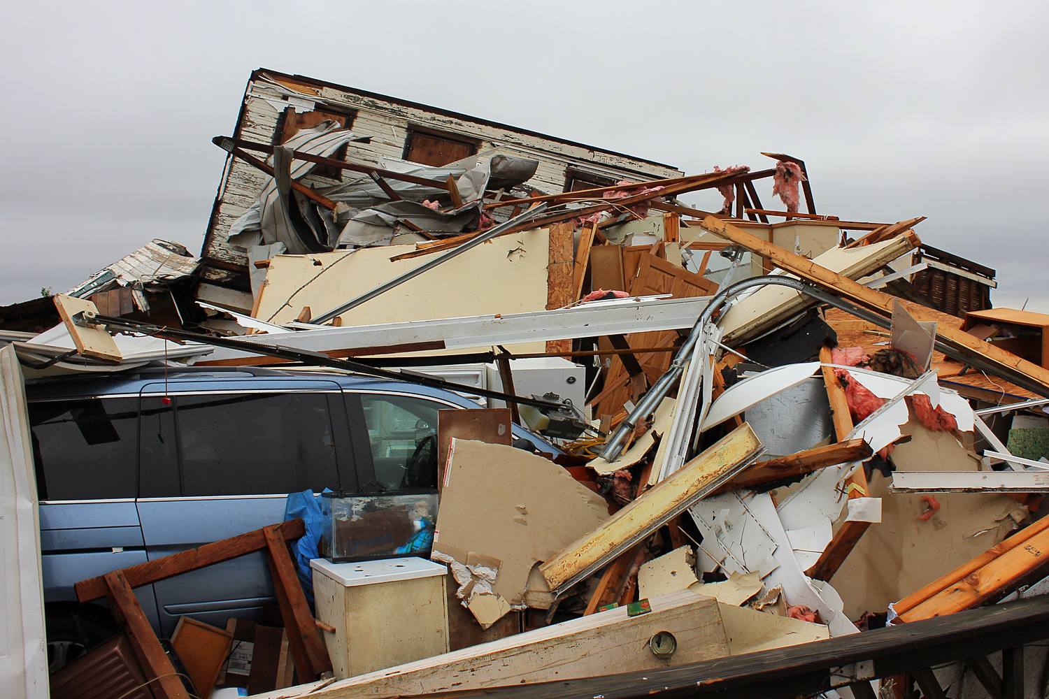
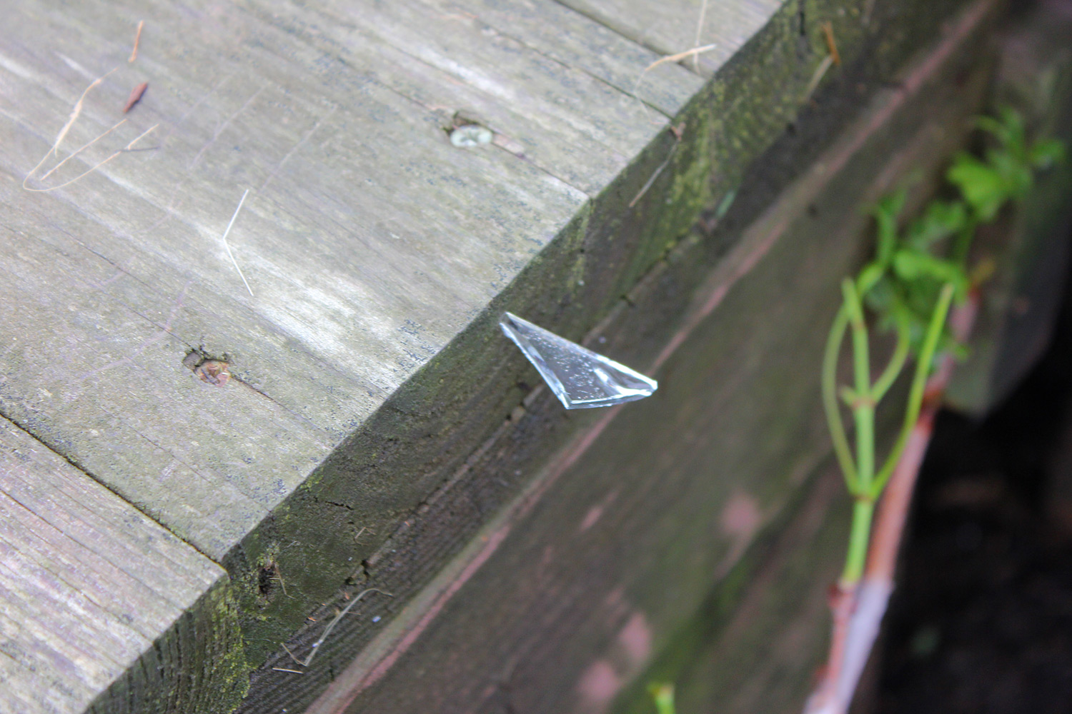
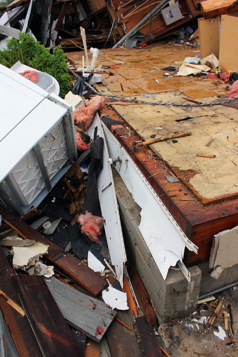
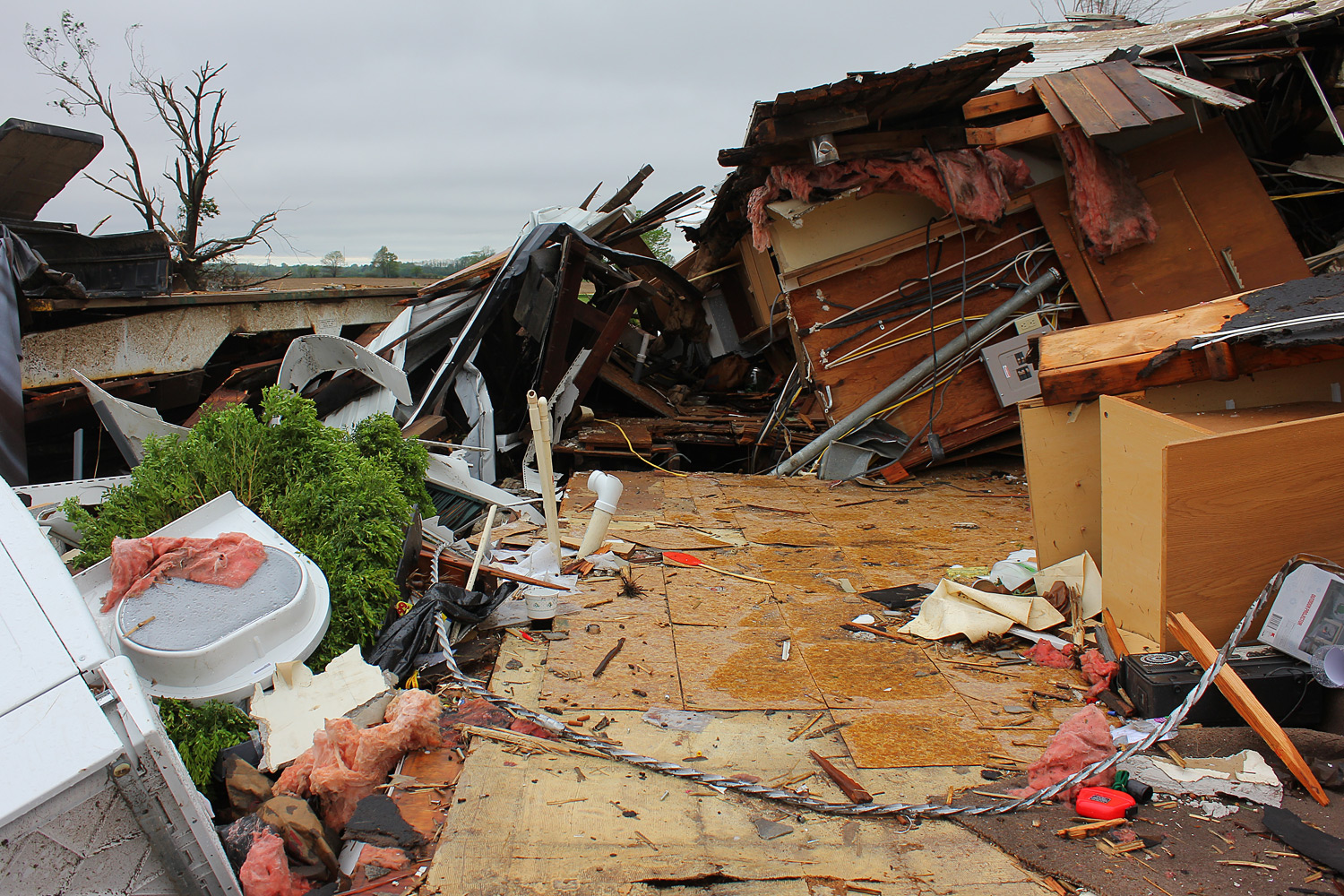
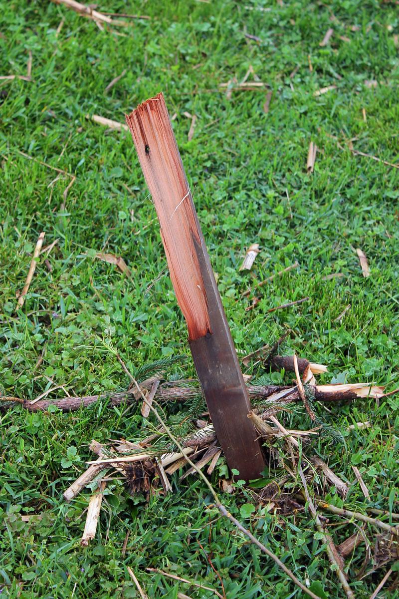
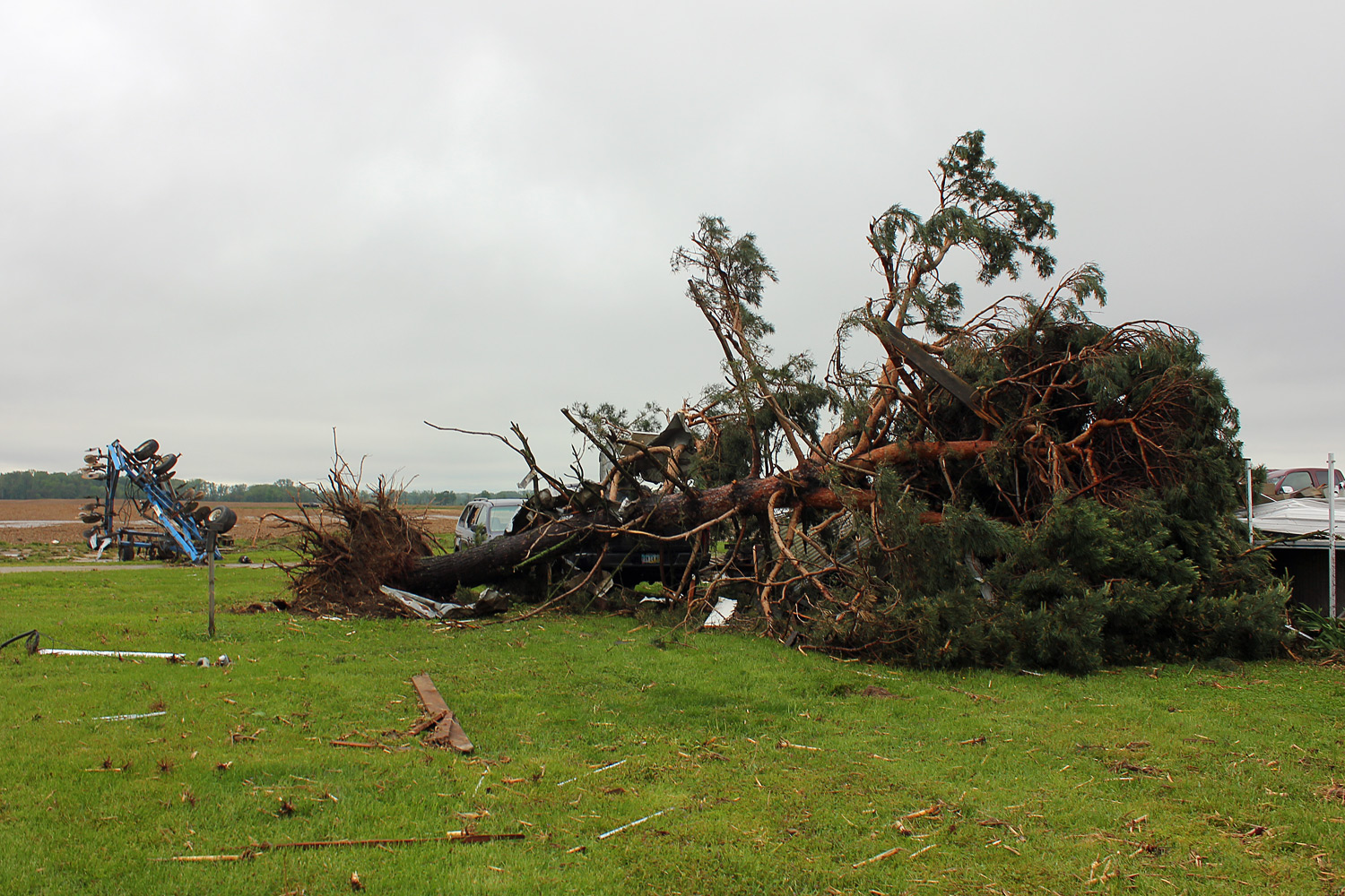
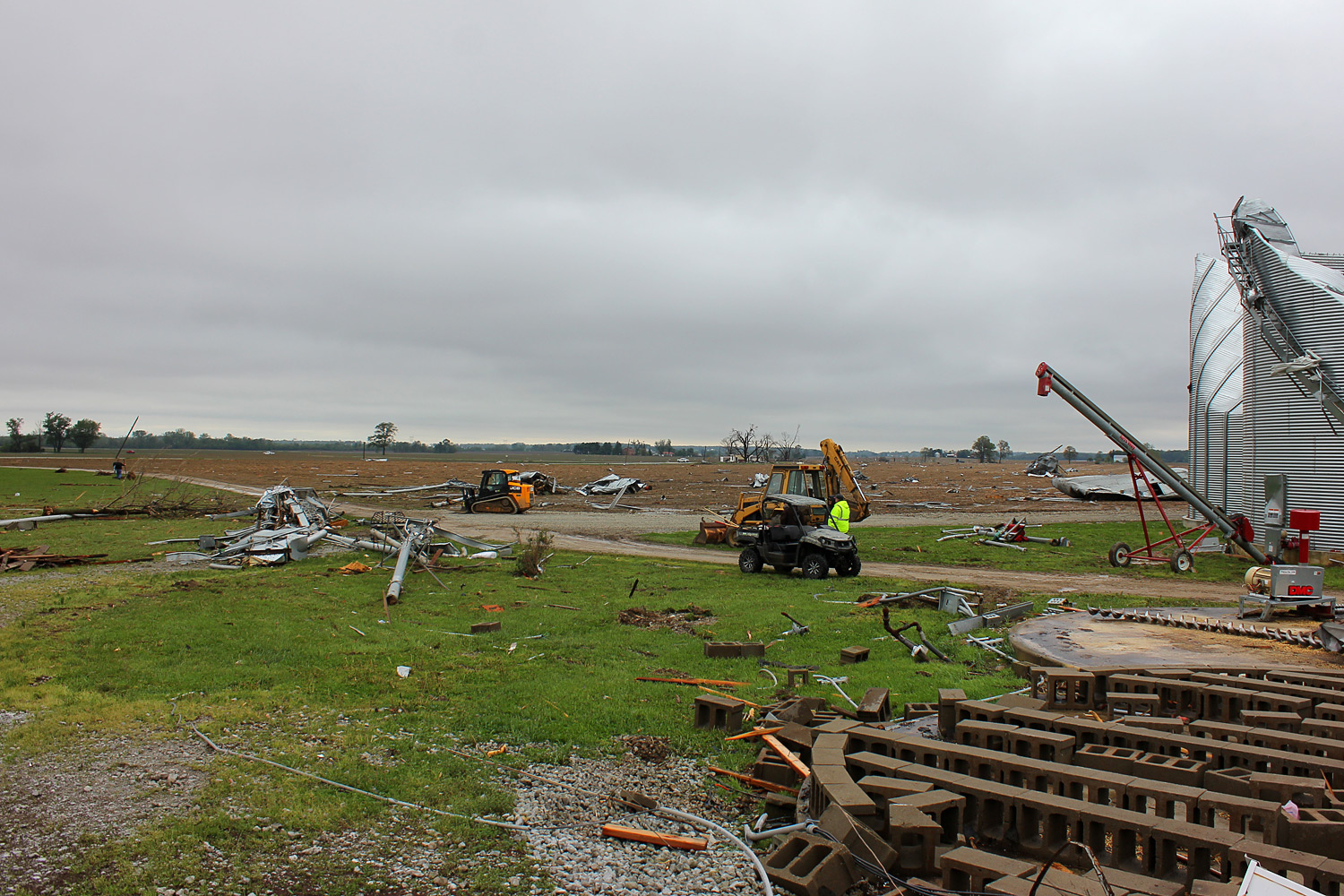
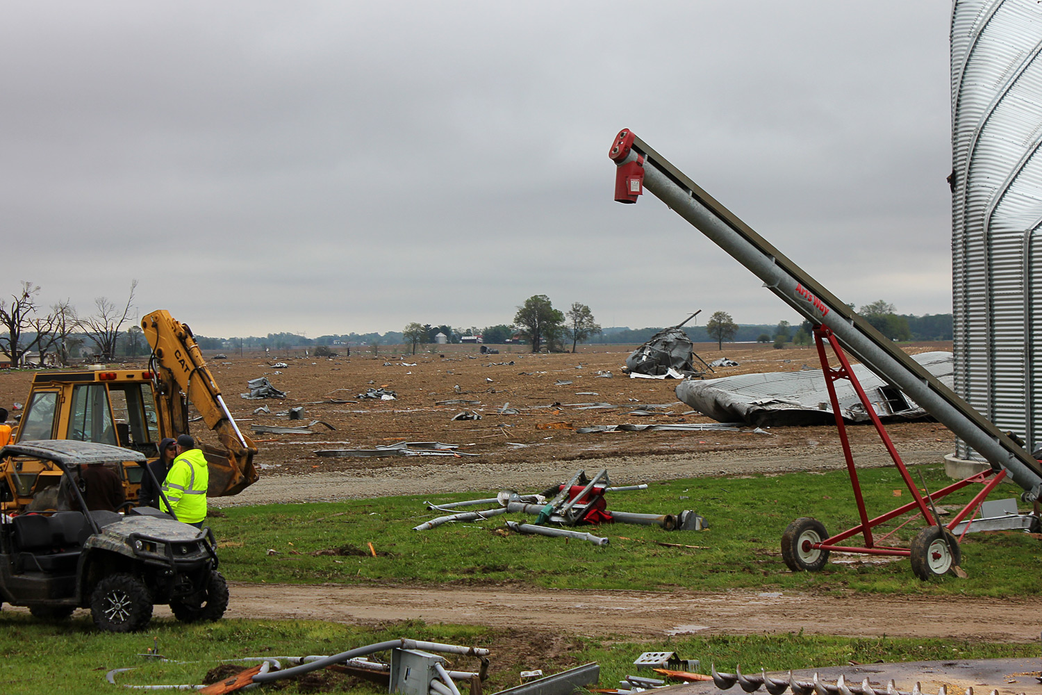
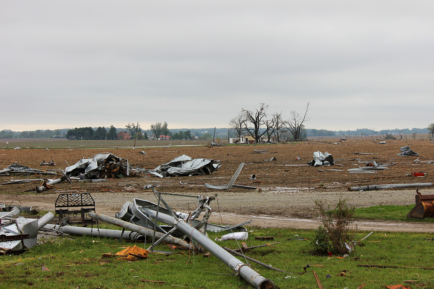
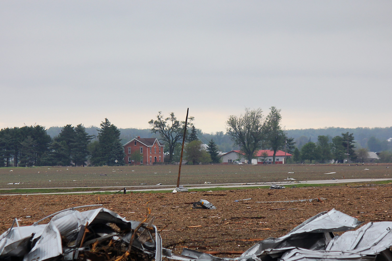
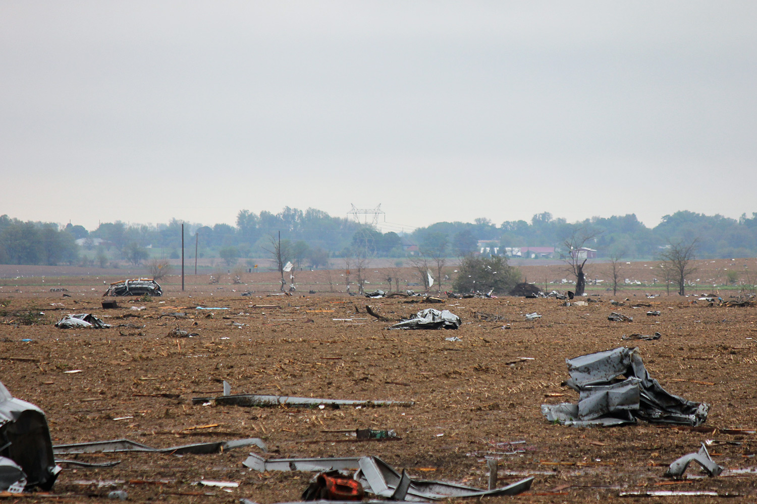
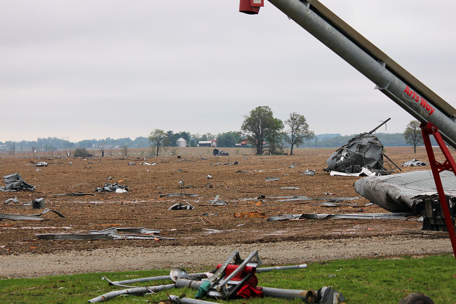
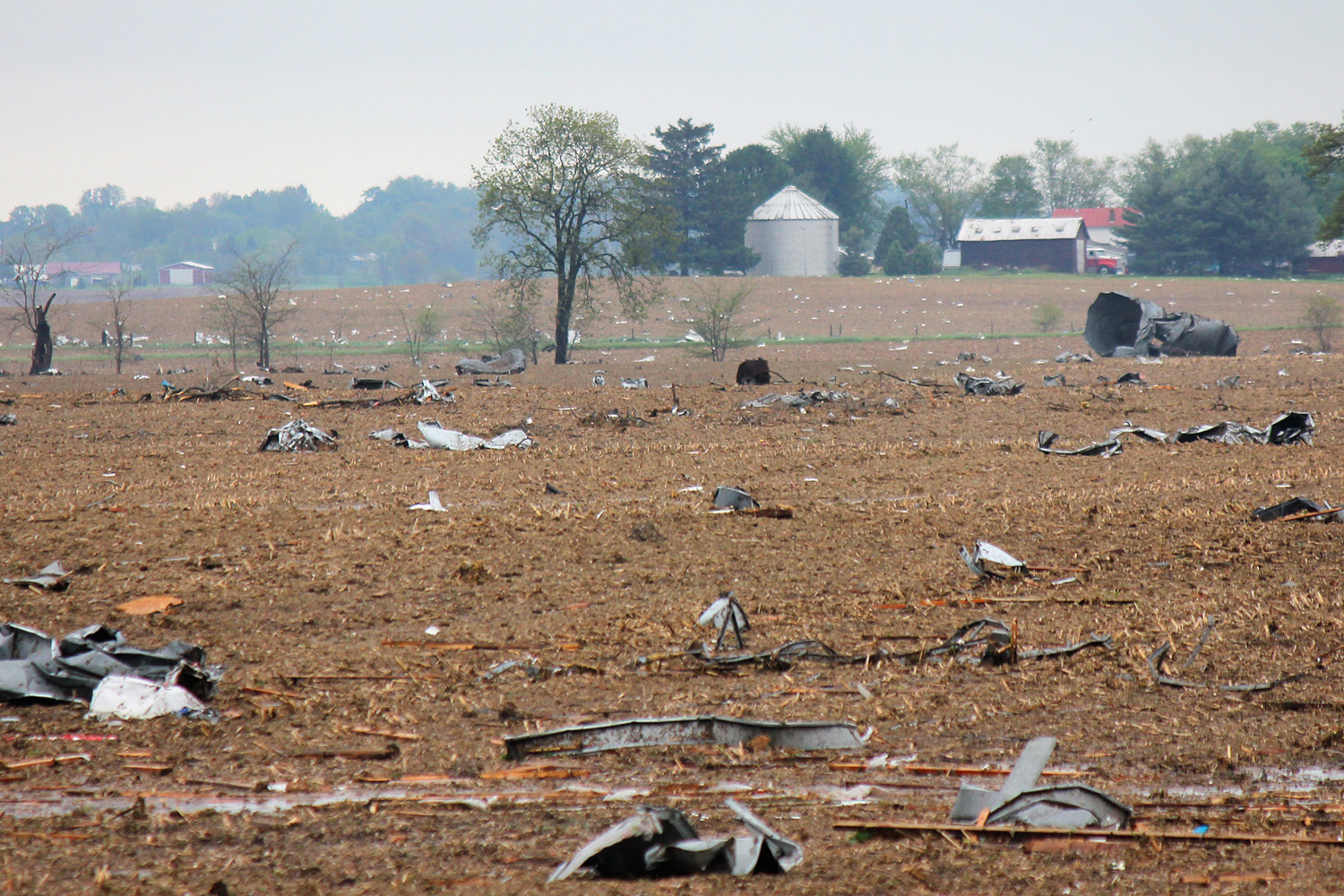
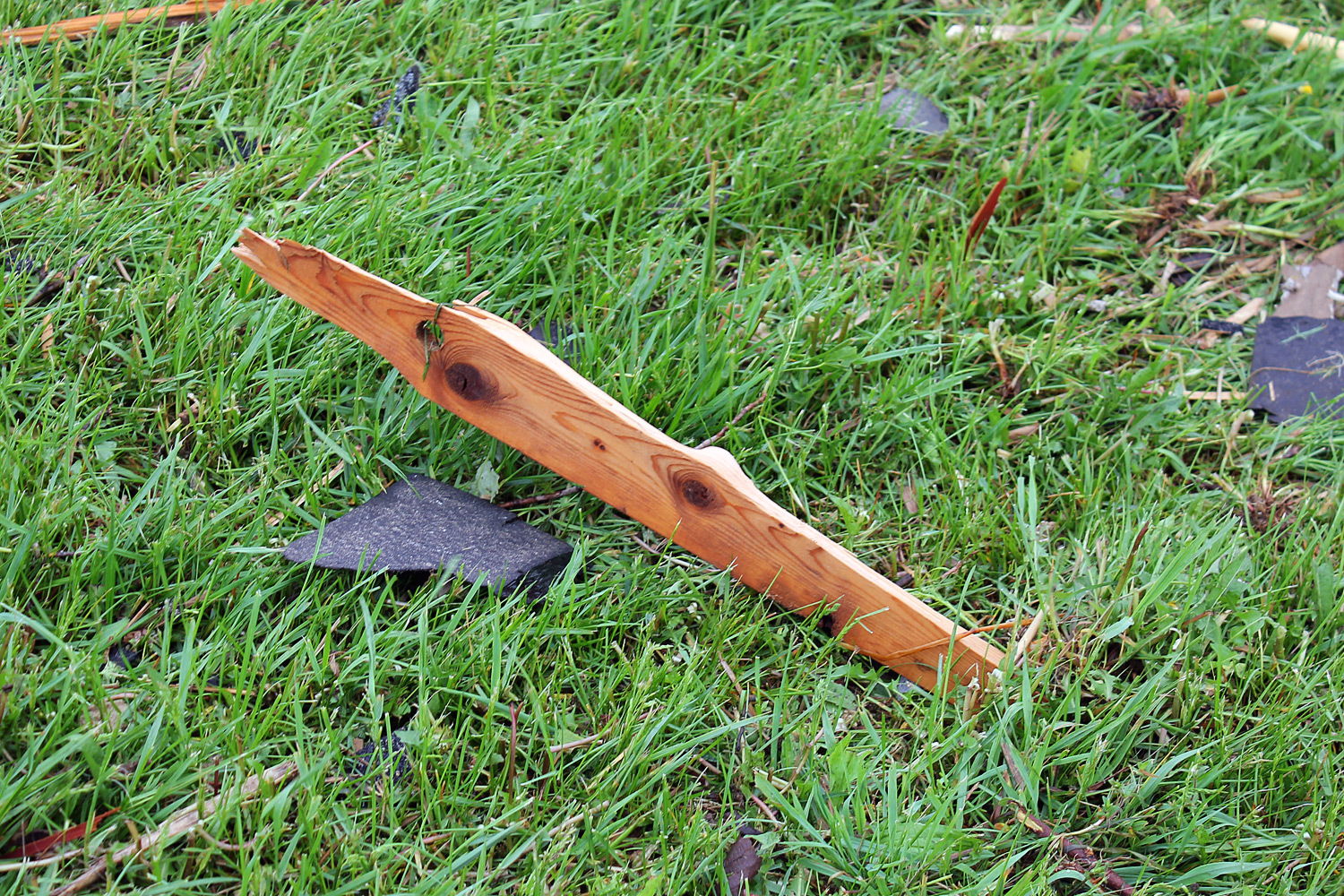
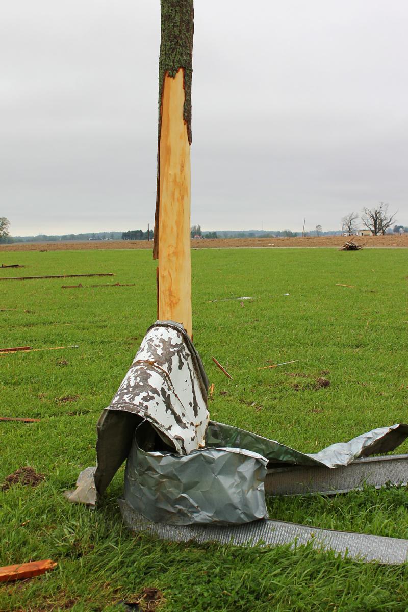
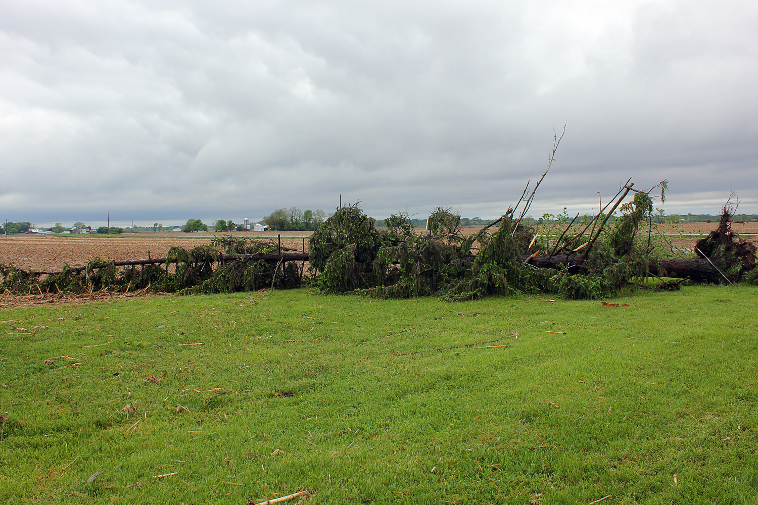
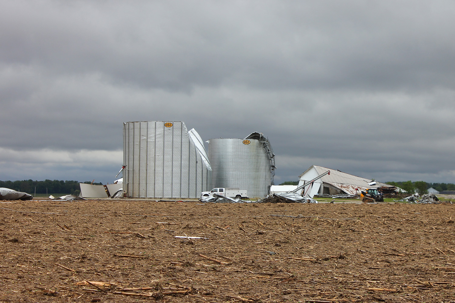
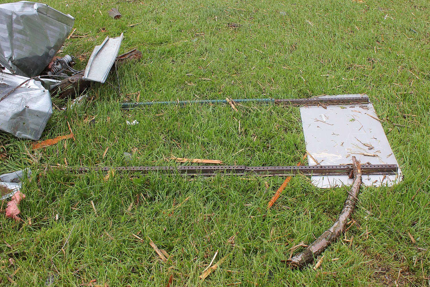
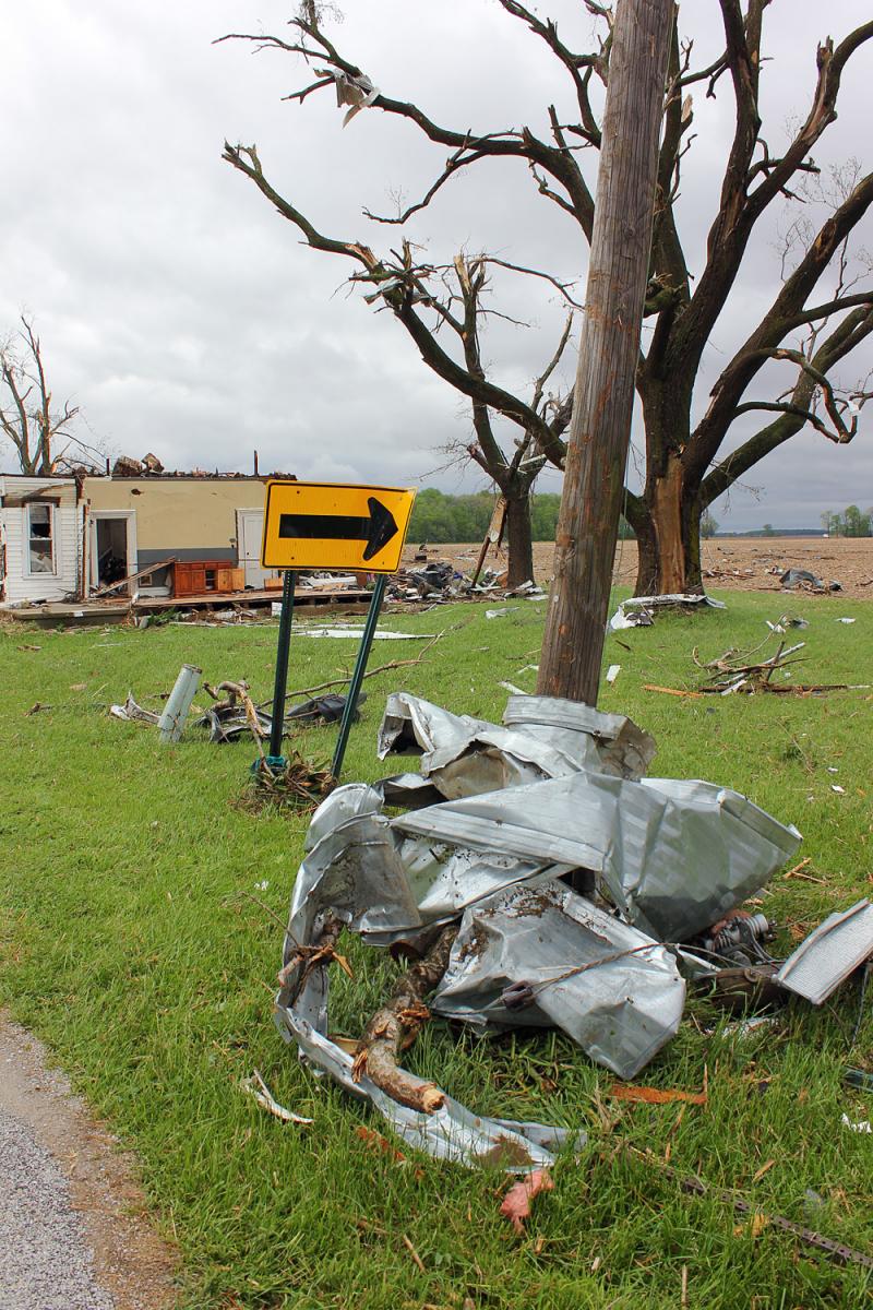
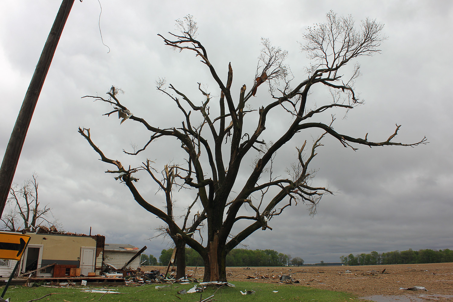
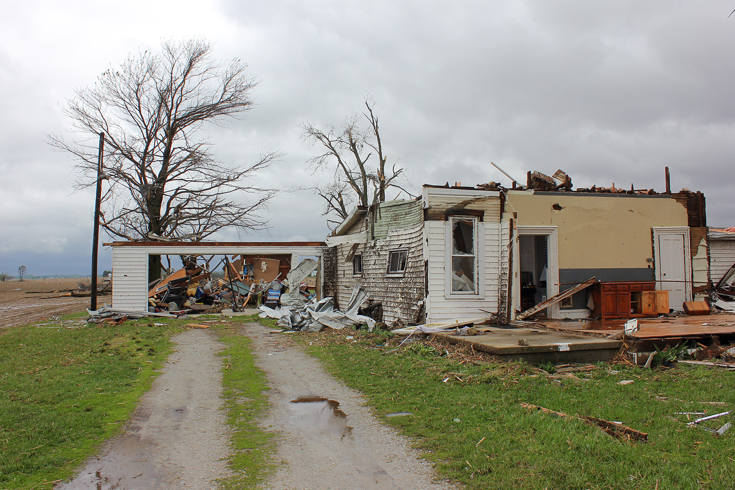
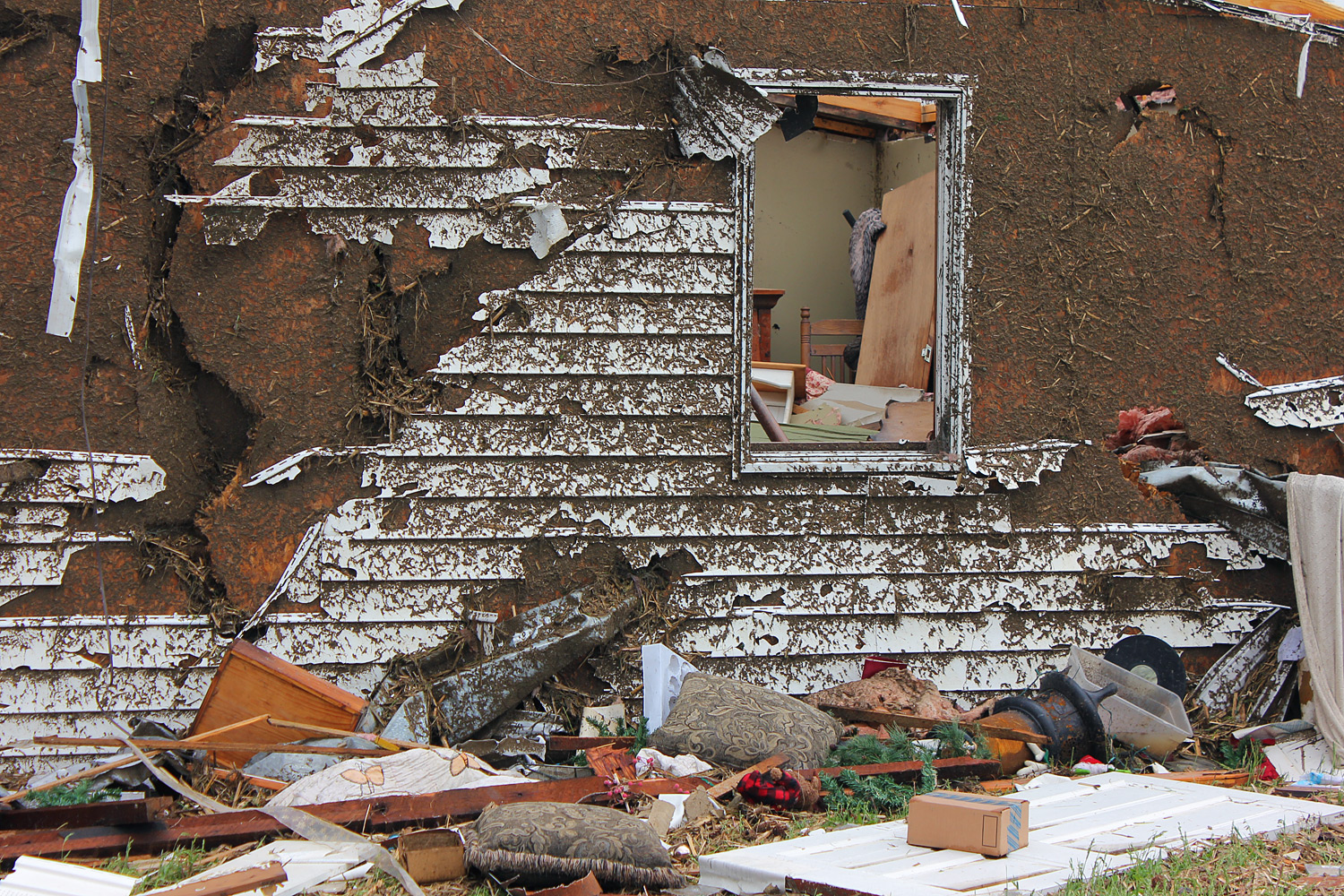
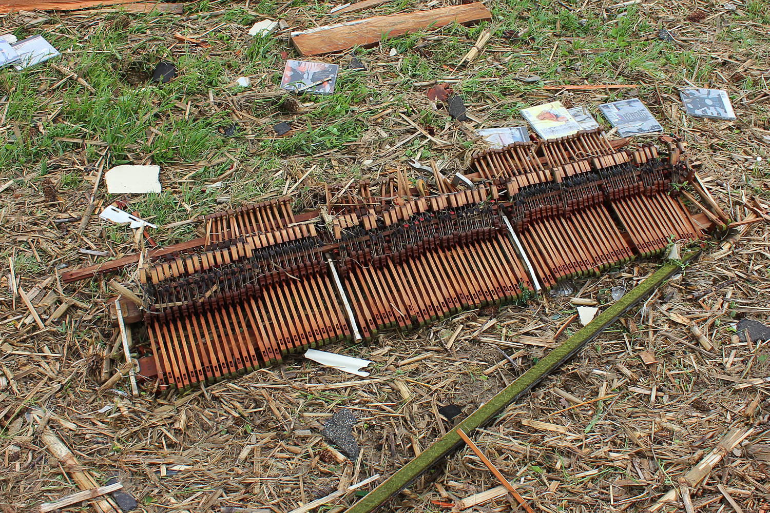
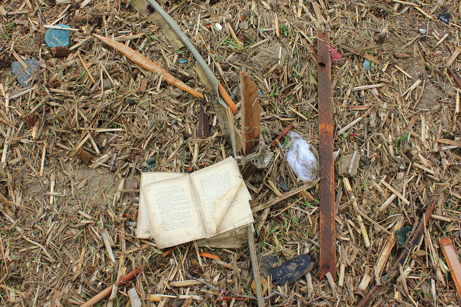
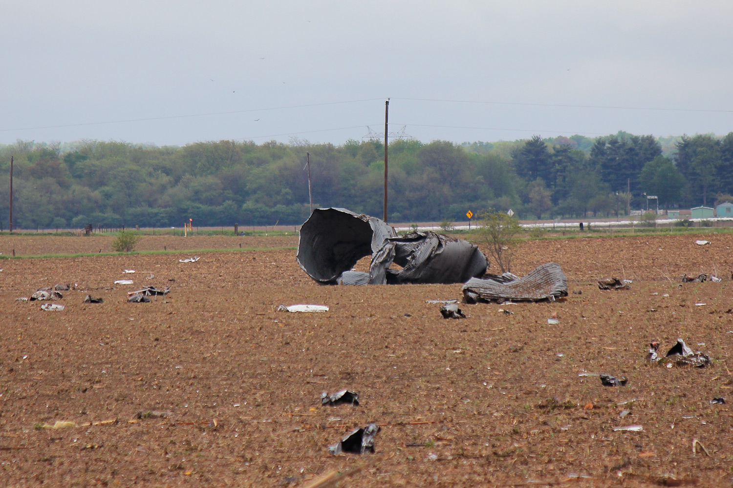
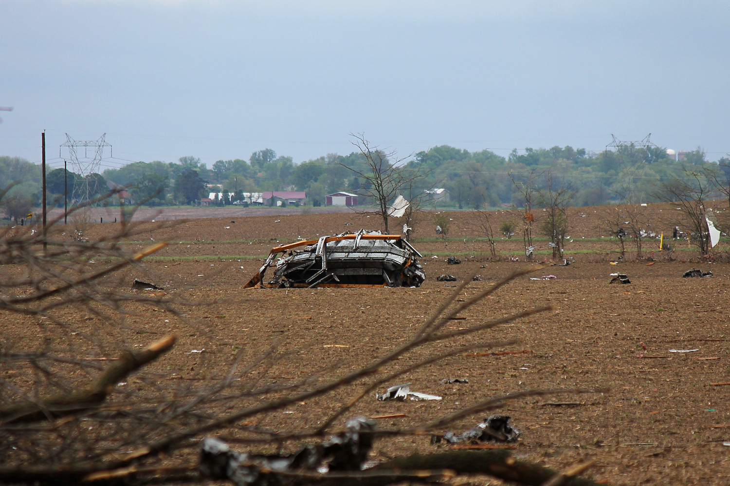
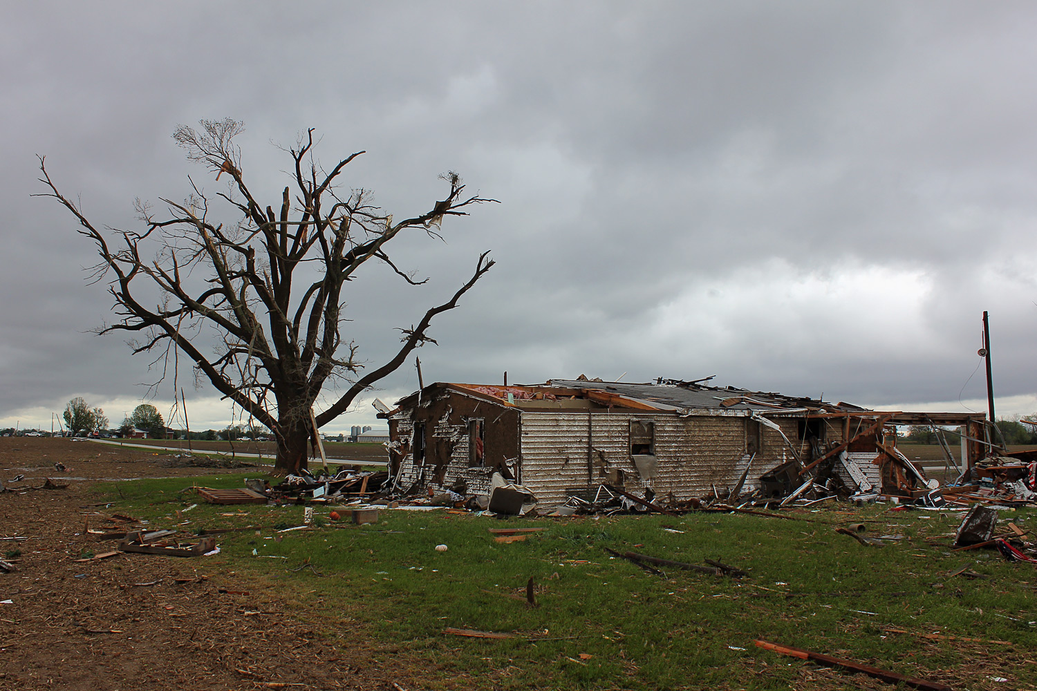
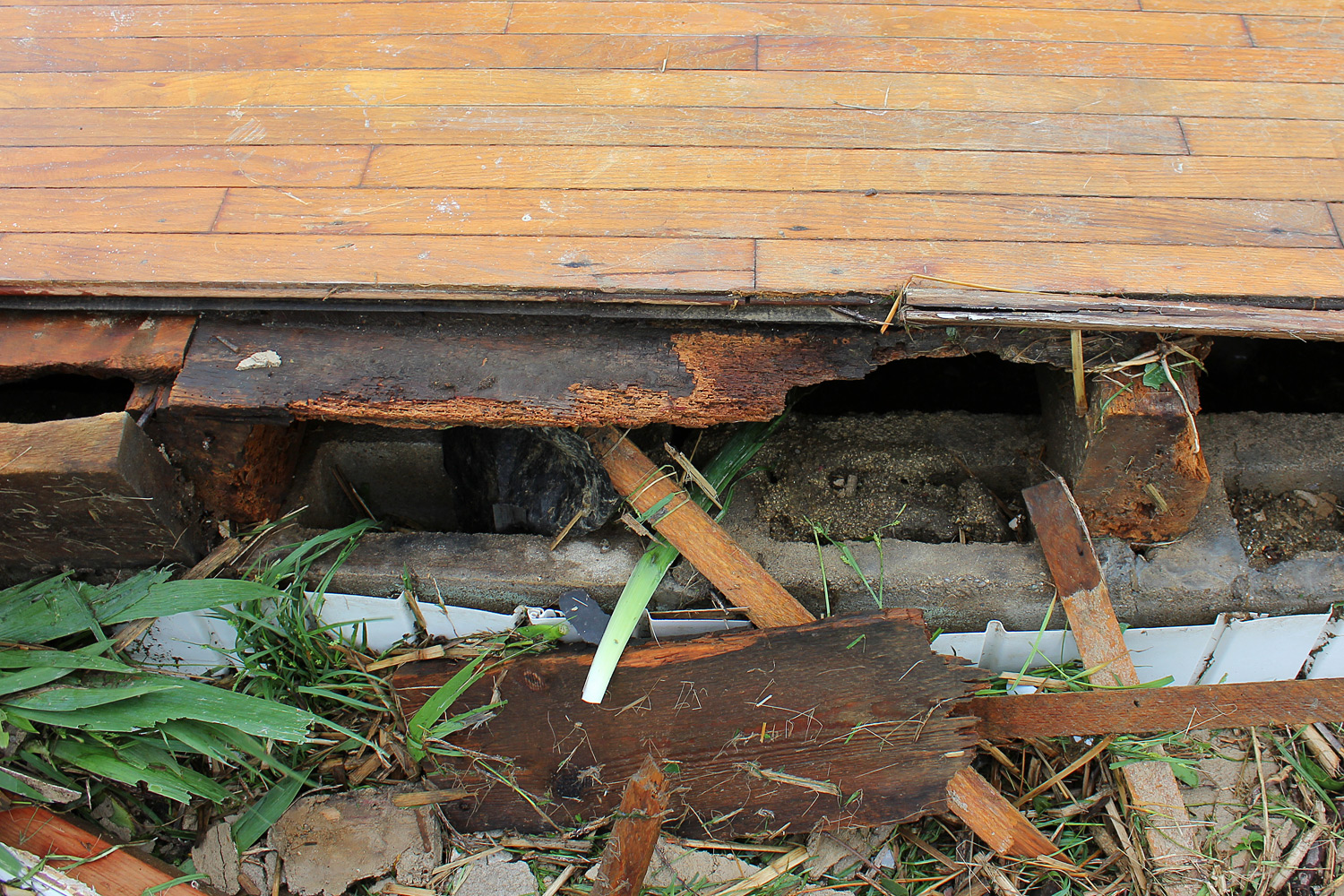
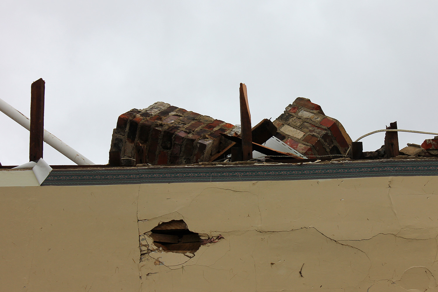
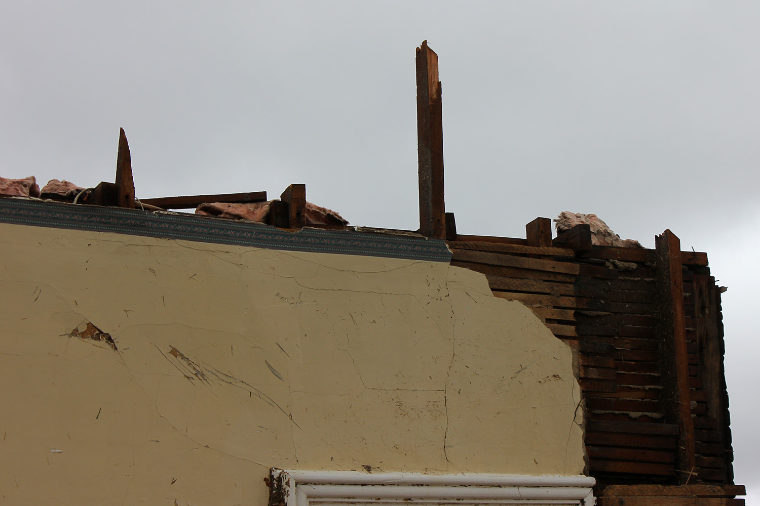
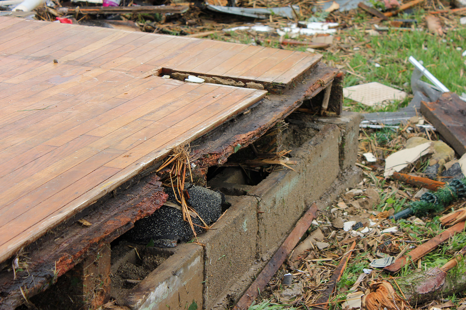
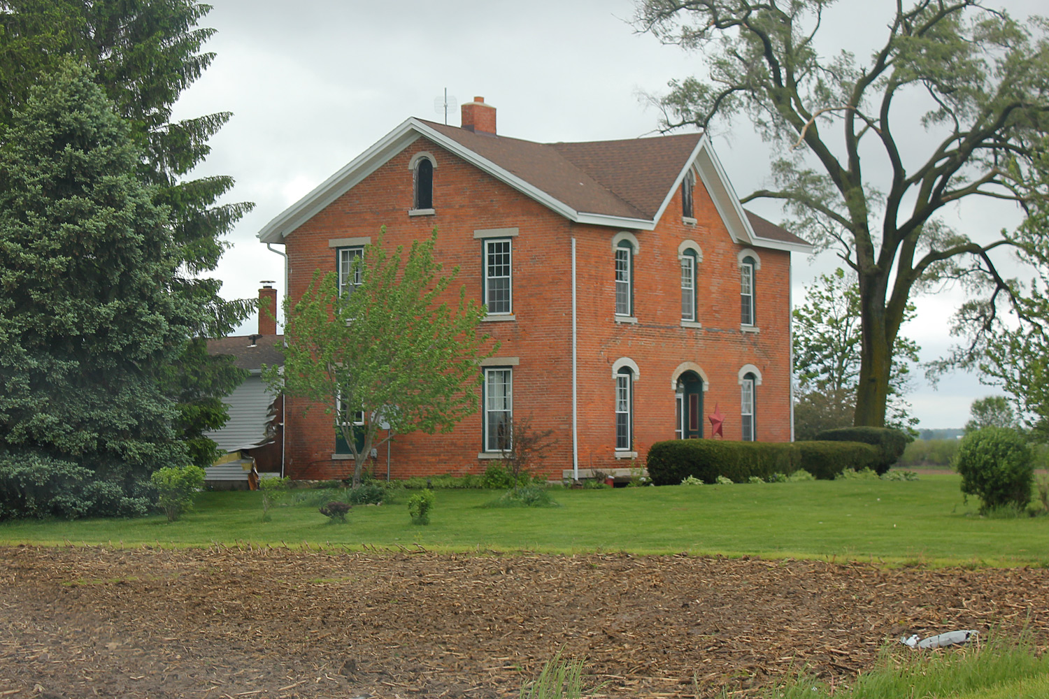
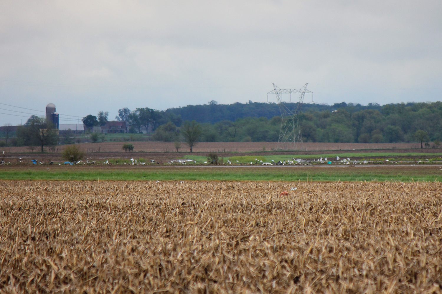
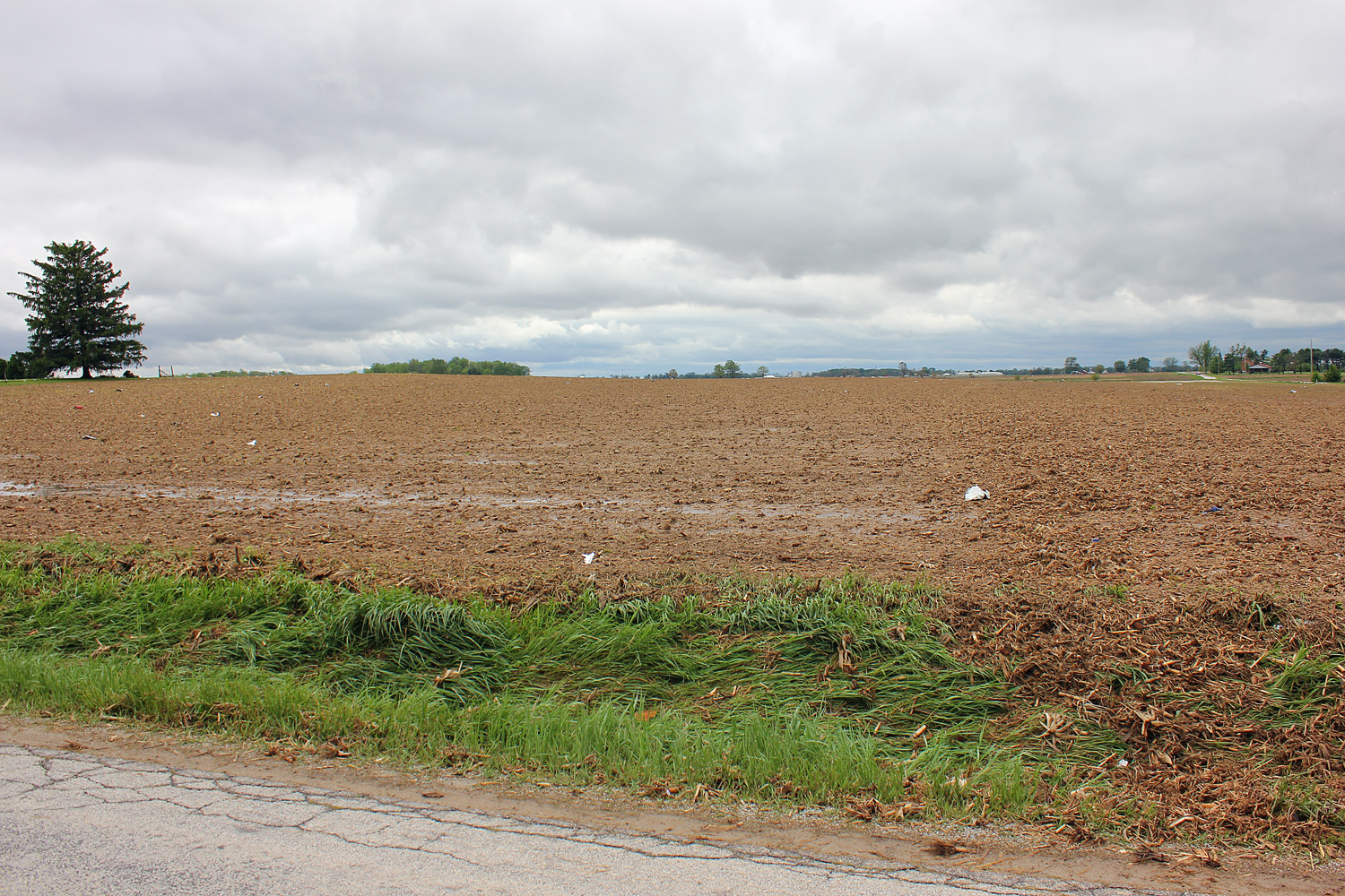
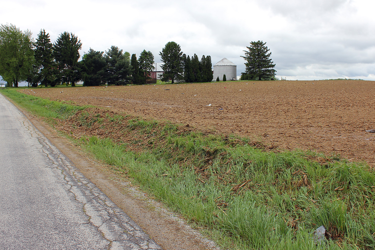
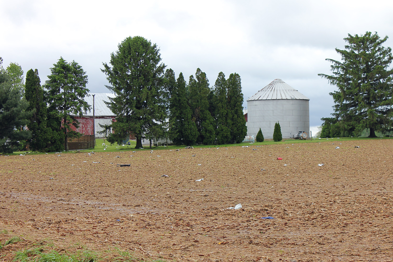
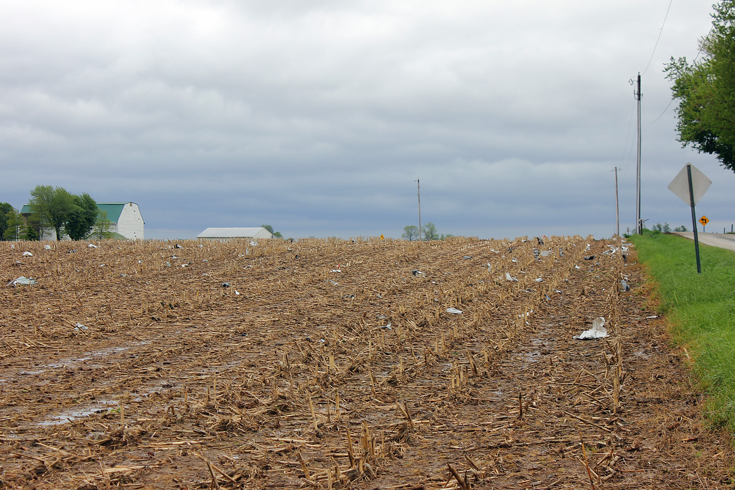
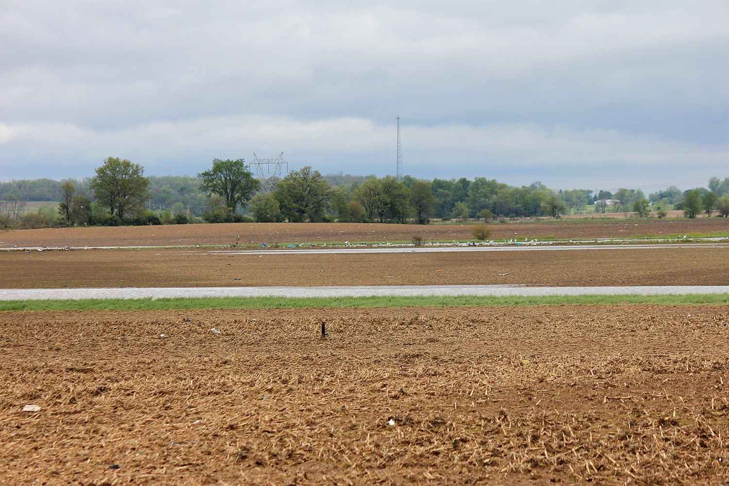
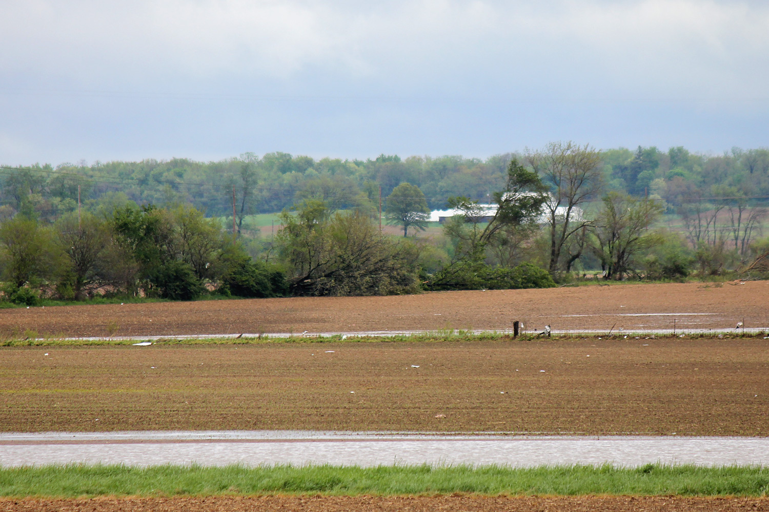
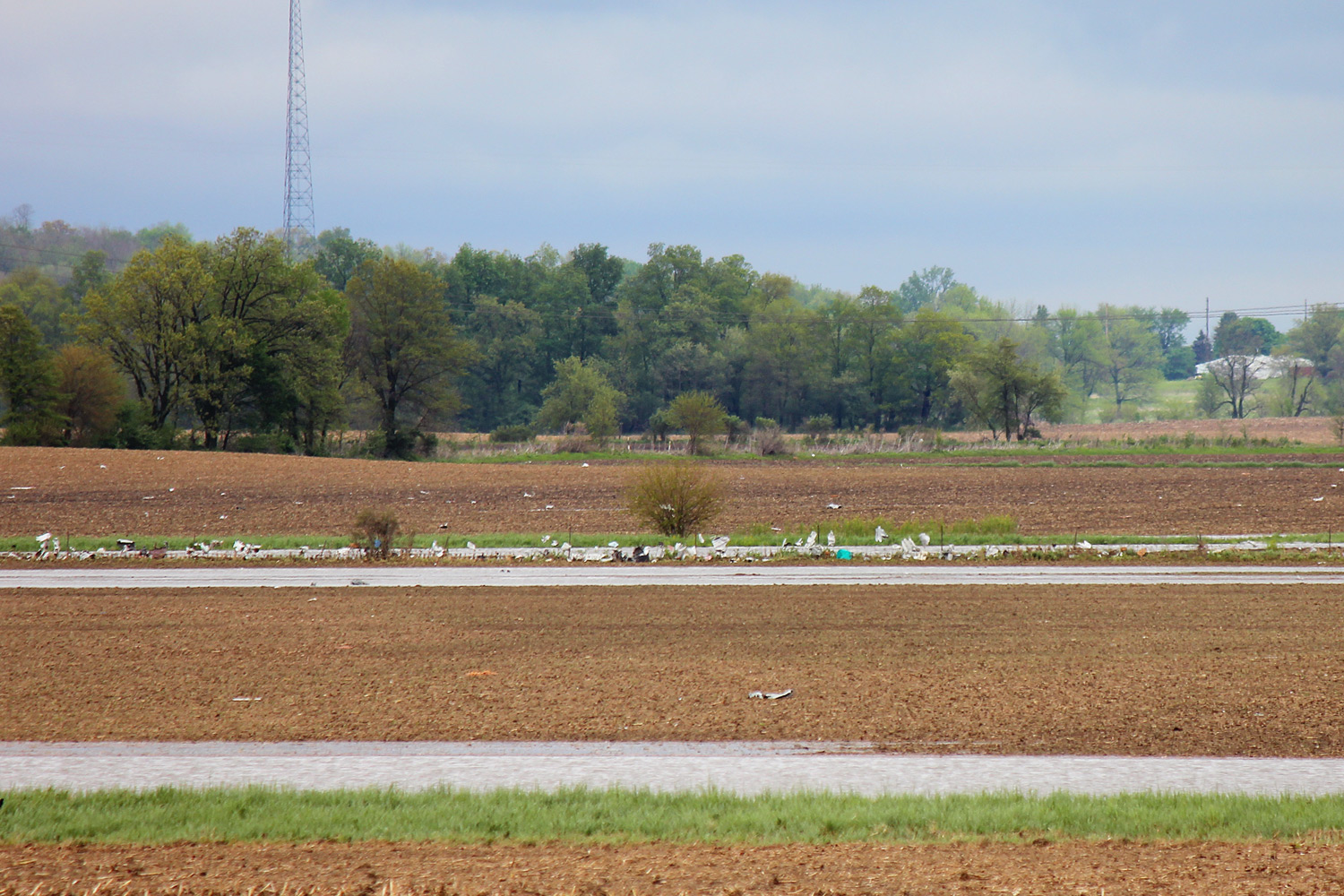
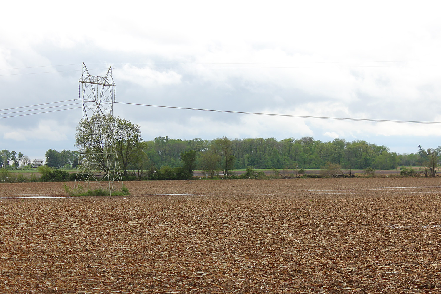
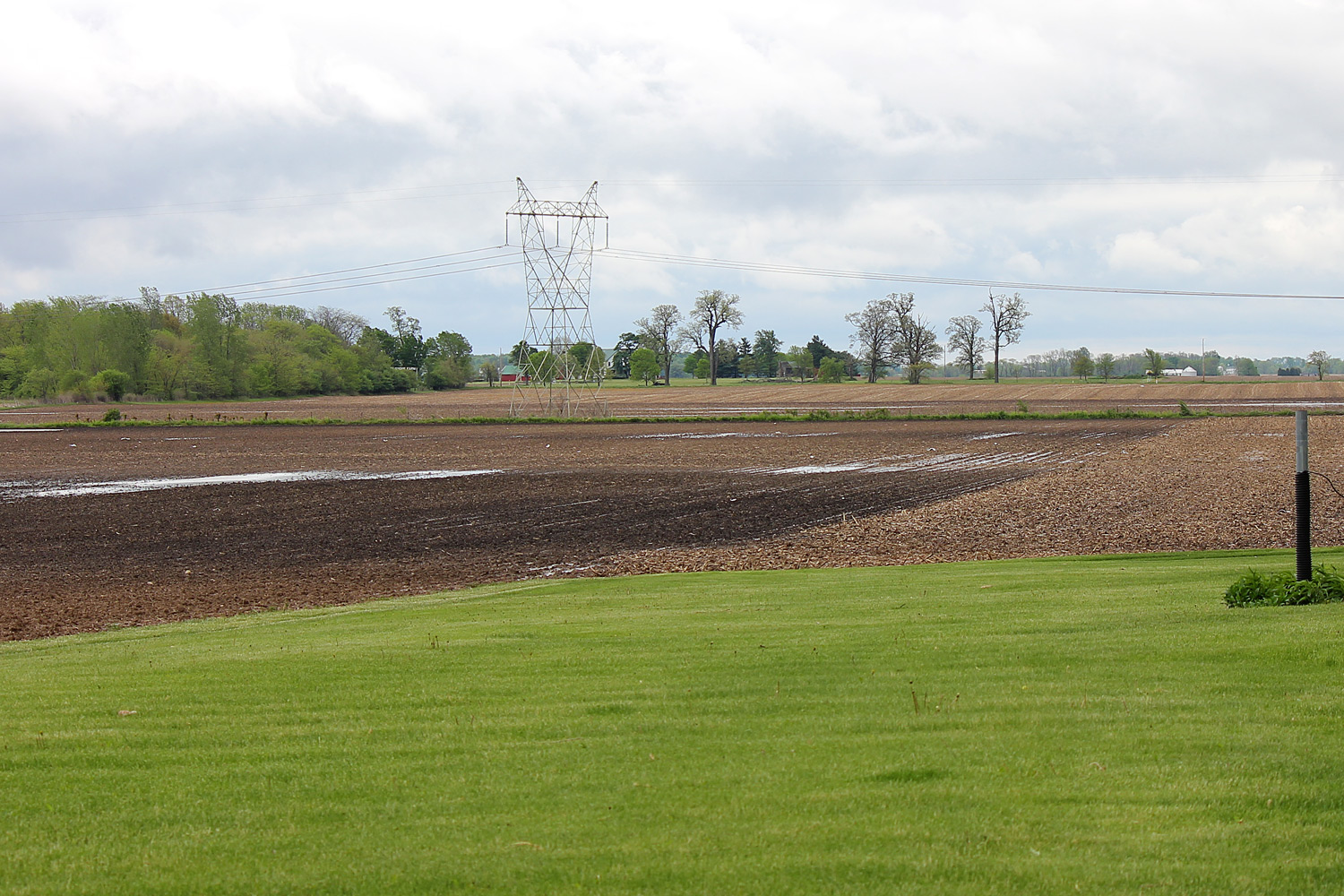
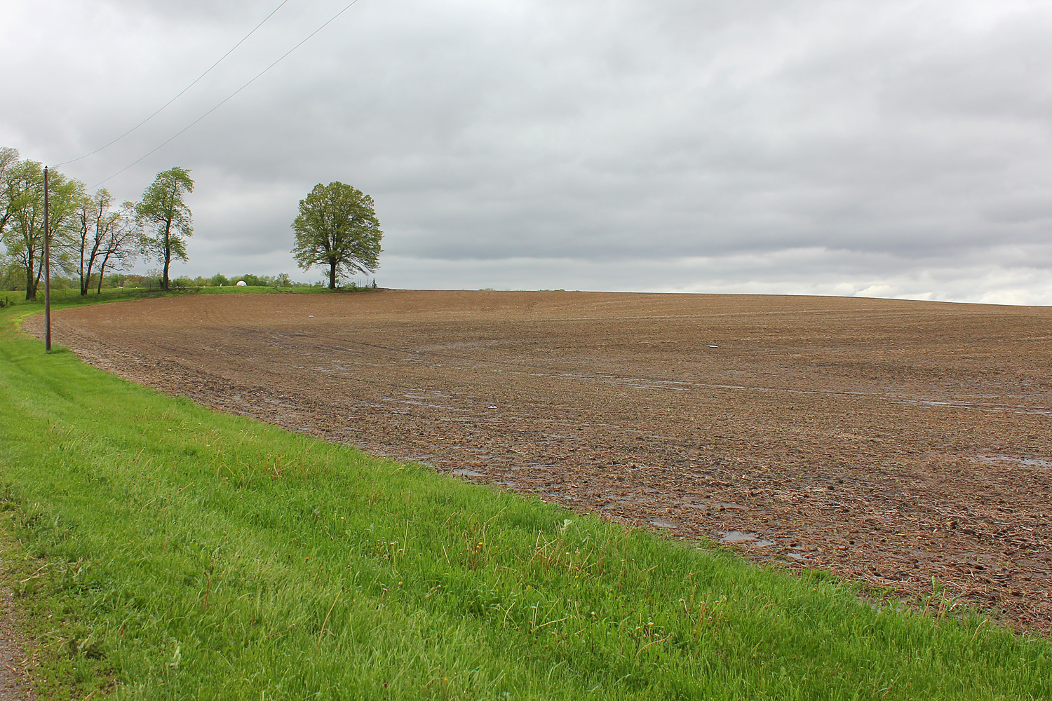
| Pictures from the storm survey: | |||
 |
 |
 |
 |
 |
 |
 |
 |
 |
 |
 |
 |
 |
 |
 |
 |
 |
 |
 |
 |
 |
 |
 |
 |
 |
 |
 |
 |
 |
 |
 |
 |
 |
 |
 |
 |
 |
 |
 |
 |
 |
 |
 |
 |
 |
 |
 |
 |
 |
 |
 |
 |
 |
 |
 |
 |
 |
 |
 |
 |
 |
 |
 |
 |
 |
 |
 |
 |
 |
 |
 |
 |
 |
 |
 |
 |
 |
 |
 |
 |
 |
 |
 |
 |
 |
 |
 |
 |
 |
 |
 |
 |
 |
 |
 |
 |
 |
 |
 |
 |
 |
 |
 |
 |
 |
 |
 |
 |
 |
 |
 |
 |
 |
 |
 |
 |
 |
 |
 |
 |
 |
 |
 |
 |
 |
 |
 |
 |
 |
 |
 |
 |
 |
 |
 |
 |
 |
 |
 |
 |
 |
 |
 |
 |
 |
 |
 |
 |
 |
 |
 |
 |
 |
 |
 |
 |
 |
 |
 |
 |
 |
 |
 |
 |
 |
 |
||

