PUBLIC INFORMATION STATEMENT
National Weather Service Wilmington OH
403 PM EDT Mon Apr 15 2019
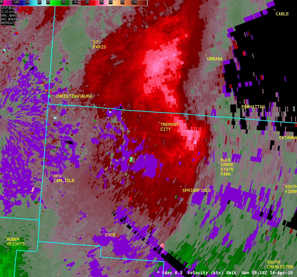
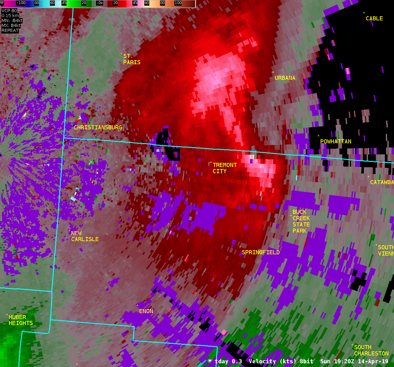
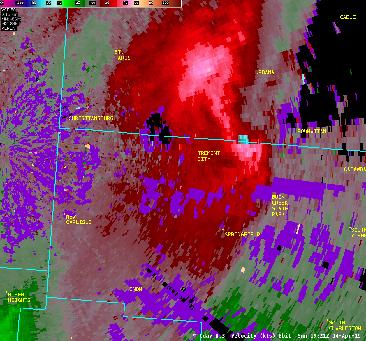
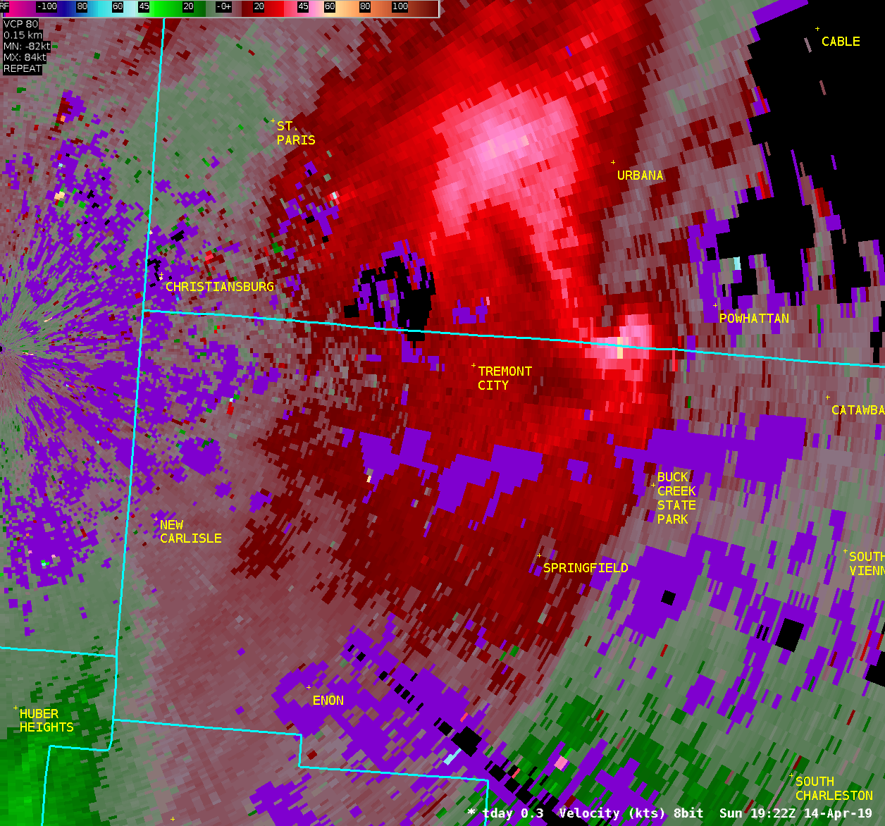
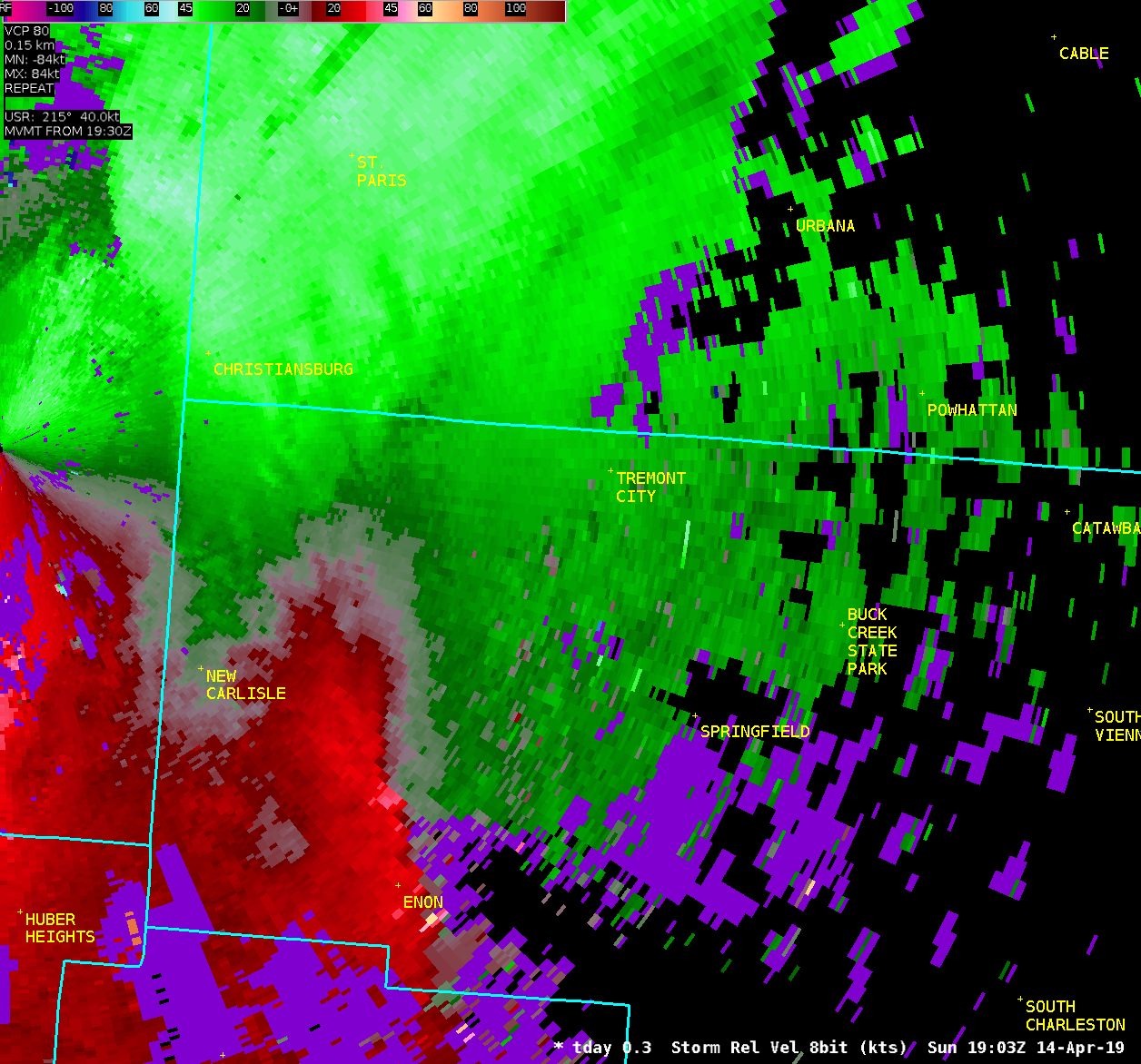
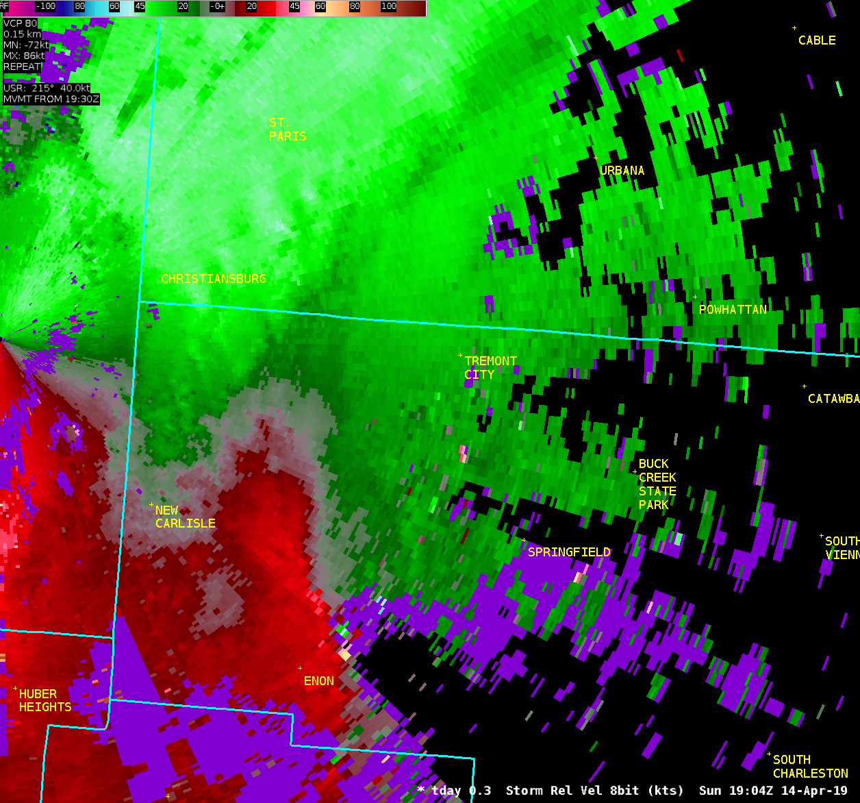
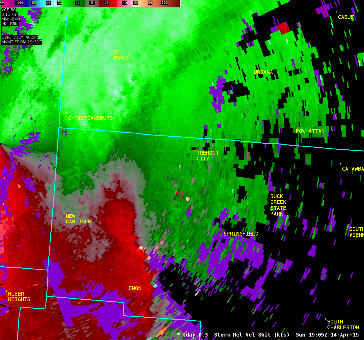
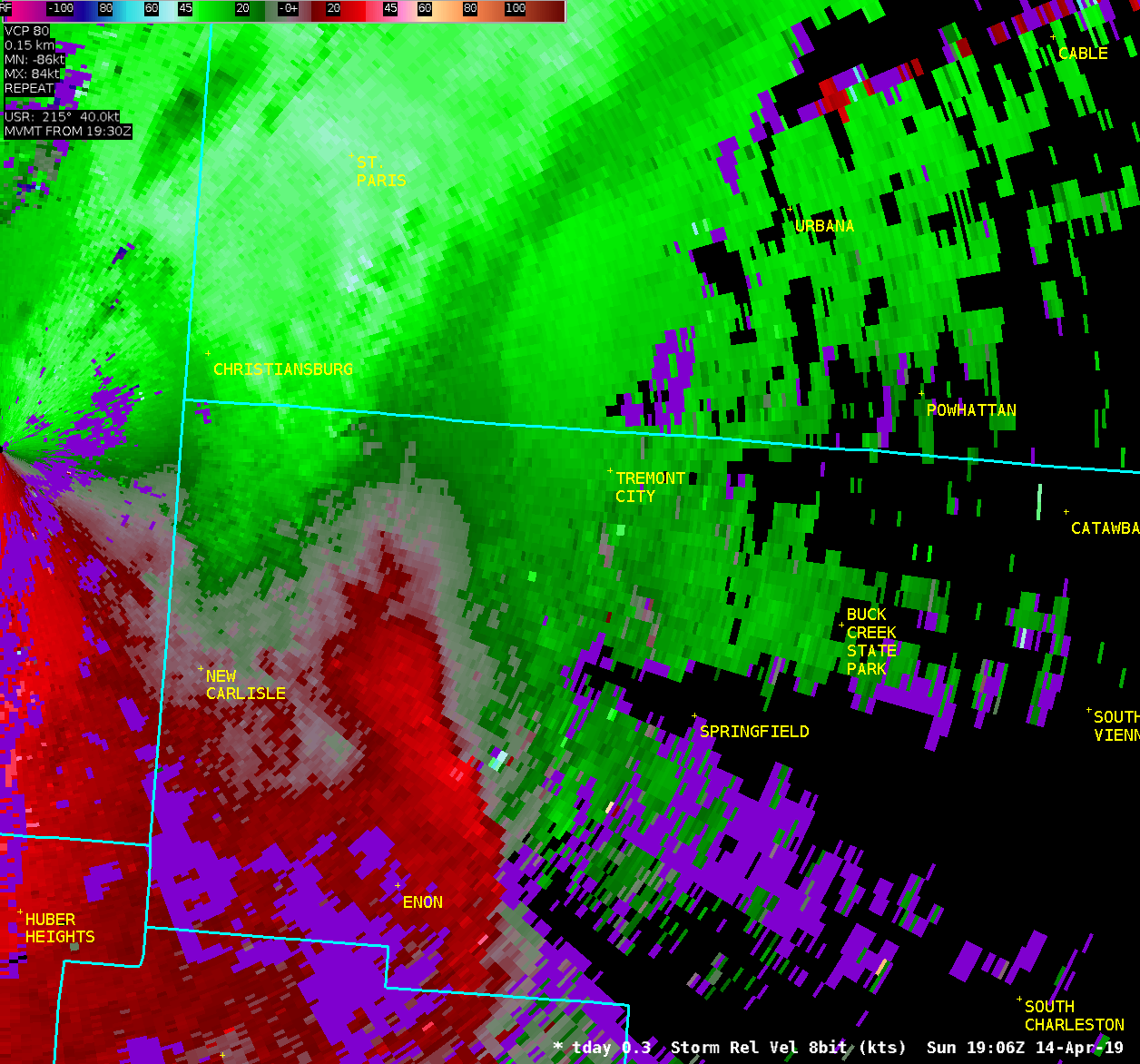
...EF0 TORNADO CONFIRMED IN CLARK COUNTY OHIO...
Location...German Township and Springfield in Clark County OH
Date...........................April 14 2019
Start Time.....................312 PM
End Time.......................315 PM
Maximum EF-Scale Rating........EF0
Estimated Maximum Wind Speed...70 mph
Maximum Path Width.............80 yards
Path Length....................2.7 miles
Beginning Lat/Lon..............39.9602 / -83.8561
Ending Lat/Lon.................39.9771 / -83.8105
* Fatalities...0
* Injuries.....0
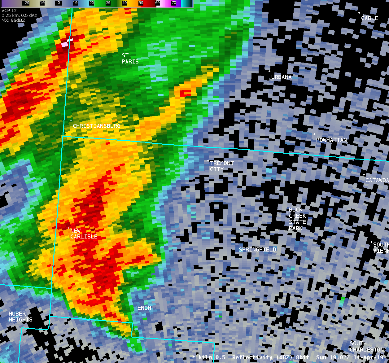
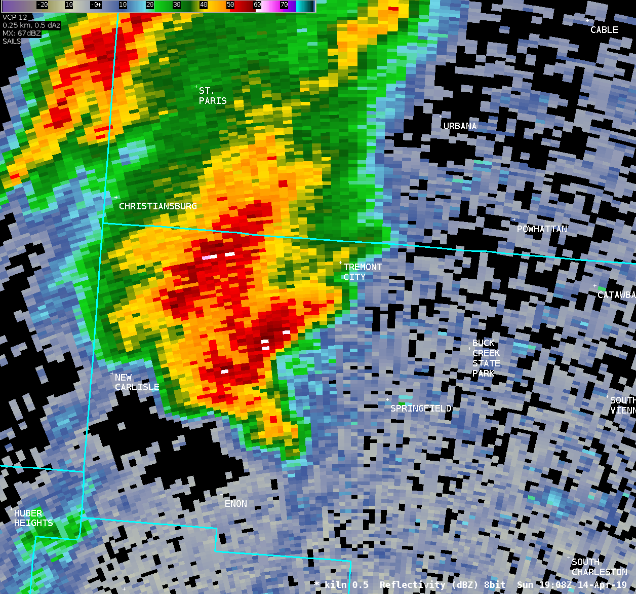
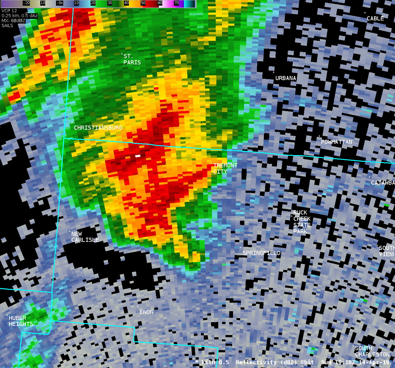
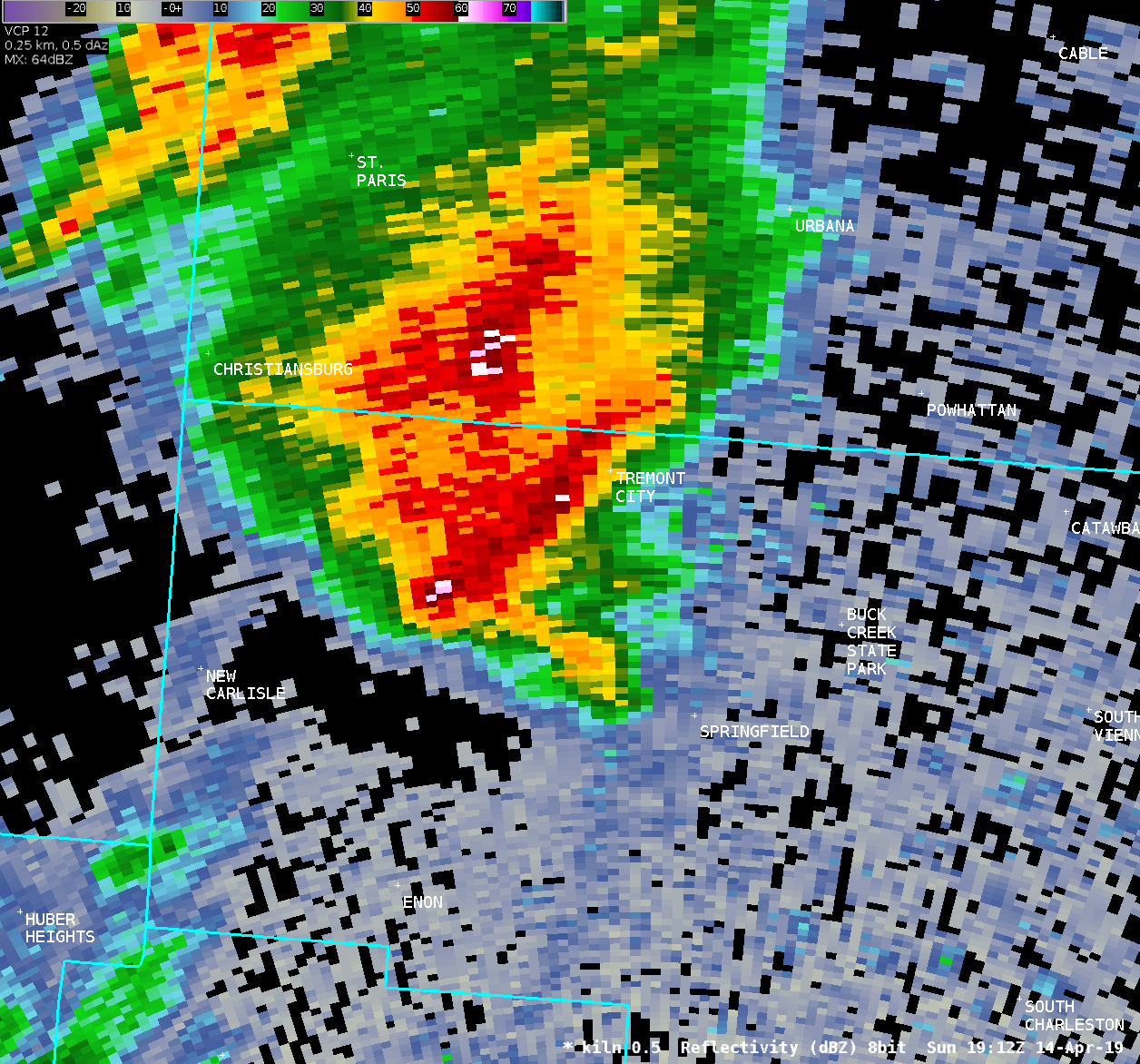
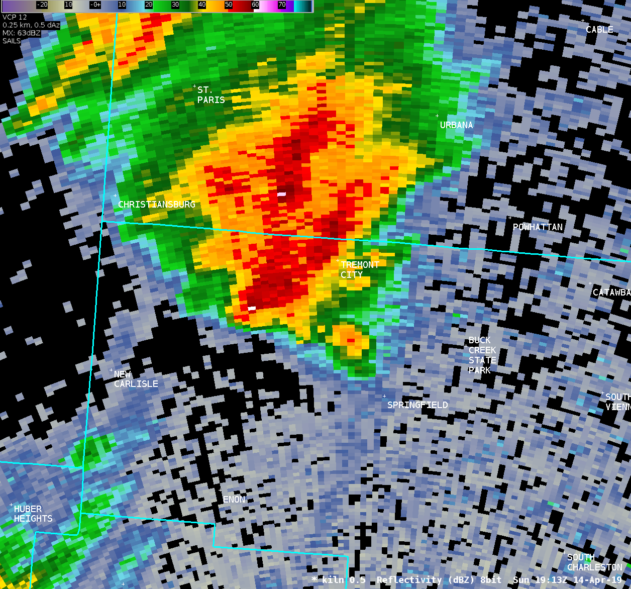
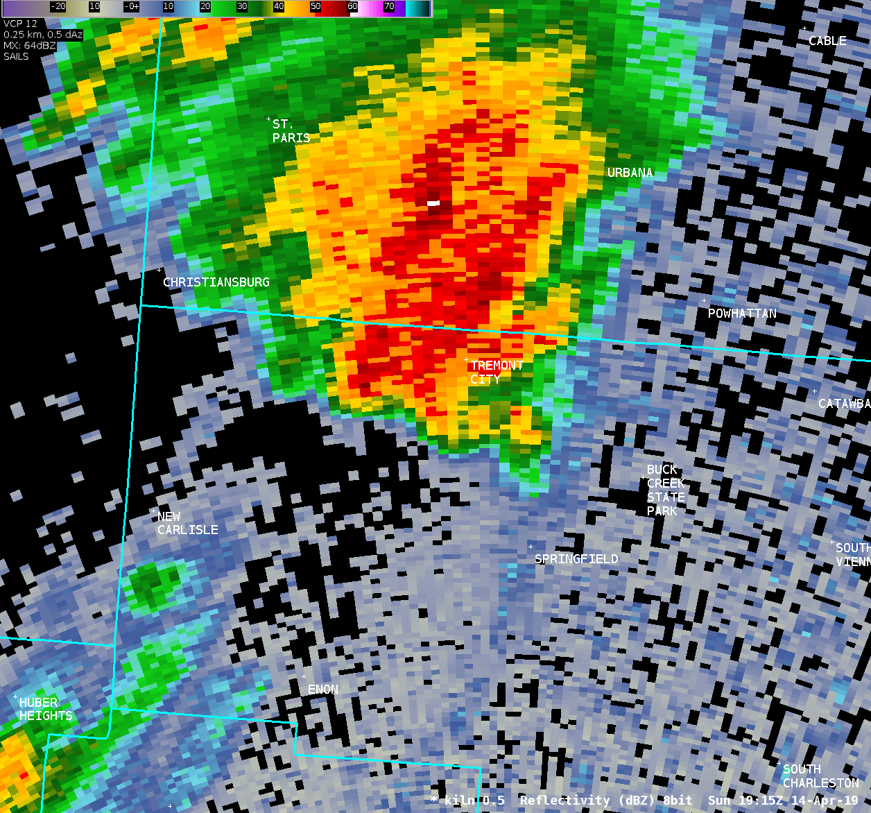
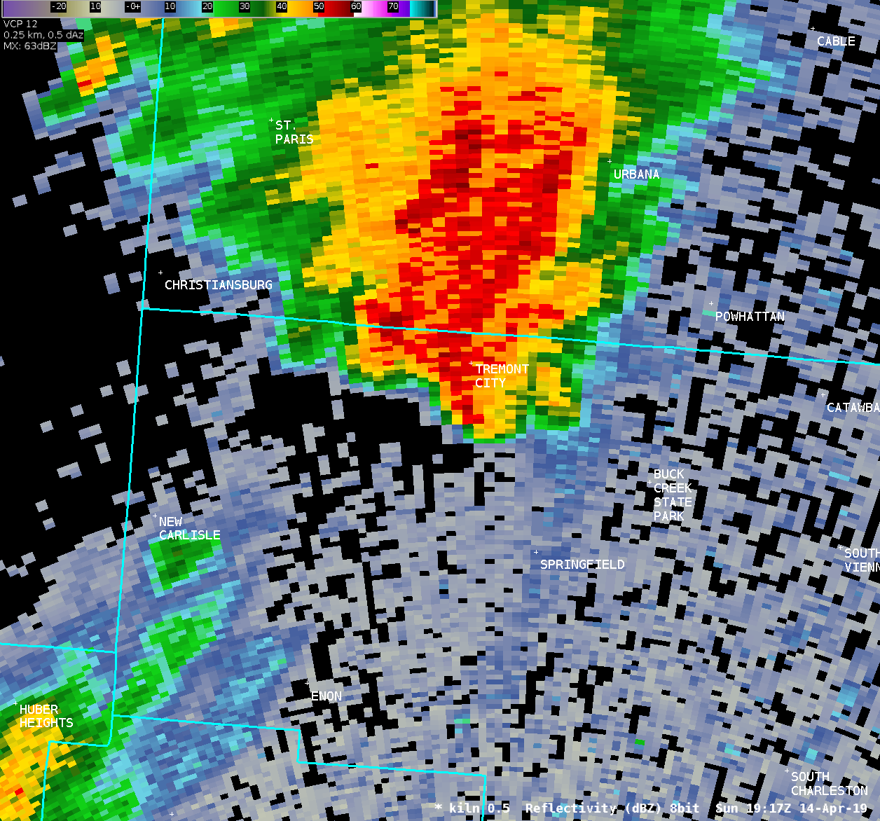
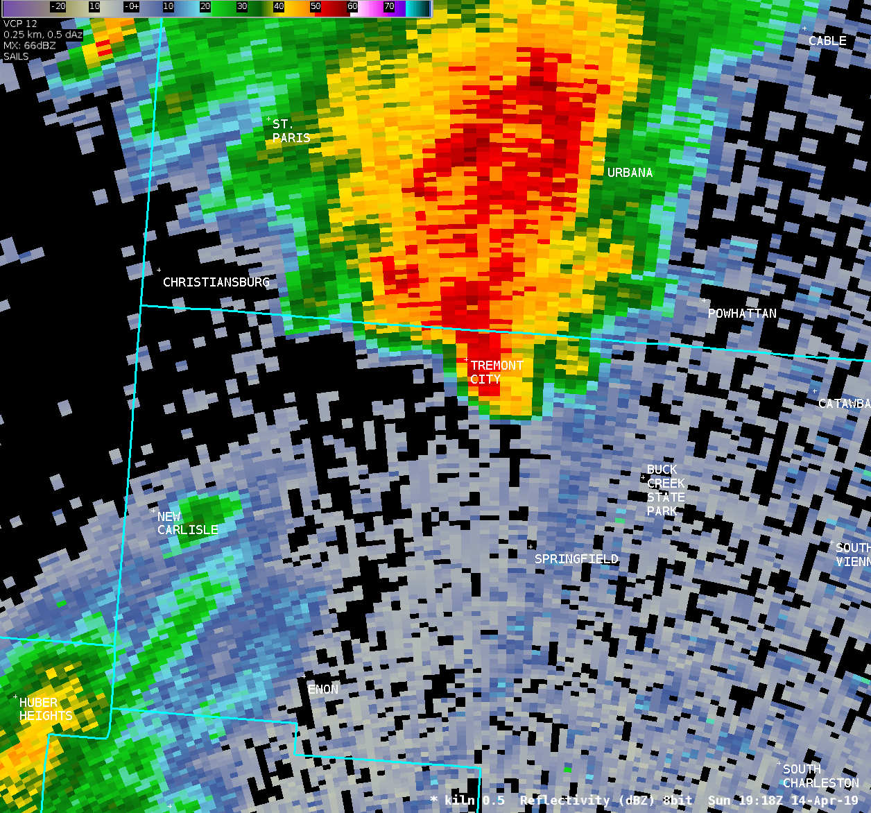
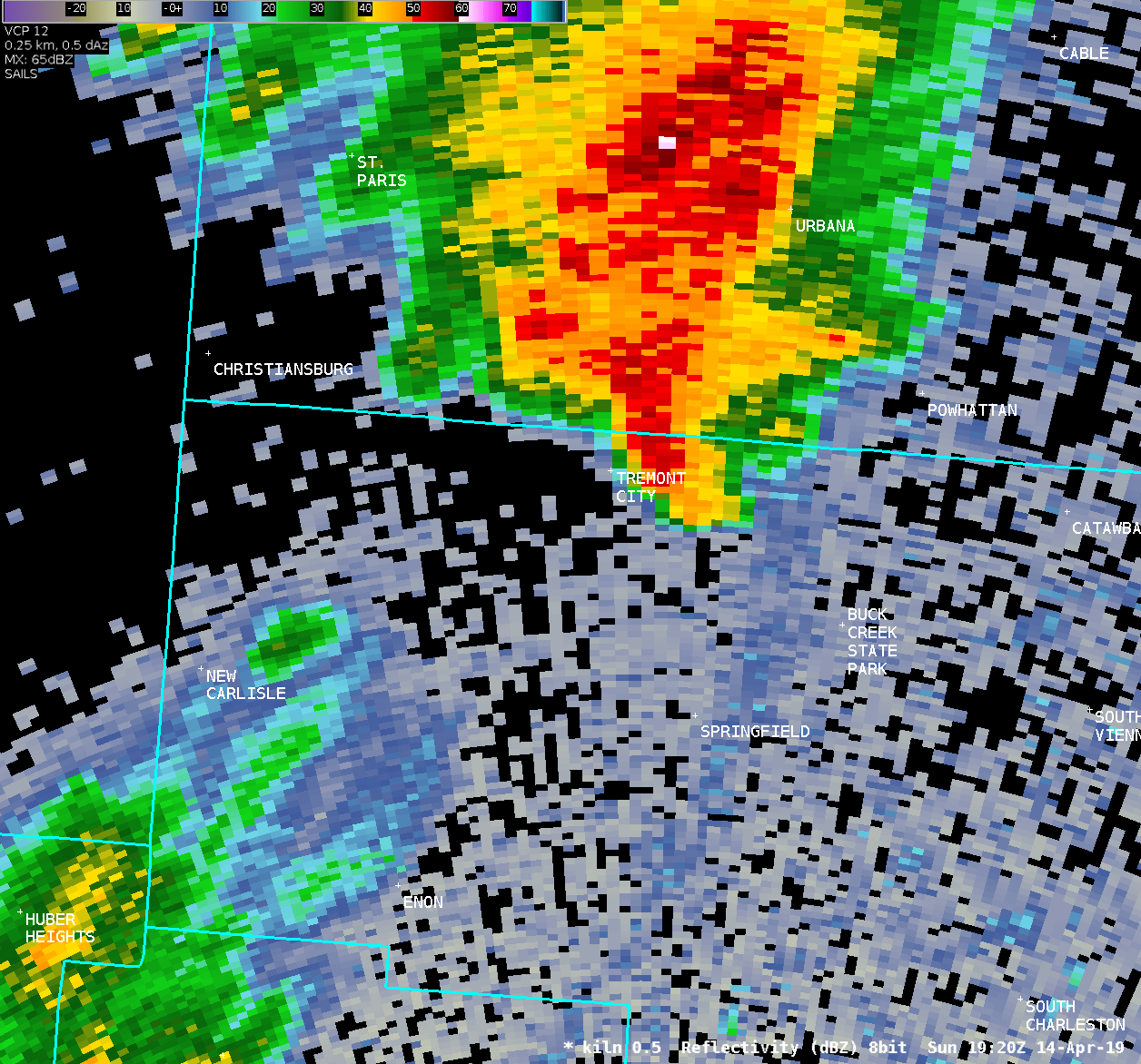
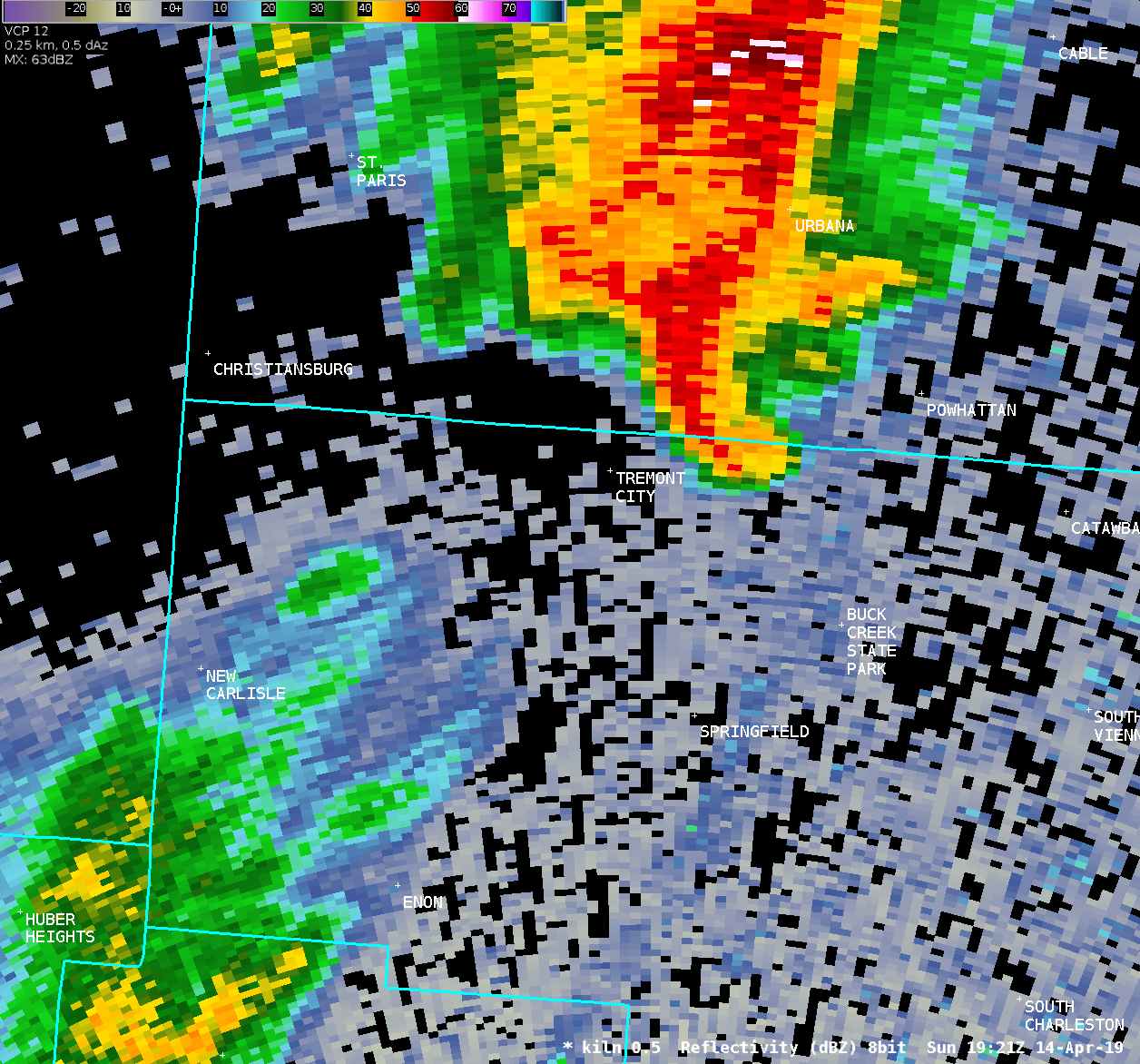
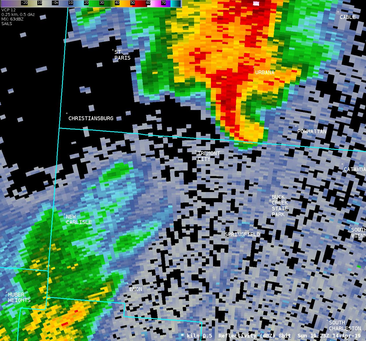
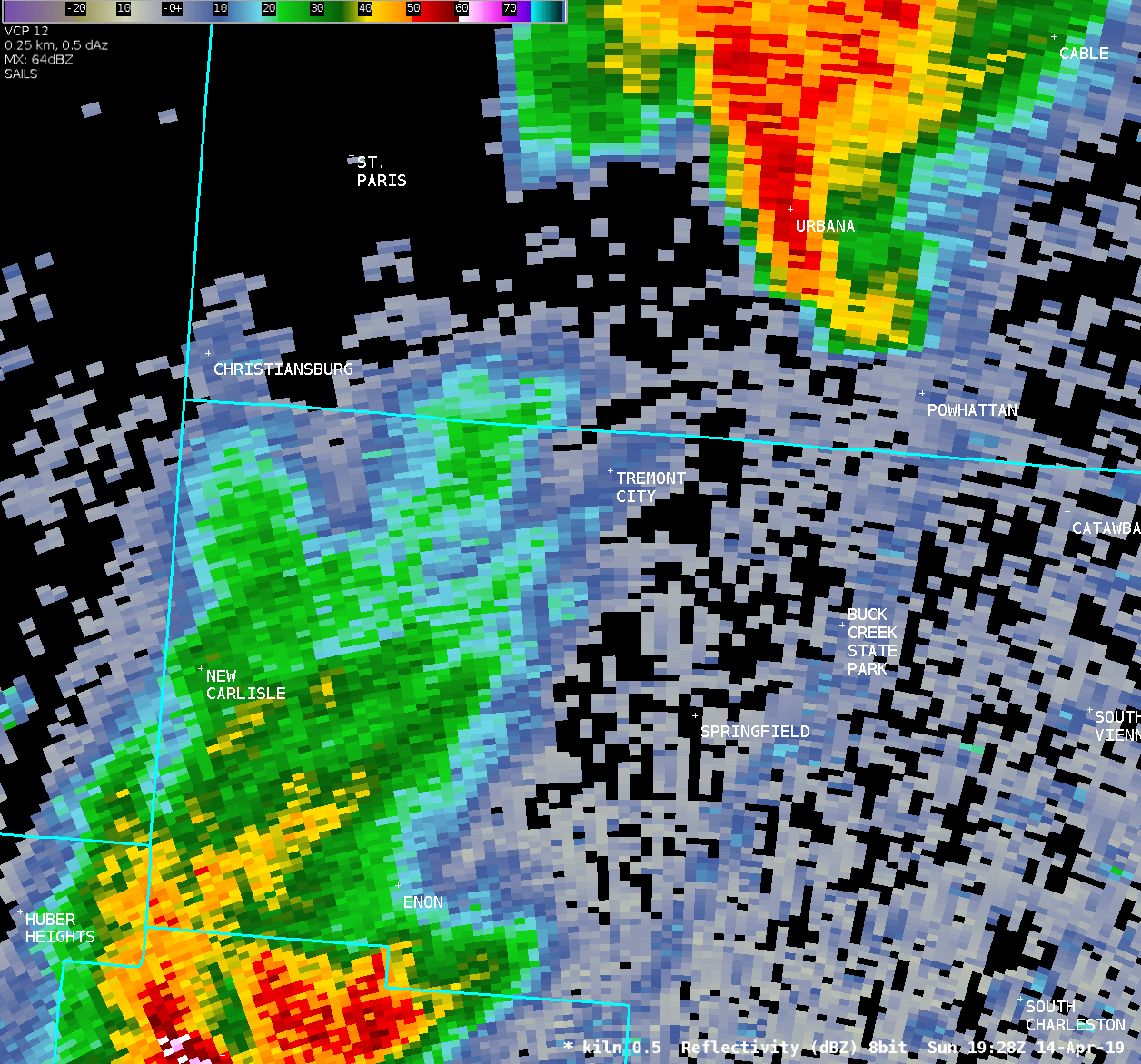
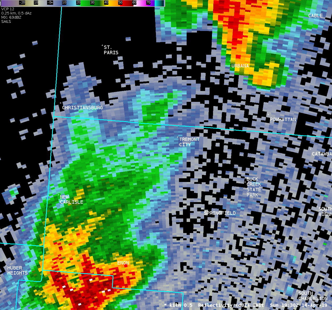
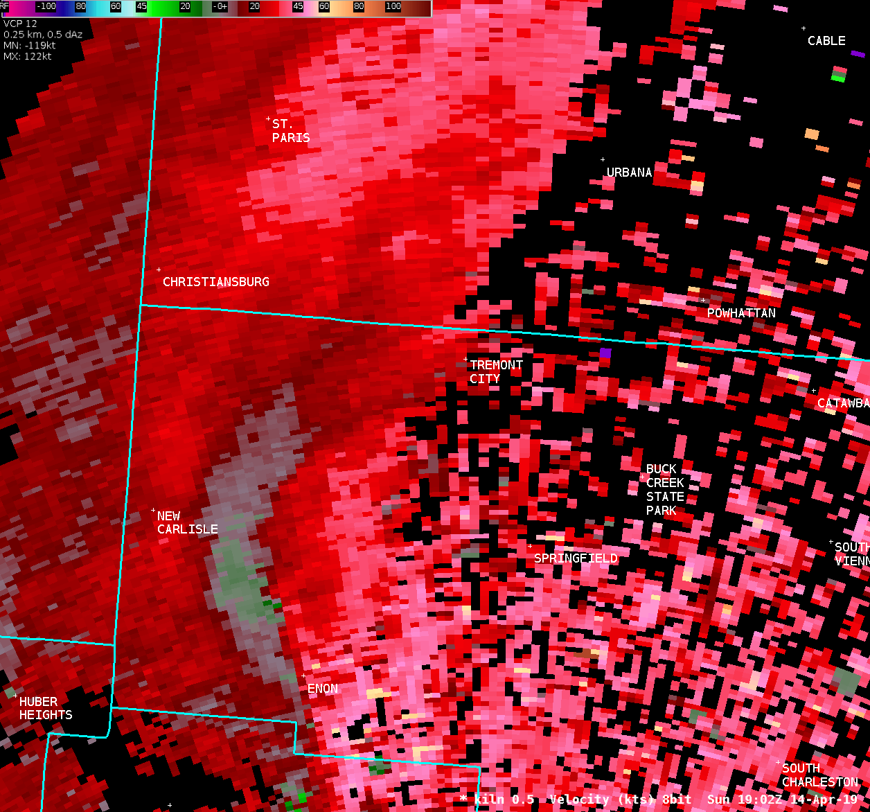
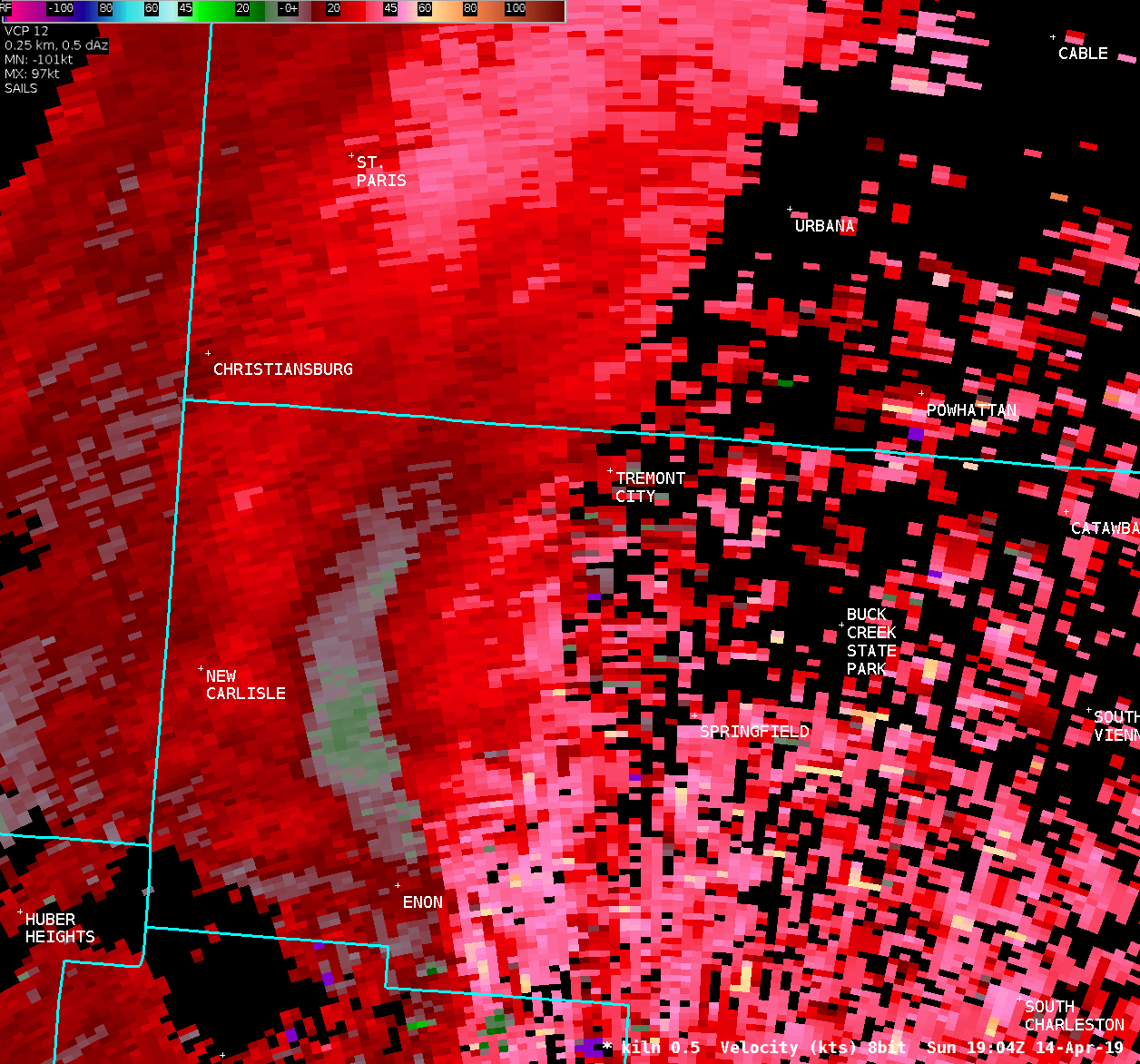
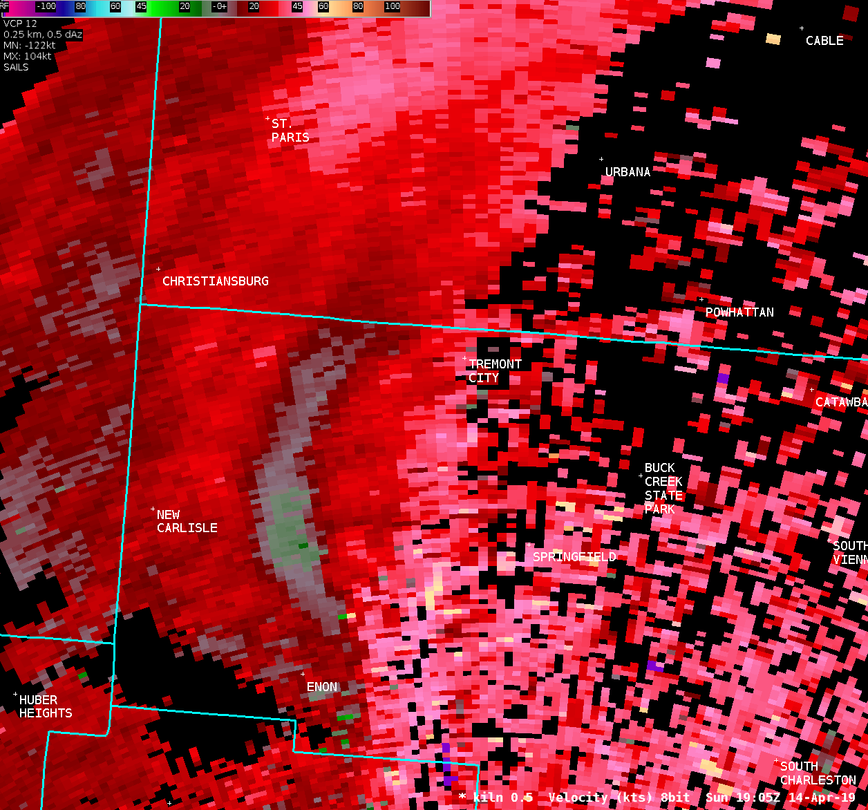
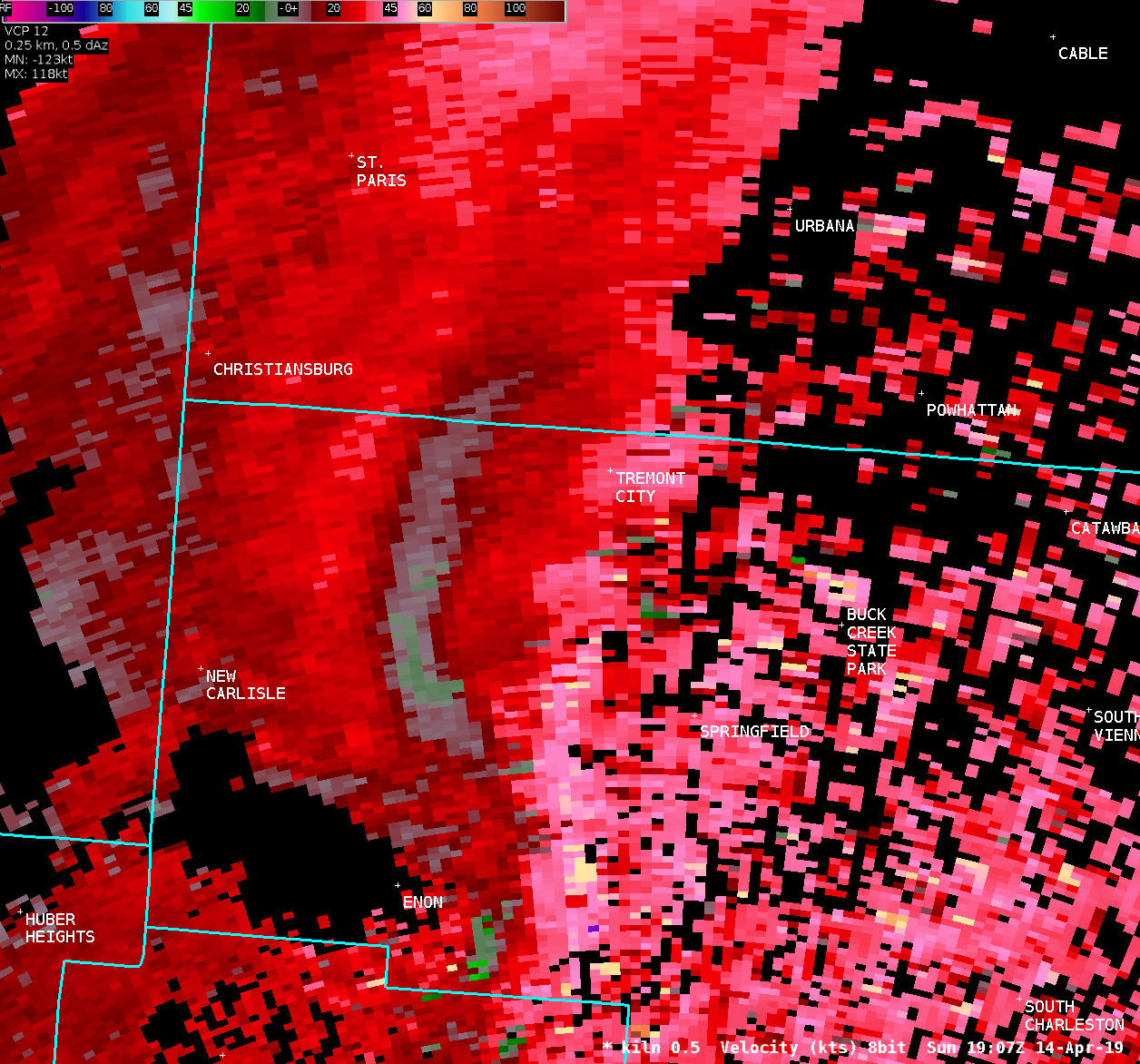
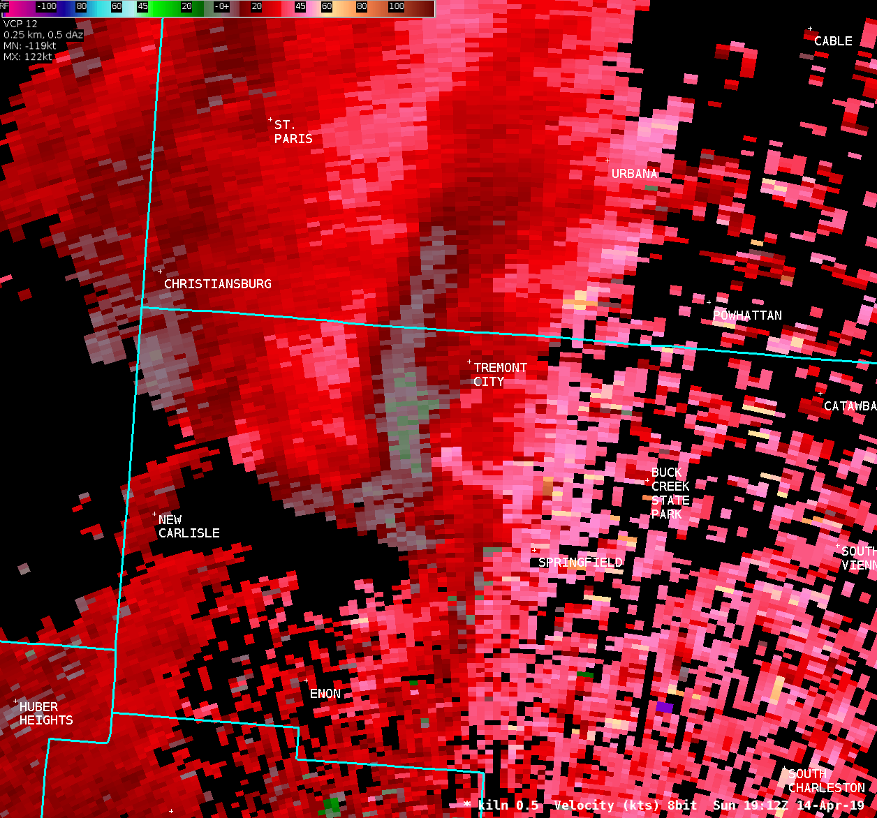
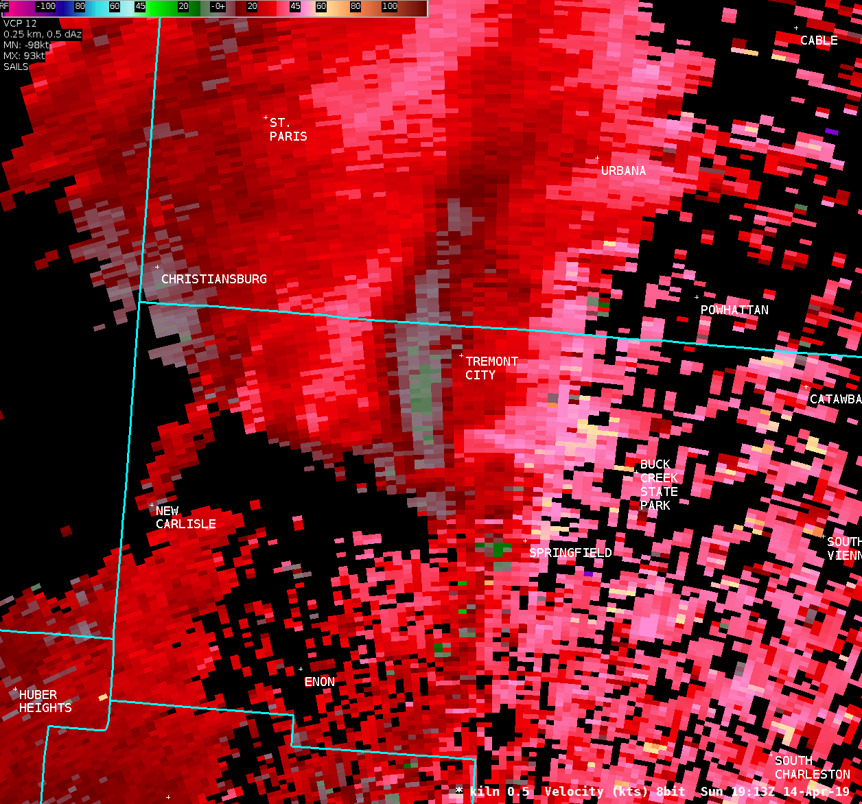
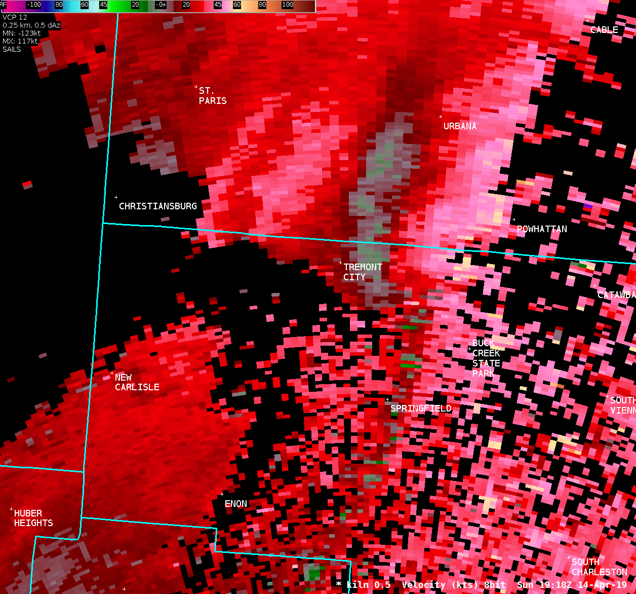
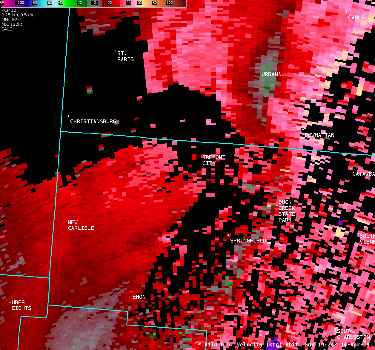
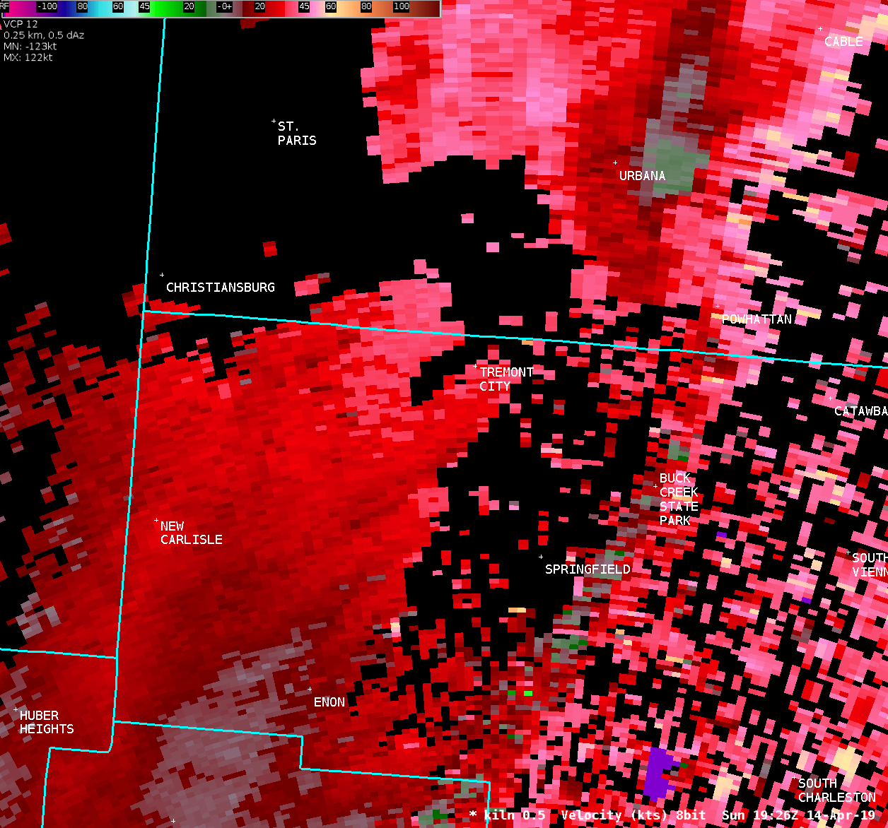
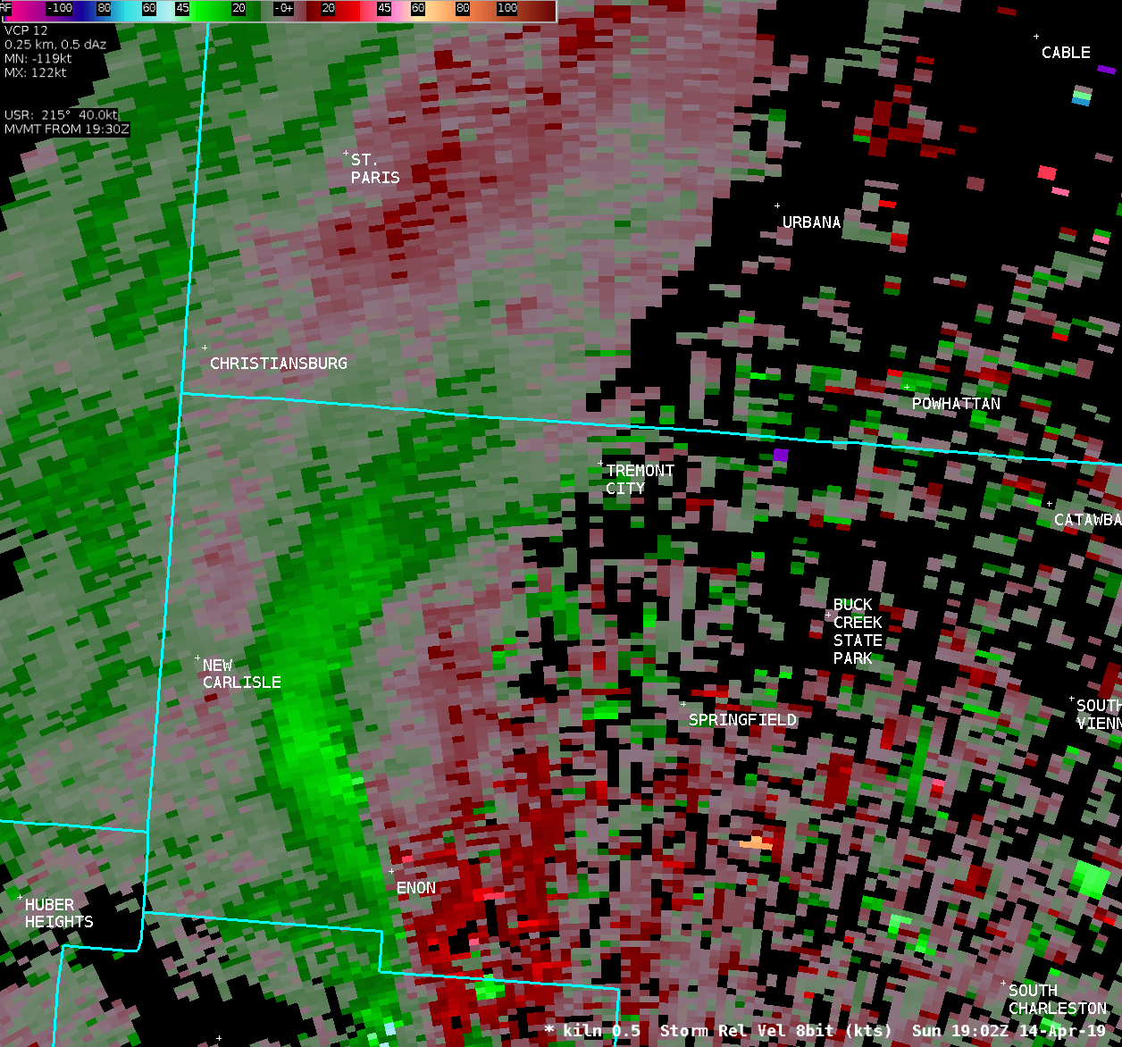
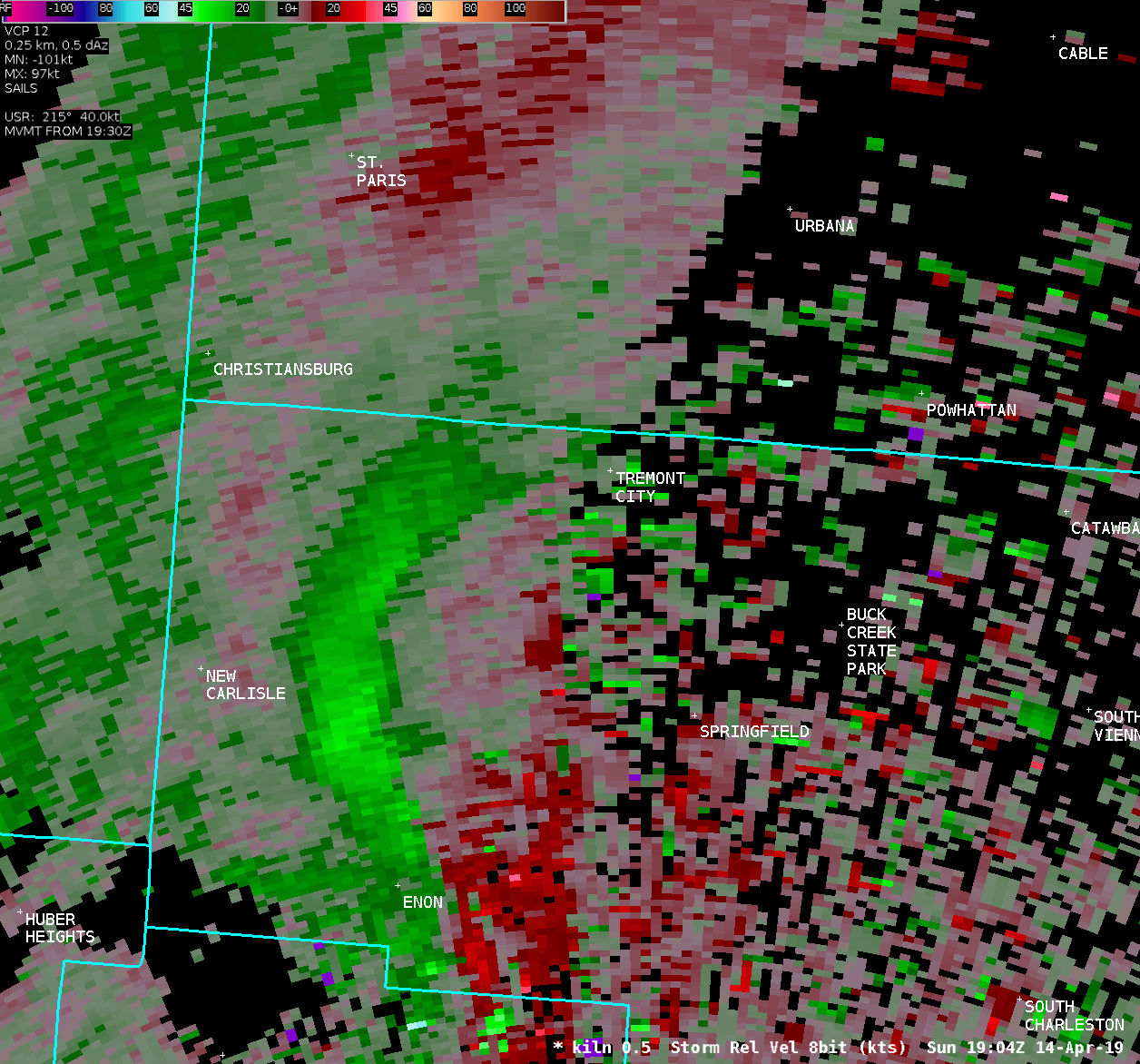
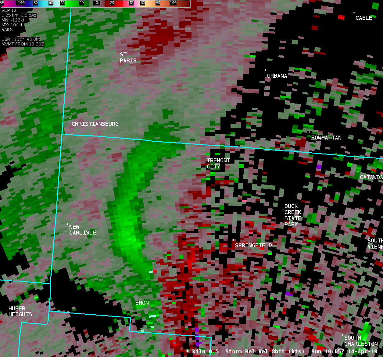
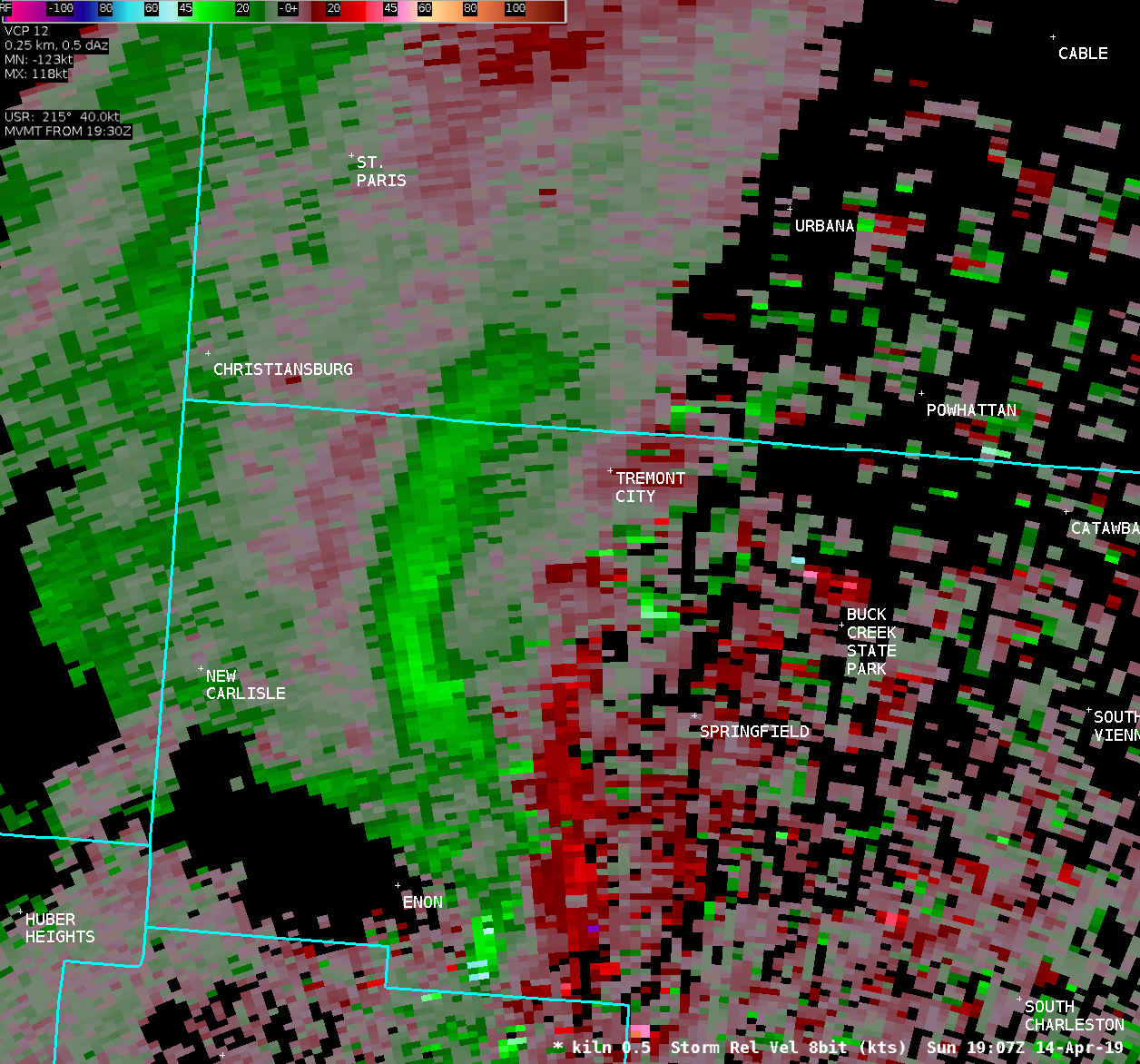
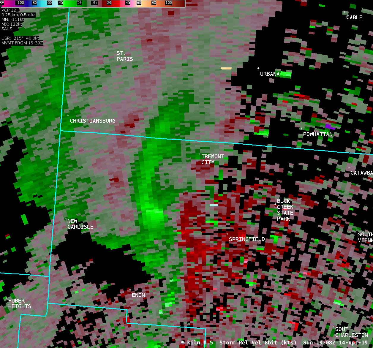
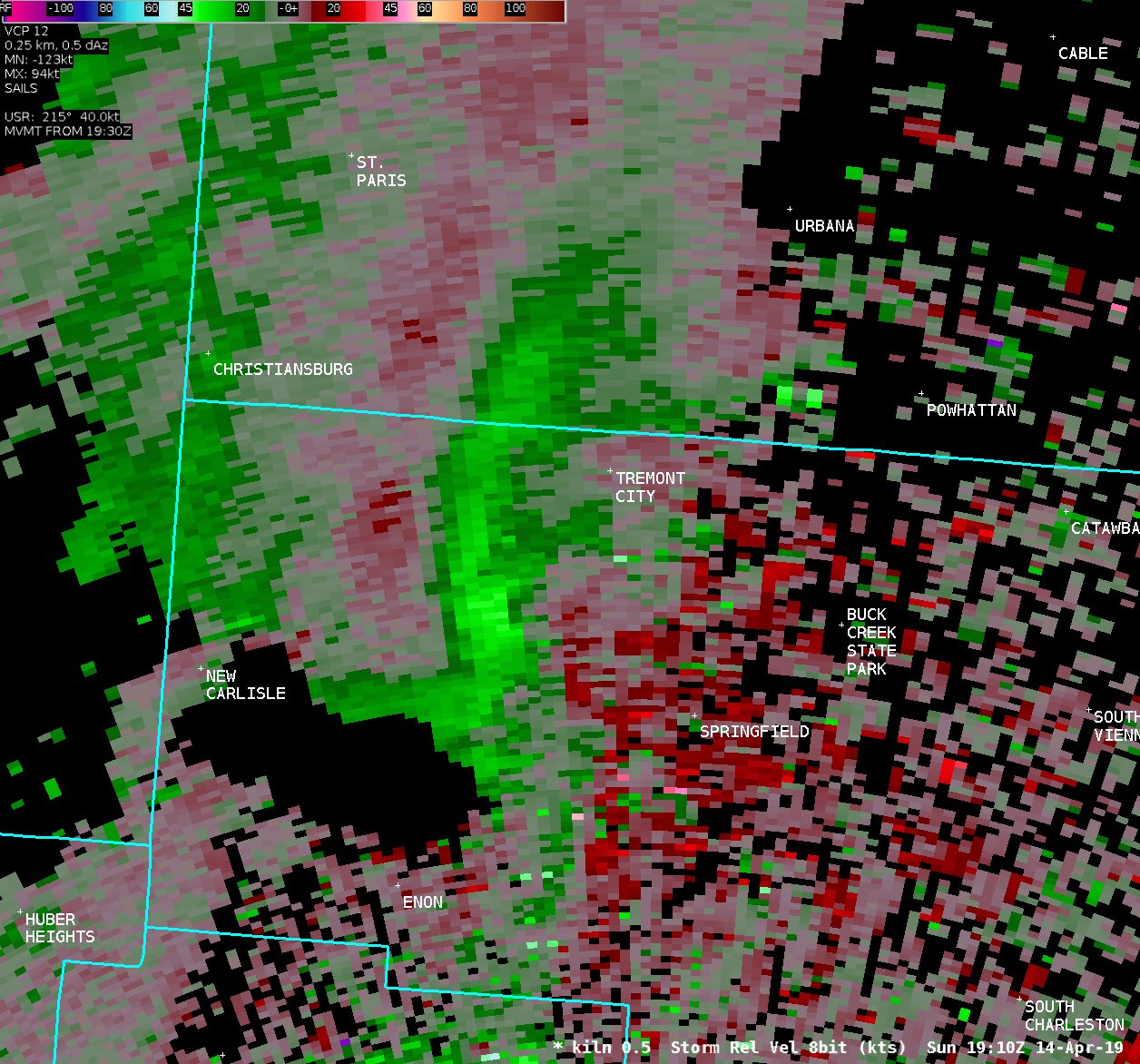
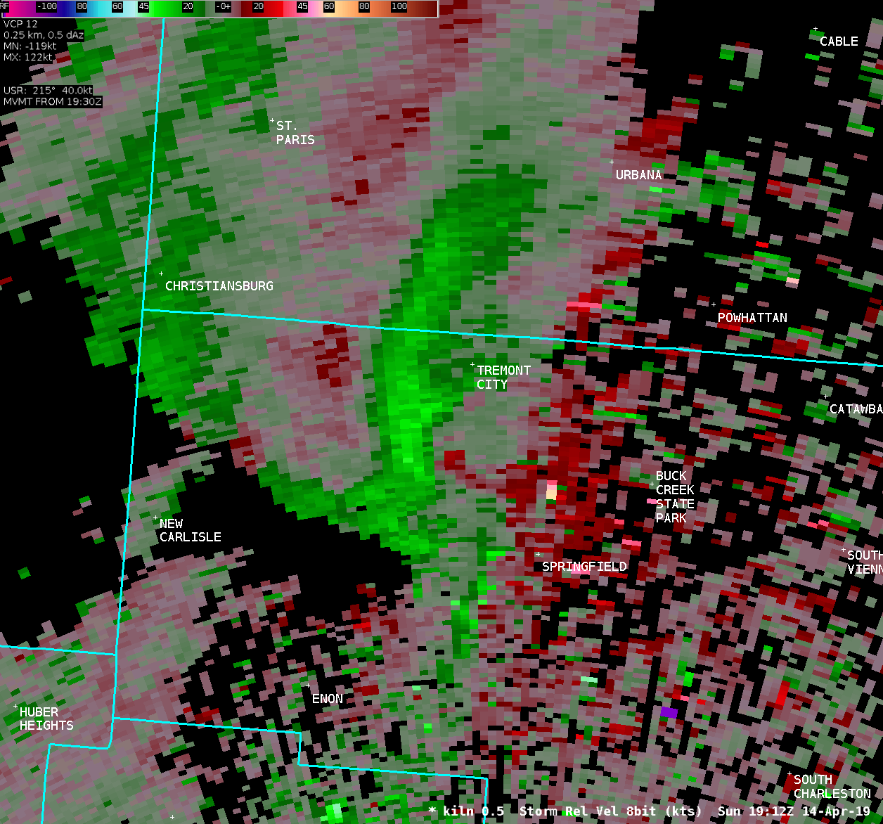
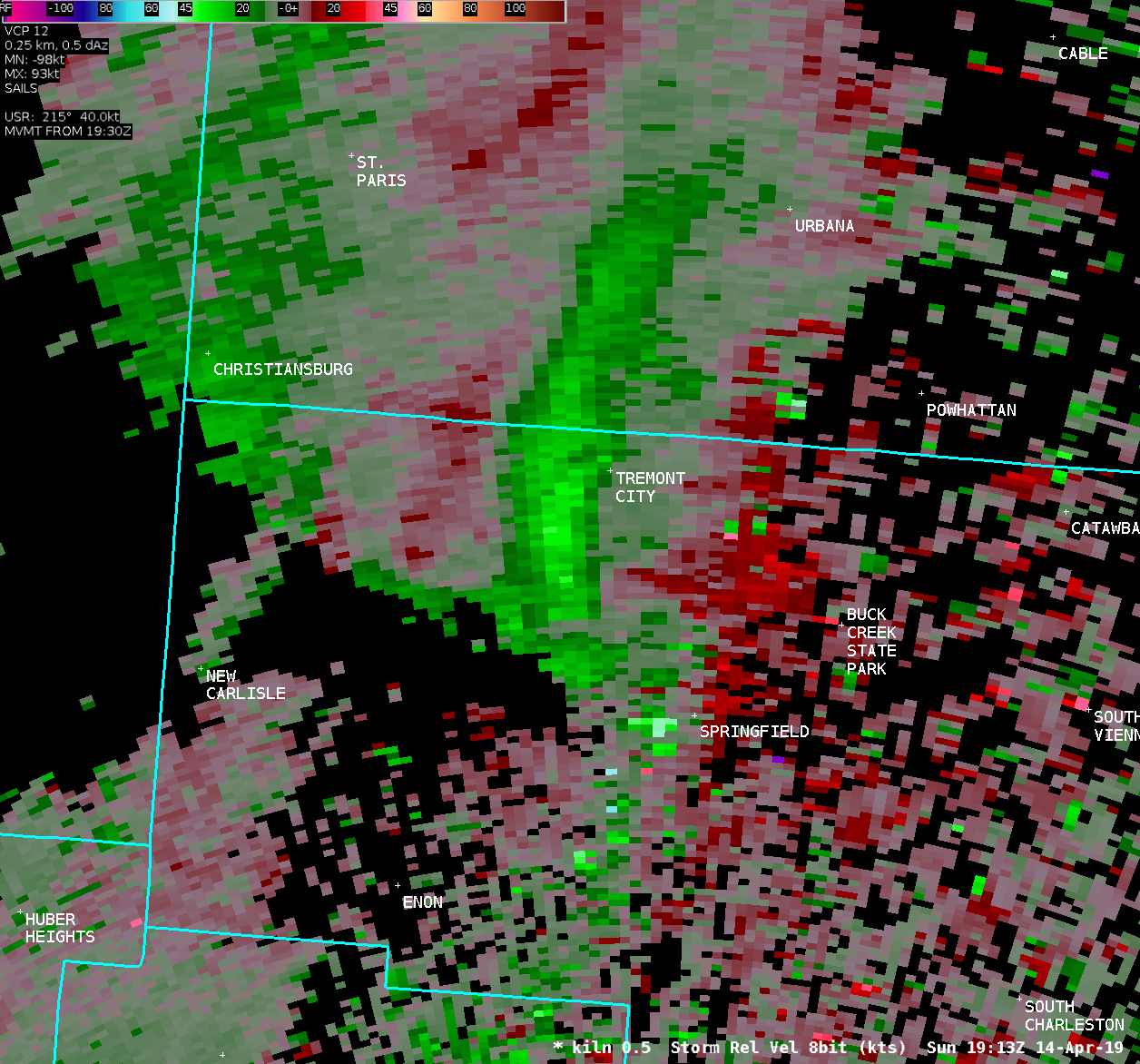
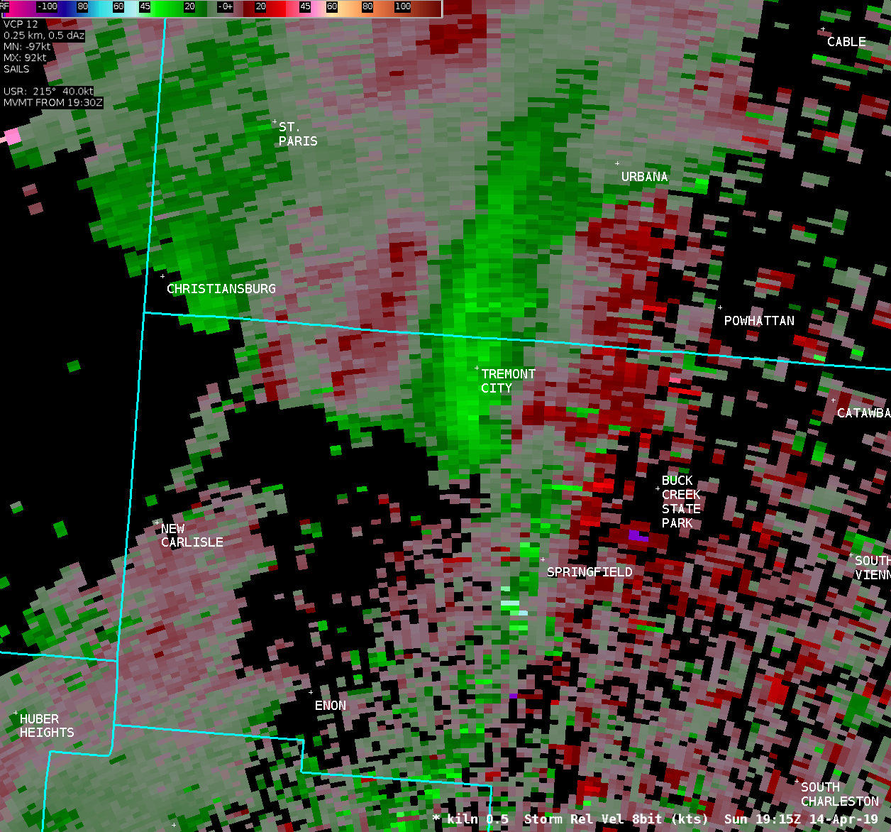
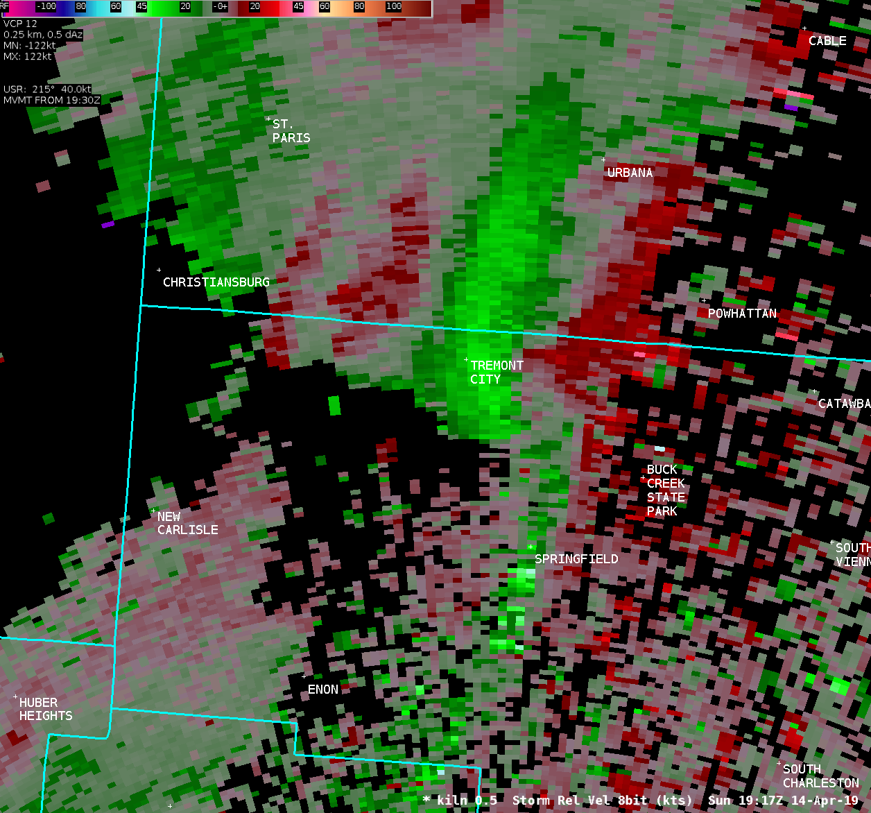
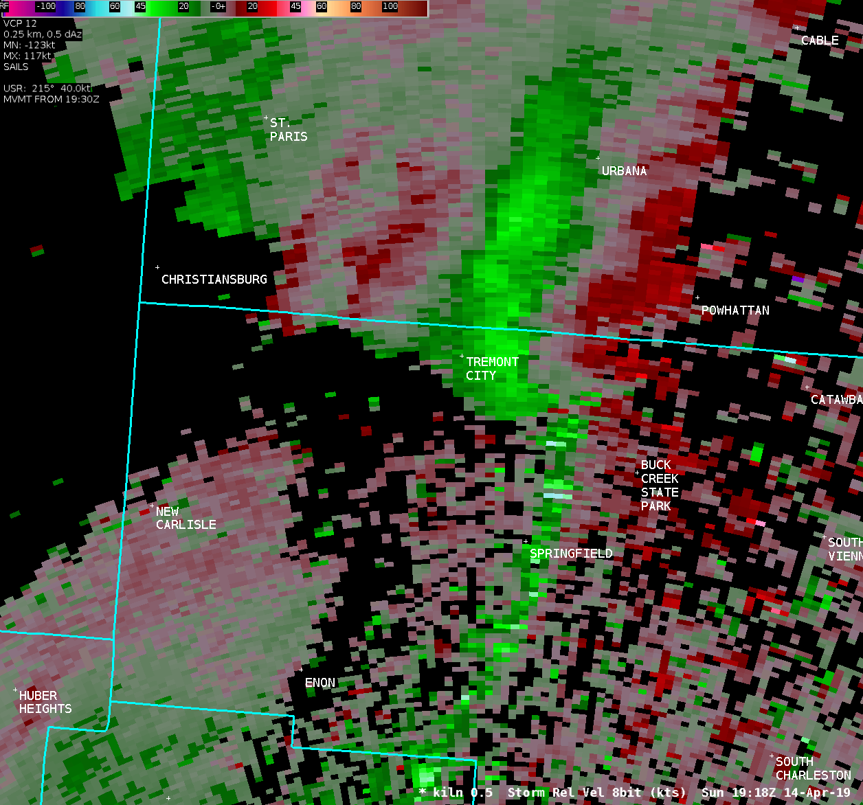
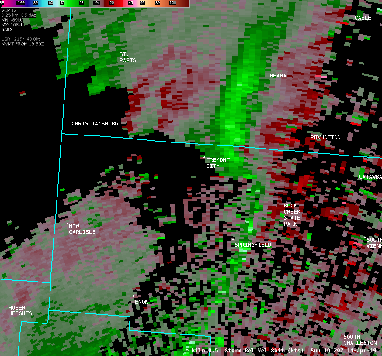
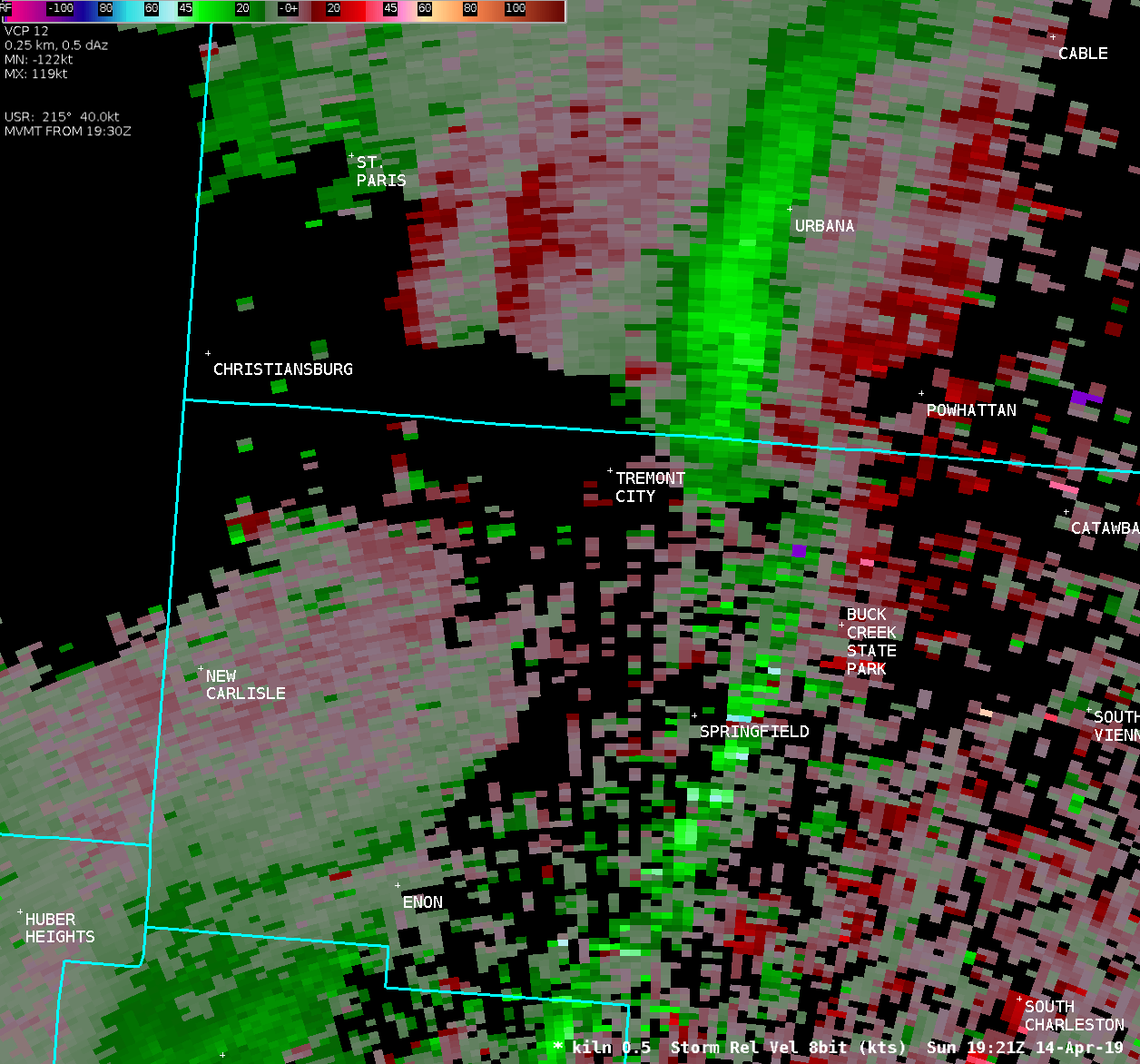
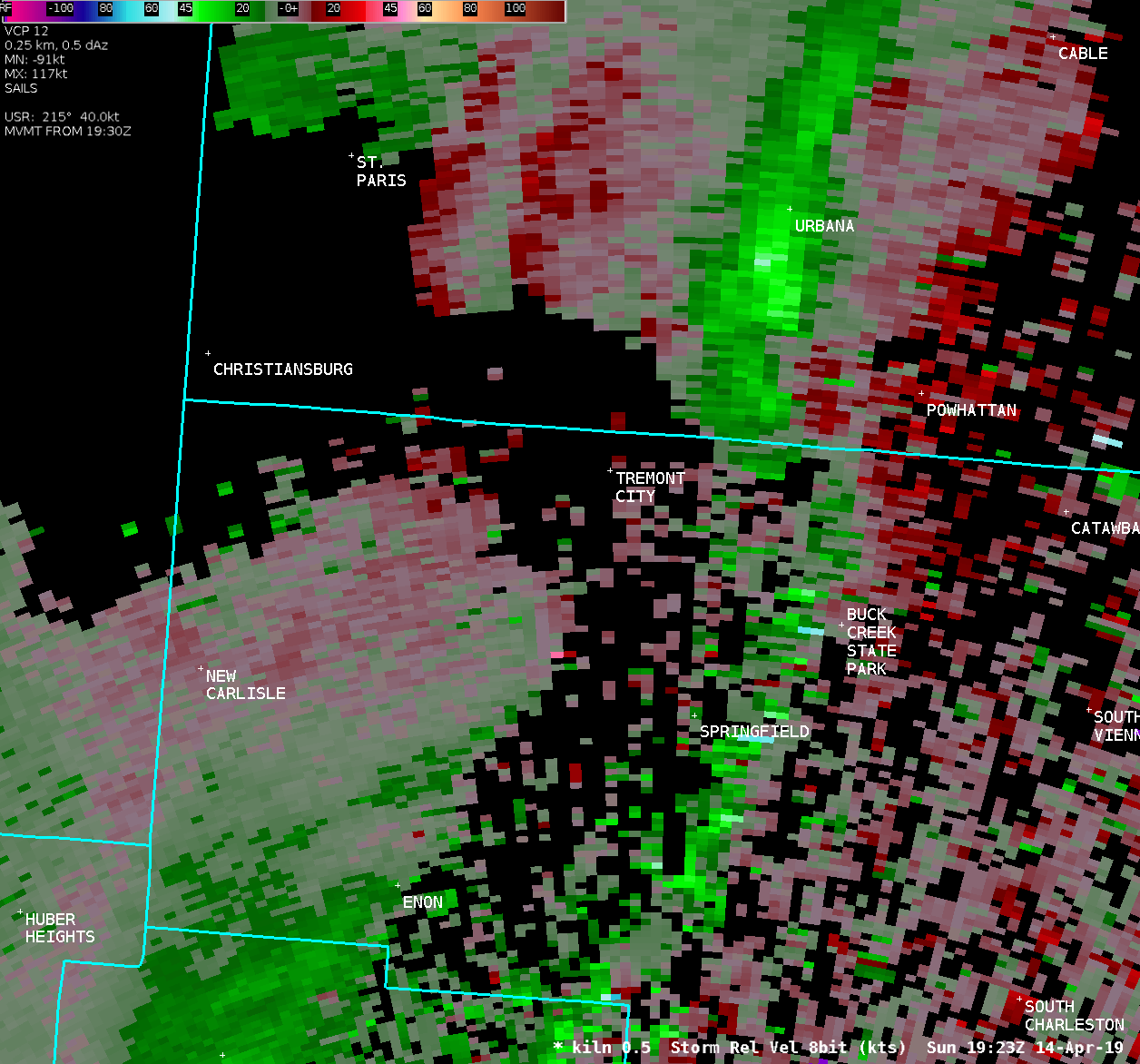
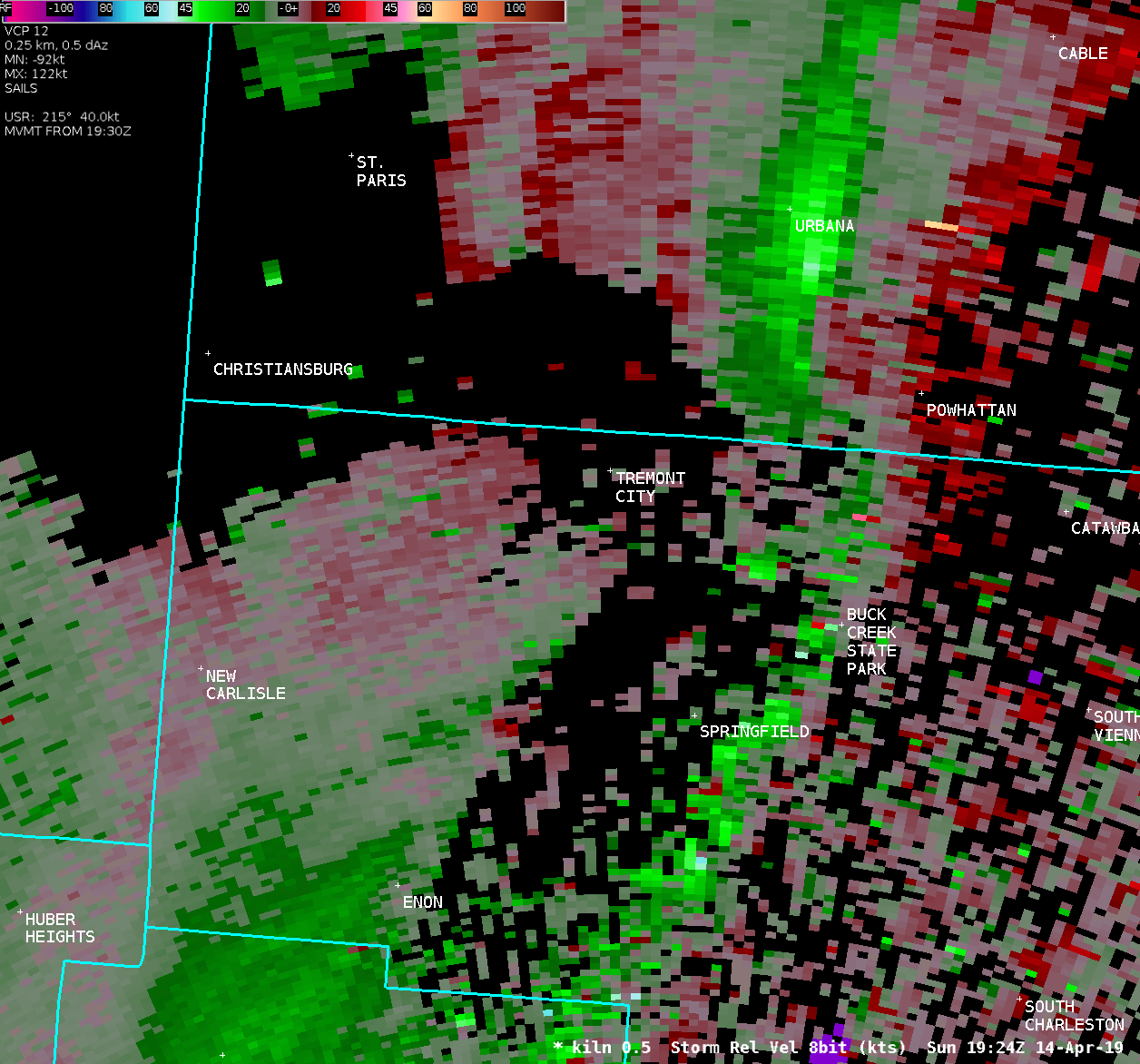
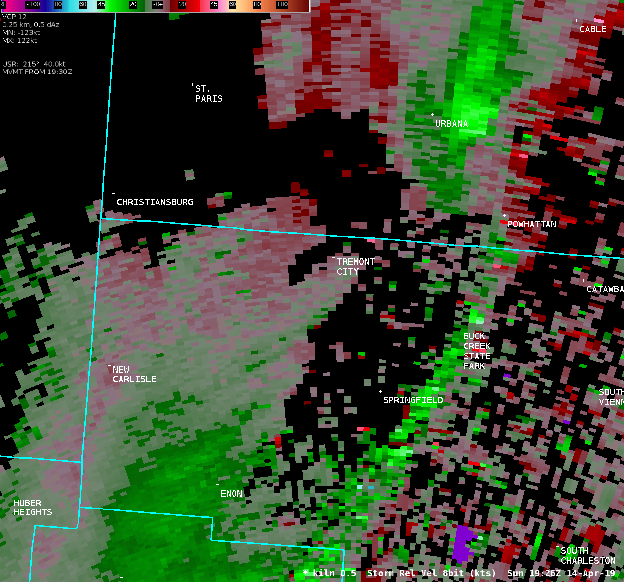
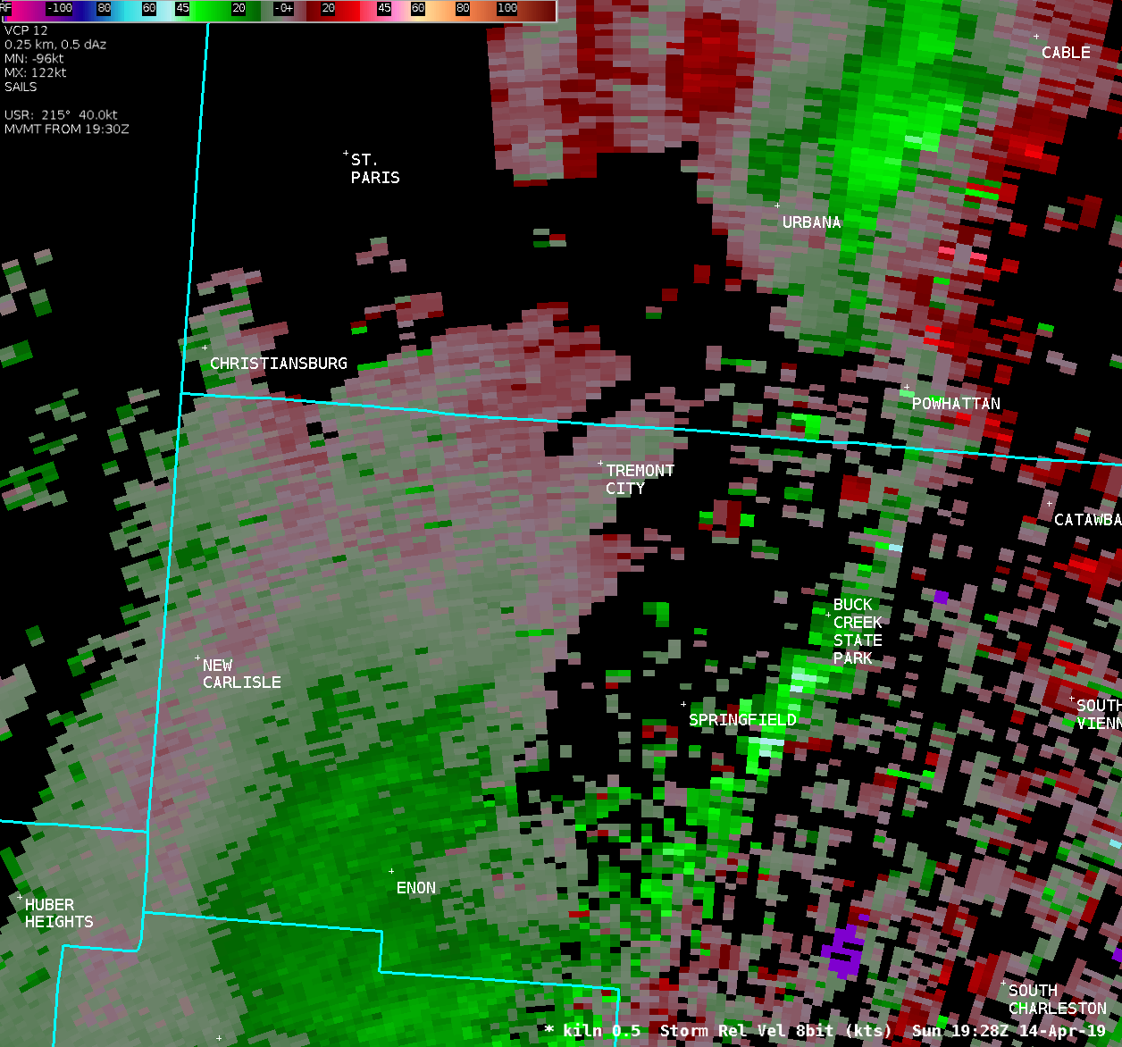
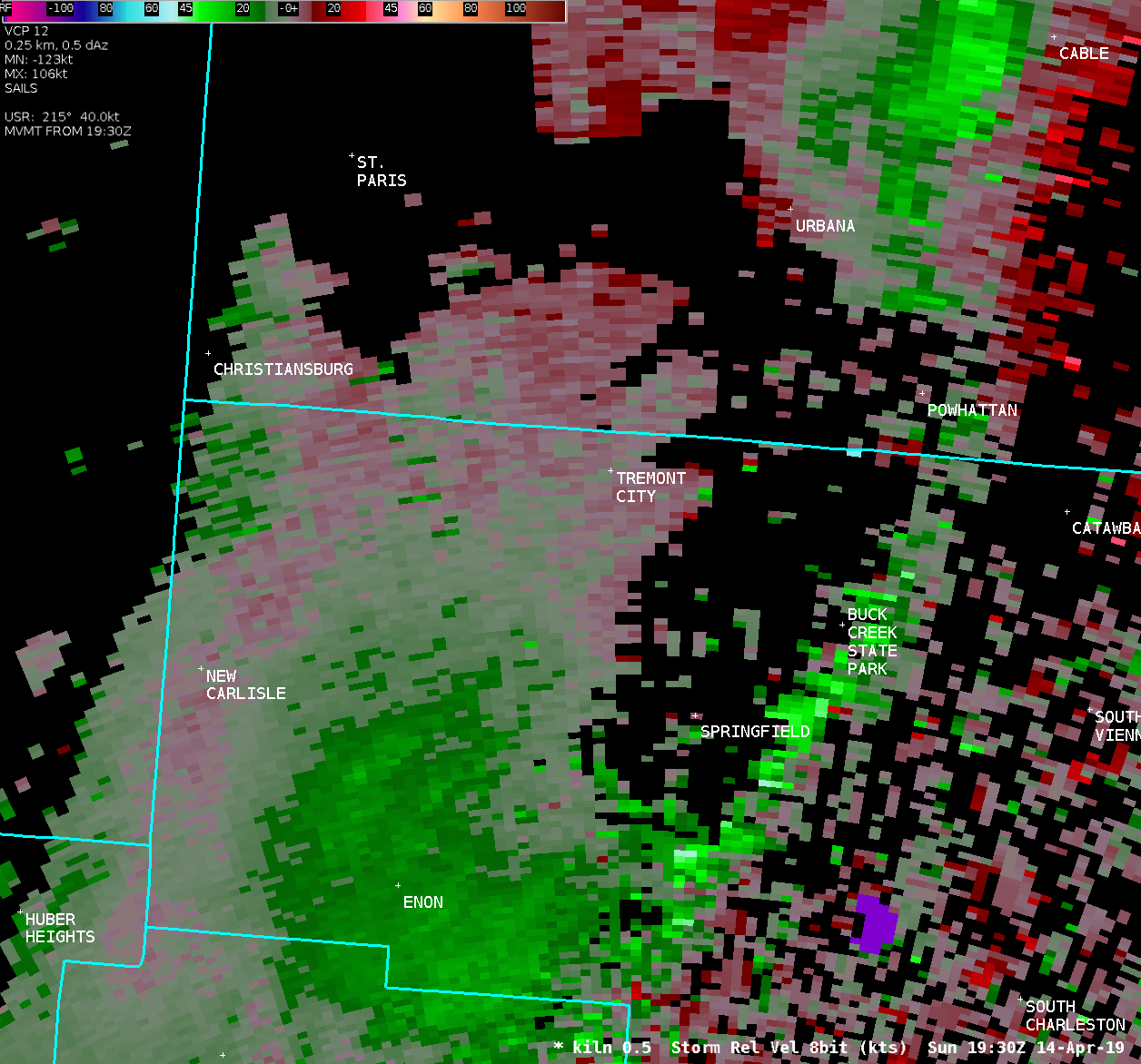
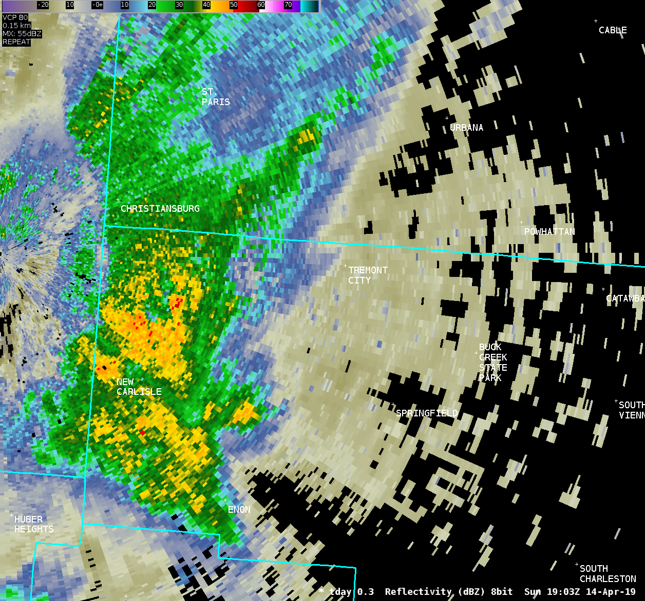
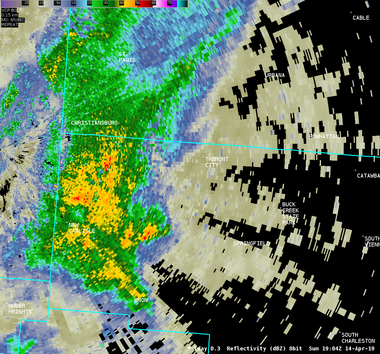
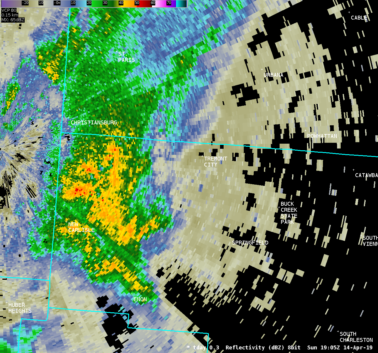
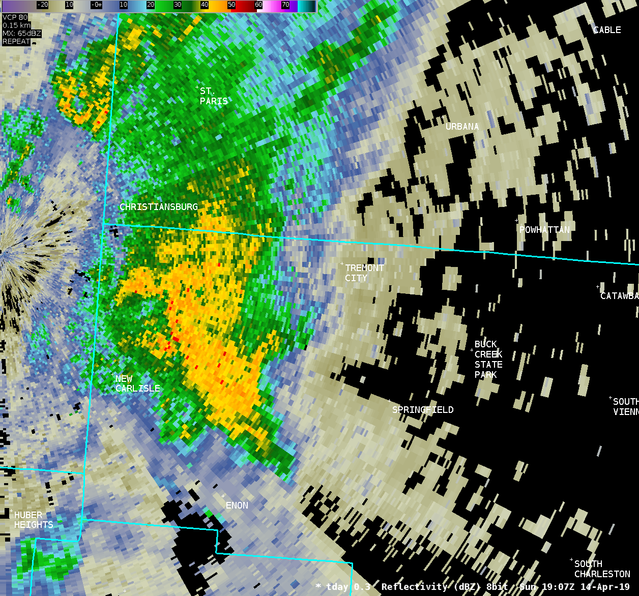
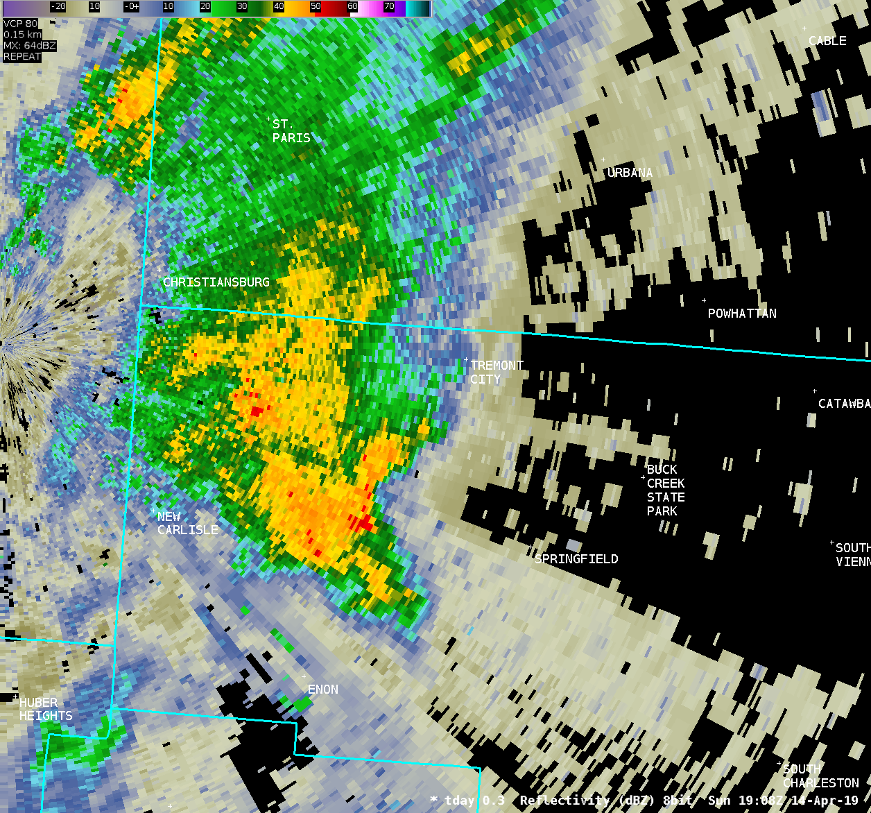
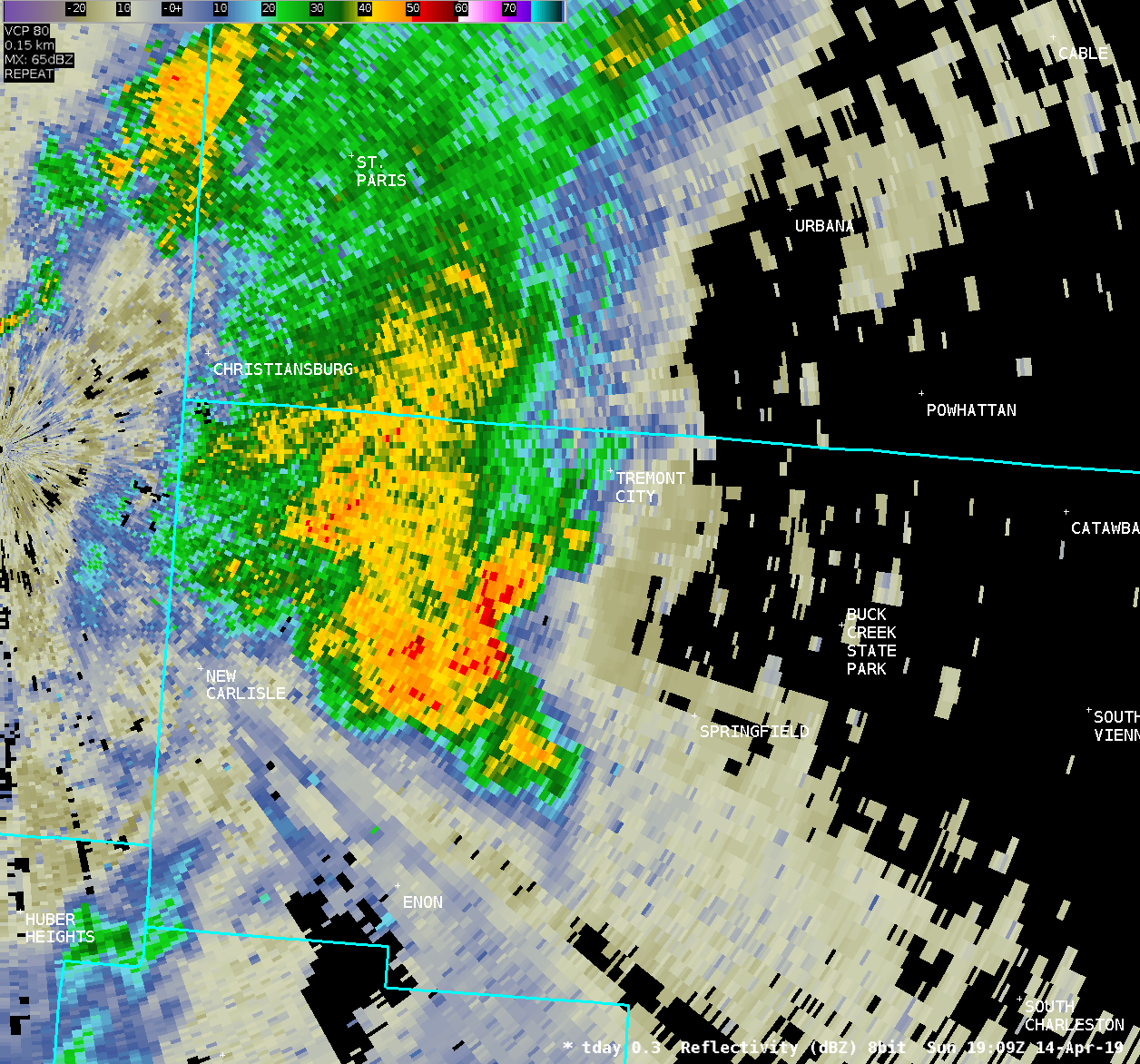
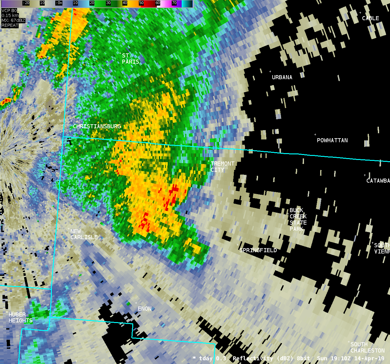
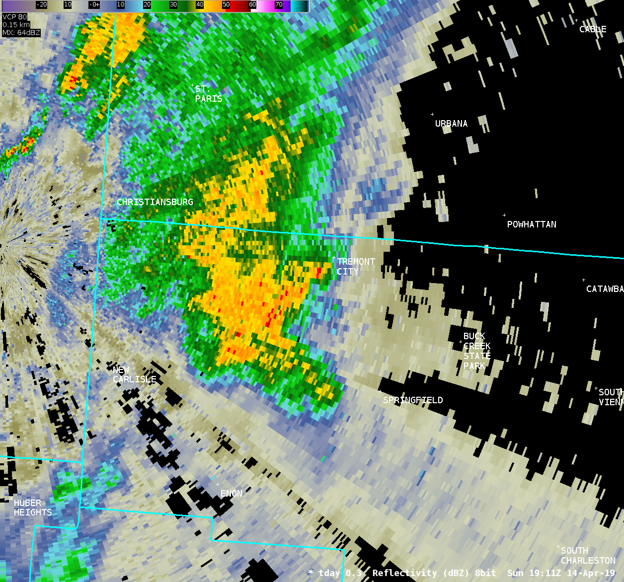
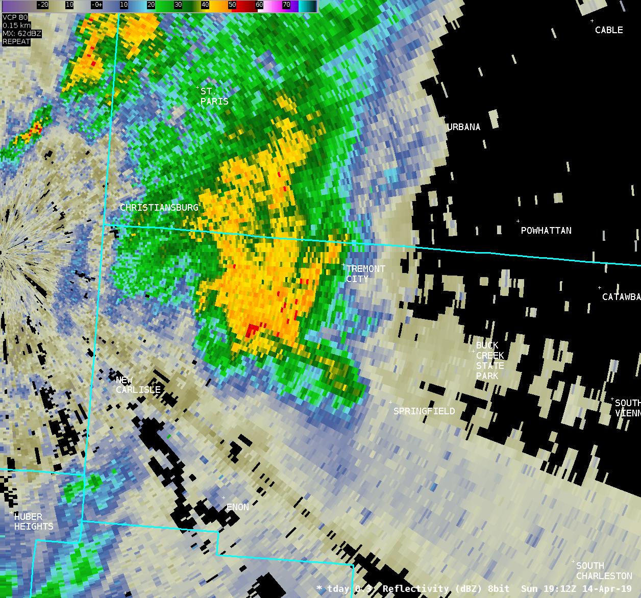
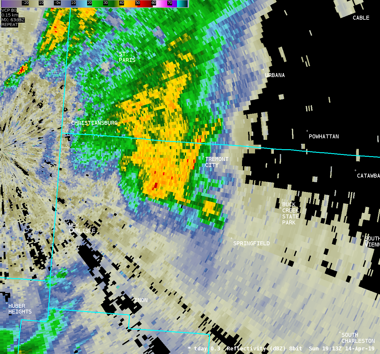
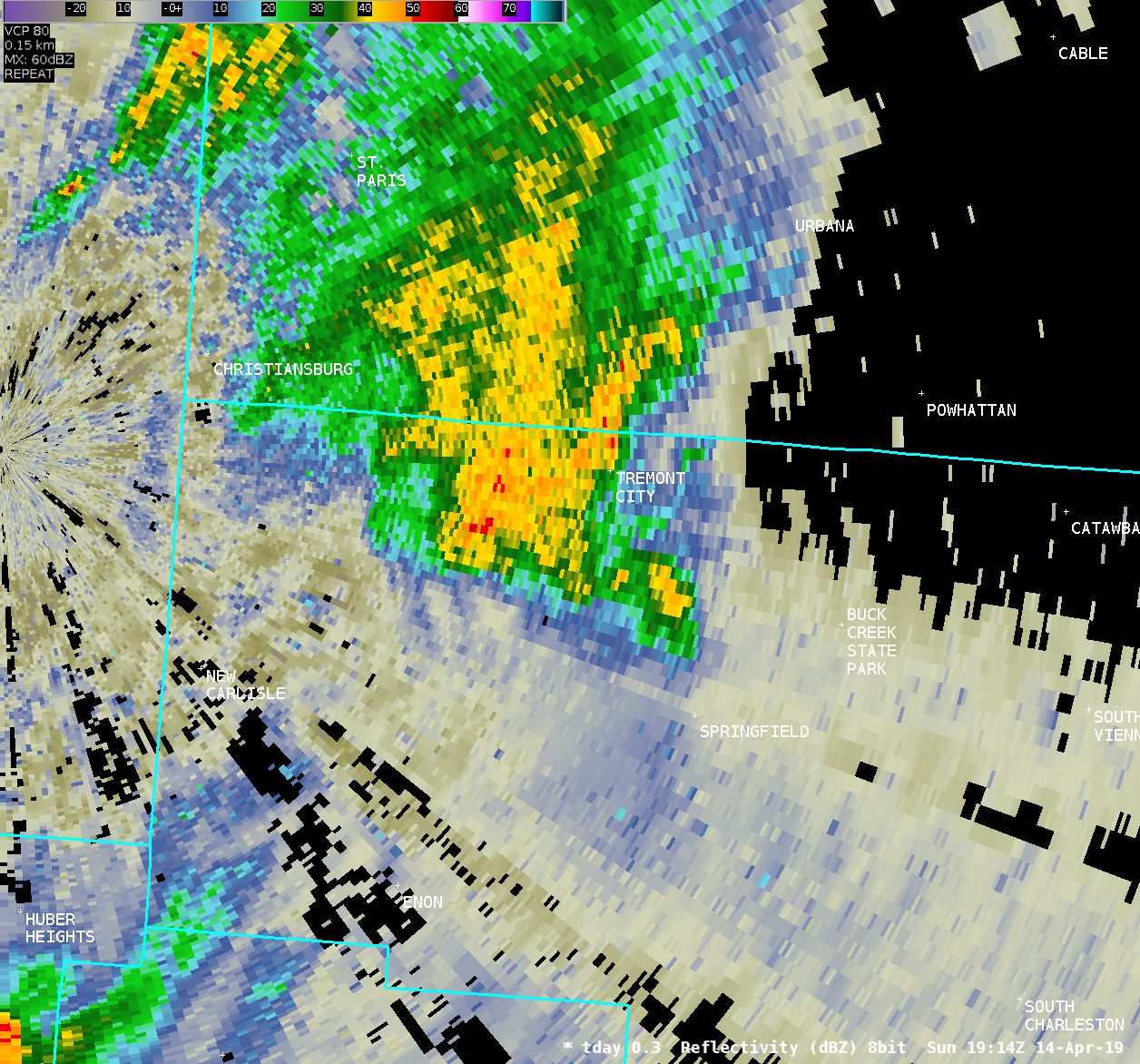
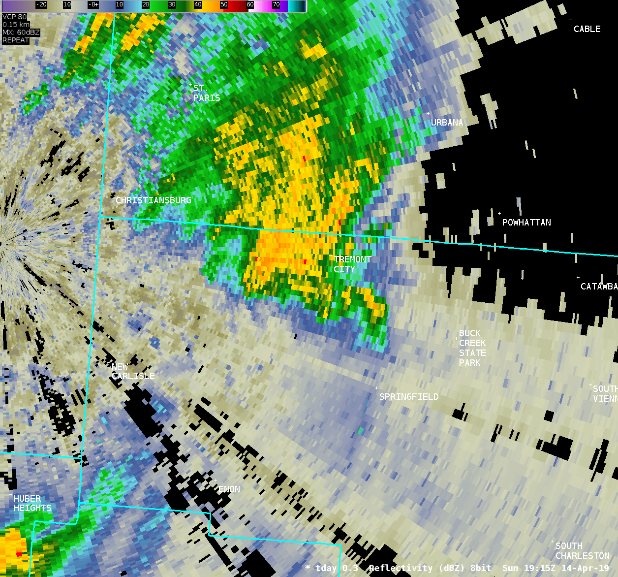
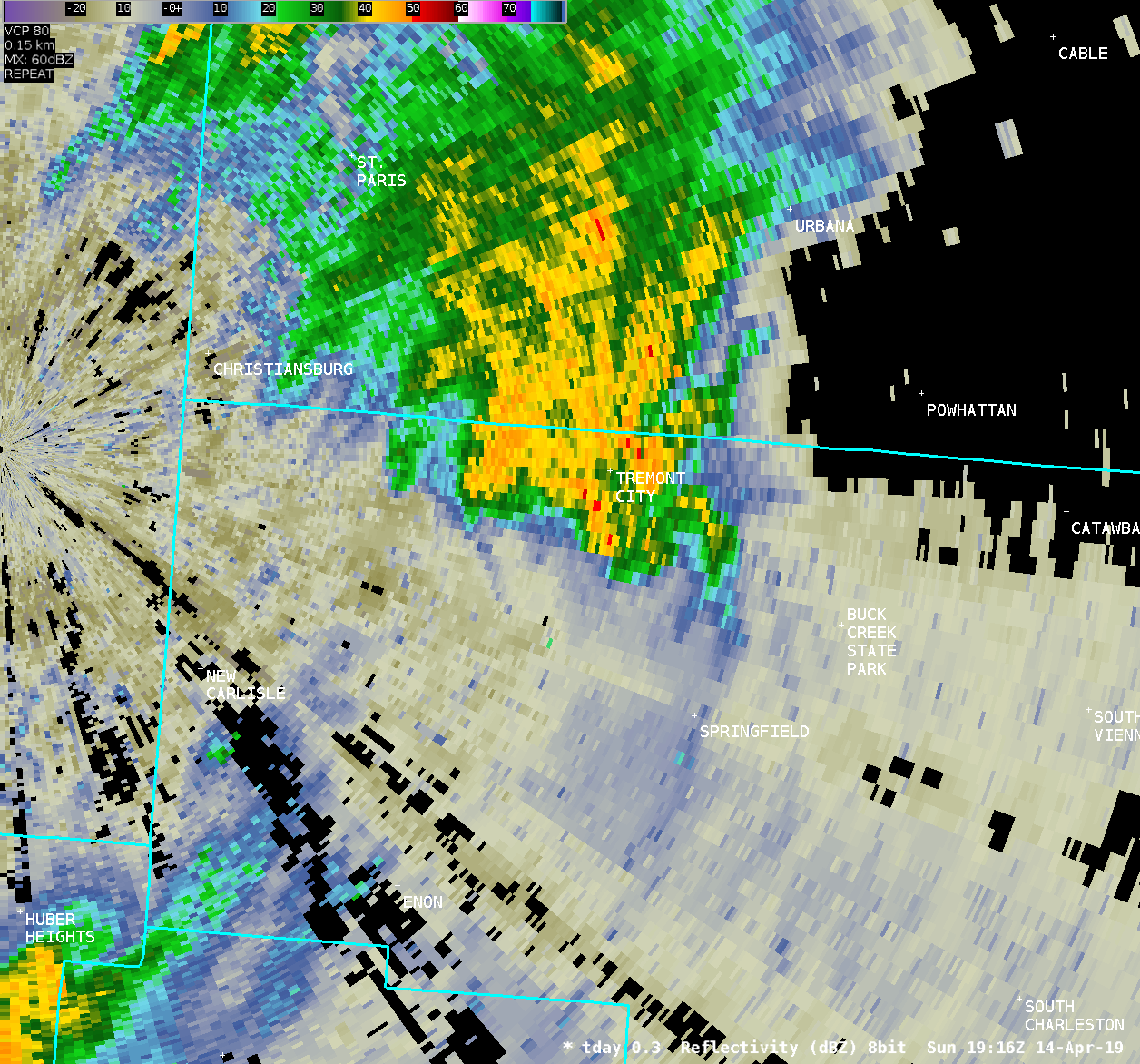
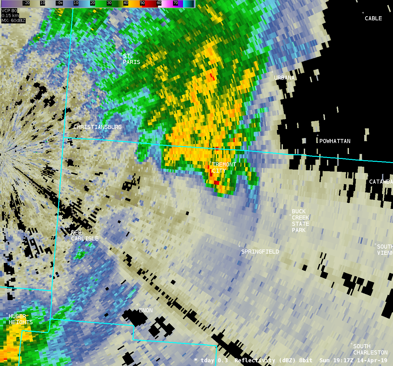
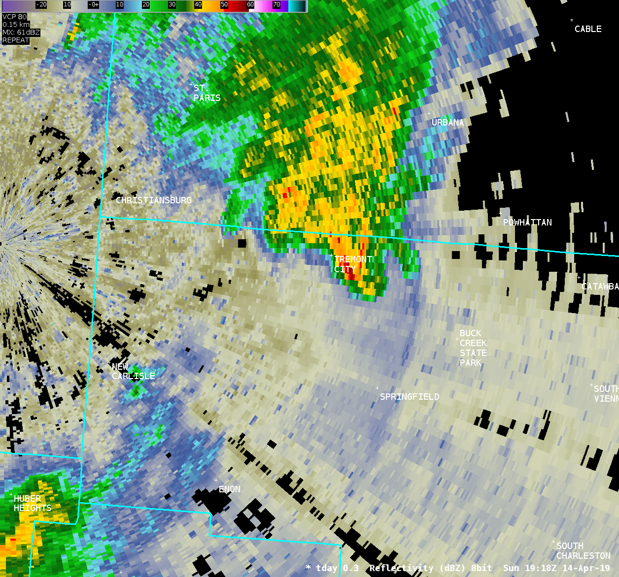
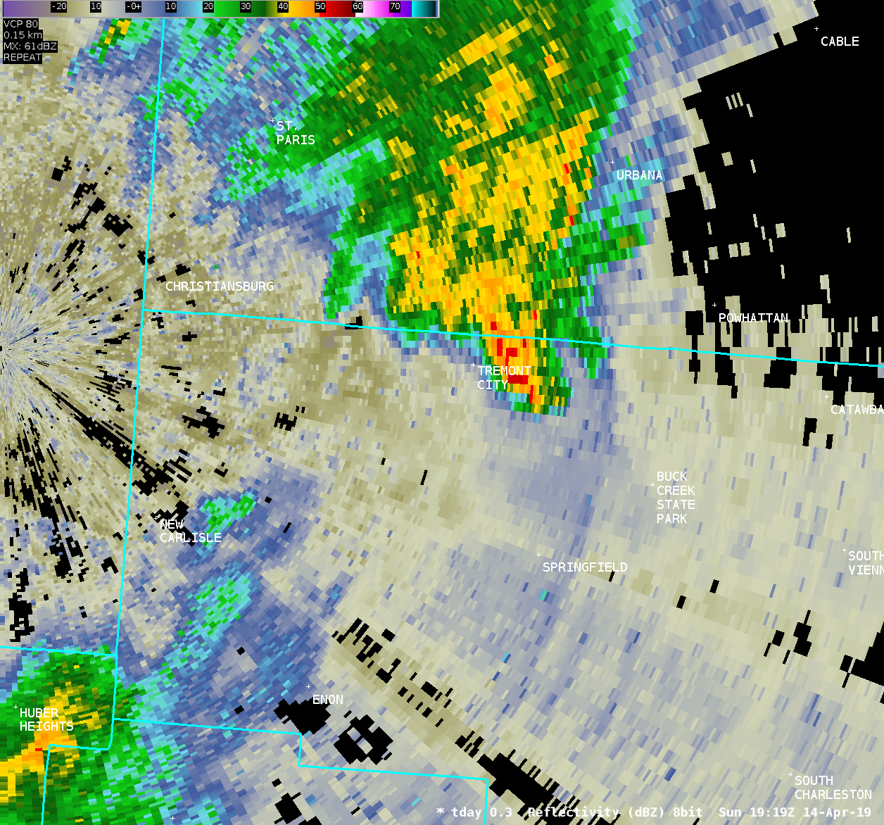
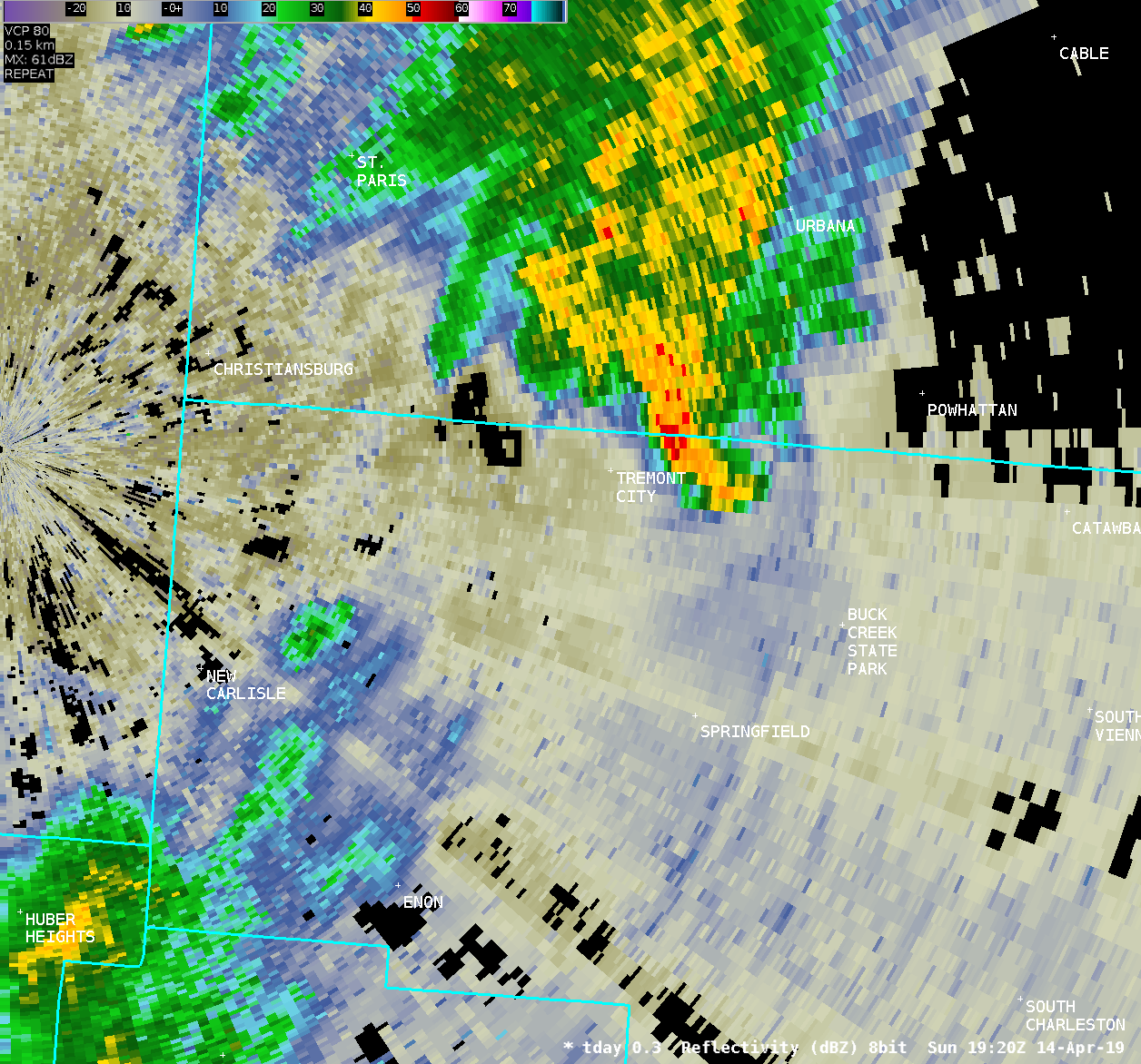
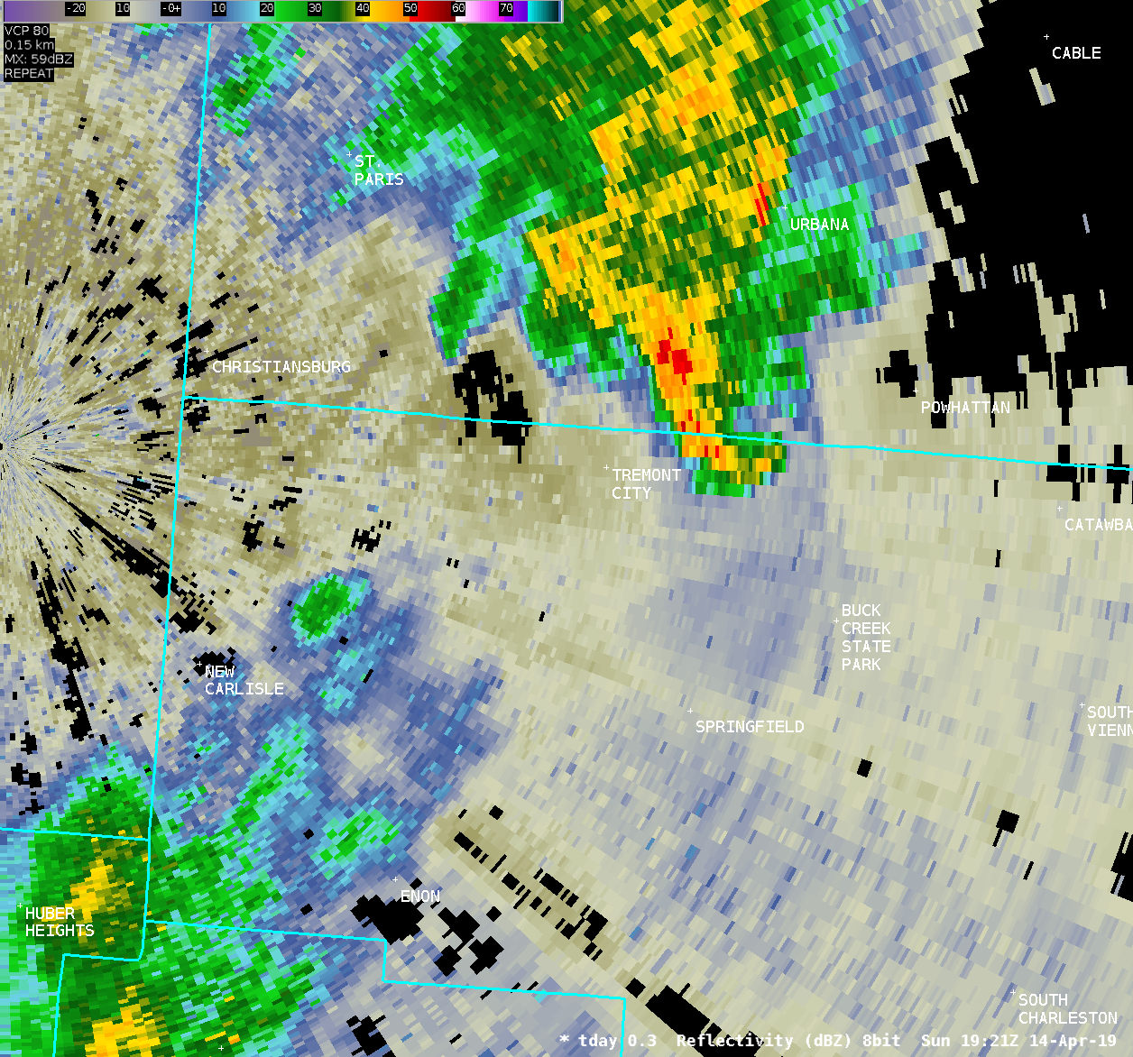
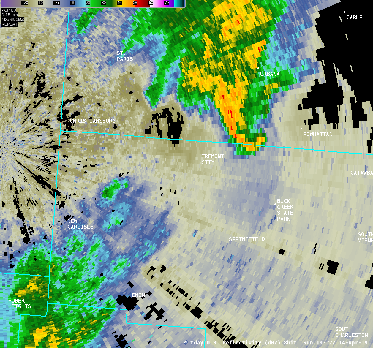
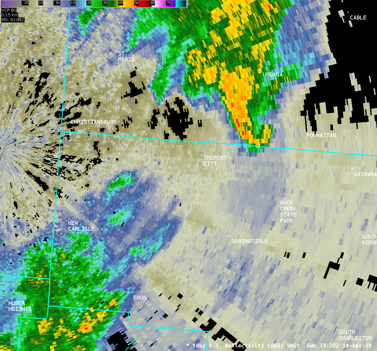
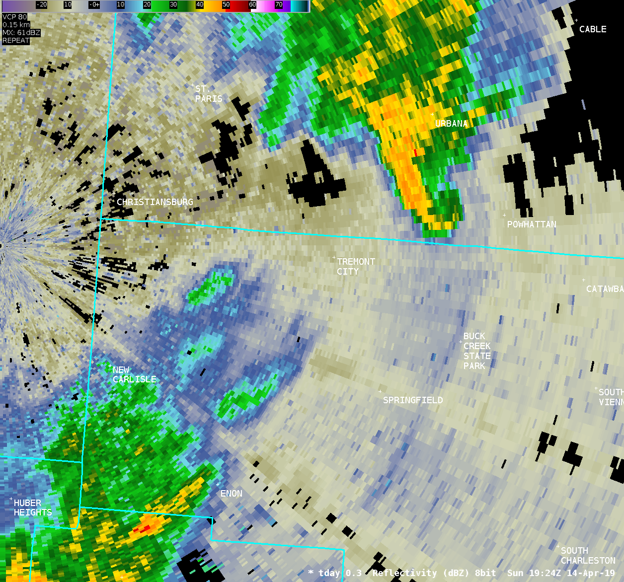
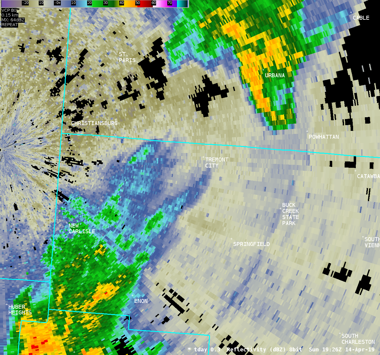
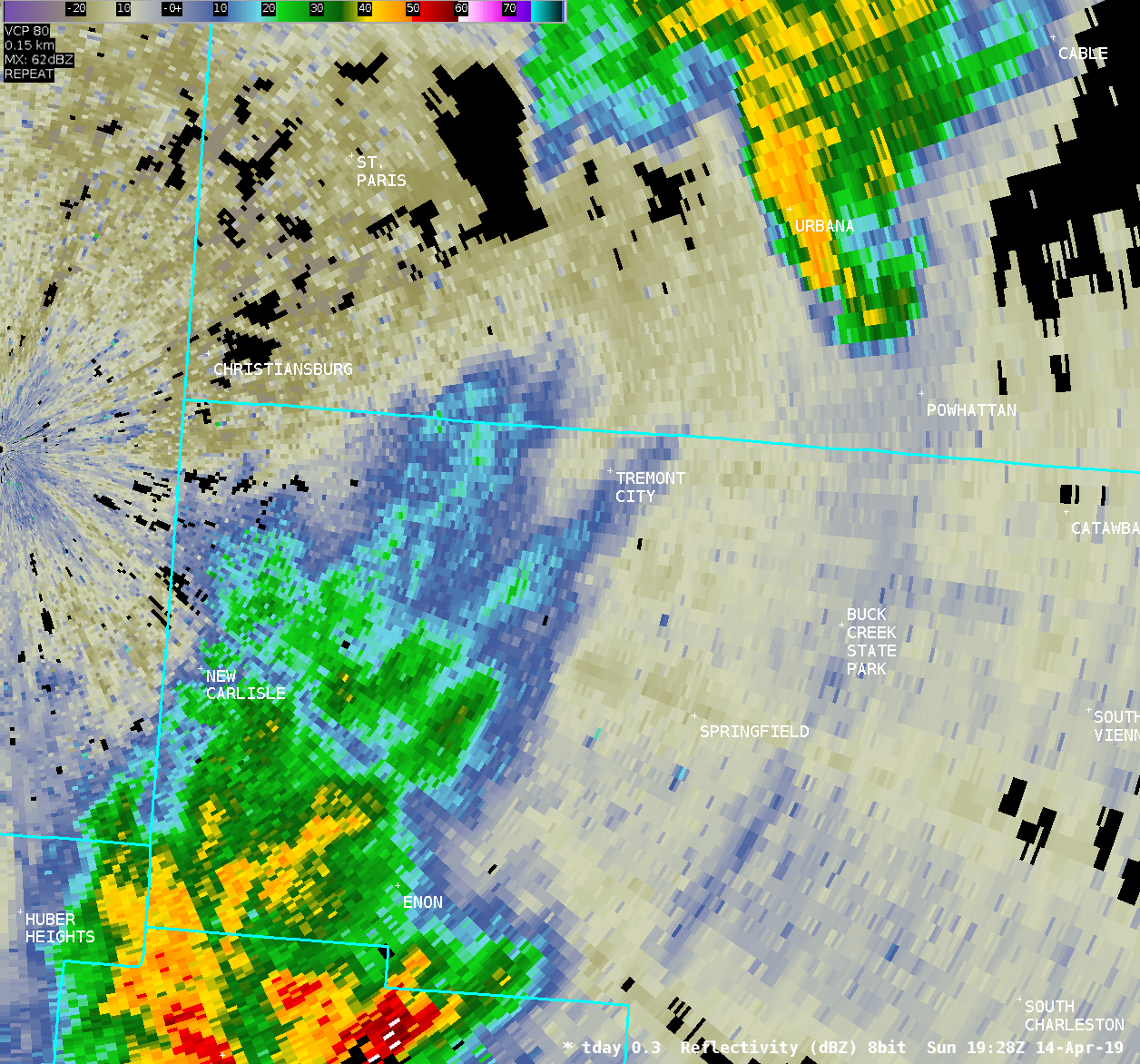
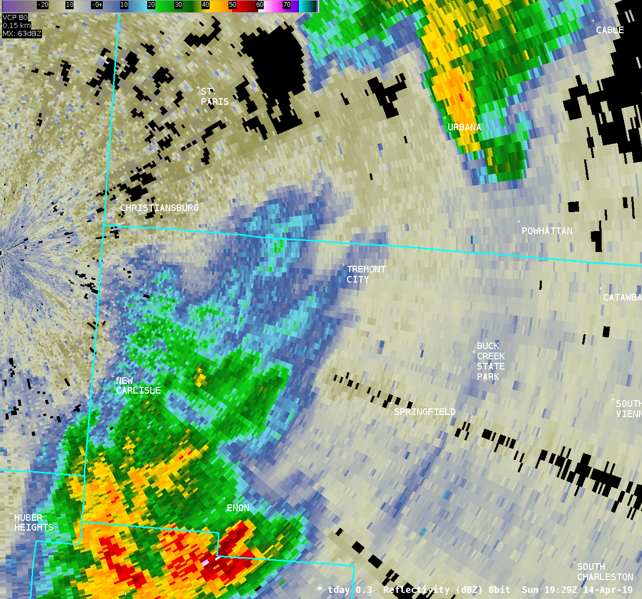
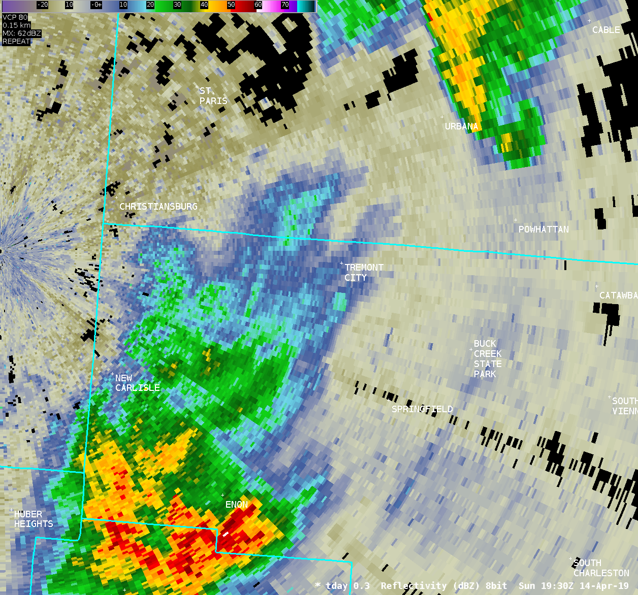
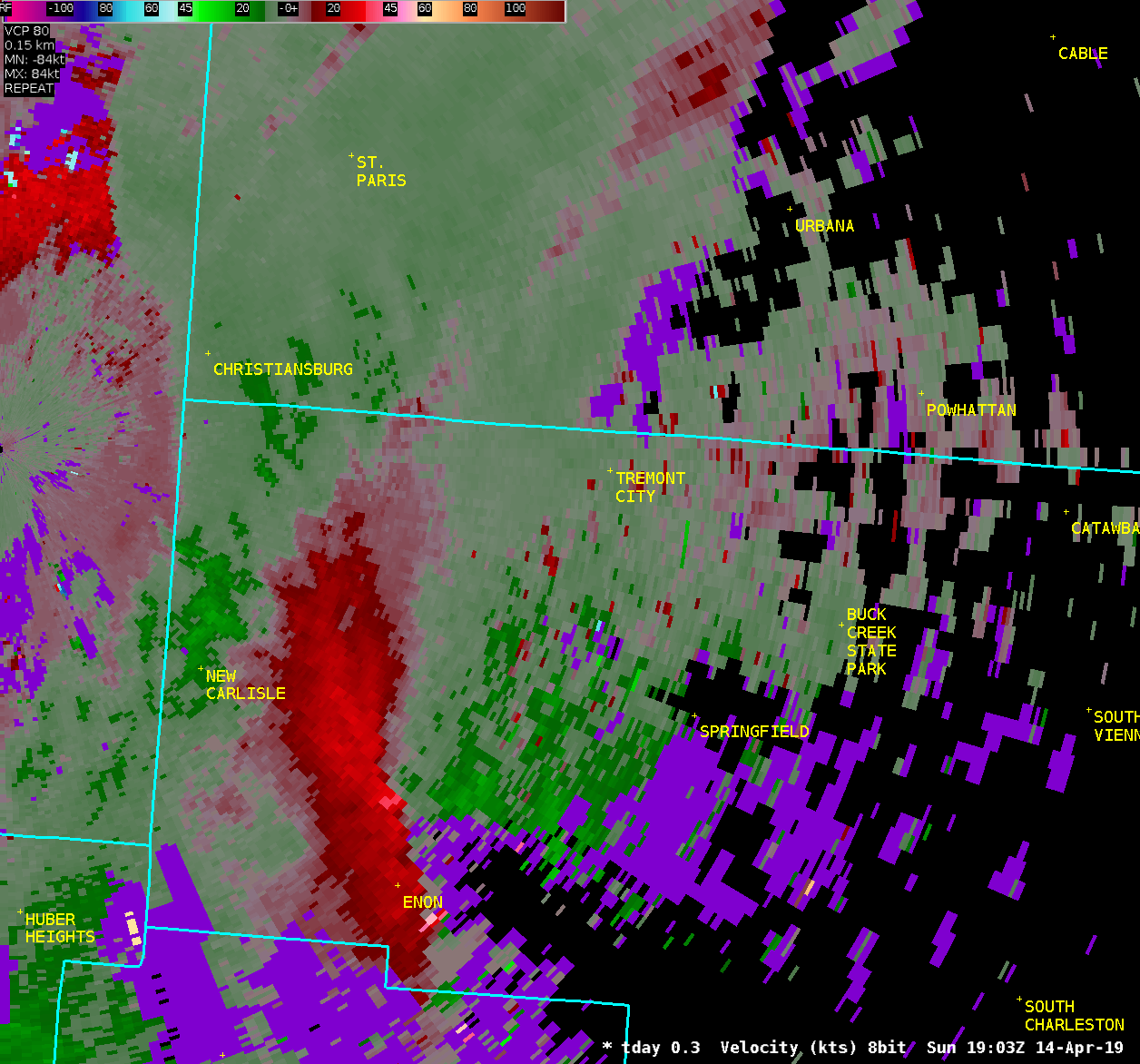
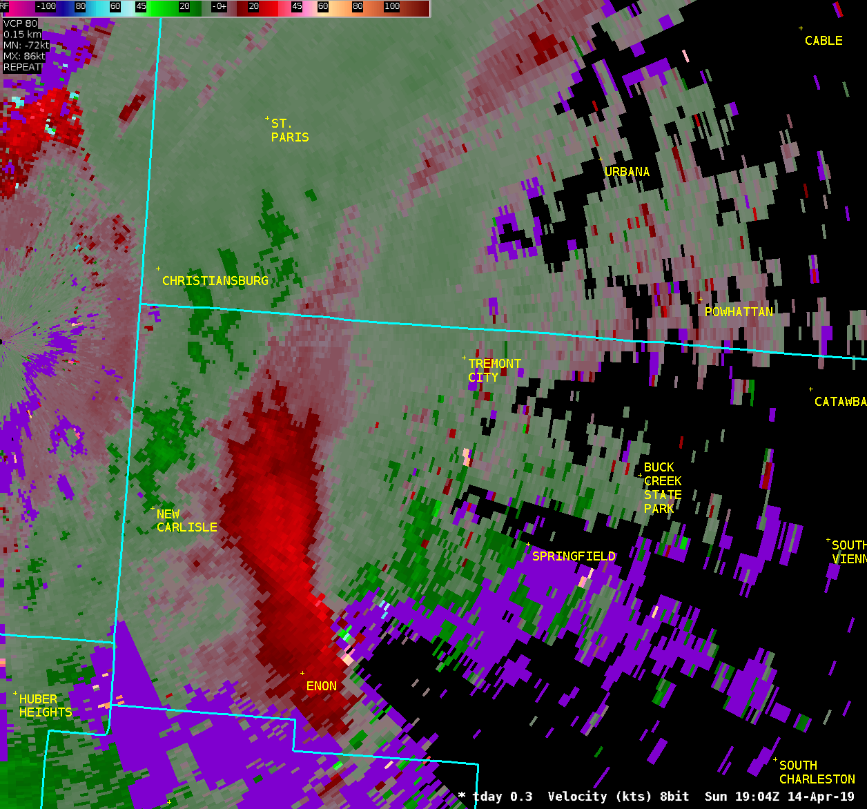
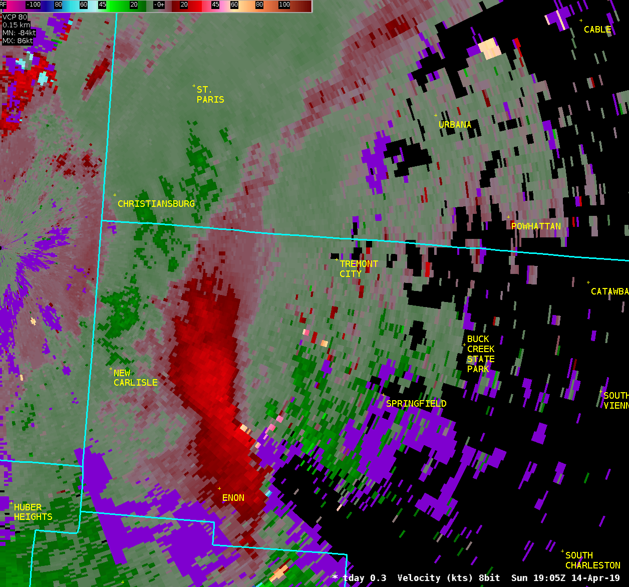
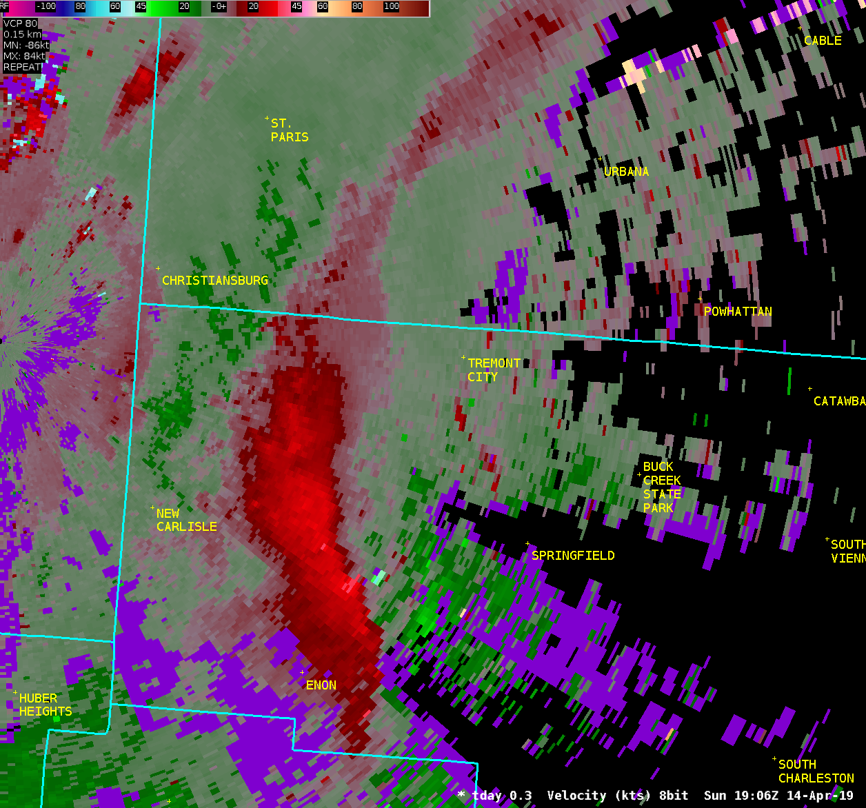
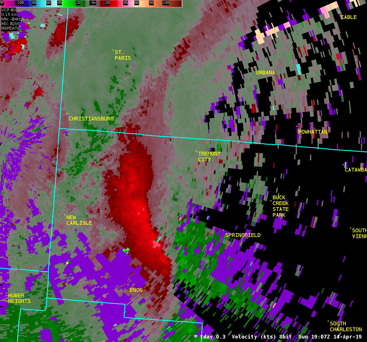
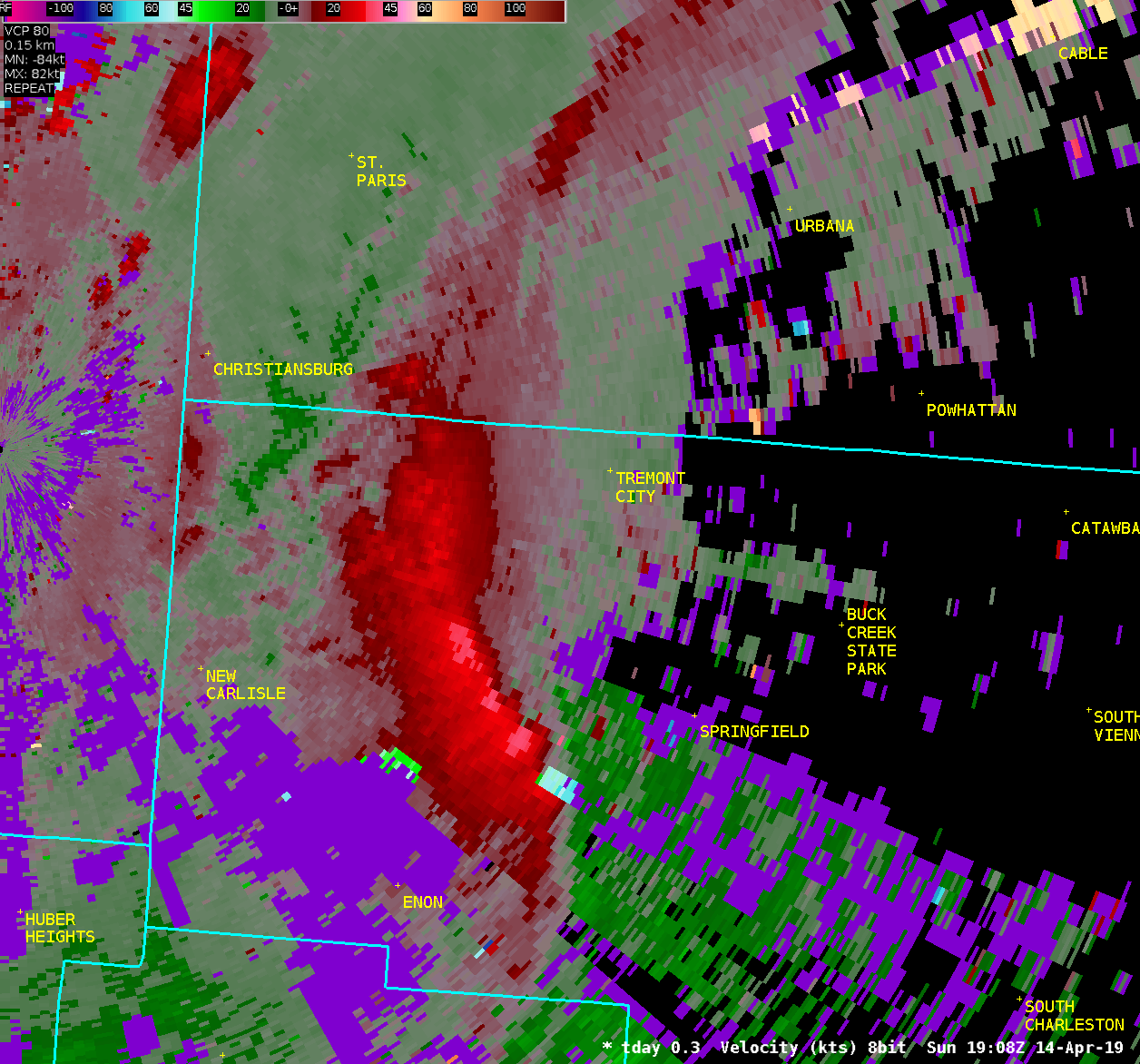
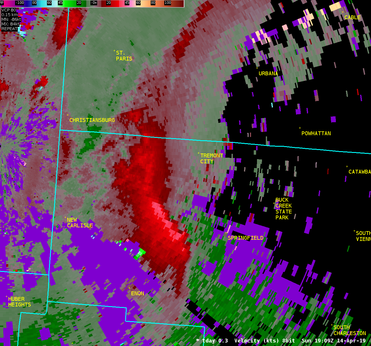
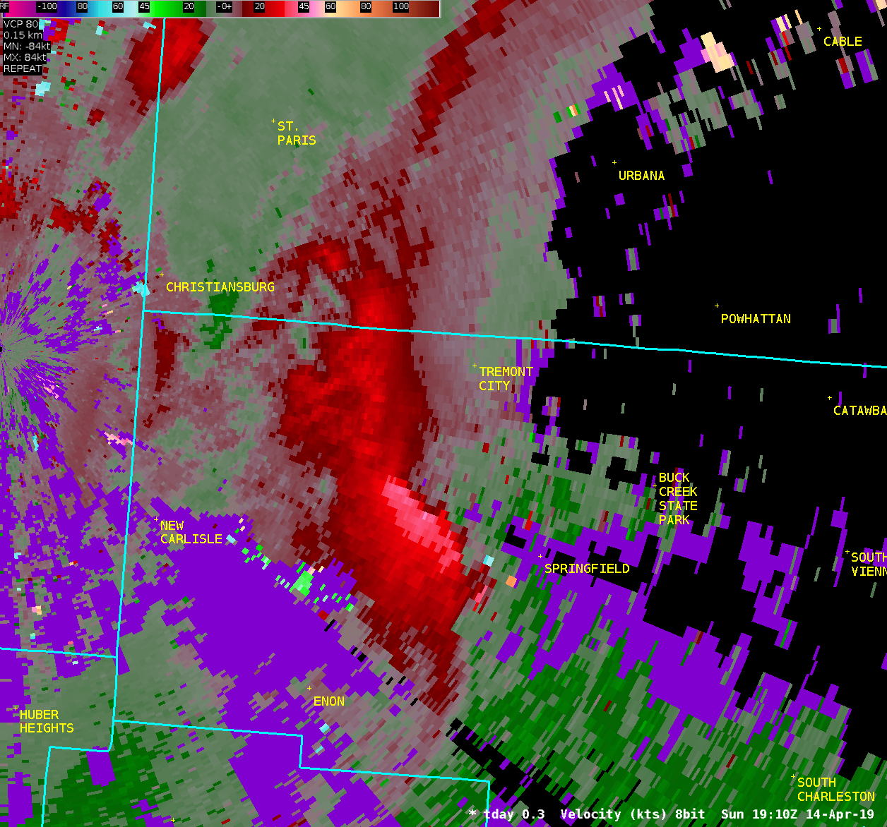
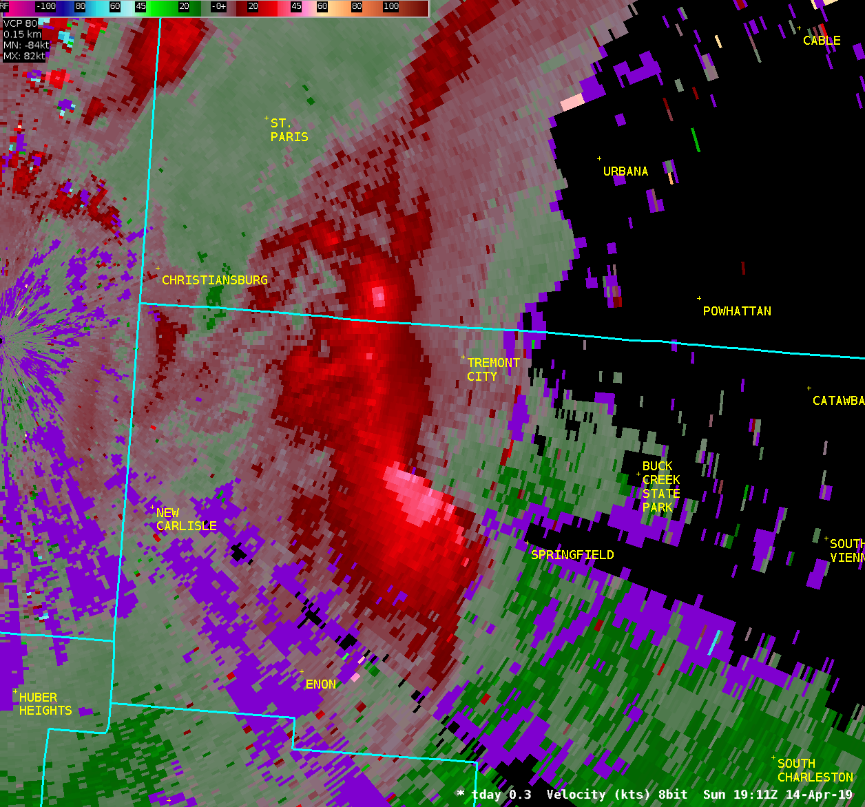
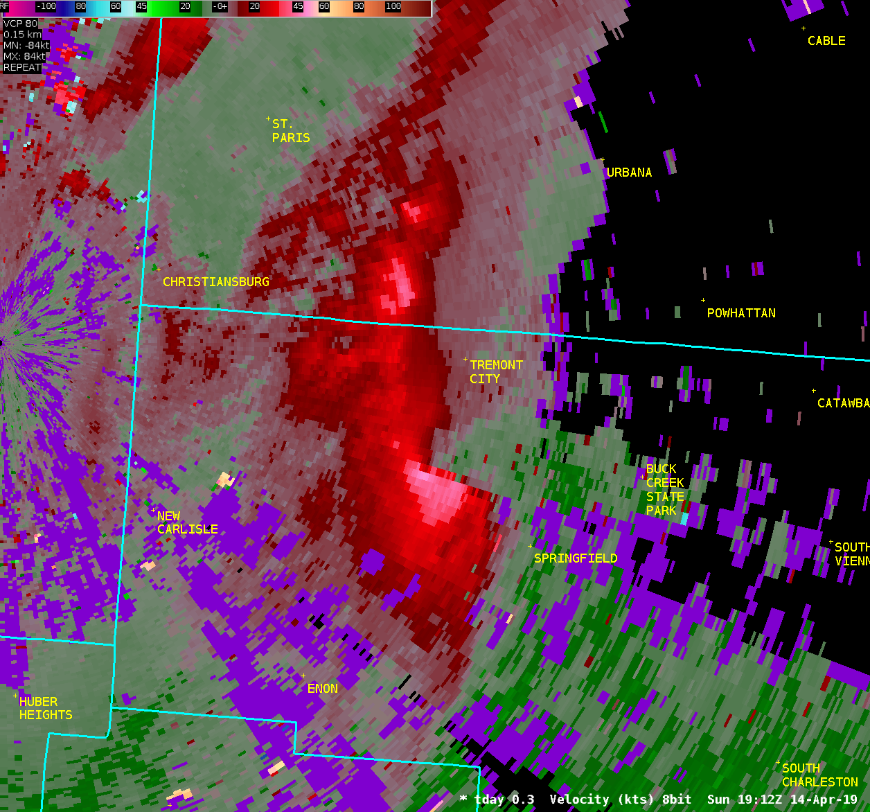
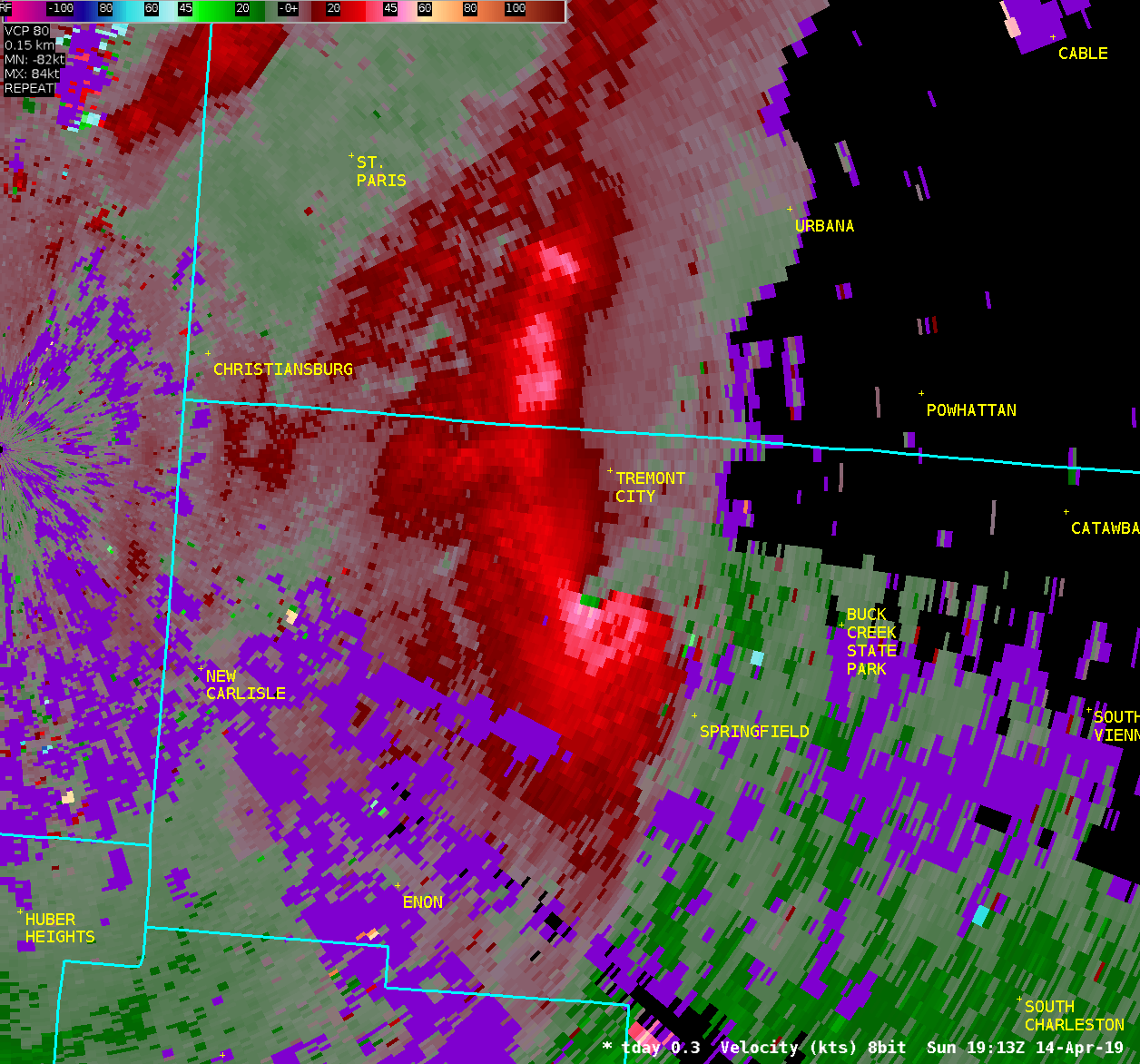
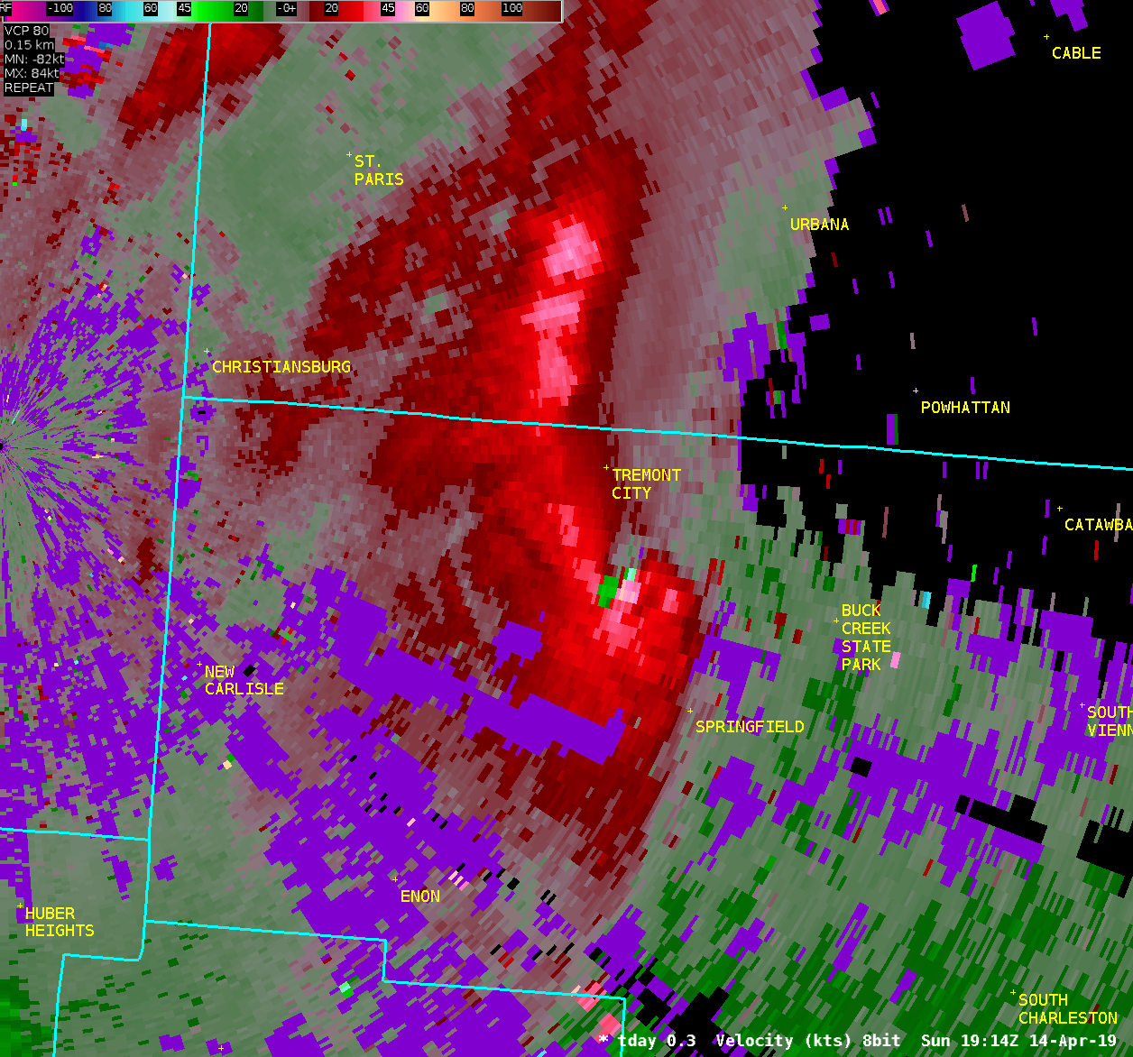
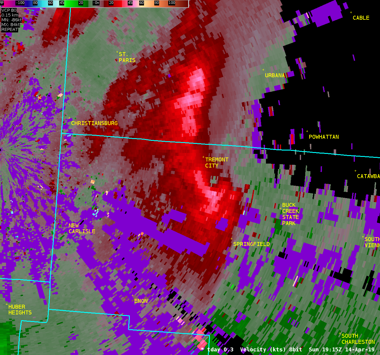
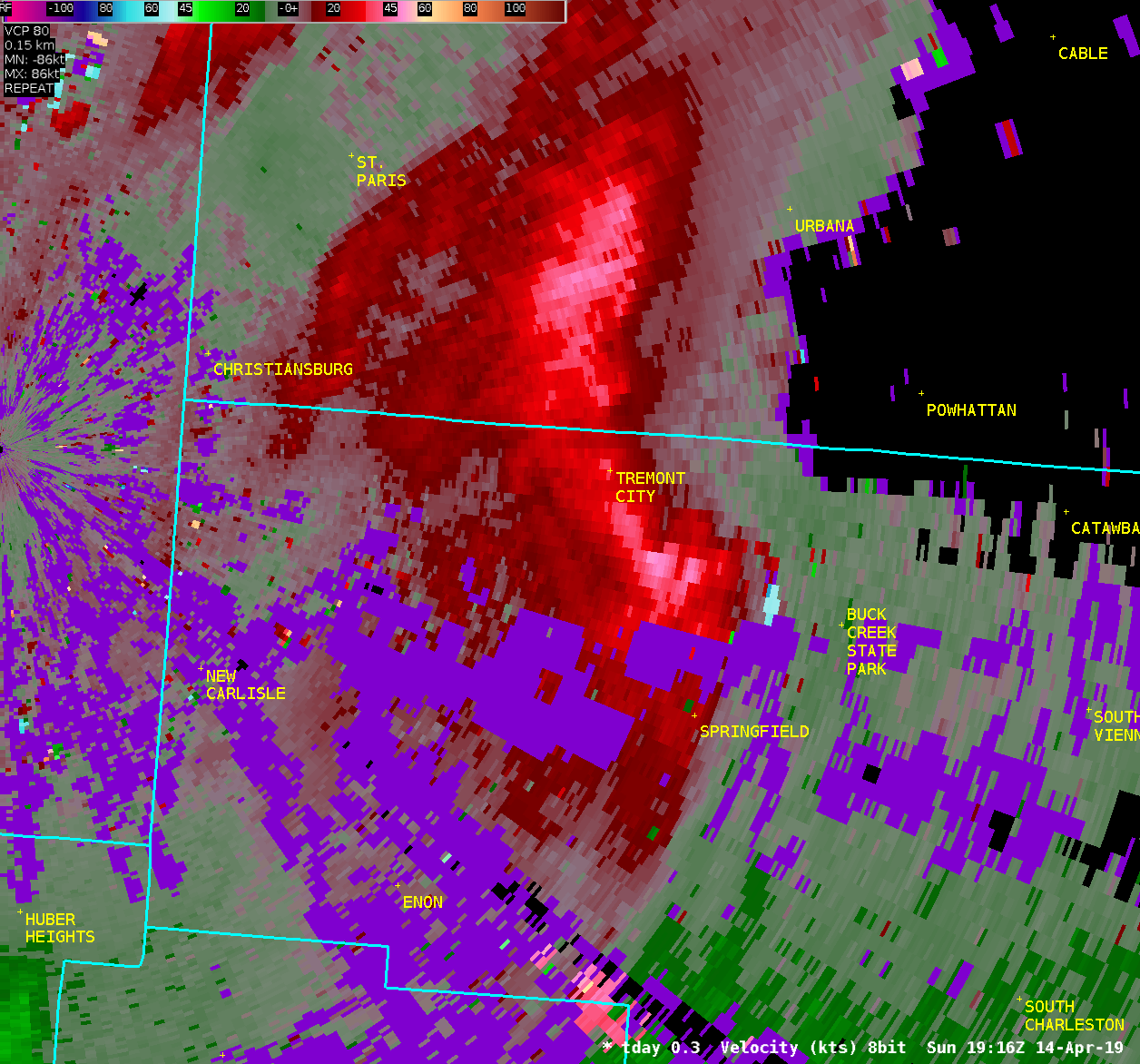
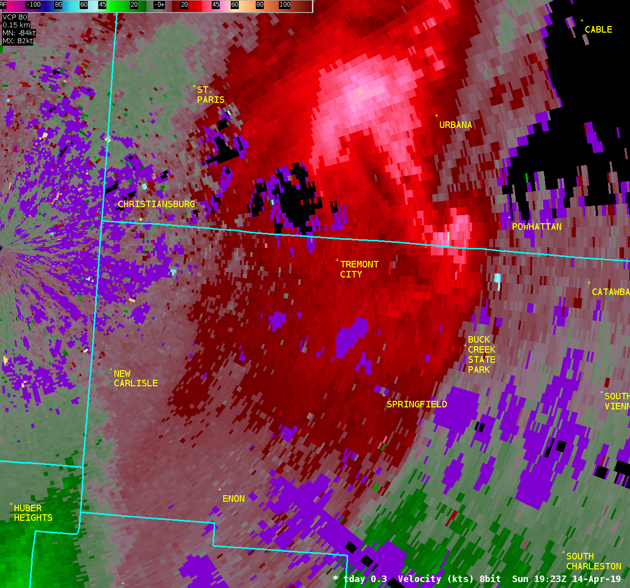
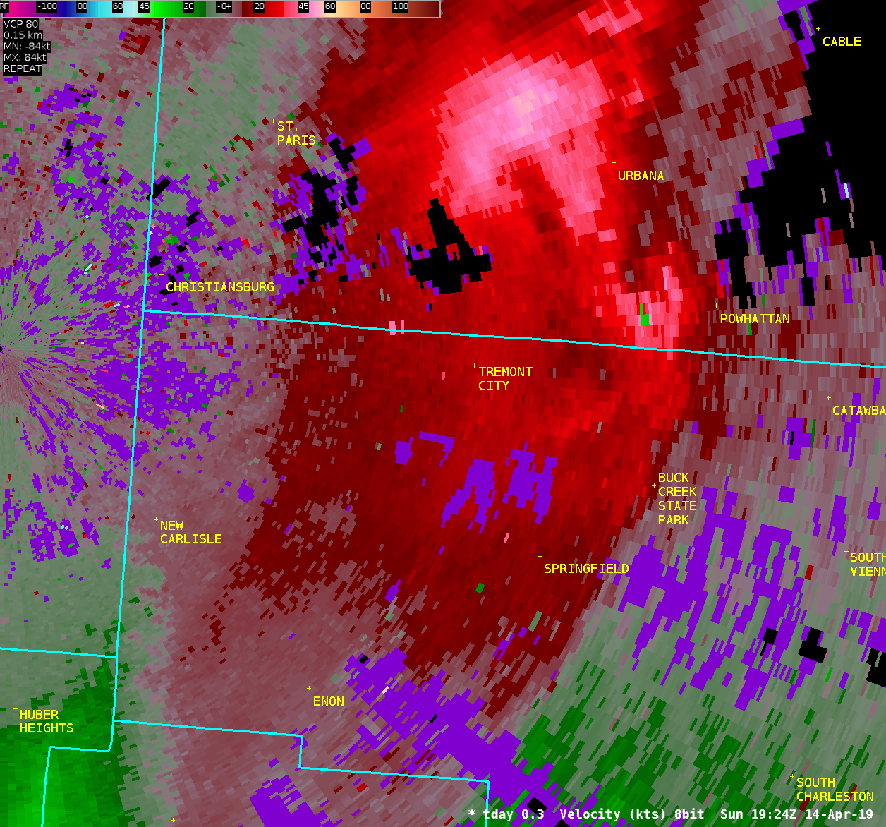
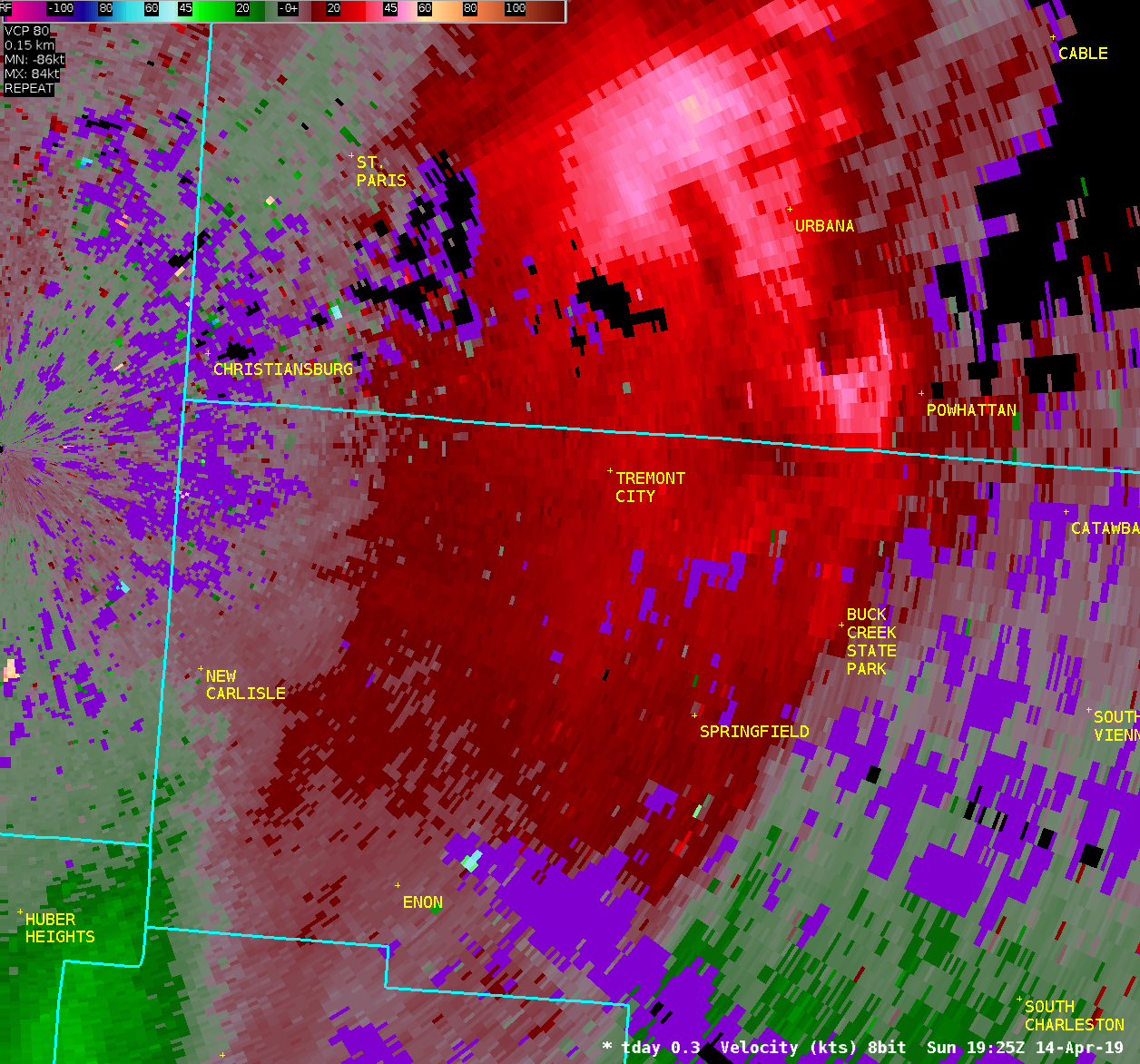
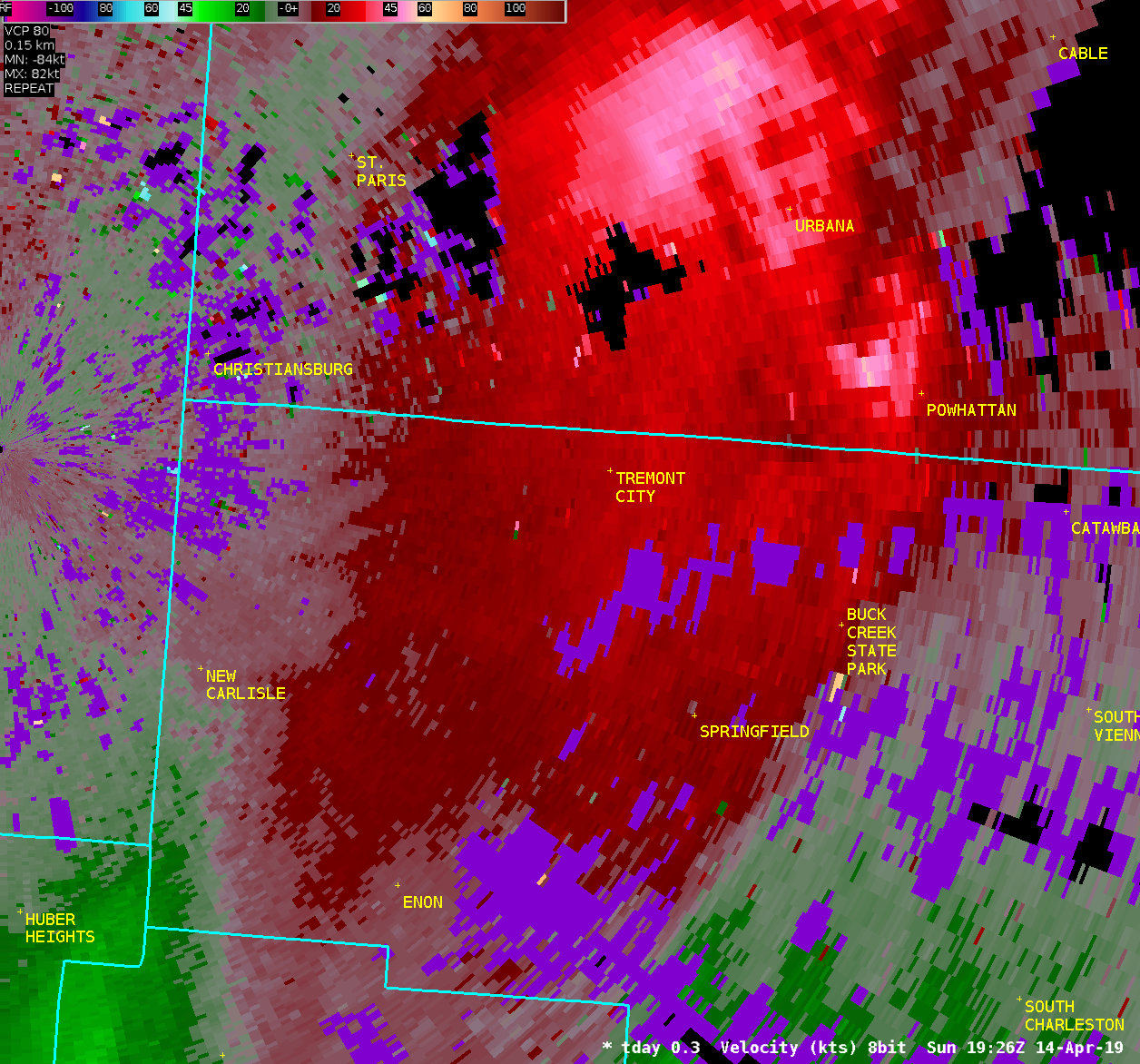
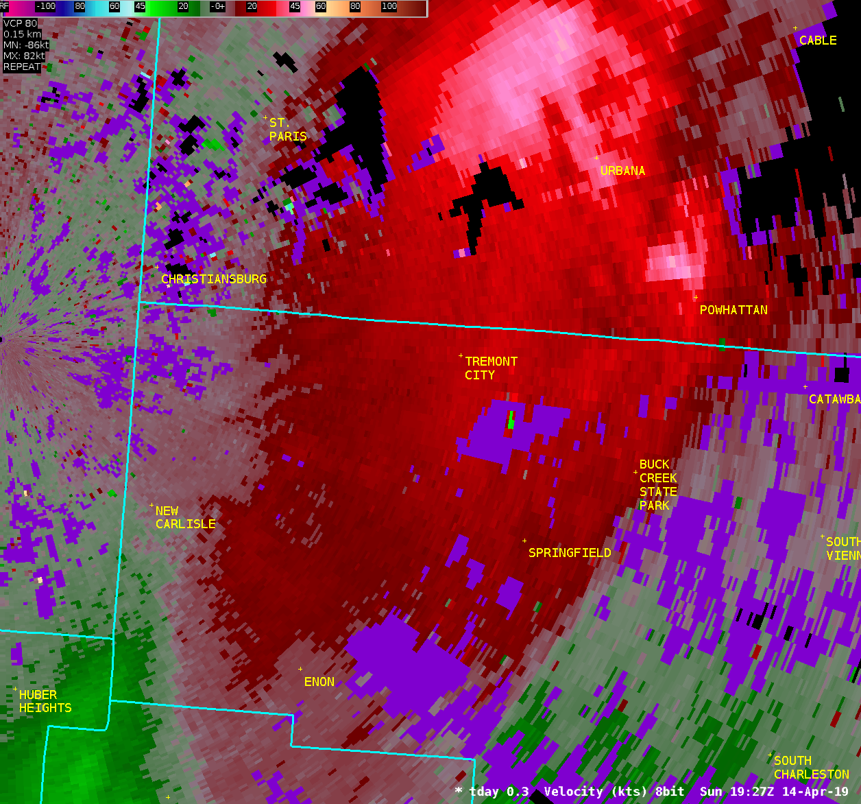
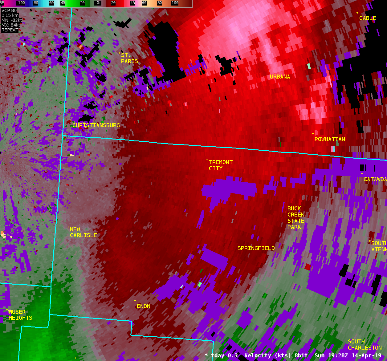
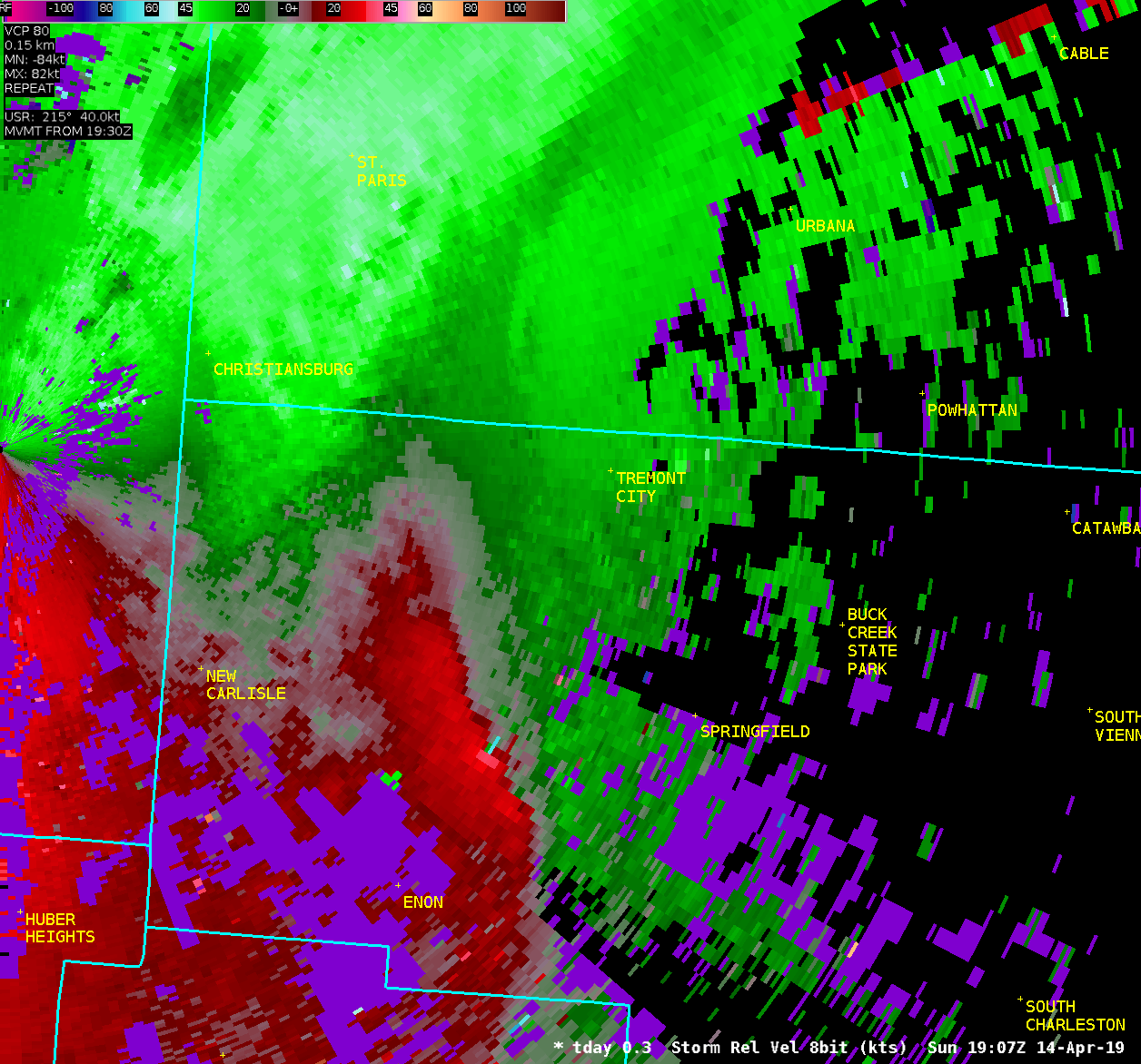
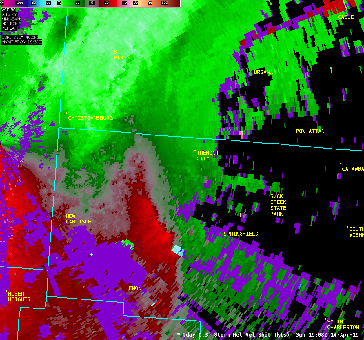
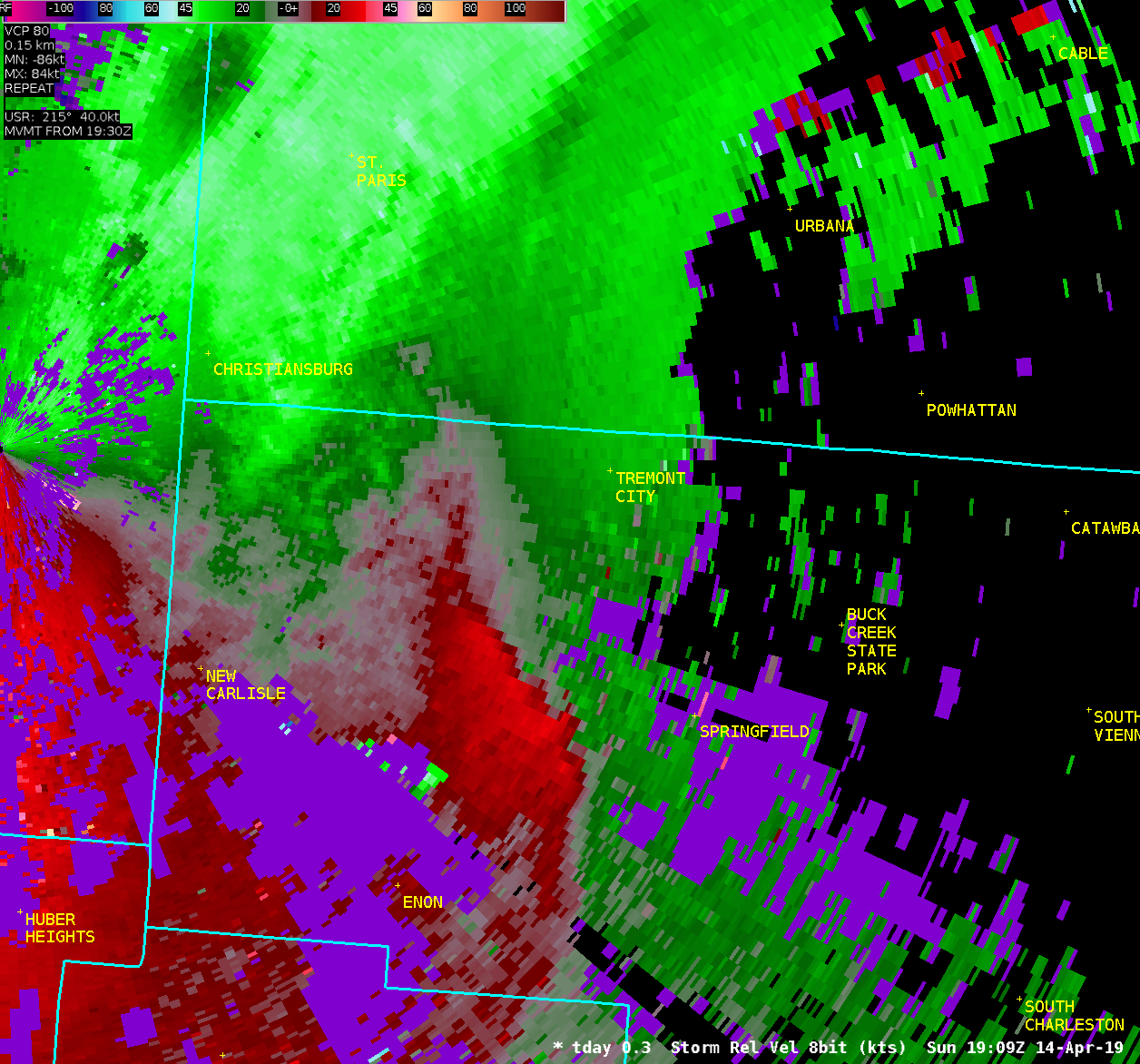
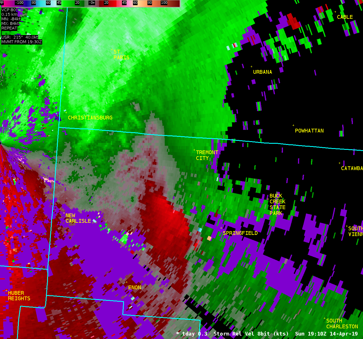
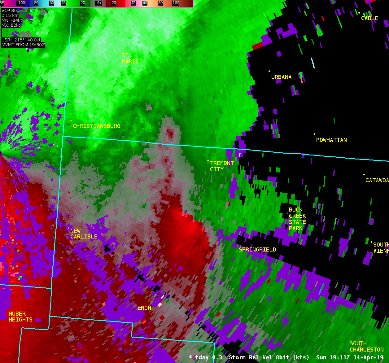
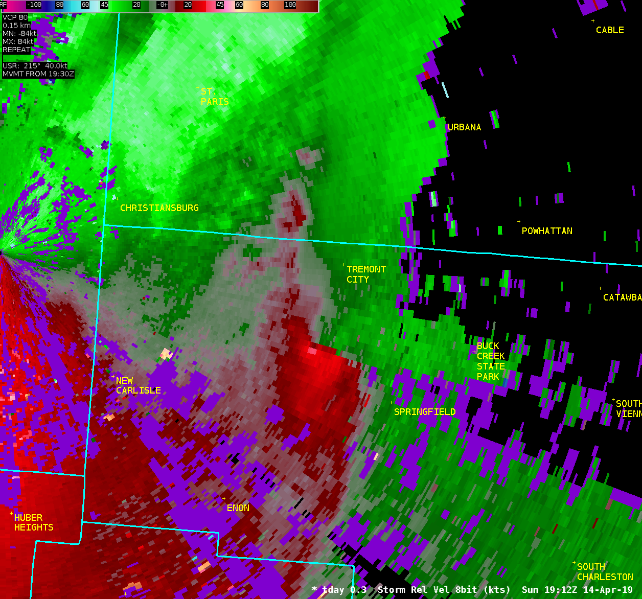
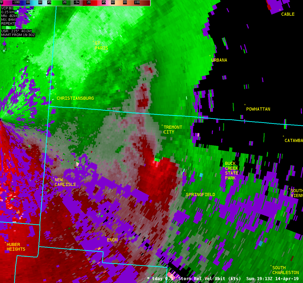
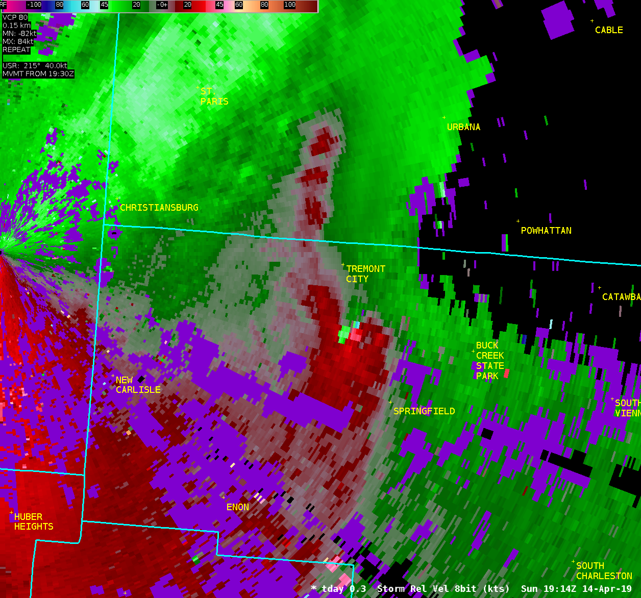
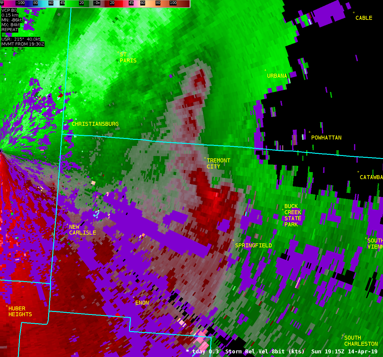
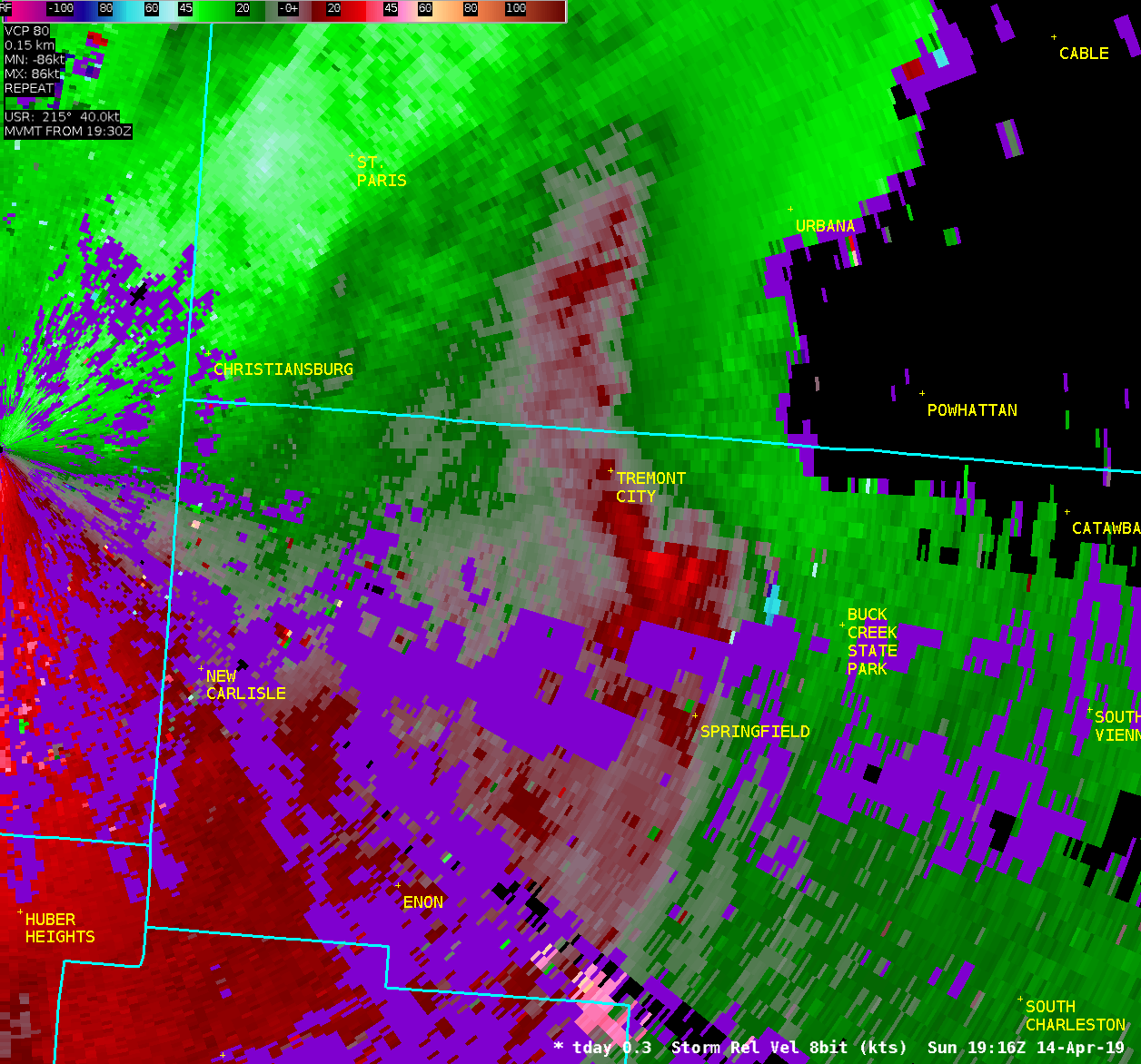
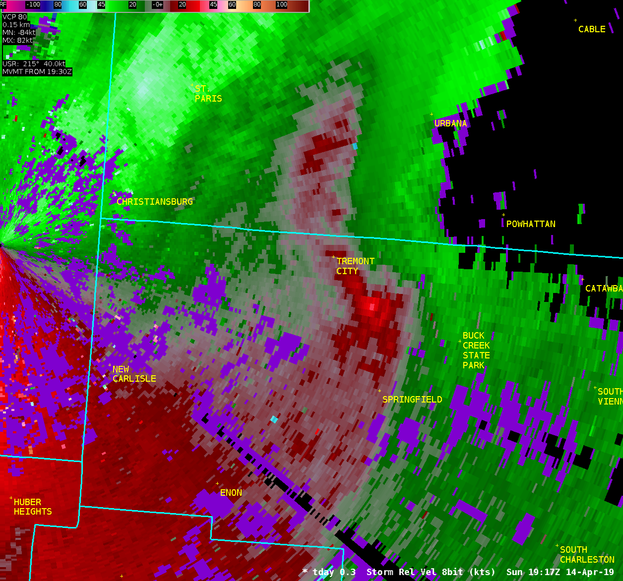
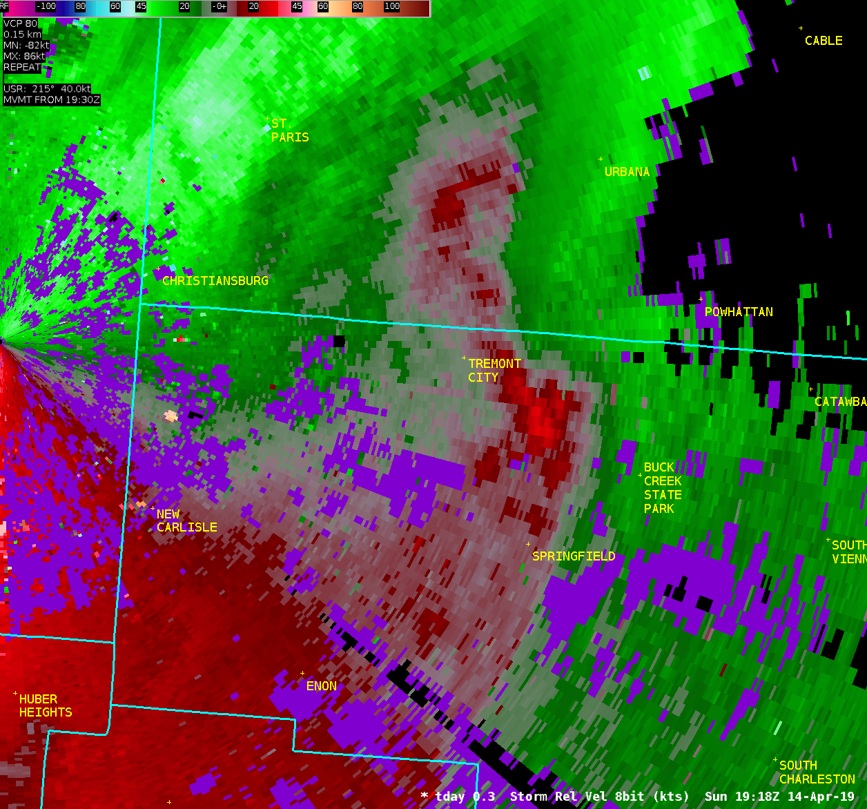
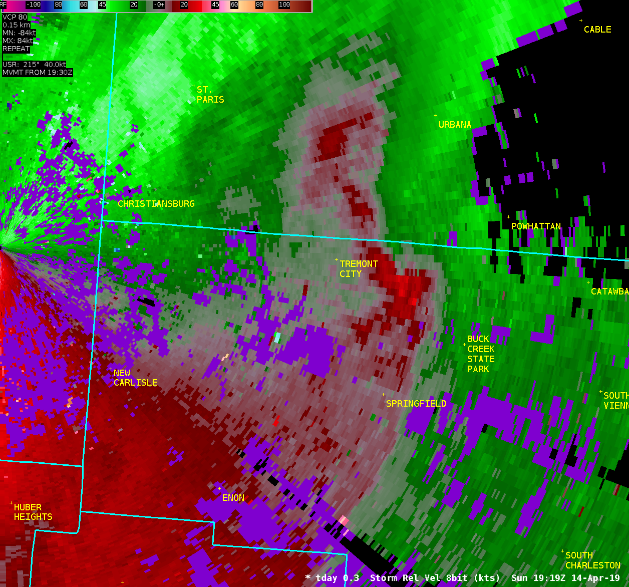
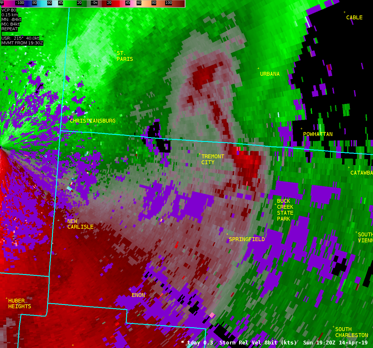
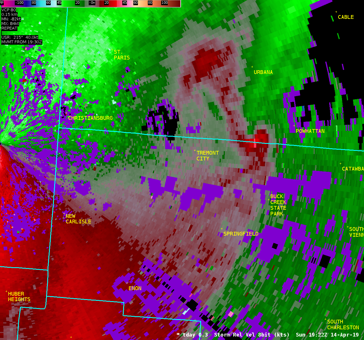
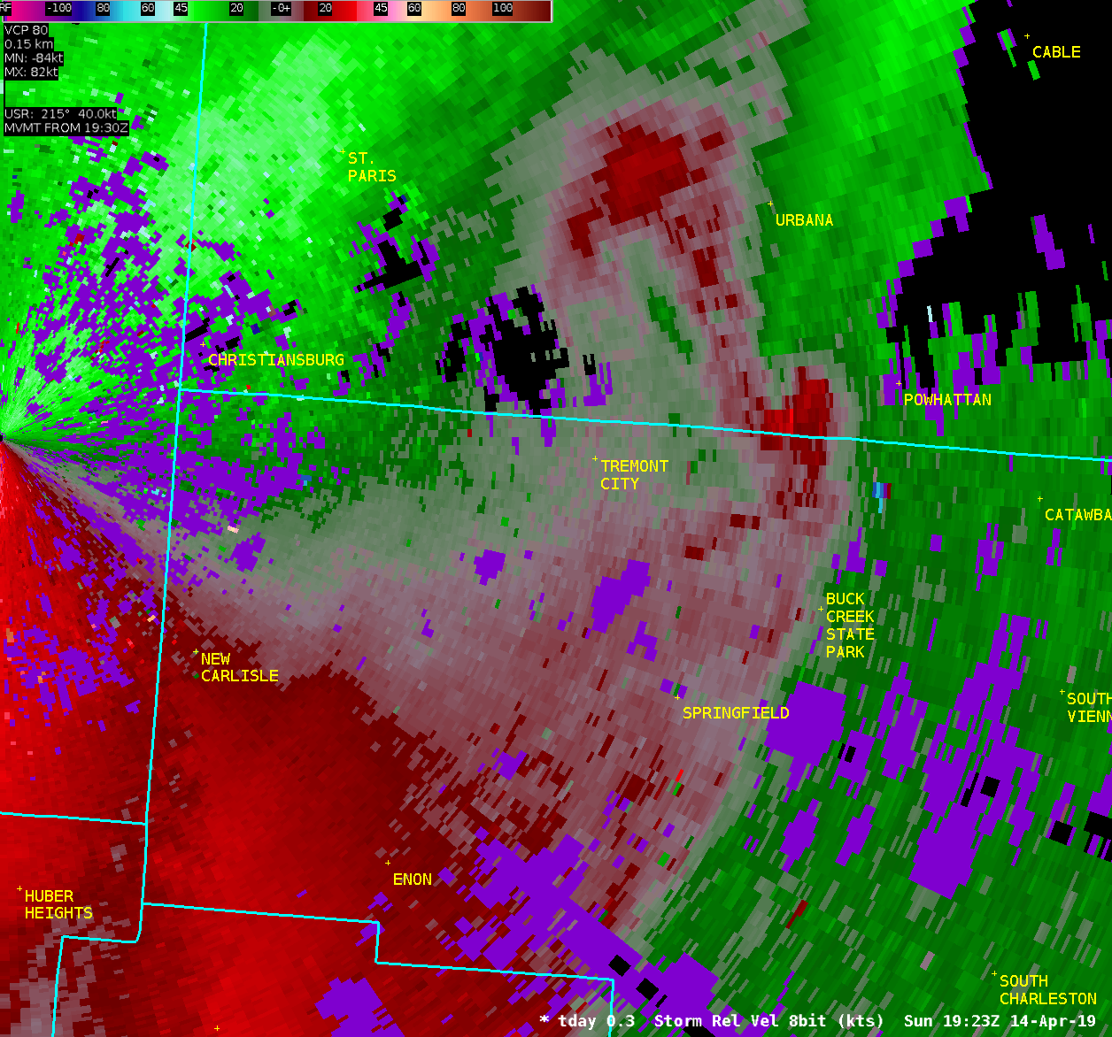
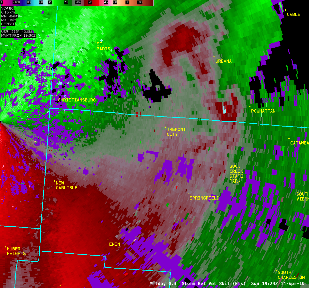
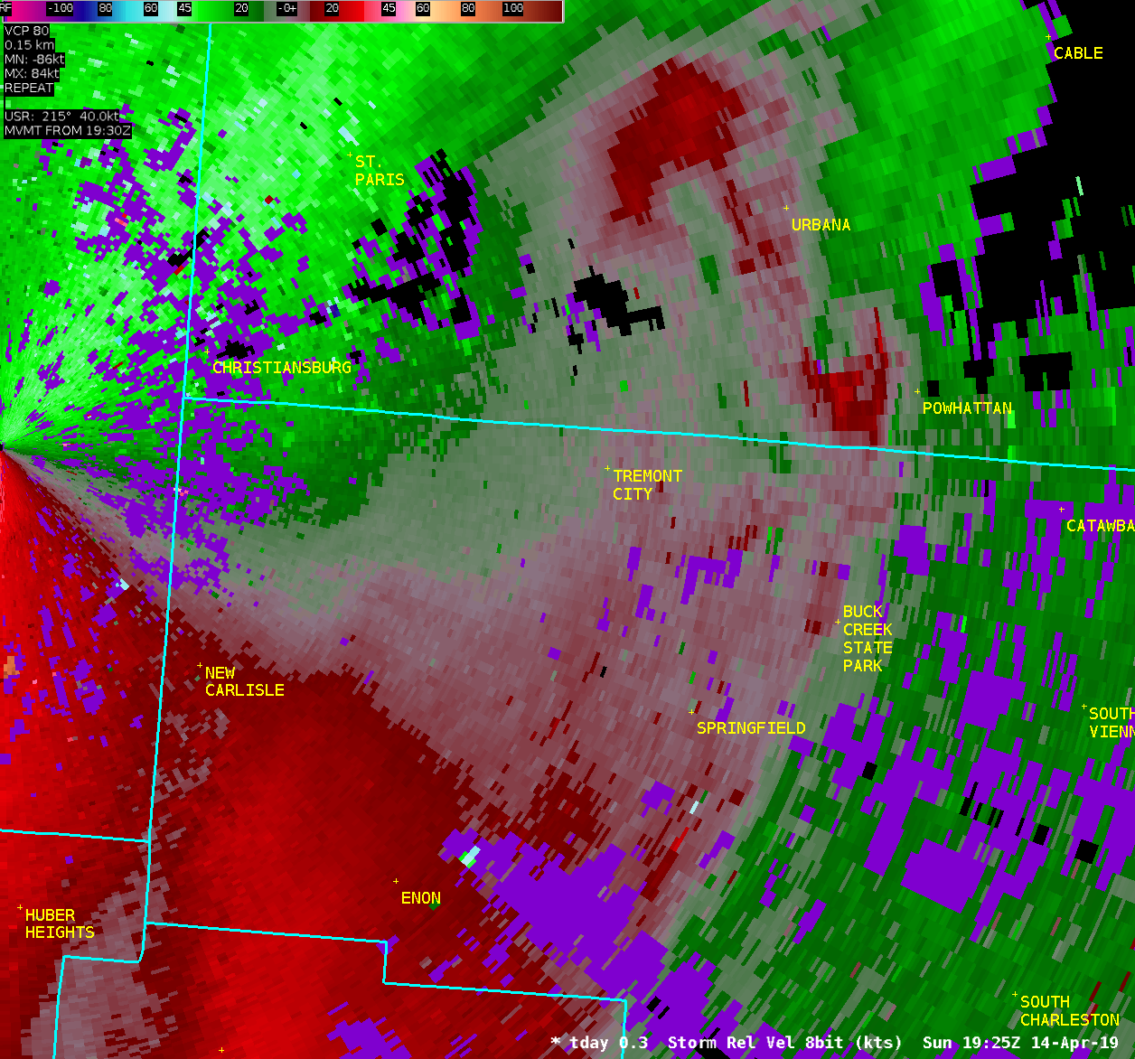
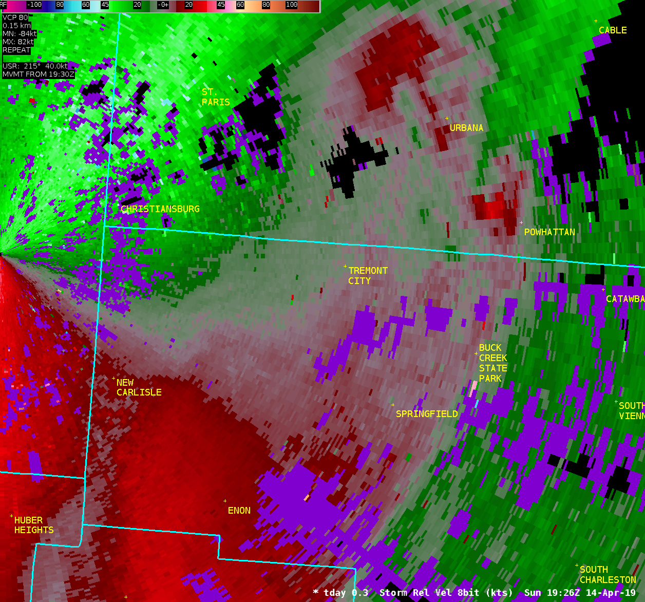
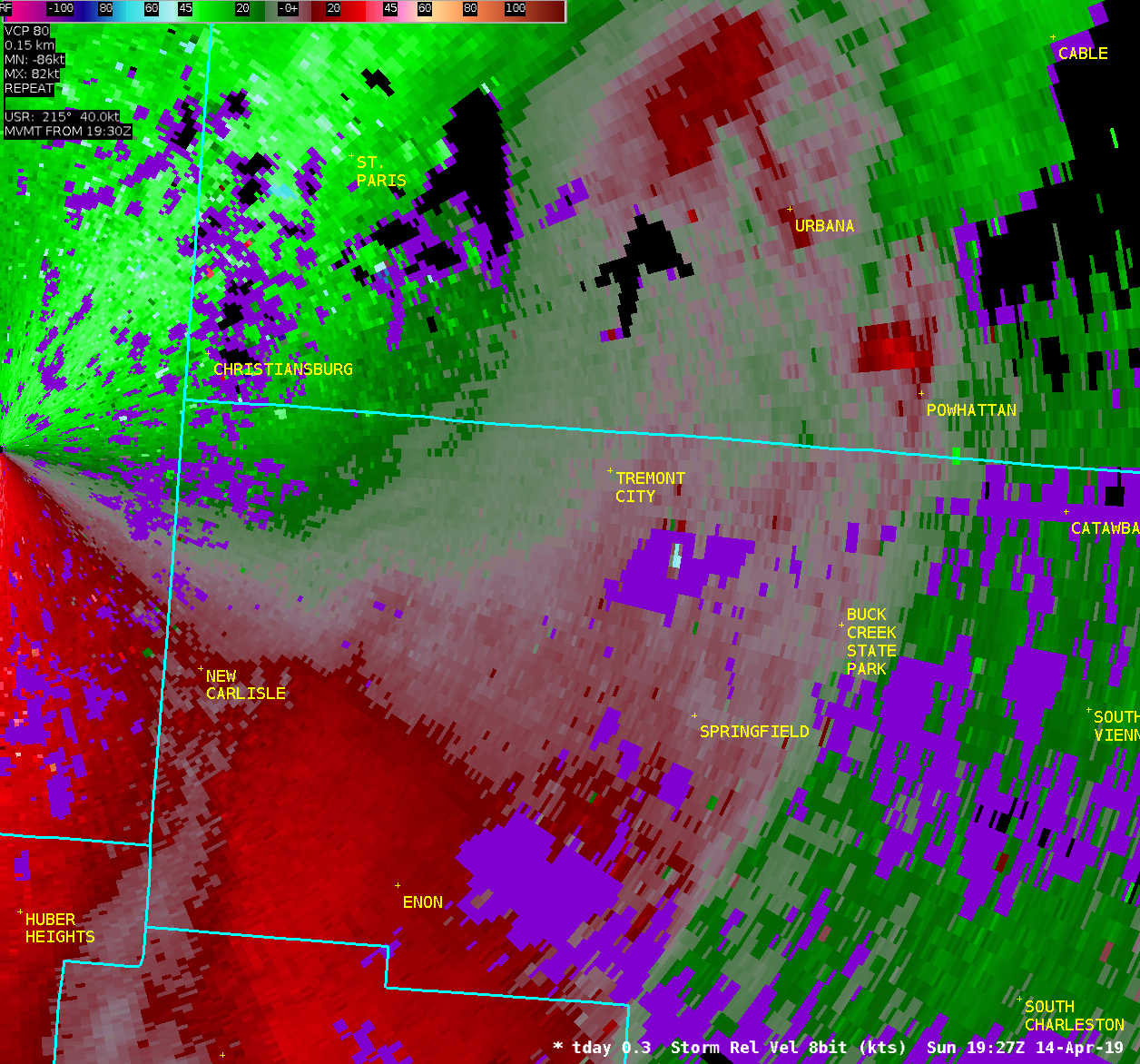
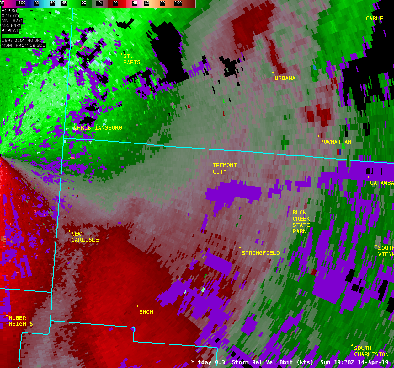
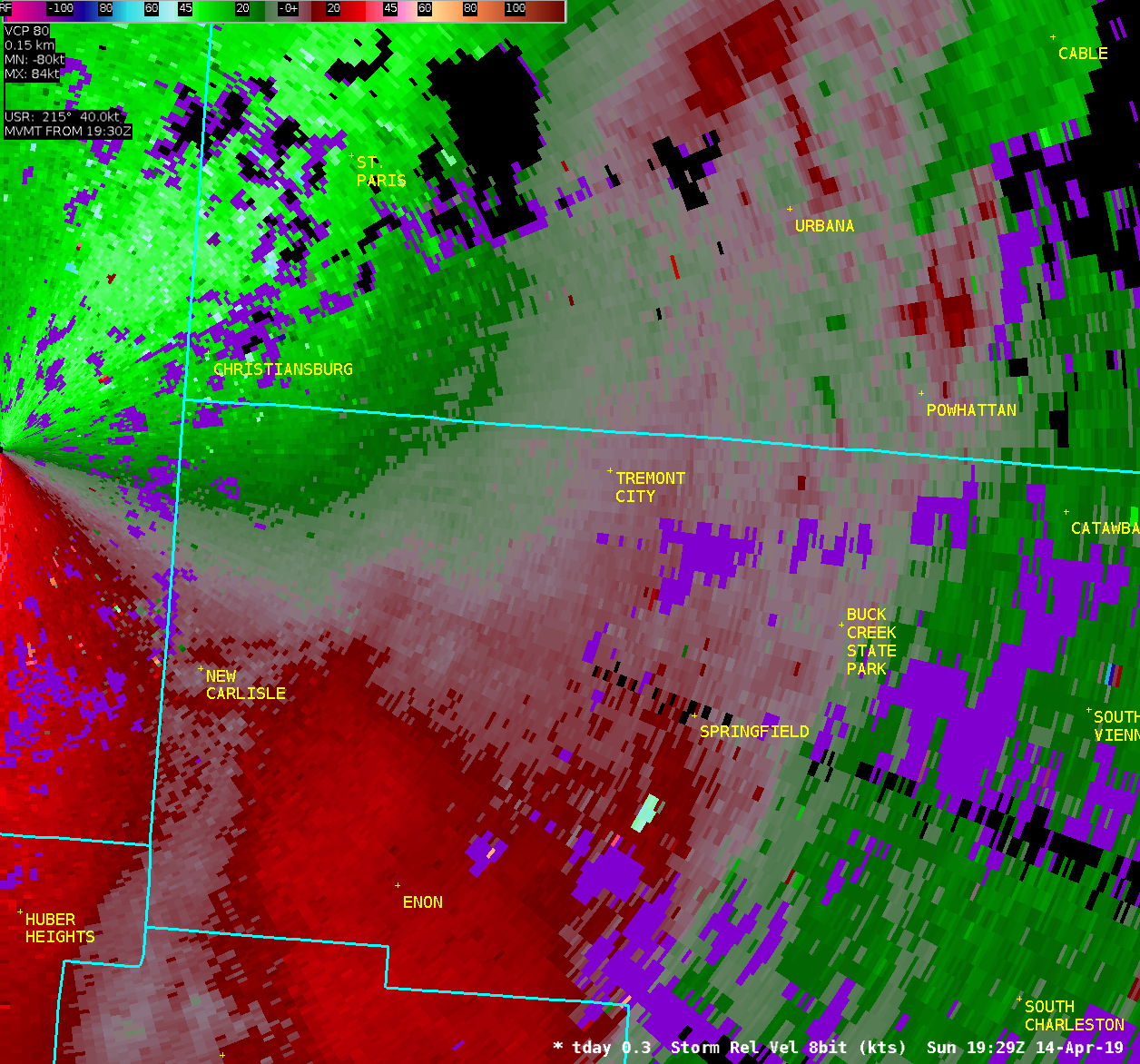
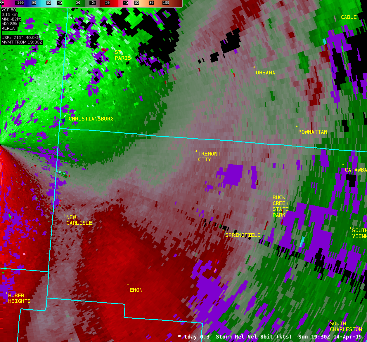
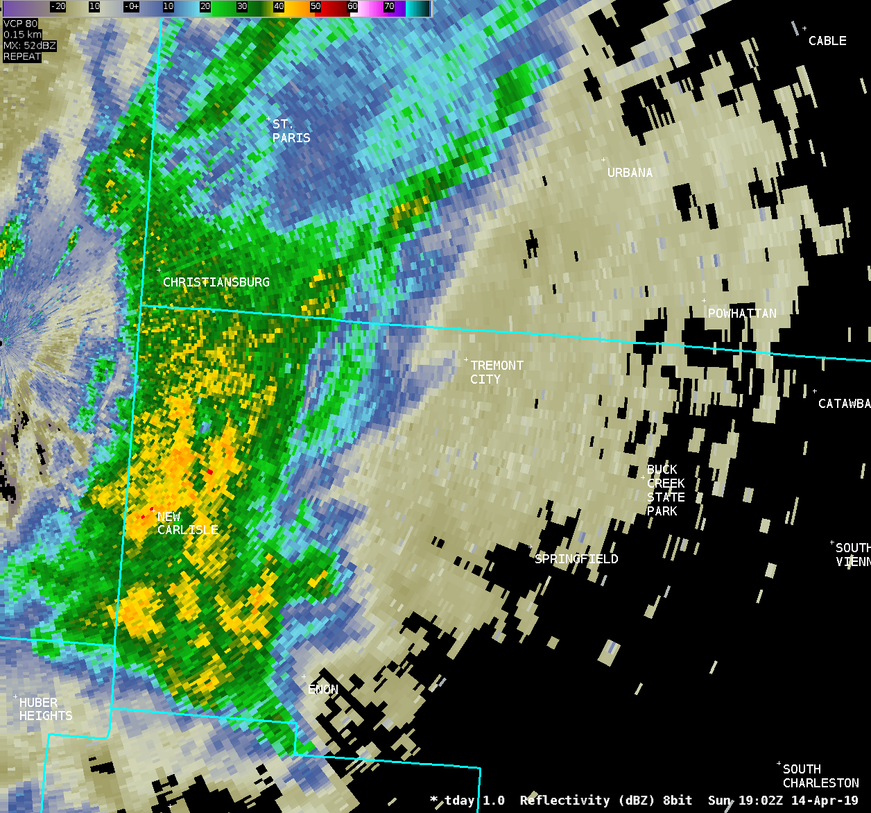
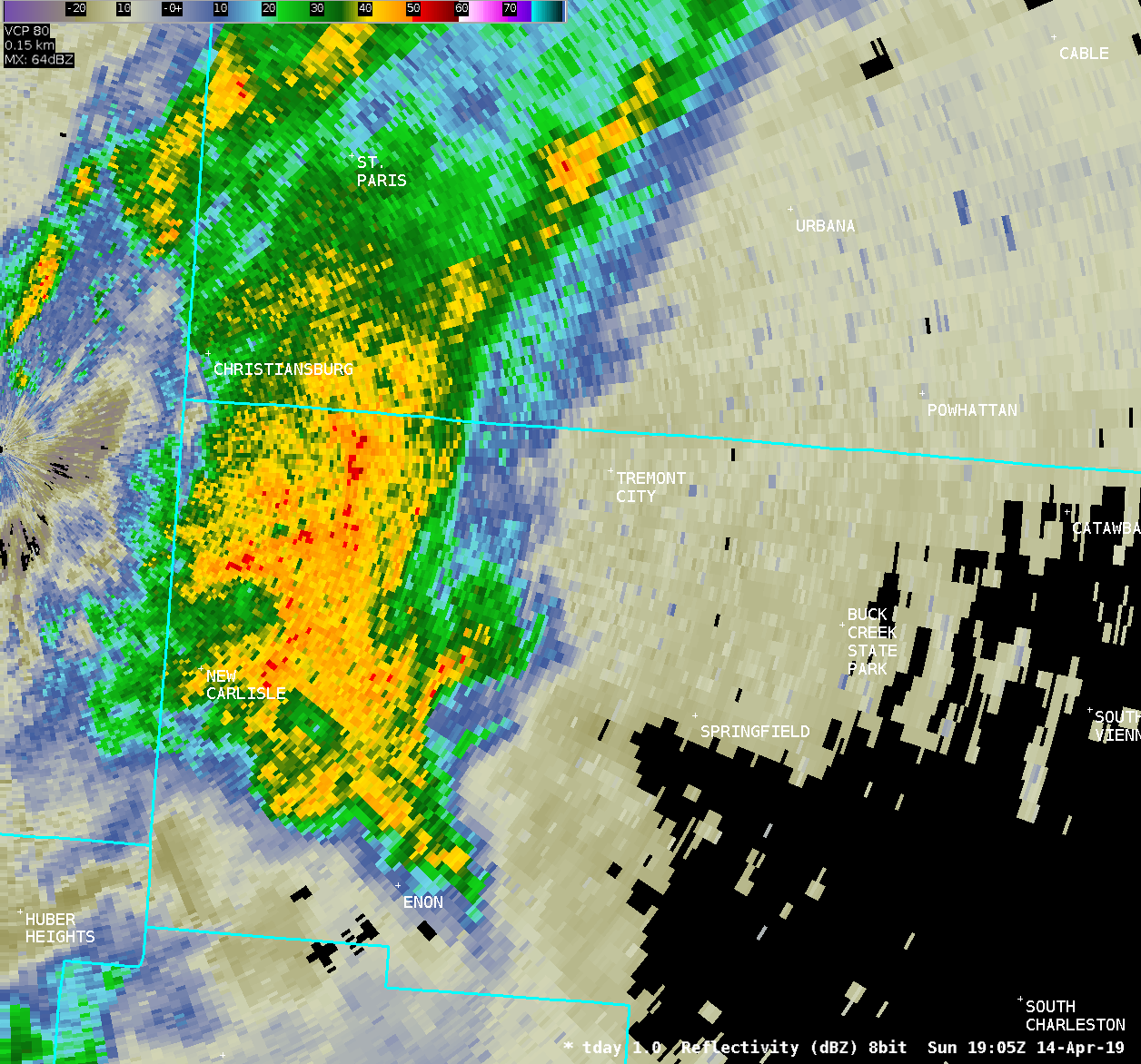
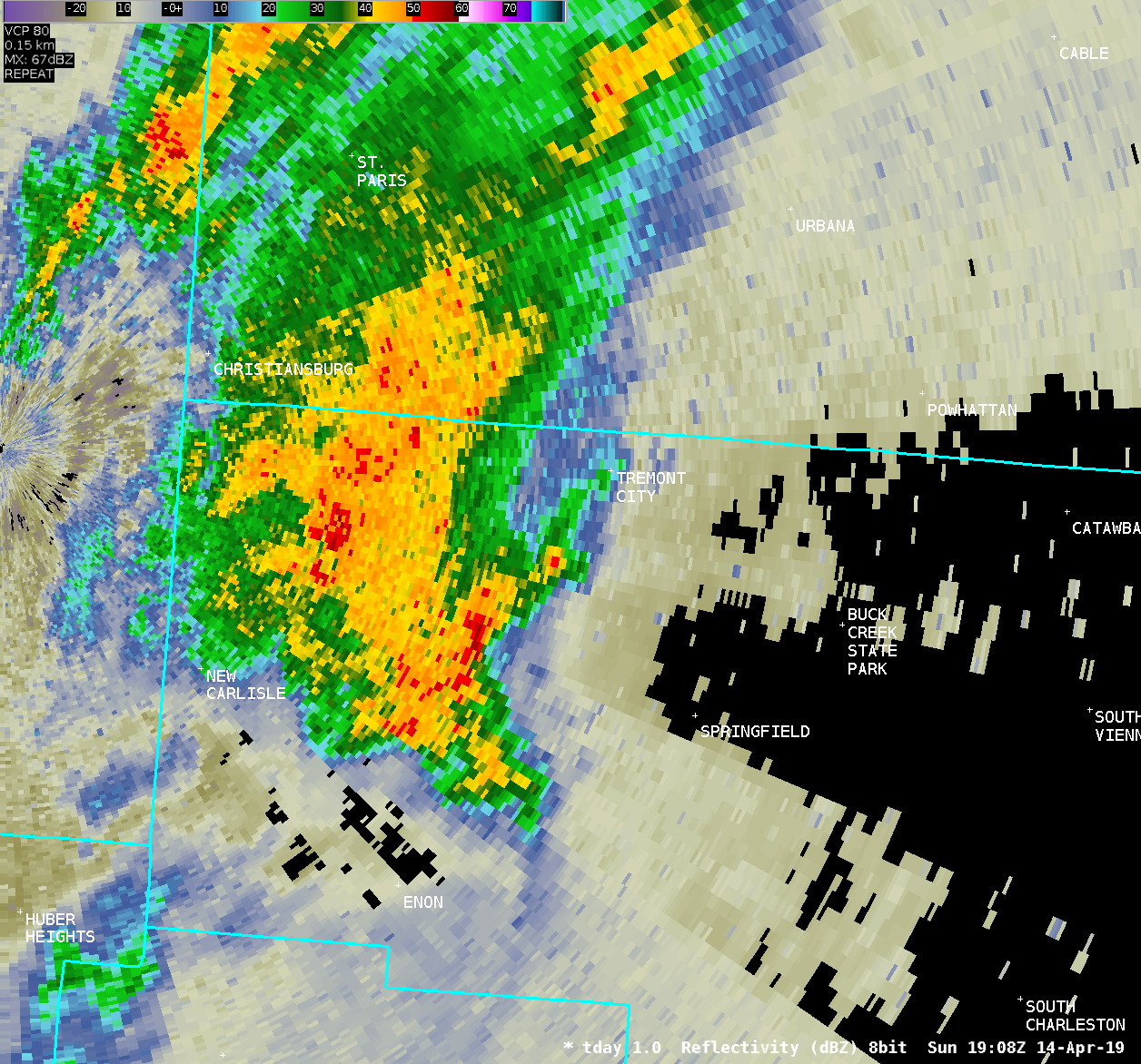
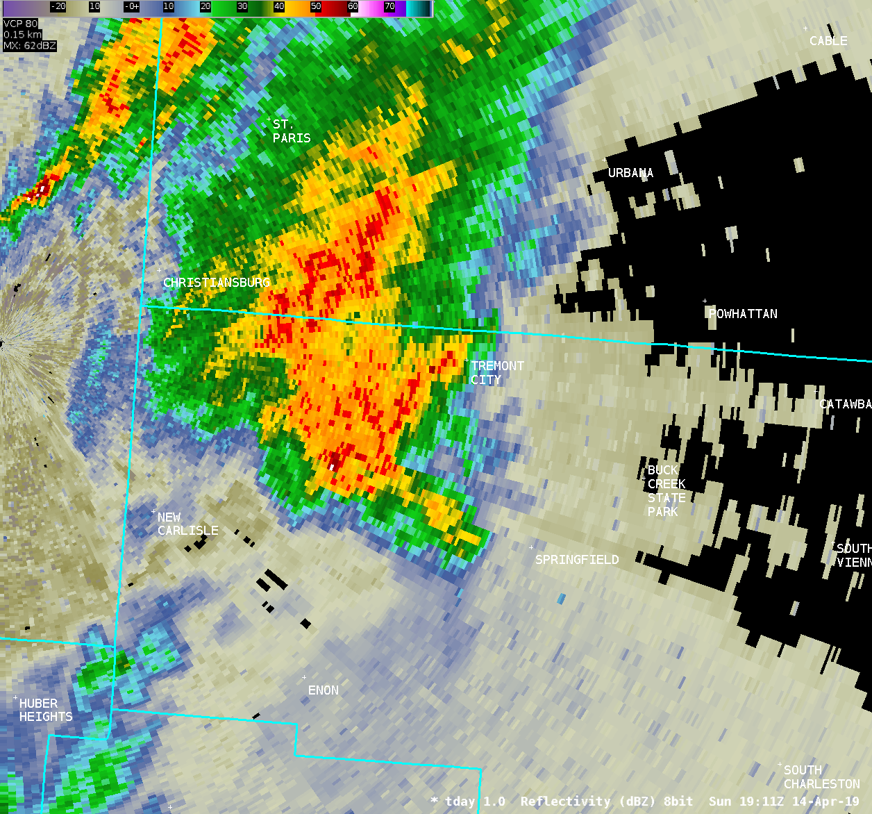
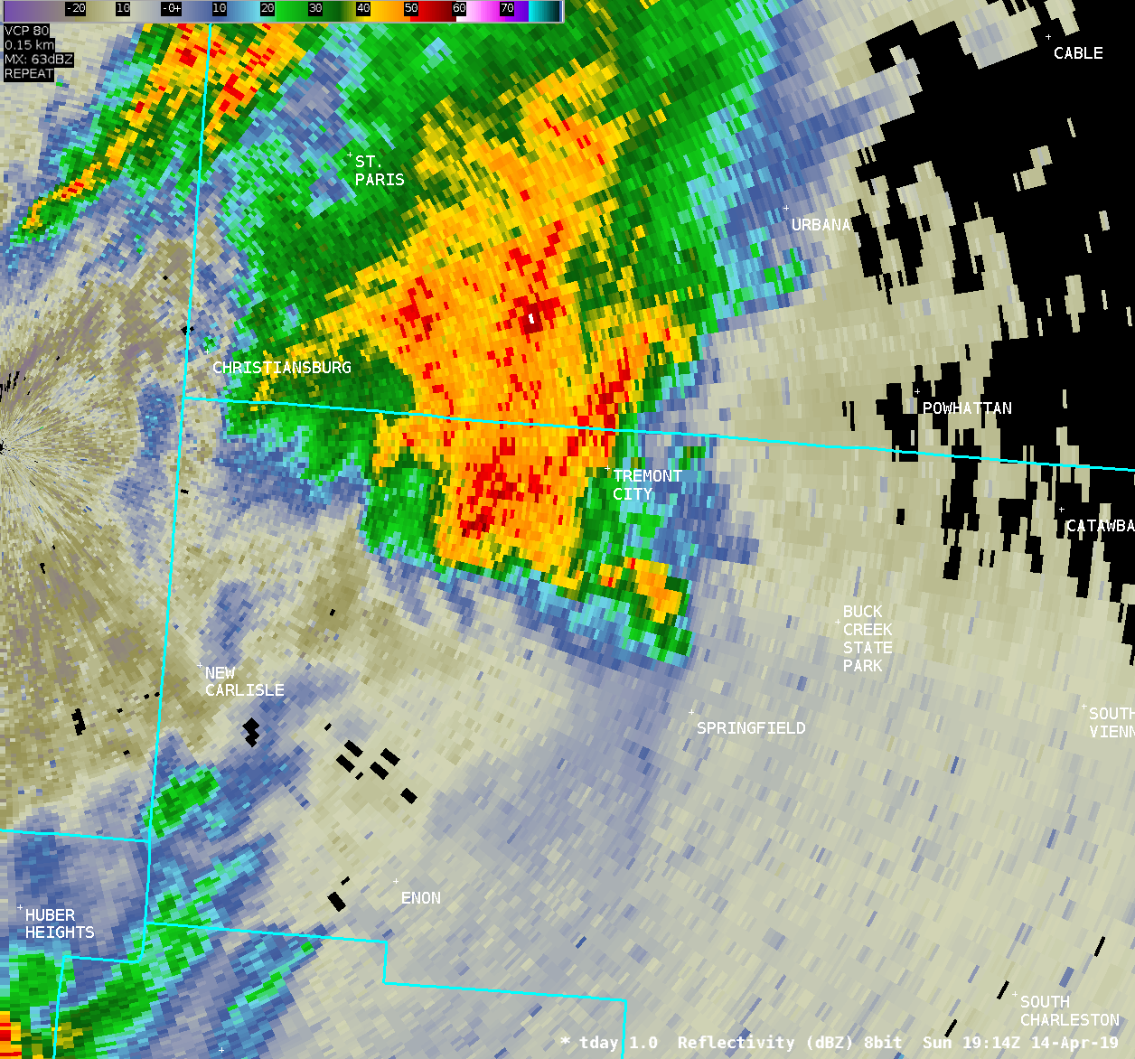
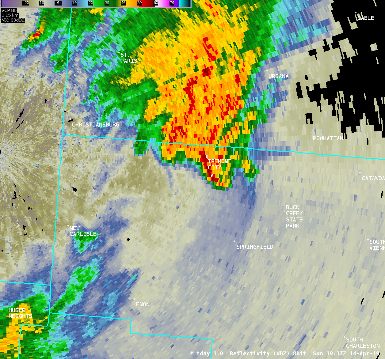
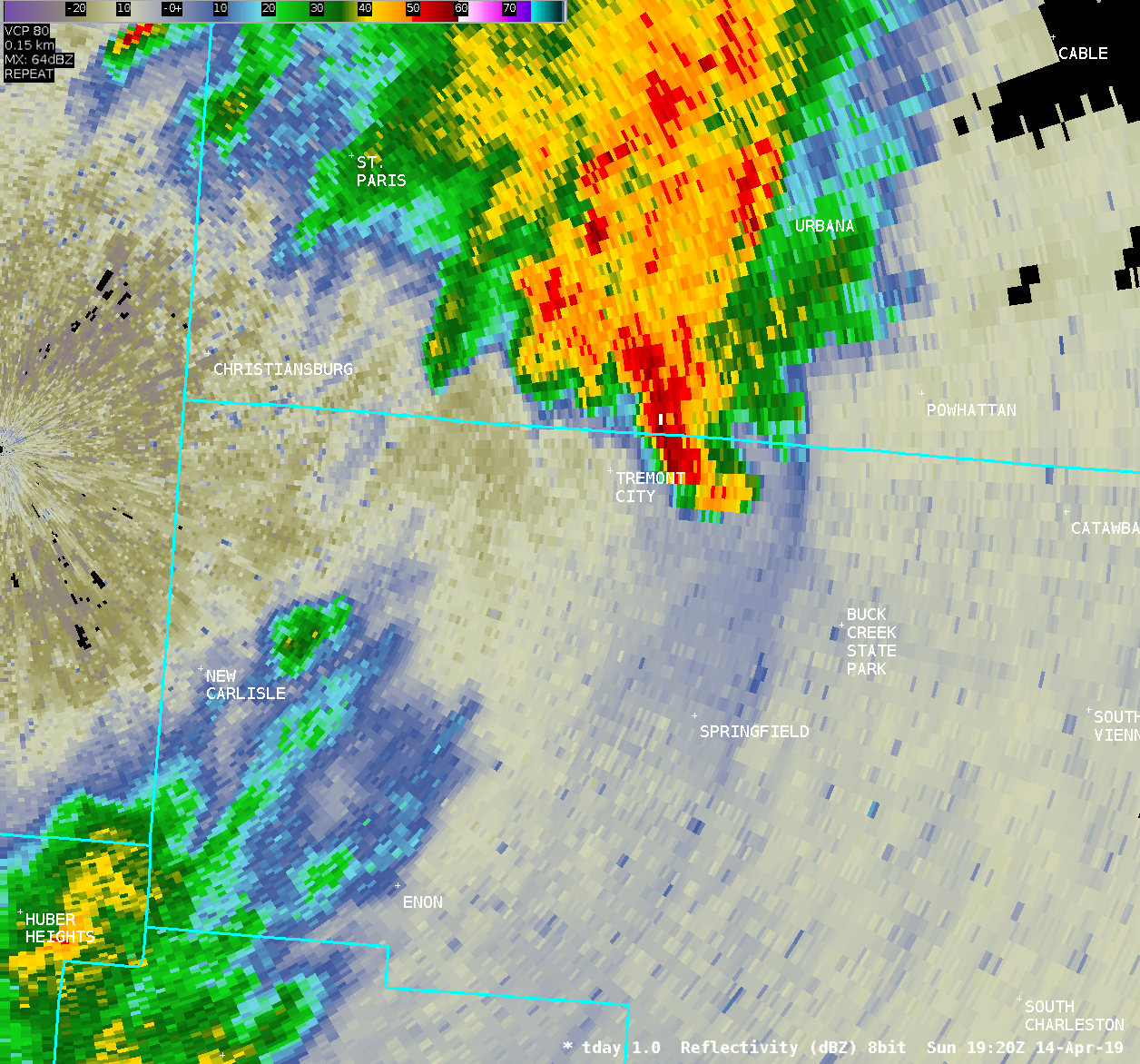
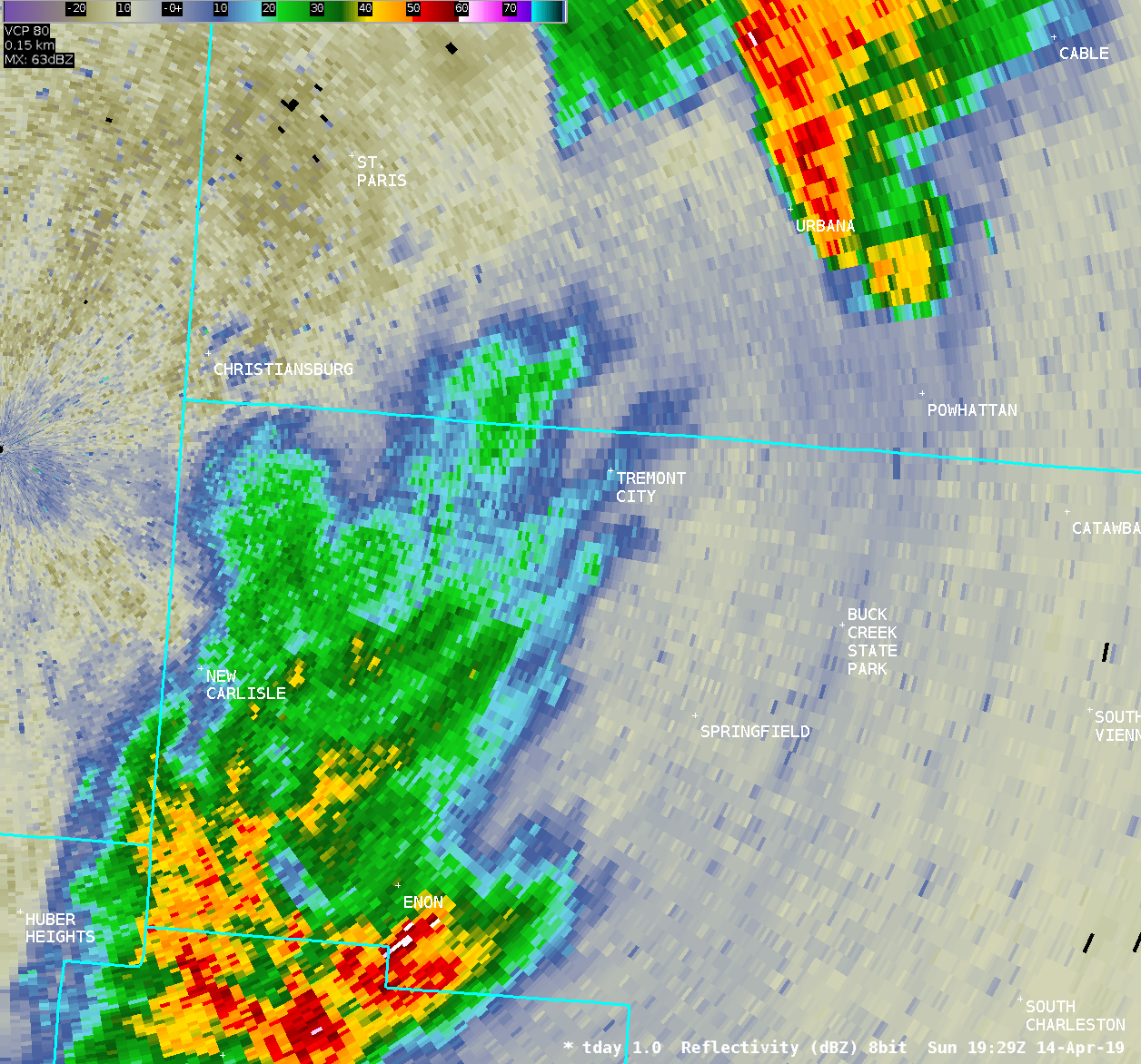
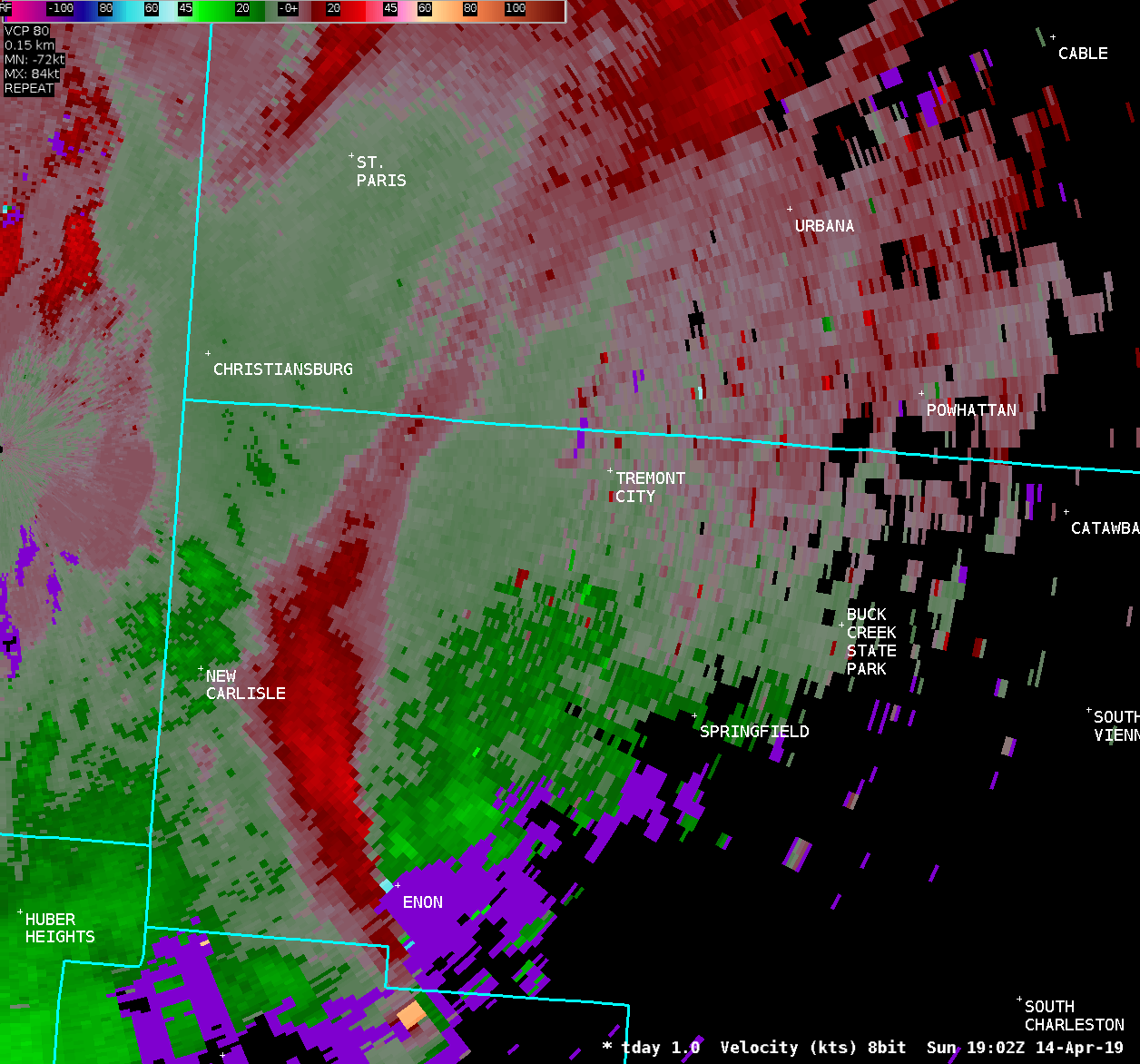
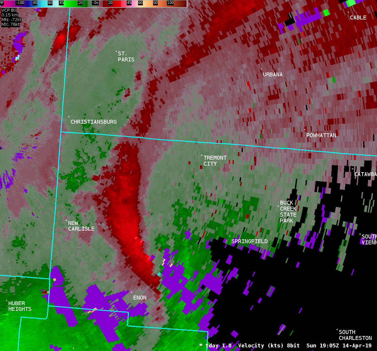
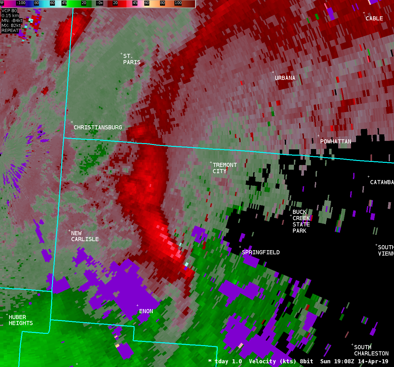
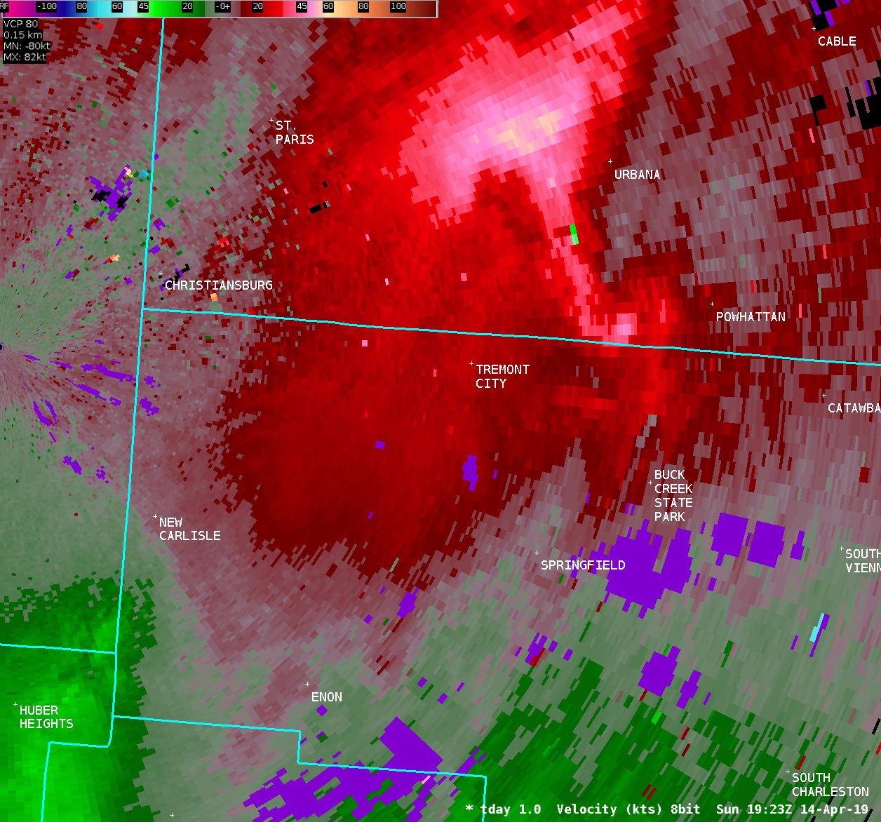
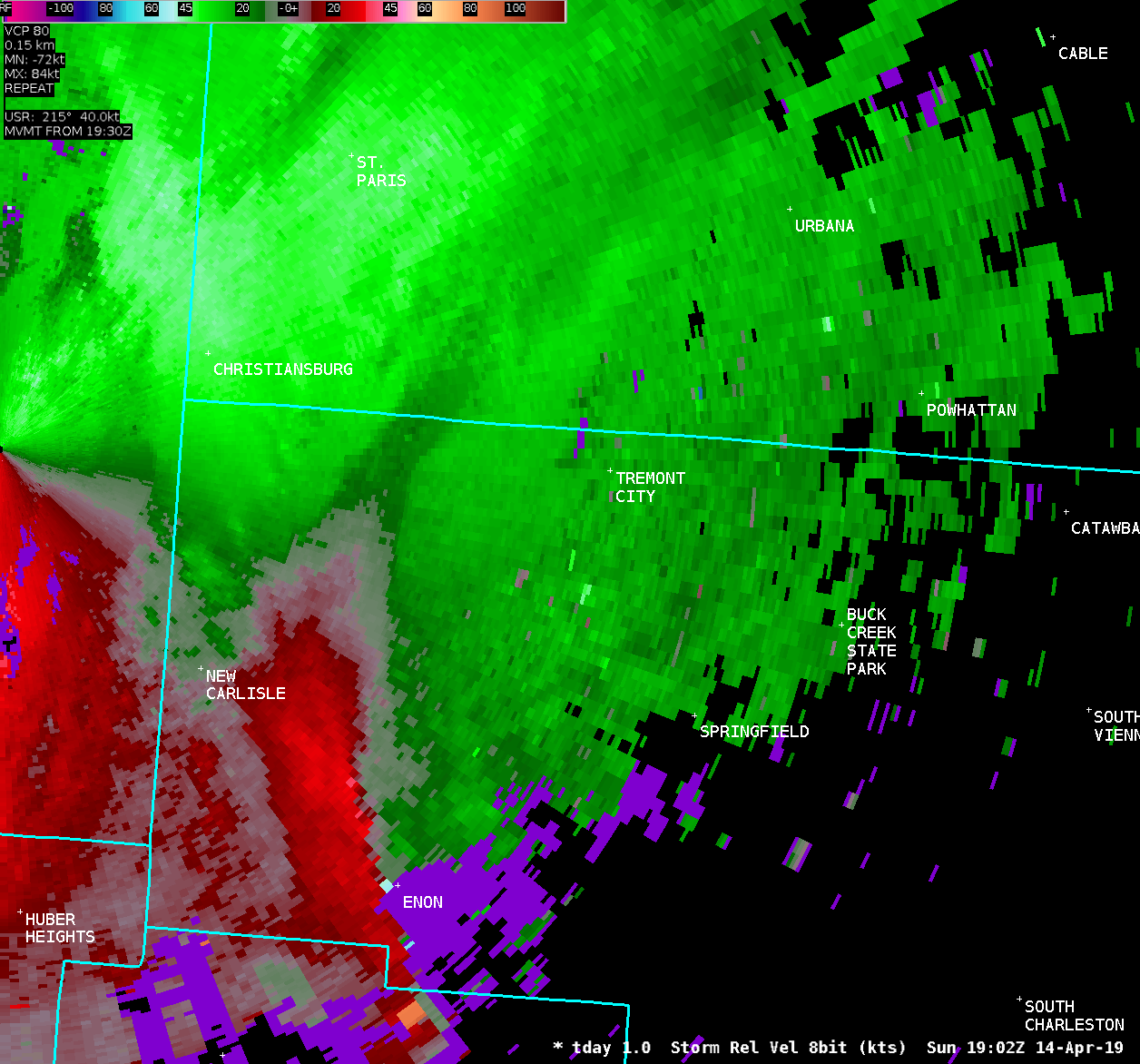
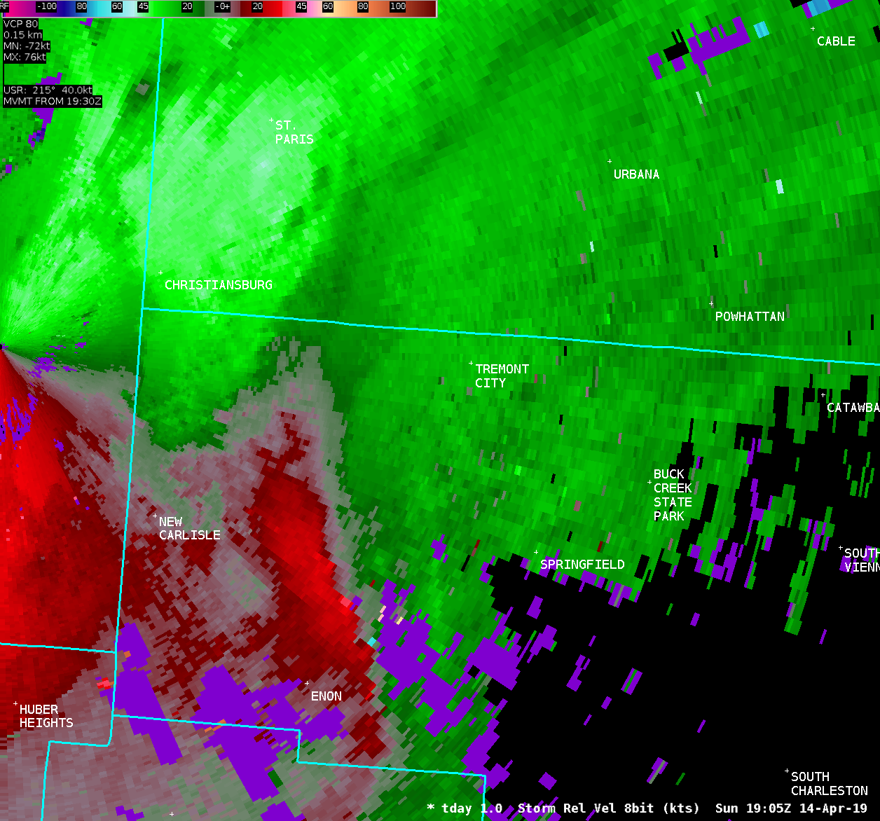
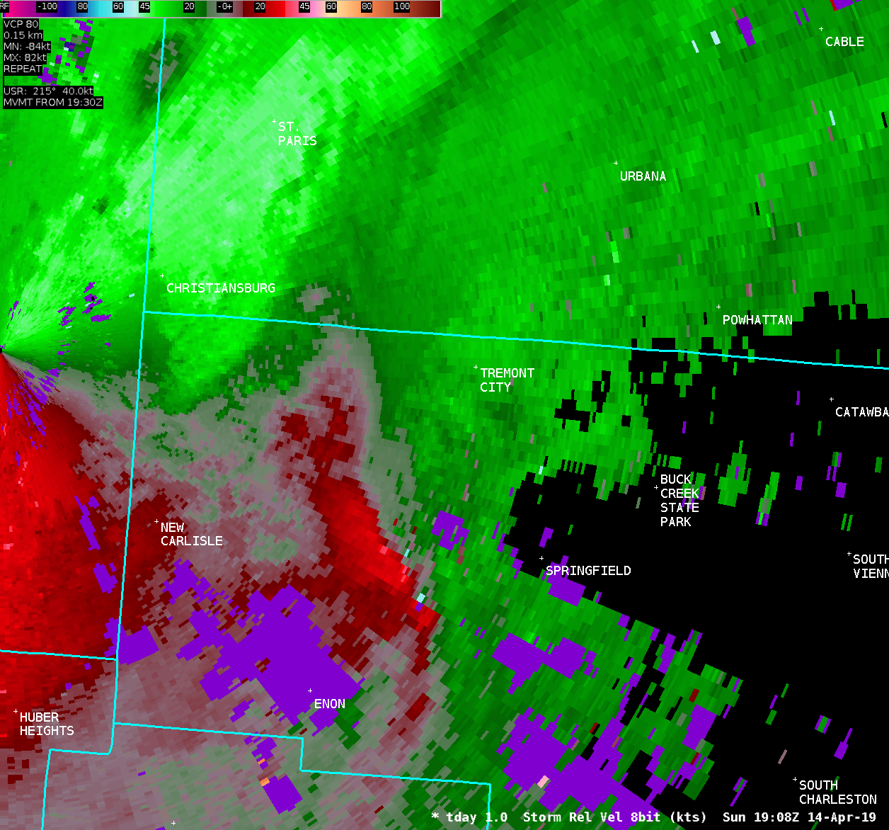
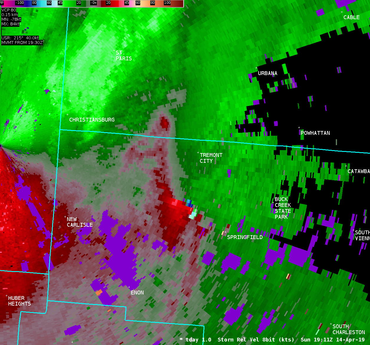
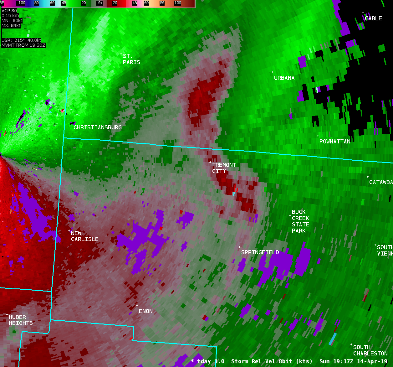
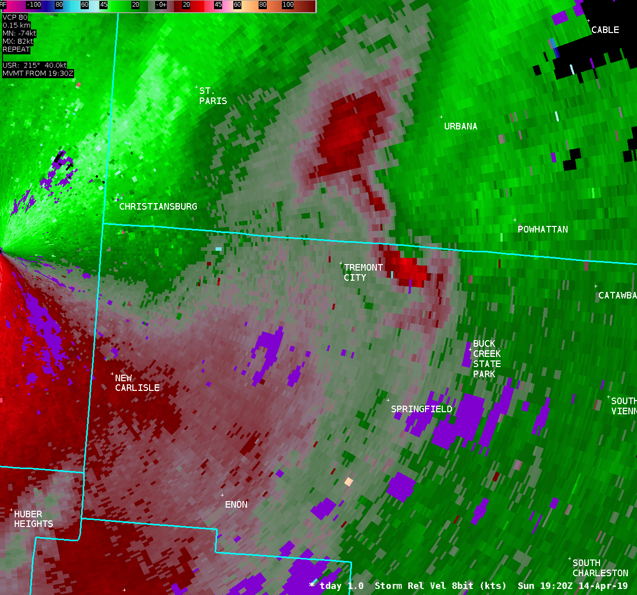
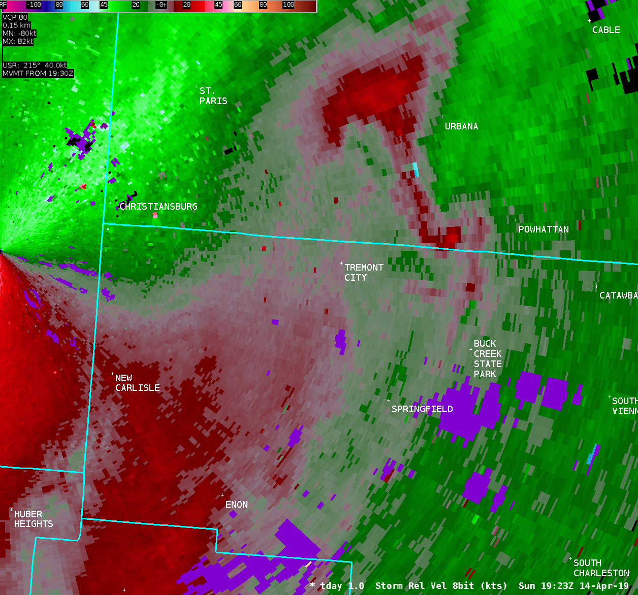
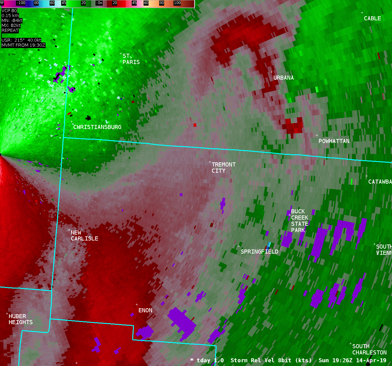
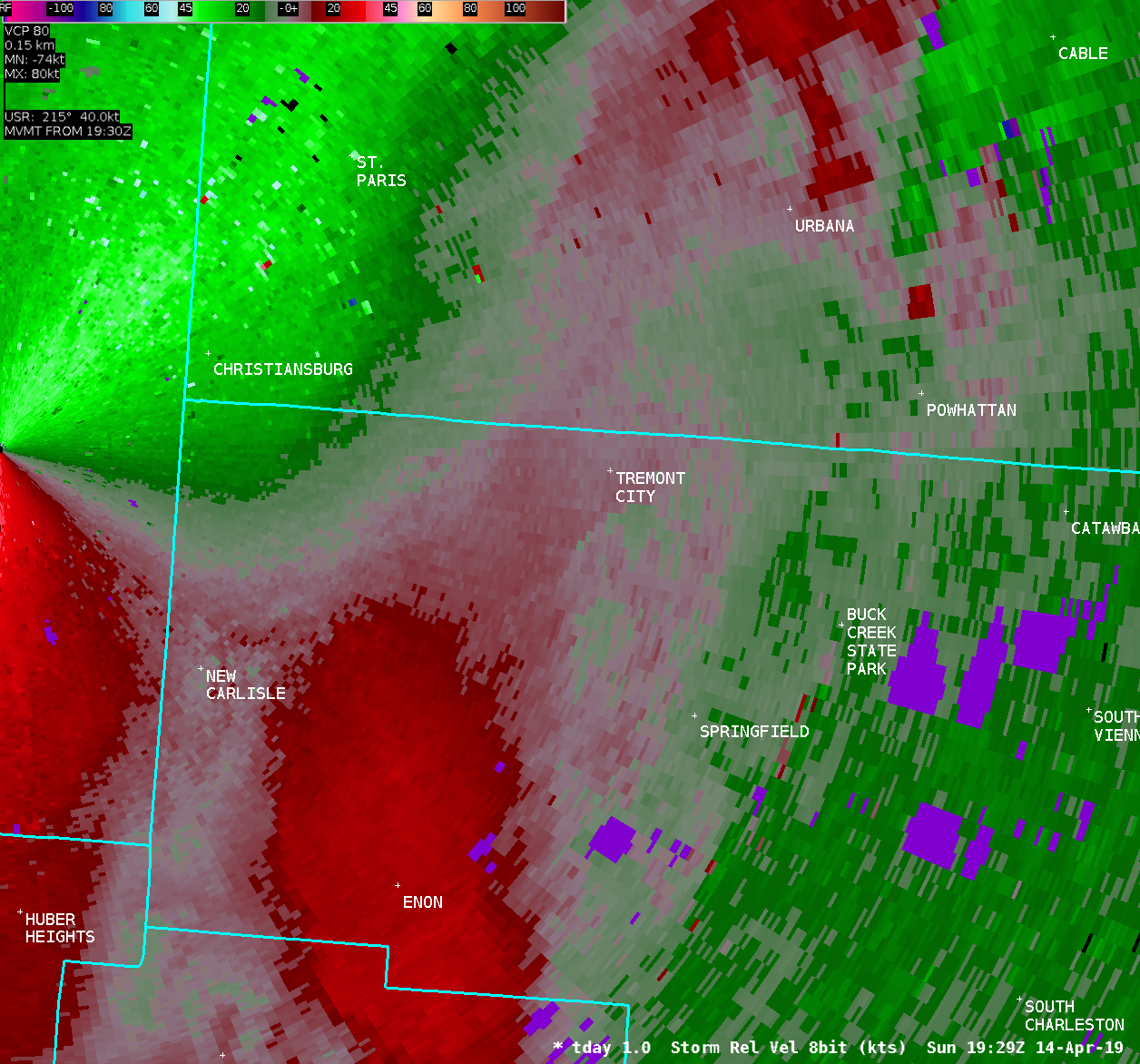
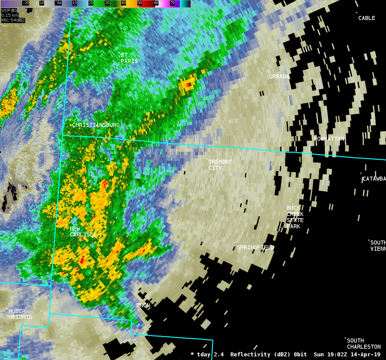
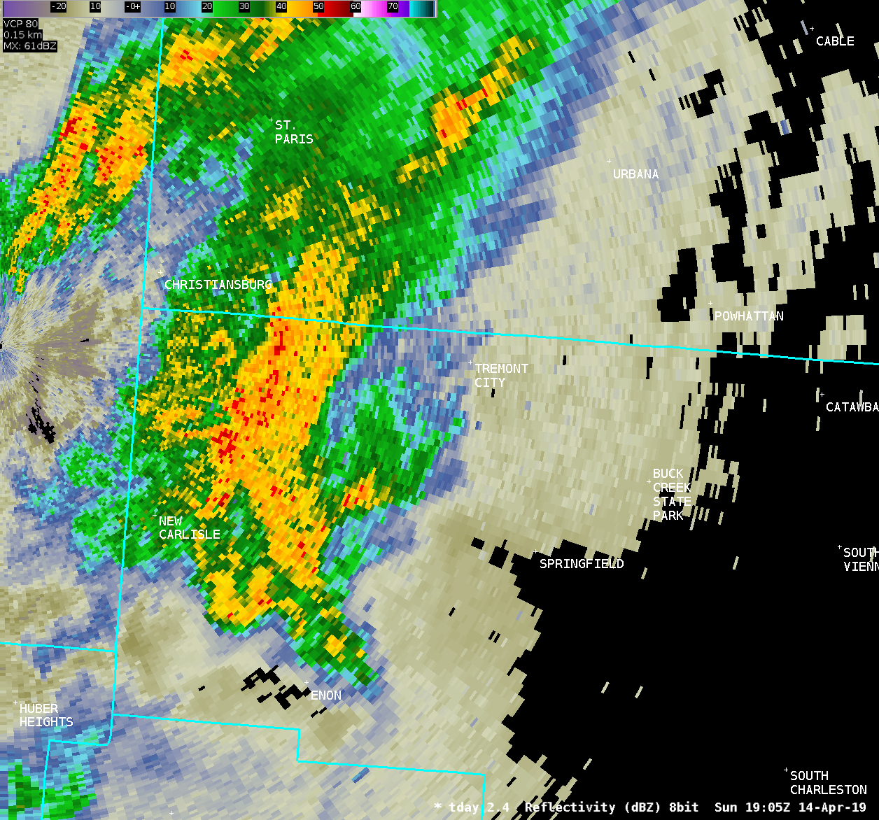
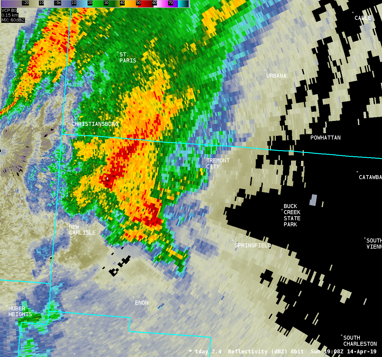
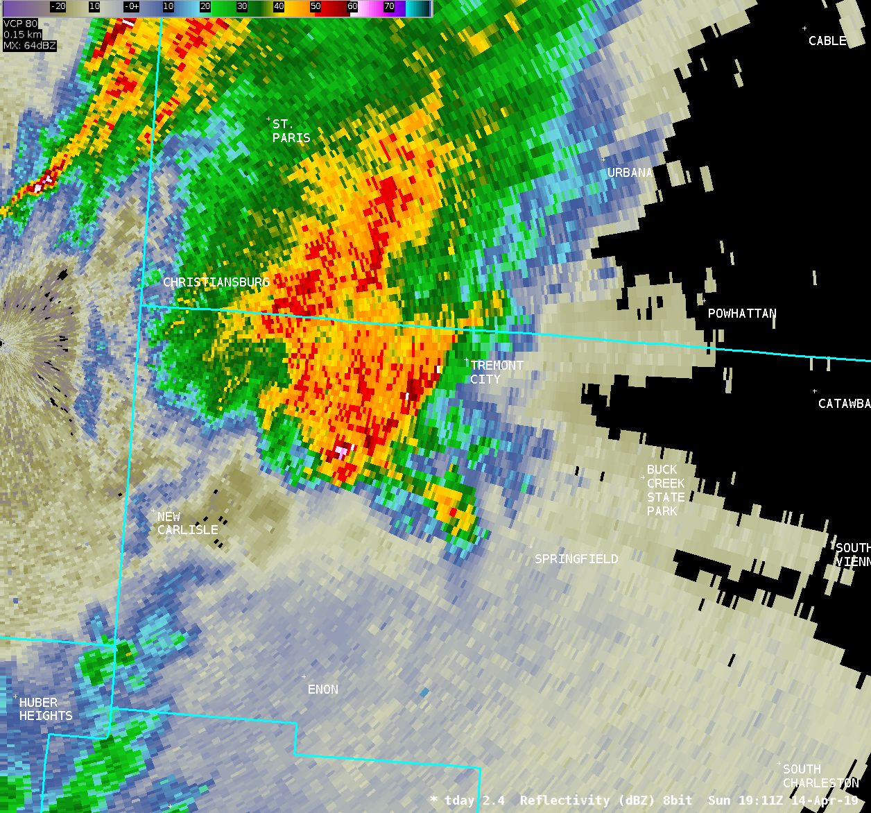
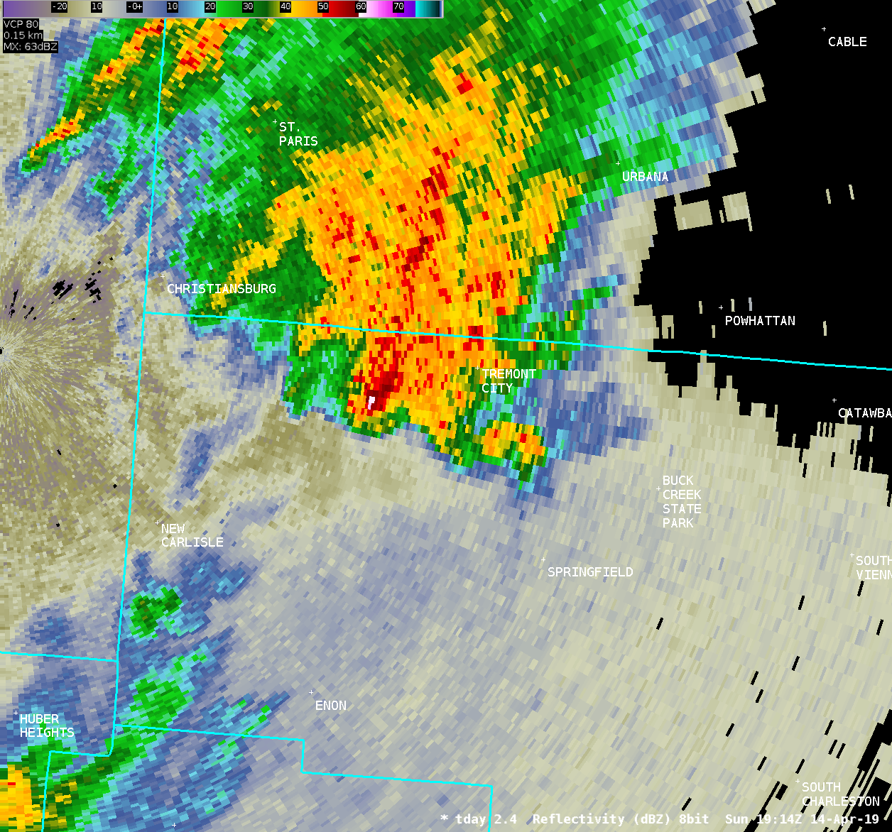
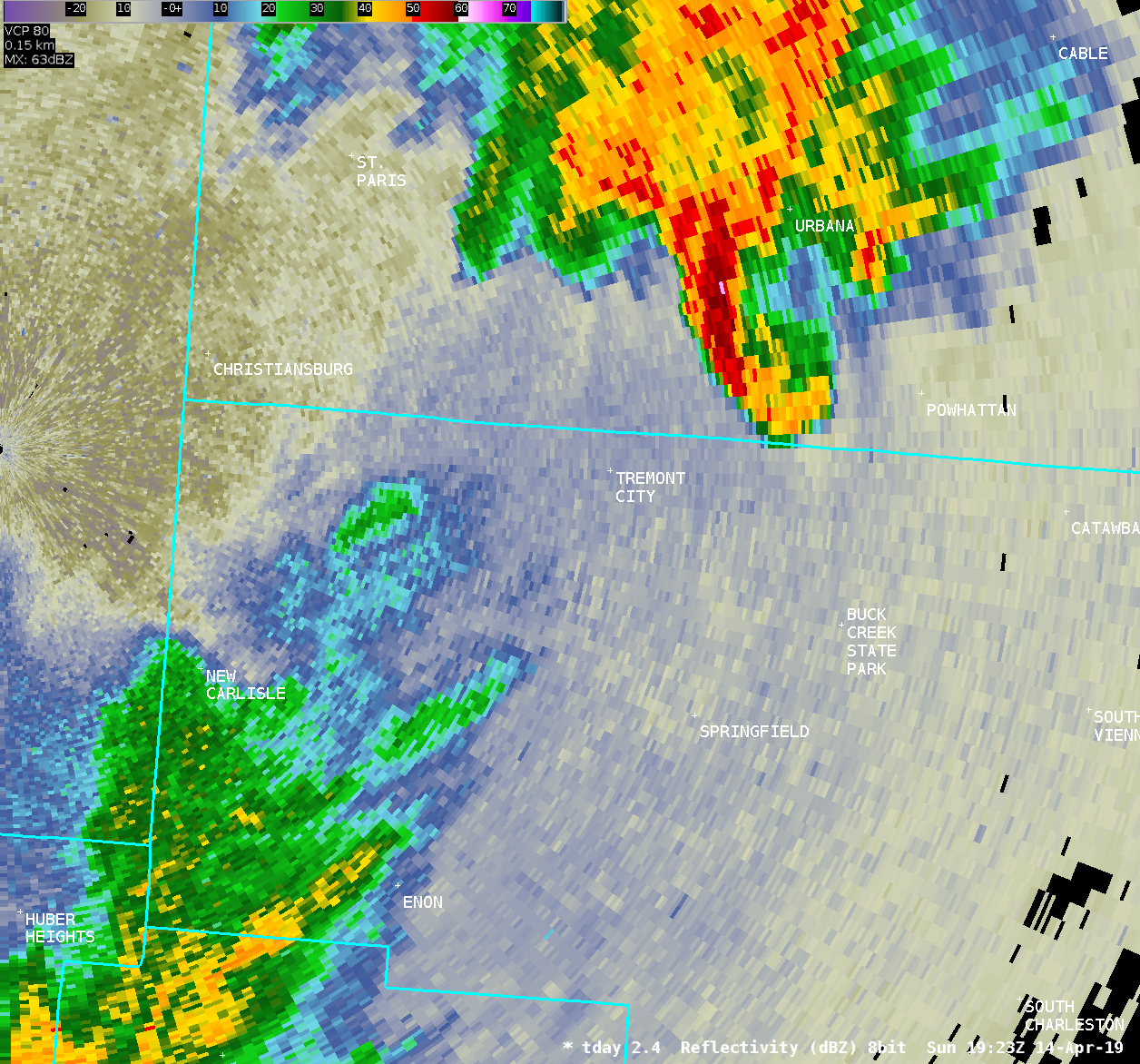
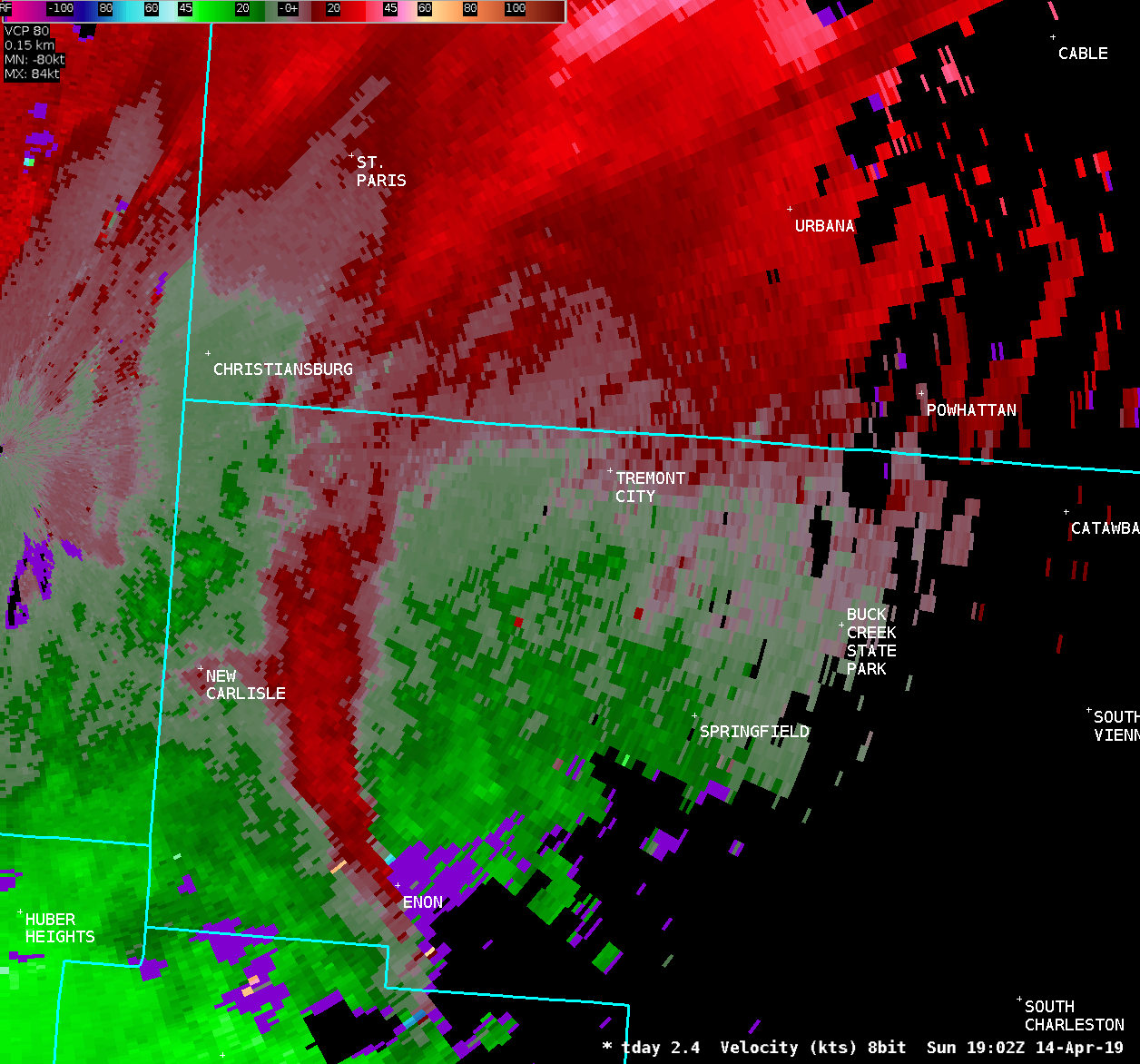
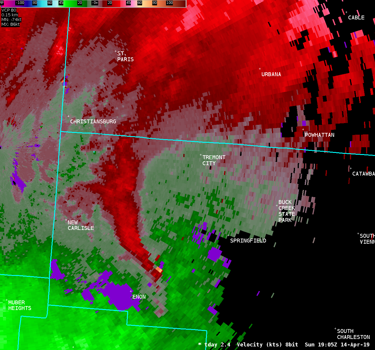
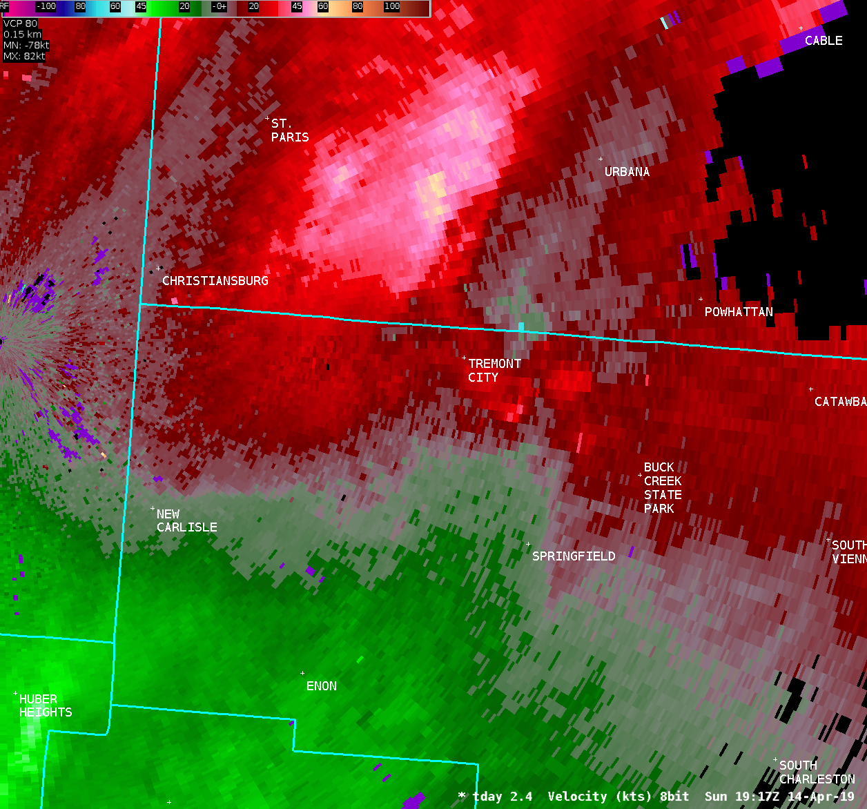
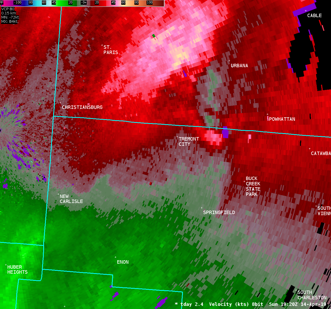
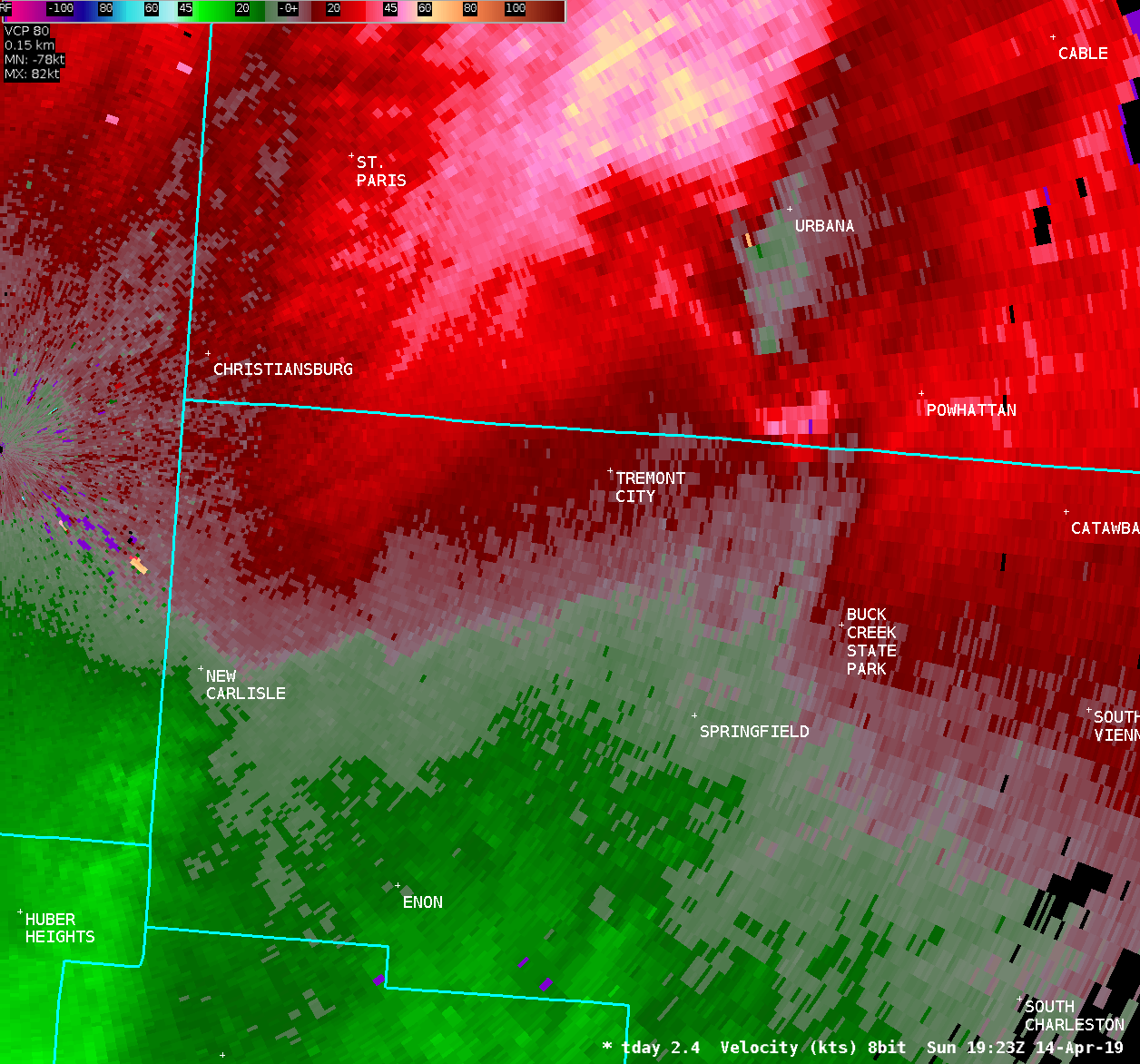
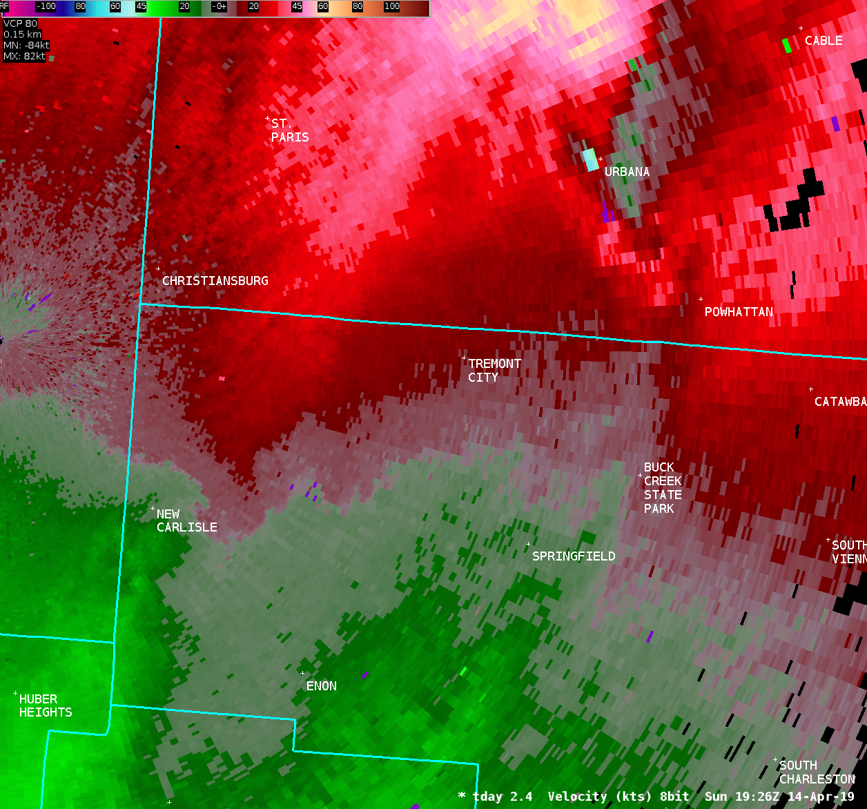
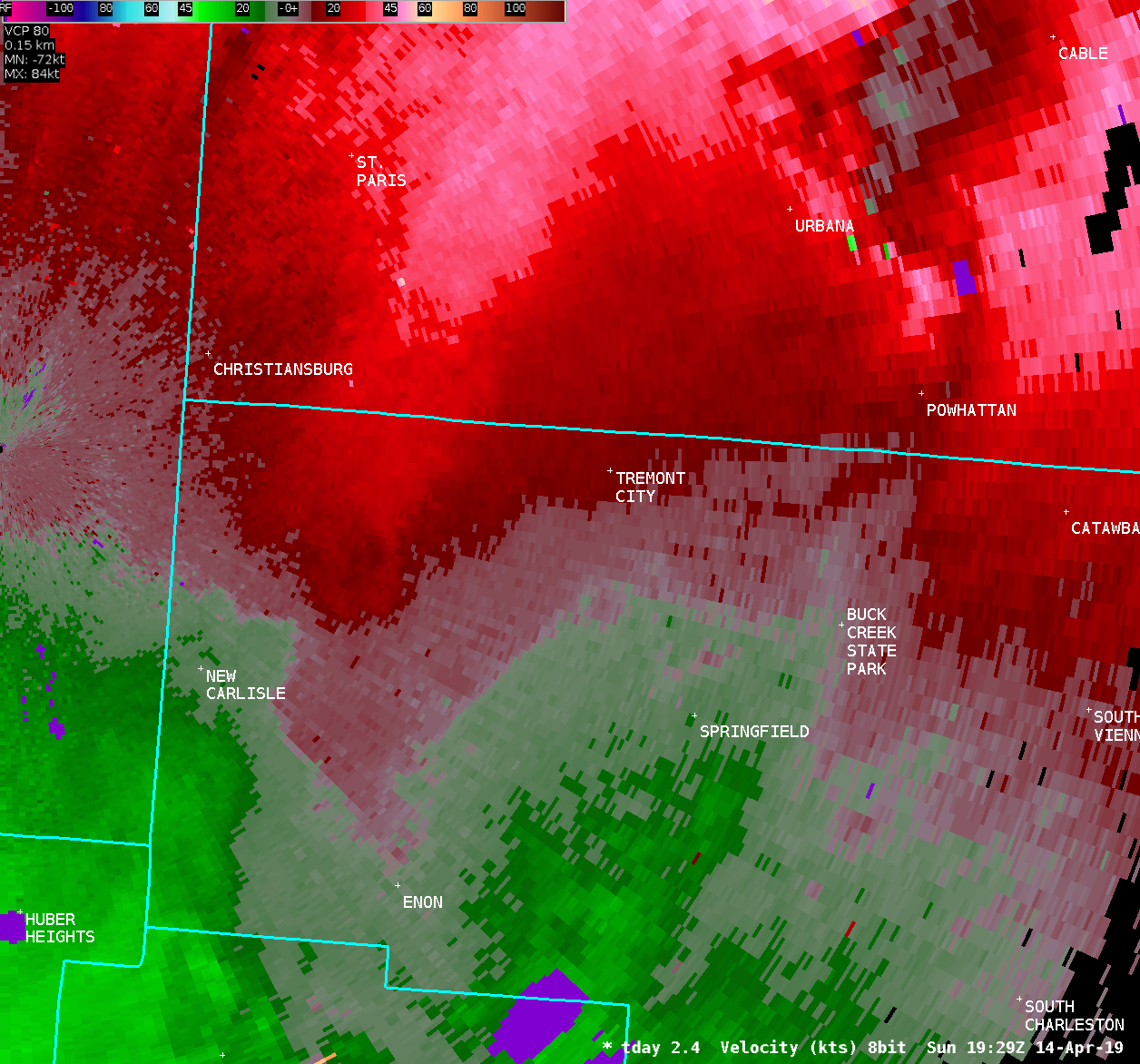
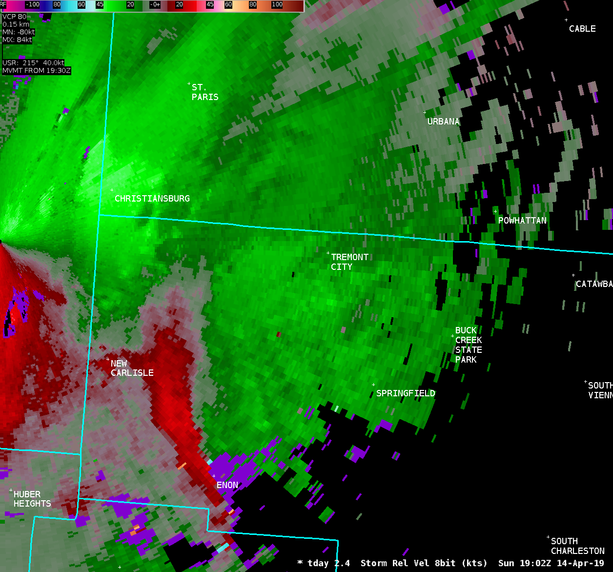
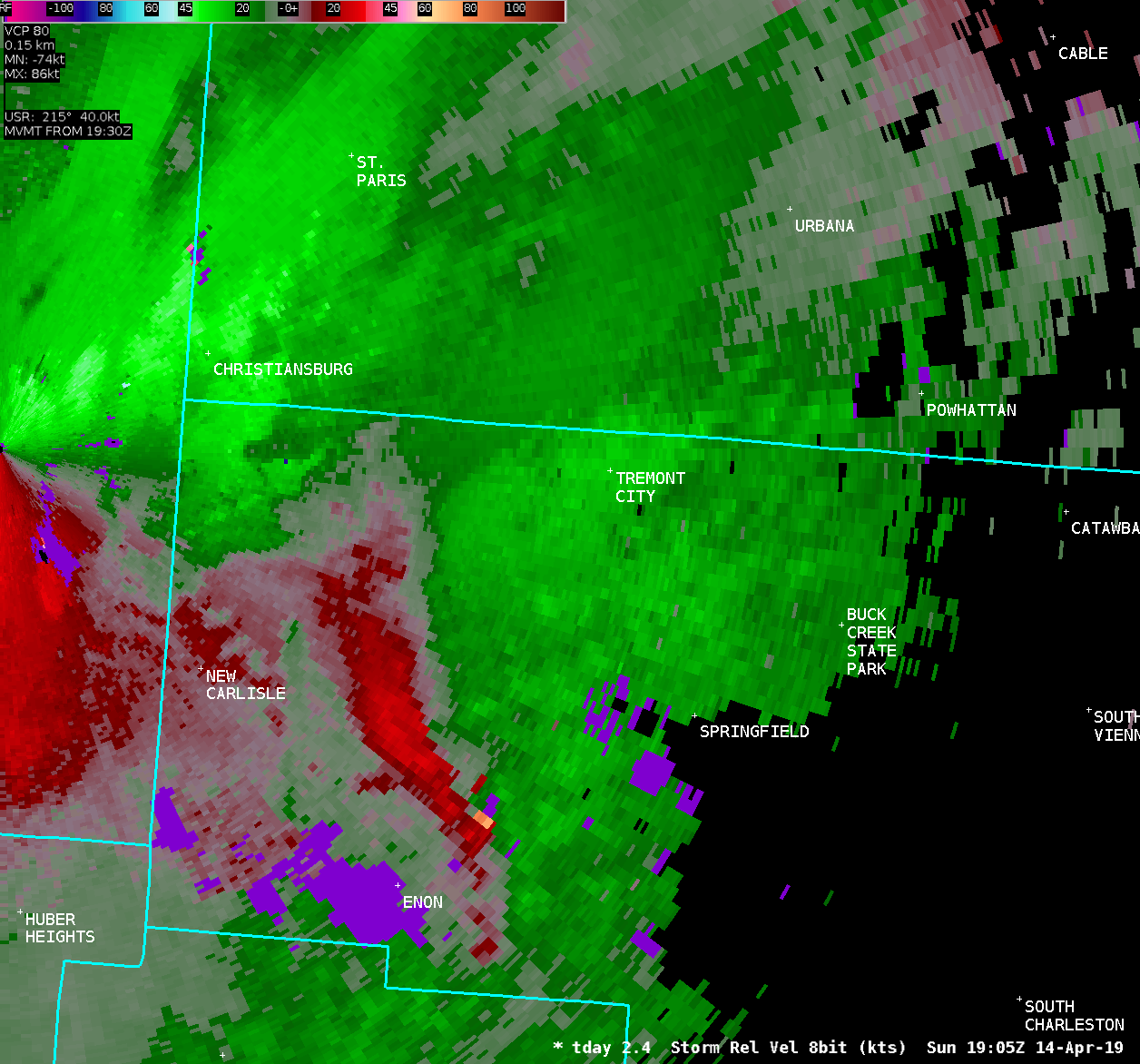
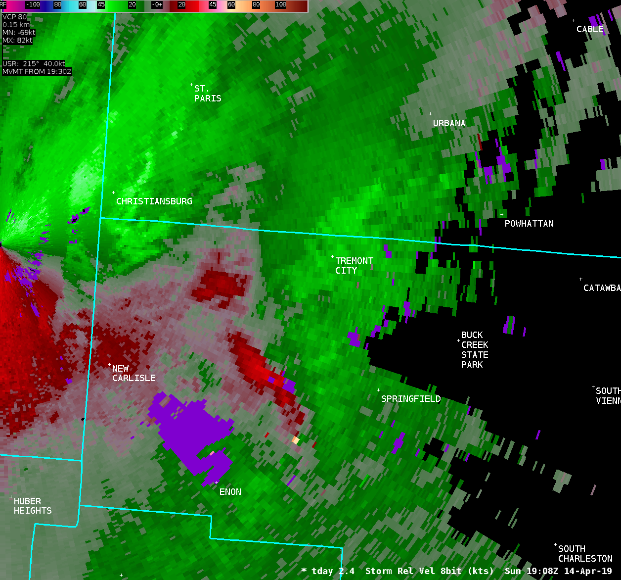
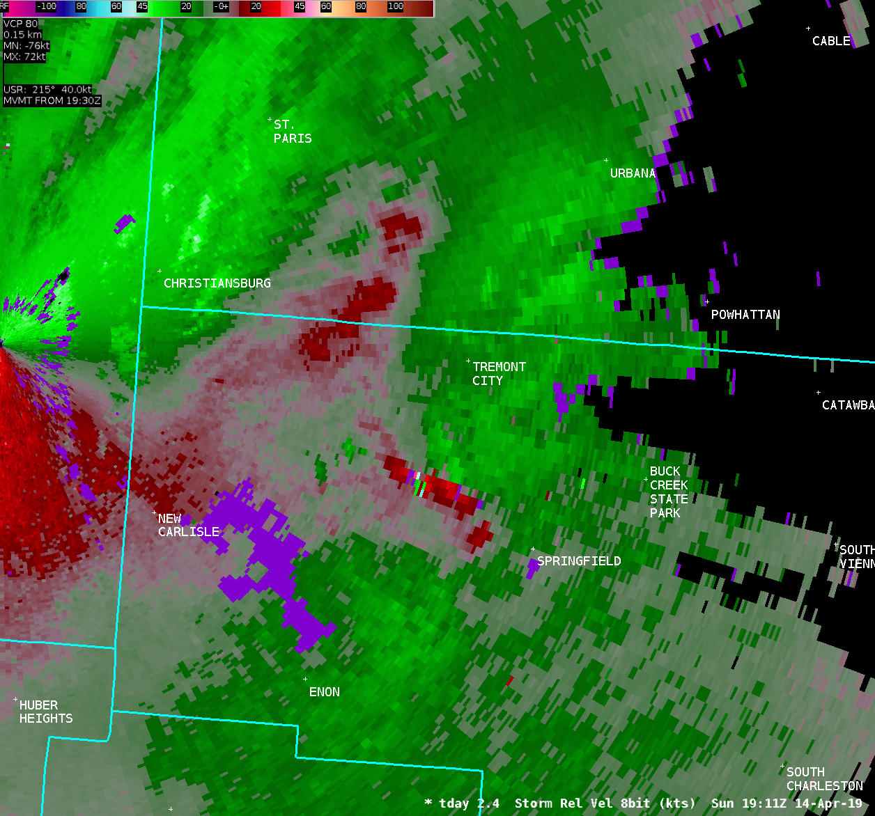
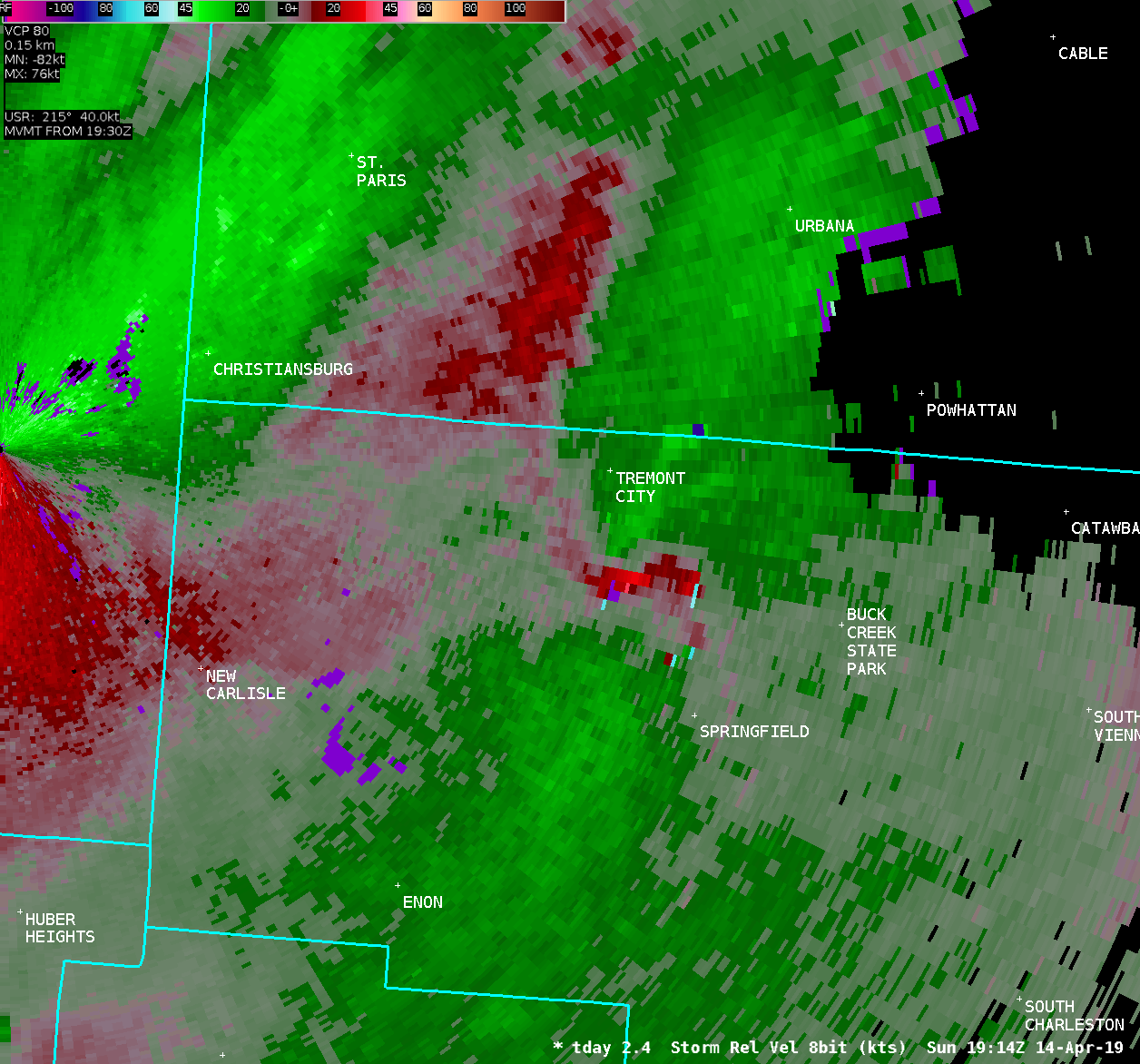
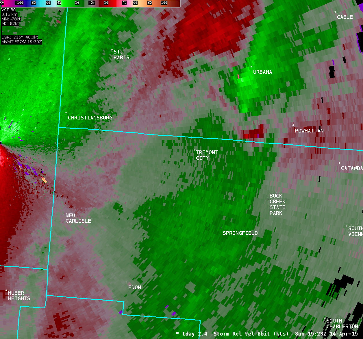
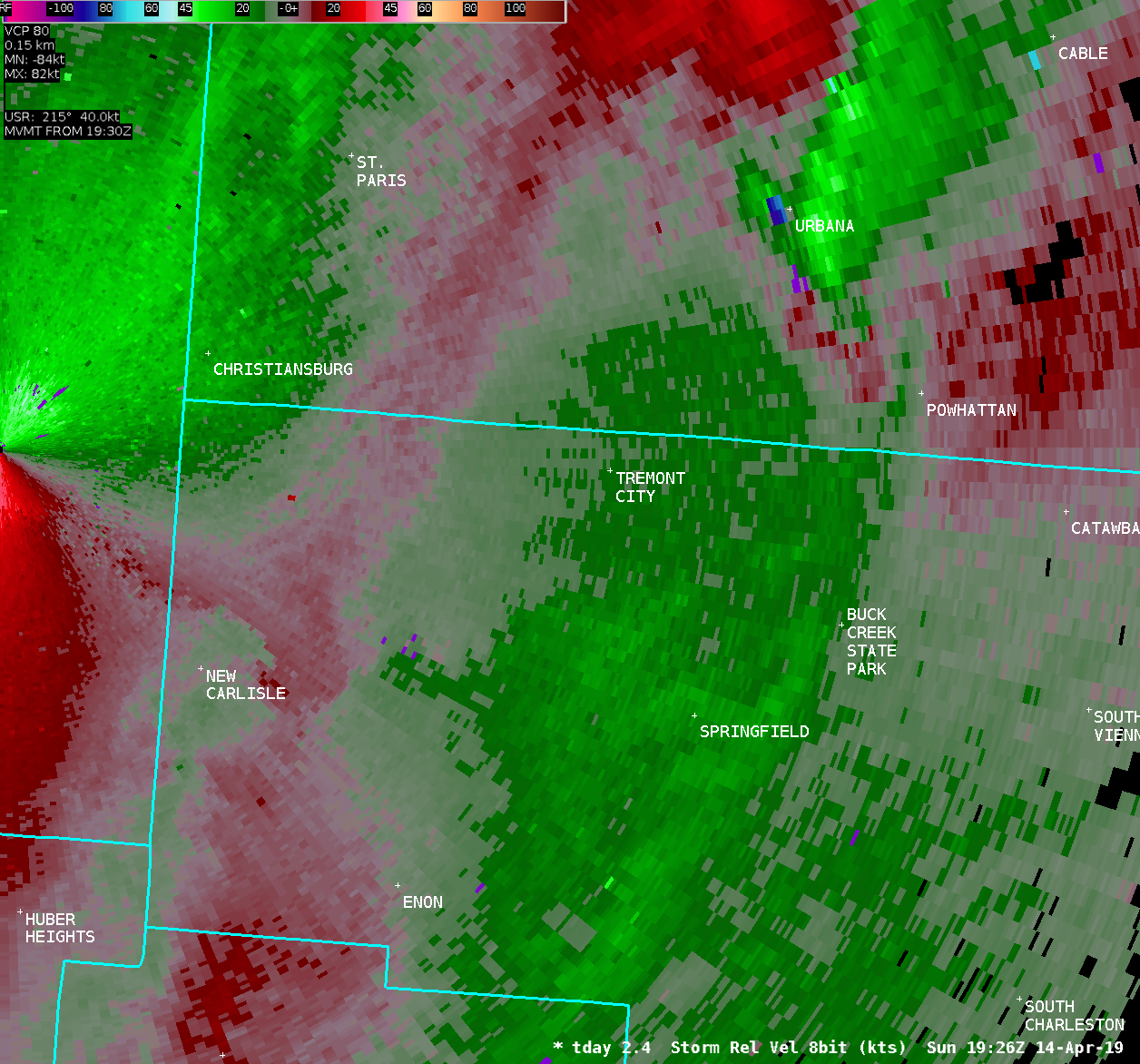
...Summary of the tornado...
The National Weather Service in Wilmington Ohio has confirmed an
EF0 tornado in Clark County Ohio. This tornado occurred between
312 PM and 315 PM on Sunday, April 14, 2019.
The first known damage from the tornado occurred at several
properties on Fox Hollow Road in German Township. A few large
trees were downed or snapped, and several sections of fencing were
blown down.
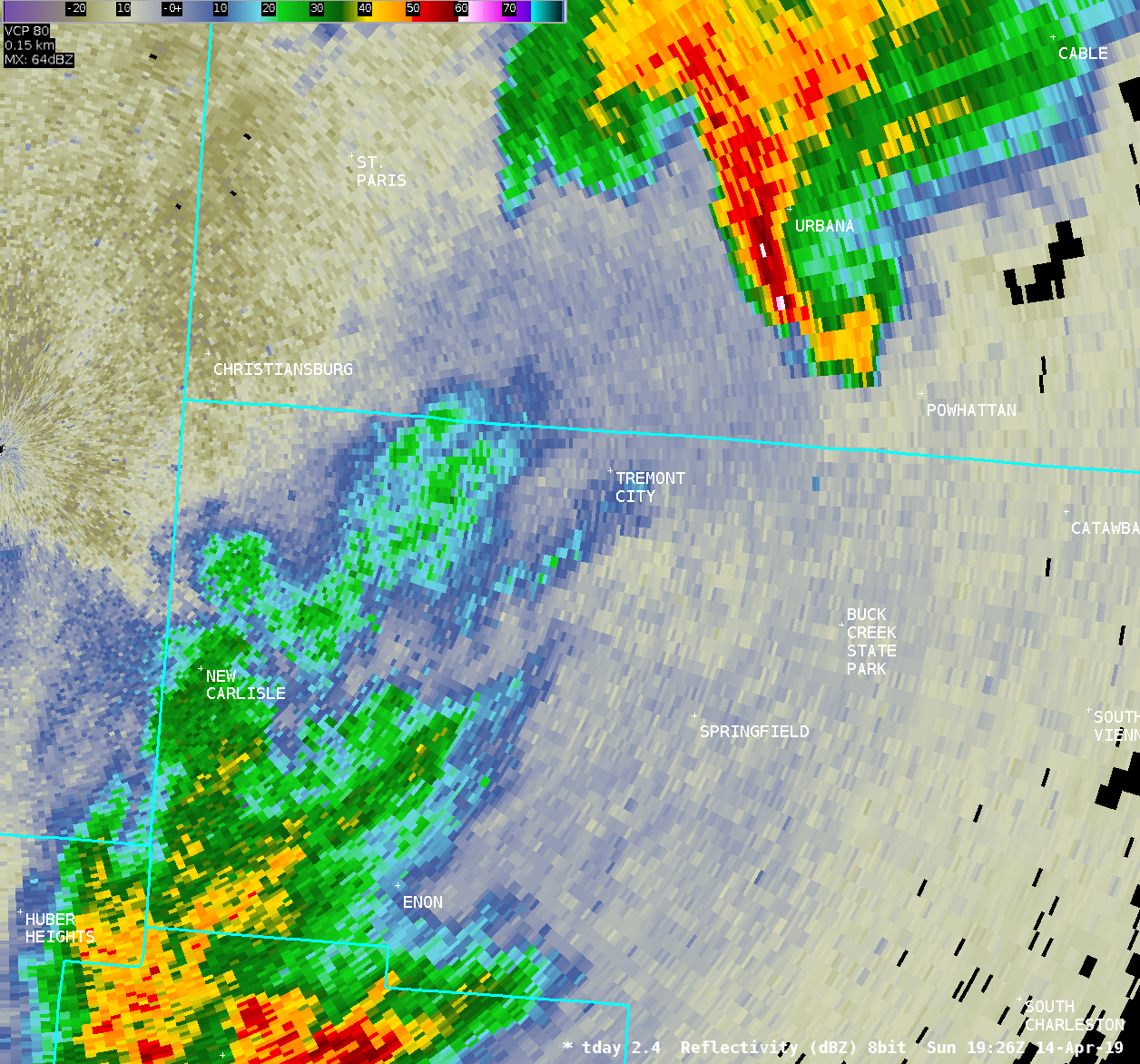
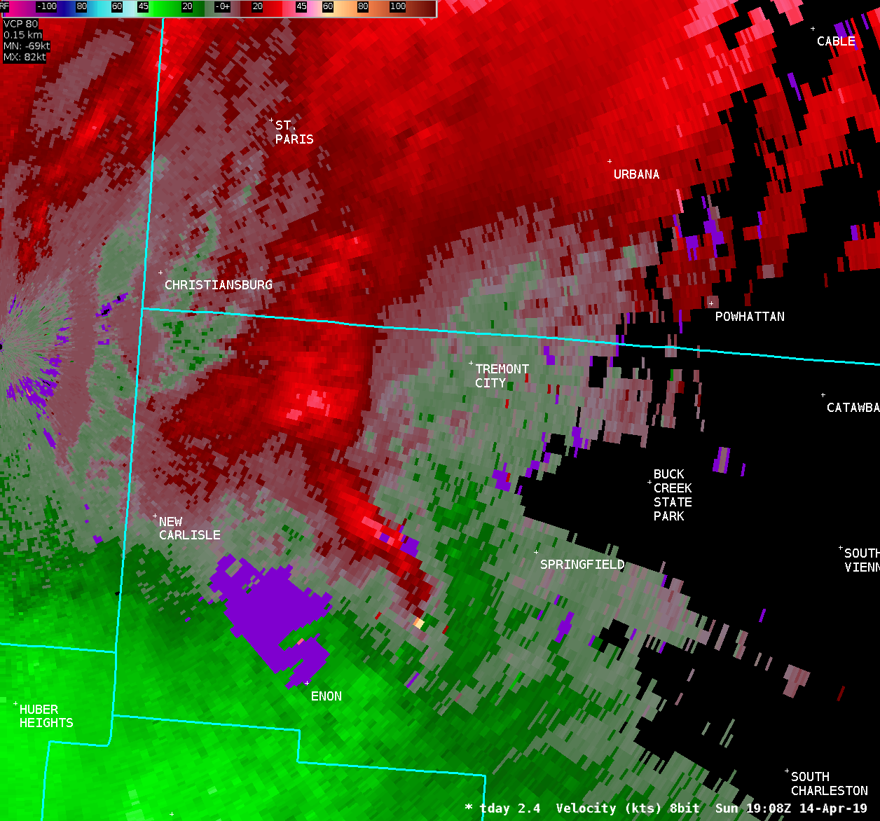
Damage was then observed at a mobile home park on Upper Valley
Pike. Roof and awning damage was noted at several homes. One
unoccupied home had its roof removed entirely, and the roof was
found lofted over a stand of trees into a field about 150 feet to
the north. Insulation from the home was also noted to be scattered
in the trees high off the ground. Winds at this location were
estimated to be as high as 70 MPH.
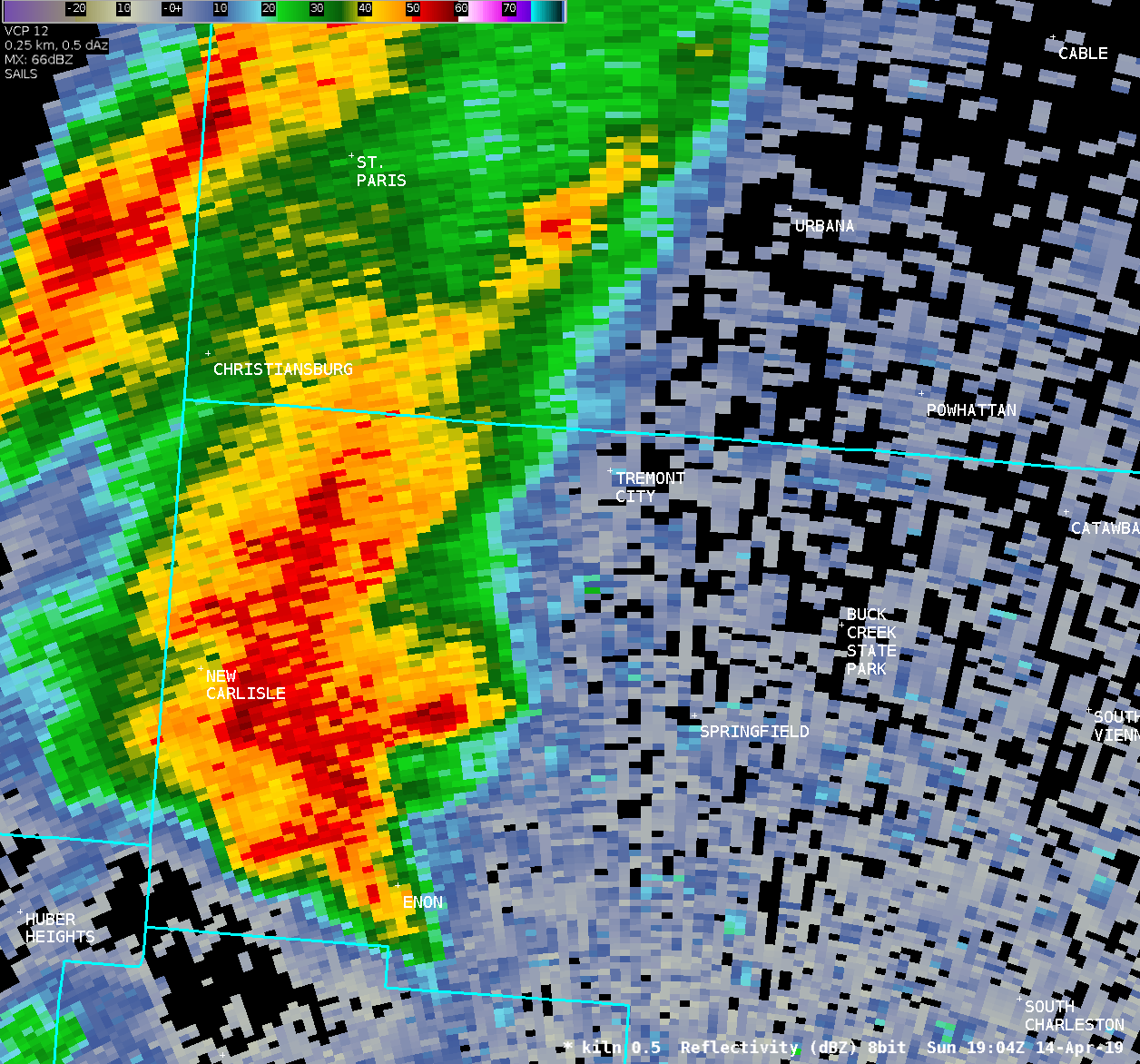
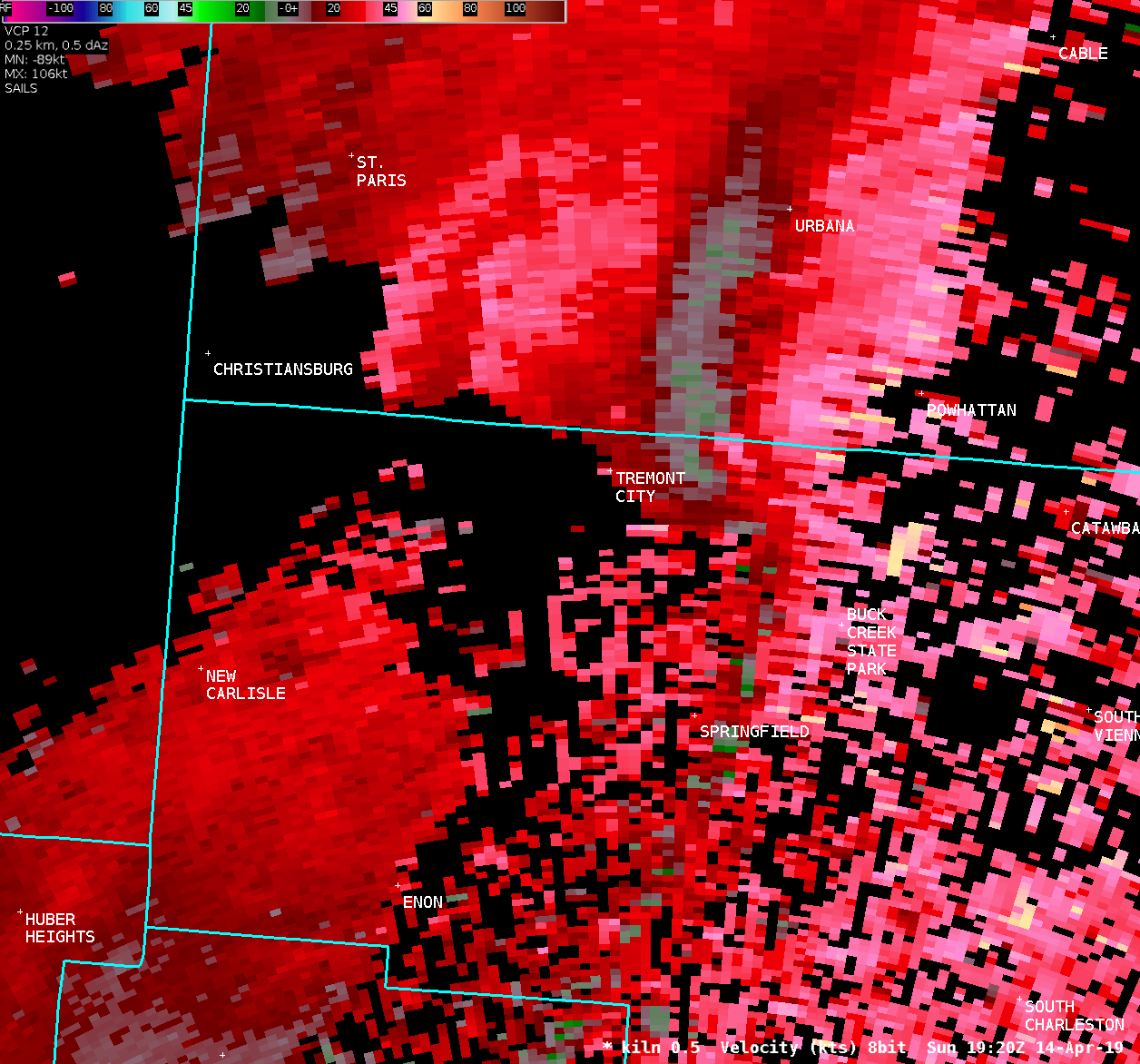
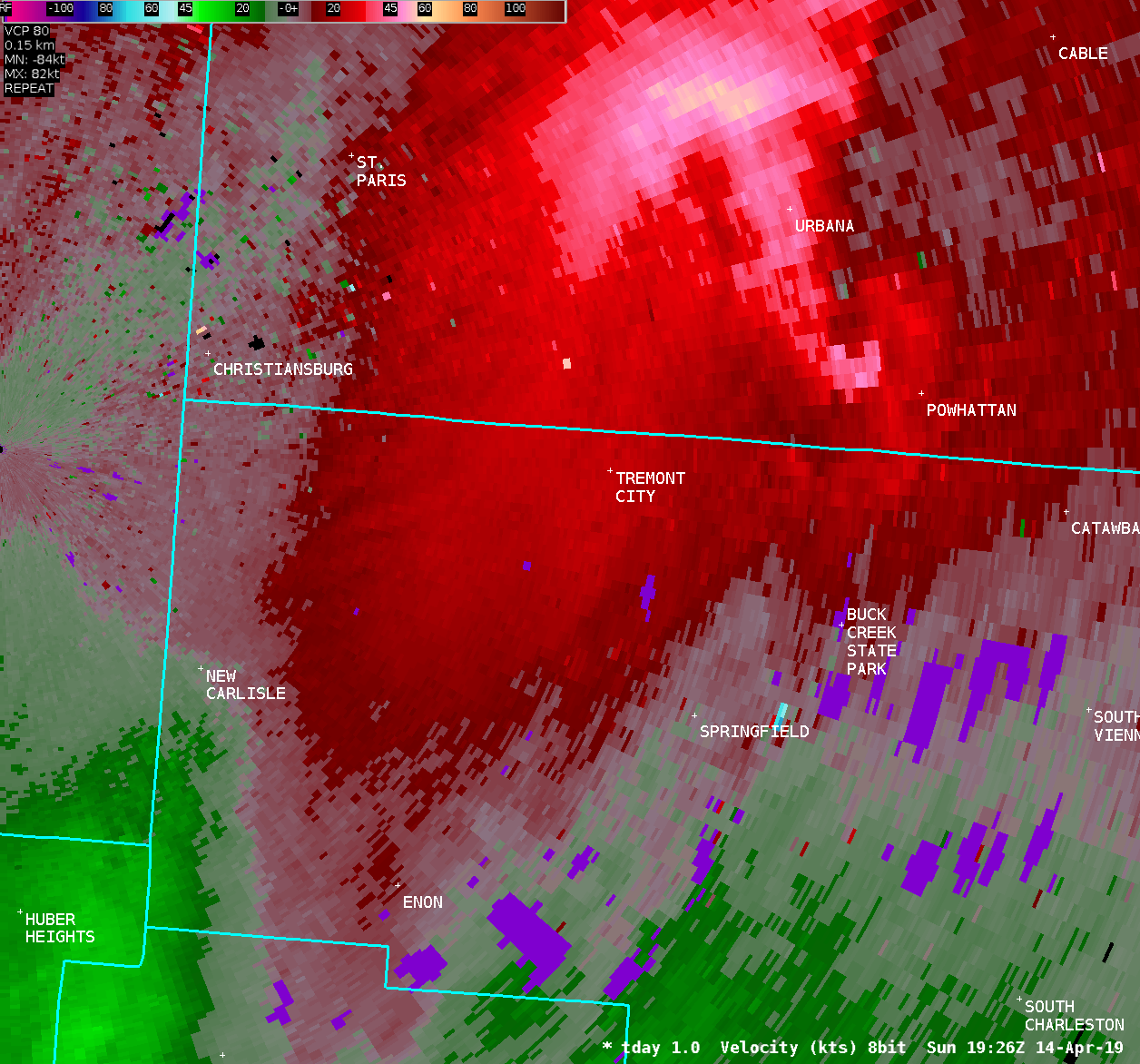
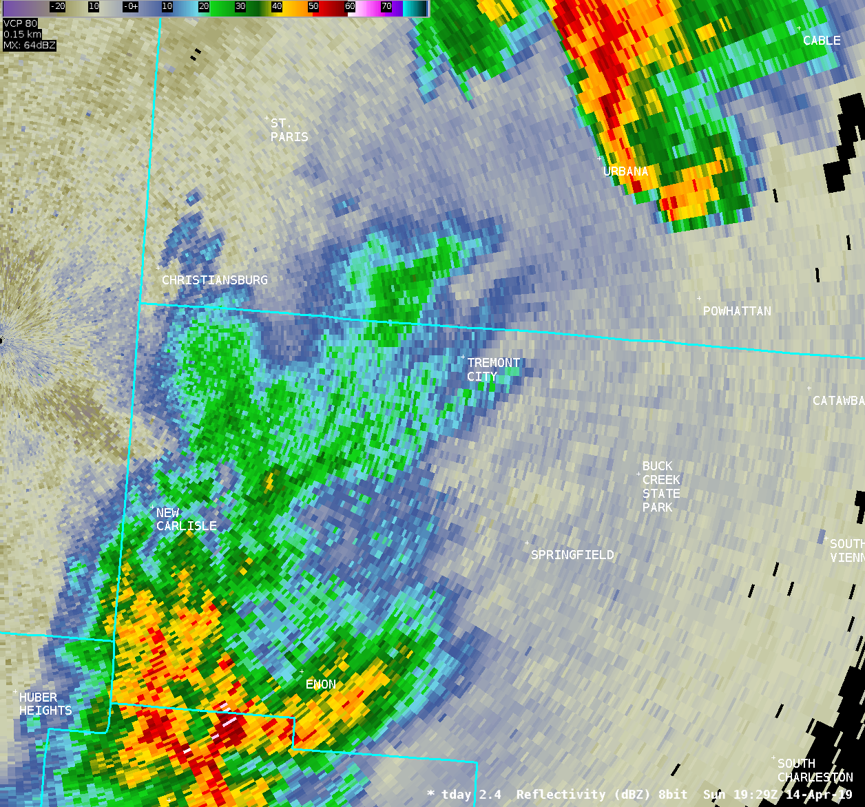
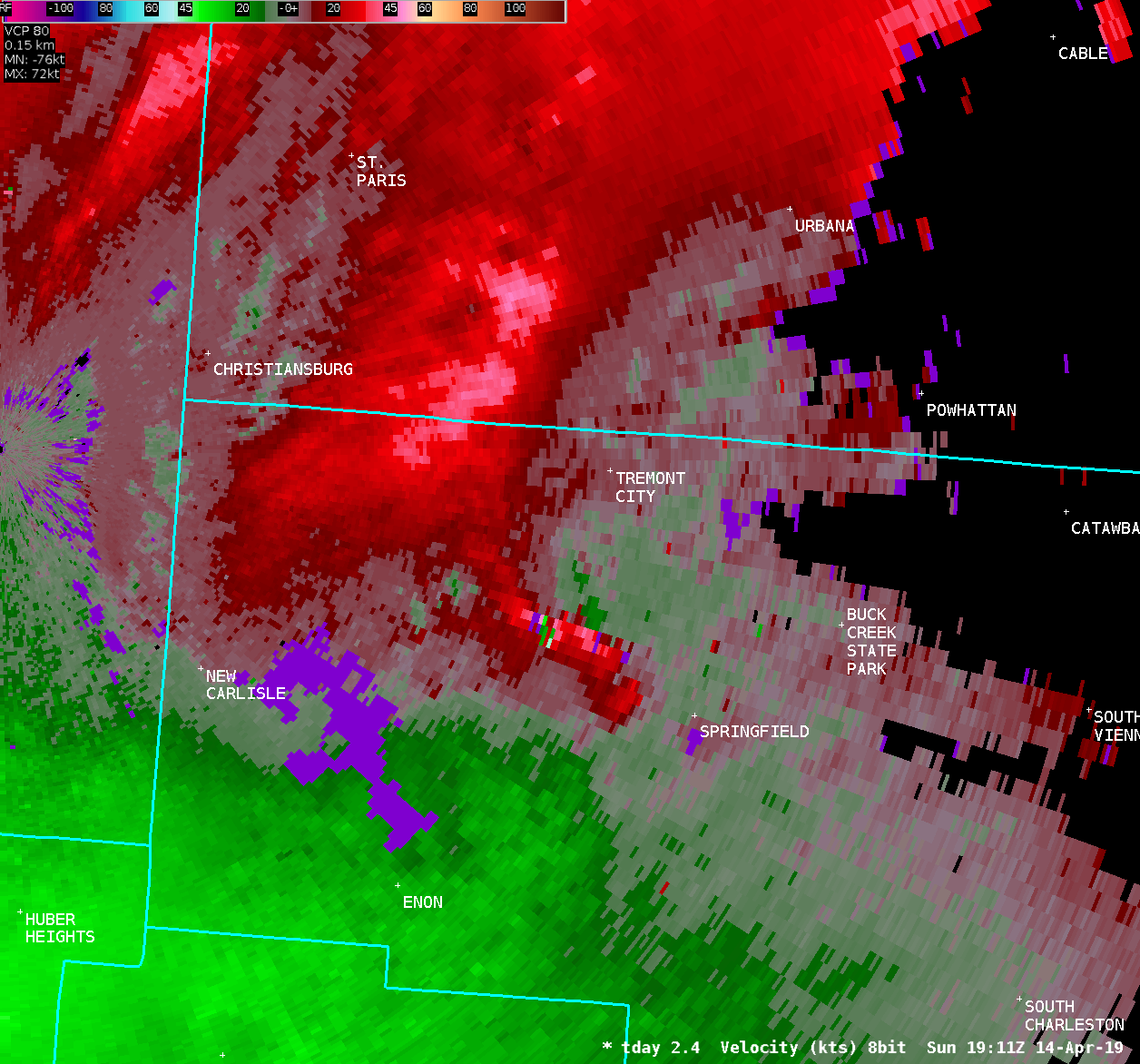
Further to the east, two semi trailers were blown over near an
industrial facility on Baker Road. Just north of this facility, a
large tree was uprooted.
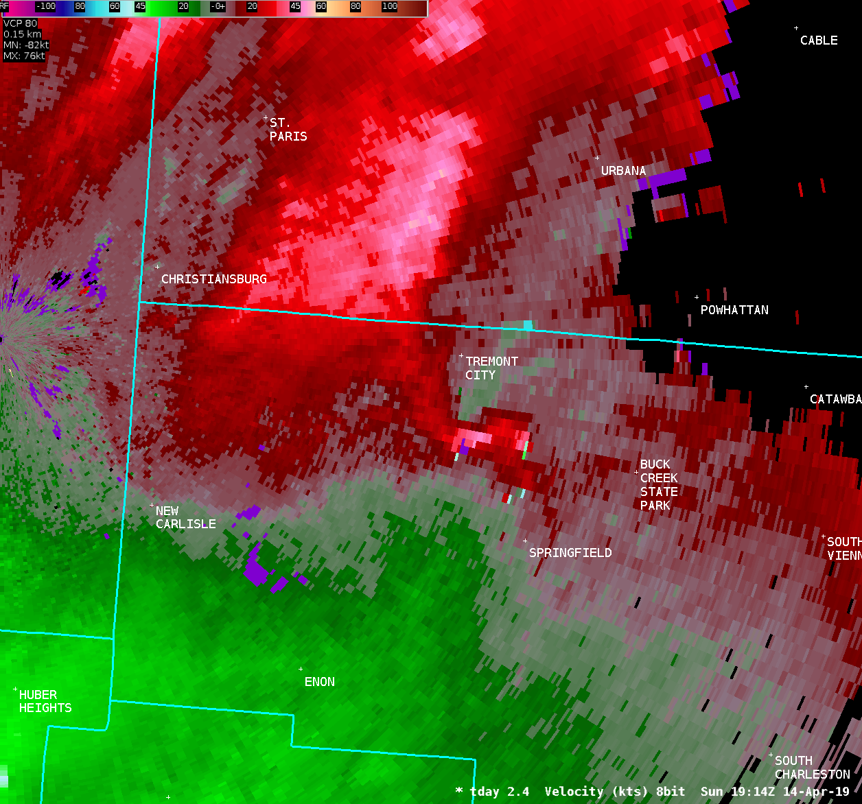
Within the city limits of Springfield, one tree was snapped along
US Route 68. A few soccer nets were blown over at the Eagle City
Soccer Complex, and an outbuilding at the complex sustained minor
damage. This was the last known location in which damage could be
determined to be caused by the tornado.
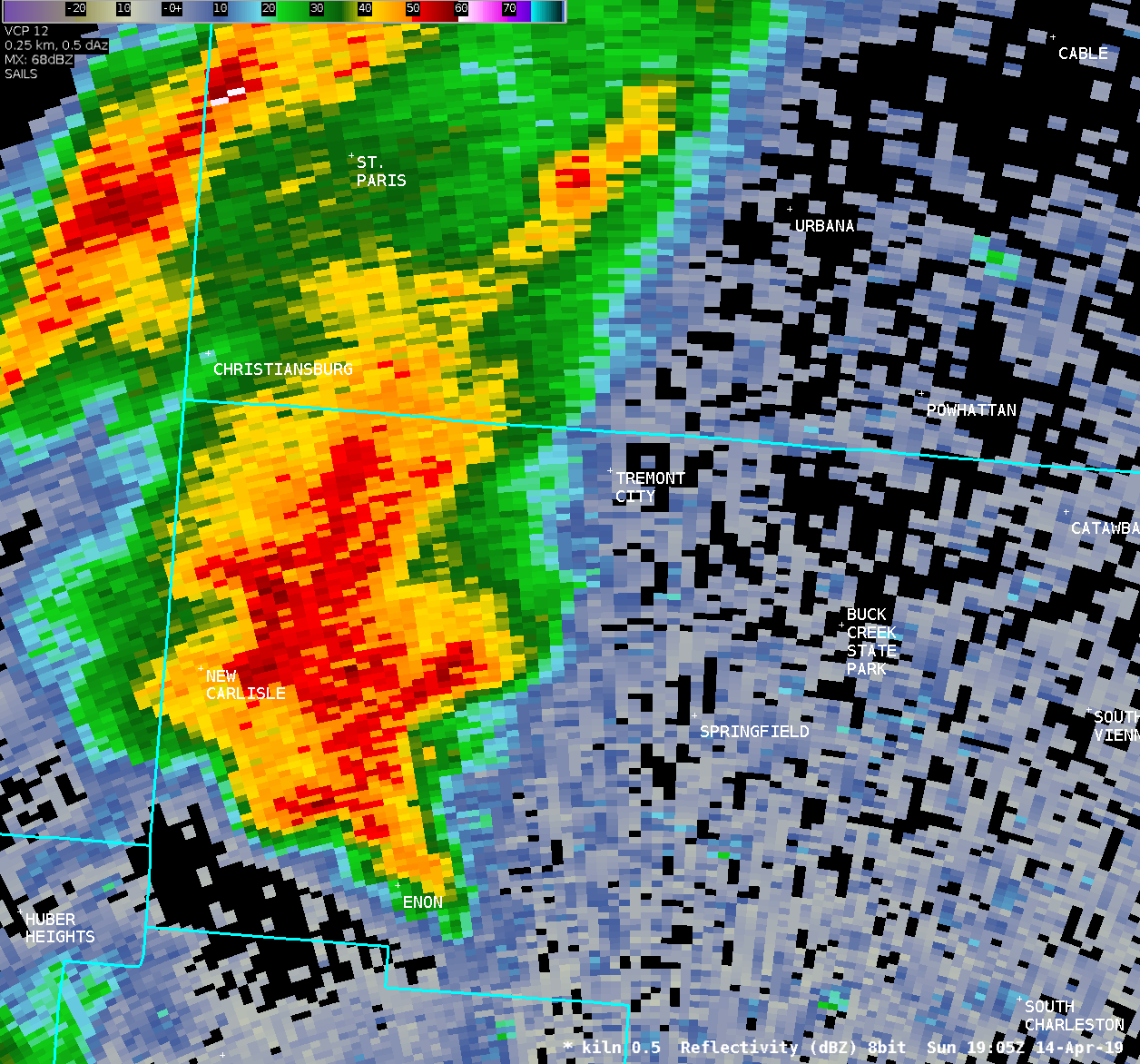
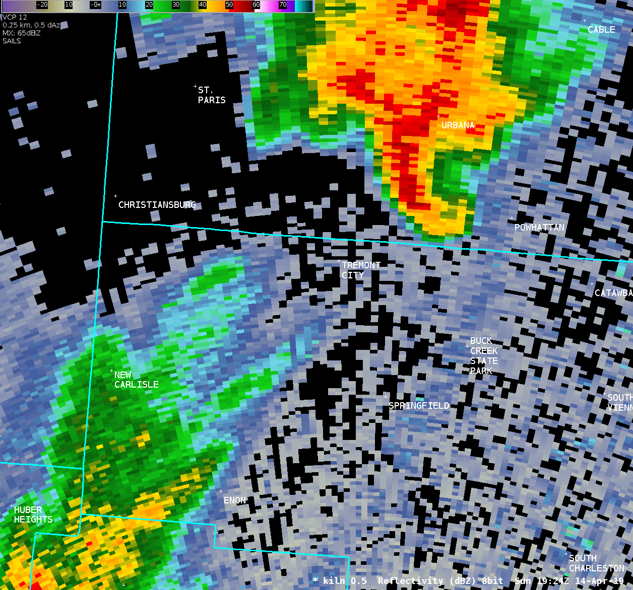
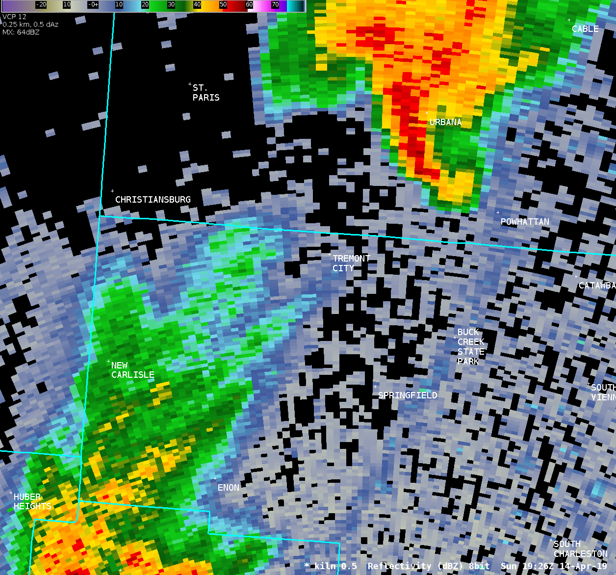
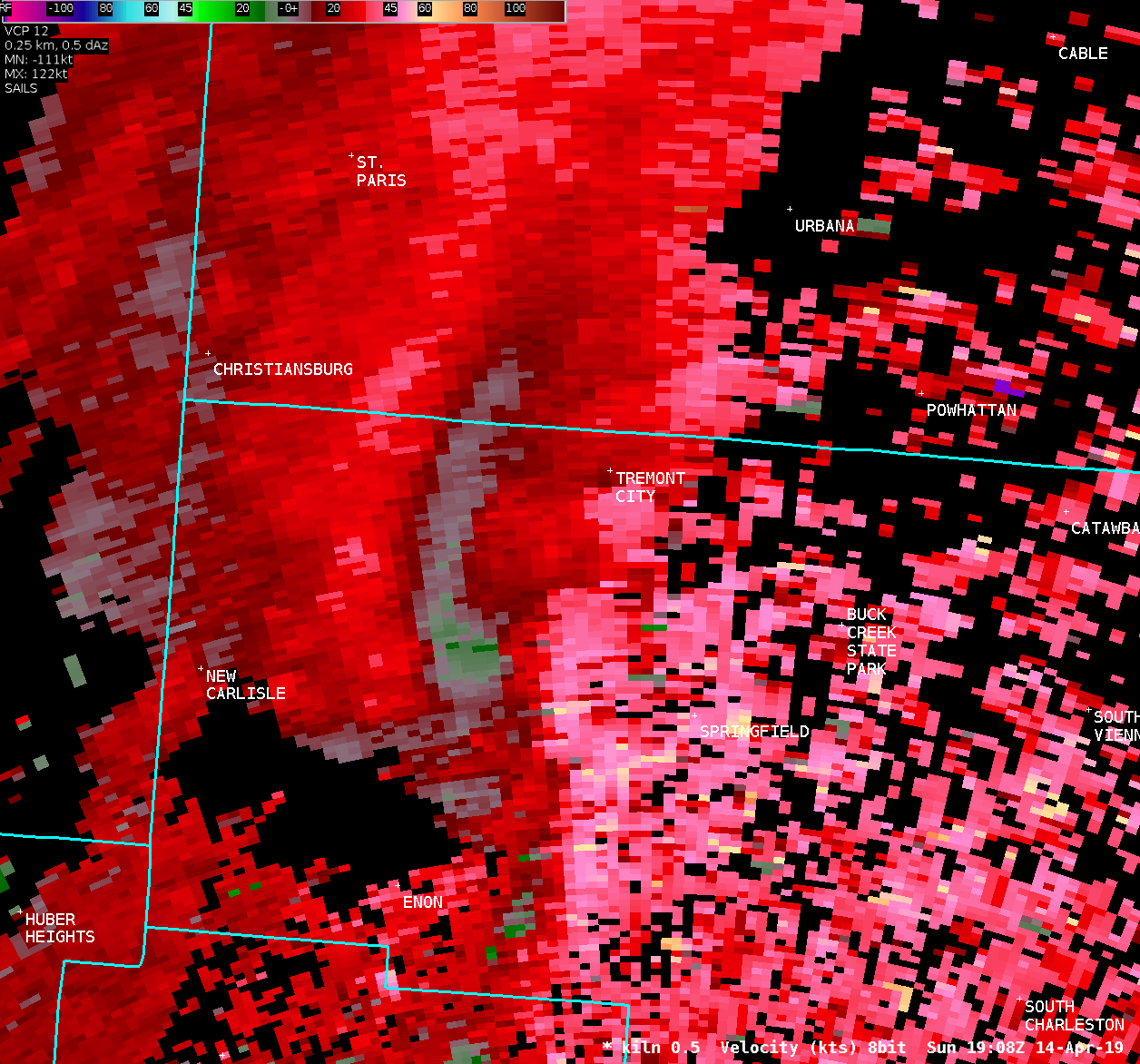
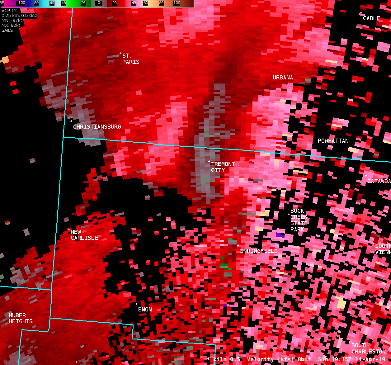
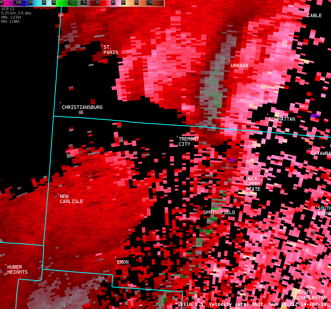
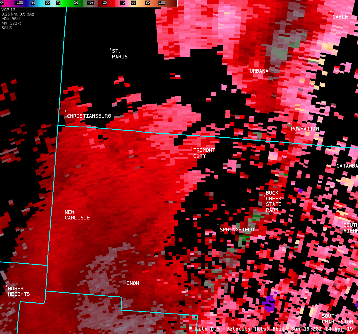
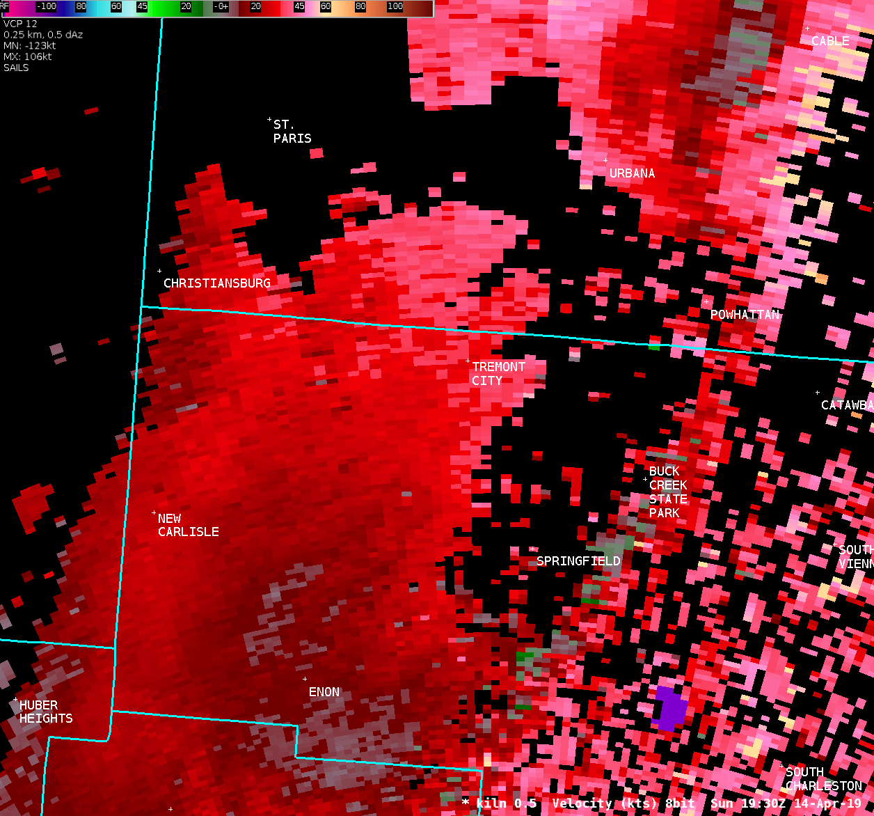
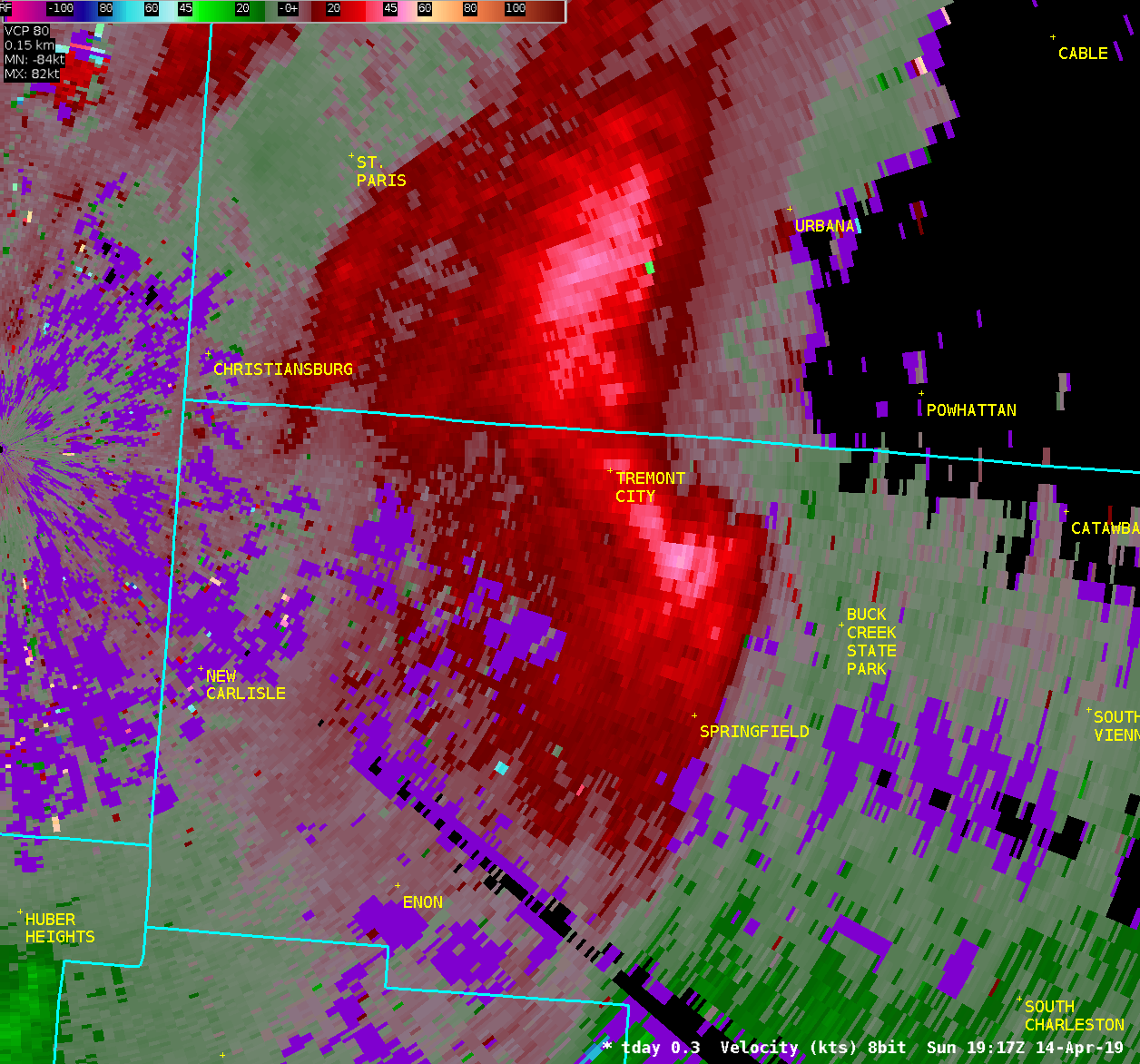
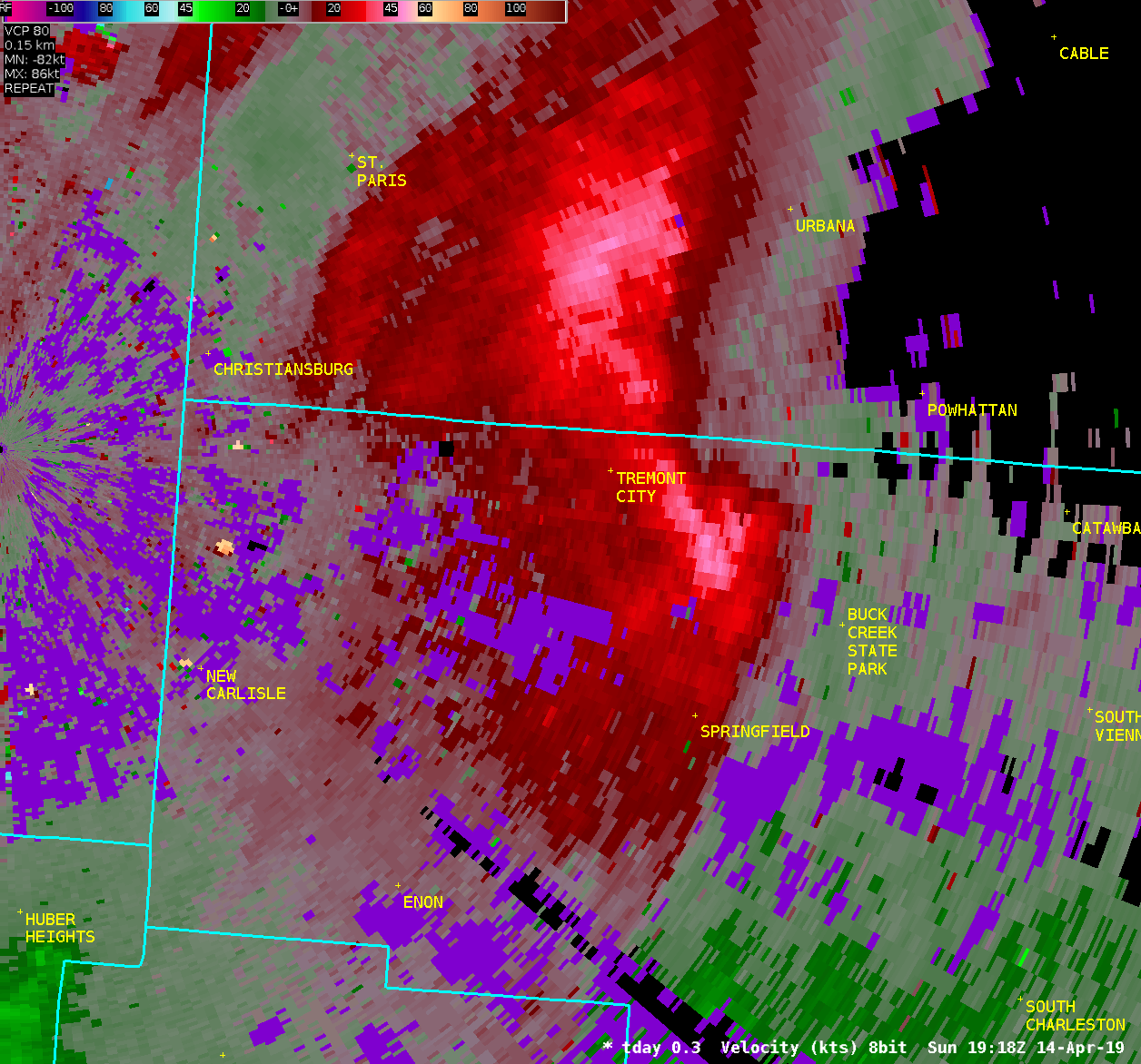
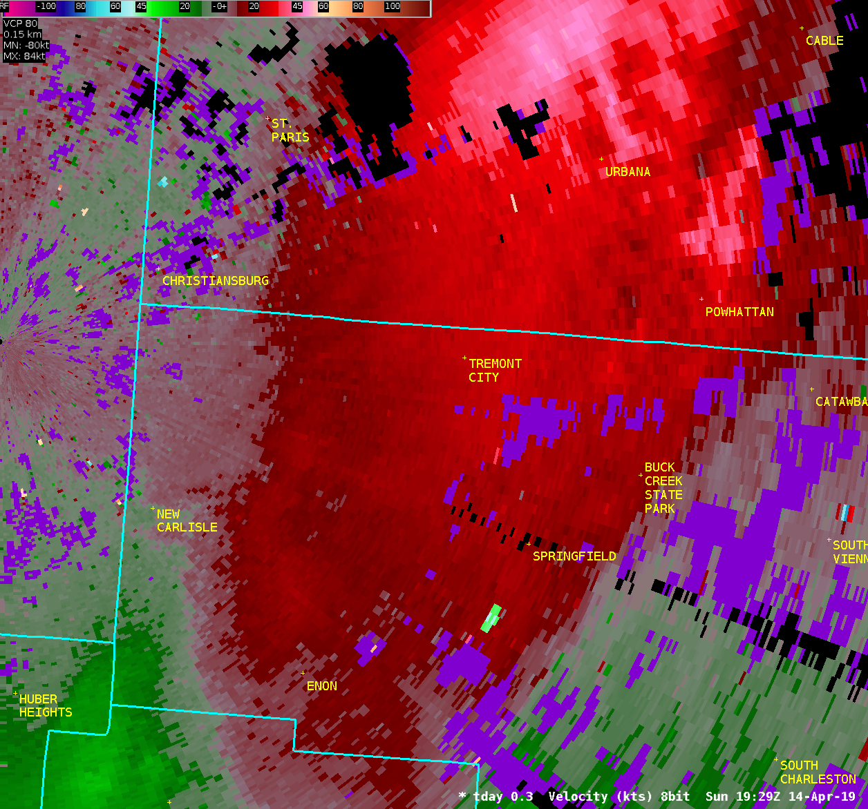
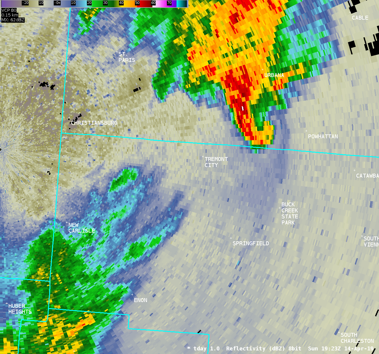
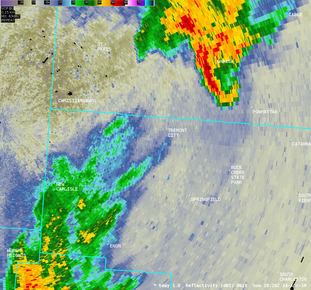
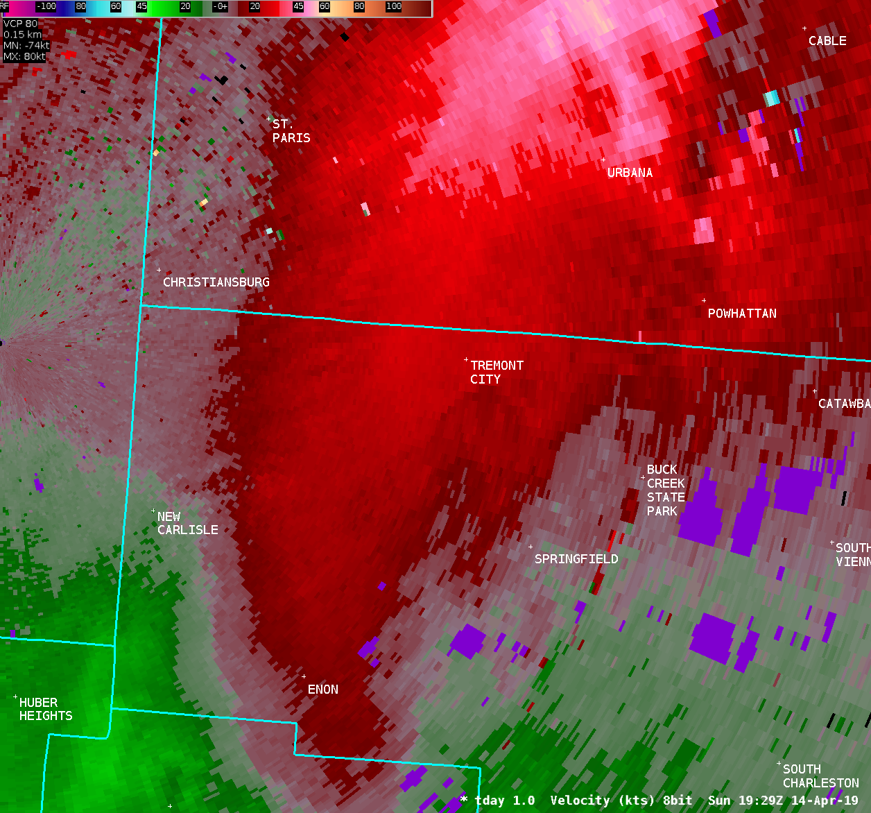
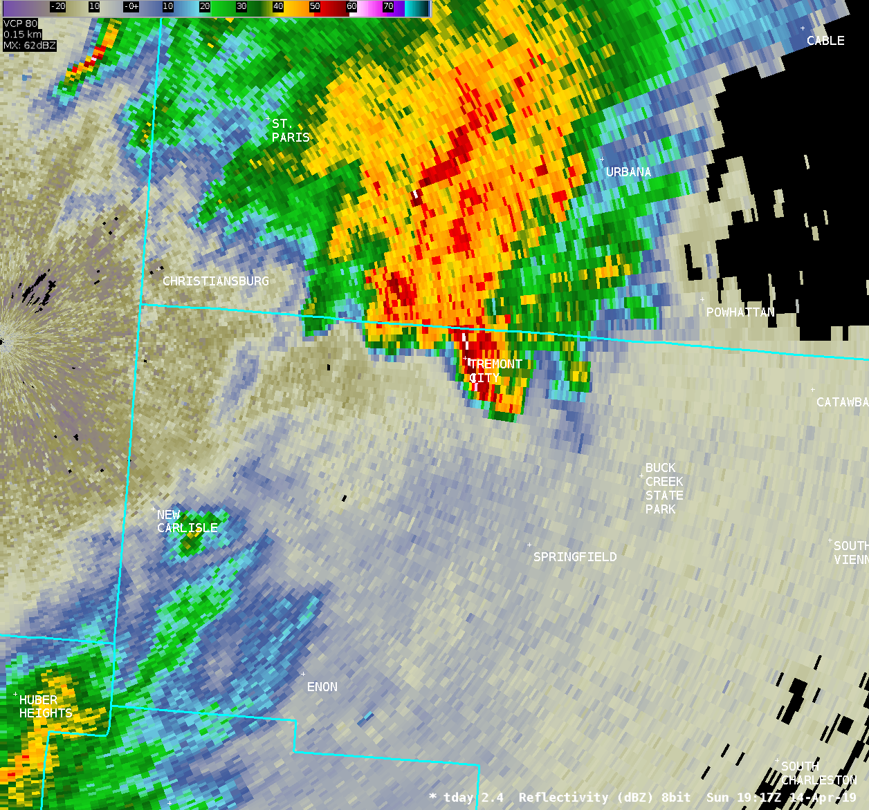
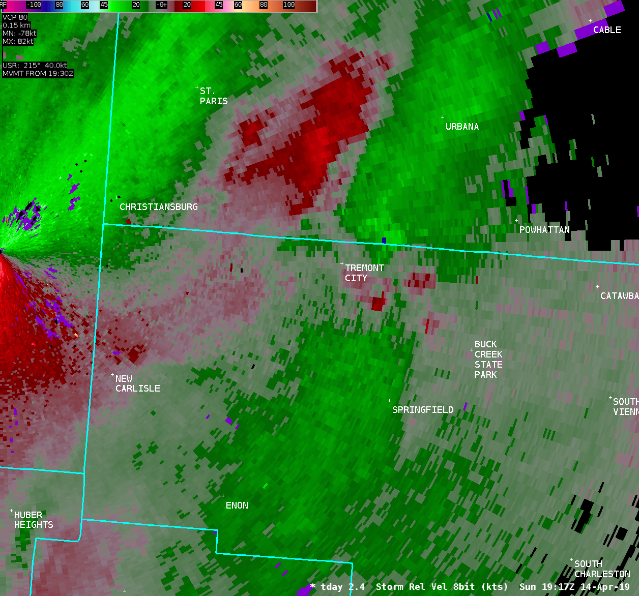
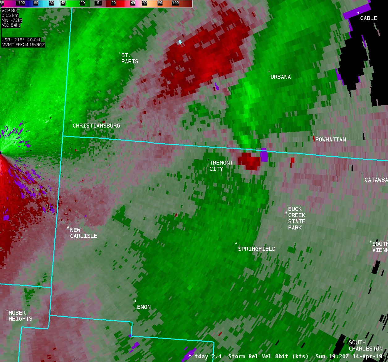
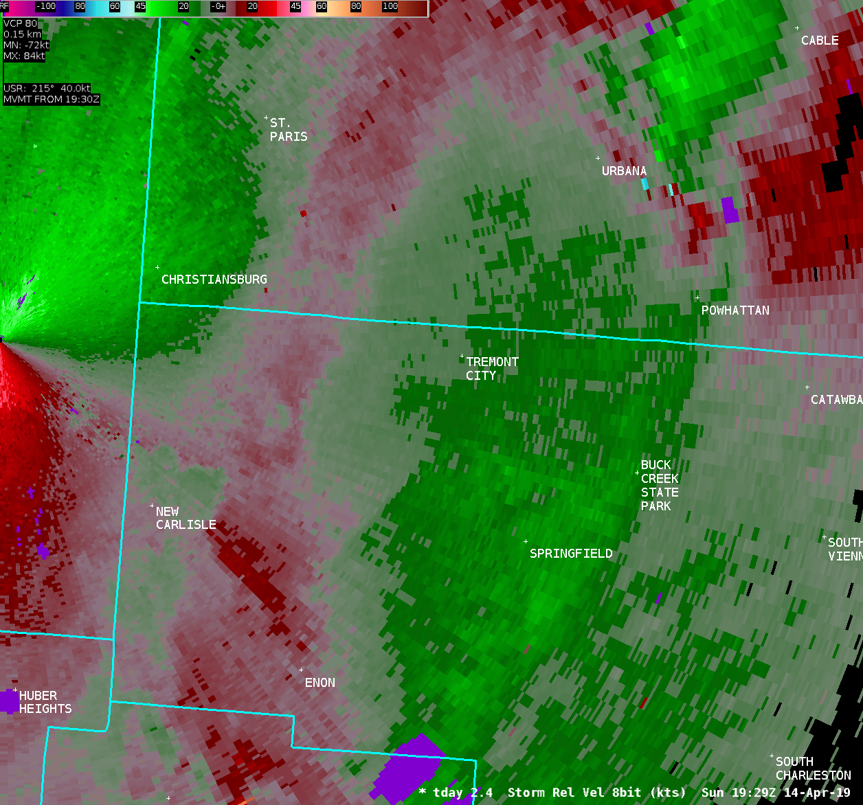
...Summary of additional damage...
Additional damage was surveyed further north in Clark County. Roof
and tree damage was observed along Ridgewood Road, with minor tree
damage observed near Willow Road and Middle Urbana Road. On County
Line Road, additional power pole and tree damage was observed. On
the south side of this road (in Clark County) a play structure was
heavily damaged and blown across a yard. On the north side of this
road (in Champaign County) an outbuilding had a section of its
roof removed. Finally, a farm residence along Morris Road in Clark
County had a section of an outbuilding roof removed.
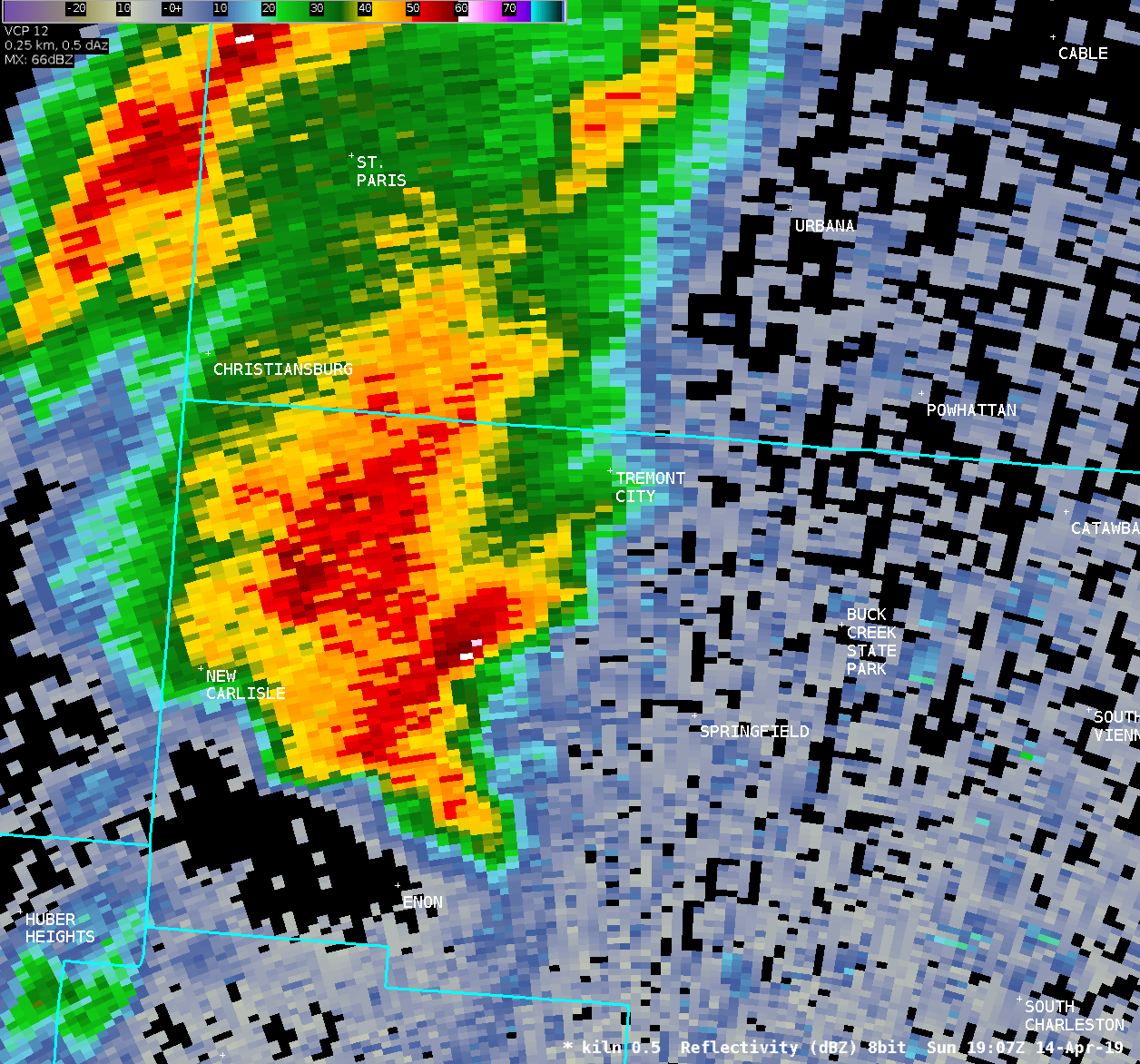
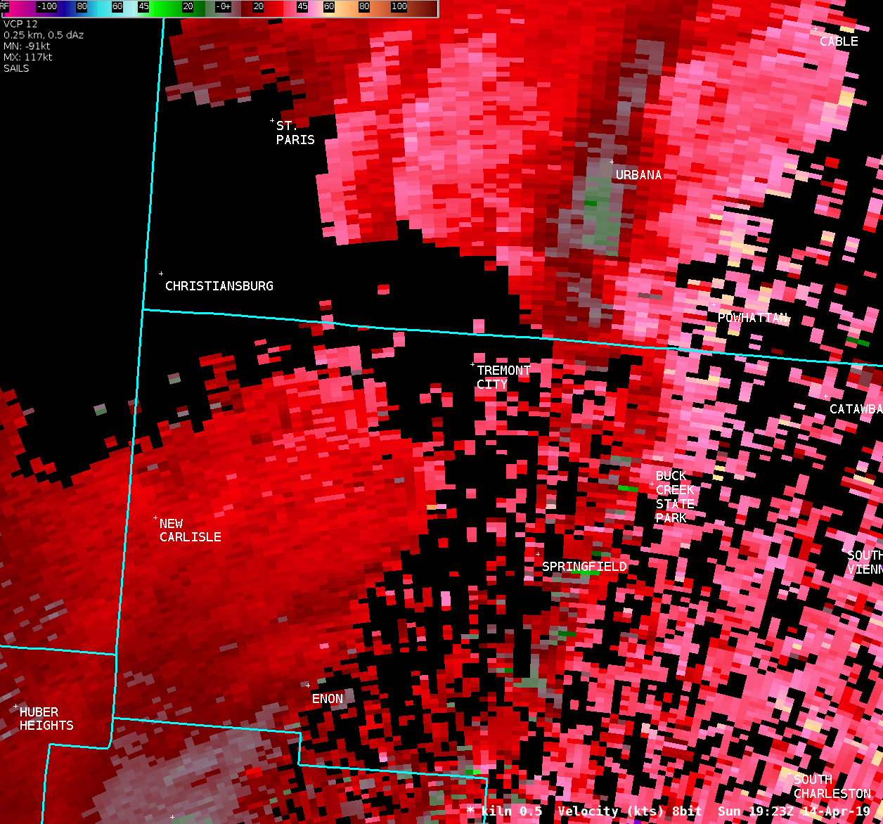
Based on the locations of the damage described in this section,
and the types of damage observed, there was no clear evidence
of a circulation in contact with the ground, and this damage is
believed to have been caused by straight line winds of about 60 to
70 MPH.
The NWS in Wilmington Ohio would like to thank the Clark County
EMA for their assistance with this damage survey.
EF Scale: The Enhanced Fujita Scale classifies tornadoes into the
following categories:
EF0...Weak......65 to 85 mph
EF1...Weak......86 to 110 mph
EF2...Strong....111 to 135 mph
EF3...Strong....136 to 165 mph
EF4...Violent...166 to 200 mph
EF5...Violent...>200 mph
* The information in this statement is preliminary and subject to
change pending final review of the event and publication in NWS
Storm Data.
$$
HATZOS/LOTT
|

