Dangerous, record-breaking heat will intensify across most of the central and eastern U.S this week. Heat indices will likely exceed 100 degrees. Heat is likely to continue across the eastern U.S. through the Independence Day holiday weekend. Critical fire weather conditions will continue Tuesday across portions of the Four Corners and Great Basin, as dry conditions and gusty winds persist. Read More >
 |
|
|
|
|
|
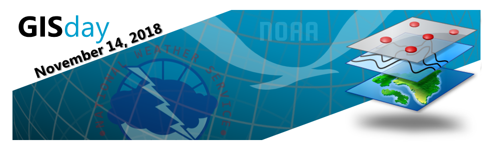
Wednesday, November 14th, 2018, is GIS Day around the world! What is GIS? Does the National Weather Service utilize GIS? Where can I find more information about GIS products and services offered through NOAA and the NWS? |
|
|
|
Radar |
Graphical Forecast Products |
Precipitation Mapping |
|
|
|
|
|
Point and Click Forecasts |
Enhanced Data Displays |
Storm Damage Surveys |
|
|
|
|
|
Unique or Special Event Mapping |
Weather Event Impact Analysis |
Flood Inundation Mapping |
|
|
|
|
|
|
||||||||||||
|
|
||||||||||||
|
|
||||||||||||
|
|
||||||||||||
This page provided by the NWS Central Region Geospatial Projects Group