
Wildfires and poor air quality continue for the Pacific Northwest, Rockies and extended into the Plains. Severe thunderstorms possible for the northern Plains and upper Midwest on Monday along a frontal boundary. Another boundary will focus showers and thunderstorms for the eastern seaboard with localized heavy rainfall possible. For Alaska, a strong Bering Sea storm will bring winds and rainfall. Read More >
Last Map Update: Sun, Aug 2, 2026 at 7:06:31 pm PDT
|
Text Product Selector (Selected product opens in current window)
|
|


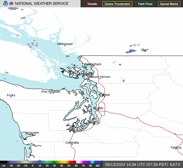 Camano Island Radar
 Coastal Radar
 Satellite
 Weather Map
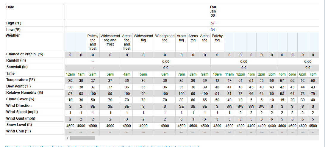 Forecast Weather Tables
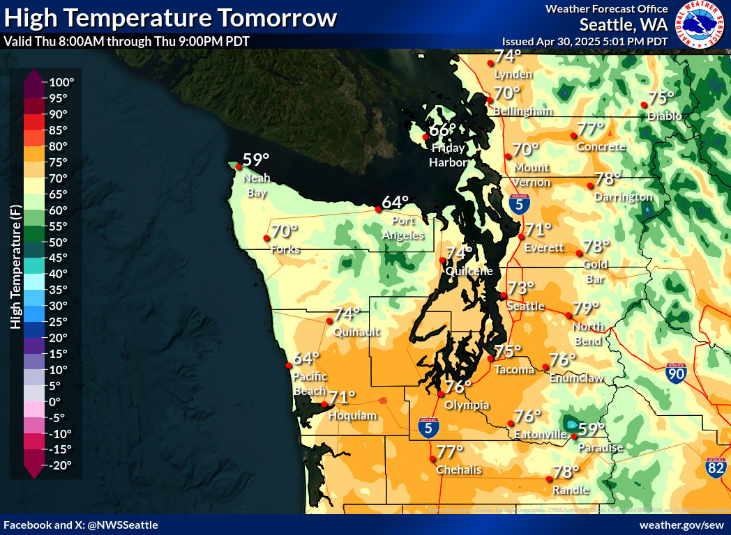 Local Forecast Graphics
 Hydrology
 Fire Weather
 Forecast Discussion
 Aviation
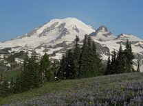 Mt. Rainier Rec. Report
 Graphical Forecasts
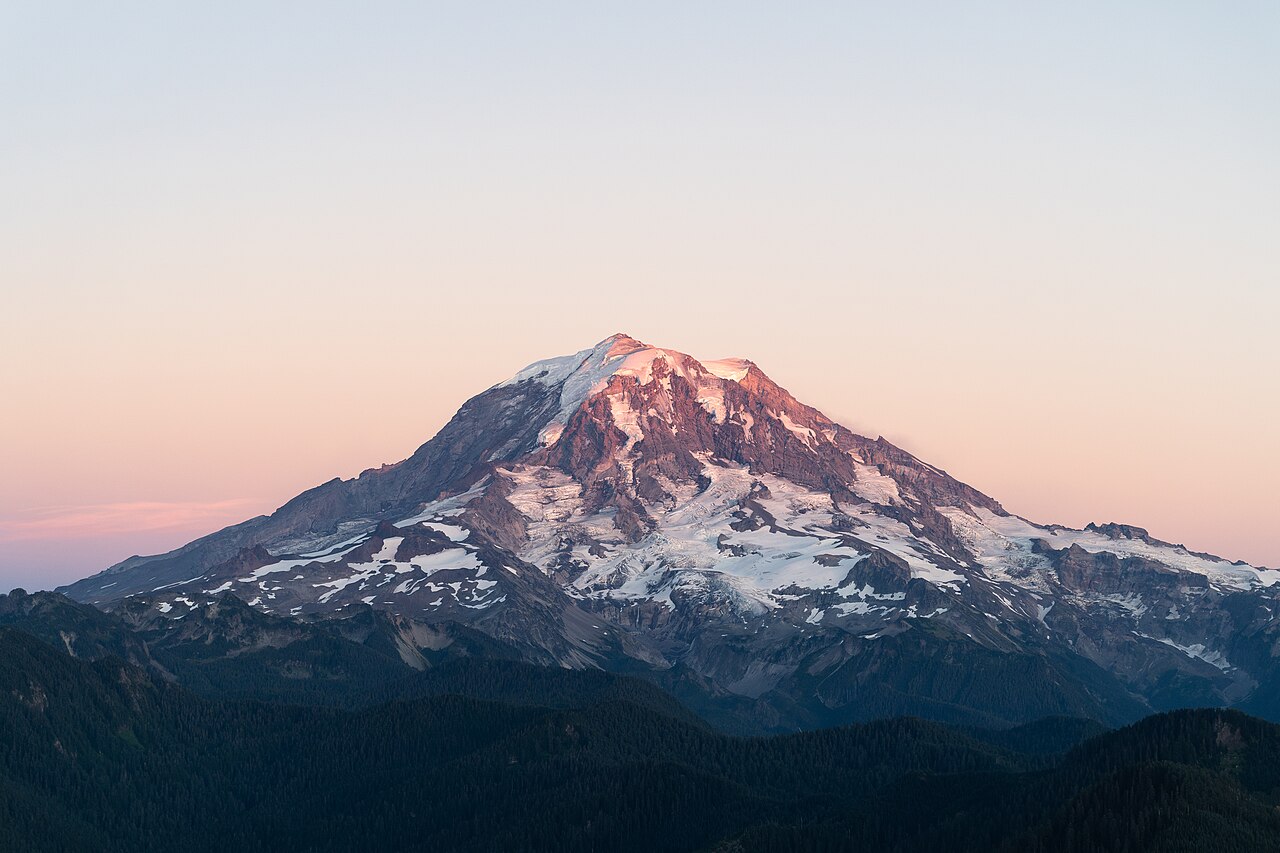 Mountain Weather Observations and Forecasts
 Area webcams
 Weather Stats