There is a 15-30% chance for thunderstorms across northwest Oregon and southwest Washington through early Thursday morning. Impacts include lightning, heavy rain, small hail, and erratic outflow winds. Areas in dark green have a 5% chance for severe wind gusts exceeding 60 mph. When thunder roars, go indoors!


 Forecast Discussion
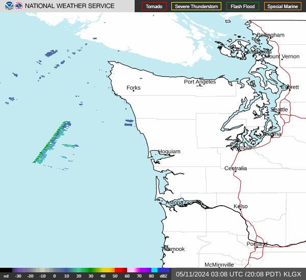 Langley Hill Radar
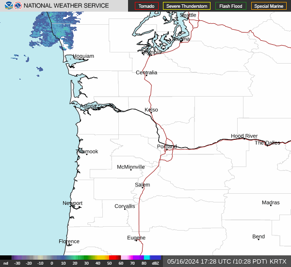 Portland Radar
  Satellite
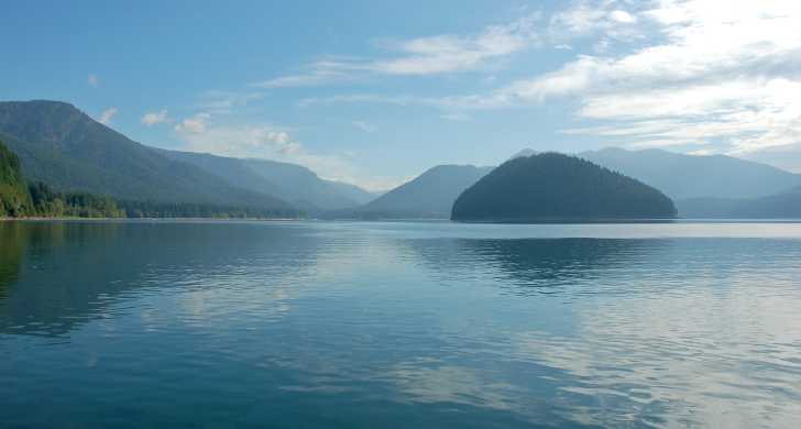 Rivers & Lakes
 Current Weather
 Graphical Forecasts
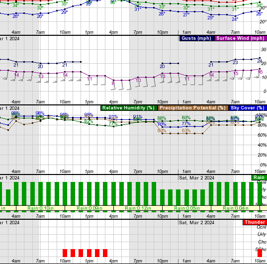 Forecast, Hourly
 Submit Storm Report
 Experimental QPF Probability
 Experimental Winter Probability
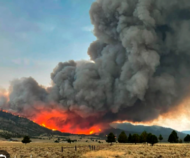 Fire Weather
 Aviation Weather
 Marine Weather
 Bar Obs & Cams
 Drought Info
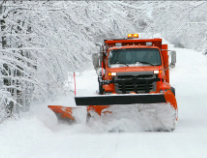 Road Conditions
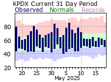 Climate Charts