
Heavy rainfall and flooding concerns remain for today across Central Texas and the Hill Country, with scattered thunderstorms expected this afternoon and evening. Tropical Storm Chantal has formed and will bring heavy rainfall and flooding concerns to portions of the coastal Carolinas. Life-threatening surf and rip currents are expected from the Southeast to Mid-Atlantic. Read More >
Last Map Update: Sun, Jul 6, 2025 at 1:02:21 am PDT


|
Text Product Selector (Selected product opens in current window)
|
|





 Social Media Feeds
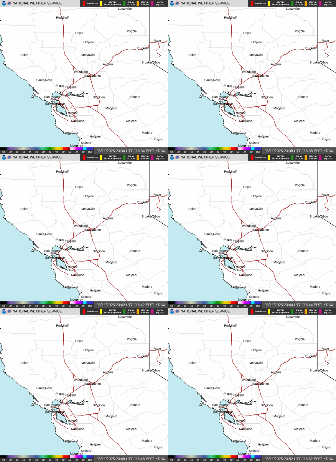 Sacramento Radar
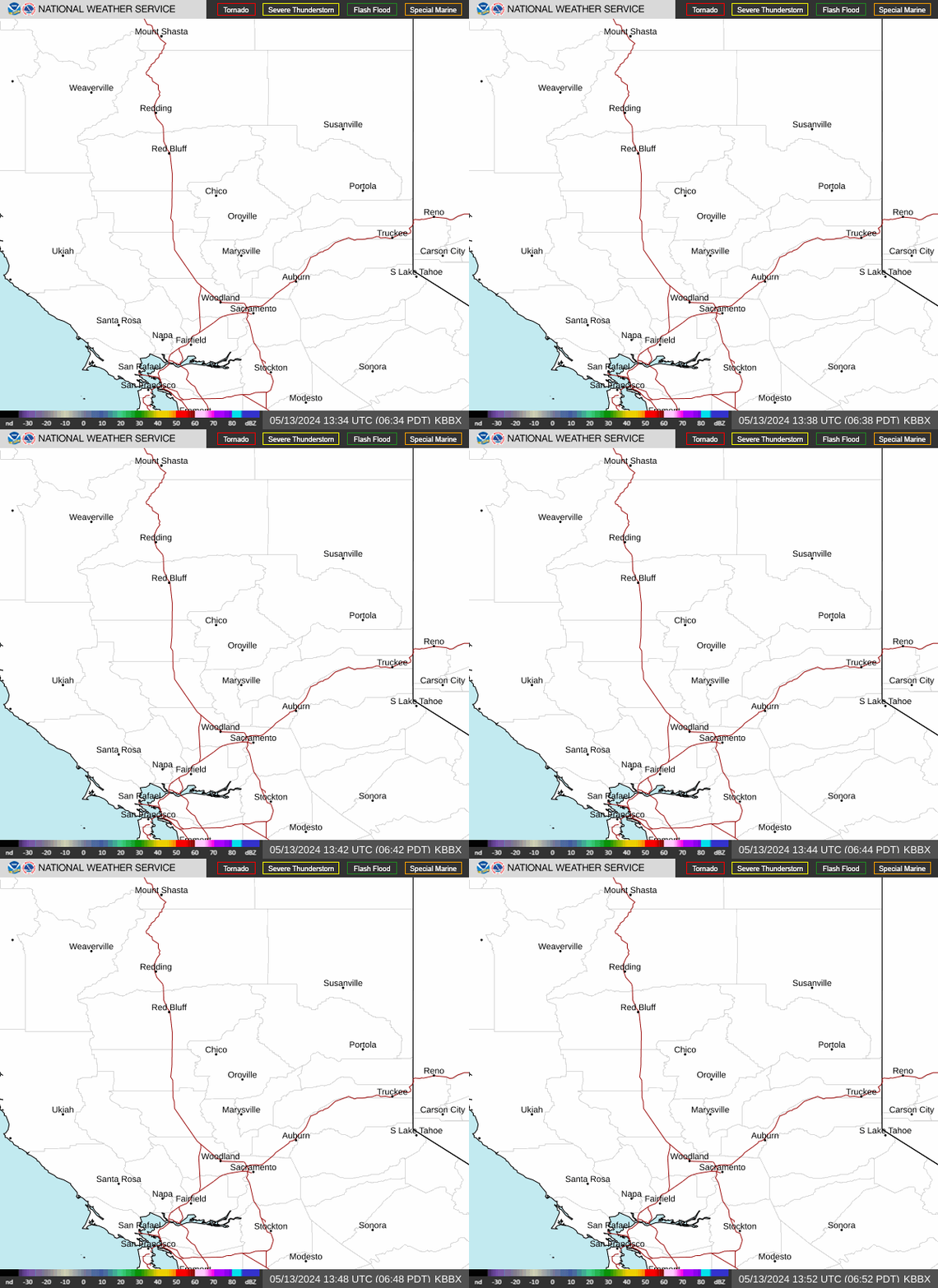 Beale Radar
 Satellite
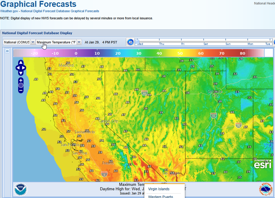 Graphical Forecasts - Local
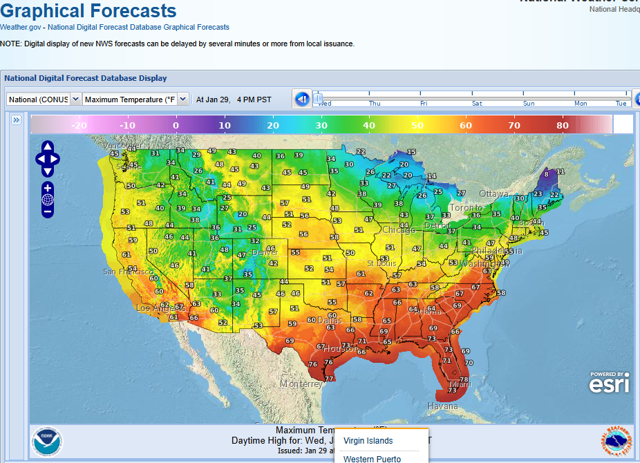 Graphical Forecasts - U.S.
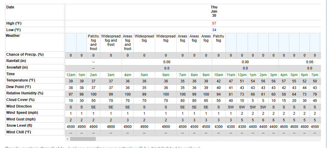 Forecast Weather Tables
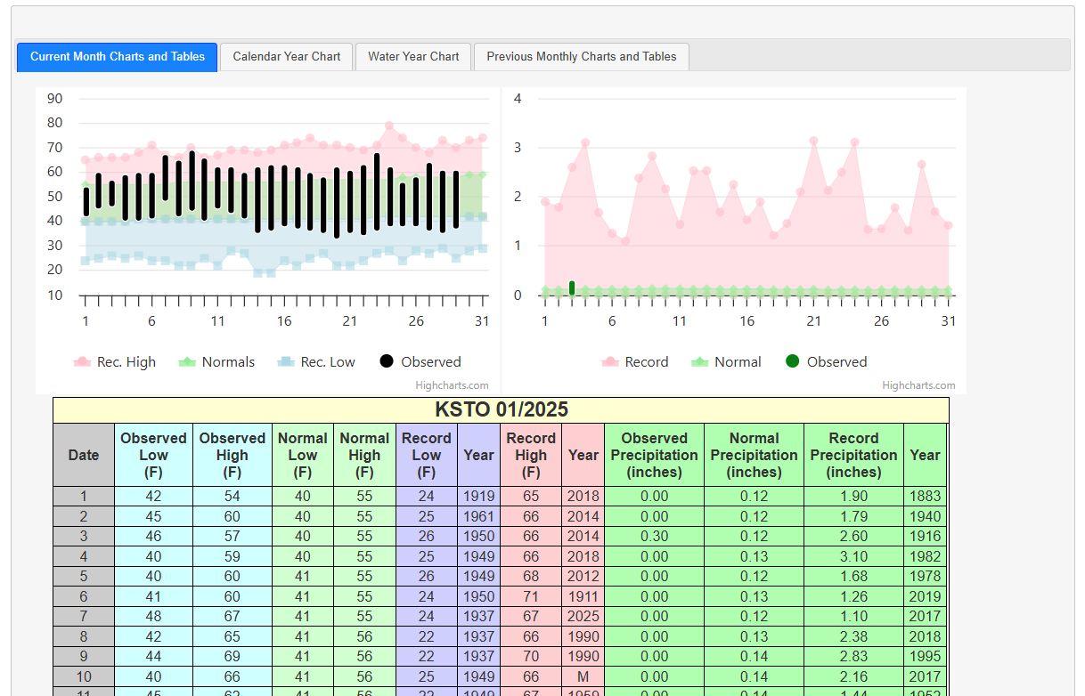 Recent STO Temperatures
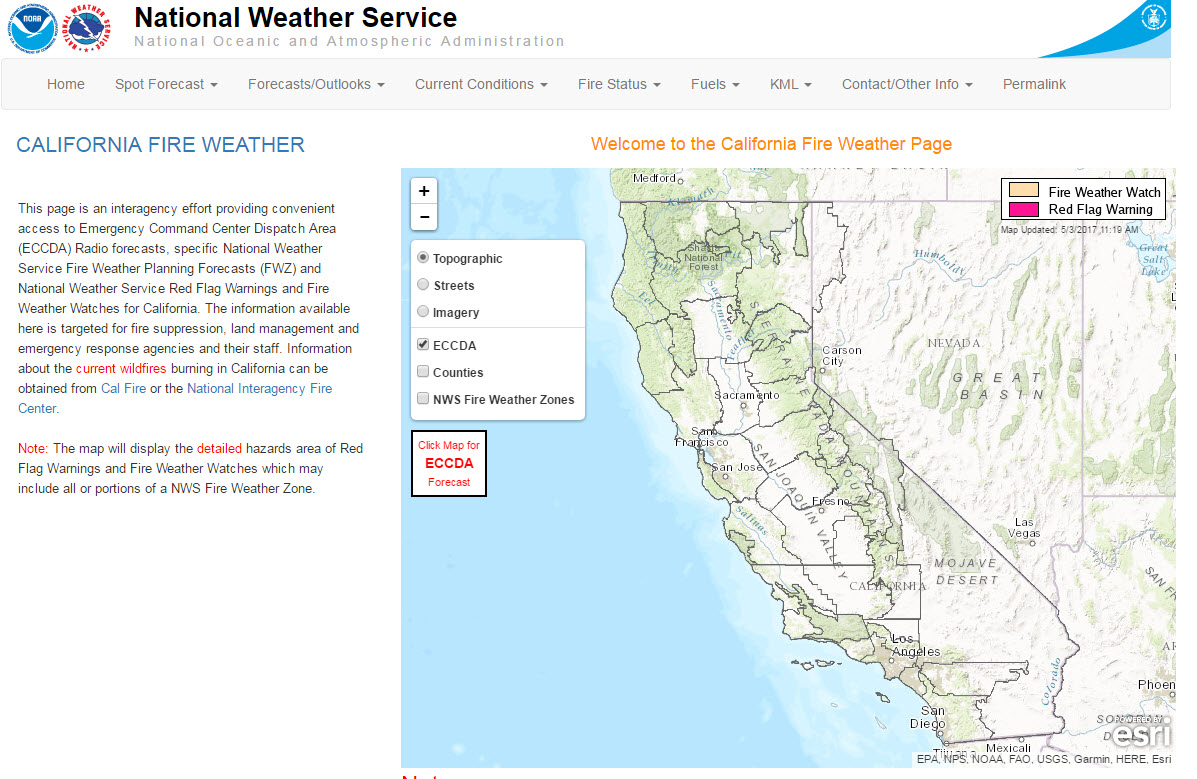 California Fire Weather Page
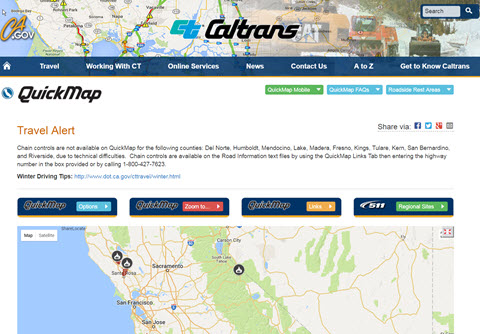 Caltrans QuickMap
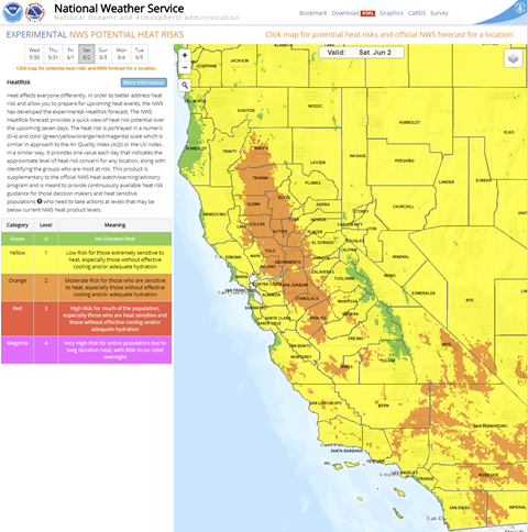 Heat Risk Link
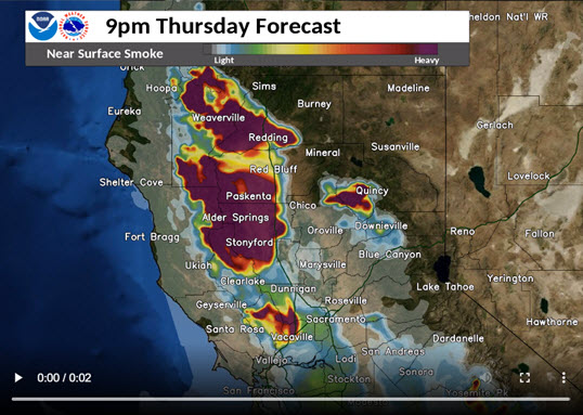 Experimental Smoke Forecast
 Follow us on X
 Follow us on Facebook
 Follow us on YouTube
 STO RSS Feed