National Weather Service United States Department of Commerce

Two Pacific Storms to Impact the Western U.S. This Week

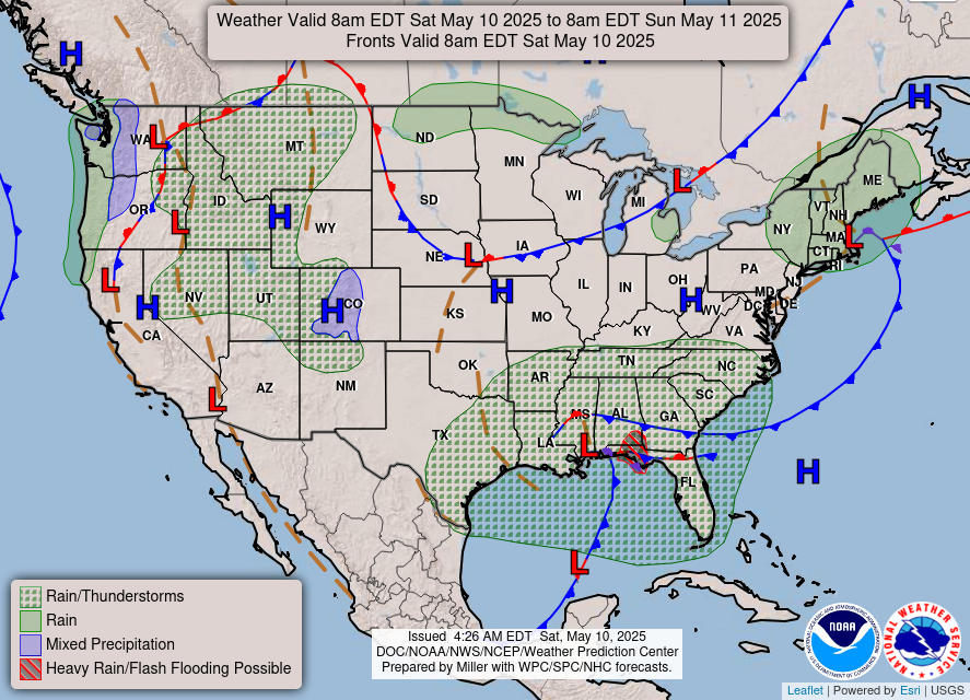
Two Pacific storms will impact the western U.S. this week with low elevation rain, mountain snow, and gusty winds. The second storm arriving Tuesday night into Wednesday may bring heavy to excessive rainfall and possible flooding for coastal central and southern California, while heavy mountain snow is possible across the Sierra Nevada mountains. Read More >

Click a location below for detailed forecast.

Last Map Update: Sun, Nov 15, 2026 at 5:56:20 pm PST
A Winter Storm Watch has been issued for the Eastern Sierra Slopes from Wednesday morning through Friday morning. 10 to 18 inches of snow is possible between 5000 and 8000 feet, and 18 to 36 inches of snow is possible above 8000 feet. Locally higher amounts are possible over the ridgeline. Wind gusts reach 50 mph, which may cause damage to trees and power lines. Travel may become difficult to impossible on area roadways, including on Highway 168 to Aspendell.
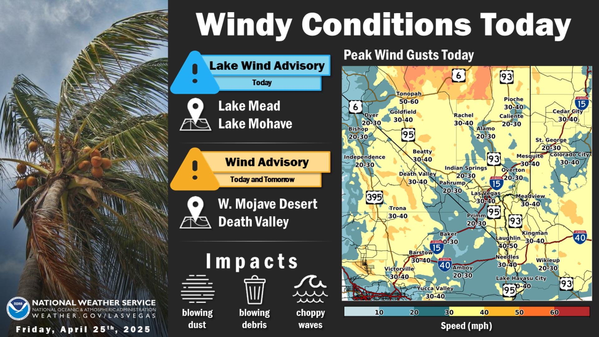
After gusty winds and light showers exit Saturday morning, the rest of the weekend is calm and cool!
Light but persistent rain returns Monday and lasts through much of Tuesday. Expect around 0.02 to 0.20" for all but Northeast Clark Co, Mohave Co, and Lincoln Co which will range from 0.30 to 0.60"