
A Pacific storm will bring rain and high elevation snow from the Pacific Northwest into the Northern Rockies. A series of storms are expected to move through the Bering Sea bringing strong winds, heavy precipitation, and elevated water levels from the West Coast to northern Alaska. Read More >
Last Map Update: Sun, Oct 25, 2026 at 9:38:36 pm PDT






 Graphical Forecast
 Satellite
 Las Vegas Radar
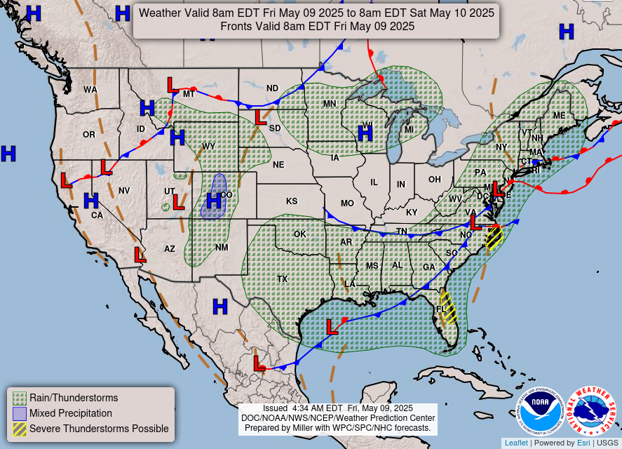 Current Weather Map
 Climate
 Recreation Forecasts
 Harry Reid Forecast
 Weather Stats
 Follow us on X
 Follow us on Facebook
 Follow us on YouTube
 VEF RSS Feed