
Tropical system in the Gulf expected to gradually strengthen the next couple of days off the Florida Panhandle and Alabama coasts. Instances of flash flooding will be possible through Thursday along the eastern and central Gulf Coast. Severe thunderstorms will develop and move along a cold front crossing the Upper Midwest, and through the Ohio Valley/Mid-Atlantic on Tuesday. Read More >
Important Disclaimer
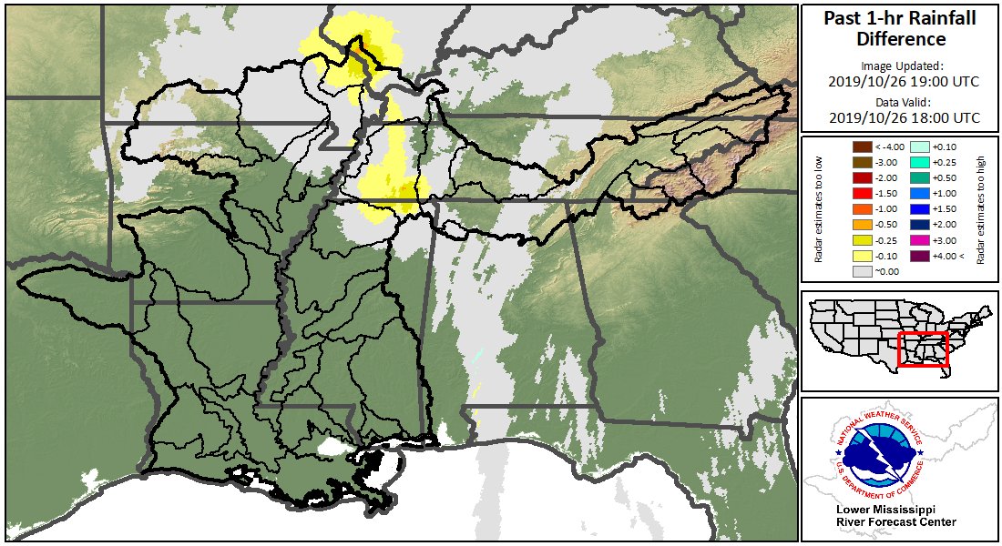
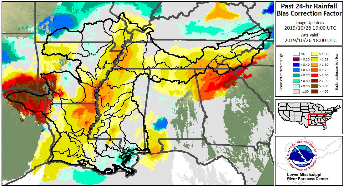
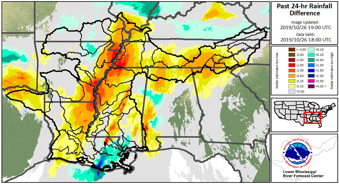
The following graphics are experimental and not an official forecast product. The graphics were created to display diagnostics for the MRMS radar-only rainfall estimate product. The plots were developed as a tool for assessing potential biases in data that has not been adjusted using rain gauges.
Experimental products may not always update in a timely manner and may be discontinued at a future date. Experimental products may not always reflect accurate, quality controlled information and should be used with caution.


 Water Story