Isolated severe storms are possible across parts of the Florida Peninsula and the Great Lakes to Lower Missouri Valley and south-central Plains late this afternoon and early evening. Elevated to critical fire weather concerns continue over much of the northern Great Plains. Above average temperatures persist across portions of the West today. Read More >
Lower Mississippi RFC
River Forecast Center
Back to Mobile Data Selection | More Forecast Information
Tennessee Valley Reservoir Information - Tennessee Valley Authority
Cedar Cliff, Glenville Reservoir Releases - Duke Energy
Waterville Reservoir Status - Duke Energy


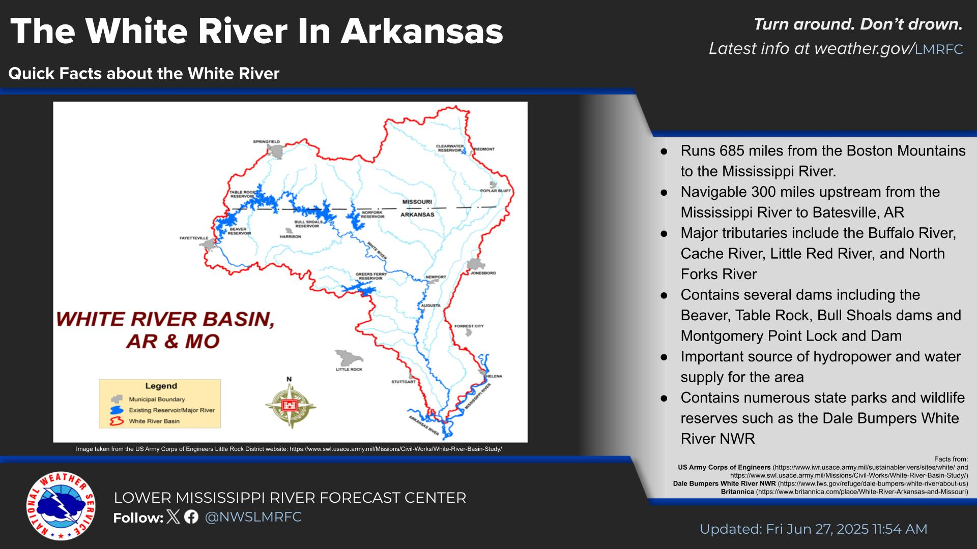
 Water Story