National Weather Service United States Department of Commerce
Click a location below for detailed forecast.

Last Map Update: Wed, May. 1, 2024 at 6:52:53 pm CDT

National Weather Service Pueblo, CONational Weather Service Amarillo, TXNational Weather Service Norman, OK
National Weather Service Albuquerque, NMZoom
Out

National Weather Service Fort Worth/Dallas, TX
National Weather Service El Paso, TXNational Weather Service Midland/OdessaNational Weather Service San Angelo, TX

Regional Doppler radar imagery.
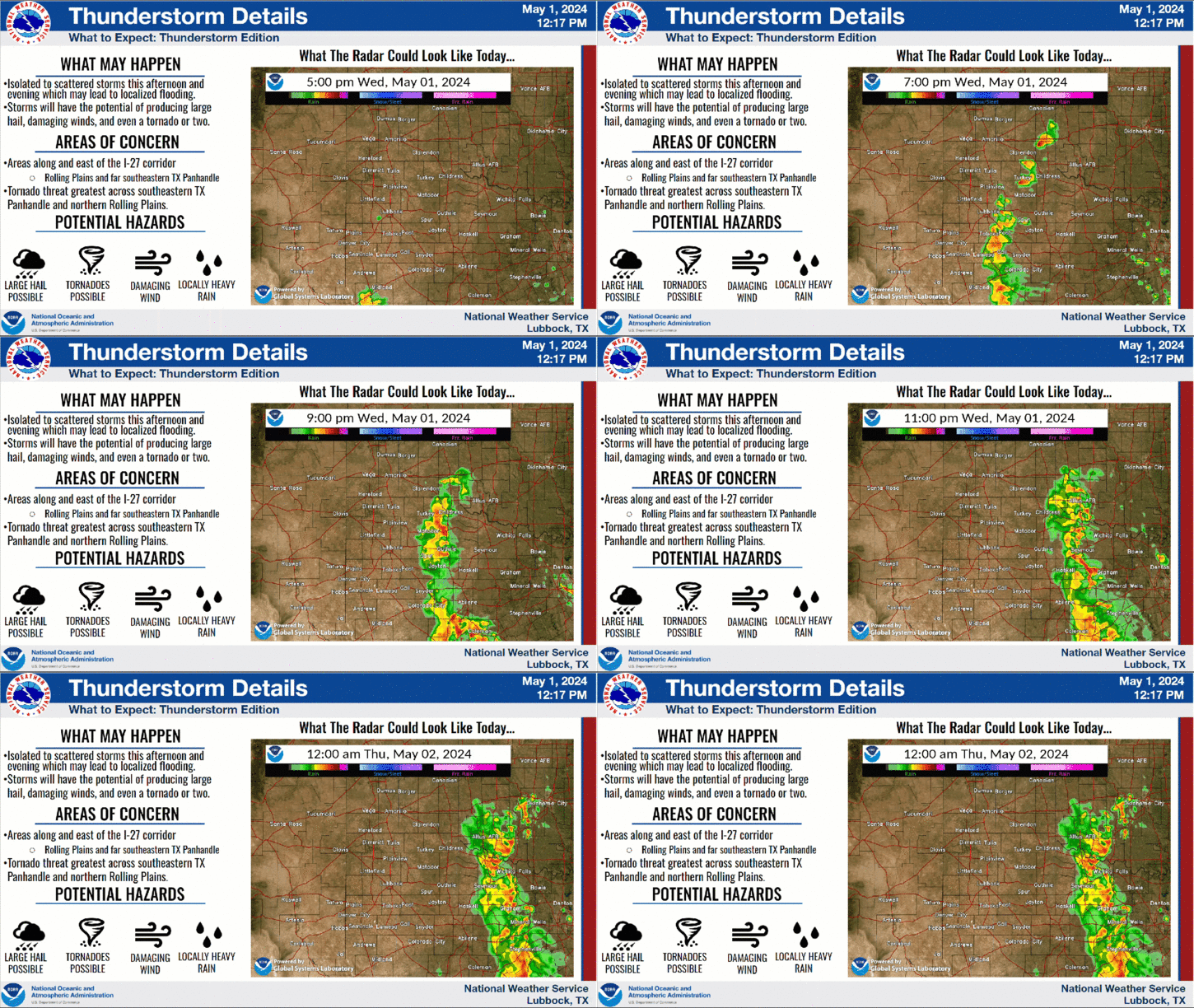
Isolated to scattered thunderstorms are developing east of Interstate 27 and Highway 87 early this evening. Coverage is expected to increase as the evening progresses. A tornado watch has been issued for much of the area until 11 PM CDT. Severe thunderstorms with hail up to 4 inches, winds up to 75 mph, localized flooding are all possible.
May kicks off with very warm temperatures and mostly sunny skies, but will likely turn stormy later this afternoon and evening as thunderstorms develop near and east of a Brownfield to Lubbock to Silverton line. Severe storms with very large hail, damaging winds and locally heavy rain are possible at times.
Thunderstorms will grow in coverage this evening with severe winds, hail and heavy rain all possible as they move into the Rolling Plains and far southeast Texas Panhandle. Dry and quiet conditions are expected after midnight with lows in the 50s and 60s.
Please report any severe weather impacts in your area!


Local Weather History For May 1st...
1984: A very long-lived supercell erupted in northern Hale and southern Swisher Counties late this day before arcing 90
degrees to the right of the upper wind flow and tracking due southeast across Briscoe, Floyd, Motley, Cottle, King, Knox,
and Haskell Counties. As this supercell crossed the Floyd and Motley County line at 7:20 PM, strong tornadic signatures
became evident on the Lubbock WSR-74C weather radar. It wasnt until 7:44 PM that storm spotters with the Matador Fire
Department observed a tornado develop five miles WNW of Matador moving toward the city. This F3 tornado hit Matador at
7:52 PM destroying 27 homes