|
|
 |
National Weather Service Newport/Morehead City, NC Severe Weather Briefing Page |
 |
| Winter Briefing Page | Hydrology/Flooding Briefing Page | Tropical Briefing Page |
| BASIC WEATHER GRAPHICS (Click on Graphic to Expand) |
|
Convective Outlook (Day 1)
|
Convective Outlook (Day 2)
|
Convective Outlook (Day 3)
|
|
Current Watches
|
Current Mesoscale Discussions
|
Severe Weather Reports
|
|
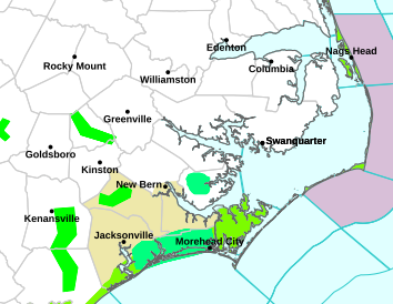
Current Watches/Warnings
|
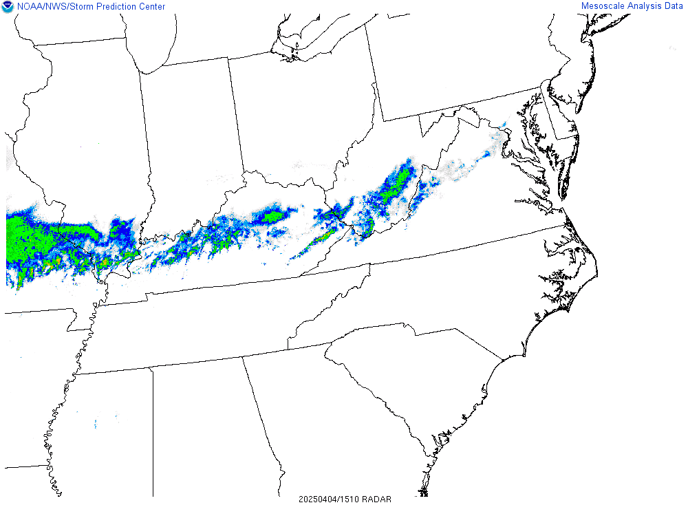
Regional Radar
|
Visible Satellite
|
|
Eastern Satellite
|
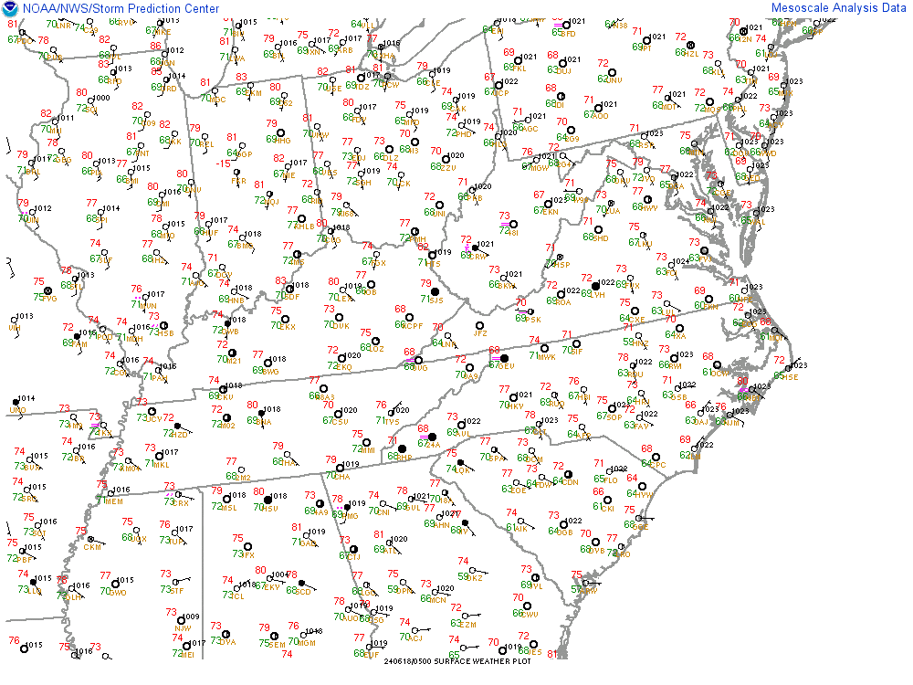
Regional Surface Observations
|
Temperature/Dewpoint
|
|
Moisture Convergence
|
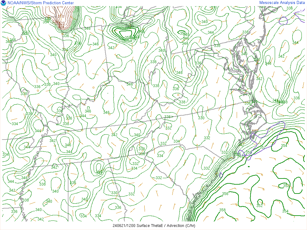
Surface Theta-E
|
Precipitable Water
|
|
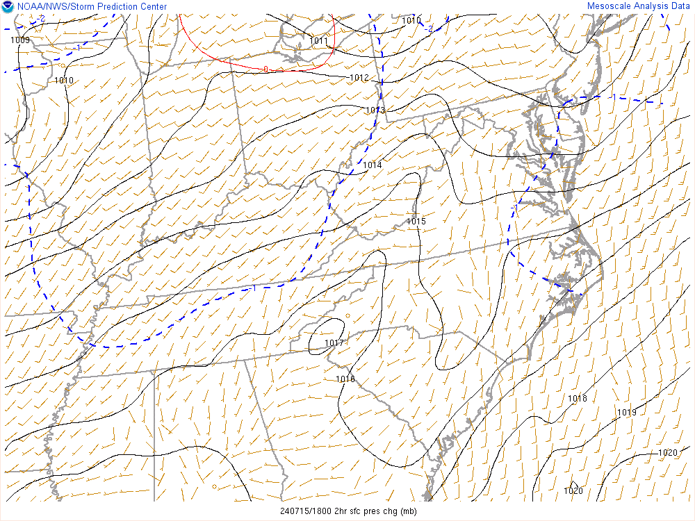
2 Hour Surface Pressure Change
|
Surface Analysis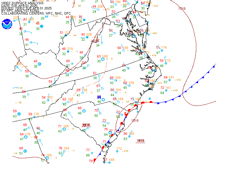 |
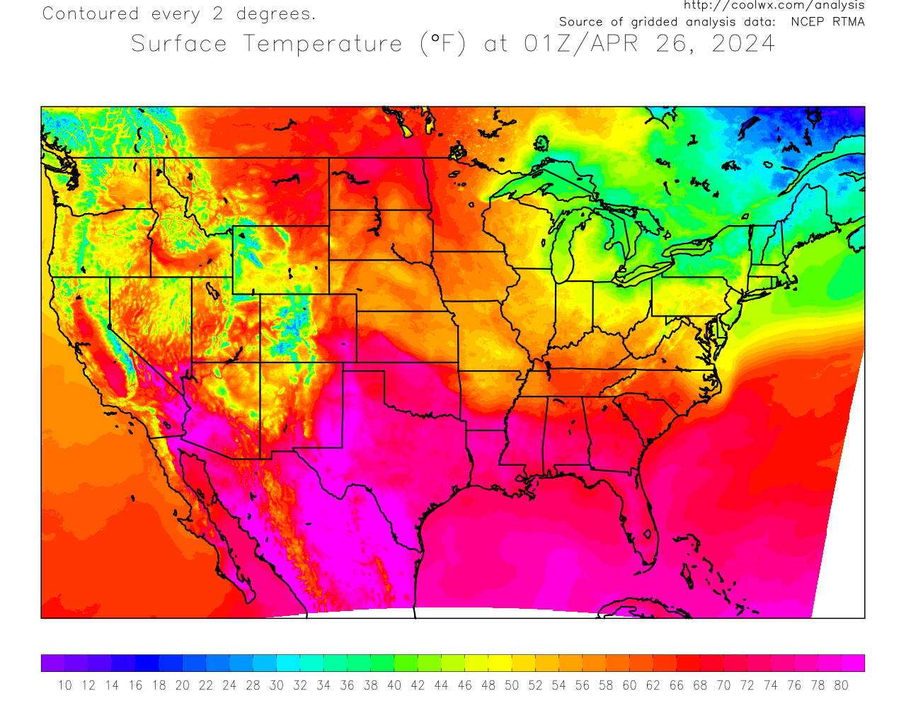
RTMA Temperature
|
|
850 MB Analysis
|
850 MB Temperature Advection
|
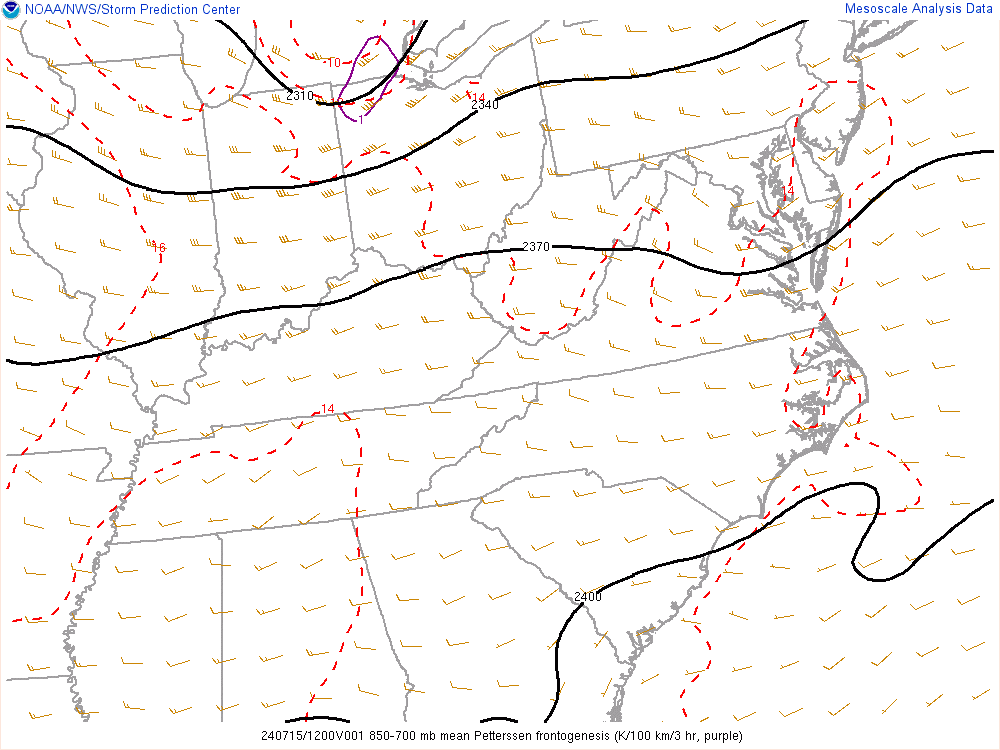
850 to 700 mb Frontogenesis
|
|
700 MB Analysis
|
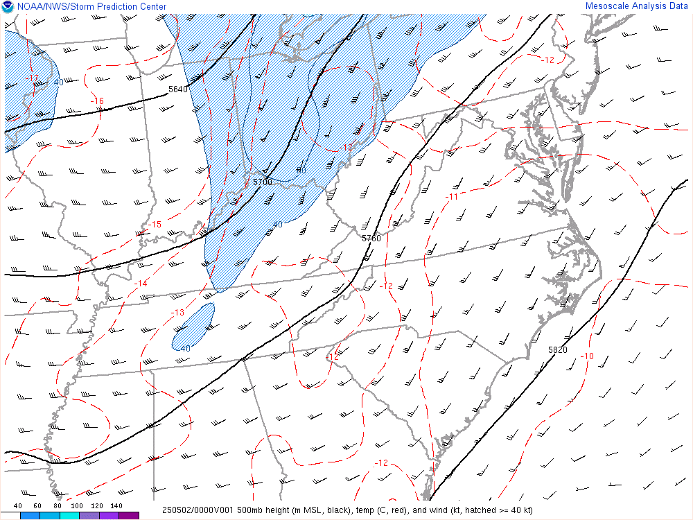
500 MB Analysis
|
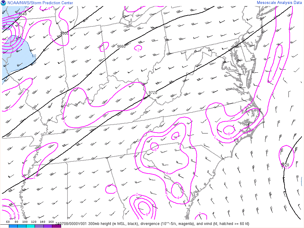
300 MB Analysis
|
|
RAINFALL FORECASTS (Click on Graphic to Expand) |
|
Day One QPF
|
Day Two QPF
|
Day Three QPF
|
| SOUNDINGS (Click on Graphic to Expand) |
|
Charleston
|
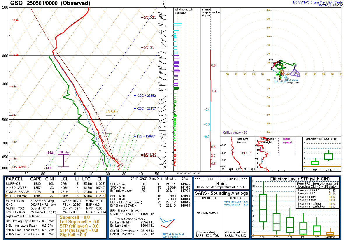
Greensboro
|
Morehead City
|
| INSTABILITY (Click on Graphic to Expand) |
|
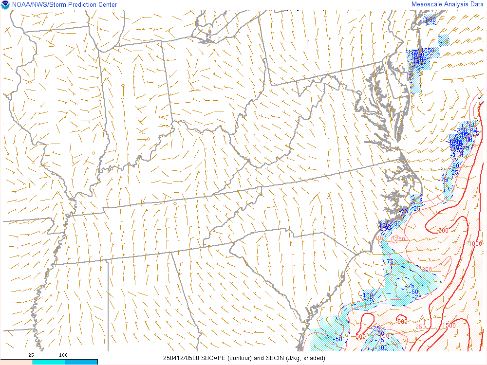
Surface Based CAPE
|
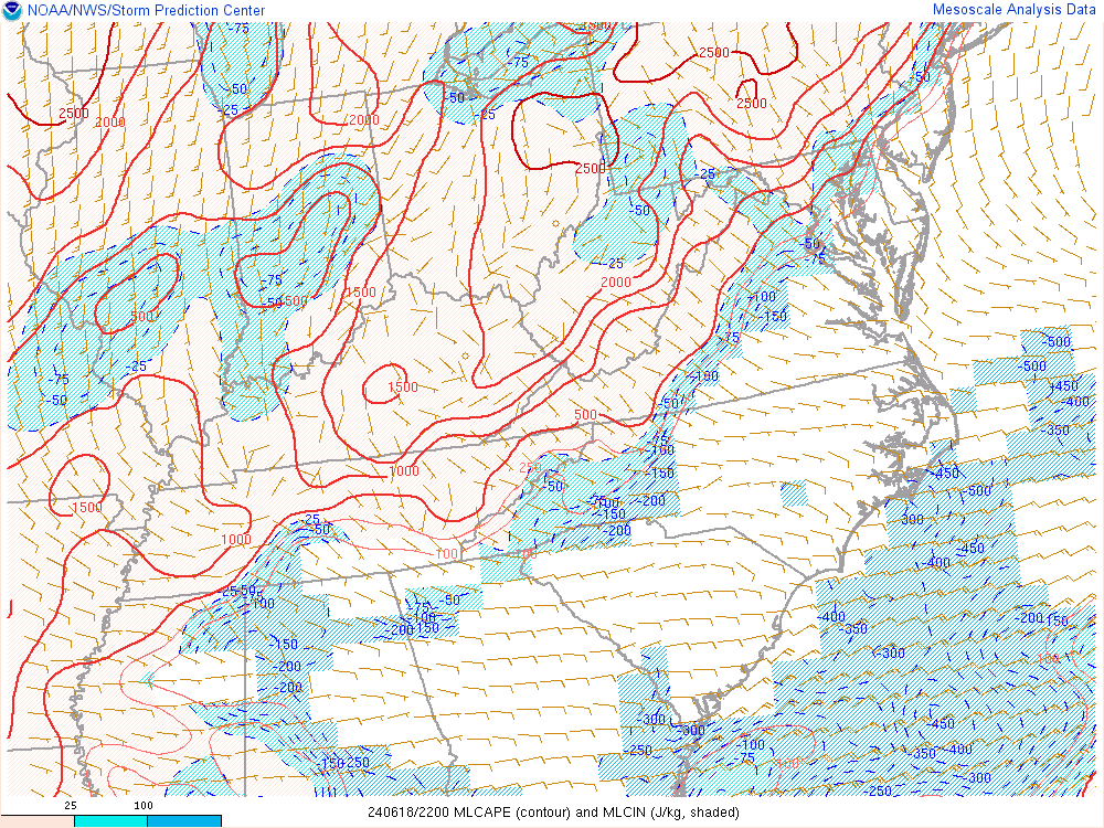
ML CAPE
|
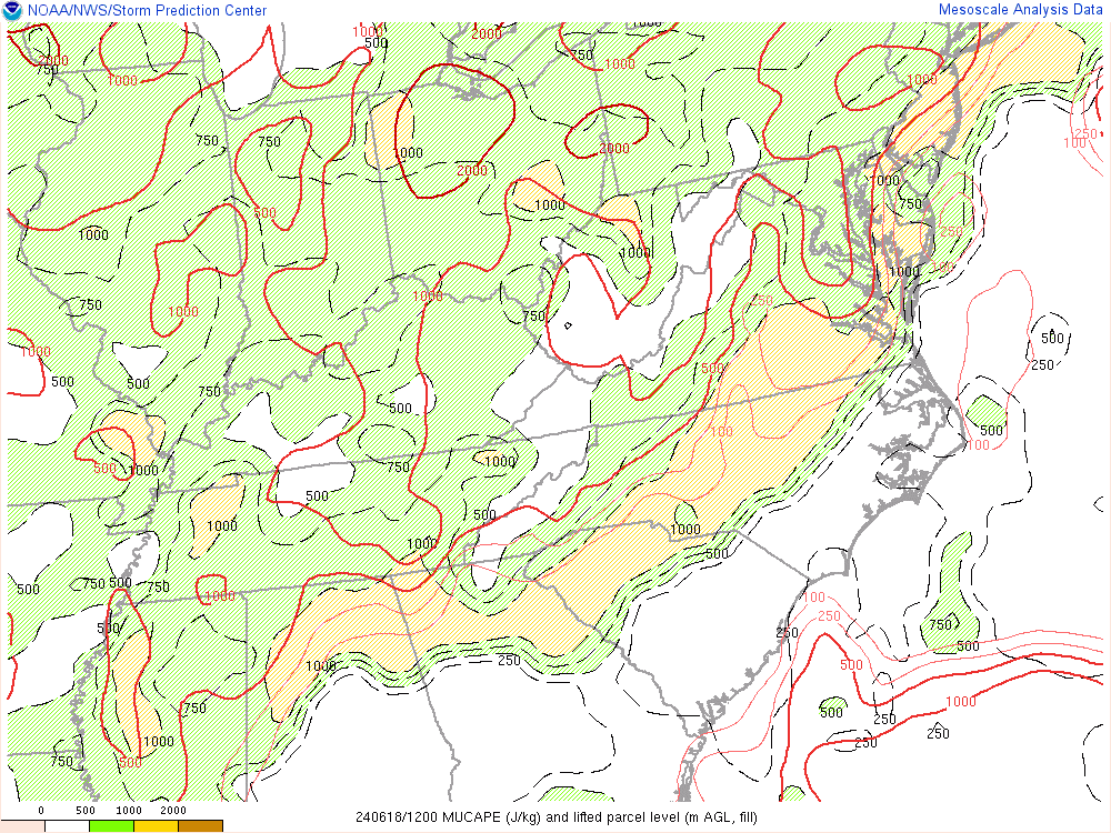
MU CAPE
|
|
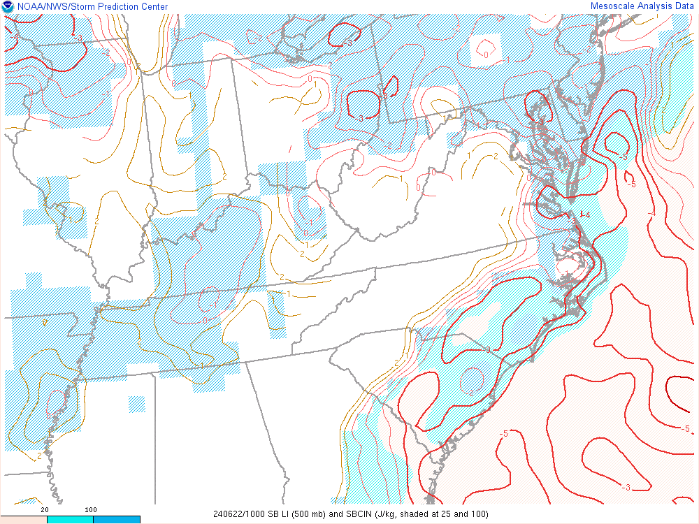
Lifted Index
|
Downdraft CAPE
|
Lapse Rate
|
|
LCL Height
|
LFC Height
|
Dewpoints/Lapse Rates
|
|
WIND AND WIND SHEAR PARAMETERS (Click on Graphic to Expand) |
|
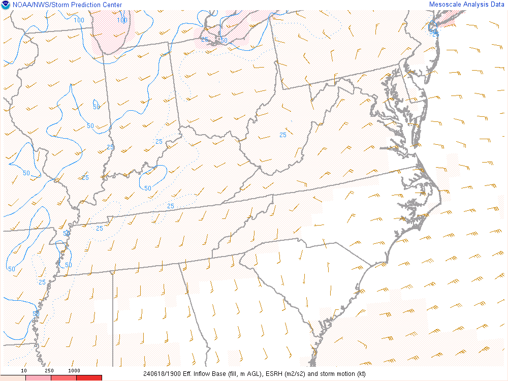
Effective Shear
|
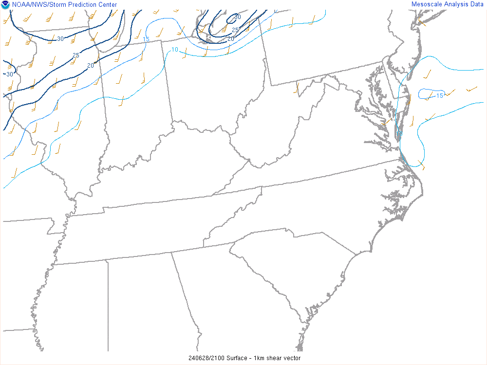
0-1 KM Shear
|
0-6 KM Shear
|
|
Effective SRH
|
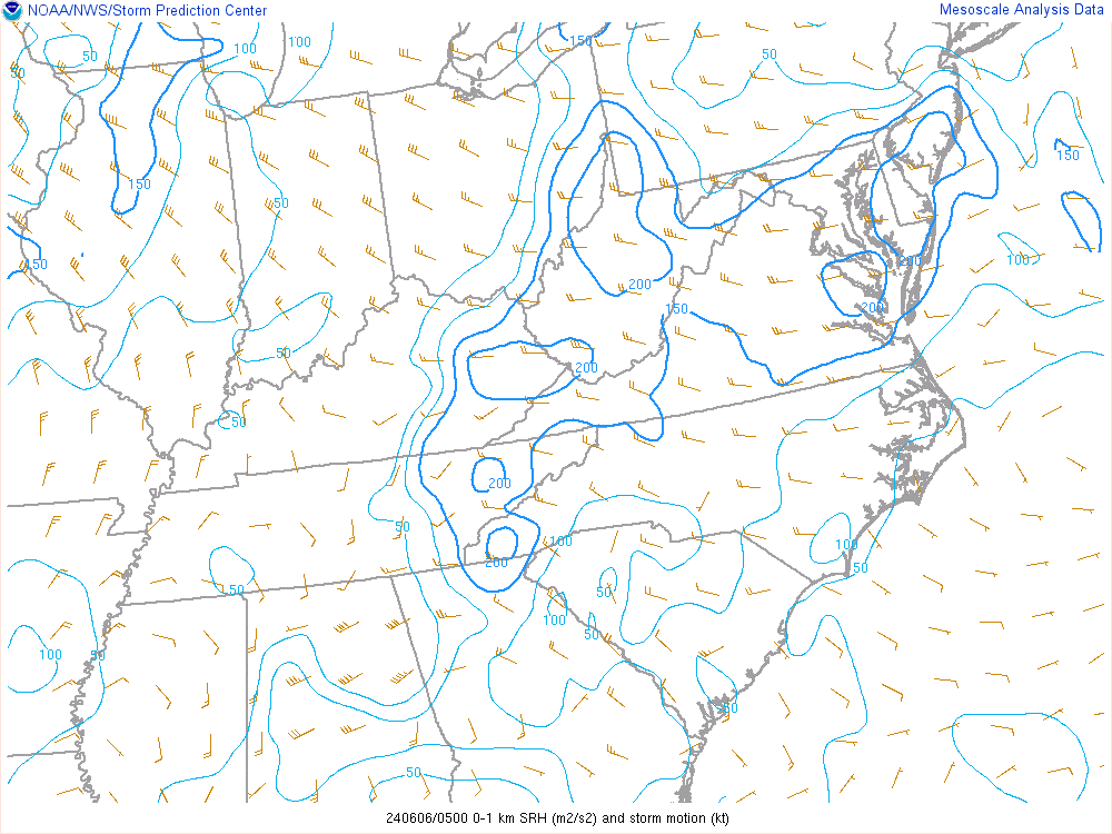
0-1 KM SRH
|
0-3 KM SRH
|
|
COMPOSITE INDICES (Click on Graphic to Expand) |
|
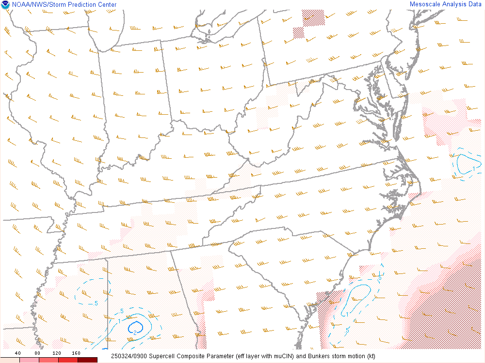
Supercell
|
Significant Tornado
|
Significant Hail
|
|
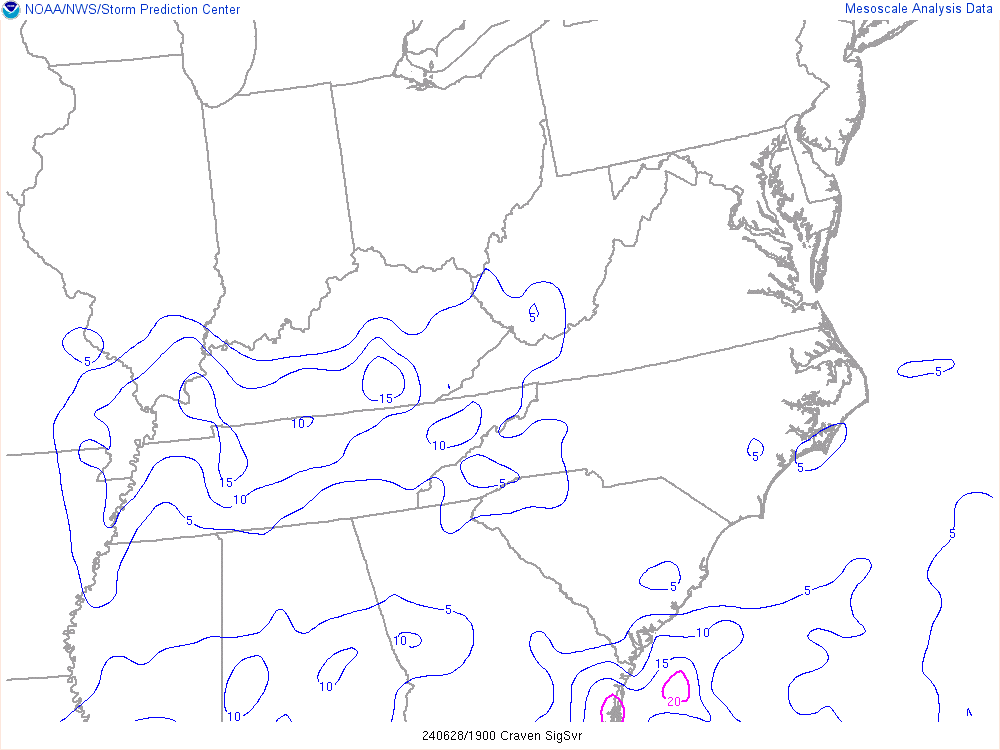
Craven Significant Severe
|
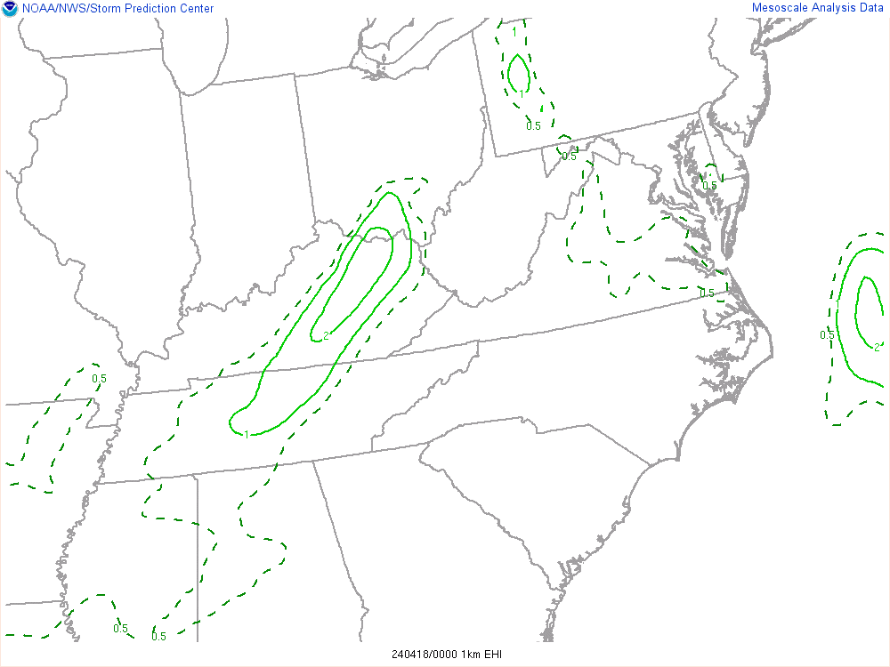
0-1 KM Energy Helicity Index
|
0-3 KM Energy Helicity Index
|


 Map View
 Weather Hazard Briefing (when applicable)
 Forecaster Discussion
 Marine
 Text Products
.png) Skywarn
Skywarn Submit Storm Reports
 Coastal Flood
.png) Surf Forecast/Rip Currents
Surf Forecast/Rip Currents