Milwaukee/Sullivan, WI
Weather Forecast Office
Overview
|
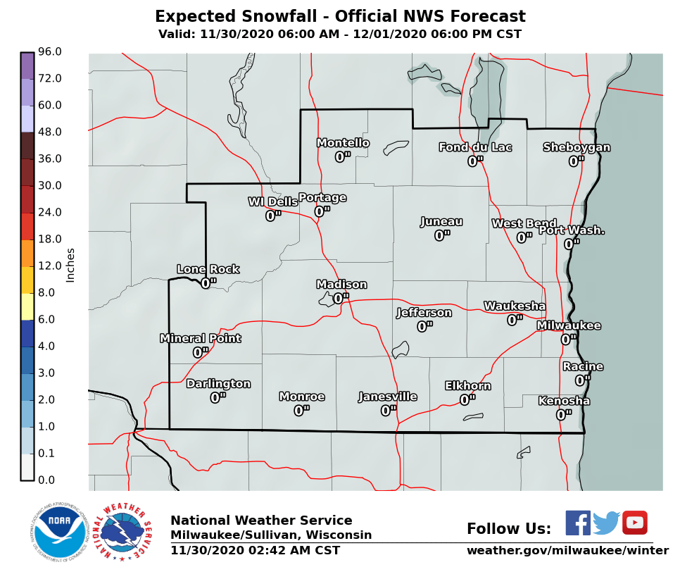
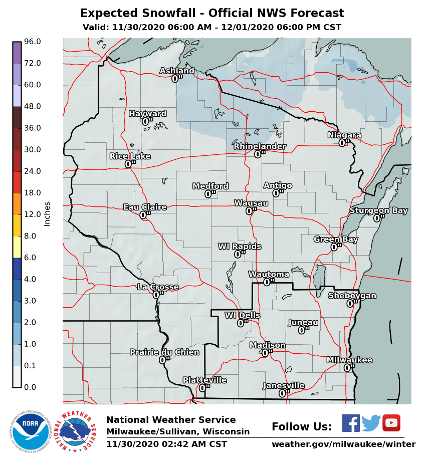
A potent low pressure system has moved off to the northeast while high pressure builds in from the west. The area between these two systems is where all the wind is located, ushering in a much colder air mass on brisk northwest winds. Any lingering snow will end by noon with clearing skies expected by late afternoon or early evening. Lows tonight will bottom out in the lower to mid 20s, and we may even see some teens for lows Sunday night into Monday morning. Highs today and Sunday will be in the lower to mid 30s with the brisk northwest winds becoming light by Sunday afternoon. |
| Storm Total Snow Accumulation Potential | ||
| Southern WI Snowfall | Wisconsin Snowfall | |
 |
 |
|
 |
Media use of NWS Web News Stories is encouraged! Please acknowledge the NWS as the source of any news information accessed from this site. |
|
Hazards
National Briefing
Hazardous Weather Outlook
Skywarn
View Local Storm Reports
Submit A Storm Report
Winter Weather
Summer Weather
Beach Hazards
Local Forecasts
Marine
Aviation
Fire
Local Text Products
Local Precip Forecast
Hourly Forecast Graphics
Forecast Discussion
Climate
Daily Climate Graphics
Local Climate Products
Normals/Records MKE/MSN
CoCoRaHS
Historic Events For Srn WI
Lightning Plot Archive
US Dept of Commerce
National Oceanic and Atmospheric Administration
National Weather Service
Milwaukee/Sullivan, WI
N3533 Hardscrabble Road
Dousman, WI 53118
262-965-2074
Comments? Questions? Please Contact Us.


