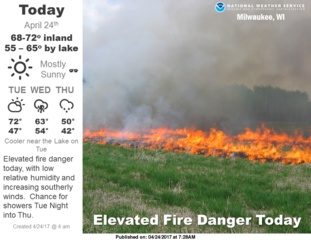
| Hot and humid conditions will linger today across portions of south central and southeast Wisconsin. There is a chance for additional thunderstorms today, some possibly strong, as a cold front moves east through the region.
Hot And Humid Conditions Expected Again Today
- Southwest winds ahead of an approaching cold front will bring hot and humid conditions into portions of south central and southeast Wisconsin today.
- The combination of temperatures in the upper 80s to lower 90s, and dew points in the 70s, will support heat index values of 95 to 103 degrees in the advisory area.
- This will be the fourth day in a row of 95+ heat indices in many places. Thus, the Heat Advisory continues for portions of south central and southeast Wisconsin through today.
Click the below image of current hazards to enlarge.​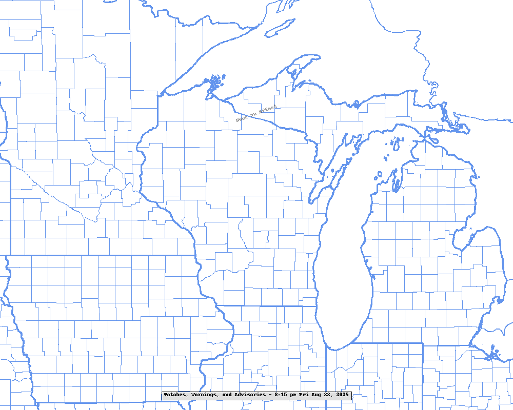
- Prepare for the hot and humid conditions! Drink plenty of water, take frequent breaks if outdoors, check on those more sensitive to heat. See our heat safety rules below.
Strong Storms Possible Ahead Of Cold Front Today
- A cold front is expected to push eastward across Wisconsin today, exiting far eastern Wisconsin by sunset. The best chances for storms will be across southeast Wisconsin this afternoon. There is some uncertainty over how widespread the storms may be as much will depend on how much clearing we get today.
- Very unstable conditions ahead of the front, combined with weak to modest wind shear aloft, may allow for some strong storms to develop.
- The Storm Prediction Center has a Marginal Risk of severe storms forecast for parts of southern Wisconsin. This means that an isolated severe storm is possible. See the map below.
- Damaging winds and large hail would be the main hazards, if any of the storms become strong.
Additional Information:
|
|
Submit Report
Hazardous Weather Outlook
Latest Weather Statement
Latest Storm Reports

Weather Story

Local Radar Loop

Regional Radar Loop - West View

Regional Radar Loop - East View
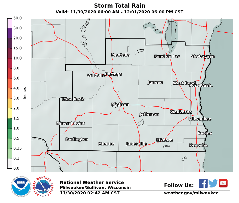
3 Day Rainfall Forecast - S. WI
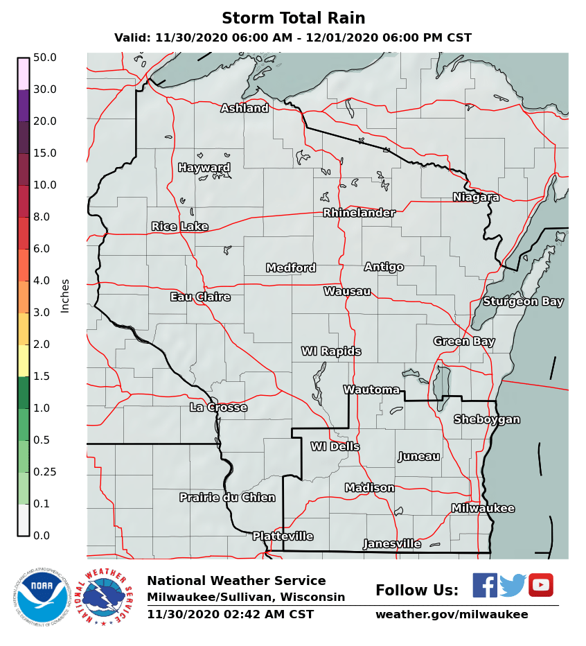
3 Day Rainfall Forecast - WI
|
