
Wildfire smoke continues to impact air quality from the Great Lakes region into New England and the Mid-Atlantic today with widespread Air Quality Alerts in effect. Severe thunderstorms are expected across portions of the Ohio Valley and Lower Great Lakes into the Mid-Atlantic and Northeast, this afternoon into the evening. Monsoonal thunderstorms may bring areas of flooding to the Southwest. Read More >
...Severe Storms Possible this Afternoon and Evening...
Severe thunderstorms are possible this afternoon and evening, along and ahead of a trough of low pressure.
Main Hazards:
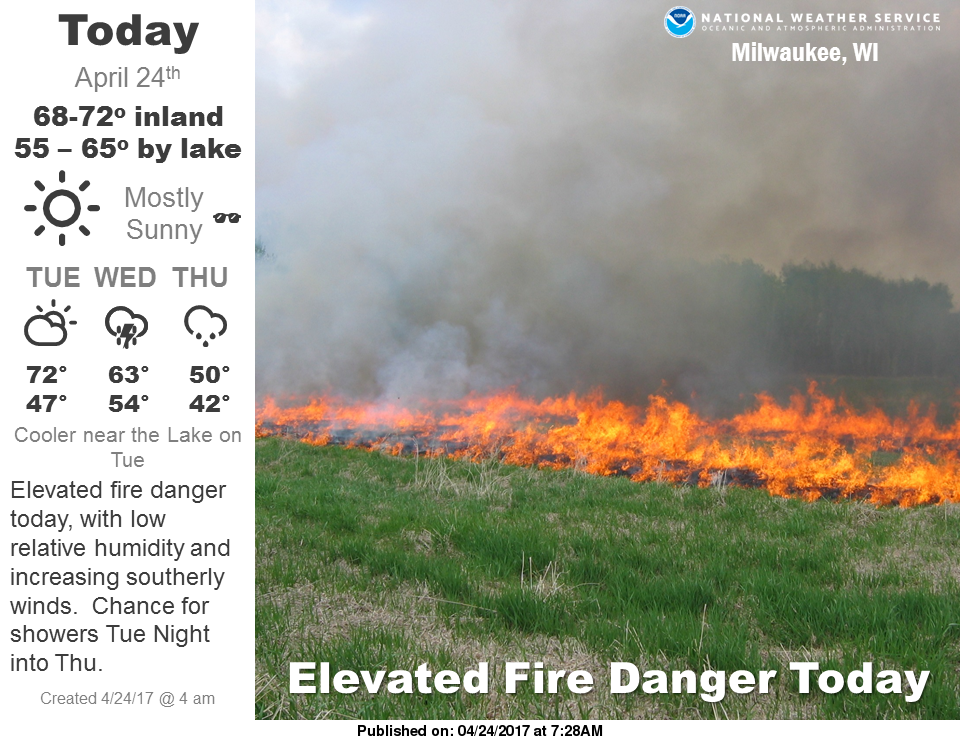
Breezy south winds will bring warm and humid air into the region today. This should lead to unstable conditions across southern Wisconsin. Clouds and precipitation from the west may affect the amount on instability avialable for convection.
However, strong wind shear will be in place across the region, both through a deep layer of the atmosphere, and in the low levels of the atmosphere.
A strong low pressure system will move northeast into Minnesota Sunday, which will help bring a trough of low pressure into the area during the afternoon and evening. This will set the stage for possible severe storms.
Large hail, damaging winds and isolated tornadoes are all possible. Check back to this page for the latest information regarding today's severe weather potential.
If you get severe weather, send us your report! Key elements: Time - Location - Type of severe weather/damage, etc
Weather Story:
Short term - Watches and Mesoscale Discussions:
|
Current Watches |
Latest Mesoscale Discussions |
Current Headlines:

Day 1 Convective Outlook (Today and Tonight): (Key to interpreting categories/colors)

Regional Radar Views:
 |
 |
Local Radar:

Expected Rainfall Amounts:
 |
 |
Links of interest:
Local Storm Report Graphic
Local Storm Report Text
SPC Local Storm Reports
Submit a Storm Report
Hazardous Weather Outlook
Forecast Discussion
Severe Thunderstorm Warnings
Tornado Warnings
Flash Flood Warnings
Severe Weather Statements
SPC Meso-Analysis Page
Our Severe Weather Page
Wood/Schultz
NWS Milwaukee/Sullivan, WI


