Very warm and humid conditions are in place across southern Wisconsin this afternoon. Heat index values are in the 90 to 95 range. The heat and humidity are fueling the chance for severe thunderstorms in the area this evening. The chance of storms will continue until a cold front tracks across southern Wisconsin through late evening. A severe thunderstorm watch is in effect for all of southern Wisconsin until Midnight.
Here is a look at the latest Local and Regional radars:
| Local Radar |
Regional Radar -
West View |
Regional Radar -
East View |
 |
 |
 |
Very Warm and Humid Today
- Very warm and humid conditions into south central and southeast Wisconsin today.
- High temperatures in the upper 80s to lower 90s.
- Heat index values in the lower to middle 90s.
- See Heat Safety Rules for tips on how to stay cool during the heat.
- See the Heat Index chart below:

Severe Thunderstorm Watch in Effect until Midnight
- A cold front will slide east across the region tonight. Broken lines of showers and thunderstorms are expected ahead of the front through late evening.
- Strong instability and modest wind shear aloft will help bring the possibility of severe storms to parts of south central Wisconsin through Midnight.
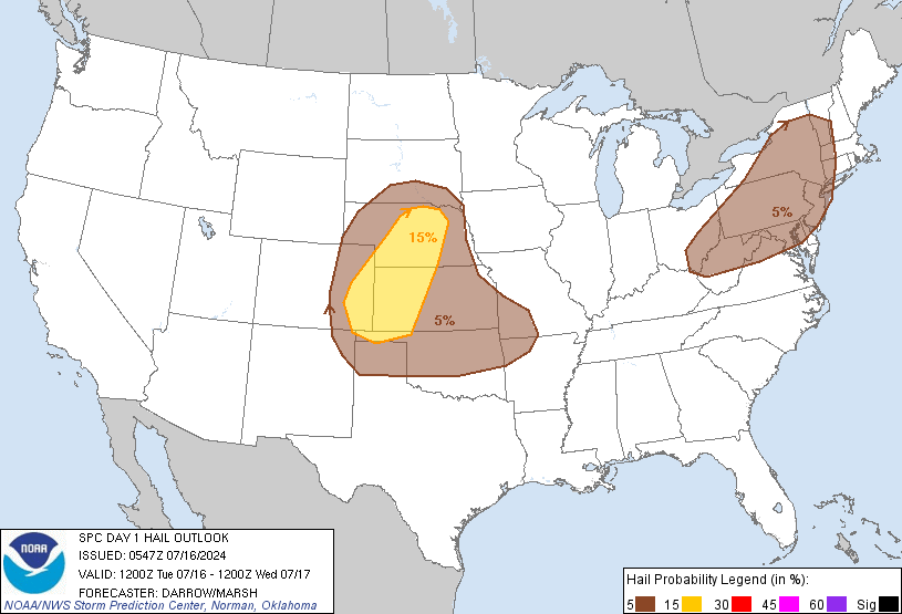
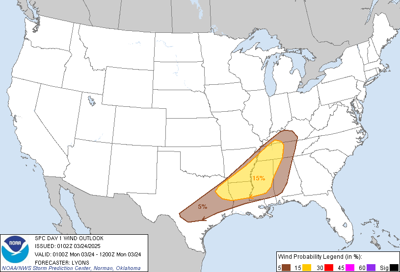
- Damaging winds and heavy rainfall are the main hazards. Some hail is possible as well.
- The Slight Risk for severe storms is along and west of a Port Washington to Janesville line. This includes Madison and Wisconsin Dells. There is a Marginal Risk for severe storms elsewhere over the area.
Here are images of the Storm Prediction Center's Day 1 Convective Outlook:
| Day 1 Outlook |
Tornado |
Hail |
Wind |
 |
 |
 |
 |
|
|
Submit Report
Hazardous Weather Outlook
Latest Storm Reports
Special Weather Statement

Weather Story

Local Radar
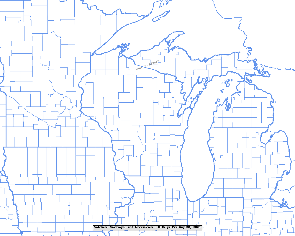
Latest Watches, Warnings and Advisories Across The Region
|
