Gusty winds are expected from portions of the Mid-Atlantic into the Northeast through the night following the system that brought rain to the area. An atmospheric river will move into the Northwest late today into Saturday bringing moderate to heavy rainfall, mountain snow, windy conditions, and high surf to the area over the weekend. Read More >
Milwaukee/Sullivan, WI
Weather Forecast Office
|
Severe Thunderstorms Possible This Afternoon Thunderstorms will impact southern Wisconsin this afternoon. Some of these storms may become severe, with damaging wind and large hail as the primary threats. An isolated tornado is also possible. The best chance for thunderstorms is from roughly 2 to 7 PM today. There is a severe thunderstorm watch in effect for the areas in yellow until 10 PM. This includes Darlington, Madison, Beaver Dam, Port Washington, Milwaukee and points south to the state line, including Janesville, Racine, and Kenosha.
Here is the current radar:
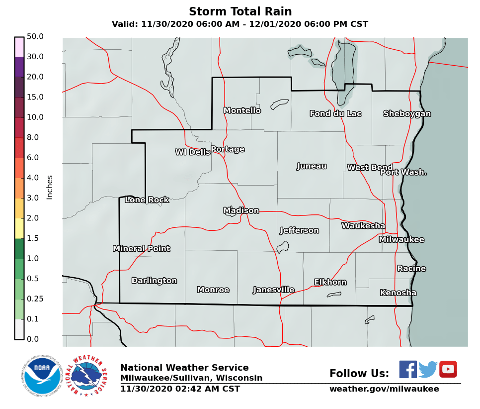
Additional rainfall amounts should range from around 0.5 inches in northern and southeast Wisconsin, to less than 0.1 inches elsewhere. Keep in mind that locally heavier amounts are possible with any thunderstorms. Here is the statewide rain forecast:
Here is the southern Wisconsin rain forecast:
SPM/PC |
|
Hazards
National Briefing
Hazardous Weather Outlook
Skywarn
View Local Storm Reports
Submit A Storm Report
Winter Weather
Summer Weather
Beach Hazards
Local Forecasts
Marine
Aviation
Fire
Local Text Products
Local Precip Forecast
Hourly Forecast Graphics
Forecast Discussion
Climate
Local Climate Products
Normals/Records MKE/MSN
CoCoRaHS
Historic Events For Srn WI
Lightning Plot Archive
Daily Climate Graphics
US Dept of Commerce
National Oceanic and Atmospheric Administration
National Weather Service
Milwaukee/Sullivan, WI
N3533 Hardscrabble Road
Dousman, WI 53118
262-965-2074
Comments? Questions? Please Contact Us.