Dangerous heat expands across the Desert Southwest, Plains, Mississippi Valley and Midwest. Critical fire weather for portions of the Intermountain West. Risk for severe thunderstorms and flash flooding across the Upper Midwest/Great Lakes, Ohio Valley, and portions of the mid-Atlantic. Active monsoonal moisture fuels thunderstorms over the Southwest. Hurricane Fausto in the Pacific, should weaken Read More >
Milwaukee/Sullivan, WI
Weather Forecast Office
A Wind Chill Advisory is in effect into Monday morning, as the combination of very cold temperatures and brisk west to northwest winds will produce wind chills of 20 below to 30 below zero. More information about wind chills is here.
Here is a map of the latest Wind Chill Advisories and Warnings, and other winter headlines, across the region:

Here is a wind chill chart, showing the effects of exposure:

Temperatures early this week will be 15 to 25 degrees below average.
Are you prepared for the colder weather? Be sure to dress in layers and cover exposed skin if you plan to venture outside. More winter weather safety tips are here.
Here are the forecast temperatures and wind chills:
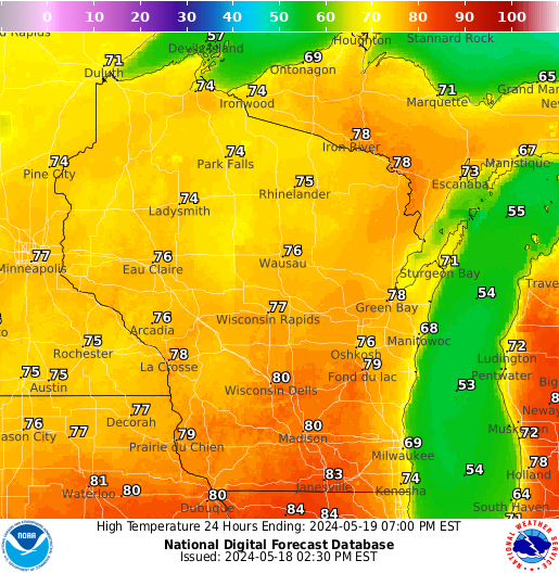
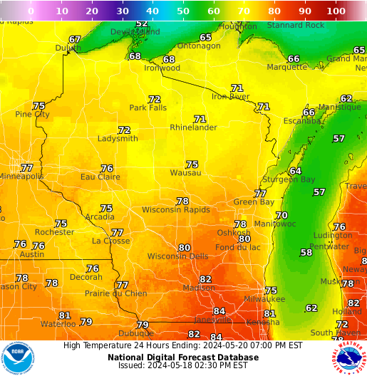
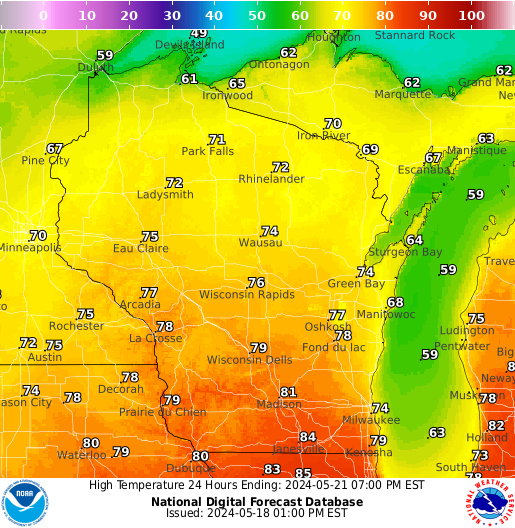
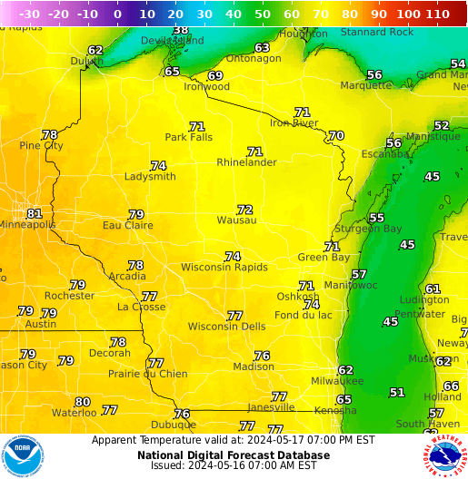
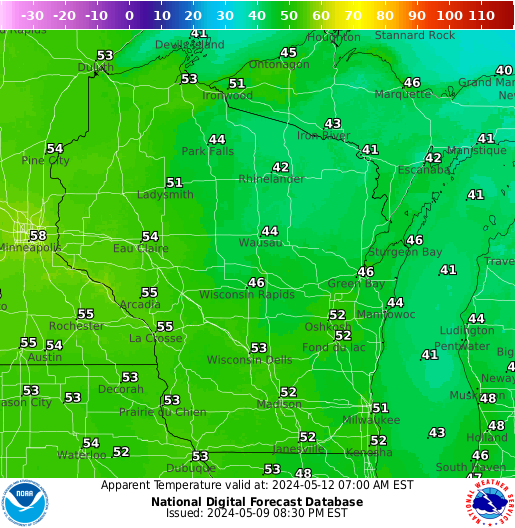
High Temperatures:
|
Monday |
Tuesday |
Wednesday |
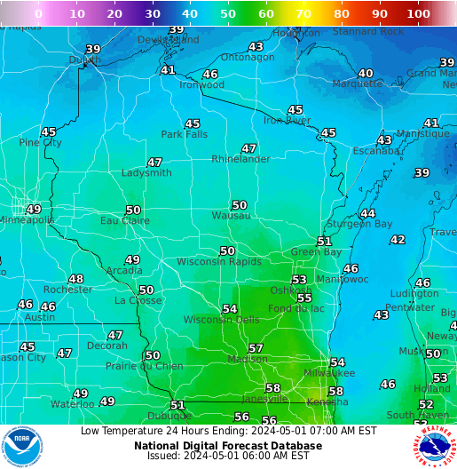
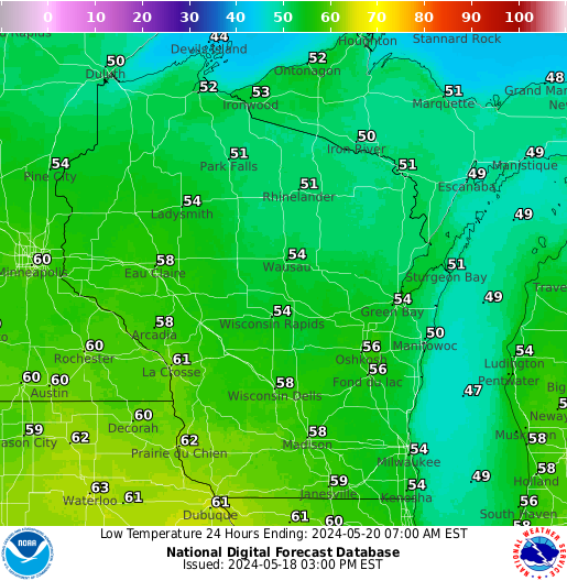
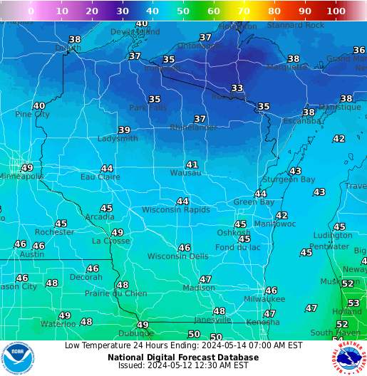
Low Temperatures:
|
Monday Morning |
Tuesday Morning |
Wednesday Morning |
Morning wind chills through Tuesday morning:
|
Monday Morning |
Tuesday Morning |
Wednesday Morning |
SPM/REM/Wood/BSH
NWS Milwaukee/Sullivan, WI
Hazards
National Briefing
Hazardous Weather Outlook
Skywarn
View Local Storm Reports
Submit A Storm Report
Winter Weather
Summer Weather
Beach Hazards
Local Forecasts
Marine
Aviation
Fire
Local Text Products
Local Precip Forecast
Hourly Forecast Graphics
Forecast Discussion
Climate
Historic Events For Srn WI
Lightning Plot Archive
Daily Climate Graphics
Local Climate Products
Normals/Records MKE/MSN
CoCoRaHS
US Dept of Commerce
National Oceanic and Atmospheric Administration
National Weather Service
Milwaukee/Sullivan, WI
N3533 Hardscrabble Road
Dousman, WI 53118
262-965-2074
Comments? Questions? Please Contact Us.