
Hot temperatures and high humidity are forecast to continue across the mid-Mississippi Valley into this weekend. Heat Advisories remain in effect. Heavy to excessive rainfall occurring at times through the weekend could bring areas of flooding to parts of the northern Rockies, upper Midwest, central Great Lakes, and southern New England. Read More >
Milwaukee/Sullivan, WI
Weather Forecast Office
Overview
|
Severe thunderstorms affected portions of southern Wisconsin Thursday evening. A brief tornado occurred in the Village of Deerfield between 3:47 PM and 3:51 PM. |
 Radar Loop |
Tornadoes:
|
Tornado #1 - Deerfield, WI
Track Map 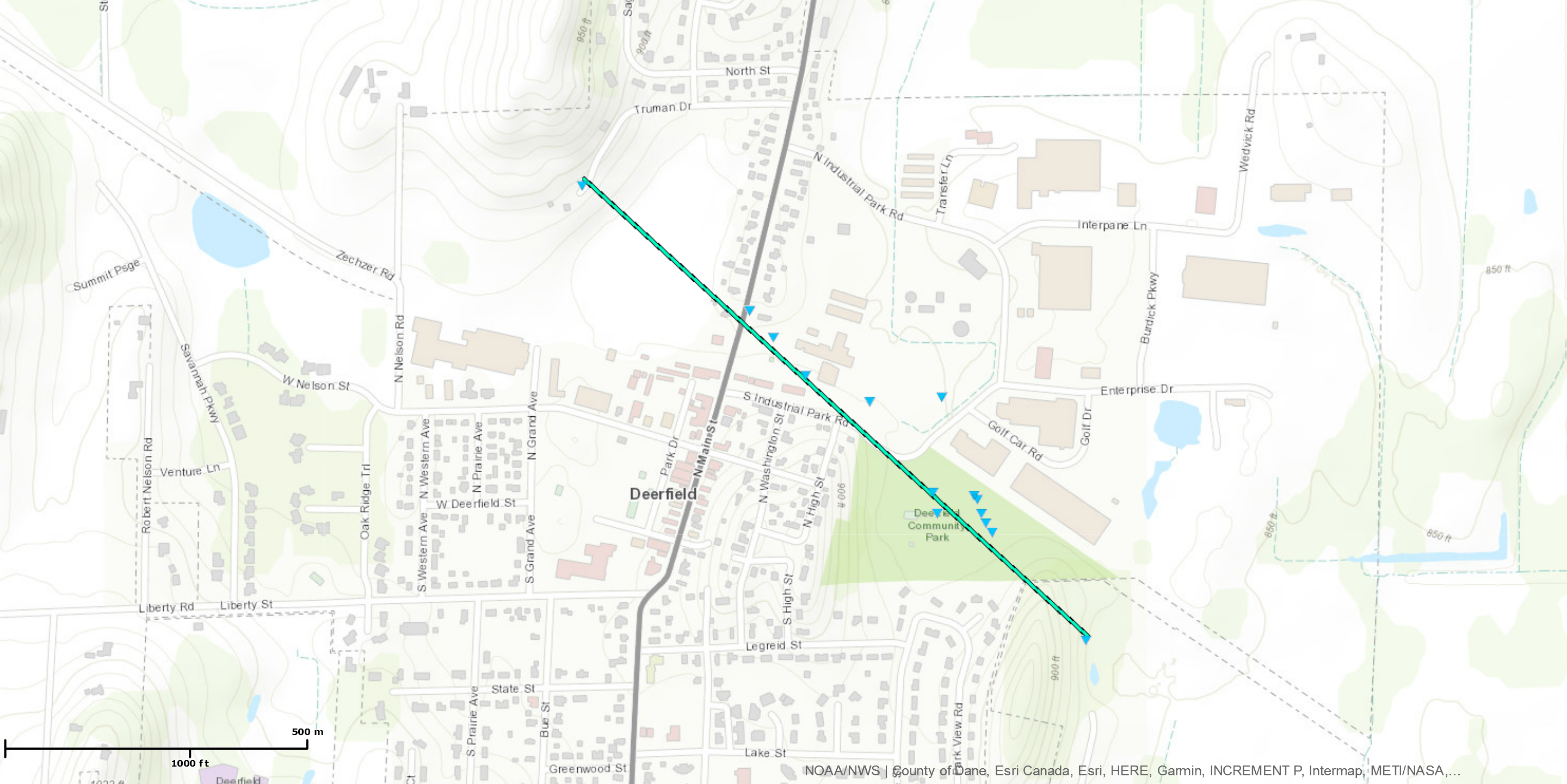 
|
||||||||||||||||
 |
 |
 |
 |
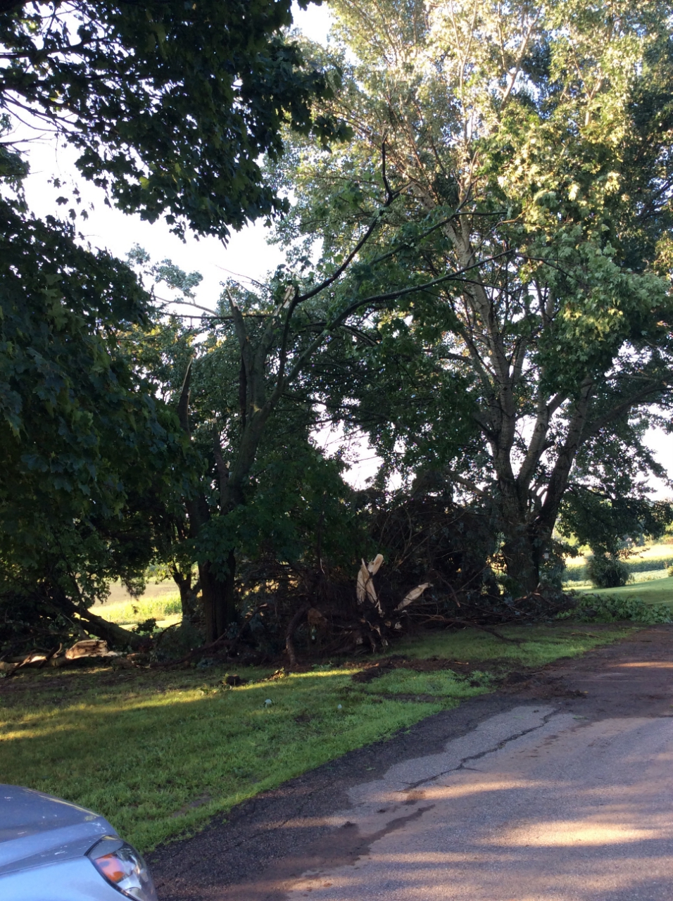
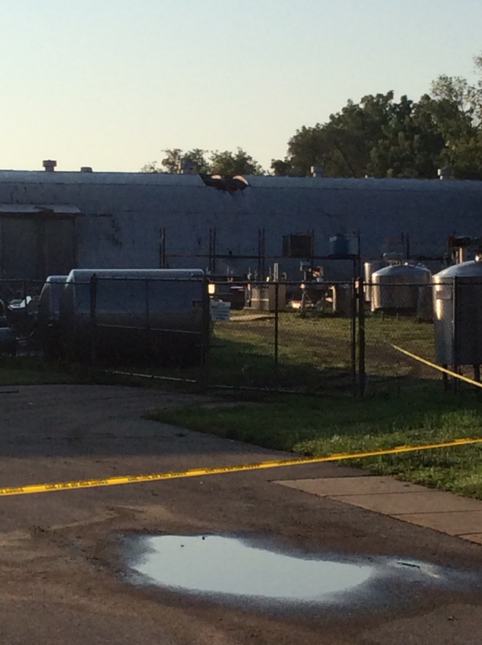
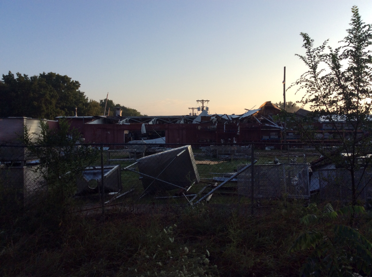
| Uprooted Tree | Roof Damage | Roof Damage | Insulation Blown in Fence |
The Enhanced Fujita (EF) Scale classifies tornadoes into the following categories:
| EF0 Weak 65-85 mph |
EF1 Moderate 86-110 mph |
EF2 Significant 111-135 mph |
EF3 Severe 136-165 mph |
EF4 Extreme 166-200 mph |
EF5 Catastrophic 200+ mph |
 |
|||||
 |
Media use of NWS Web News Stories is encouraged! Please acknowledge the NWS as the source of any news information accessed from this site. |
|
Hazards
National Briefing
Hazardous Weather Outlook
Skywarn
View Local Storm Reports
Submit A Storm Report
Winter Weather
Summer Weather
Beach Hazards
Local Forecasts
Marine
Aviation
Fire
Local Text Products
Local Precip Forecast
Hourly Forecast Graphics
Forecast Discussion
Climate
Historic Events For Srn WI
Lightning Plot Archive
Daily Climate Graphics
Local Climate Products
Normals/Records MKE/MSN
CoCoRaHS

US Dept of Commerce
National Oceanic and Atmospheric Administration
National Weather Service
Milwaukee/Sullivan, WI
N3533 Hardscrabble Road
Dousman, WI 53118
262-965-2074
Comments? Questions? Please Contact Us.


 Follow us on X
 Follow us on Facebook
 Follow us on YouTube
 MKX RSS Feed