
Heat expands across the Desert Southwest, Plains, Mississippi Valley and Midwest into Monday. Fire weather concerns continue for portions of the Intermountain West. Active monsoonal moisture fuels thunderstorms over the Southwest with possible flash flooding. Tropical cyclone Fausto in the Pacific, should weaken as it approaches Hawaii; Dangerous surf, swells and rip currents are expected. Read More >
Milwaukee/Sullivan, WI
Weather Forecast Office
Beneficial Rainfall Hit Southern Wisconsin!
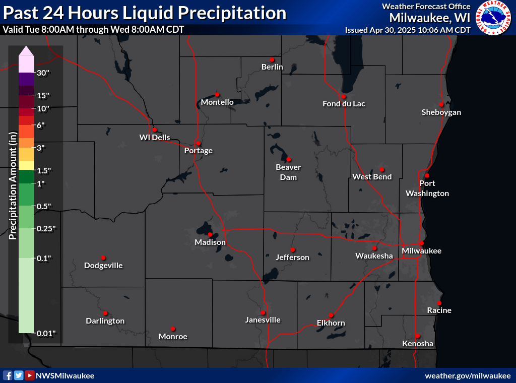
Rainfall across southern Wisconsin ranged from around 1/2 inch over far eastern Racine and Kenosha counties, to 1 to 3 inches over the remainder of the area on Thursday and Thursday night. See the various maps below for details. These maps are created using a limited dataset of precip reports with lots of smoothing to give an overall picture of how much and where the rainfall occured. Your individual reports will likely vary from what the map shows. The heaviest rainfall happened over southern Lafayette and Green counties where up to 4 to 5 inches of rain was reported.
Rainfall maps from 7am June 11th through 7 am June 12th. They are available [ here ]
Southern Wisconsin:
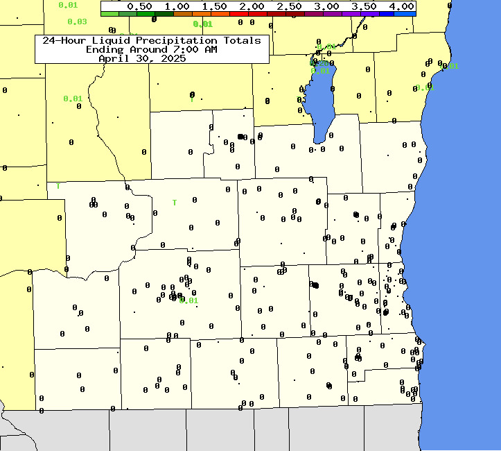
All of Wisconsin (click to enlarge):

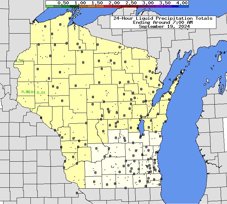
A regional view of the rainfall over that 24 hour period:

Here's a text listing of yesterday's rainfall.
Davis
Hazards
National Briefing
Hazardous Weather Outlook
Skywarn
View Local Storm Reports
Submit A Storm Report
Winter Weather
Summer Weather
Beach Hazards
Local Forecasts
Marine
Aviation
Fire
Local Text Products
Local Precip Forecast
Hourly Forecast Graphics
Forecast Discussion
Climate
Local Climate Products
Normals/Records MKE/MSN
CoCoRaHS
Historic Events For Srn WI
Lightning Plot Archive
Daily Climate Graphics

US Dept of Commerce
National Oceanic and Atmospheric Administration
National Weather Service
Milwaukee/Sullivan, WI
N3533 Hardscrabble Road
Dousman, WI 53118
262-965-2074
Comments? Questions? Please Contact Us.


 Follow us on X
 Follow us on Facebook
 Follow us on YouTube
 MKX RSS Feed