Severe thunderstorms which can bring large hail, damaging winds, and isolated tornadoes will be possible over parts of the central U.S. through this weekend. Thunderstorms with heavy to excessive rainfall moving from Texas into the mid-Mississippi Valley through this weekend may produce areas of flooding. Read More >
Milwaukee/Sullivan, WI
Weather Forecast Office
Weak high pressure moving through the region should bring a warm and dry Memorial Day to south central and southeast Wisconsin. Small chances for storms return Monday night, with chances increasing Tuesday into Wednesday, as a warm front and cold front move through the region.
The Storm Prediction Center has included most of Wisconsin in just general thunderstorms for Monday night and Tuesday/Tuesday night, with no severe weather expected.
See the images below for the latest severe weather outlooks into early next week:
| Day 1 Outlook: Rest Of Tonight | Day 2 Outlook: Mon/Mon Night |
 |
 |
| Day 3 Outlook: Tue/Tue Night | Days 4-8 Outlook: Wed-Sun |
 |
 |
Here are the latest radar animations across southern Wisconsin and the region:
| Local Radar | Regional Radar - West View | Regional Radar - East View |
 |
 |
 |
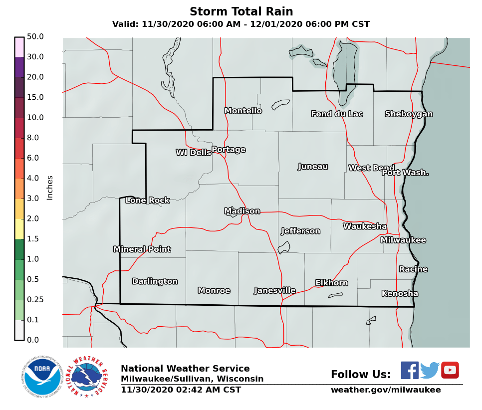
Here is an estimate of the rainfall expected across the region through Friday. At this time, between 1 and 2 inches of beneficial rainfall is forecast for south central and southeast Wisconsin:

Here are local and statewide looks at expected rainfall amounts through Wednesday:
Of course, total rainfall will vary considerably across the area, depending on where the showers and thunderstorms track.
Kavinsky/Davis/Gehring/Miller/Wood/Schultz
National Weather Service - Milwaukee/Sullivan, WI
Hazards
National Briefing
Hazardous Weather Outlook
Skywarn
View Local Storm Reports
Submit A Storm Report
Winter Weather
Summer Weather
Beach Hazards
Local Forecasts
Marine
Aviation
Fire
Local Text Products
Local Precip Forecast
Hourly Forecast Graphics
Forecast Discussion
Climate
CoCoRaHS
Historic Events For Srn WI
Lightning Plot Archive
Daily Climate Graphics
Local Climate Products
Normals/Records MKE/MSN
US Dept of Commerce
National Oceanic and Atmospheric Administration
National Weather Service
Milwaukee/Sullivan, WI
N3533 Hardscrabble Road
Dousman, WI 53118
262-965-2074
Comments? Questions? Please Contact Us.