Click here for more information on the potential severe weather.
Click here to submit a storm report to us.
Click here for the latest Weather Story.
An initial round of rain and isolated thunderstorms will move through the region early this afternoon. No severe weather is expected with this round of rain though some locally dense fog is possible, particularly near Lake Michigan. After a brief break, there will be a second round of showers and thunderstorms that develops late this afternoon into the early evening hours. There is a small risk for severe weather with these storms, mainly for damaging winds. These storms should be over by 10pm as a cold front sweeps through and brings strong westerly winds into the region.
Here are the latest local radar and regional radar animations:
| Local Radar | Regional Radar - West View |
Regional Radar - East View |
 |
 |
 |
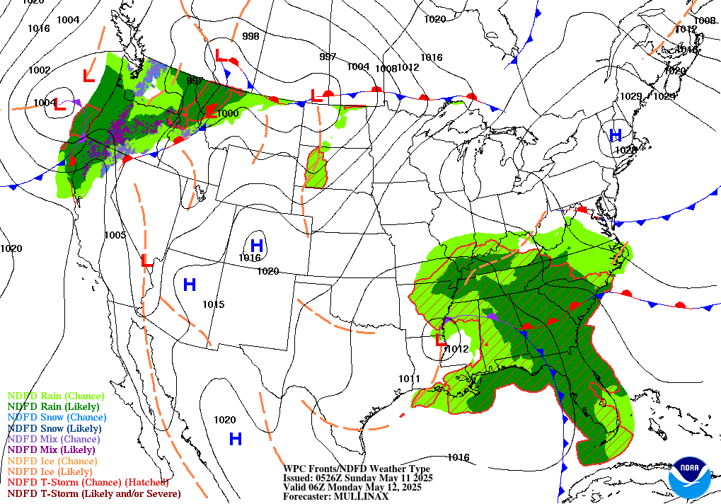
Here are maps showing the strong cold front moving through the region, from the Weather Prediction Center:
| Noon Today | 6 PM This Evening | Midnight Tonight |
 |
 |
 |
This will combine with strong winds aloft to bring chances for thunderstorms this afternoon and evening, along and ahead of the advancing strong cold front. Just enough instability will be present, with the strong wind shear aloft, to bring the possibility for strong to severe storms.
The Storm Prediction Center has forecast a Slight Risk for severe thunderstorms across far southern Wisconsin, and to the south, for this afternoon and evening. There is also a Marginal Risk for severe storms across the rest of south central and southeast Wisconsin during this time.
Here is the Day 1 Convective Outlook from the Storm Prediction Center, including the probabilities for tornadoes and damaging winds:
| Day 1 Outlook | Tornado Outlook | Damaging Wind Outlook |
 |
 |
 |
 |
 |
The main hazard will be damaging straight line winds, though an isolated tornado cannot be ruled out, especially in the Slight Risk area. The main time window will be between 4 PM and 10 PM this afternoon and evening, as the strong cold front moves through the area.
It is unusual to have severe weather this time of year, so keep with the latest forecasts and any potential watches and warnings later today into this evening.
In addition, strong west to southwest winds are expected along and behind the strong cold frontal passage this evening and overnight. Sustained west to southwest winds to 30 MPH are expected, with gusts of 45 to 50 MPH. A Wind Advisory is in effect from 8 PM this evening until 6 AM Thursday for most of south central and southeast Wisconsin.
See the map below for the latest hazards across the region:

Click here for the latest Hazardous Weather Outlook.
Click here for the latest Enhanced Hazardous Weather Outlook graphics.
Click here to submit a storm report to us.
Wood/Halbach
NWS Milwaukee/Sullivan, WI

