Upper Michigan Lightning Climatology |
||||||||||||
| Monthly | Hourly | Seasonal | ||||||||||
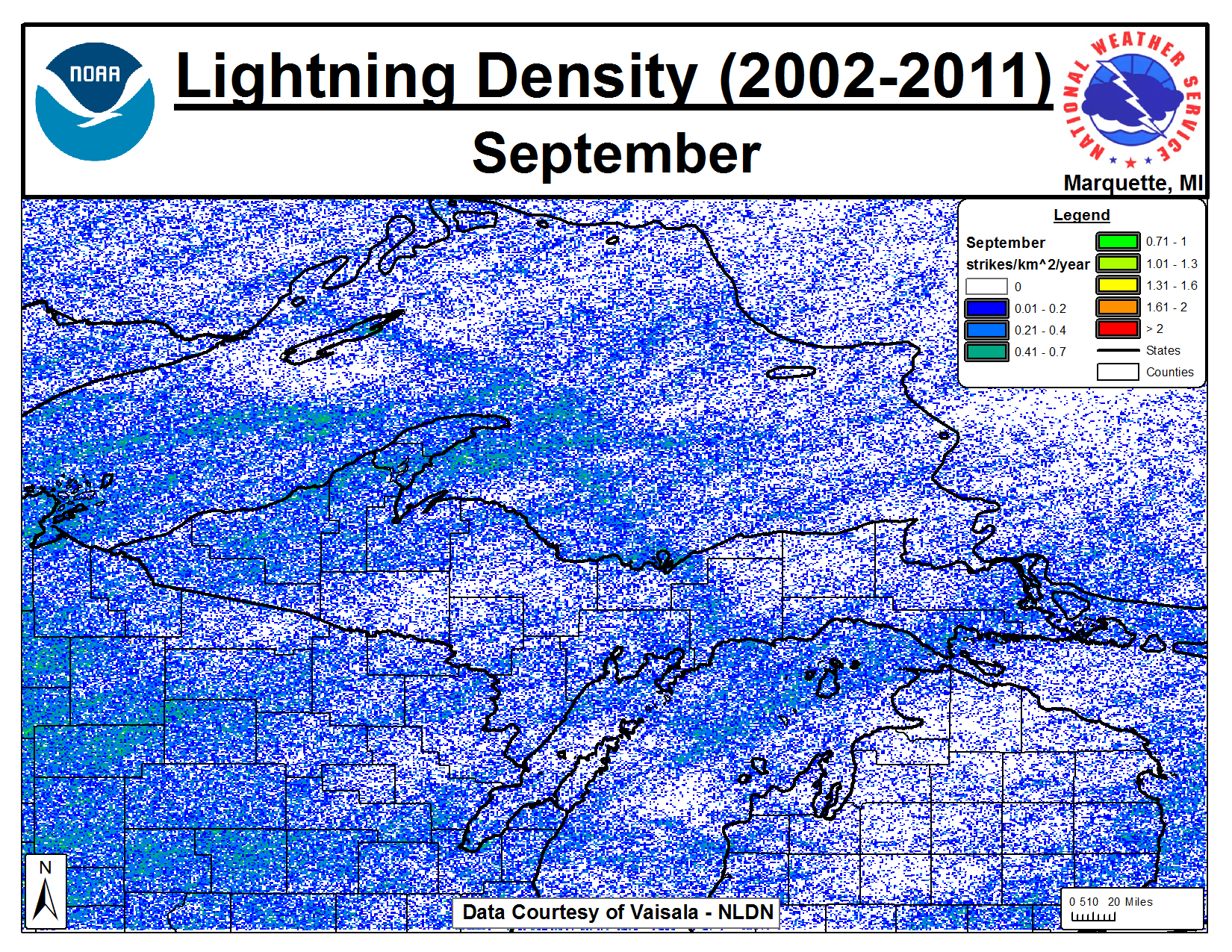
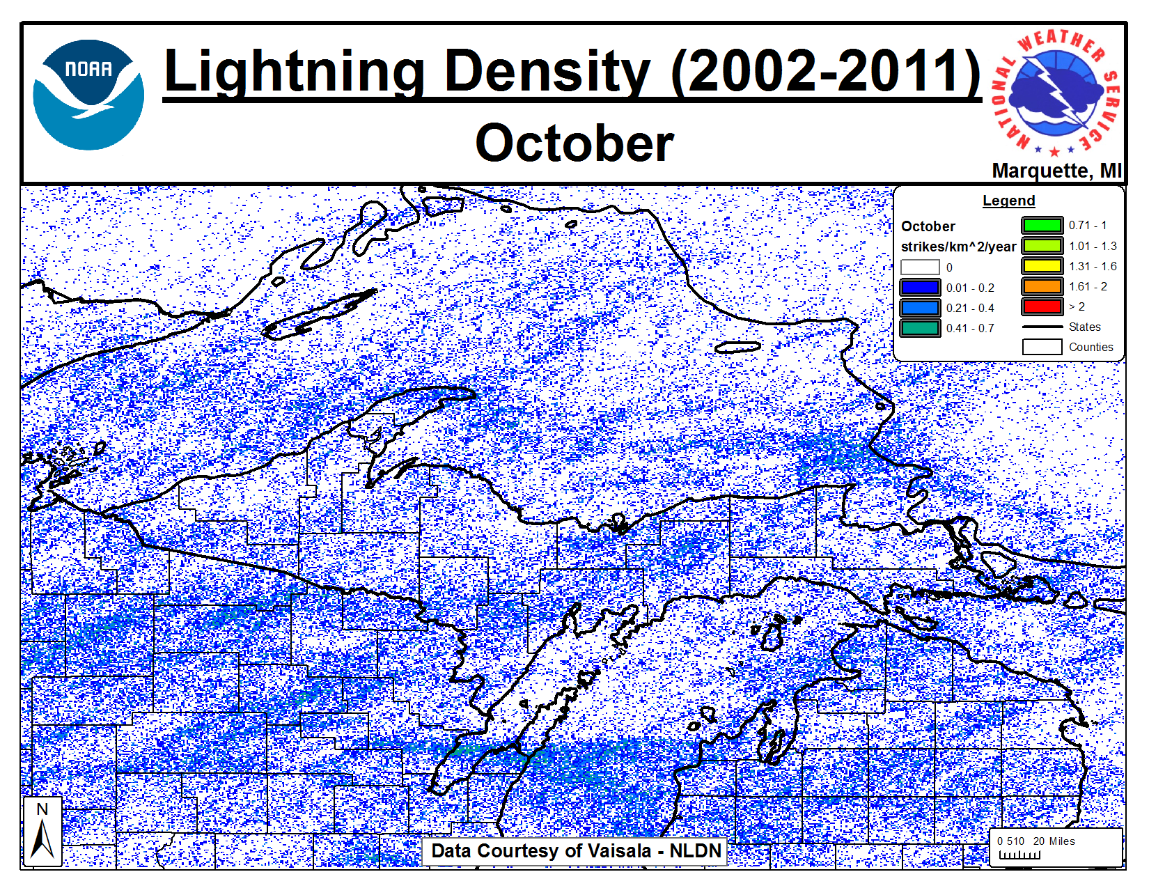
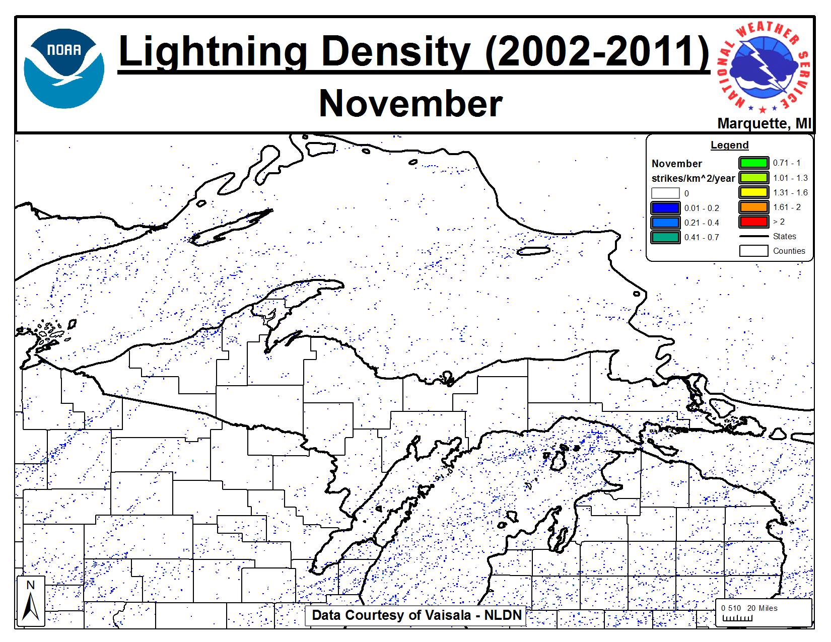
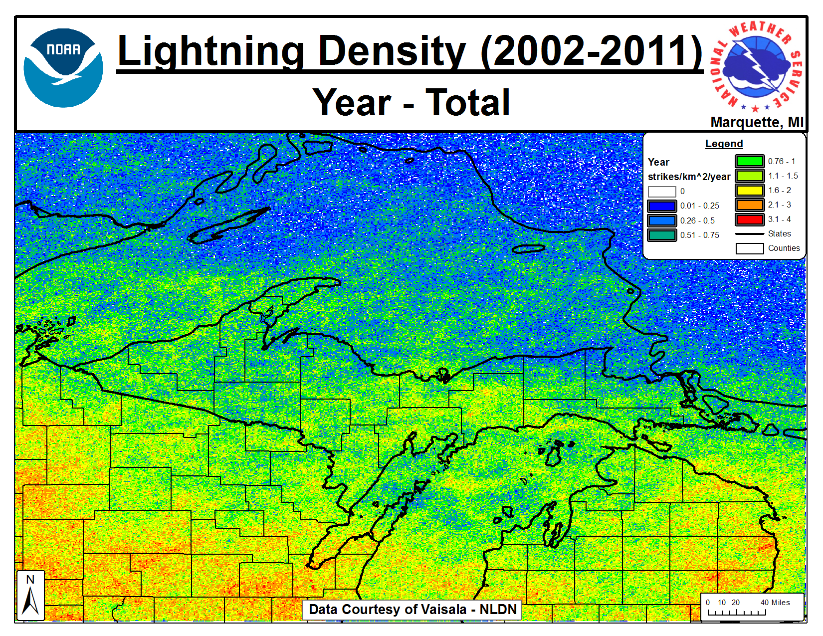
| Year | January | February | March | April | May | June | July | August | September | October | November | December |
 |
| Lighting data is courtesy of Vaisala and the National Lightning Detection Network (NLDN). |
|
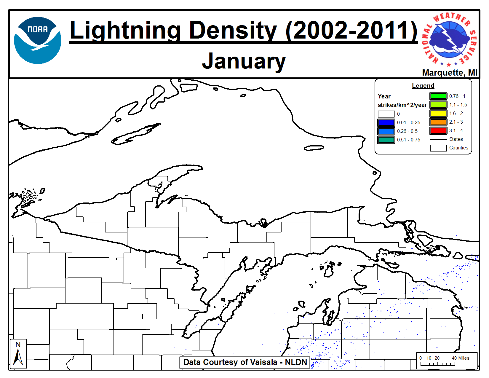
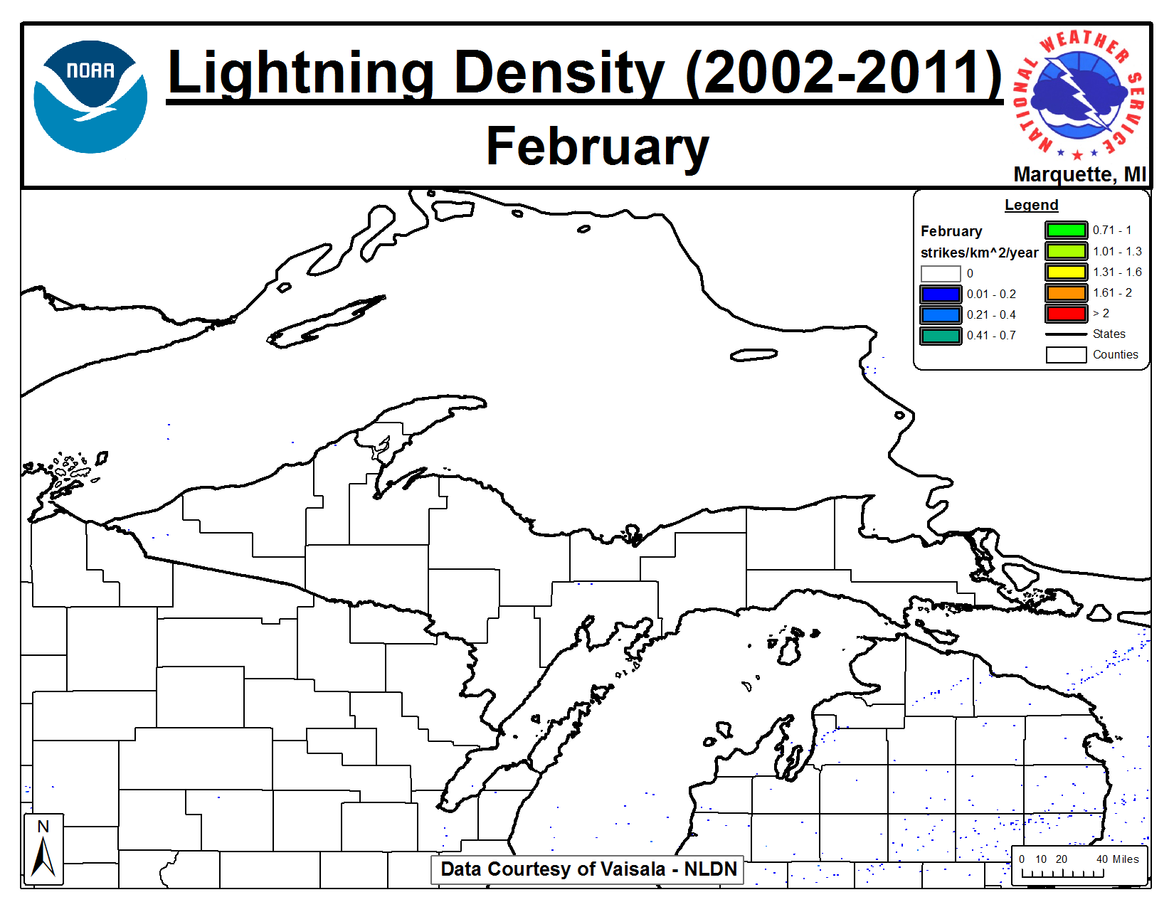
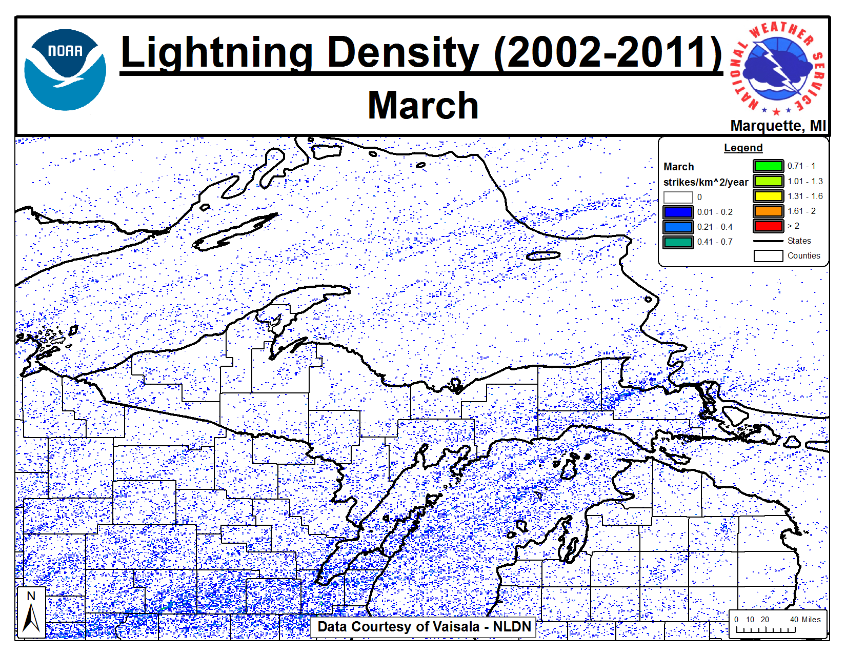
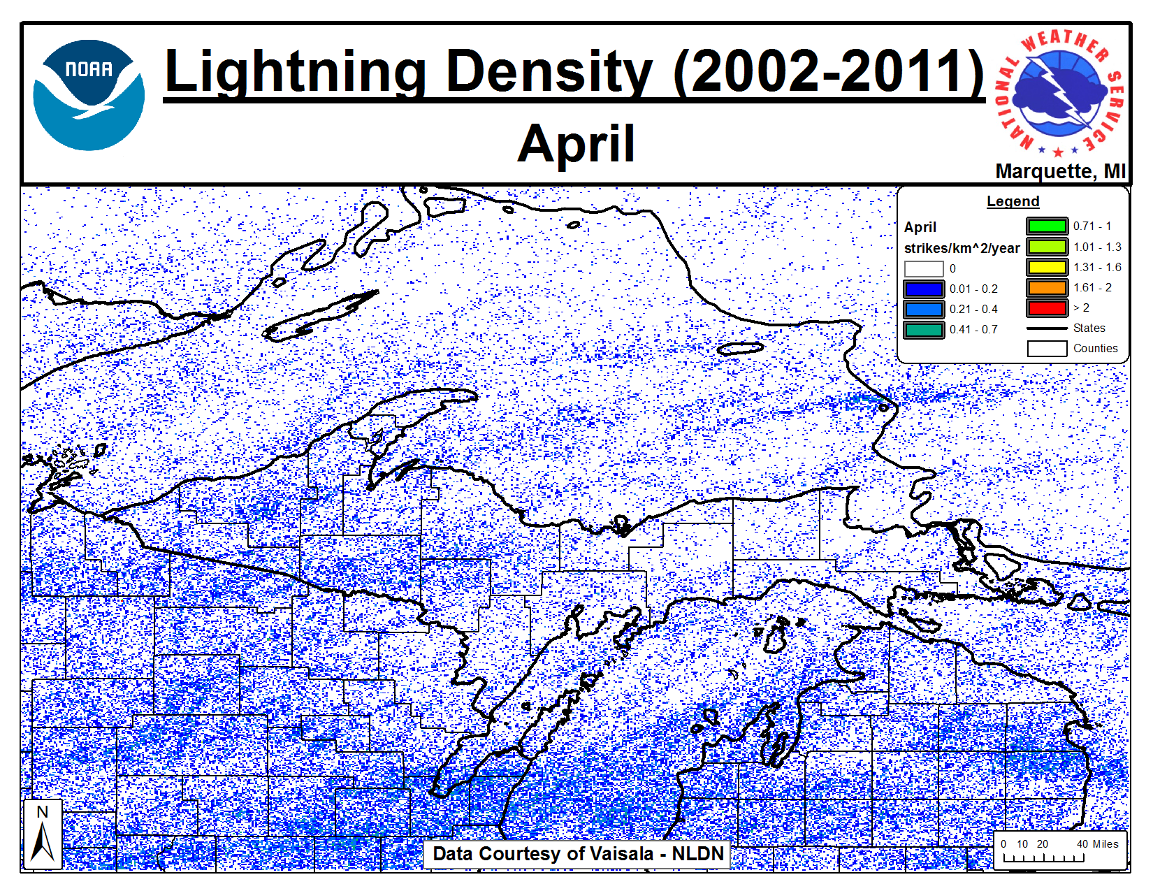
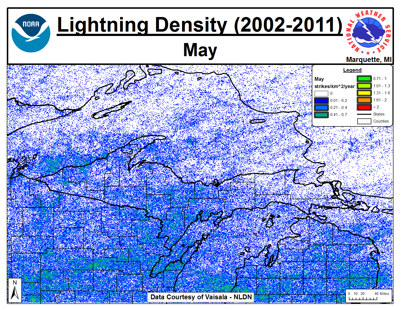
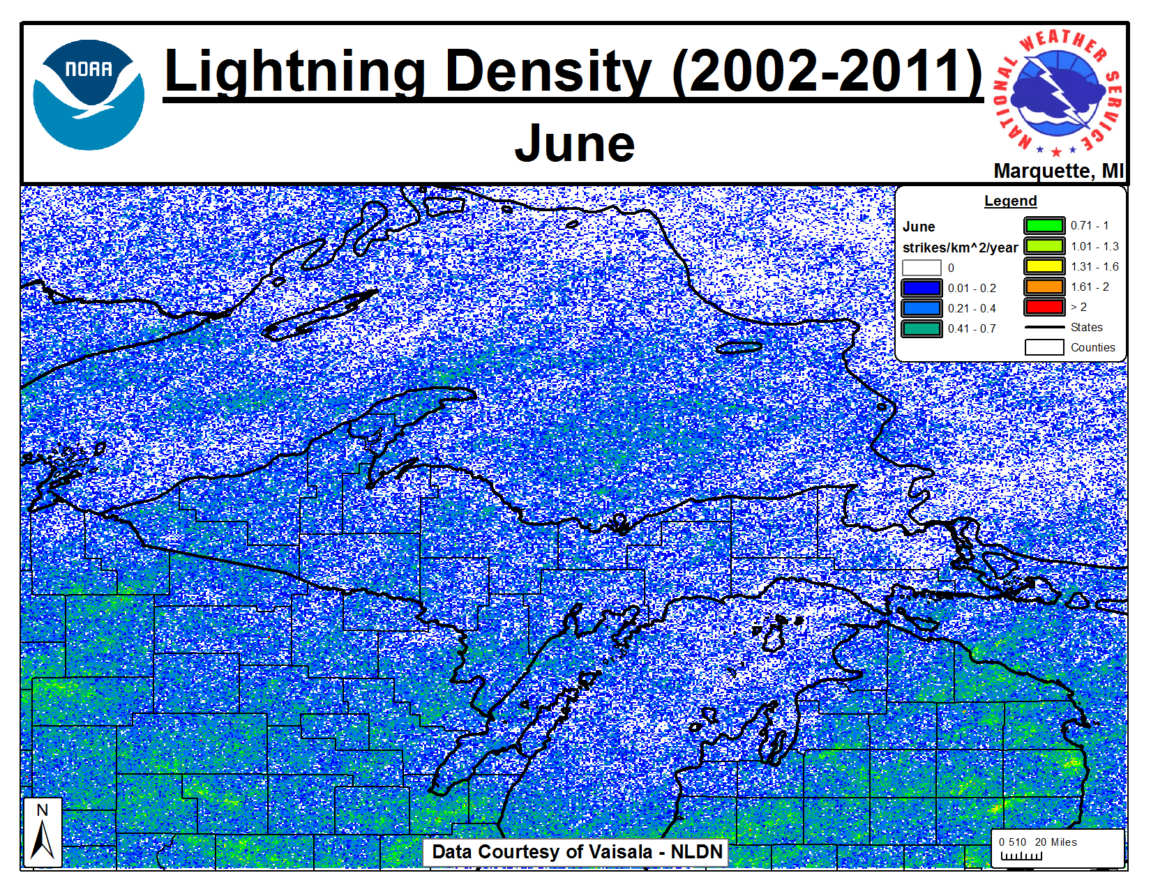
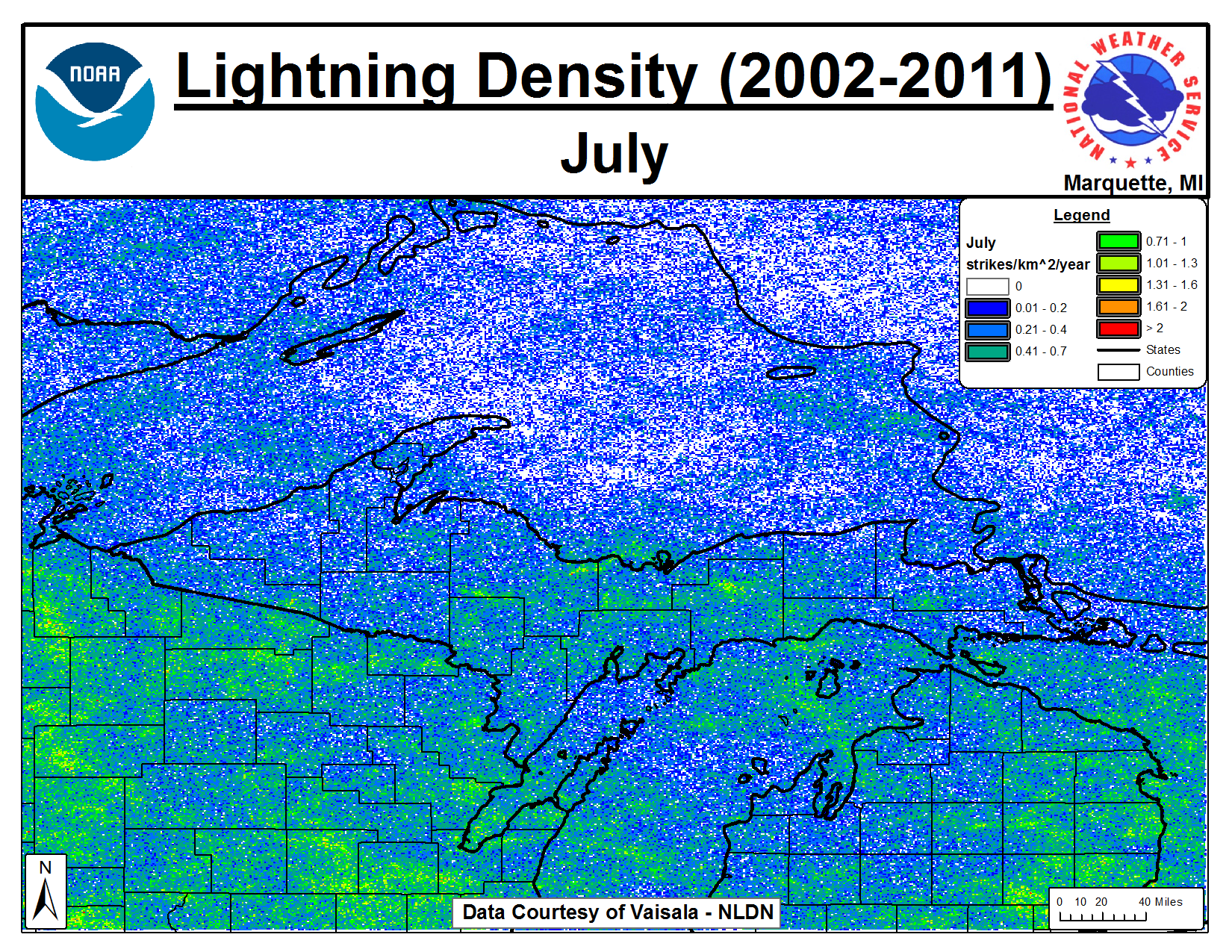
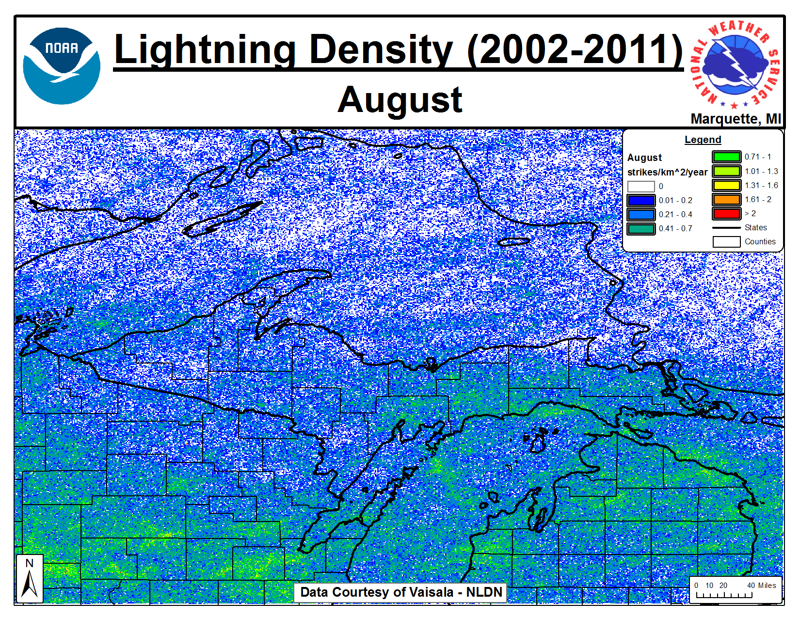
Although thunderstorms are not as frequent across the Lake Superior Region compared to other parts of the United States and Canada, lightning does pose a considerable risk to public safety, especially due to the numerous outdoor activities that occur in the late spring through early autumn months (May-September). Convective activity can come in several forms across the region, from afternoon and early evening diurnal thunderstorm activity, to late night and early morning nocturnal Mesoscale Convective Systems (MCSs). Adding to the complexity of thunderstorm development and maintenance are the Great Lakes, and the associated land/water interface, which can dramatically alter thunderstorm development, intensity and maintenance. To produce the lightning climatology study for the Lake Superior region, lightning data was collected from the National Lightning Detection Network (NLDN) for the 2002-2011 period. This allowed us to create a 10 year (2002-2011) climatology of lightning over the Great Lakes region, although the current focus is over the Lake Superior region. Several features can be noted in the data, from the peak of the lightning across Upper Michigan in July and during the late afternoons, to increased lightning activity in lake breeze locations during the Spring and Summer, along with the stabilizing effect of Lake Superior during the Spring. A poster was presented on this data at the 2012 National Weather Association Annual Meeting. A PDF version of the poster can be downloaded here. |
|
If you have any questions or comments about this site please email Steven Fleegel (steven.fleegel@noaa.gov) or Michael Dutter (michael.dutter@noaa.gov) |