National Weather Service United States Department of Commerce

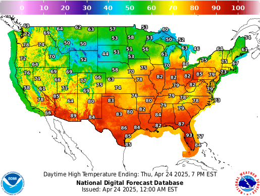
Heavy Rainfall Threat for Portions of Mid-Atlantic and Northeast; Heat Linger for Southeast and Expands for the West

Moisture and nearby frontal boundary will focus more showers and thunderstorms for portions of the Mid-Atlantic and Northeast today. Rainfall could be locally heavy resulting instances of flash flooding. Meanwhile, the heat lingers for areas of the Southeast and expands across the Western U.S. the next several days. Between these areas, severe thunderstorms possible for the Plains and Midwest. Read More >

Pictures of the Powell River at Arthur, Tennessee


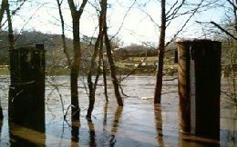
Flooded river view from the gage
The Powell River at Arthur, Tennessee runs through hilly terrain a few miles from Cumberland Gap. This view was taken from the gage, when the river was at flood stage. The cylinder in the right foreground with the "ruler" on the side is an old bridge support. The "ruler" is the staff gage with markings in feet and tenths of a foot, and is designed to be read visually.


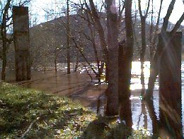
The view downstream from the gage
The view downstream from the gage. As you can see, the river is bankfull. During moderate flooding, the road to the gage is under water.


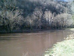
About a half mile upstream from the gage, looking upstream
About a half mile upstream from the gage, looking upstream. A garden lies under water on the near bank.


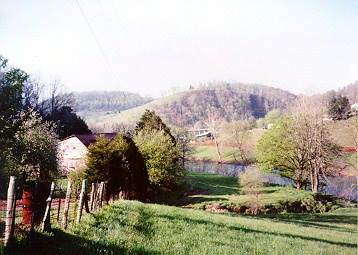
View of the Powell Valley upstream of the gage
View of the Powell Valley upstream of the gage. The only road to this location is under water during moderate flooding.


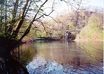
The view downstream during normal flow
The view downstream during normal flow.


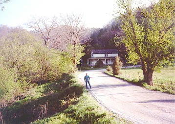
View of house in background from near the gage
During the record flood in April 1977, the river entered the second floor of the house in the background. The view is from near the gage.


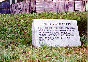
Point at Powell River where ferries traveled
Ferries were used to cross the Powell River at this point until fairly recently.