National Weather Service United States Department of Commerce

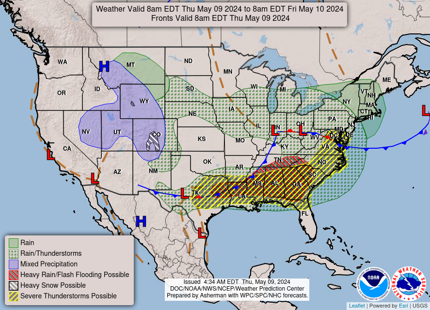
Heavy Rainfall and Severe Thunderstorm Threats for the Plains and Southeast

A frontal boundary extending from the western High Plains to the Southeast will focus additional showers and thunderstorms this weekend. Some of these storms may become severe, alongside frequent lightning, and isolated instances of flash flooding. Meanwhile dry conditions will continue for the Great Basin where fire weather concerns linger. For the mid-Atlantic and Northeast, seasonable weather. Read More >


Big South Fork RAWS site information


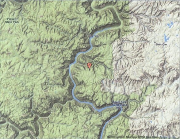
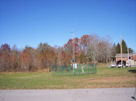
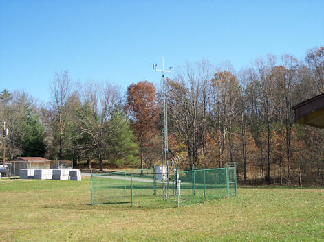
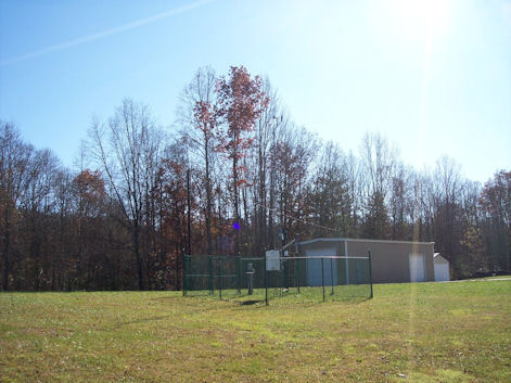
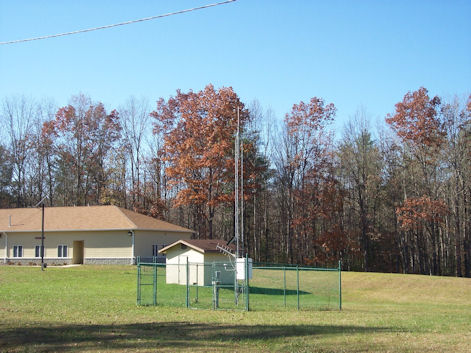
This National Park Service site is located in the Big South Fork National Recreation Area in western Scott County around nine miles west of Oneida. The site is on the south side of Hwy 297 across from the main office of the Big South Fork National Recreation Area and behind some maintenance buildings. The terrain is relatively flat on the Cumberland Plateau, with the site at an elevation of 1445 feet MSL. The highest elevations nearby are only around 100 feet higher. The canyon of the Big South Fork of the Cumberland River is only 1 mile to the west. The bottom of the canyon is around 900 feet MSL. The physical site is surrounded by a six-foot fence and is in a large open grassy area with no tall trees nearby. Three buildings are some distance away.


Topographical map of the Big South Fork RAWS site
Topographical map of the Big South Fork RAWS site.

View of the Big South Fork RAWS site looking north
View of the Big South Fork RAWS site looking north.

View of the Big South Fork RAWS site looking east
View of the Big South Fork RAWS site looking east.

View of the Big South Fork RAWS site looking south
View of the Big South Fork RAWS site looking south.

View of the Big South Fork RAWS site looking west
View of the Big South Fork RAWS site looking west.