National Weather Service United States Department of Commerce

Weekend Showers and Thunderstorms Over the Southeast U.S.

A slow moving storm system over the northern Gulf Coast will continue periods of showers and thunderstorms over much of the Southeast U.S. through this weekend. The risk for heavy to excessive rainfall increases on Sunday as a surge of increased moisture moves over parts of northern Florida into southern Georgia. Read More >


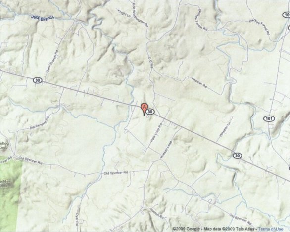
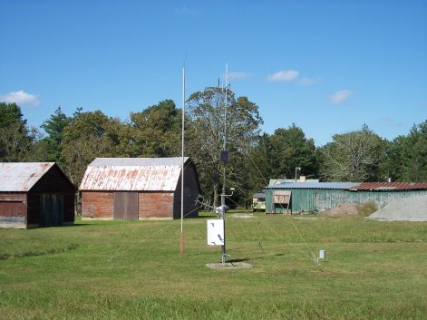
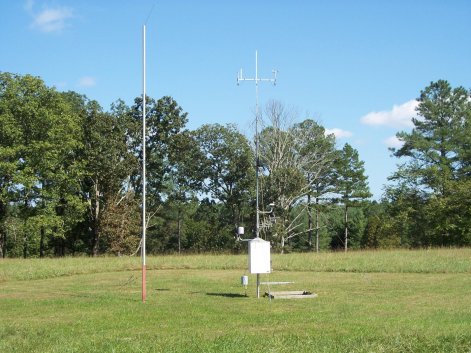
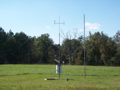
Bledsoe RAWS site information


This TN Division of Forestry site is located in the western part of Bledsoe County behind the Bledsoe State Forest Headquarters buildings. This site is around two miles west of the community of Mountain Crest (at the junction of State Hwys 30 and 101). The site is on the Cumberland Plateau at an elevation of 1780 feet MSL. The terrain is relatively flat except for Bradden Knob to the southwest at slightly over 2000 feet MSL. The edge of the plateau (where the Sequatchie Valley dissects the county) is located just three miles to the east, while the Van Buren County line is 1.5 miles to the west. The land surrounding the RAWS is gently sloping, with the site located in a cleared area (around 140 yards by 120 yards). Pine trees are located along the southern edge of the grassy area. There is a lightning rod arrester next to the site since it was struck several times in 2005.


Topographical map of the Bledsoe RAWS site
Topographical map of the Bledsoe RAWS site.

View of the Bledsoe RAWS site looking north
View of the Bledsoe RAWS site looking north.

View of the Bledsoe RAWS site looking east
View of the Bledsoe RAWS site looking east.

View of the Bledsoe RAWS site looking south
View of the Bledsoe RAWS site looking south.

View of the Bledsoe RAWS site looking west
View of the Bledsoe RAWS site looking west.