
Lake effect snow showers will continue through Saturday downwind of Lakes Erie, Ontario and the eastern portion of Lake Superior. A series of storm systems will continue to impact California and the Pacific Northwest through the weekend and into next week, bringing widespread rainfall, mountain snowfall, and gusty winds. Coastal flooding is expected in northern California. Read More >
Morristown, TN
Weather Forecast Office
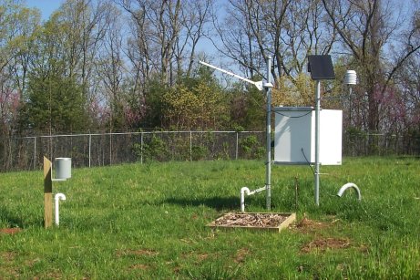
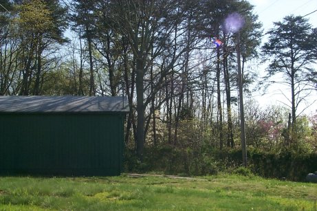
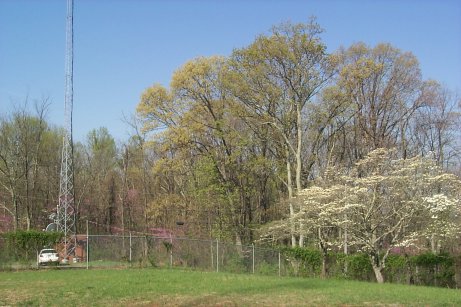
Jefferson RAWS site information
|
US Dept of Commerce
National Oceanic and Atmospheric Administration
National Weather Service
Morristown, TN
5974 Commerce Blvd.
Morristown, TN 37814
(423) 586-3771
Comments? Questions? Please Contact Us.



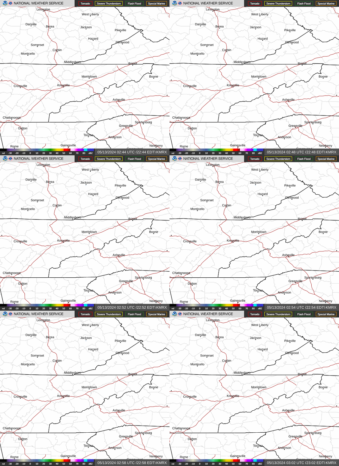 Local Radar
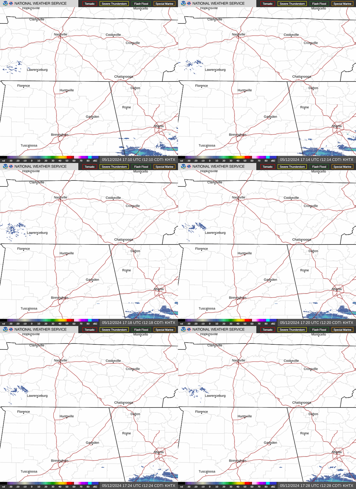 Huntsville Radar
 Regional Satellite
 Graphical Forecast
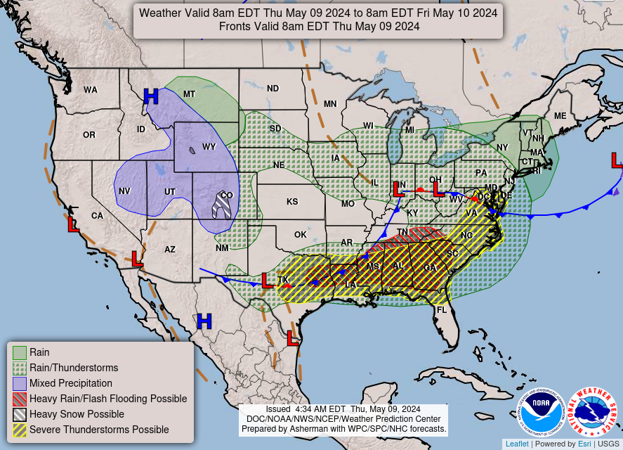 Weather Map