
Severe thunderstorms will remain possible in the Mid-Atlantic through Tuesday. Severe thunderstorms and heavy rain will also be possible in the central/southern Plains on Tuesday and Wednesday. Hazardous heat will linger across the southern U.S. and build across the West through mid-week. Hot and dry weather will create Elevated to Critical fire weather conditions in the Four Corners Region. Read More >
Morristown, TN
Weather Forecast Office
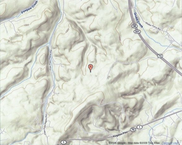
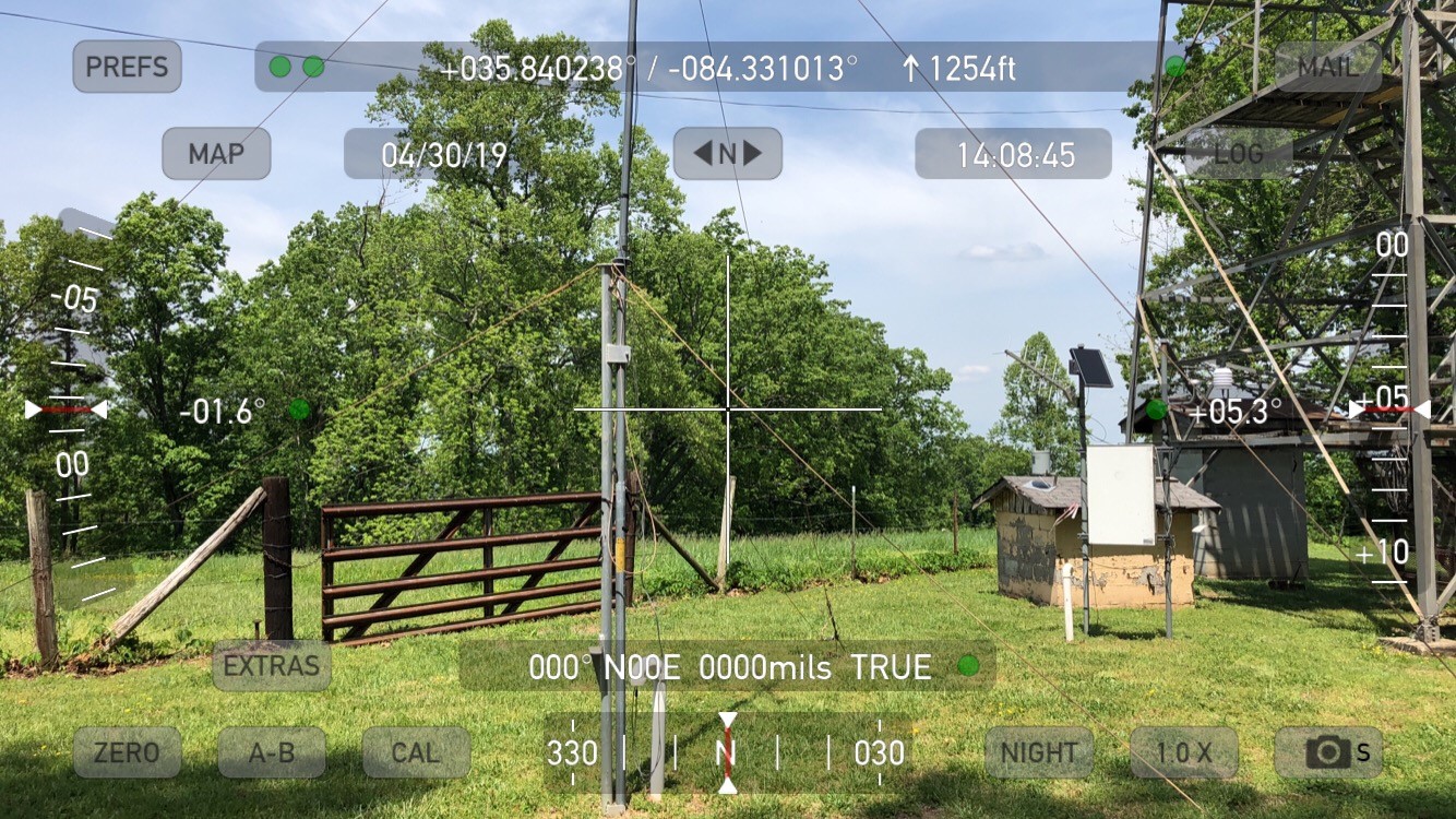
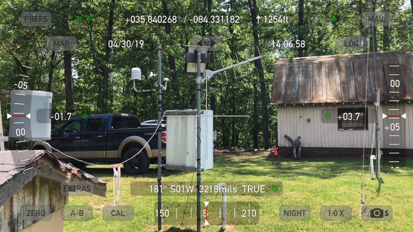
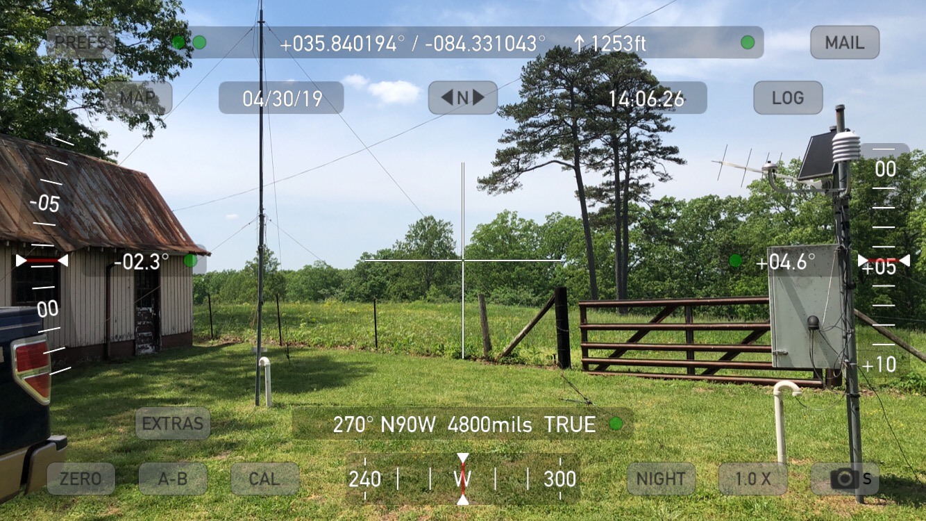
Lenoir City RAWS site information
Lenoir City RAWS site |
US Dept of Commerce
National Oceanic and Atmospheric Administration
National Weather Service
Morristown, TN
5974 Commerce Blvd.
Morristown, TN 37814
(423) 586-3771
Comments? Questions? Please Contact Us.


.jpg)
 Local Radar
 Huntsville Radar
 Regional Satellite
 Graphical Forecast
 Weather Map