National Weather Service United States Department of Commerce

Heavy Rainfall Across South Texas and the Northeast; Thunderstorms in the Southern Appalachians and Rio Grande Valley

Widespread showers and thunderstorms producing heavy rain may bring flooding to South Texas and parts of the Northeast U.S. tonight into Friday morning. Scattered severe thunderstorms with damaging gusts and large hail are expected over parts of the southern Appalachians, and Rio Grande Valley of Texas into Friday morning. Read More >


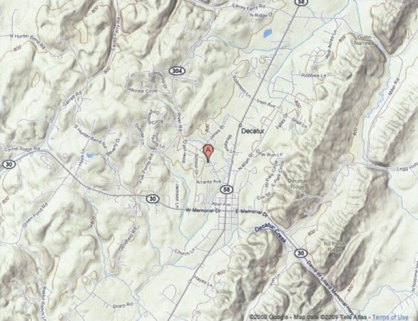
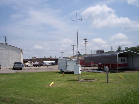
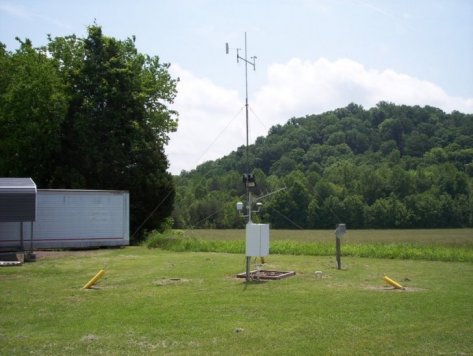
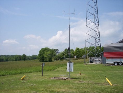
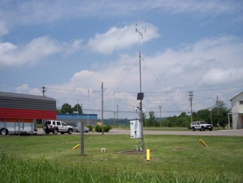
Meigs RAWS site information


This TN Division of Forestry site is located around two miles south of Decatur in central Meigs County. The RAWS is next to the Emergency Operations Center (EOC) and has an elevation of 760 feet MSL. The surrounding area is flat and located within the Goodfield Creek valley. There are two southwest-to-northeast oriented ridges running parallel to this valley less than a mile to the east (Decatur Ridge ~ 950-1000 ft and No Pone Ridge ~ 1000-1100 ft). There is a large field to the south, with only one small group of trees nearby on a hill to the east. There is a paved area on the north side (around 50 feet away), with a metal EOC storage building to the northwest. The main command EOC building is to the west, with a 150 to 200 foot tall communications tower behind it. The Tennessee River is around three miles to the west. The site is in the much smaller Goodfield Creek valley. There are two ridges running parallel to the valley less than a mile to the east.


Topographical map of the Meigs RAWS site
Topographical map of the Meigs RAWS site.

View of the Meigs RAWS site looking north
View of the Meigs RAWS site looking north.

View of the Meigs RAWS site looking east
View of the Meigs RAWS site looking east.

View of the Meigs RAWS site looking south
View of the Meigs RAWS site looking south.

View of the Meigs RAWS site looking west
View of the Meigs RAWS site looking west.