
Heavy to excessive rainfall will continue today from the Texas Big Bend region into southern Oklahoma. Locally considerable flash and urban flooding is possible, and river flooding will continue in central Oklahoma. Scattered severe thunderstorms are possible in parts of the Mid-Atlantic Friday. A Typhoon Watch has been issued for Guam and CNMI. Read More >
Morristown, TN
Weather Forecast Office
Delivered by personnel from the NWS Forecast Office in Morristown, TN at a public meeting of the Smoky Mountain Chapter of the American Meteorological Society on 17 September 2012 at the National Weather Service Forecast Office in Morristown, TN.
Speaker: David Hotz (Science and Operations Officer)
Speaker: David Hotz (Science and Operations Officer)
Speaker: George Mathews (Meteorologist in Charge)
Speaker: George Mathews (Meteorologist in Charge)
Speaker: Eric Holweg (Information Technology Officer)

US Dept of Commerce
National Oceanic and Atmospheric Administration
National Weather Service
Morristown, TN
5974 Commerce Blvd.
Morristown, TN 37814
(423) 586-3771
Comments? Questions? Please Contact Us.


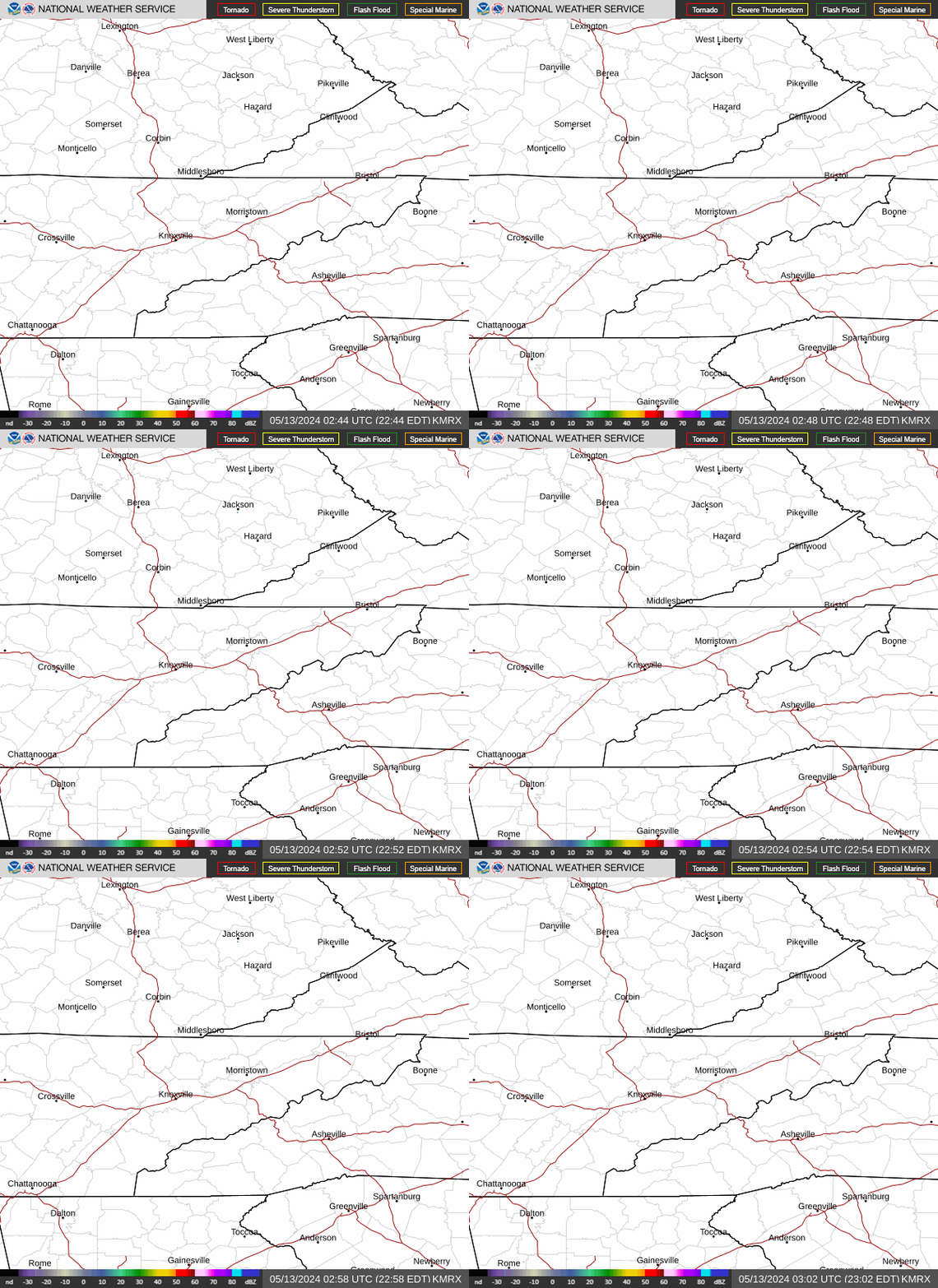 Local Radar
 Huntsville Radar
 Regional Satellite
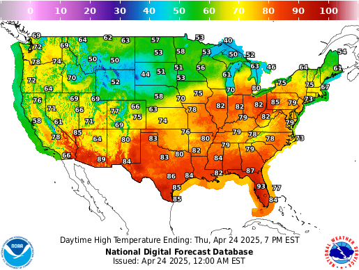 Graphical Forecast
 Weather Map
 Follow us on X
 Follow us on Facebook
 Follow us on YouTube
 MRX RSS Feed