
Heat expands across the Desert Southwest, Plains, Mississippi Valley and Midwest into Monday. Fire weather concerns continue for portions of the Intermountain West. Active monsoonal moisture fuels thunderstorms over the Southwest with possible flash flooding. Tropical cyclone Fausto in the Pacific, should weaken as it approaches Hawaii; Dangerous surf, swells and rip currents are expected. Read More >
Morristown, TN
Weather Forecast Office
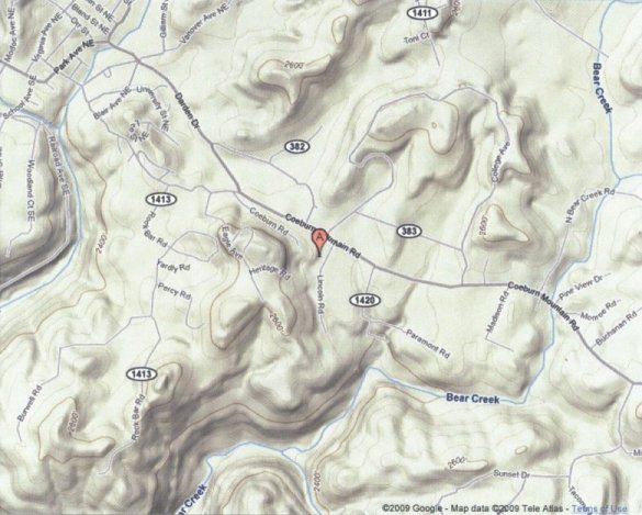
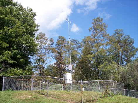
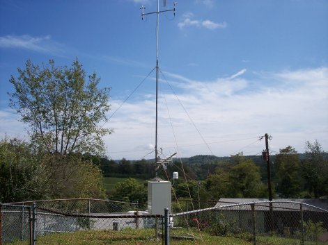
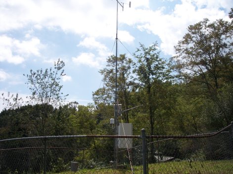
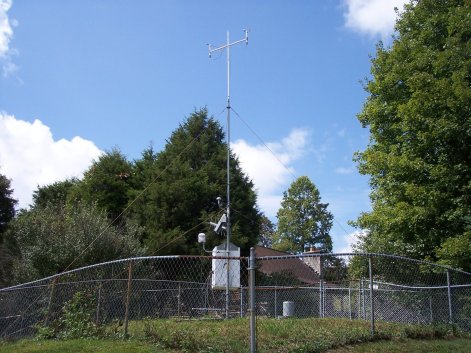
Wise RAWS site information
|
US Dept of Commerce
National Oceanic and Atmospheric Administration
National Weather Service
Morristown, TN
5974 Commerce Blvd.
Morristown, TN 37814
(423) 586-3771
Comments? Questions? Please Contact Us.


 Local Radar
 Huntsville Radar
 Regional Satellite
 Graphical Forecast
 Weather Map