National Weather Service United States Department of Commerce

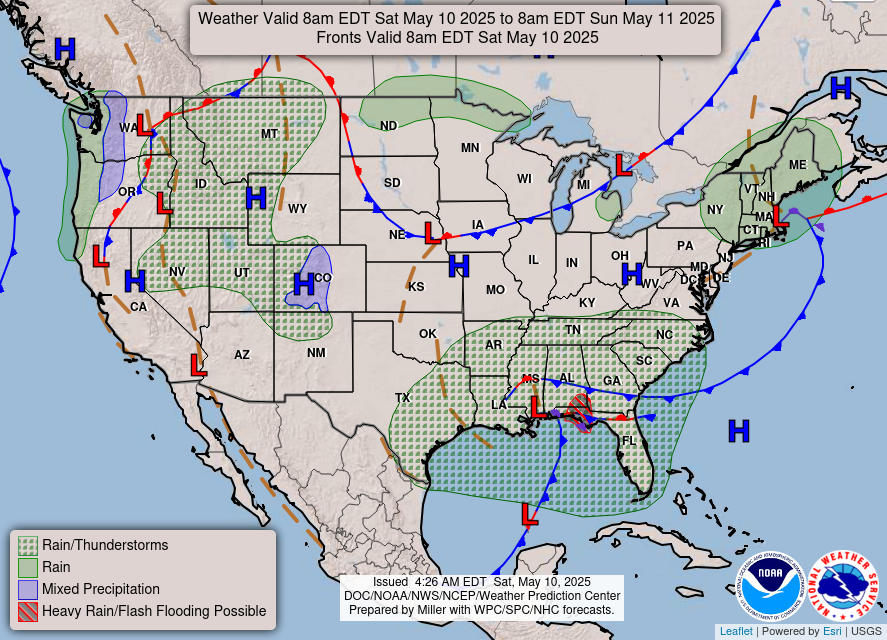
Heavy Rain and Thunderstorms in the Lower Ohio Valley and Southeast; Flooding Continues Along the East Coast of Florida

An approaching cold front may produce isolated heavy rainfall and severe weather today over portions of the Lower Ohio Valley and Southeast. While the heavy rainfall is ending across east Florida, significant river flooding is forecast along the St. John’s and the Peace rivers through the end of the week as flood waters will be slow to recede. Read More >

Click a location below for detailed forecast.

Last Map Update: Wed, Nov 4, 2026 at 10:14:30 am PST
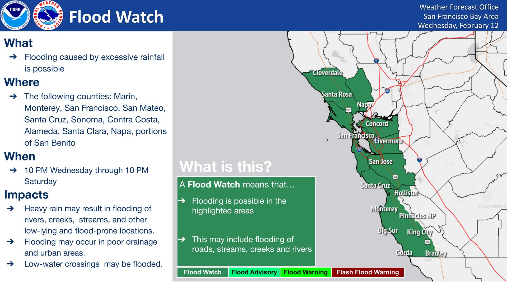
Hazardous beach conditions will be present at Pacific Coast beaches Thursday through Saturday as long period northwesterly swell brings breaking waves of 12 to 16 feet, along with an increased risk for sneaker waves and strong rip currents. Waves can sweep across the shoreline without warning, pulling people into the sea from beaches, jetties, and rocks. Stay off of jetties, piers, rocks, and other waterside infrastructure, remain out of the water to avoid hazardous surf, and never turn your back on the ocean!
The Coastal Flood Advisory Wednesday through Monday has been extended into the southern Monterey Bay and remains in effect for the San Pablo and San Francisco Bays due to elevated water levels around times of peak high tide. Up to 1.6 ft of inundation above ground level is possible in low-lying areas near shorelines and tidal waterways during times of peak high tides. Low-lying coastal roads, walkways, and docks may experience minor flooding during high tide cycles. Turn Around, Don't Drown: Do not drive around barricades or attempt to drive through water of unknown depth. Take precautions now to secure or protect flood-prone property.


Text Product Selector (Selected product opens in current window)