
Dry and windy conditions will produce dangerous fire weather conditions across the southern High Plains into the Southwest. Severe storms, including very large hail, strong tornadoes, and winds, are expected in the central Plains into the Upper Midwest. Heavy late-season snow and record cold temperatures are expected in the northern to central Rockies. Heat is spreading across the eastern U.S.. Read More >
Last Map Update: Sun, May 17, 2026 at 10:20:22 am PDT

|
Text Product Selector (Selected product opens in current window)
|
|


 San Francisco Radar
 Sacramento Radar
 Satellite
 Weather Map
 Local Graphical Forecast
 U.S. Graphical Forecasts
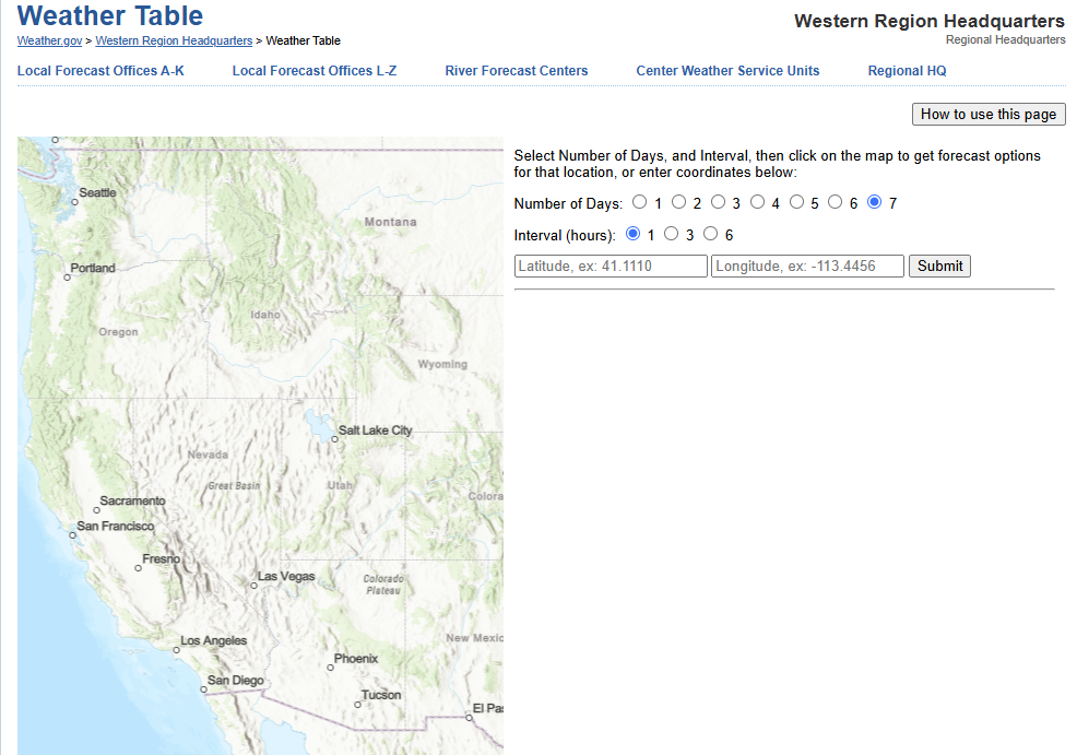 Forecast Weather Tables
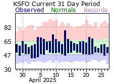 Recent MTR Temperatures
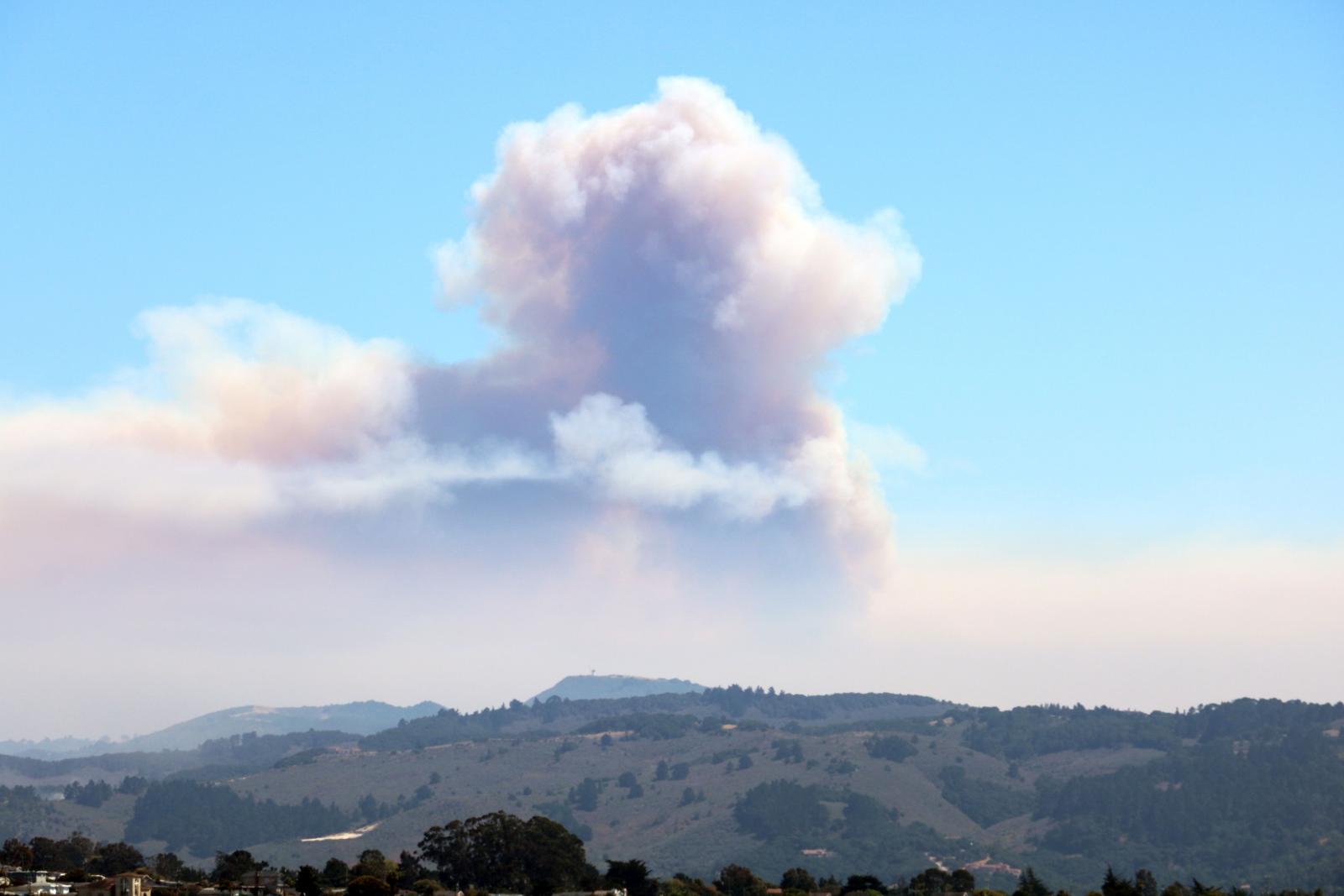 Fire Weather
 Probabilistic Snowfall Forecasts
 Heat Risk Link
 Weather Stats