
Wet, stormy, and unsettled weather continues for much of the eastern half of the U.S. through Memorial Day. There is potential for scattered flash flooding across the Central Gulf Coast into North Georgia and across the Upper Ohio Valley. Severe storms capable of hail/wind may occur across the Middle Missouri Valley/Siouxland and across other parts of the central and southern Plains and Southeast. Read More >
Last Map Update: Sun, May 24, 2026 at 10:50:13 am PDT
|
Text Product Selector (Selected product opens in current window)
|
|


 San Francisco Radar
 Sacramento Radar
 Satellite
 Weather Map
 Local Graphical Forecast
 U.S. Graphical Forecasts
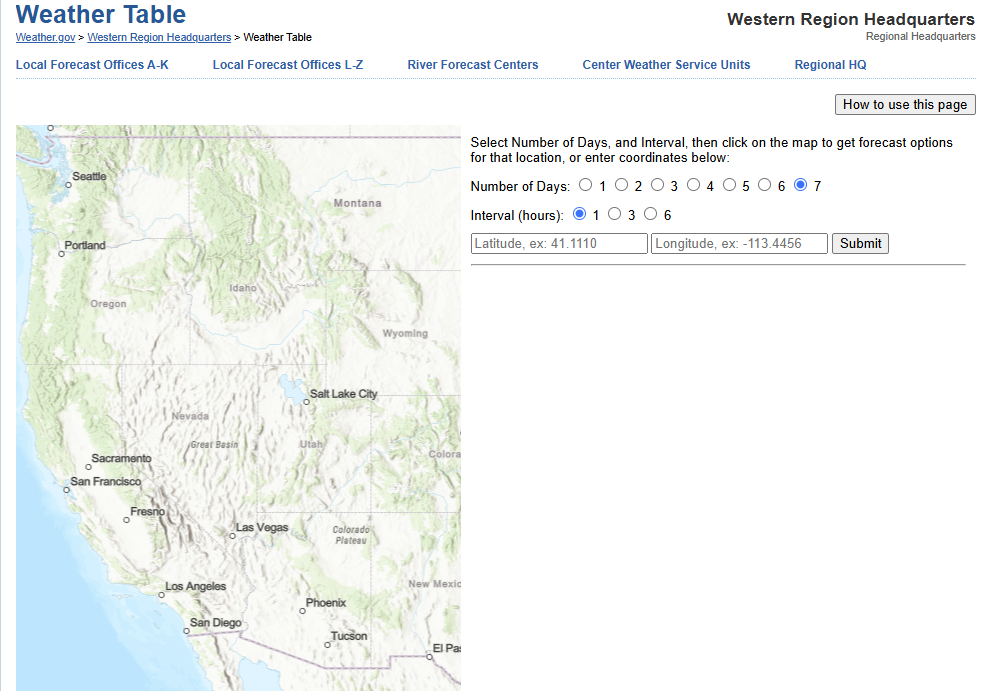 Forecast Weather Tables
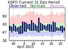 Recent MTR Temperatures
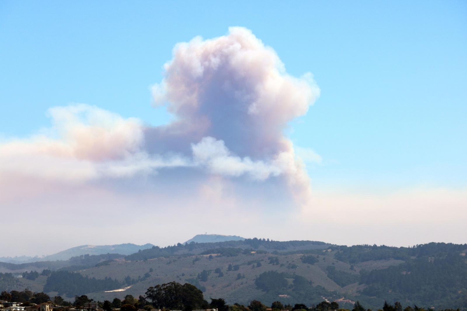 Fire Weather
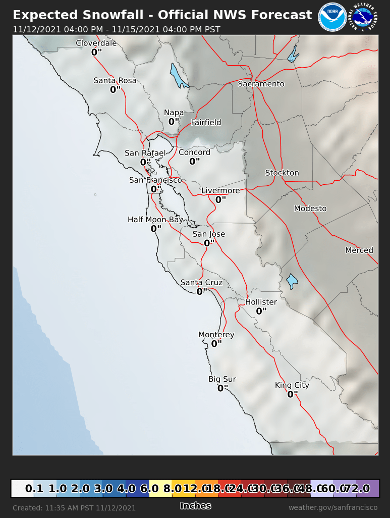 Probabilistic Snowfall Forecasts
 Heat Risk Link
 Weather Stats