National Weather Service United States Department of Commerce

Heavy to Excessive Rainfall in Eastern Florida; Unsettled Weather Along the West Coast

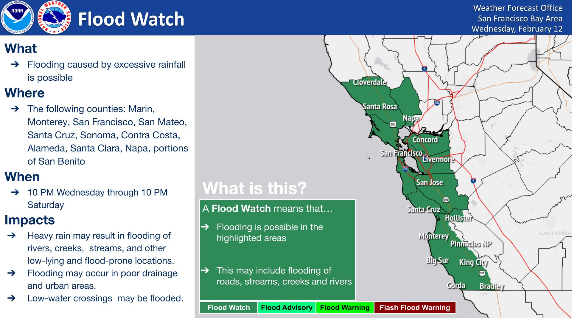
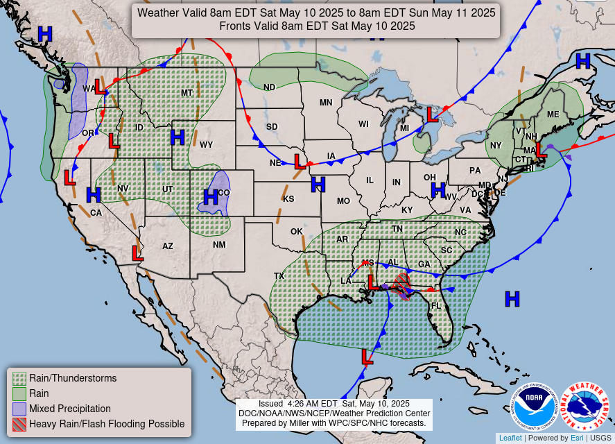
Heavy to excessive rainfall will likely bring flash and urban flooding impacts along the I-95 corridor from St. Augustine to Palm Beach, Florida through this weekend. A Pacific Storm moving into the West Coast tonight through Wednesday will bring moderate to heavy rainfall to low elevations and heavy snowfall to the Sierra Nevada Mountains. Read More >

Flash Flood Watch: Brief heavy rain may lead to localized flooding and/or debris flows. When: Wednesday AM through Thursday AM. Where: Plaskett and Timber Burn Areas.
Flash Flood Watch: Brief heavy rain may lead to localized flooding and/or debris flows. When: Tuesday PM through Wednesday PM. Where: Pickett Burn Area.
Breaking waves of 10 to 15 ft expected. Waves can sweep across the shoreline without warning, pulling people into the sea from beaches, jetties, and rocks resulting in significant physical injury and increasing the risk of drowning. NEVER turn your back to the ocean.
High Wind Warning for East Bay Interior Hills (Altamont Pass) with South winds 25 to 35 mph with gusts expected up to 70 mph expected. Wind Advisory for East Bay Interior Valleys and the Pacific Coast with Southwest winds 20 to 30 mph with gusts up to 50 mph expected. Winds this strong can make driving difficult, especially for high profile vehicles. Use extra caution. Damaging winds could down trees, snap power lines, and result in property damage. Widespread power outages are possible. Travel could be extremely difficult and hazardous, especially for high profile vehicles.


Text Product Selector (Selected product opens in current window)