
Showers and thunderstorms will accompany a cold front that will move across the eastern third of the country through Sunday. In the wake of this front, cooler temperatures will follow for most areas east of the Rockies. A wet pattern is expected to unfold across most of Florida this week with a persistent onshore flow and increase rip currents. For Hawaii, a return toward more rain the week ahead. Read More >
Last Map Update: Sat, Apr 4, 2026 at 4:14:15 pm PDT
|
Text Product Selector (Selected product opens in current window)
|
|


 San Francisco Radar
 Sacramento Radar
 Satellite
 Weather Map
 Local Graphical Forecast
 U.S. Graphical Forecasts
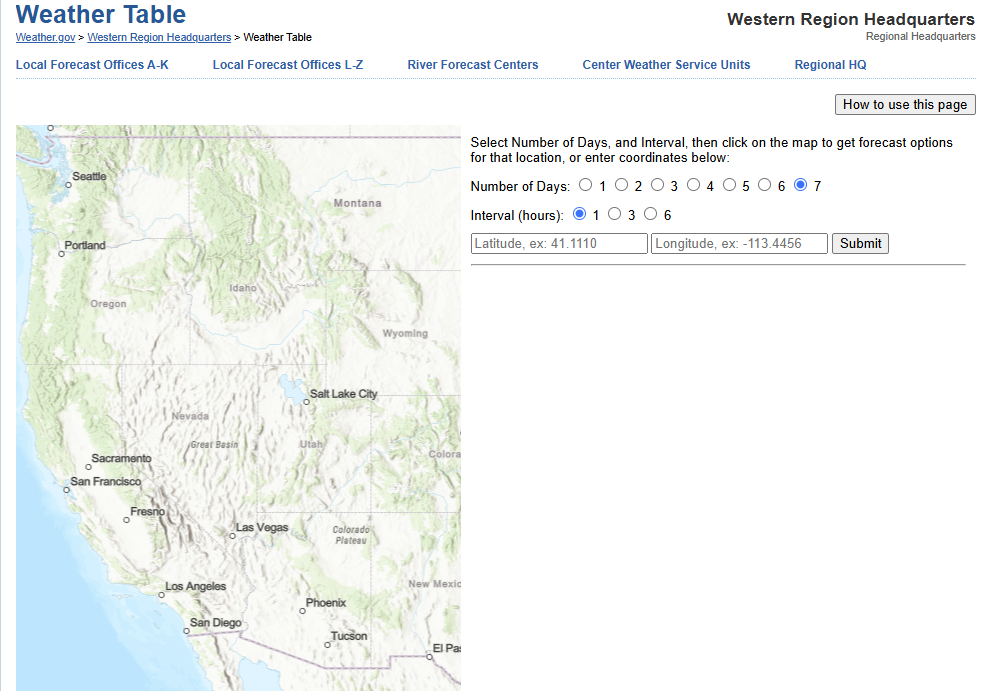 Forecast Weather Tables
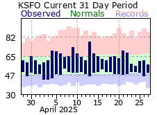 Recent MTR Temperatures
 Fire Weather
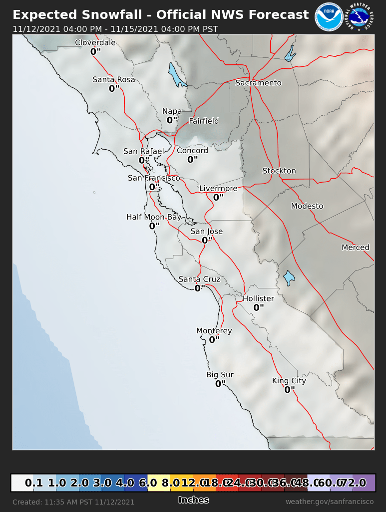 Probabilistic Snowfall Forecasts
 Heat Risk Link