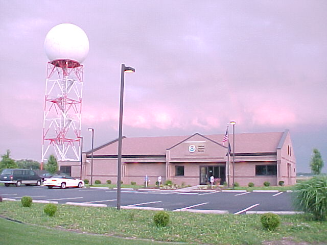
Paducah, KY
Weather Forecast Office
Personnel at this office include:
Meteorologist in Charge
Science and Operations Officer
Warning Coordination Meteorologist
Observation Program Leader
Service Hydrologist
Five Senior Meteorologists
Eight Meteorologists
Information Technology Officer
Two Electronics Technicians
Electronic Systems Analyst
Administrative Support Assistant
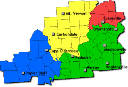
The Paducah National Weather Service office serves 58 counties across the Lower Ohio and Mid Mississippi Valleys. Pictured above is the area for which the Paducah office issues forecasts and warnings. The largest cities in our coverage area include Evansville, Hopkinsville, Owensboro, Carbondale, Cape Girardeau, and Paducah.
FORECASTS
Forecast Discussion
User Defined Area Forecast
Hourly Forecasts
Fire Weather
Activity Planner
LOCAL INFORMATION
Aviation Weather
Our Office
SKYWARN
Items of Interest
Hazardous Weather Support
Local Observations
Weather History
NWS Paducah KY Weekly Partner Briefing
US Dept of Commerce
National Oceanic and Atmospheric Administration
National Weather Service
Paducah, KY
8250 Kentucky Highway 3520
West Paducah, KY 42086-9762
270-744-6440
Comments? Questions? Please Contact Us.

