Widespread life-threatening flash and urban flooding will continue to pose a significant threat to life and property in south-central Texas. Catastrophic fiver flooding, with rapid rises on small streams, arroyos, and typically dry washes, is expected. Monsoonal showers persist across the Great Basin and Southwest with greatest flash flooding in southern Arizona. Read More >
Pendleton, OR
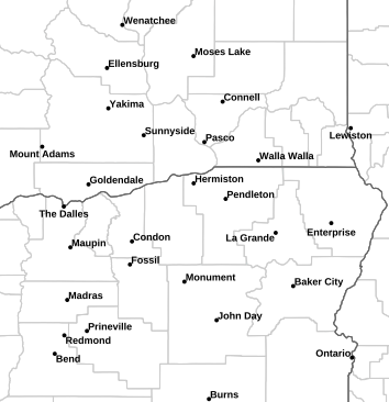
Weather Forecast Office
Most Recent KPSC TAF
Terminal Aerodrome Forecast Issued: 07/17/2026 12:20:21 AM UTC
825
FTUS46 KPDT 161720
TAFPSC
TAF
KPSC 161720Z 1618/1718 VRB04KT P6SM FEW050 FEW120
FM162200 22009KT P6SM SKC
FM170000 22012G20KT P6SM SKC
FM171000 21009KT P6SM SKC=
Most Recent Airport Weather Warning (Note: The date and time the product was issued)
No Product Issued
US Dept of Commerce
National Oceanic and Atmospheric Administration
National Weather Service
Pendleton, OR
2001 NW 56th Drive
Pendleton, OR 97801
(541) 276-4493
Comments? Questions? Please Contact Us.