Scattered thunderstorms with severe gusts, hail and a tornado risk are possible near a cold front from the Ohio Valley to the Mid-Atlantic tonight. Tropical Storm Bertha is expected to bring tropical storm conditions to portions of the Gulf Coast from the panhandle of Florida into Louisiana through Wednesday. Read More >
|
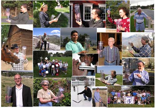
CoCoRaHS - The Community Collaborative Rain, Hail, and Snow Network
|
|||
|
|
Become a Weather Observer for Your Community! What is CoCoRaHS? CoCoRaHS (the Community Collaborative Rain, Hail, and Snow network) is a grassroots volunteer network made up of people of all ages and backgrounds who measure precipitation including rain, hail, and snow. Using low cost measuring tools, volunteers figure out how much precipitation fell at their location each day, then they using the CoCoRaHS website to report their observations. CoCoRaHS originated with the Colorado Climate Center at Colorado State University in 1998 thanks in part to the Fort Collins flood a year prior. In the years since, CoCoRaHS now includes thousands of volunteers nationwide. The National Oceanic and Atmospheric Administration (NOAA) and the National Science Foundation (NSF) are major sponsors of CoCoRaHS. Who can participate?
How do I get started?
Why is CoCoRaHS important? How will my observations be used? Rainfall amounts can vary tremendously over a short distance - by inches over a distance of just a few city blocks! While there are some rain gauges across the area providing data to us and weather radar can estimate how much rain has fallen in a particular spot, the best way for us to know how much rain has fallen is for several people to take actual rain gauge measurements. This data is important and is used in several ways. Some examples include...
You can always view the latest CoCoRaHS data from our forecast area each morning on our daily CoCoRaHS product and some of the reports are displayed on our daily precipitation maps.
Training Material
|
||