
Lines of showers and thunderstorms continue for the Southeast through today. Some of these storms will be severe with hail, damaging winds and tornadoes. For the mid-Atlantic region and Northeast, unsettled and cooler weather pattern through the weekend. For Hawaii, a nearby system will focus showers and thunderstorms containing heavy rainfall and possible flooding. Snow lingers for Rockies. Read More >
↵
 |
 |
NWS Mt Holly, NJ Radar and Satellite Page"Working Toward a Weather-Ready Nation"Suggestions for improvement are welcome. |
 |
|
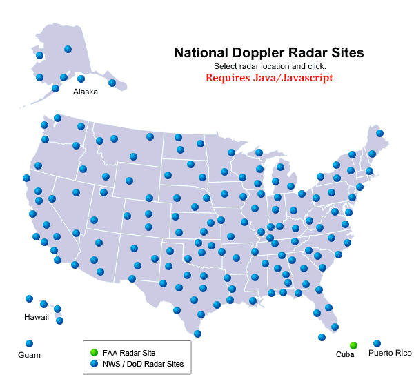
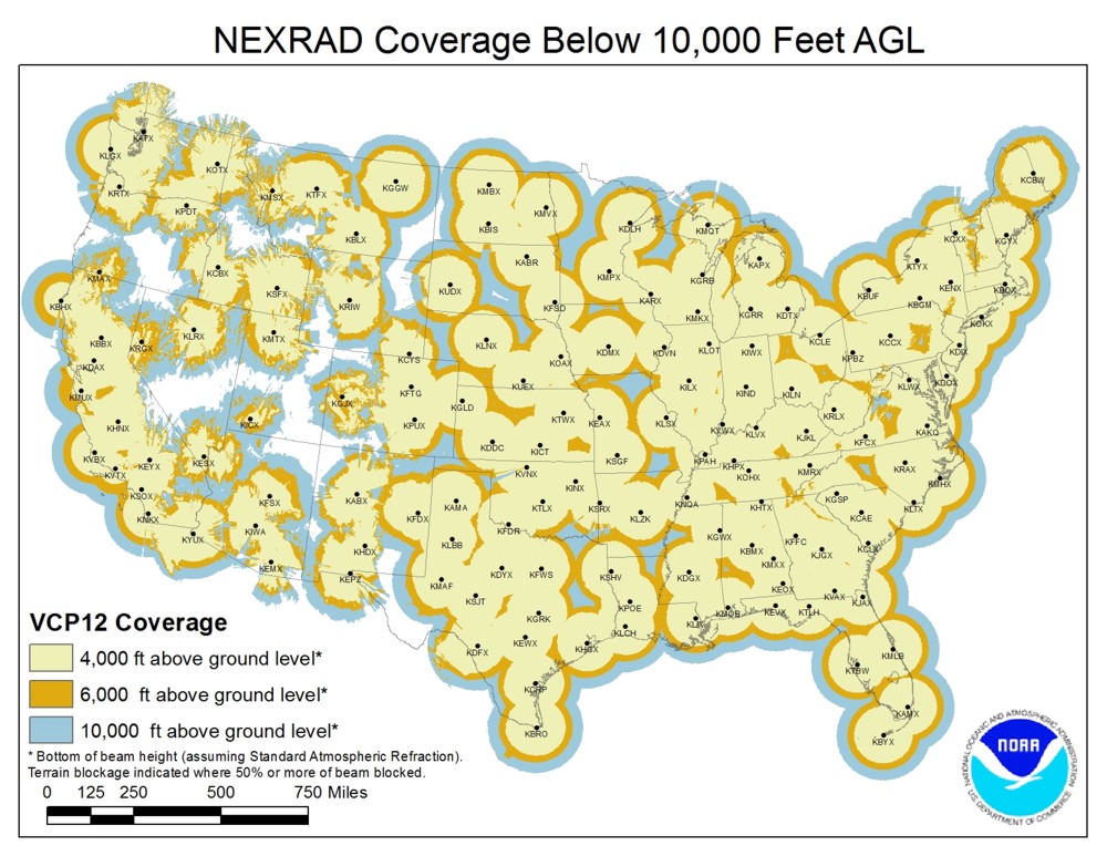
NWS Radar Data
|
|
|||||||
 Fort Dix Radar  Dover AFB Radar |
|||||||
 NWS Sterling Radar |
 NWS St College Radar |
 NWS Wakefield Radar |
NWS Upton Radar |
||||
|
|
|
|
|
||||
|
NOAA Satellite Imagery
|
|
Infrared (IR) Imagery
|
Visible (VIS) Imagery
|
||||
|
Water Vapor (WV) Imagery
|
Tropical Satellite Images
|
||||
|
East CONUS
Click to enlarge  East CONUS Image |
East CONUS
Click to enlarge  East CONUS Loop |
||||
Updated April 20, 2015


 Coastal Flood
 Marine Forecasts
 Text Products
 Climate Information
 Skywarn
 Submit Storm Report
 Weather Event Archives
 Forecast Discussion
 Briefing Page
 Follow us on YouTube