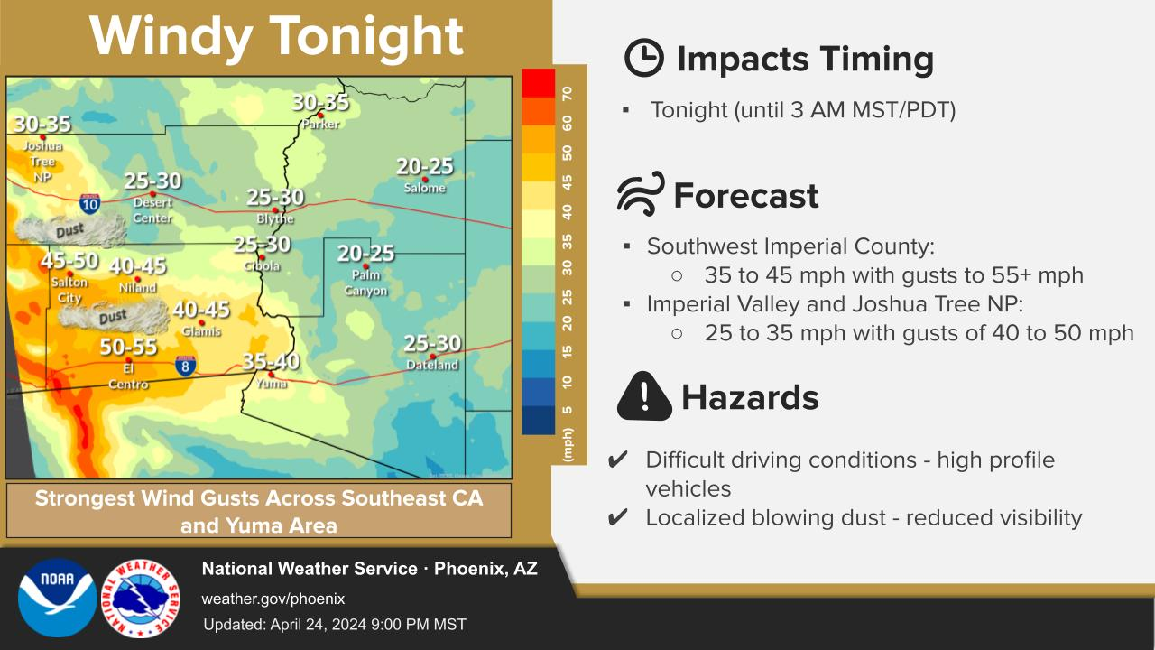
Strong winds will increase across the region over the next several days with gusts forecast to climb upwards of 40-50 mph. A few locally stronger gusts will be possible. Wind Advisories are in effect starting as early as Thursday evening and lasting through midday Saturday. These strong winds may also result in some areas of blowing dust that can lead to lowered visibilities and dangerous driving conditions.





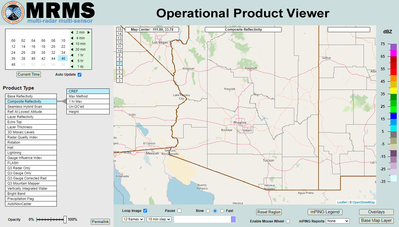 MRMS Radar Imagery
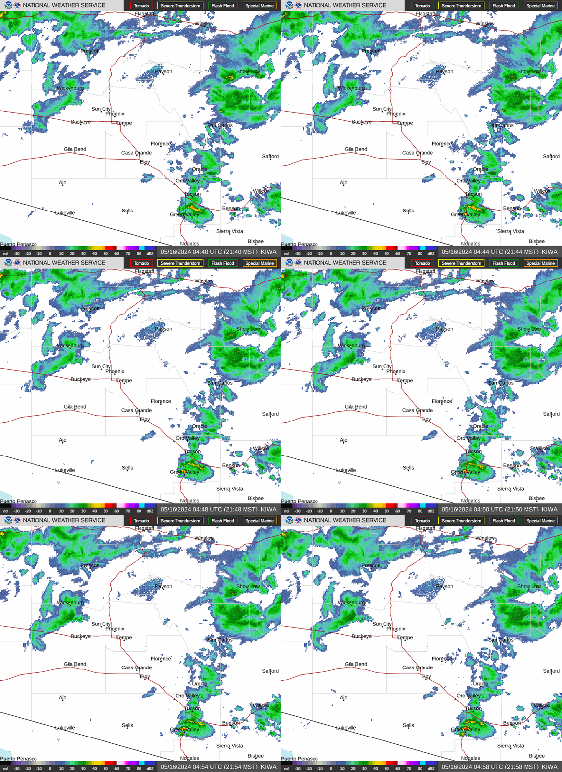 Phoenix Radar
 Yuma Radar
 Regional Satellite
 GOES-19 Satellite
.PNG) Weather & Hazards Data Viewer
Weather & Hazards Data Viewer Forecast Discussion
 Fast Page
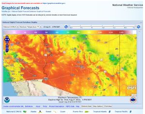 Local Graphical Forecast
 Drought Monitor
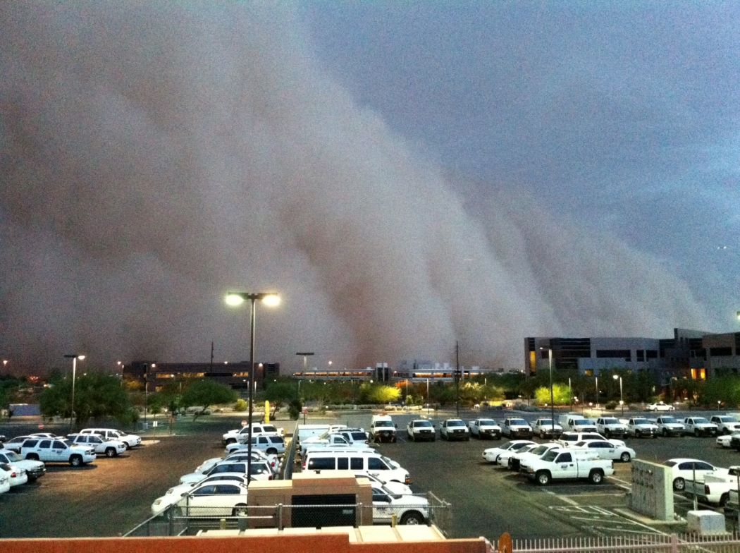 Monsoon Tracker
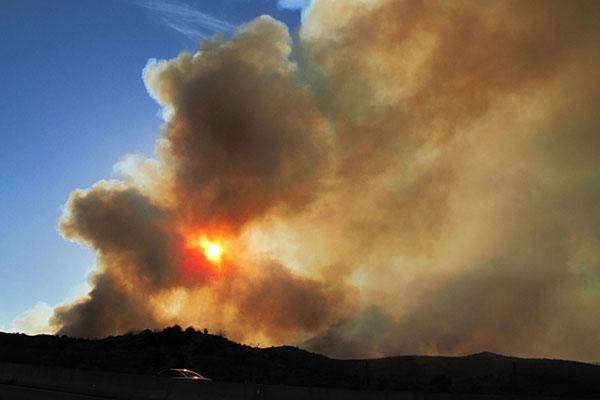 Fire Weather
 Heat
Heat Graphical HWO
 SPC Outlooks
 Hurricane Outlook
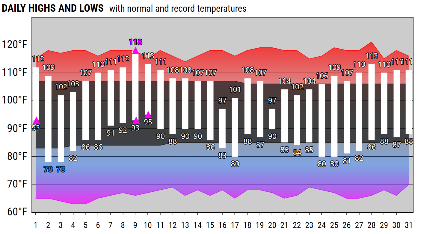 Local Climate Charts
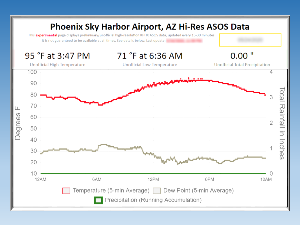 Hi-res KPHX ASOS Data
 Follow us on X
 Follow us on Facebook
 Follow us on YouTube
 PSR RSS Feed