National Weather Service United States Department of Commerce

Severe Thunderstorms and Heavy Rain in the Southern U.S.; Snow in the Northern Rockies and Northern Plains

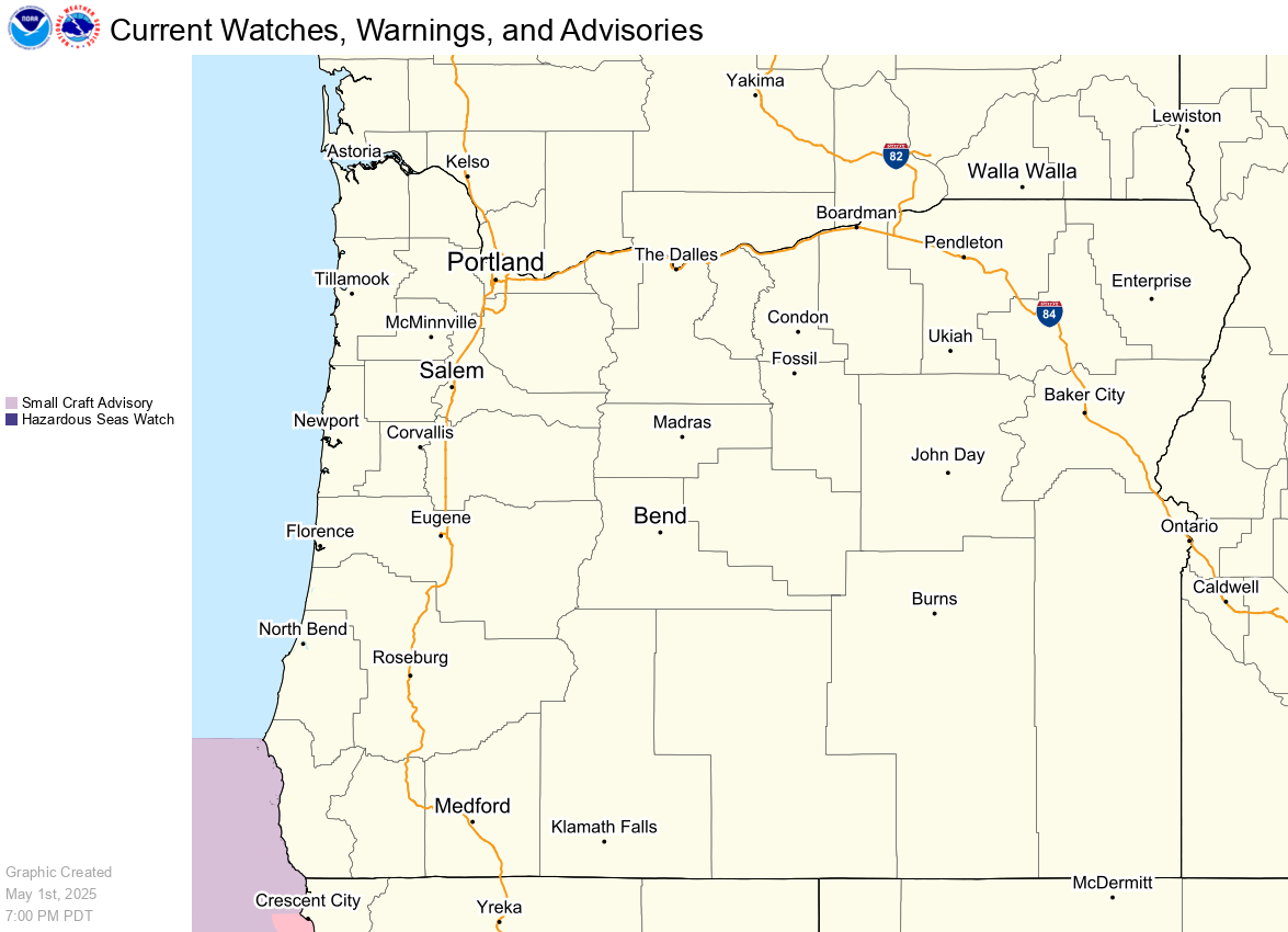
A storm system will shift from eastern Texas into the lower Mississippi Valley today with additional threats of severe thunderstorms and heavy to excessive rainfall which may bring flooding. In the northern U.S., a storm will bring heavy snow and gusty winds over parts of the northern Rockies, northern Plains, and Upper Midwest today into Wednesday. Read More >

IdssCounty Link Should go Here


IdssCounty Link Should go Here


IdssCounty Link Should go Here


Day 3 Heat Risk
Day 4 Heat Risk
Day 5 Heat Risk
Day 6 Heat Risk
Day 7 Heat Risk
 
Category Level Meaning
Green 0 No Elevated Risk
Yellow 1 Low Risk for those extremely sensitive to heat, especially those without effective cooling and/or adequate hydration
Orange 2 Moderate Risk for those who are sensitive to heat, especially those without effective cooling and/or adequate hydration
Red 3 High Risk for much of the population, especially those who are heat sensitive and those without effective cooling and/or adequate hydration
Magenta 4 Very High Risk for entire population due to long duration heat, with little to no relief overnight
 
 
Day 3 Heat Index
Day 4 Heat Index
Day 5 Heat Index
Day 6 Heat Index
Day 7 Heat Index


NWS Heat Index values


Classification Heat Index Effect on the body
Caution 80°F - 90°F Fatigue possible with prolonged exposure and/or physical activity
Extreme Caution 90°F - 103°F Heat stroke, heat cramps, or heat exhaustion possible with prolonged exposure and/or physical activity
Danger 103°F - 124°F Heat cramps or heat exhaustion likely, and heat stroke possible with prolonged exposure and/or physical activity
Extreme Danger 125°F or higher Heat stroke highly likely