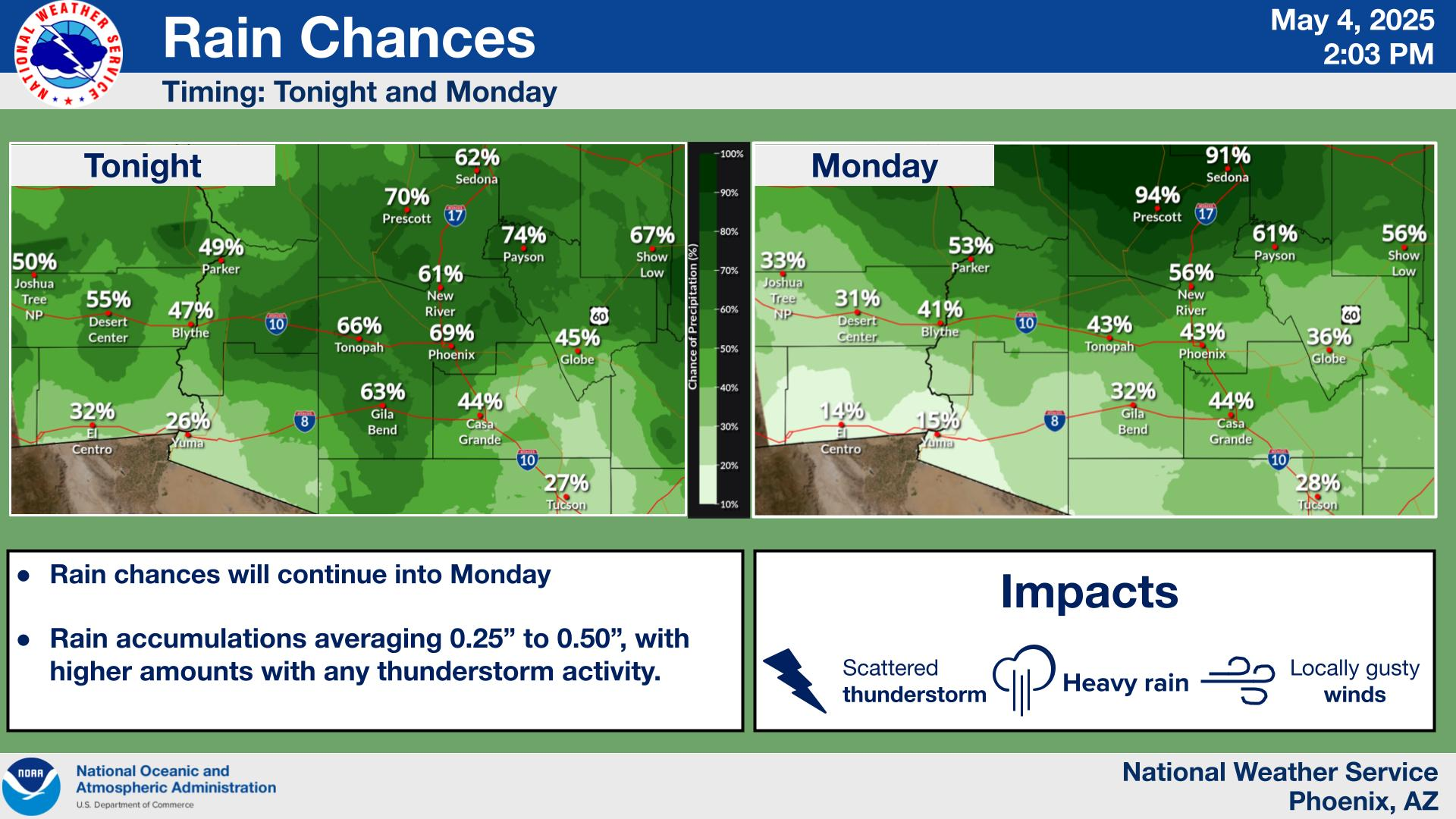
A Flood Watch remains in effect for much of AZ today, including Maricopa County, Northwest Pinal County, and Southern Gila County. Widespread light to moderate showers will continue through today, with activity declining and shifting east of the area tonight. Isolated thunderstorms may develop this afternoon as well and lead to higher rain-rates and areas of flash flooding, especially if multiple track over the same spot. The long duration rainfall will also lead to slower response flooding in washes, creeks, streams, and rivers.





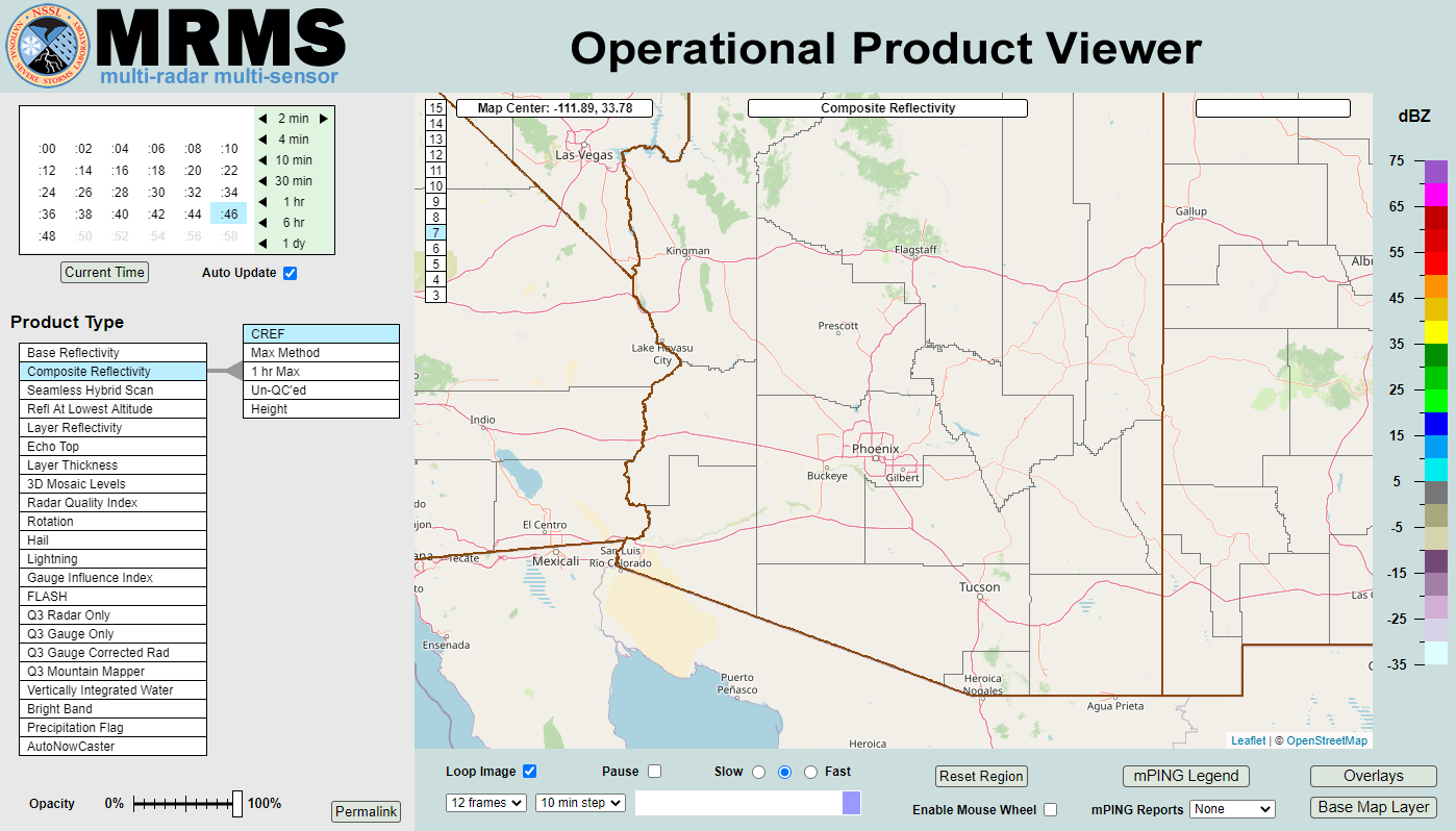 MRMS Radar Imagery
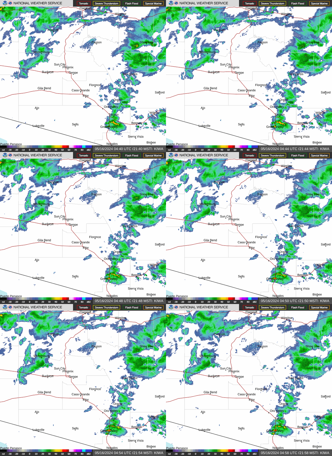 Phoenix Radar
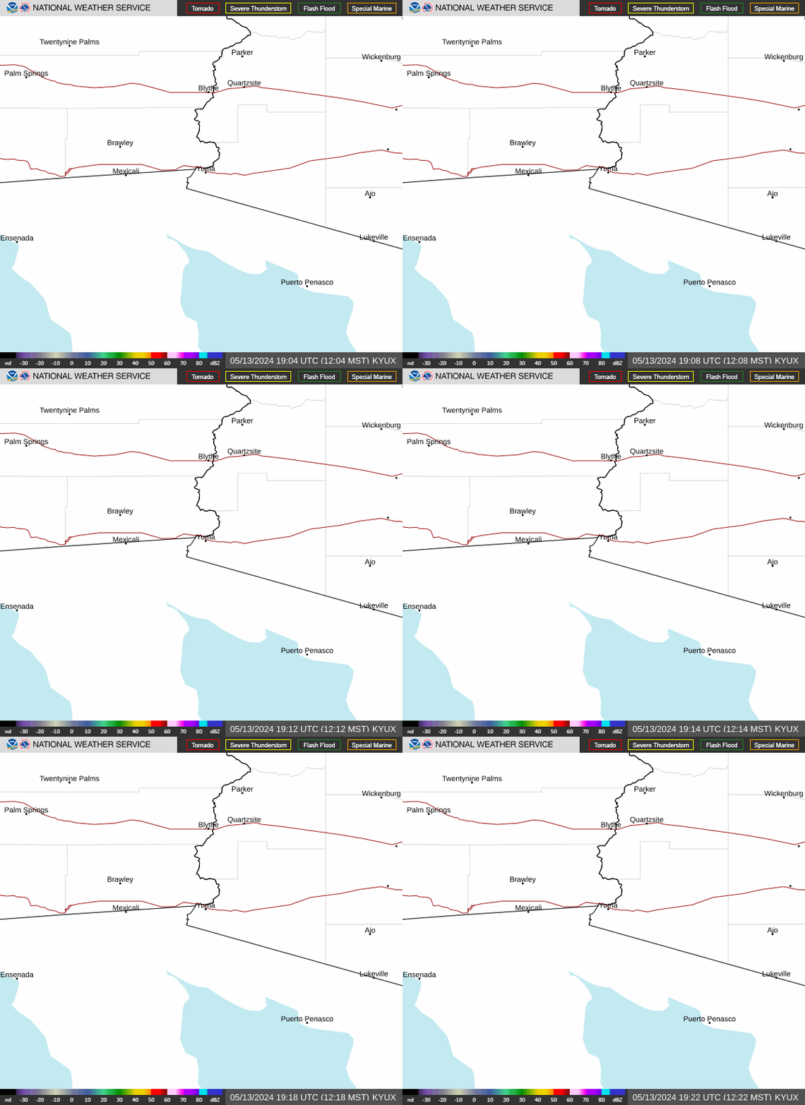 Yuma Radar
 Regional Satellite
 GOES-19 Satellite
 Weather & Hazards Data Viewer
 Forecast Discussion
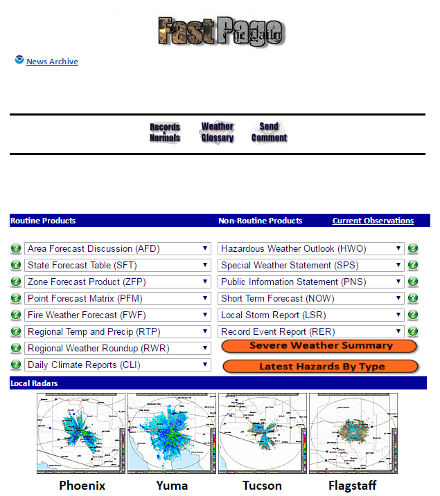 Fast Page
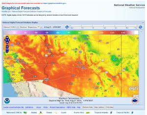 Local Graphical Forecast
 Drought Monitor
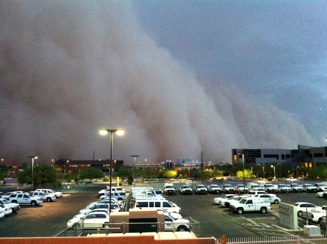 Monsoon Tracker
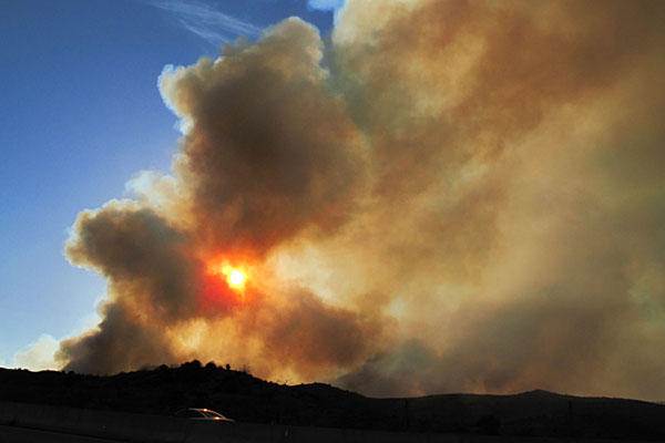 Fire Weather
 Heat
 Graphical HWO
 SPC Outlooks
 Hurricane Outlook
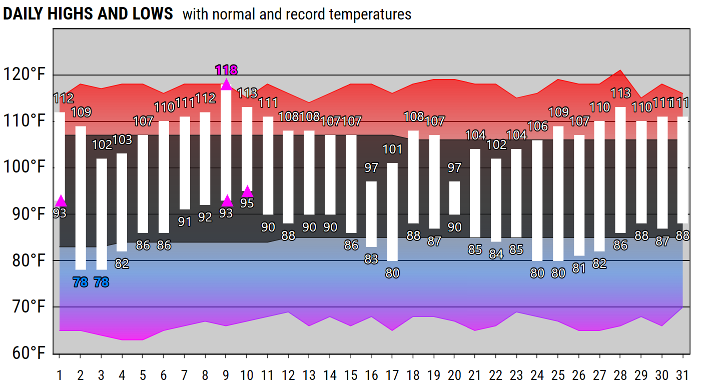 Local Climate Charts
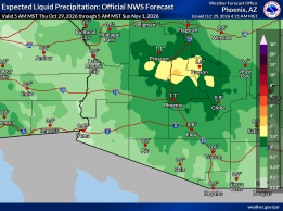 Probabilistic Rainfall Forecast
 Follow us on X
 Follow us on Facebook
 Follow us on YouTube
 PSR RSS Feed