There are no watches, warnings, or advisories at this time.
Above Normal Temperatures
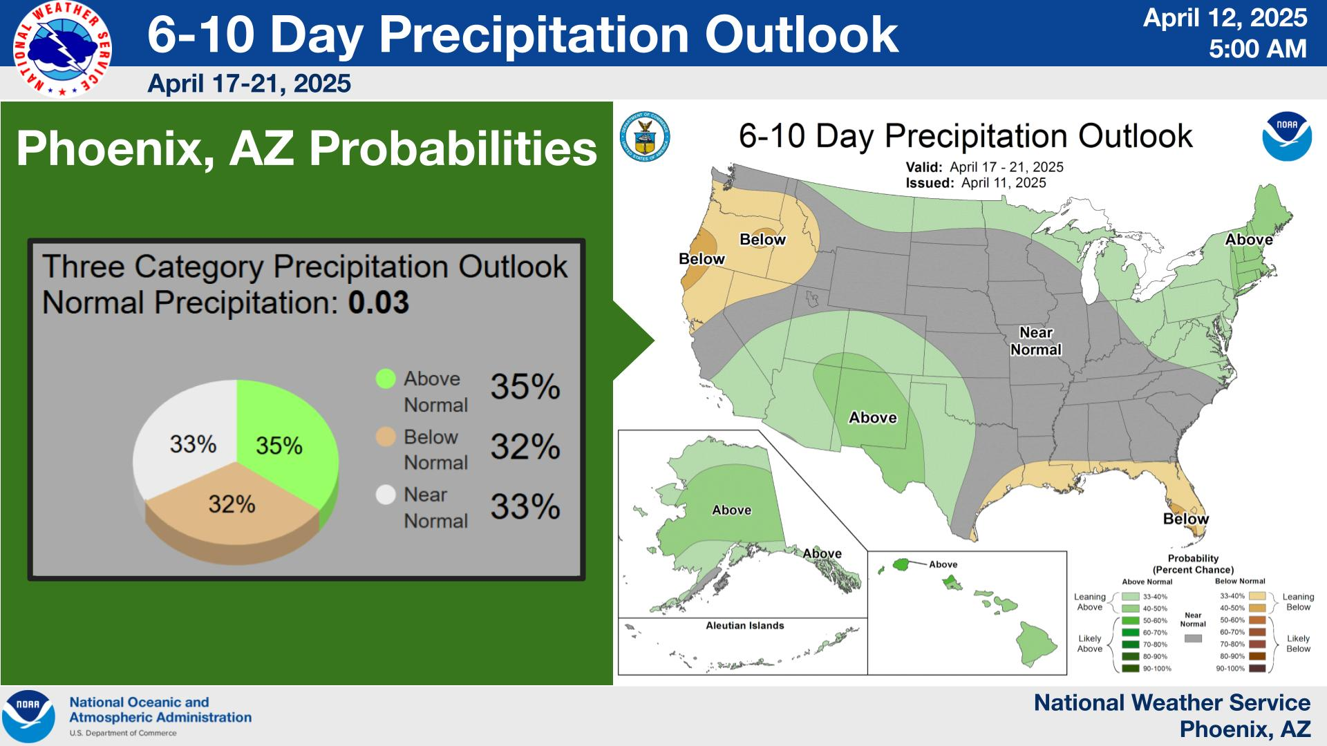
6-10 Day Outlook
Temperatures will continue to warm well above normal this week with lower deserts highs reaching the upper 70s and higher terrain areas in the mid 60s. Dry and tranquil weather conditions will prevail aside from some afternoon breeziness.


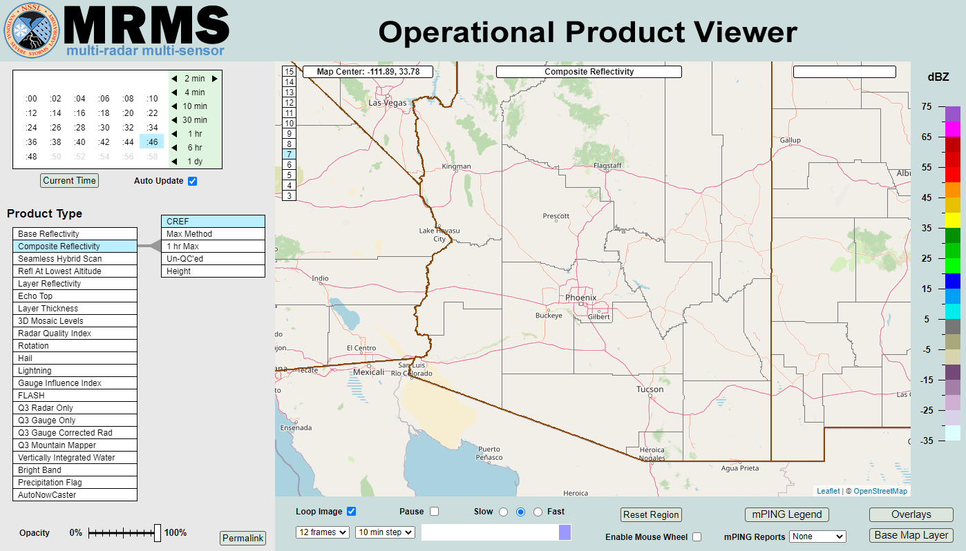 MRMS Radar Imagery
 Phoenix Radar
 Yuma Radar
 Regional Satellite
 GOES-19 Satellite
.PNG) Weather & Hazards Data Viewer
Weather & Hazards Data Viewer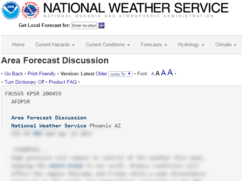 Forecast Discussion
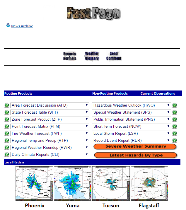 Fast Page
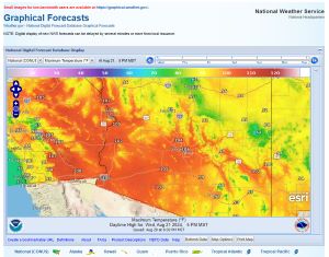 Local Graphical Forecast
 Drought Monitor
 Monsoon Tracker
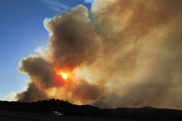 Fire Weather
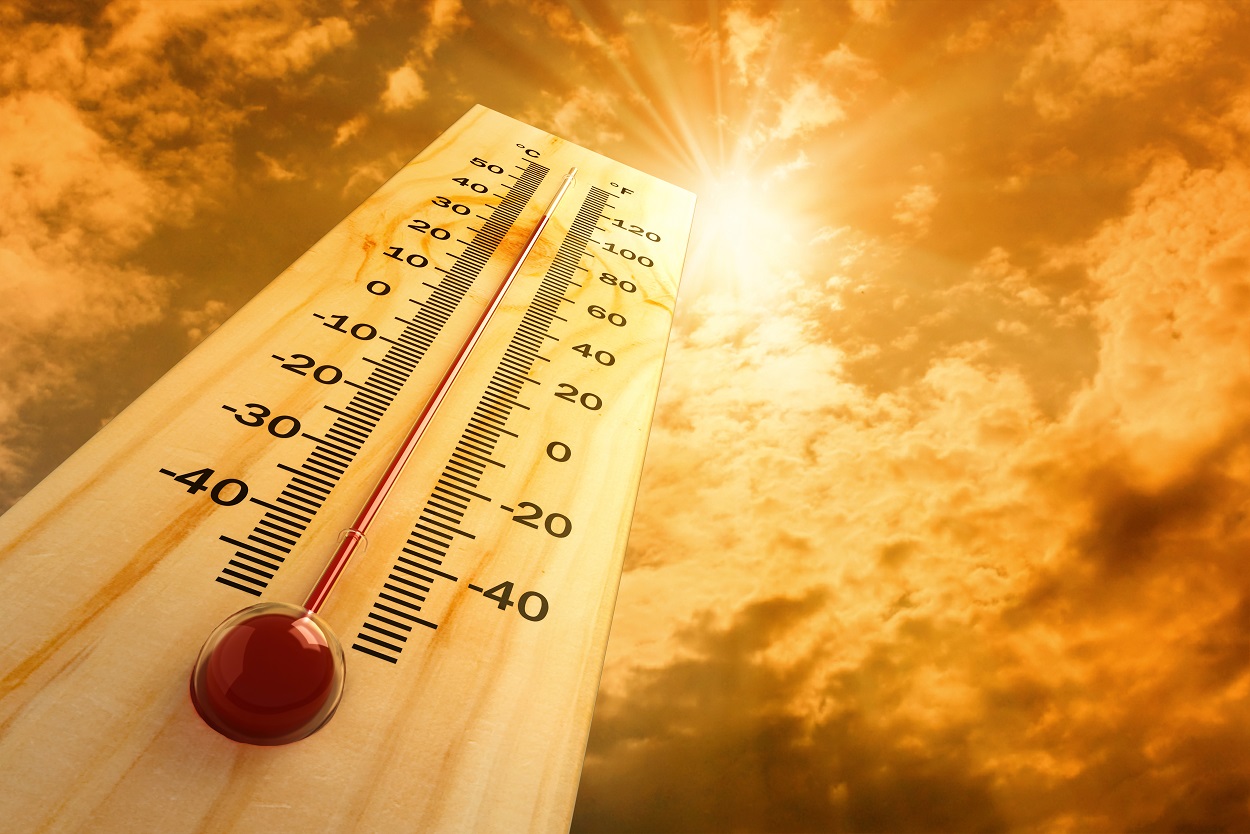 Heat
Heat Experimental Graphical HWO
 SPC Outlooks
 Hurricane Outlook
 Local Climate Information
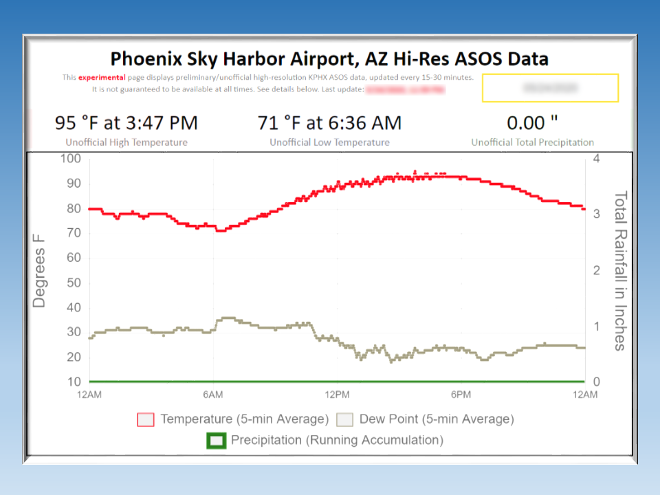 Hi-res KPHX ASOS Data