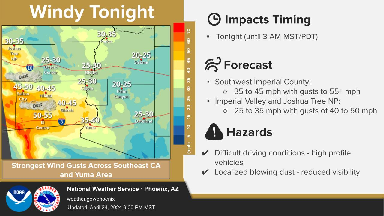
Widely scattered showers and thunderstorms will be possible again Thursday afternoon through early evening, mostly in the White Mountains and over mountain tops and ridges of southeast AZ, including parts of southern Gila County. Rainfall potential will be limited, however, lightning strikes could lead to new fire starts in remote, higher terrain areas, and strong, gusty outflow winds are expected with any thunderstorms that do develop.


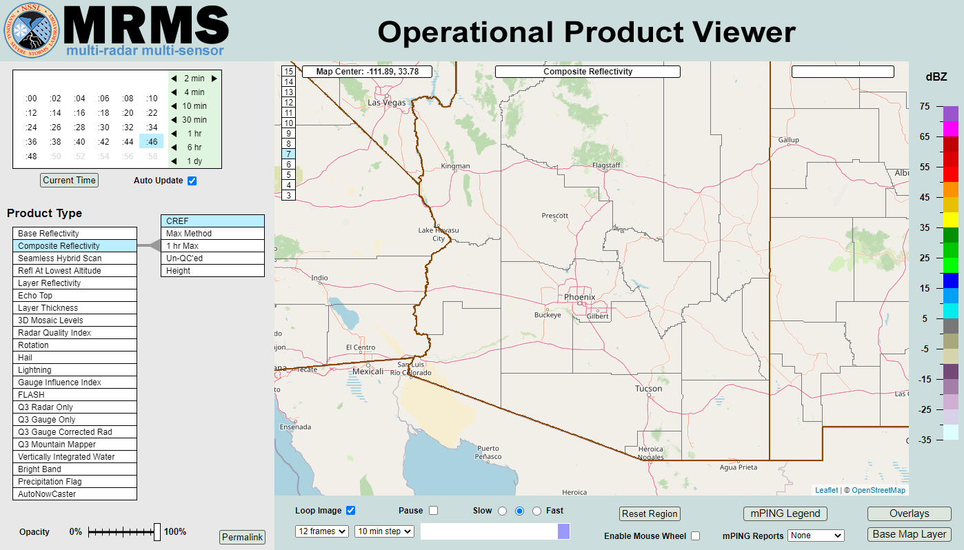 MRMS Radar Imagery
 Phoenix Radar
 Yuma Radar
 Regional Satellite
 GOES-19 Satellite
.PNG) Weather & Hazards Data Viewer
Weather & Hazards Data Viewer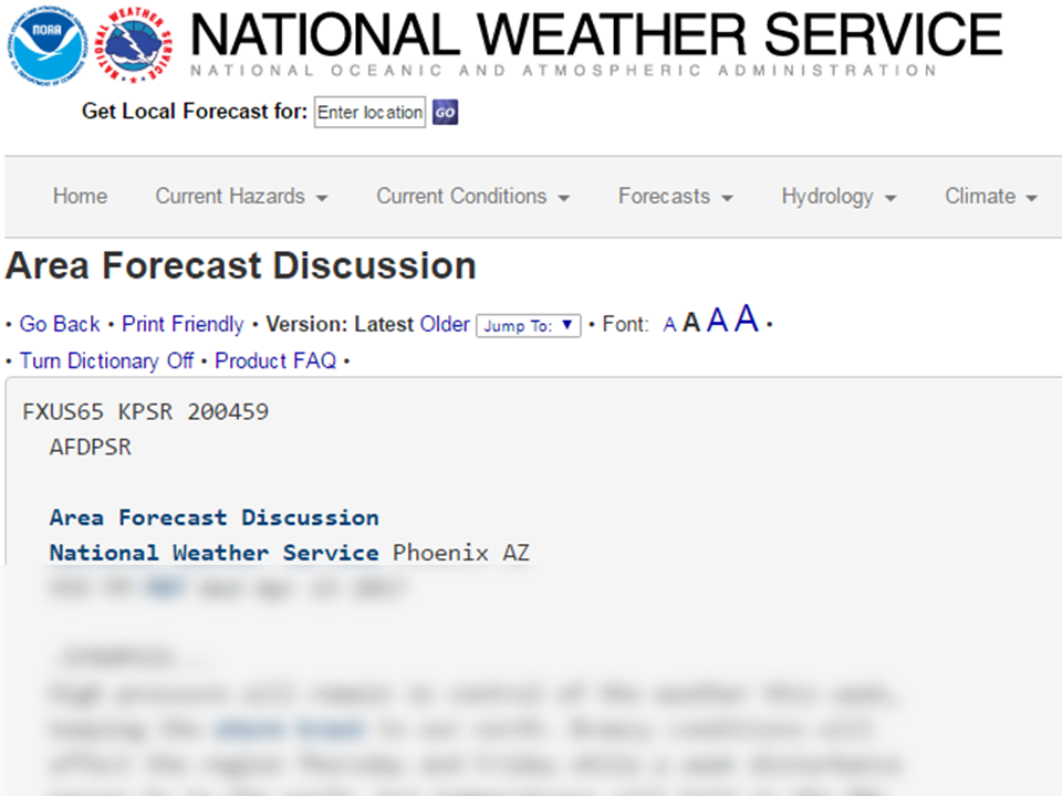 Forecast Discussion
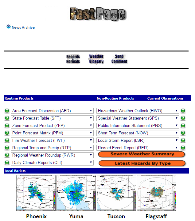 Fast Page
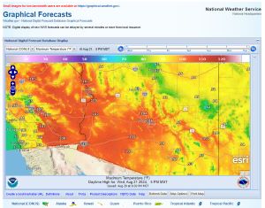 Local Graphical Forecast
 Drought Monitor
 Monsoon Tracker
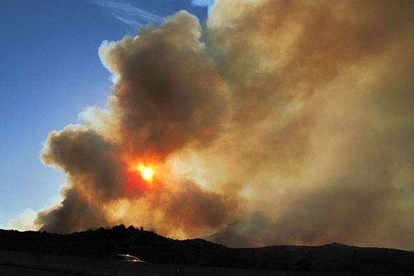 Fire Weather
 Heat
Heat Experimental Graphical HWO
 SPC Outlooks
 Hurricane Outlook
 Local Climate Charts
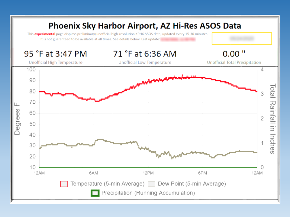 Hi-res KPHX ASOS Data