 |
Current Conditions | |
Airmets, Obs & Pireps |  |
|
TAFs, FAs & Discussions | |
 |
Forecast Charts |  |
|
Additional WX Info | |
| Winds/Temps Aloft and Soaring Forecasts |
Weather Check, next 48 hours (click on links for more detail) |
||||||||||||||||||||||||||||||||||||||||||||||||||||||||||||||||||||||||||
Text FDs...
|
 Current | +12 hrs | +24 | +36 | +48 move mouse over links to change image |
||||||||||||||||||||||||||||||||||||||||||||||||||||||||||||||||||||||||||
| Hazardous Weather Outlooks | Low Level Sig. Weather Charts | ||||||||||||||||||||||||||||||||||||||||||||||||||||||||||||||||||||||||||
|
|||||||||||||||||||||||||||||||||||||||||||||||||||||||||||||||||||||||||||
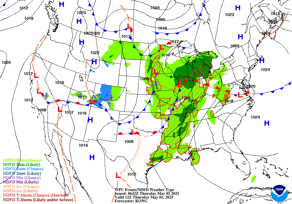
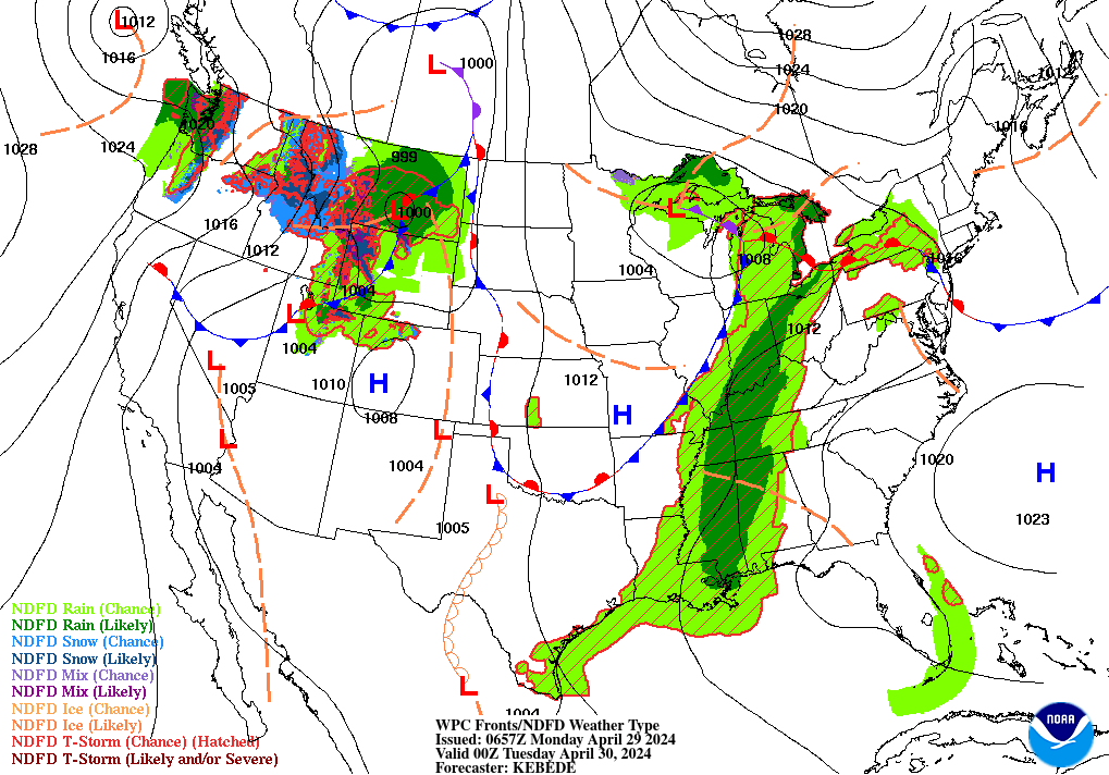
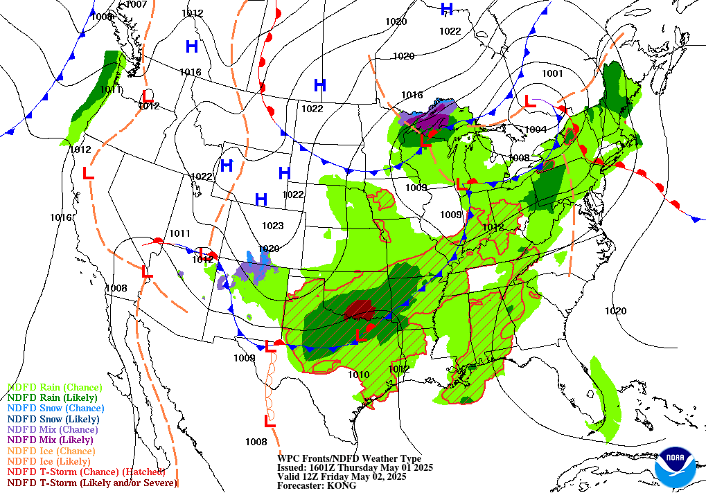
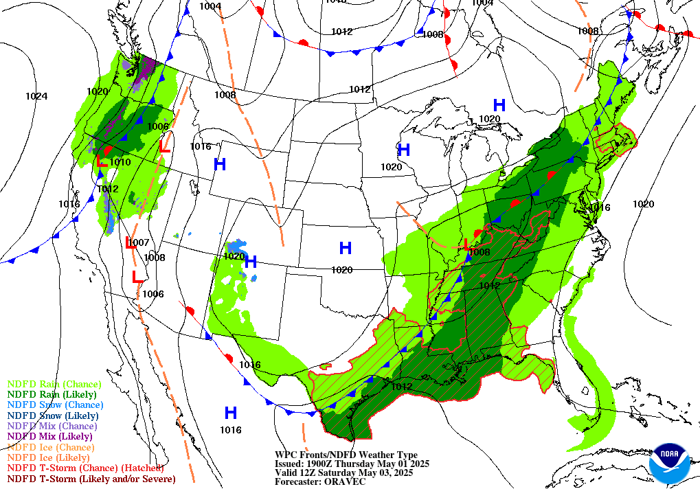
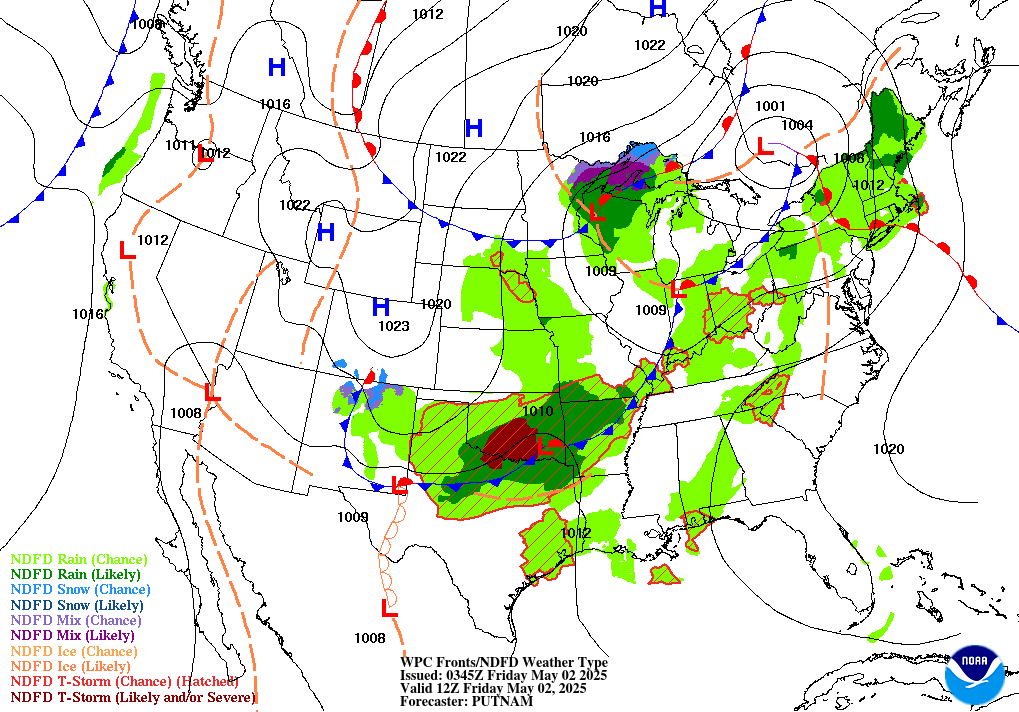
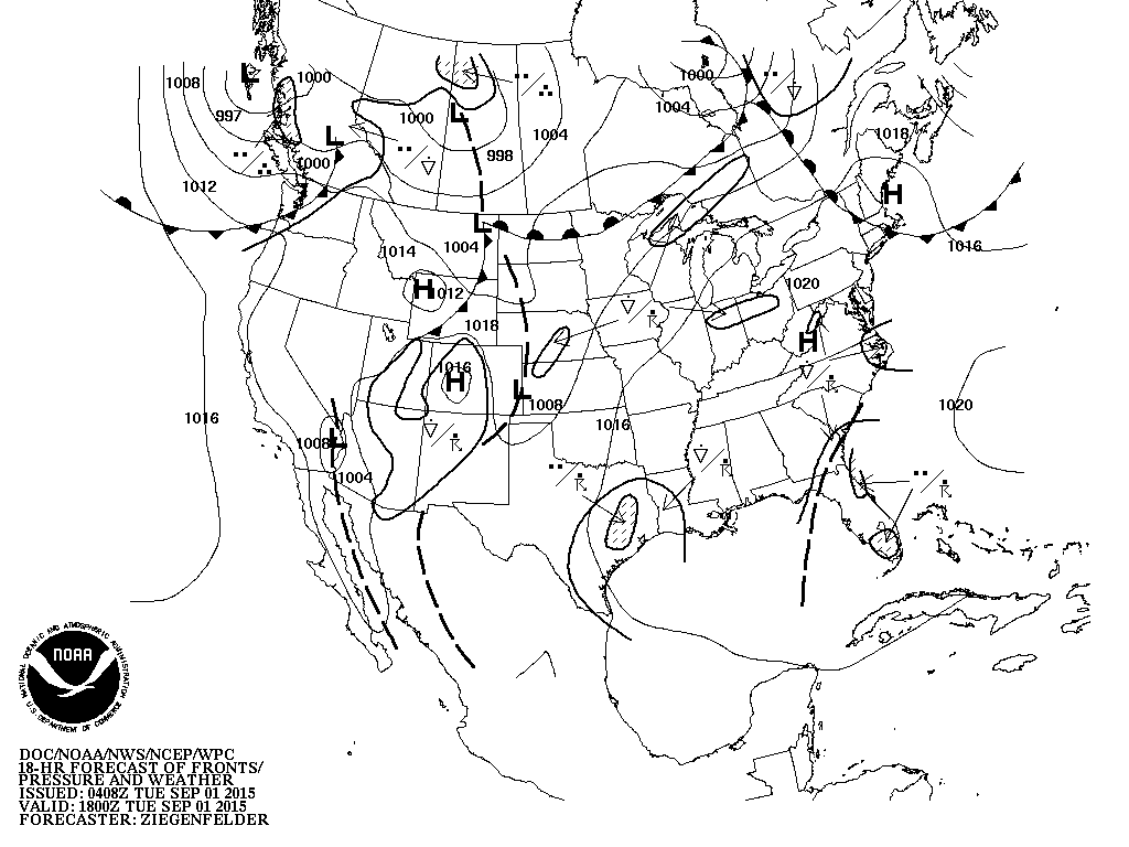
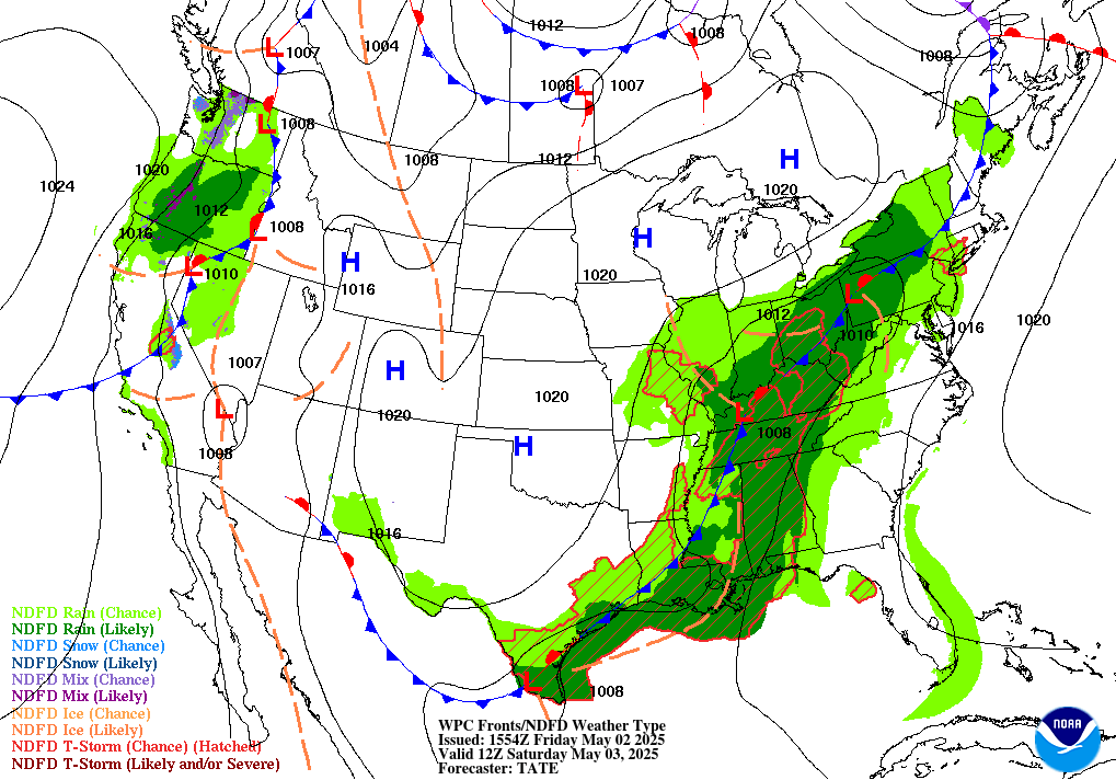
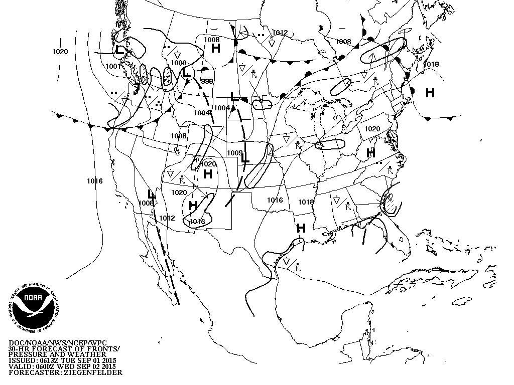
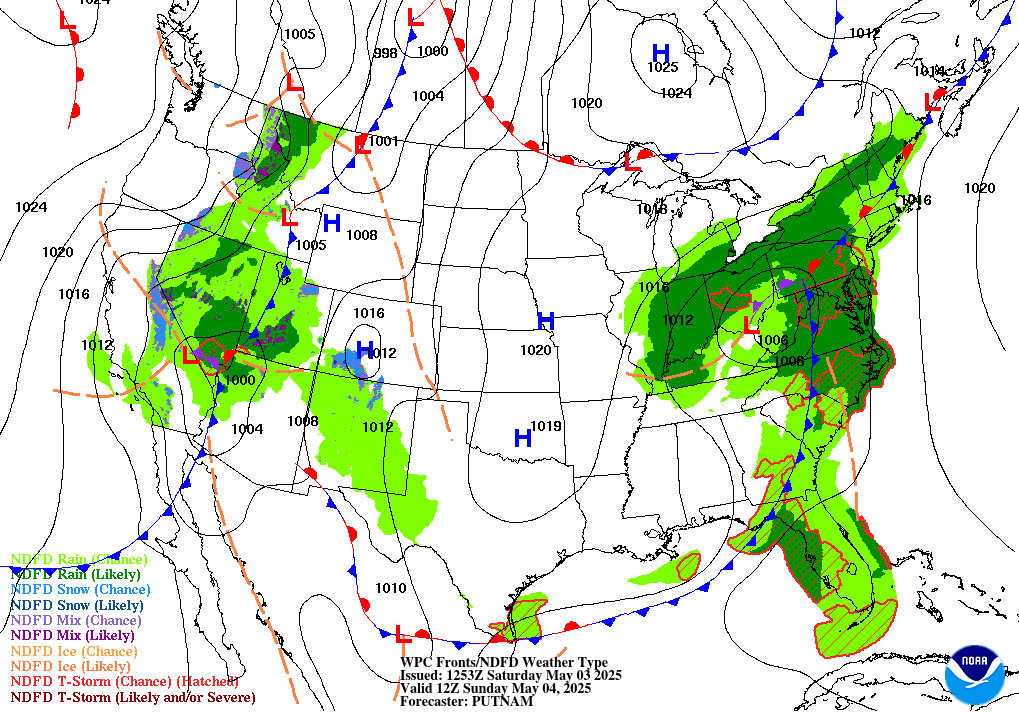
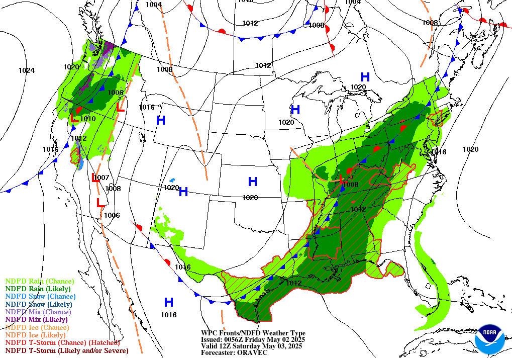
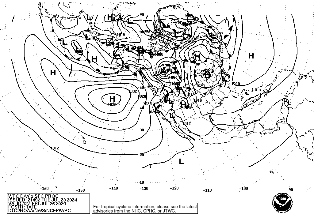
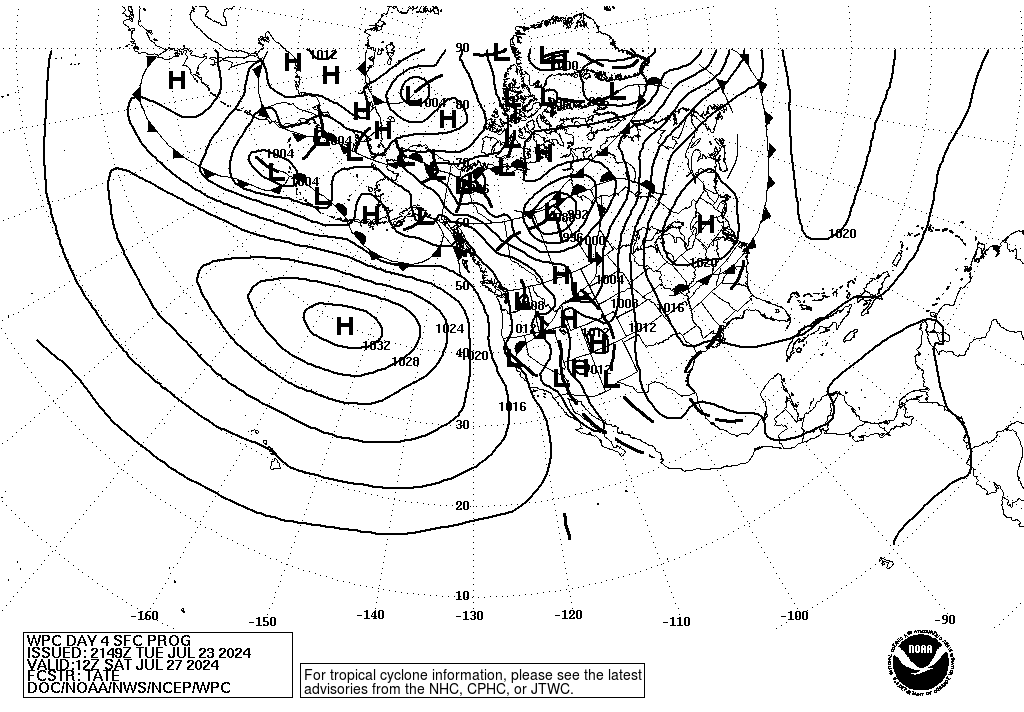
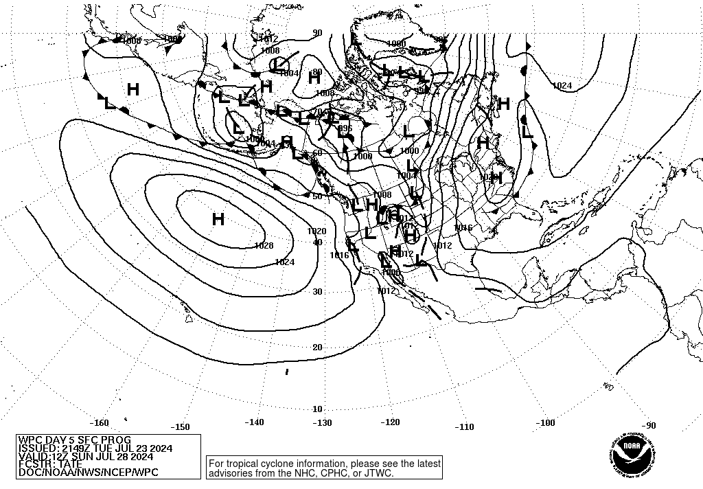
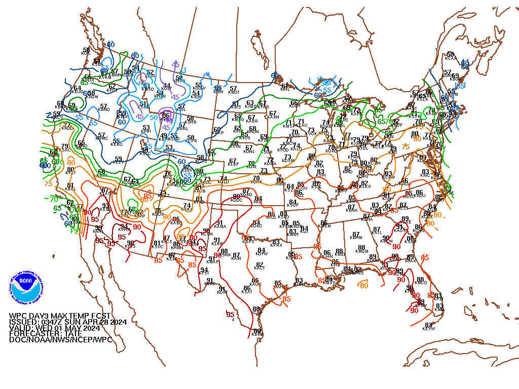
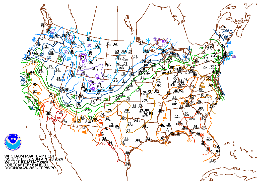
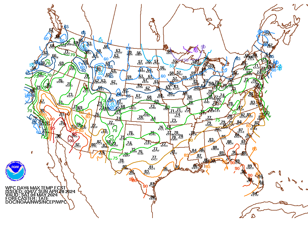
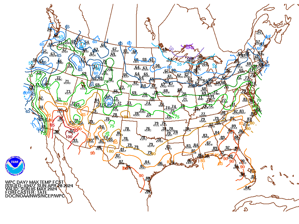
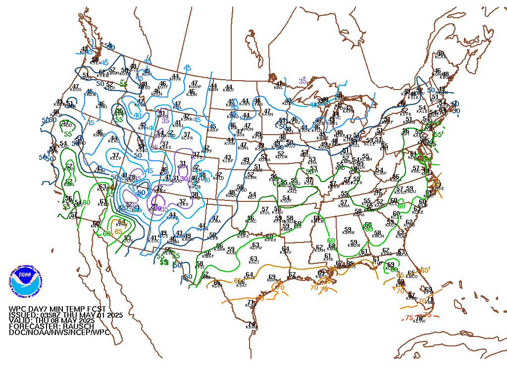
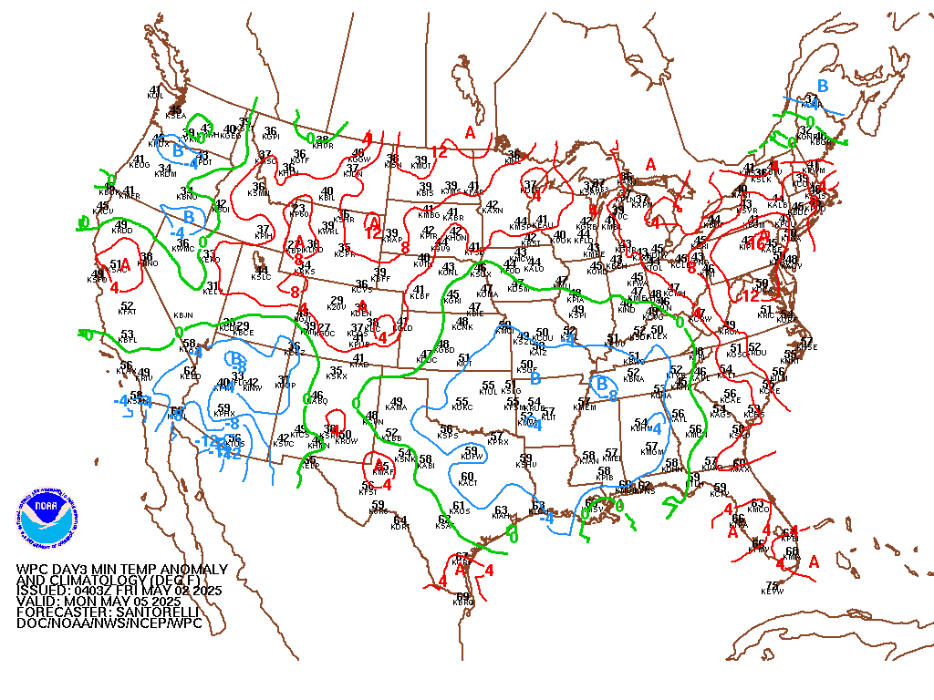
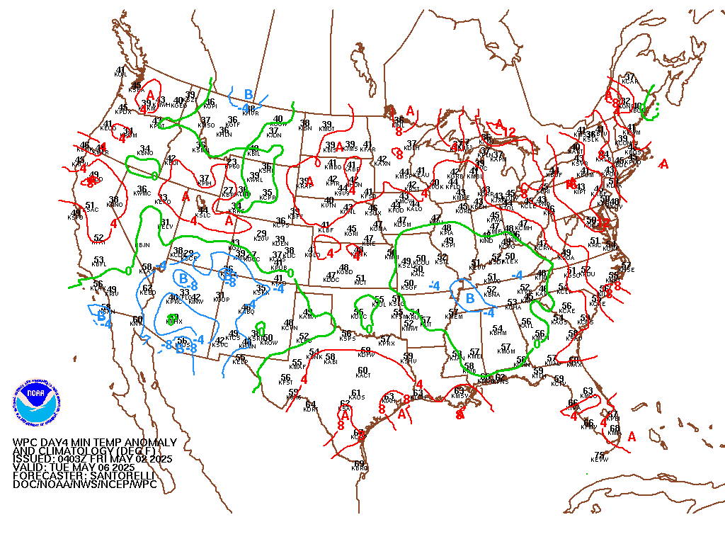
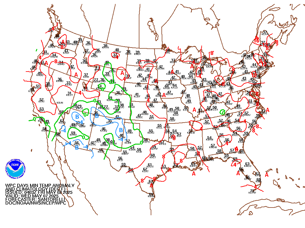
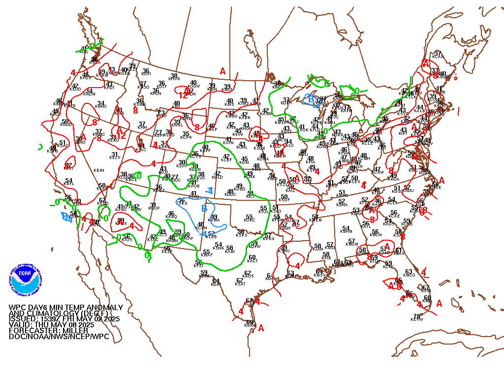
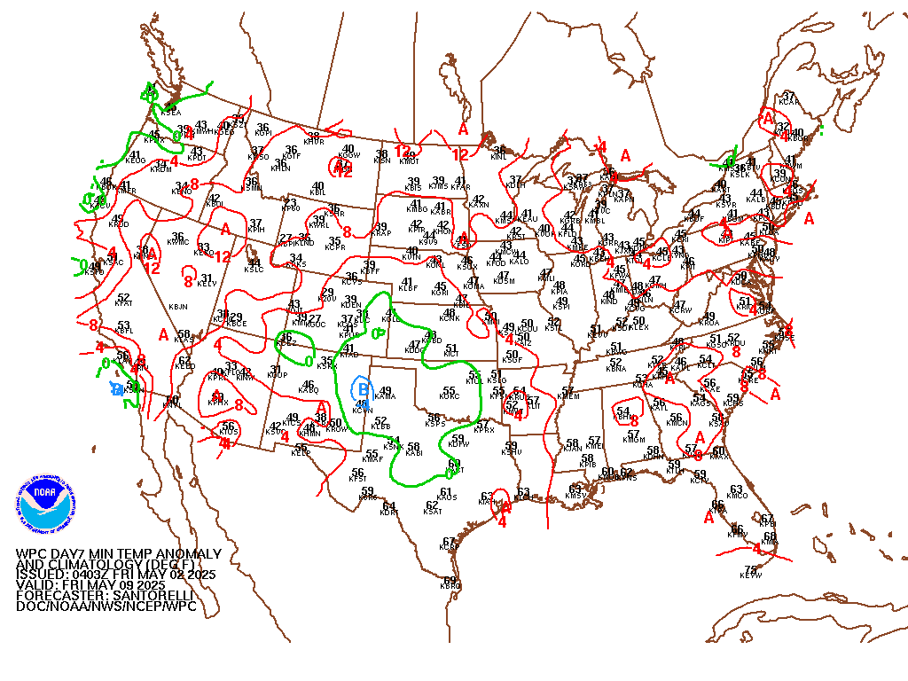
| Surface Charts 00 hr | 12 hr | 24 hr | 36 hr | 48 hr | 60 hr | 4 day | 5 day | 6 day | 7 day | 8 day | |||||||||||||||||||||||||||||||||||||||||||||||||||||||||||||||||||||||||||
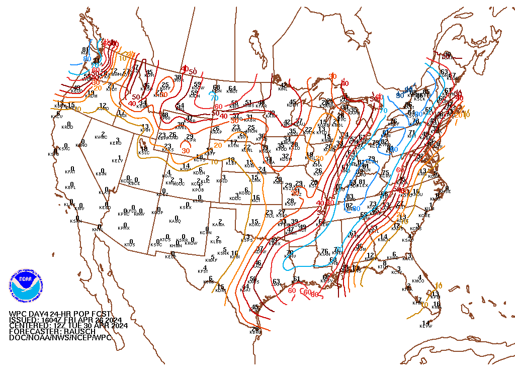
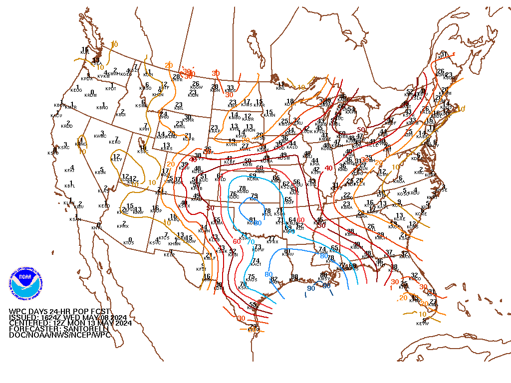
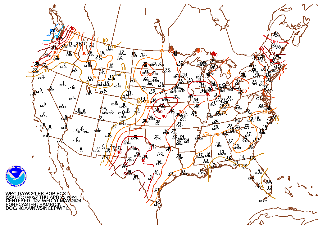
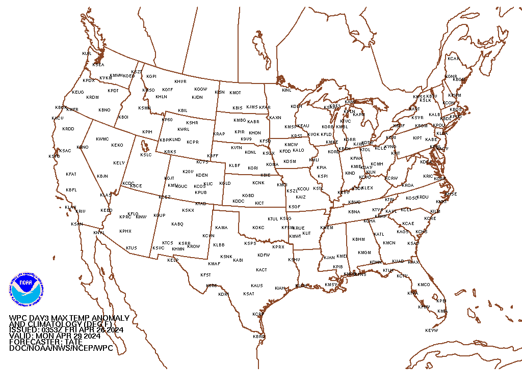
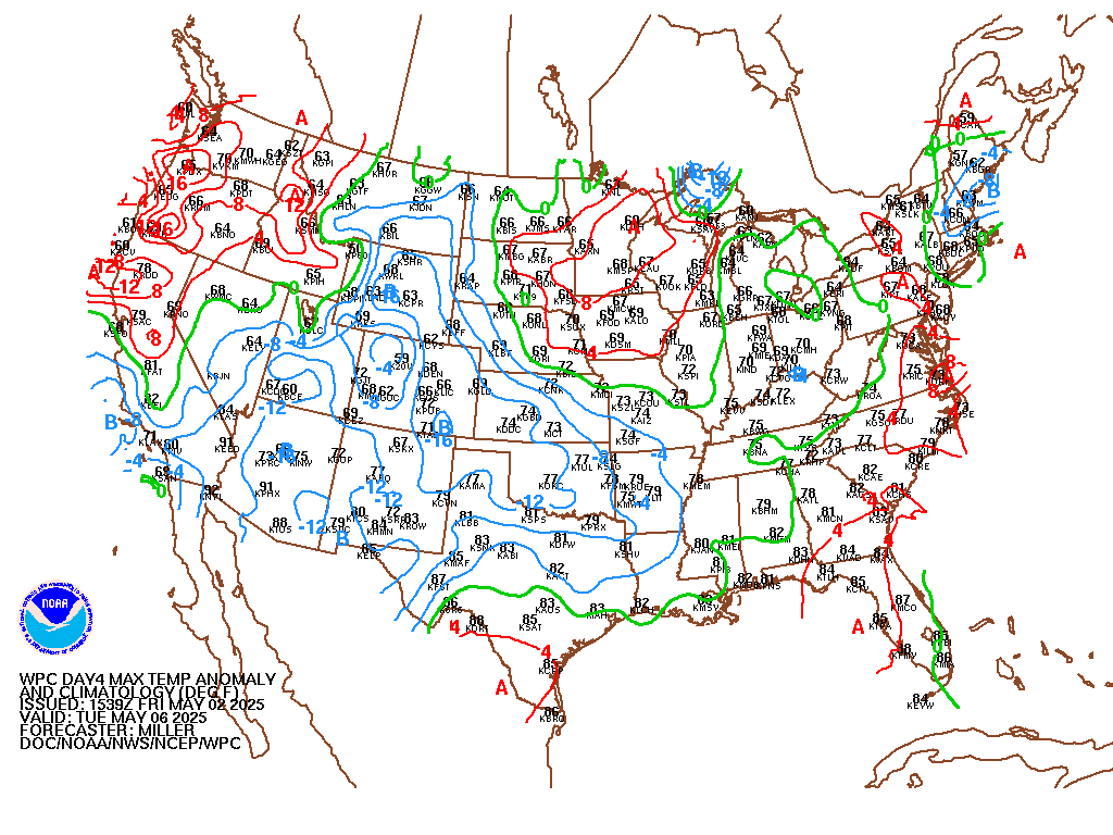
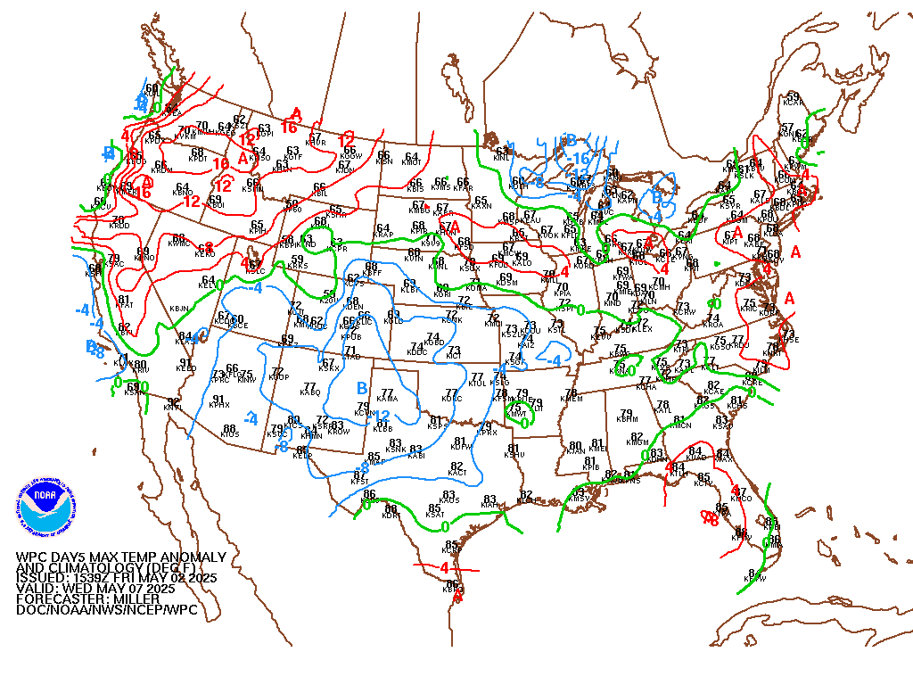
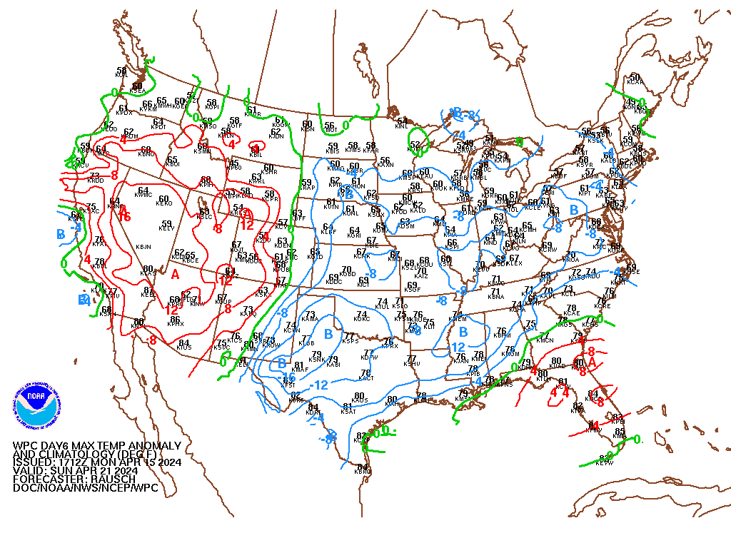
| Miscellaneous Forecast Charts | |||||||||||||||||||||||||||||||||||||||||||||||||||||||||||||||||||||||||||
|
|||||||||||||||||||||||||||||||||||||||||||||||||||||||||||||||||||||||||||
| Miscellaneous Items: |
|

