National Weather Service United States Department of Commerce
News Headlines
Click a location below for detailed forecast.

Last Map Update: Sat, Aug 15, 2026 at 5:50:20 am AST

🌬️🌊 Breezy to windy conditions will continue this weekend, with hazardous marine and coastal conditions. Tropical wave AL92 will bring increased moisture and thunderstorms, particularly over the Caribbean waters, but has a very low chance of tropical formation. 🌬️🌊 Condiciones ventosas continuarán este fin de semana, con condiciones marítimas y costeras peligrosas. La onda tropical AL92 traerá más humedad y tronadas, mayormente en aguas del Caribe pero mantiene una probabilidad muy baja de formación tropical. #PRwx #USVIwx
[AUG 15, 2026] ⚠️ Heat Advisory Advertencia de Calor 📍 Coastal & Urban areas of Puerto Rico & the U.S. Virgin Islands ⏰ Until: 5 PM AST An elevated heat risk is expected today, meaning the heat may affect most heat-sensitive people, especially those without effective cooling or adequate hydration. ***** ⚠️ Advertencia de Calor 📍Áreas Costeras y Urbanas de Puerto Rico & Islas Vírgenes ⏰ Hasta: 5 PM AST Se espera un riesgo de calor elevado hoy, lo que significa que el calor puede afectar a la mayoría de las personas sensibles al calor, especialmente aquellas sin enfriamiento efectivo o hidratación adecuada. #PRwx #USVIwx
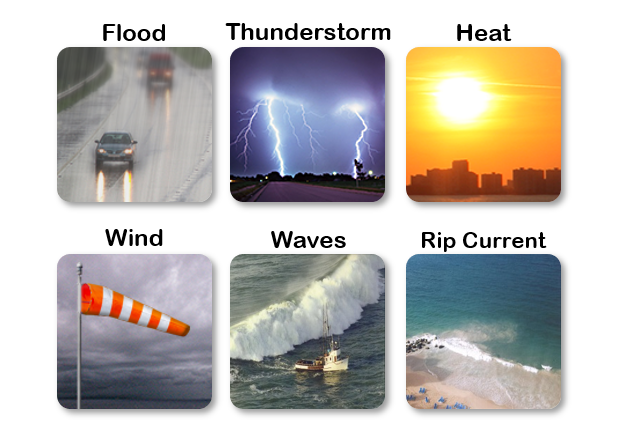
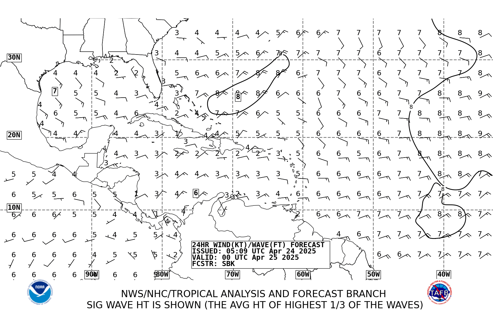
Aug. 14, 2026 — Rough Surf and Hazardous Seas - High rip current risk and Small Craft Advisories are in effect for portions of Puerto Rico and the U.S. Virgin Islands. Breaking waves of 6 feet or higher and hazardous marine conditions are expected through the weekend. | Hay riesgo alto de corrientes marinas y Advertencias para Embarcaciones Pequeñas para sectores de Puerto Rico y las Islas Vírgenes Estadounidenses. Se esperan olas rompientes de 6 pies o más y condiciones marítimas peligrosas durante el fin de semana.
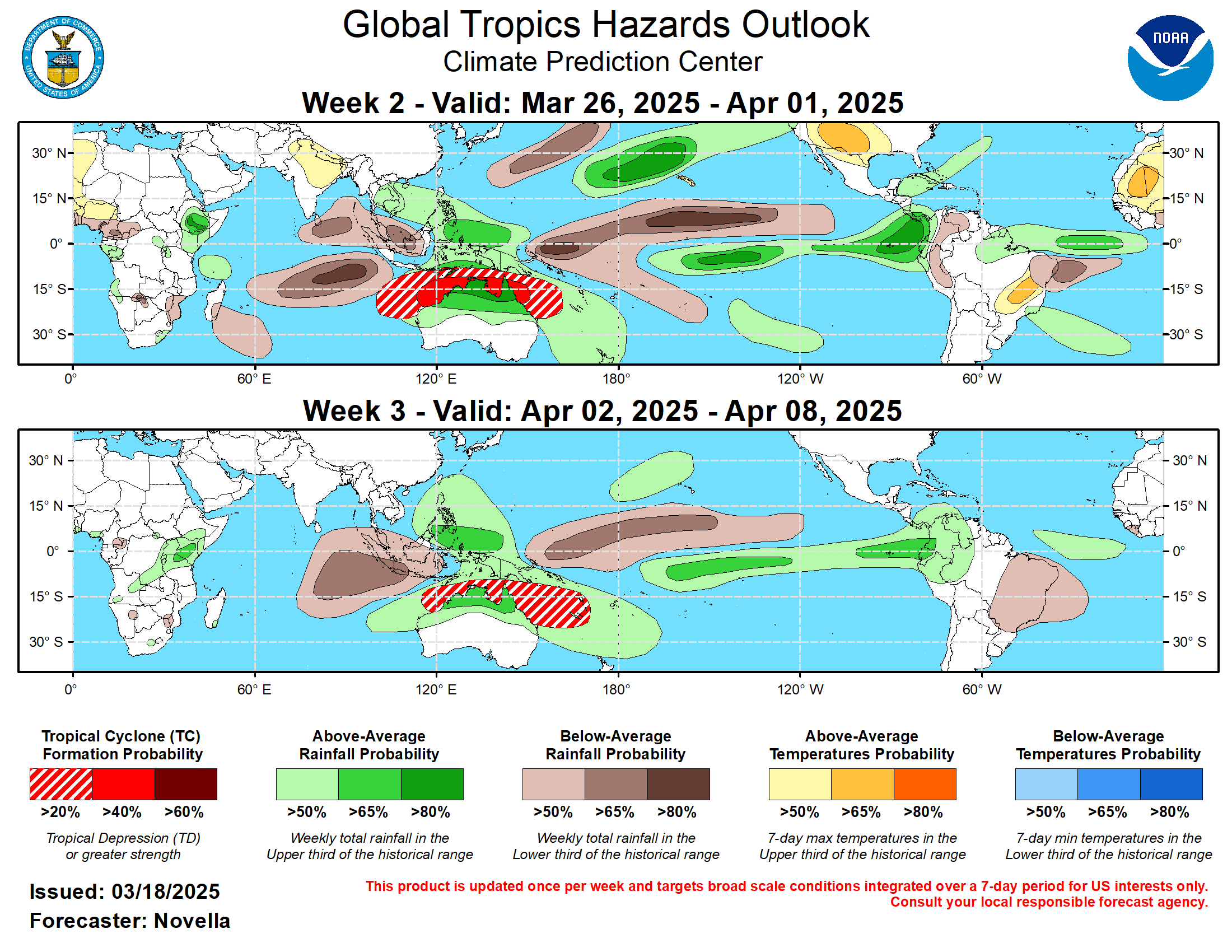
[Aug 14th] 8 AM AST Tropical Weather Outlook 🌀 Aguaceros y tormentas eléctricas asociadas con una onda tropical (Invest 92L) ubicada a través del Atlántico tropical central se mantienen desorganizadas. Actualmente, el sistema se desplaza a través de un entorno desfavorable caracterizado por fuertes vientos en la alta atmosfera y aire seco, lo que inhibirá su organización. Por lo tanto, tiene una baja probabilidad de formación tropical durante los próximos 2 a 7 días a medida que continúa hacia el oeste a través del Atlántico tropical. Showers and thunderstorms associated with a tropical wave (Invest 92L) located across the tropical central Atlantic remain disorganized. The system is currently moving through an unfavorable environment characterized by strong wind shear and dry air, which will inhibit its organization. Consequently, it has a low chance of tropical formation over the next 2 to 7 days as it continues westward across the tropical Atlantic. #PRwx #USVIwx
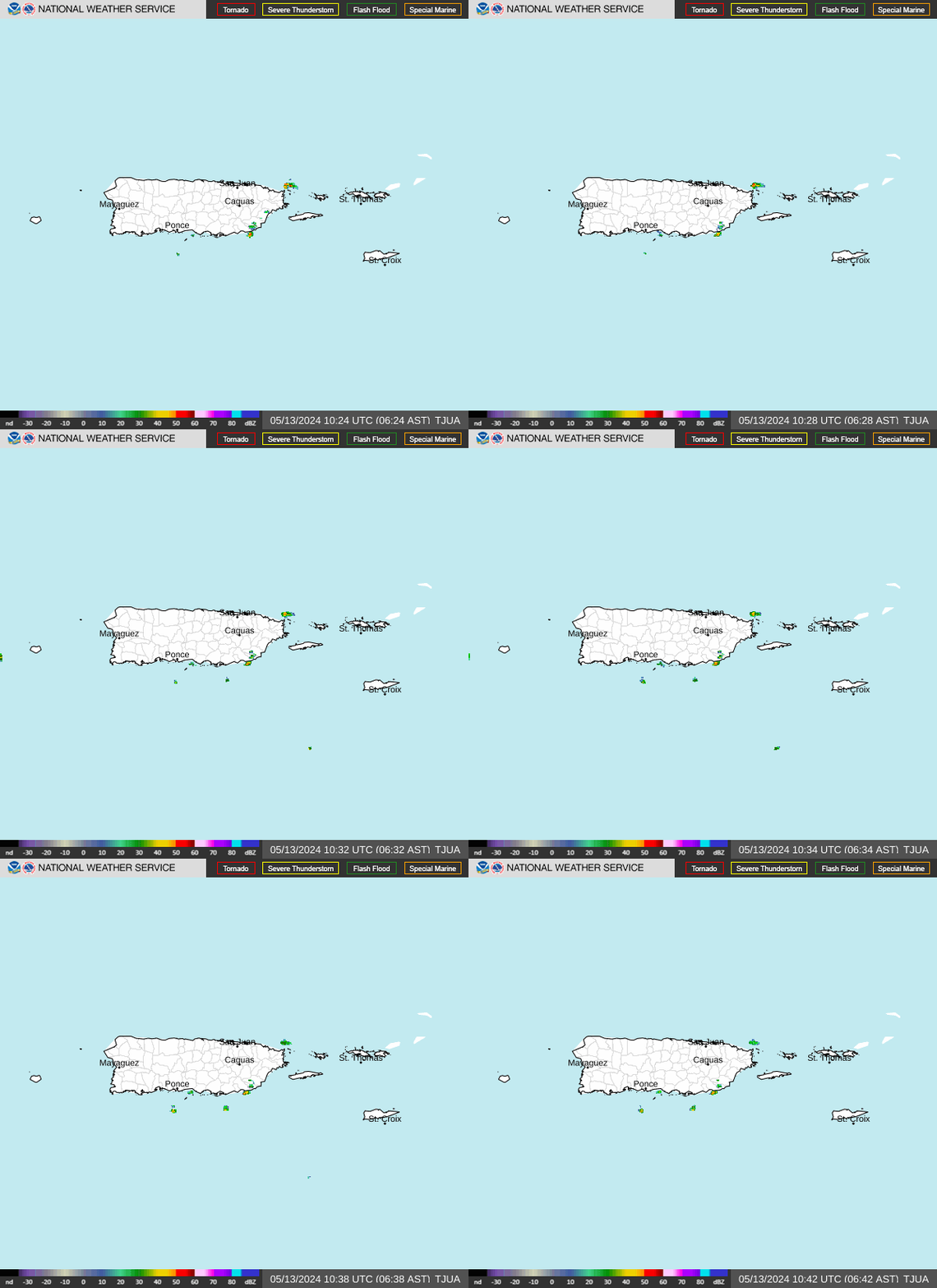
TJUA NEXRAD - Cayey, PR.